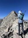
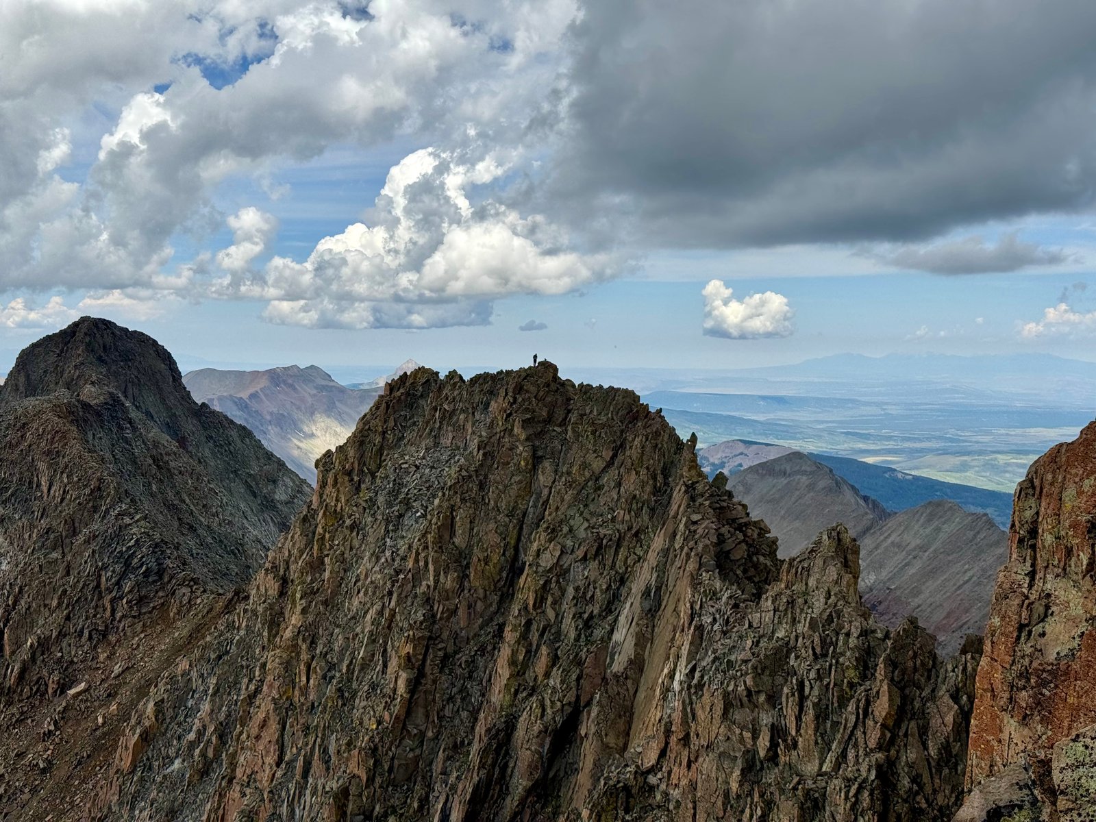
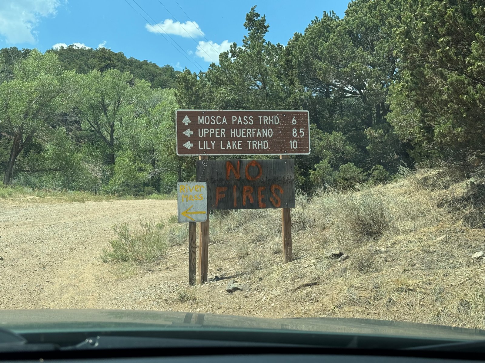
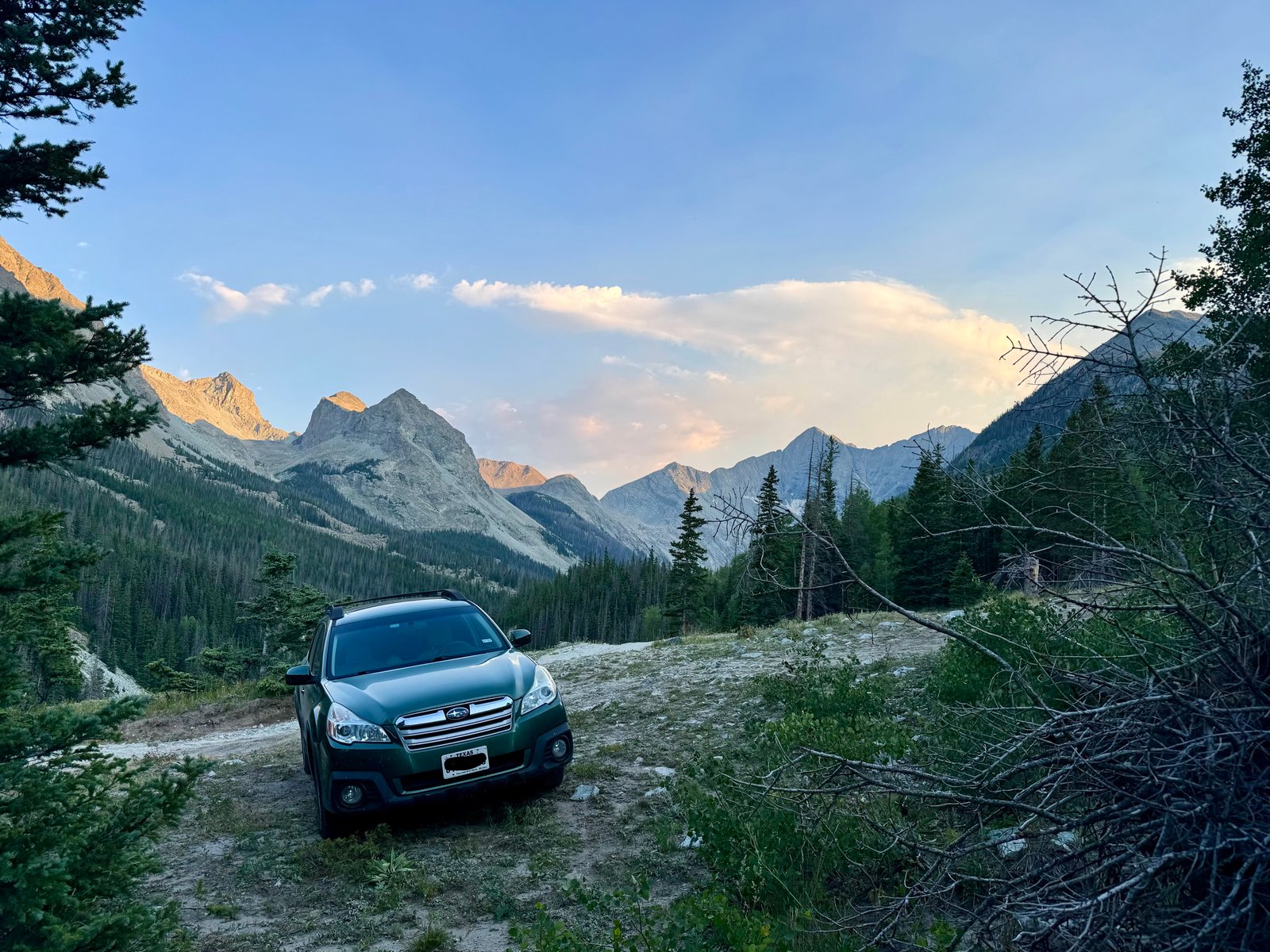
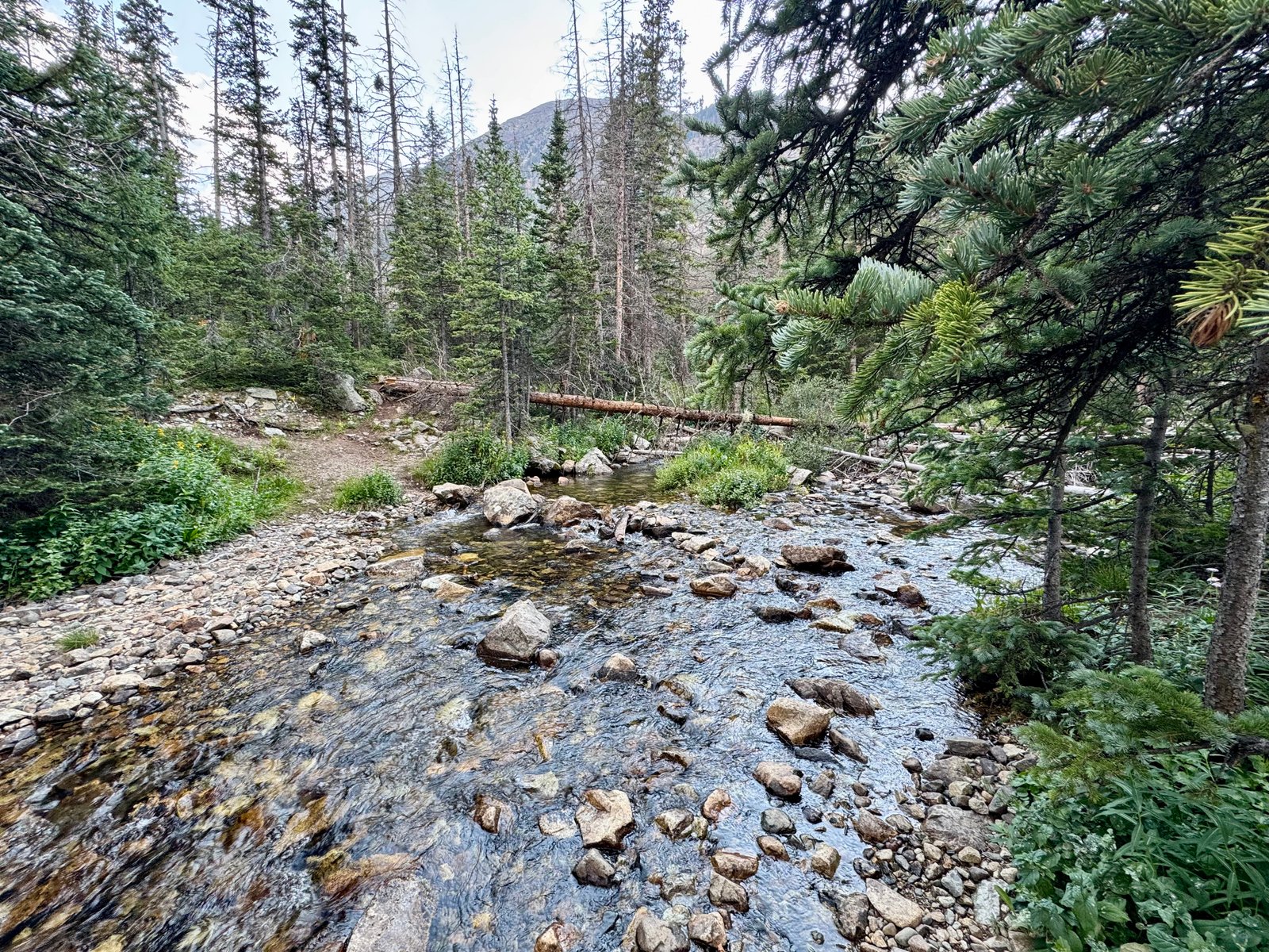
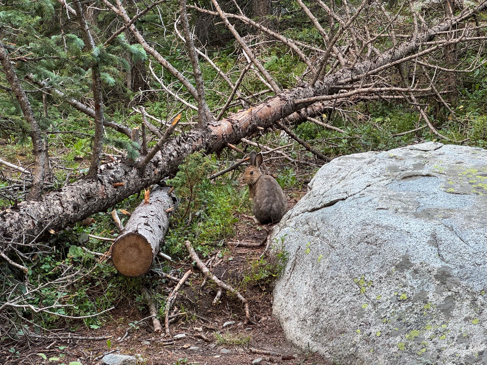
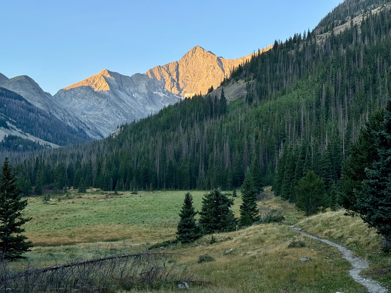
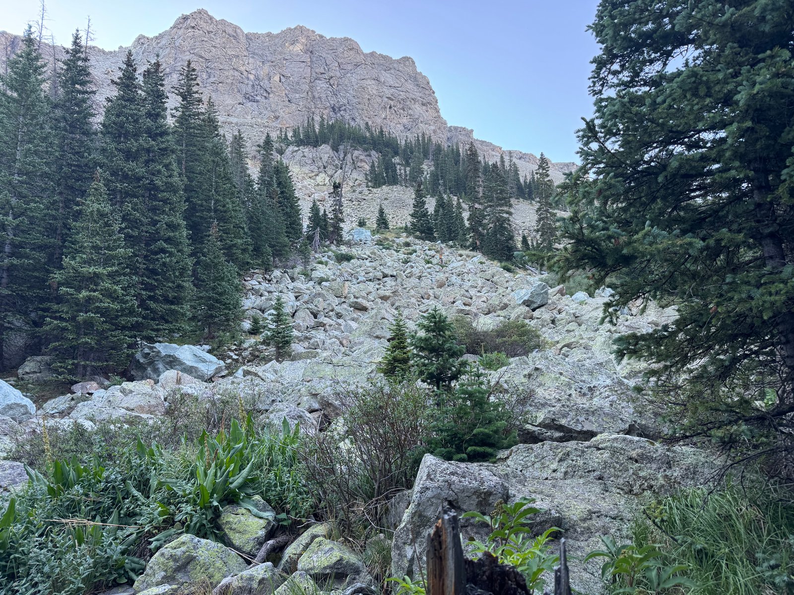
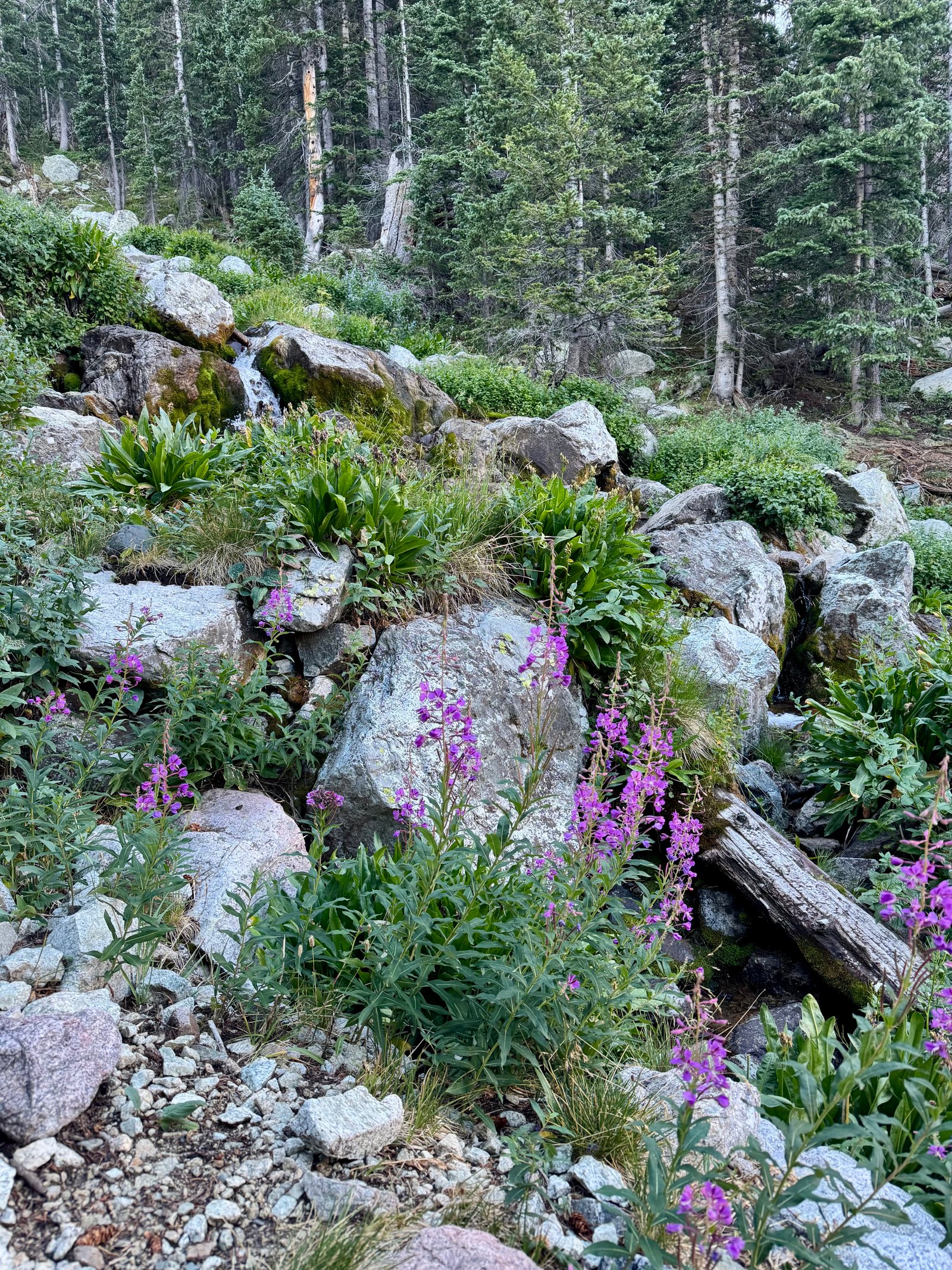
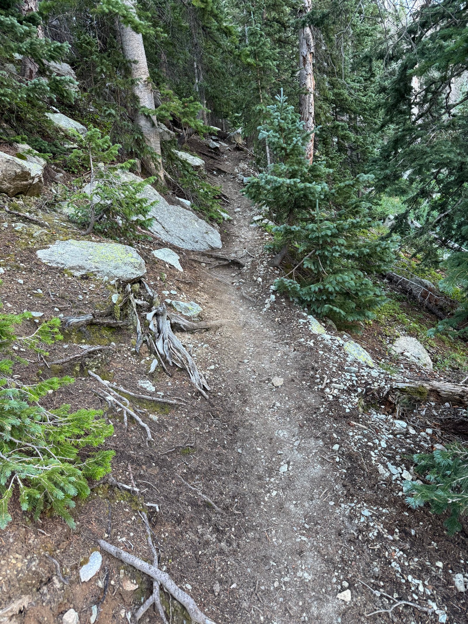
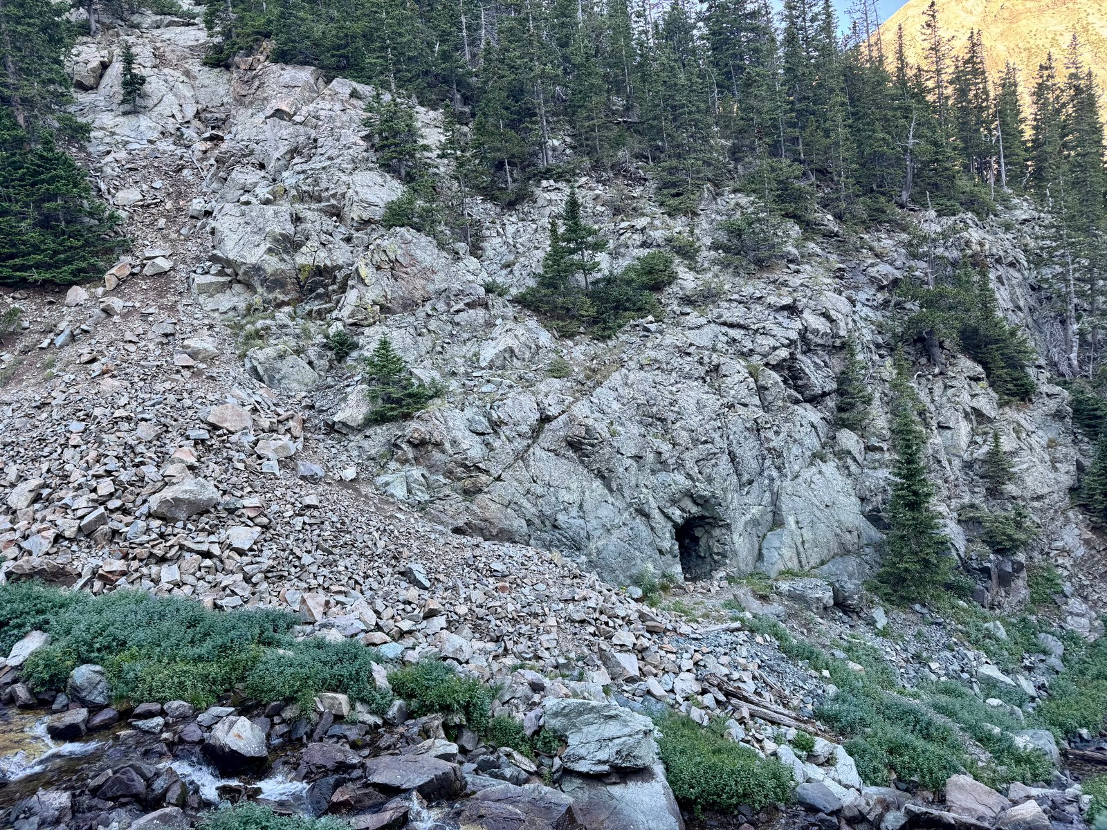
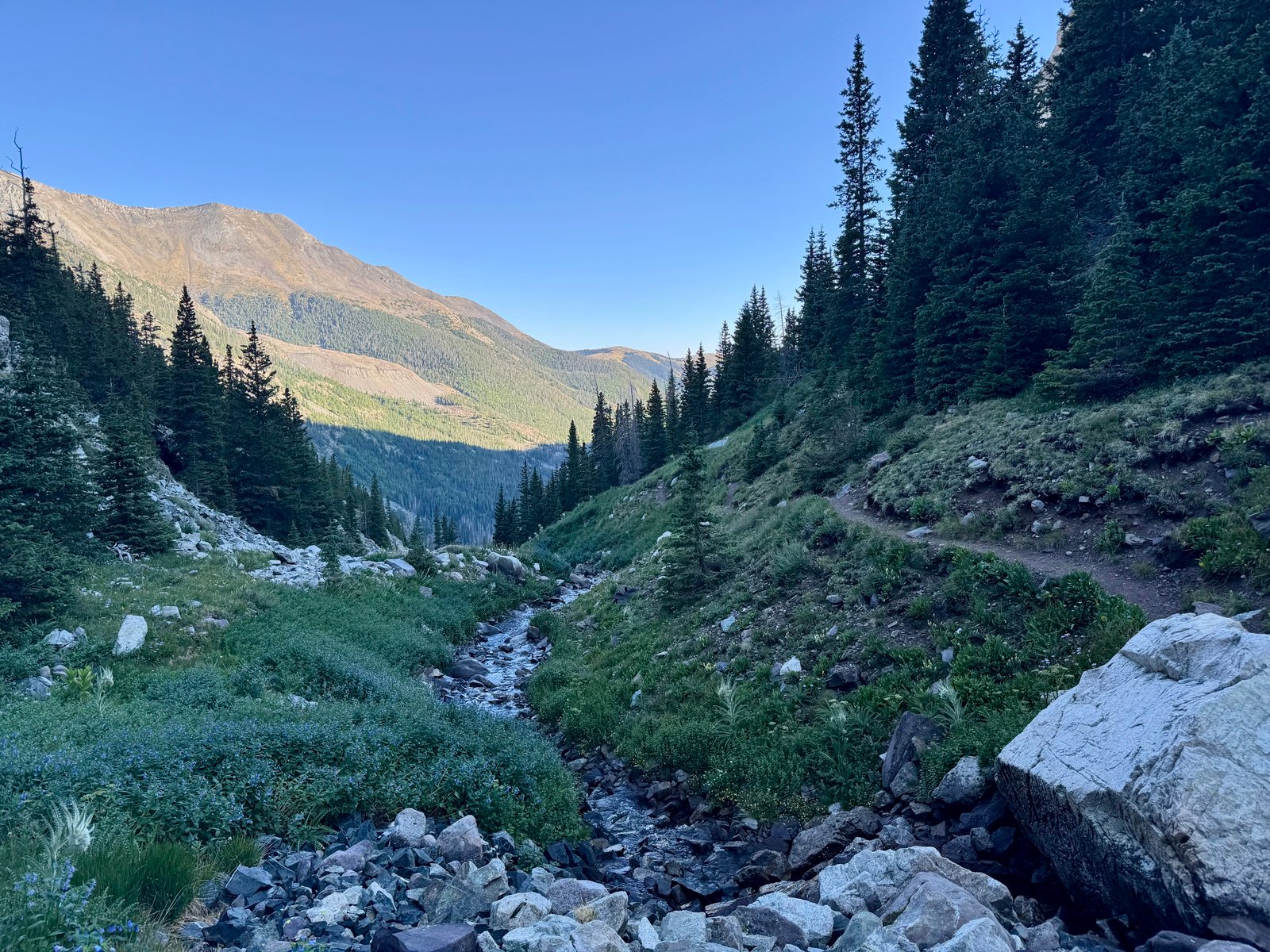
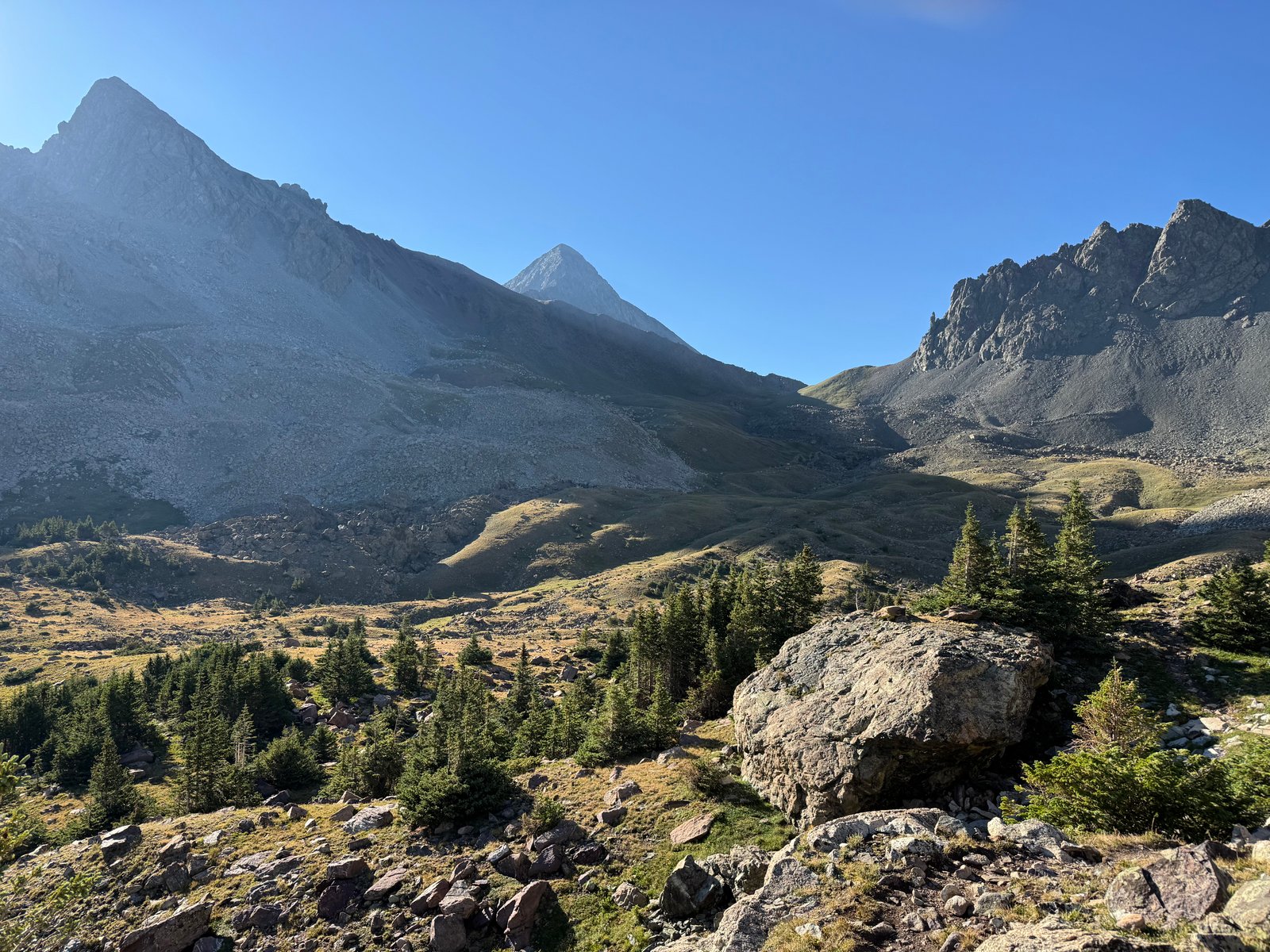
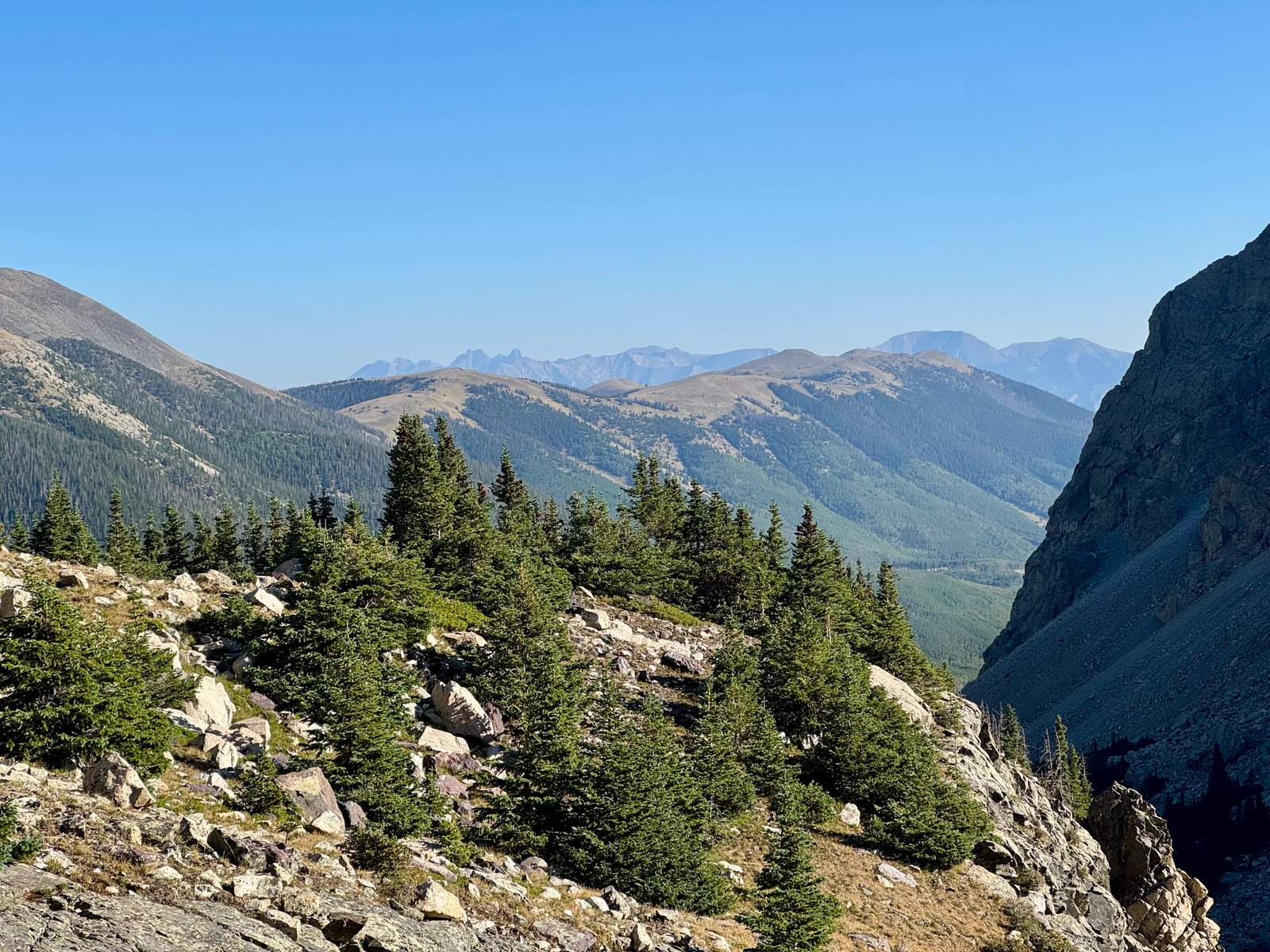
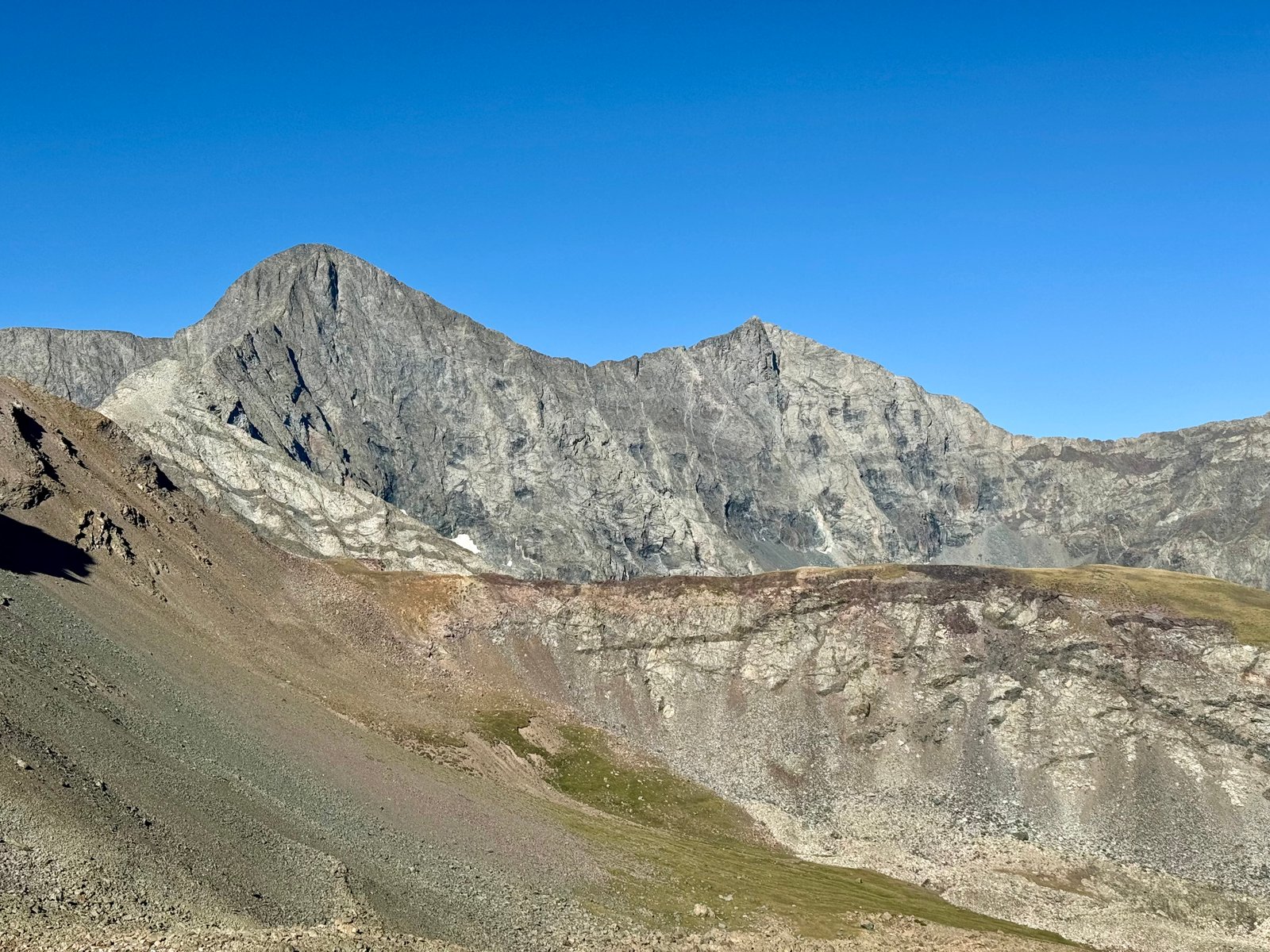
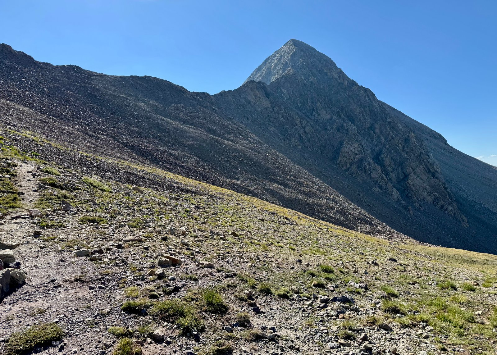
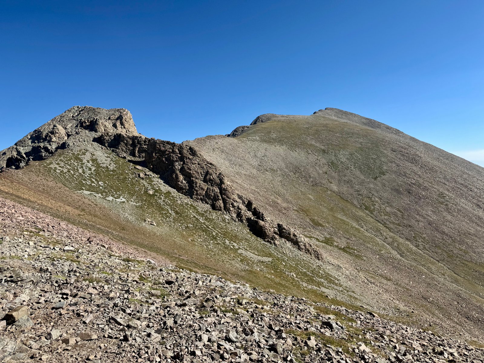
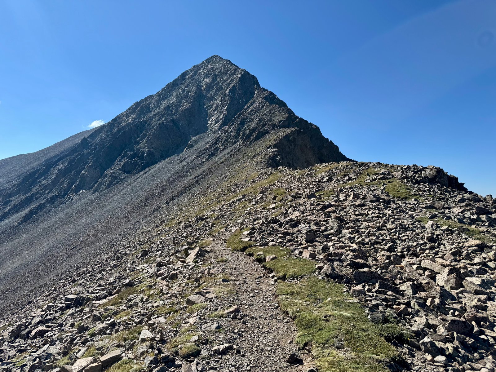
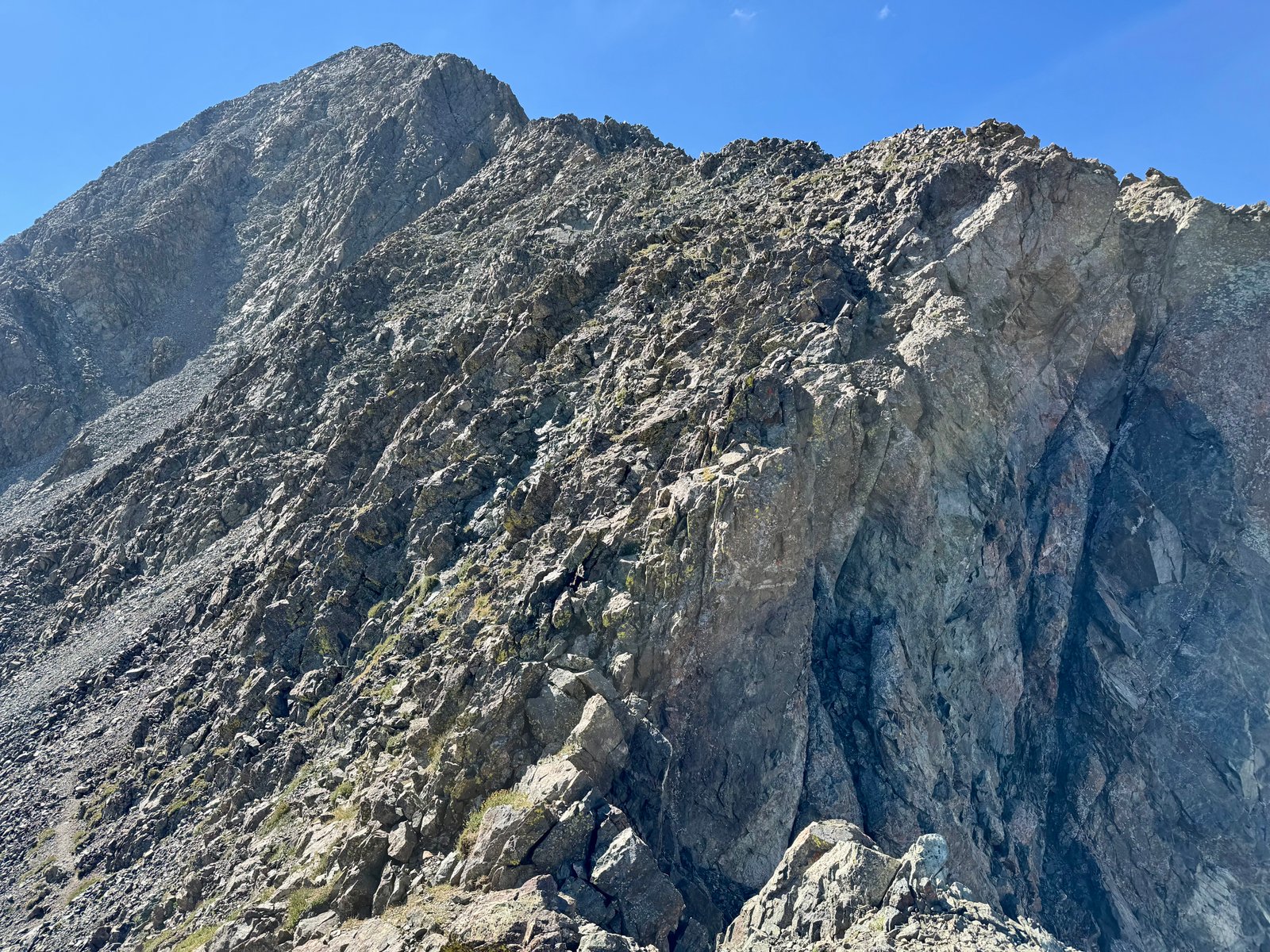
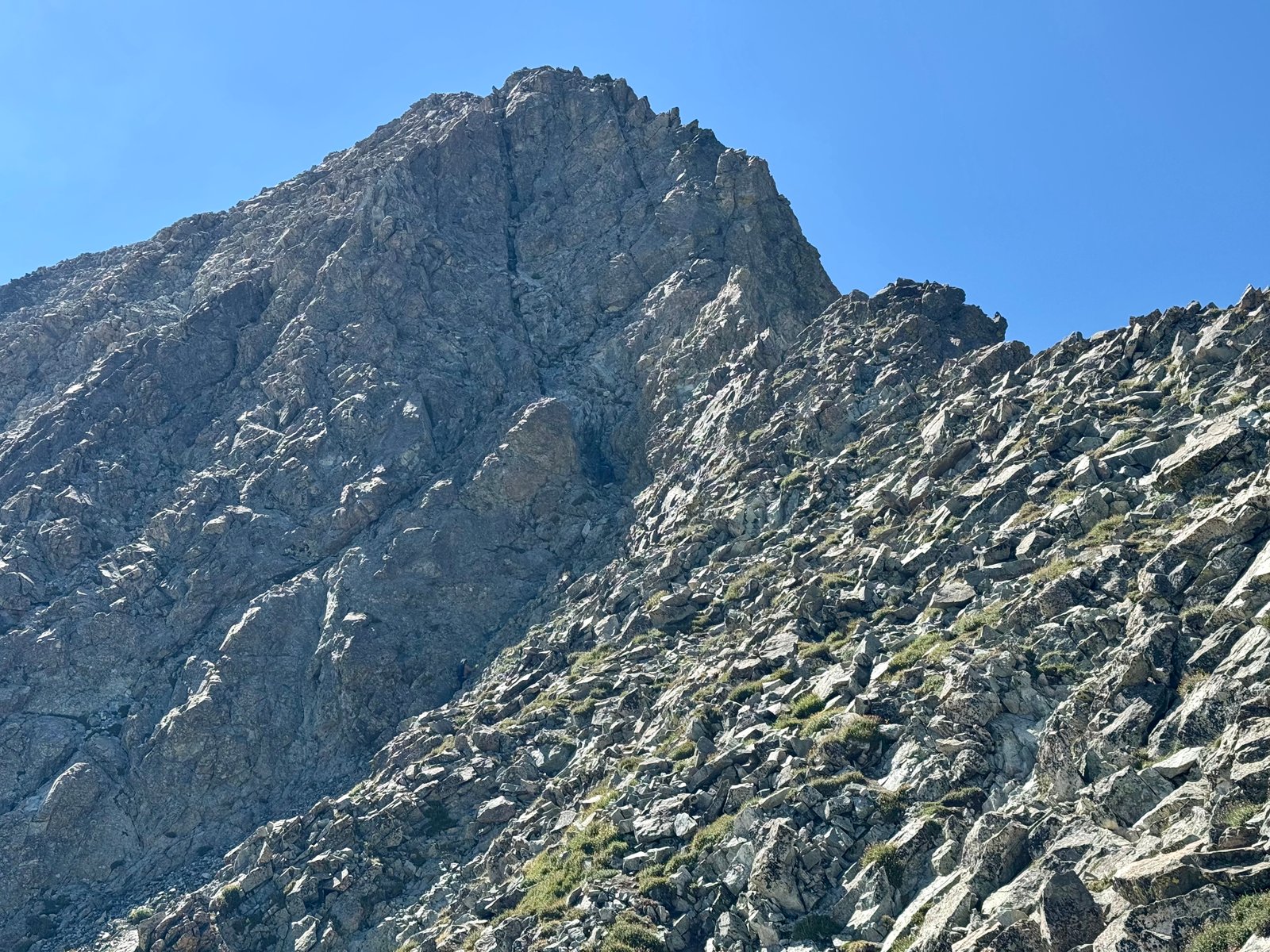
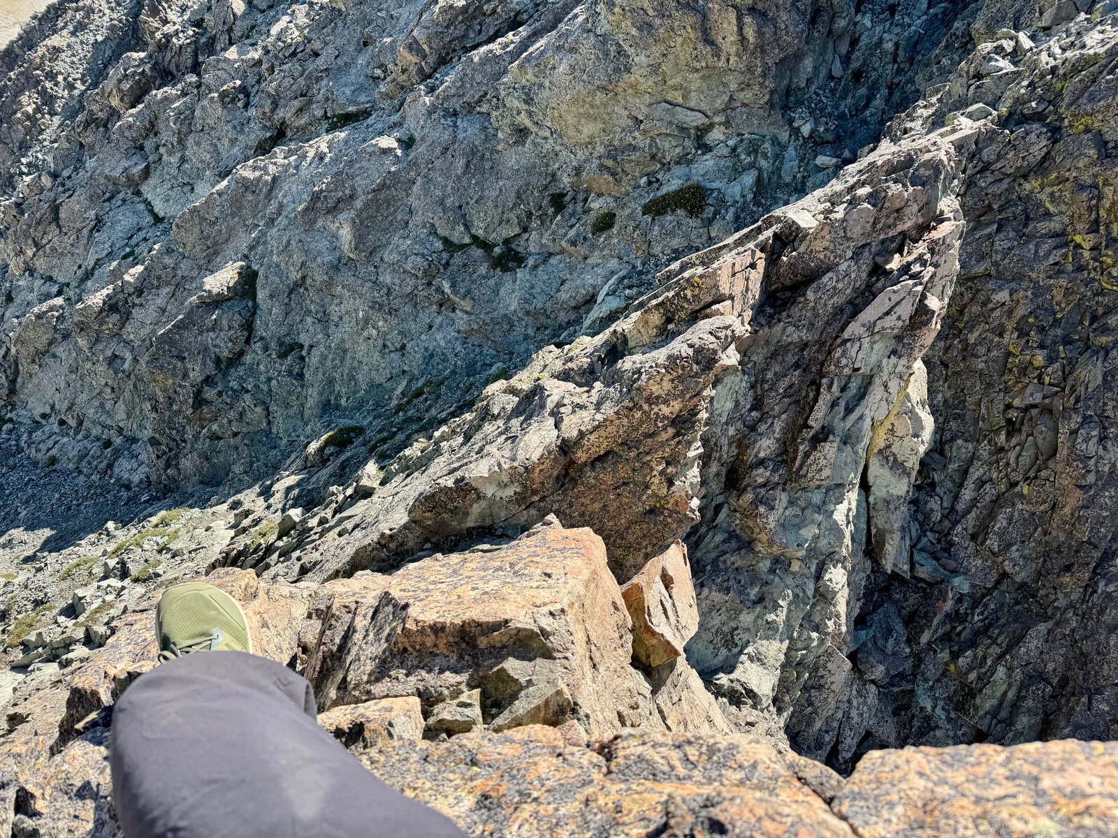
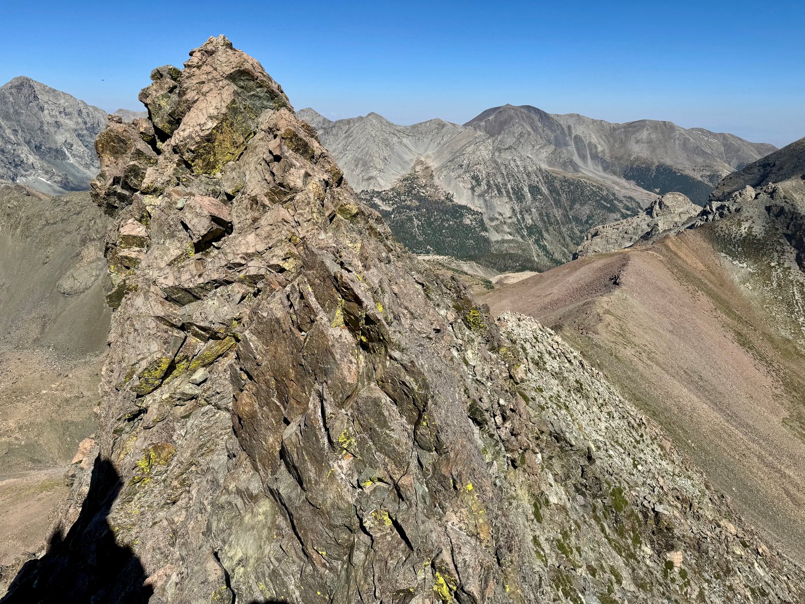
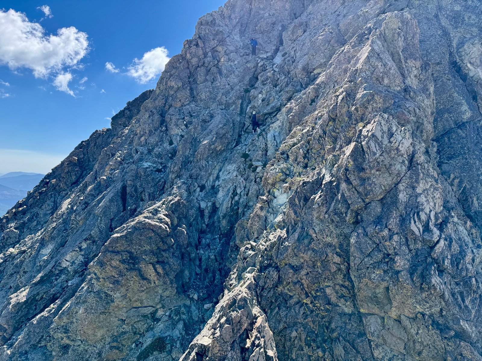
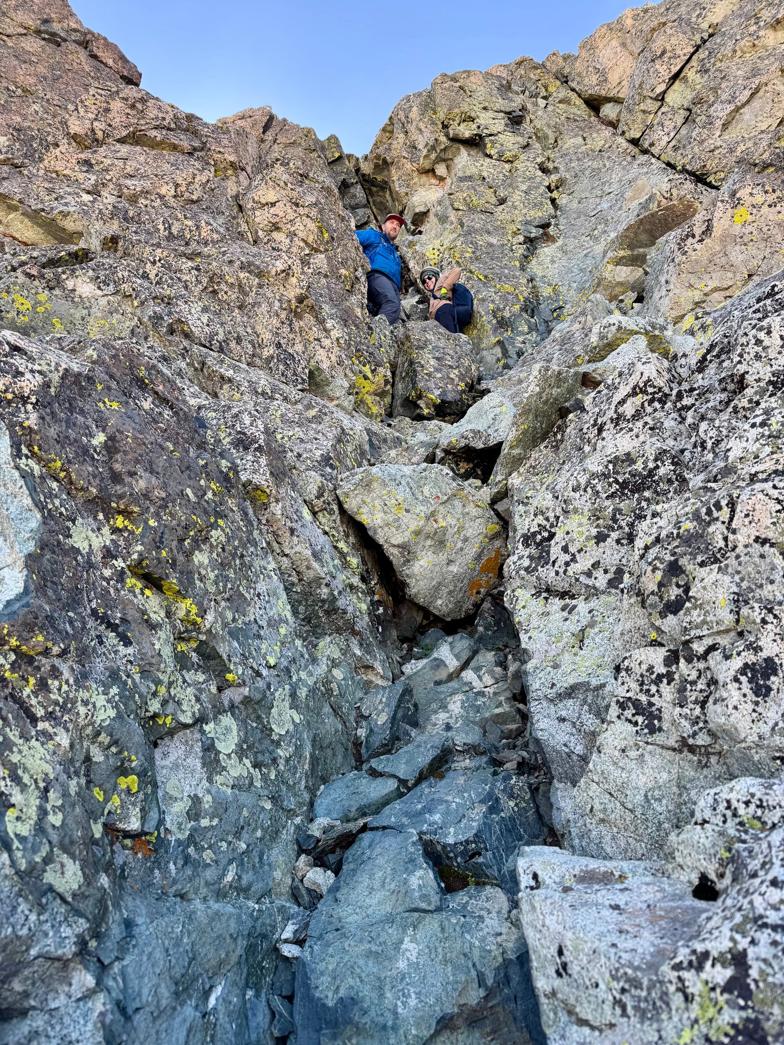
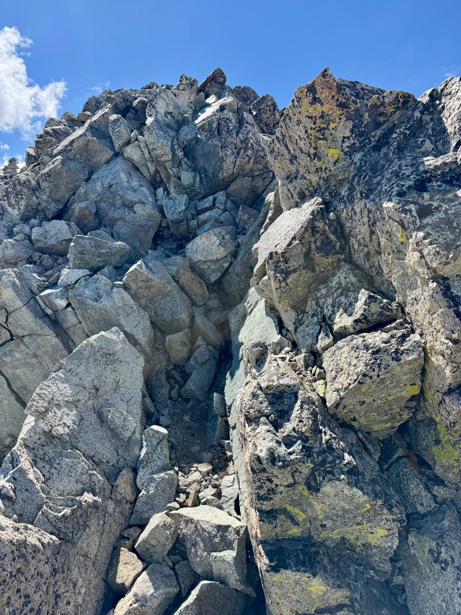
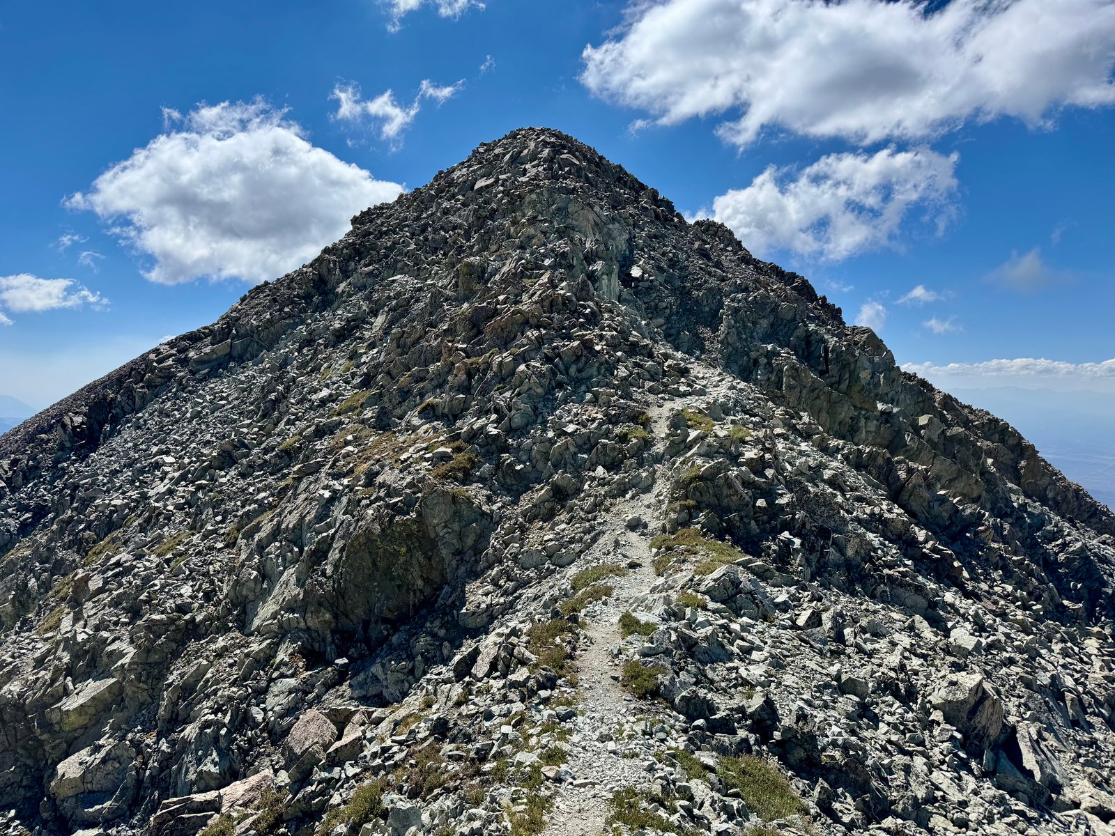
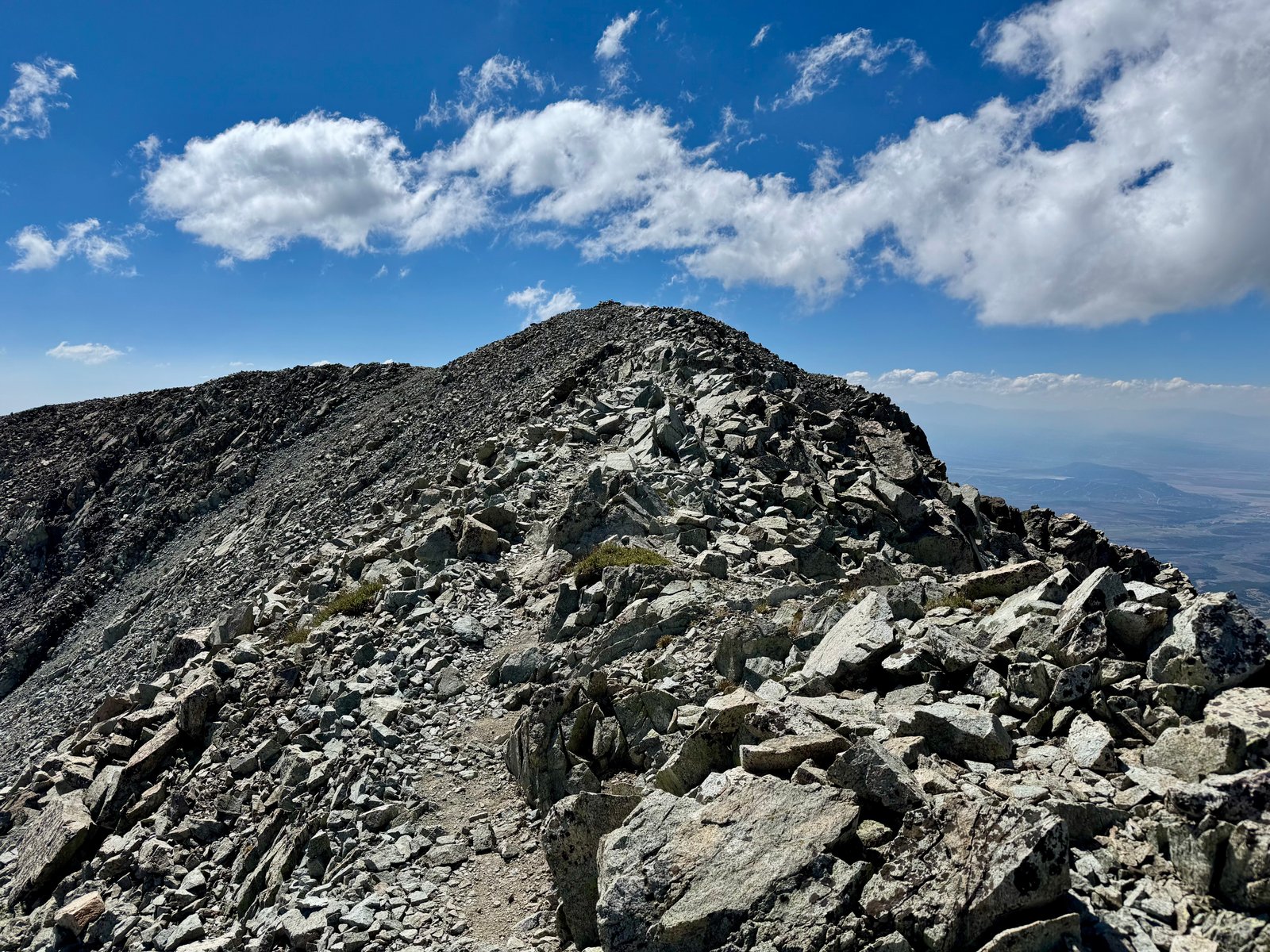
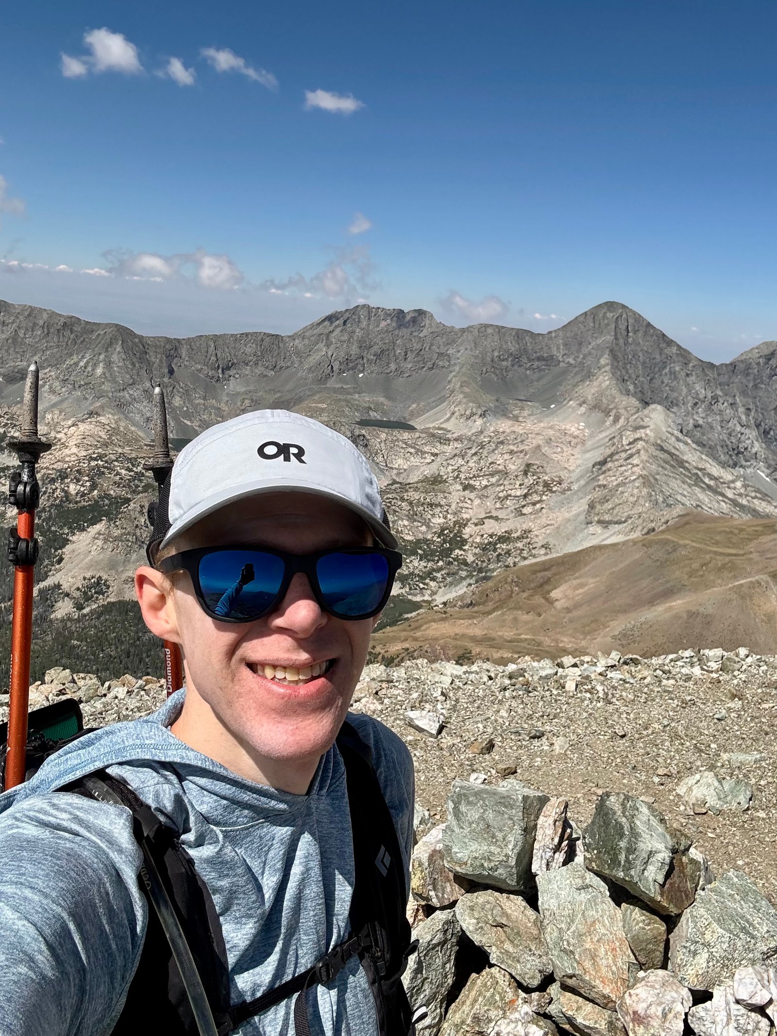
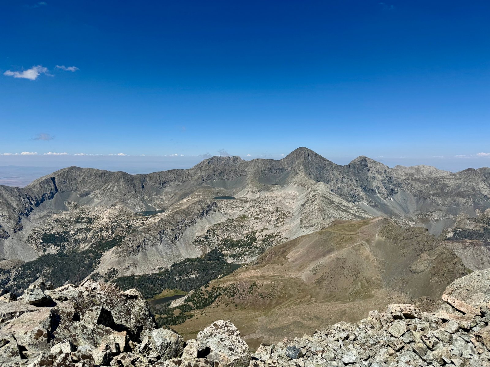
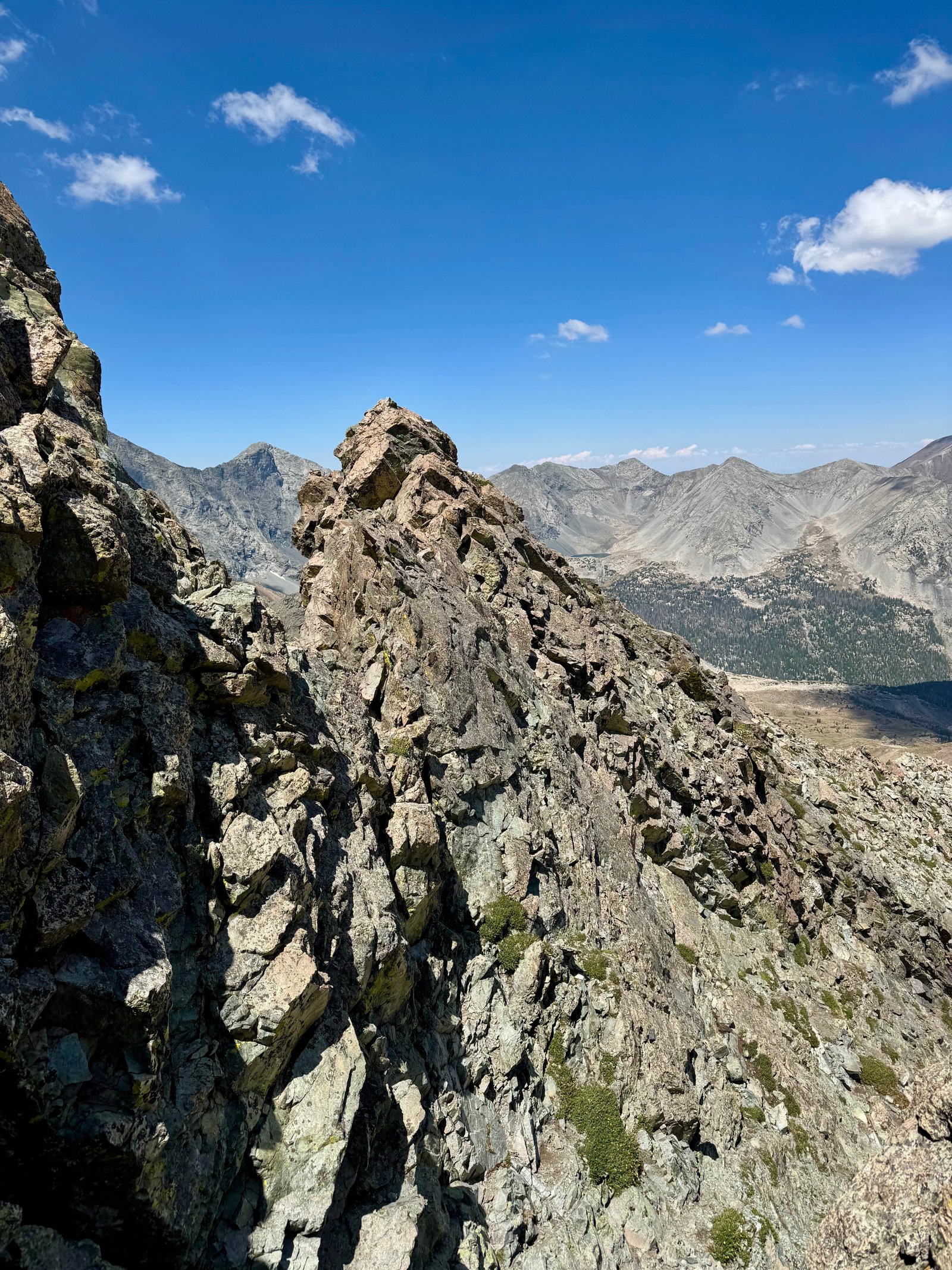
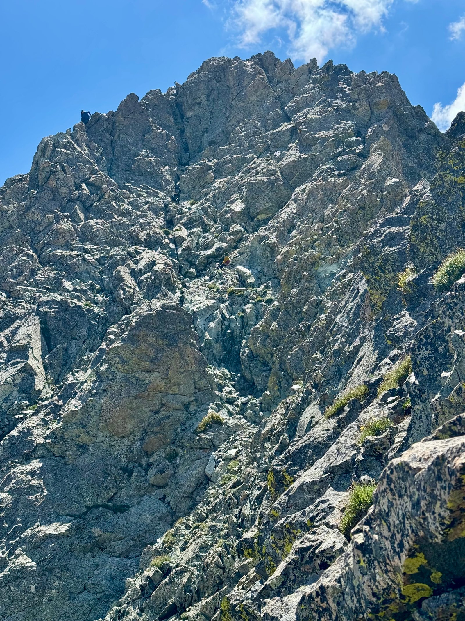
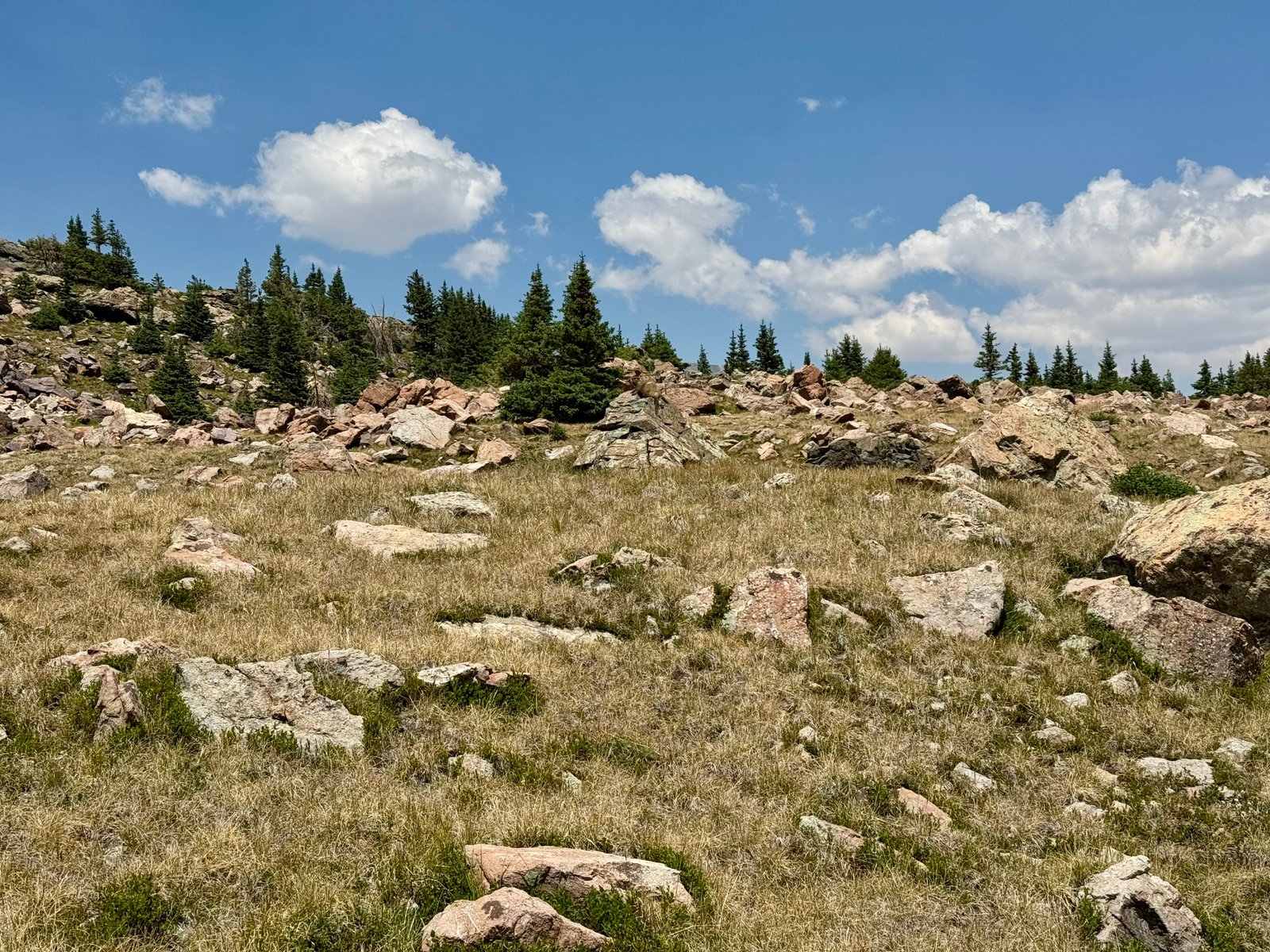
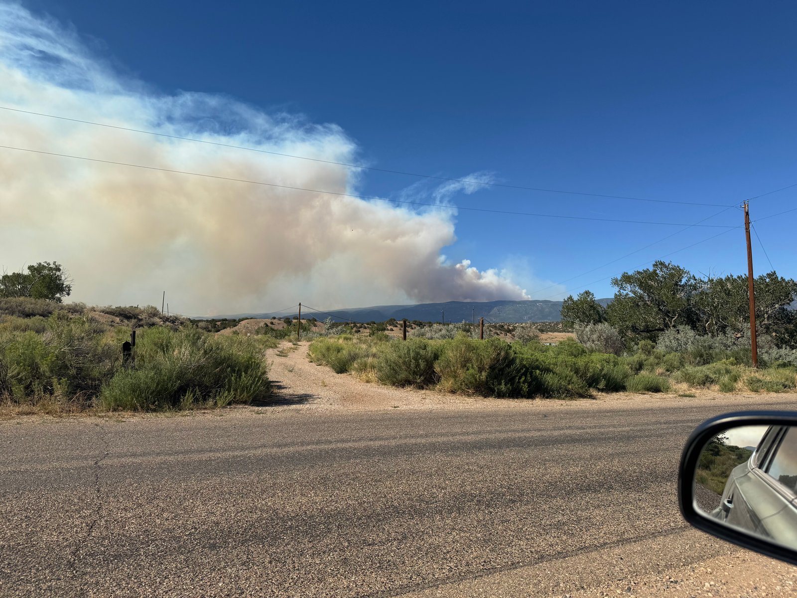
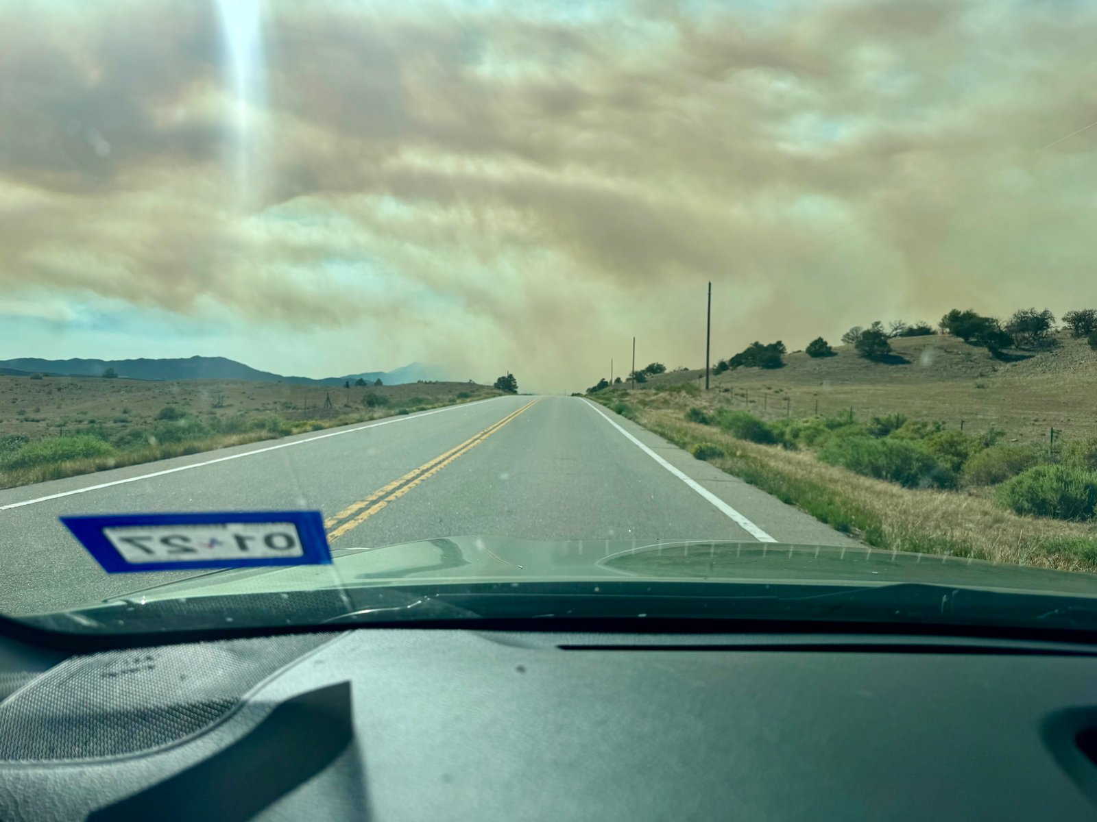
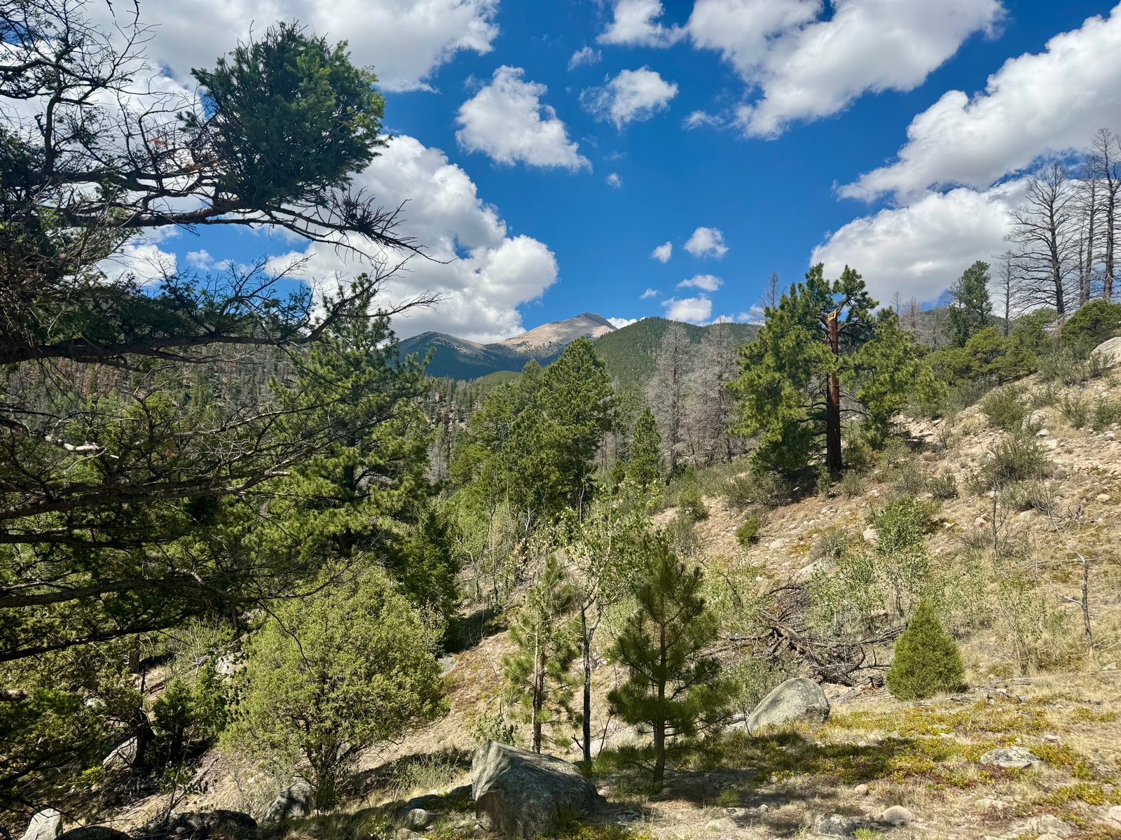
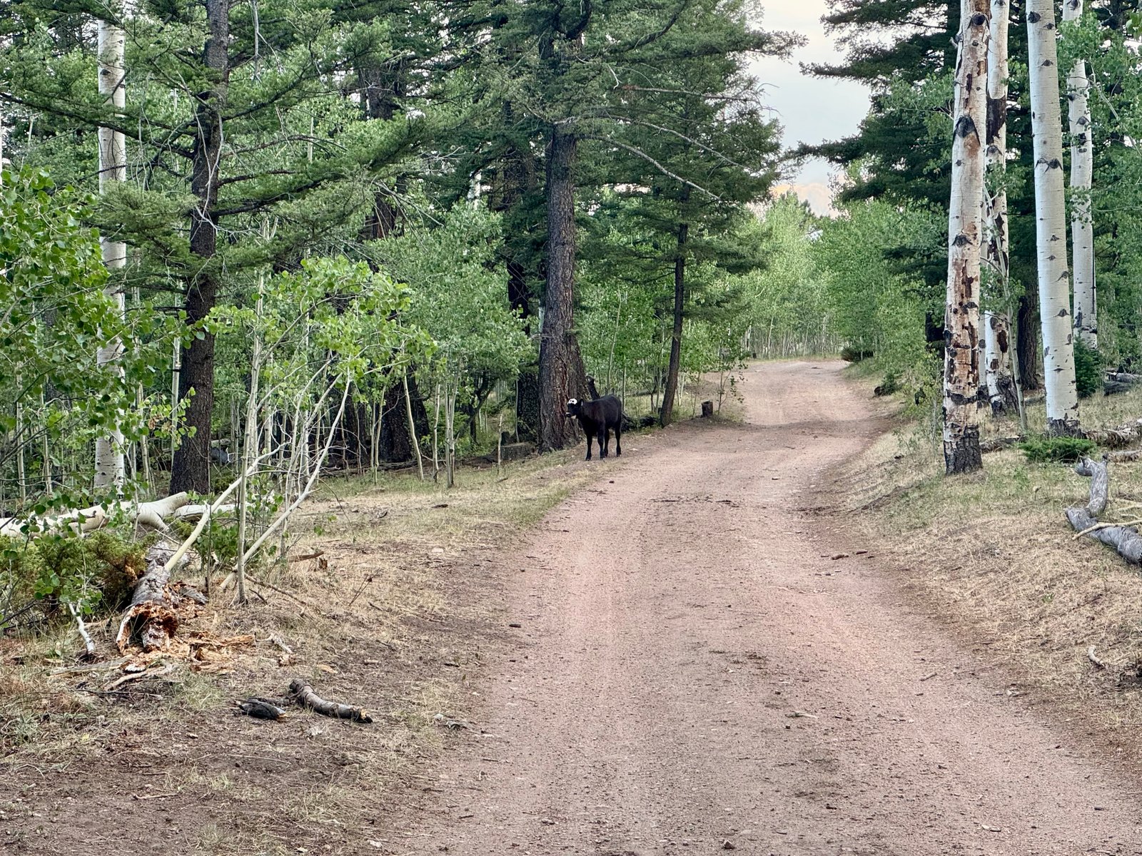
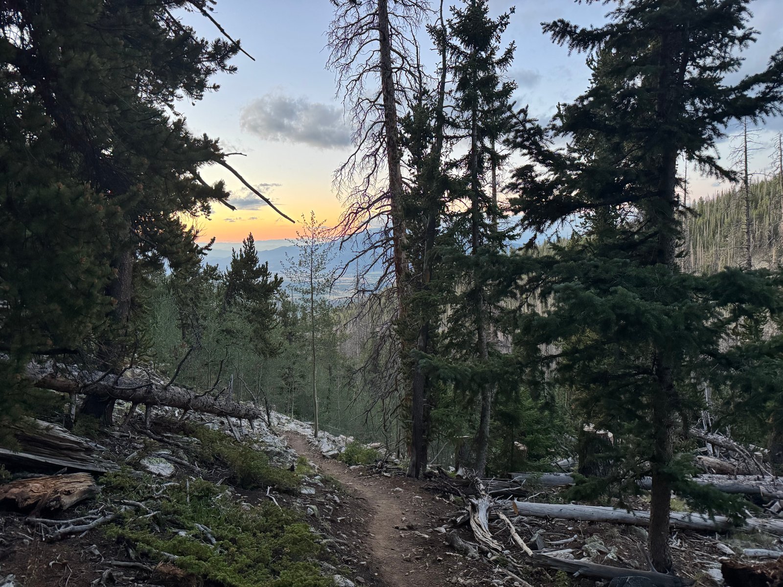
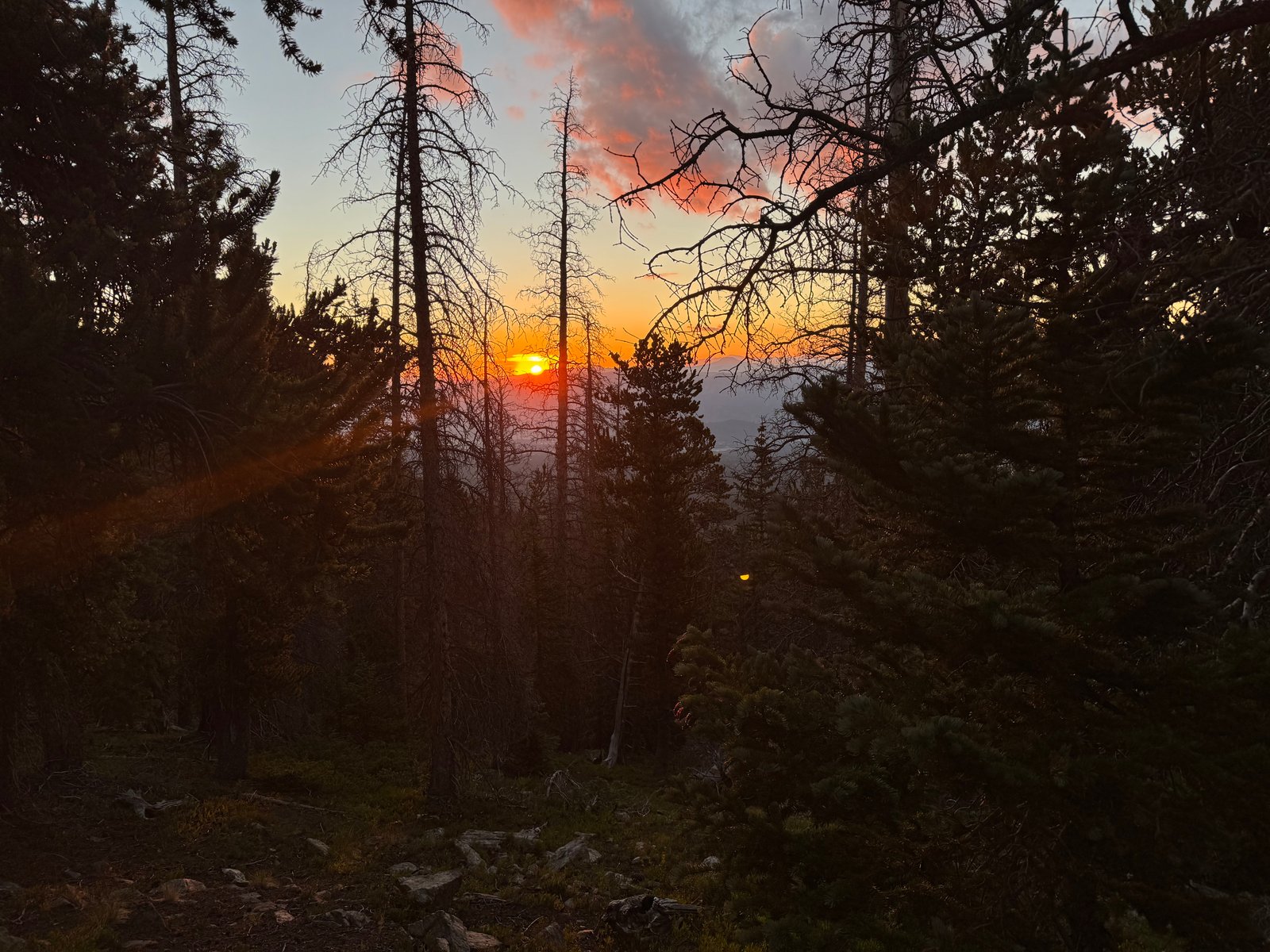
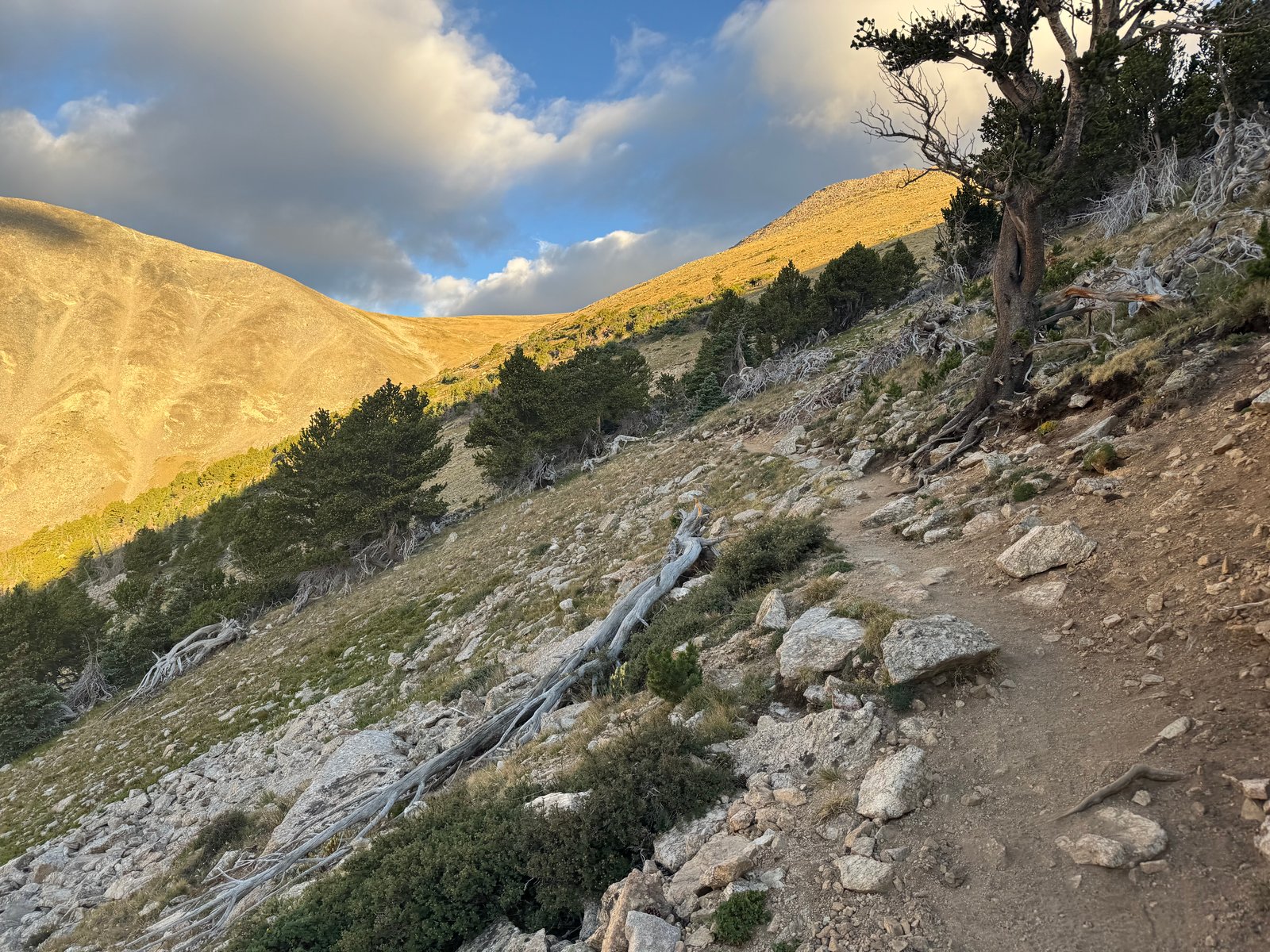
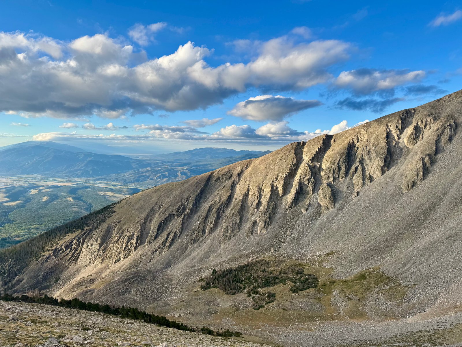
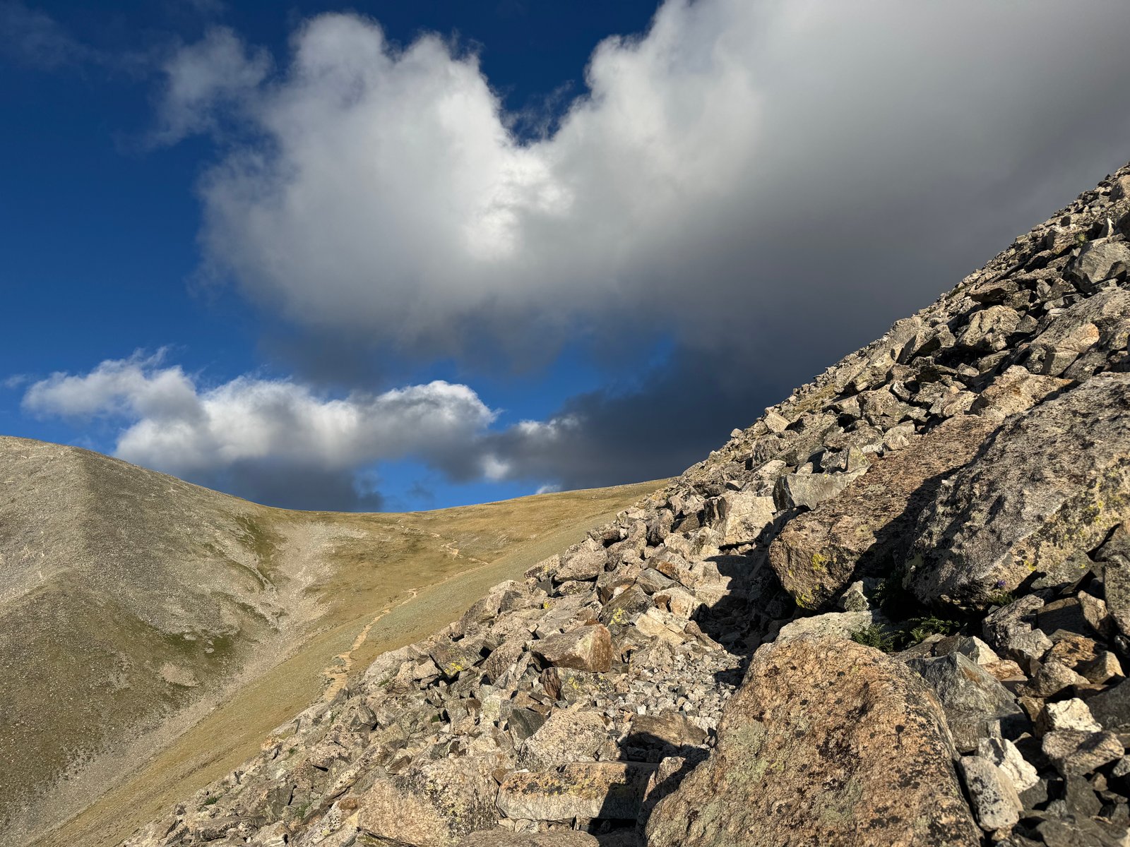
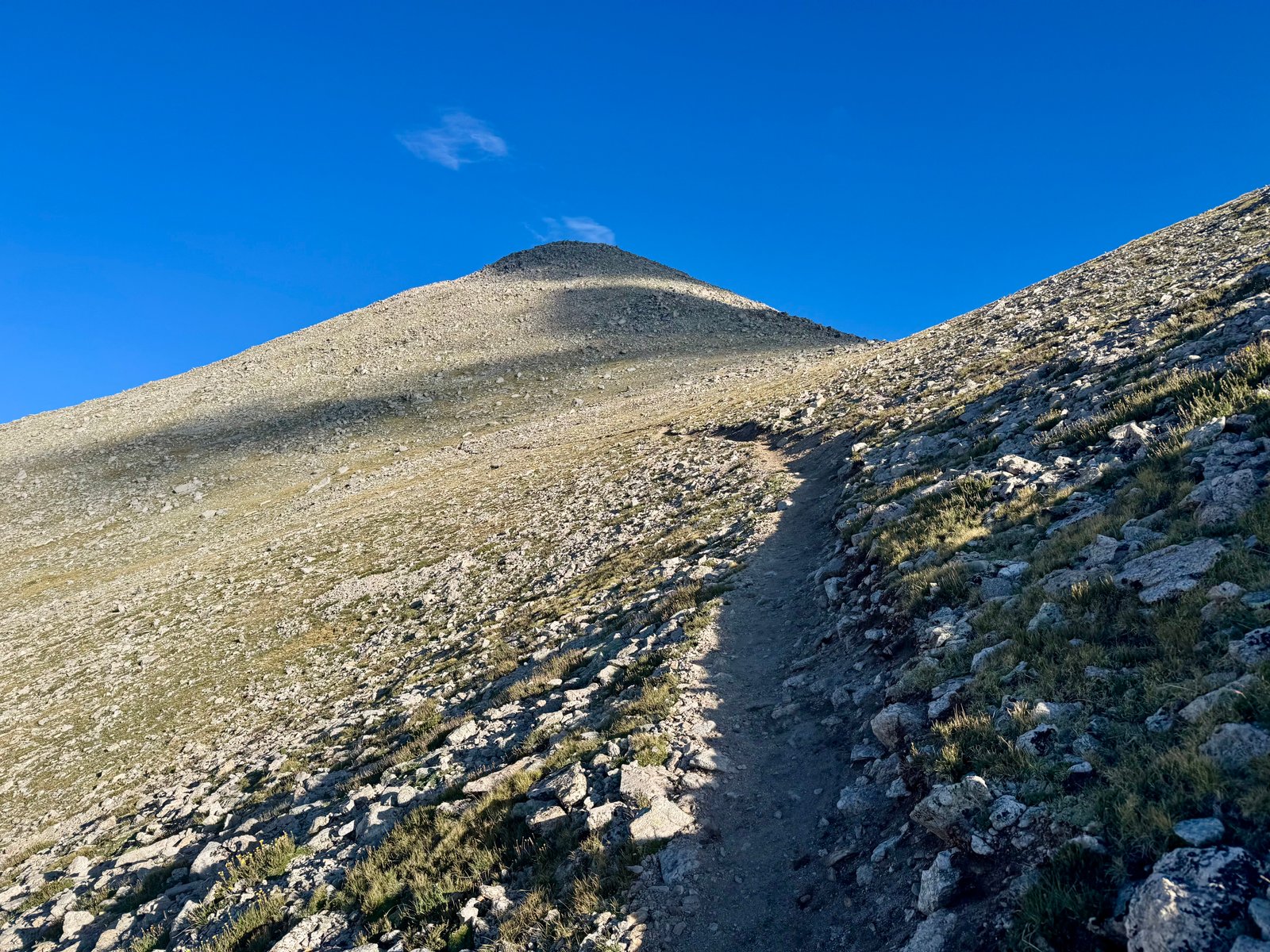
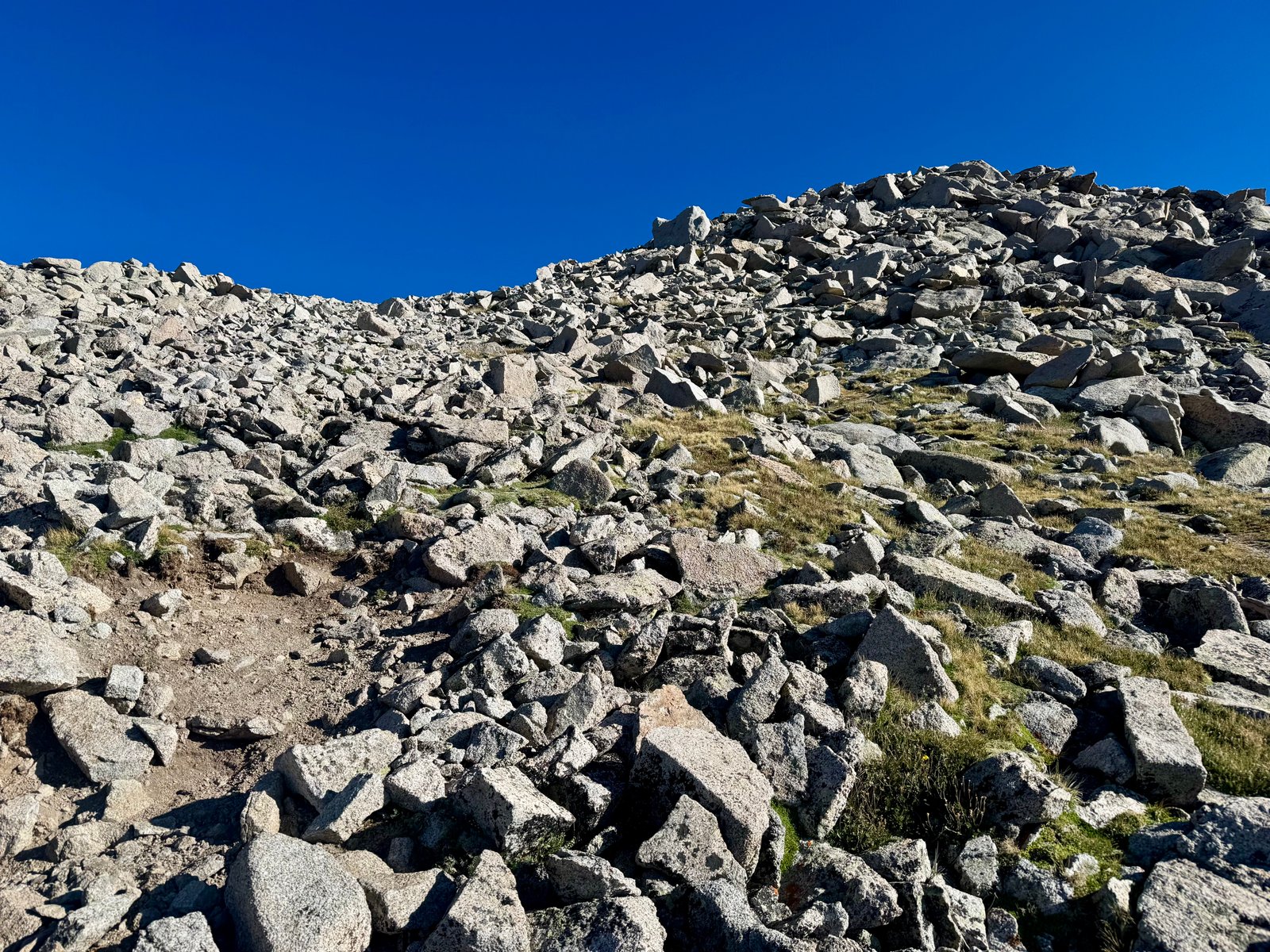
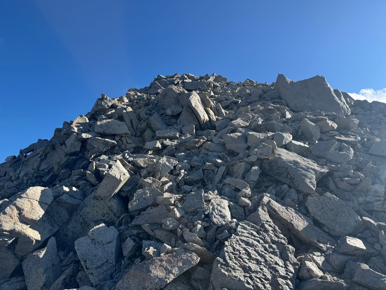
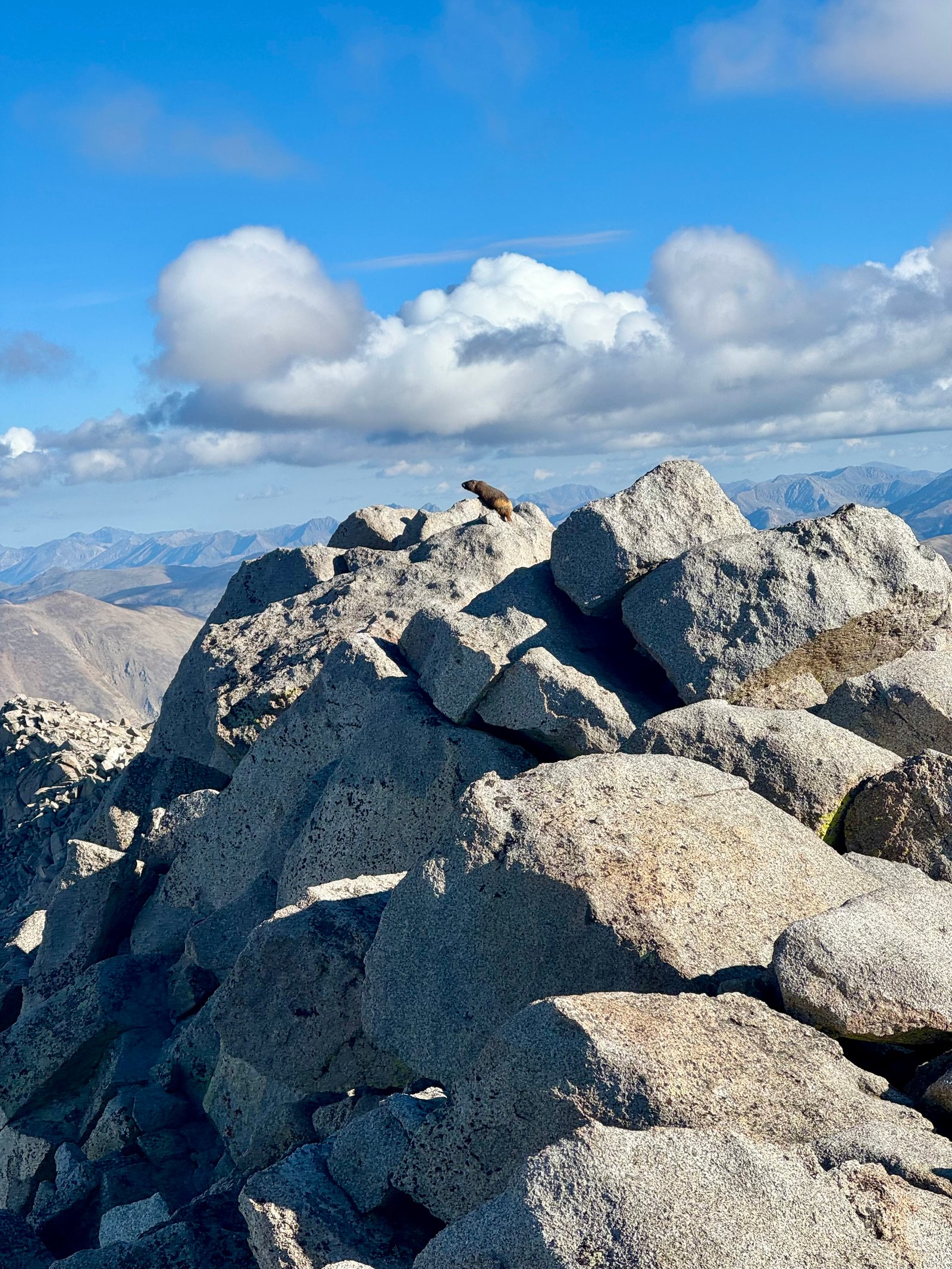
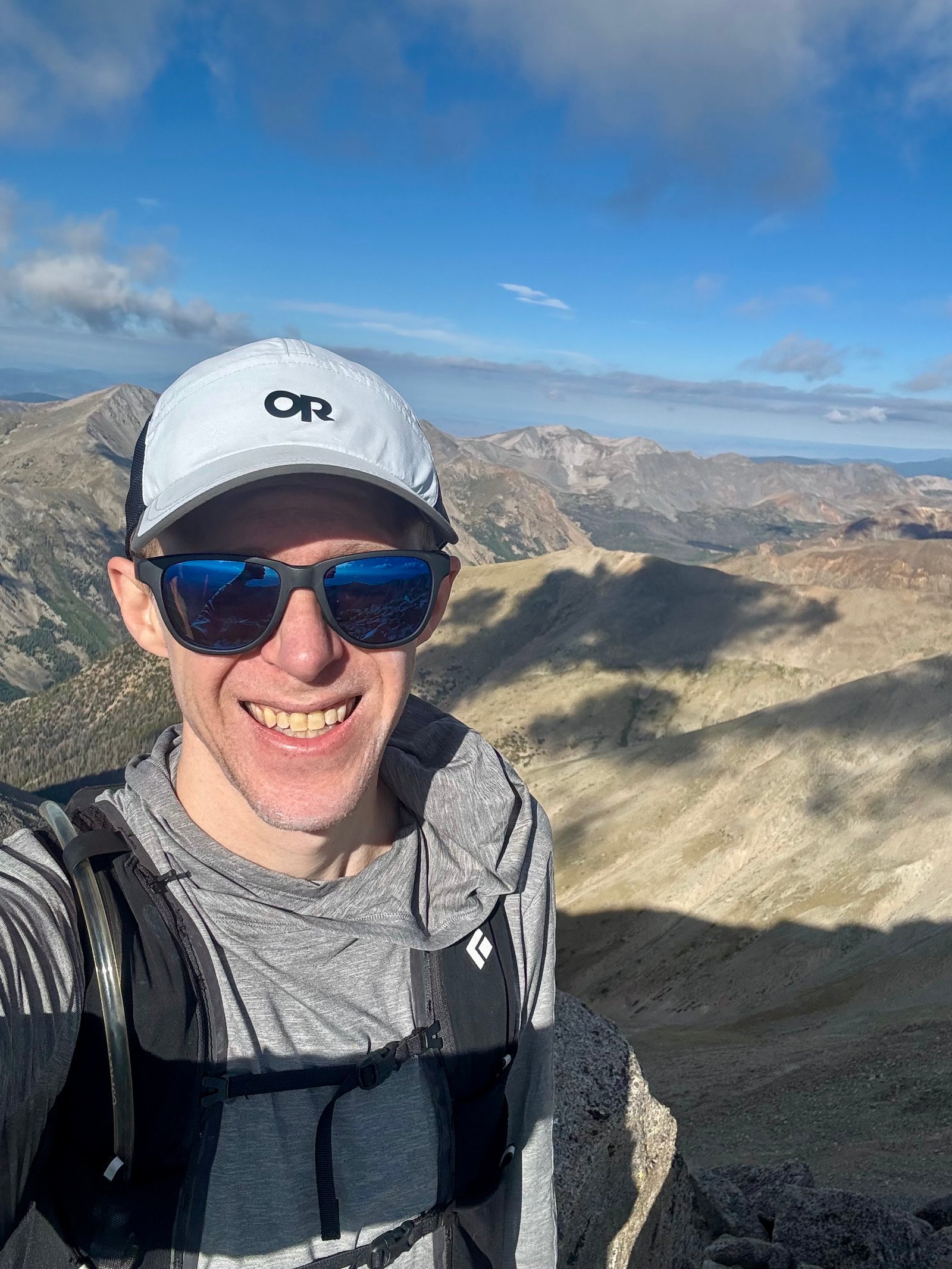
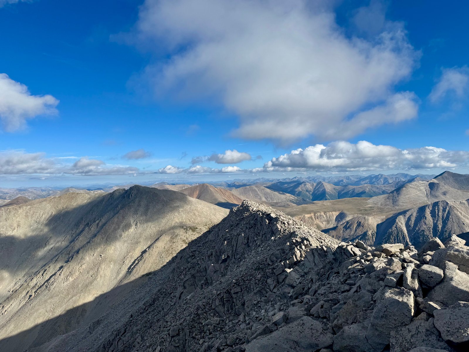
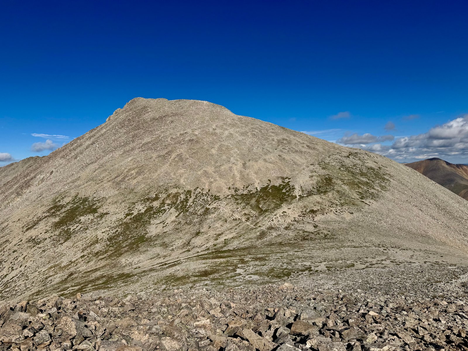
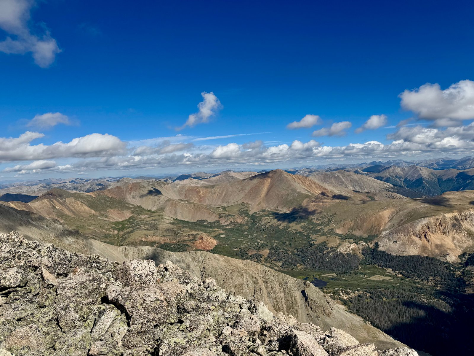
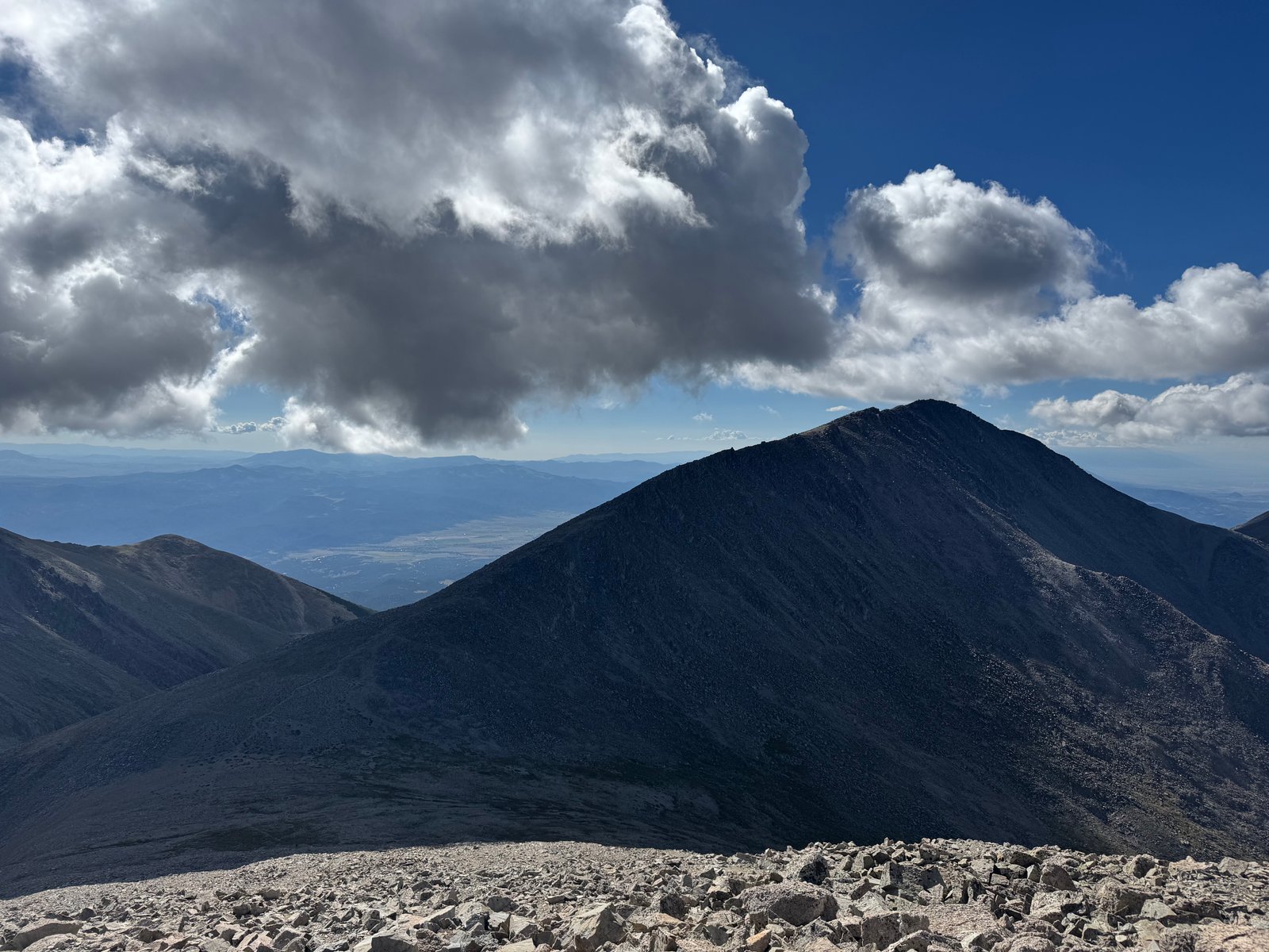
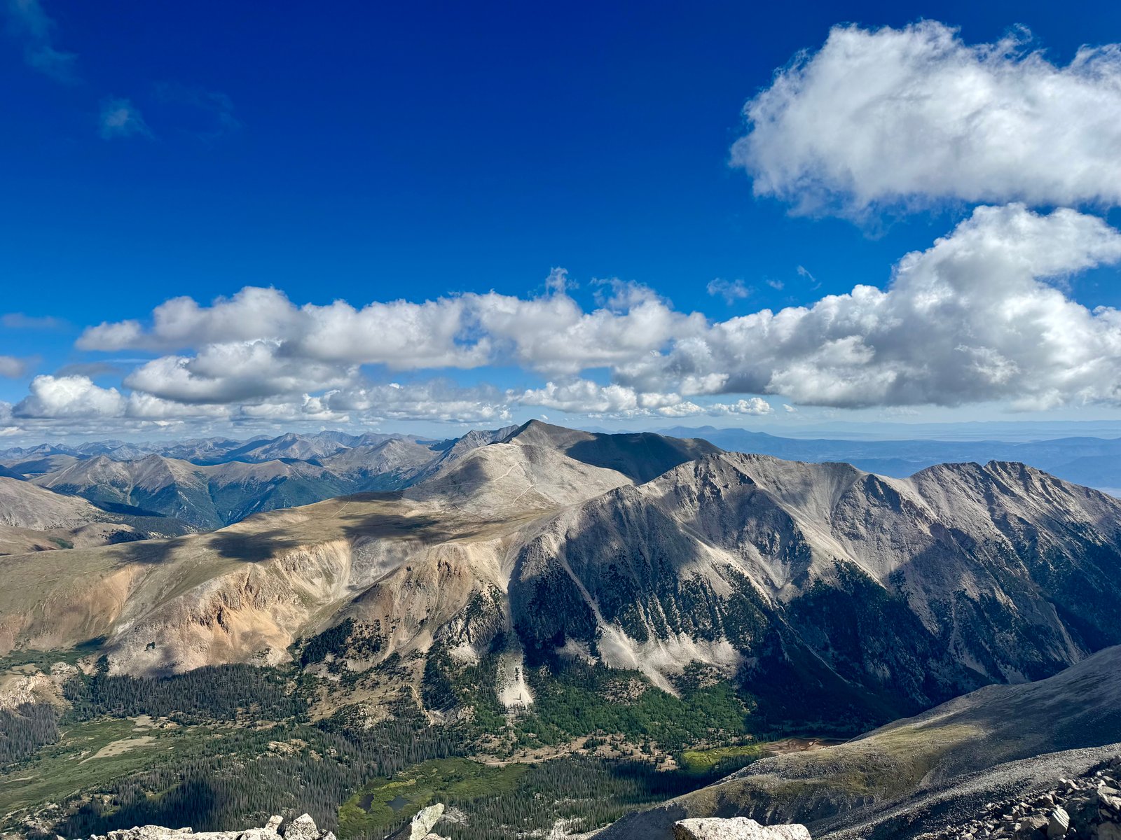
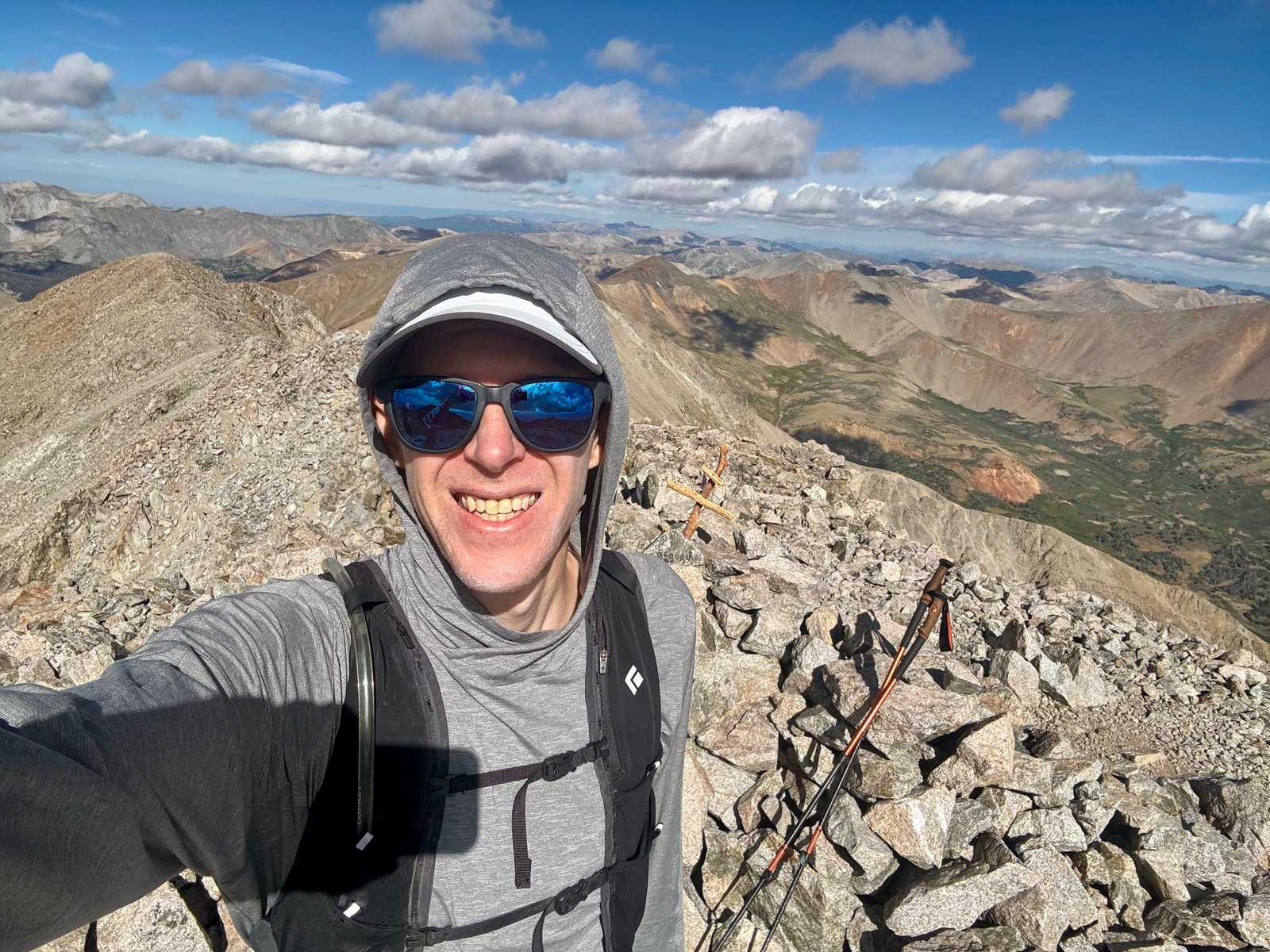
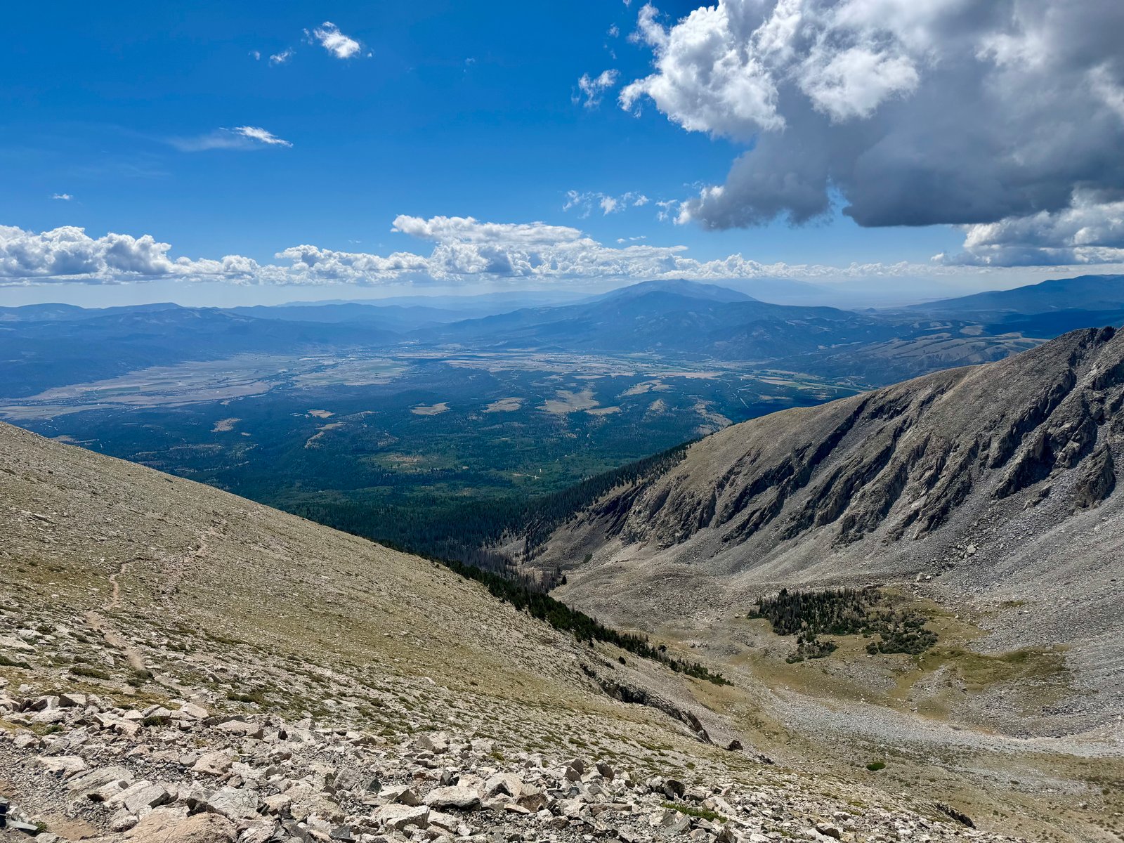
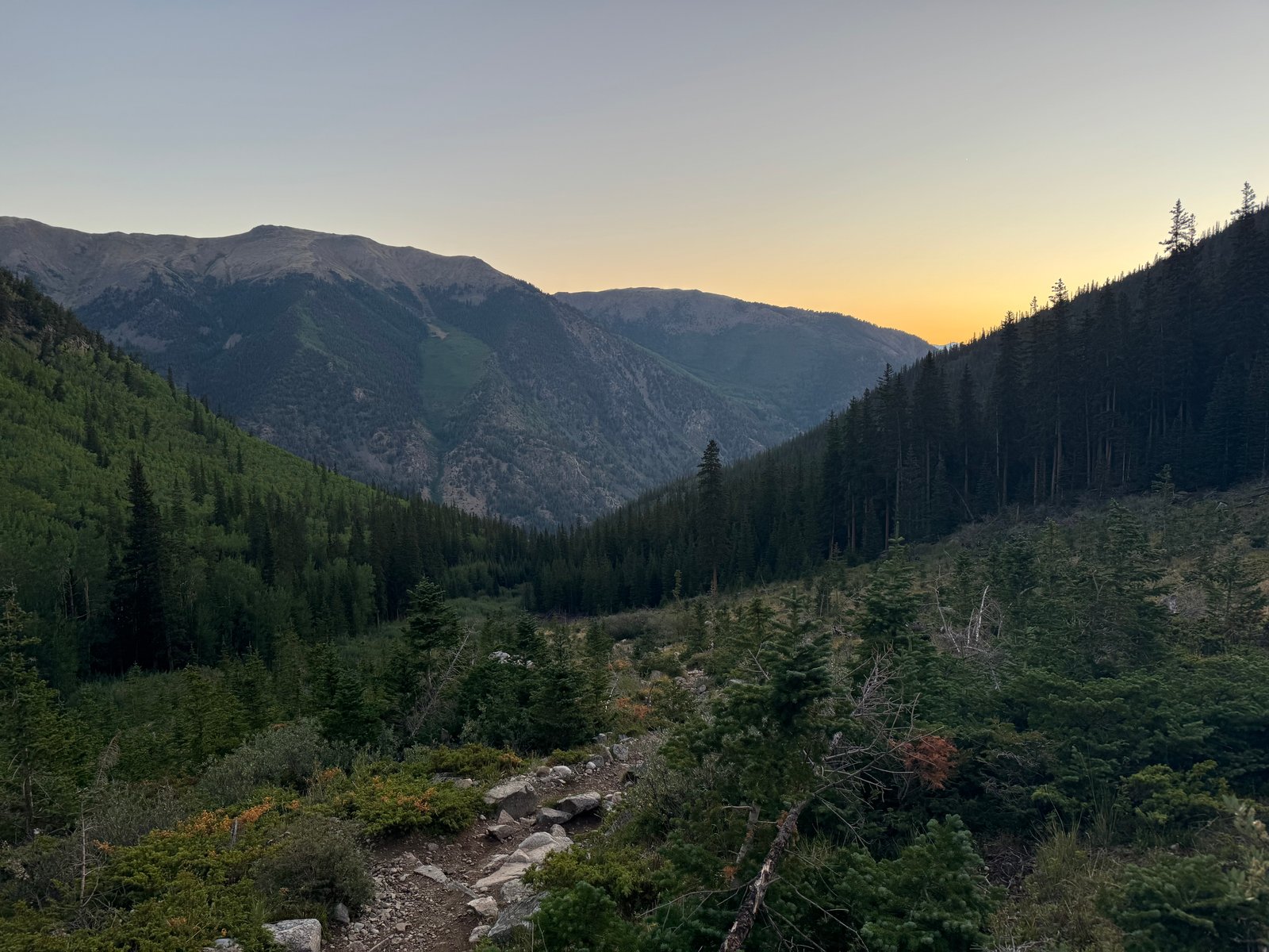
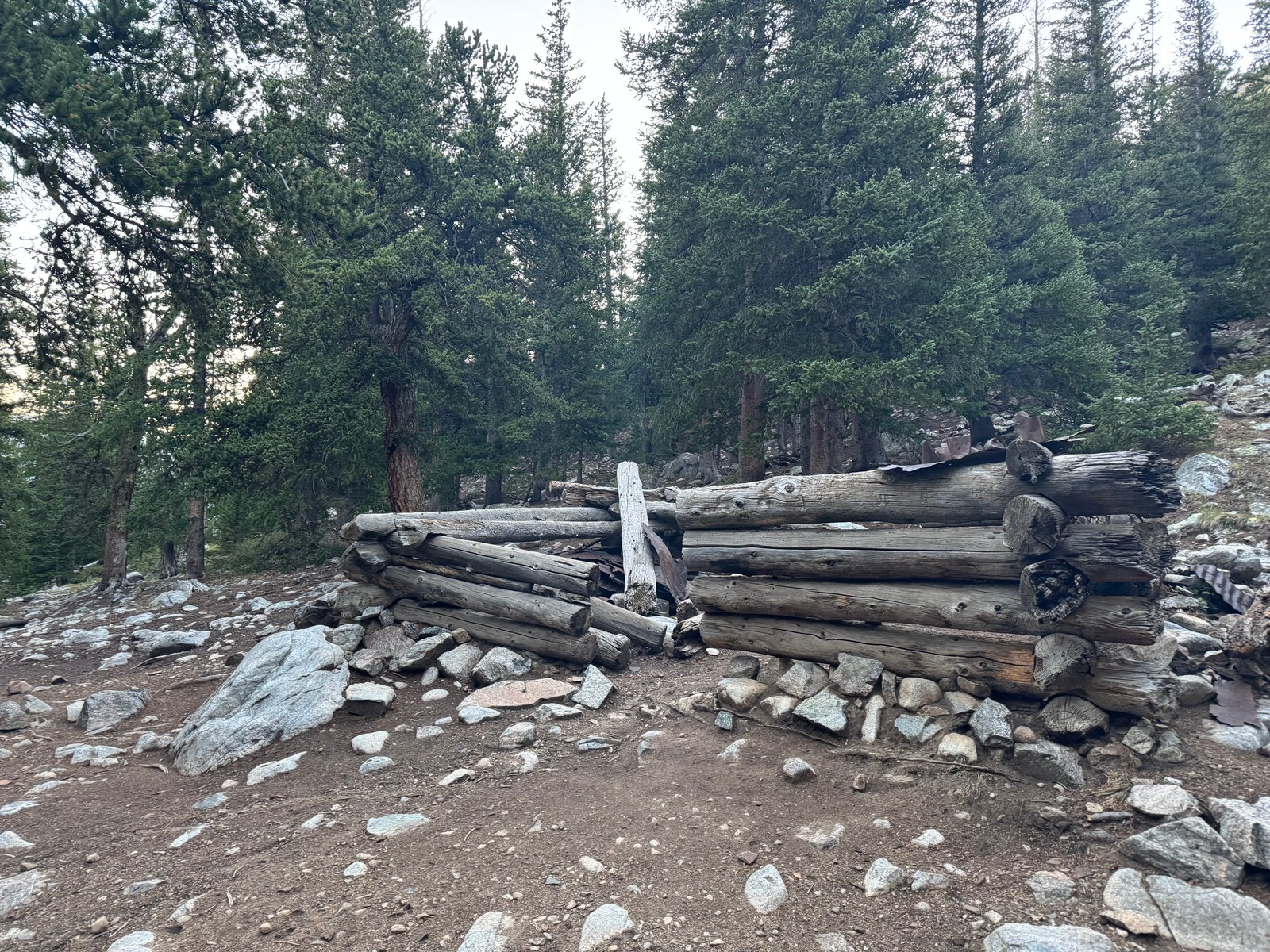
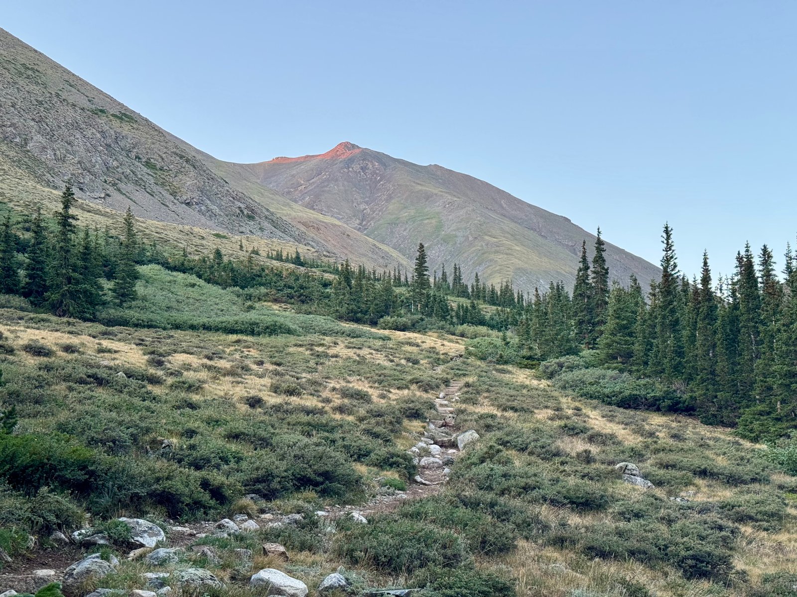
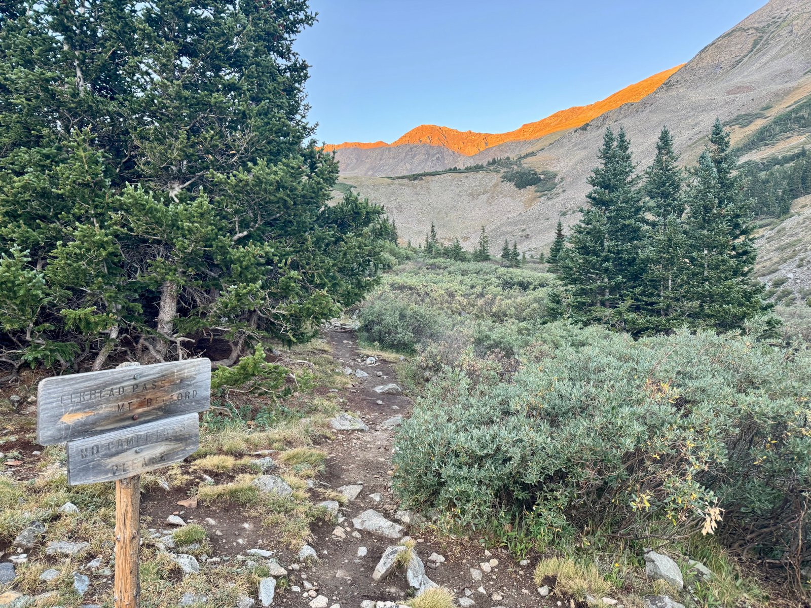
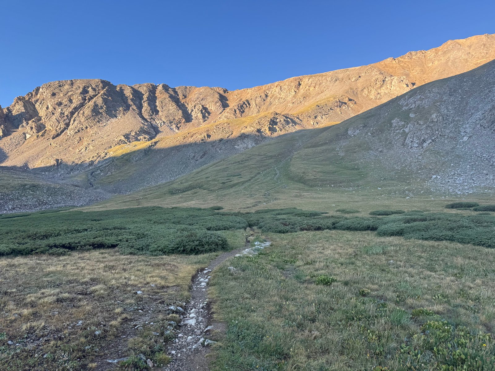
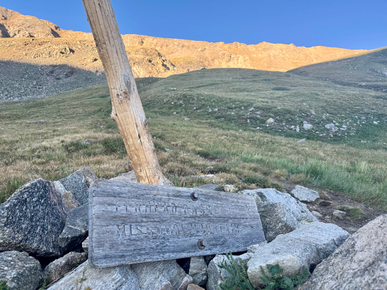
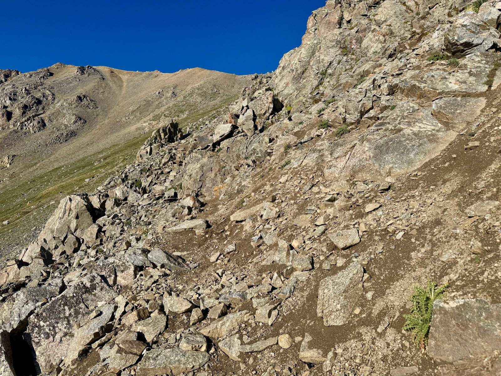
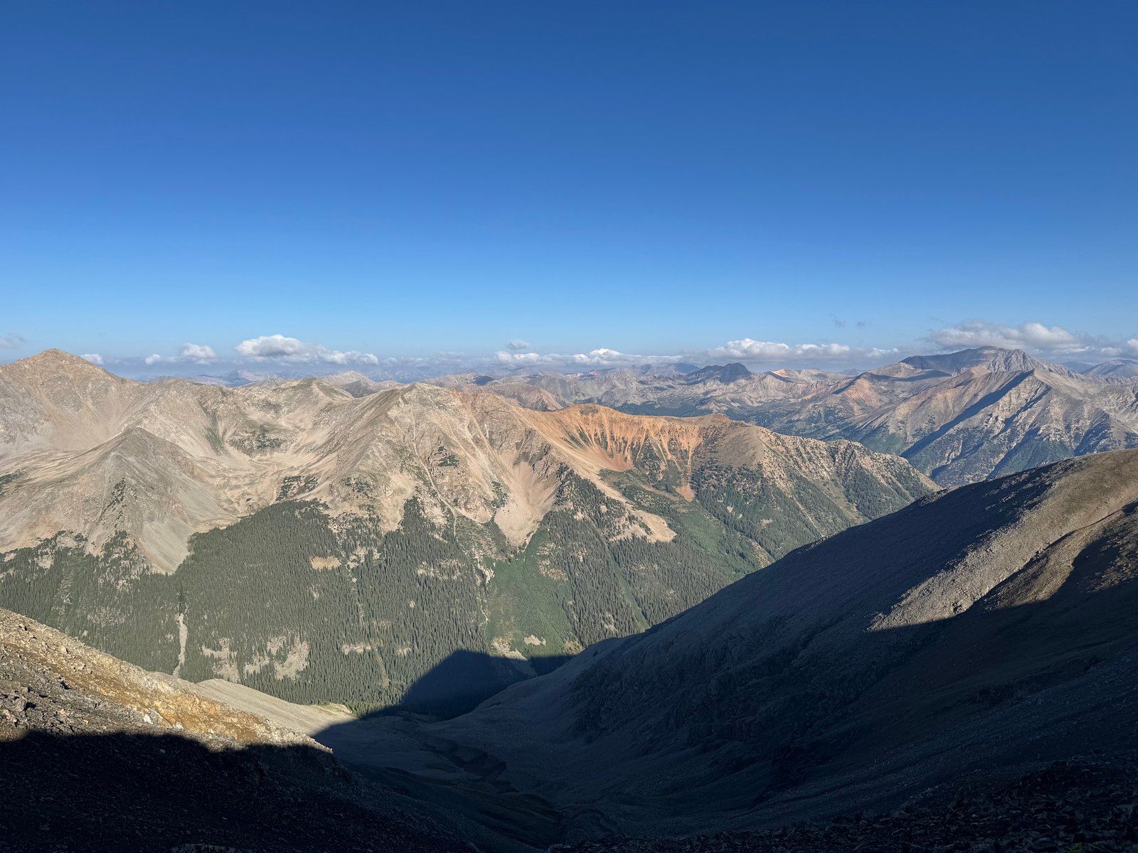
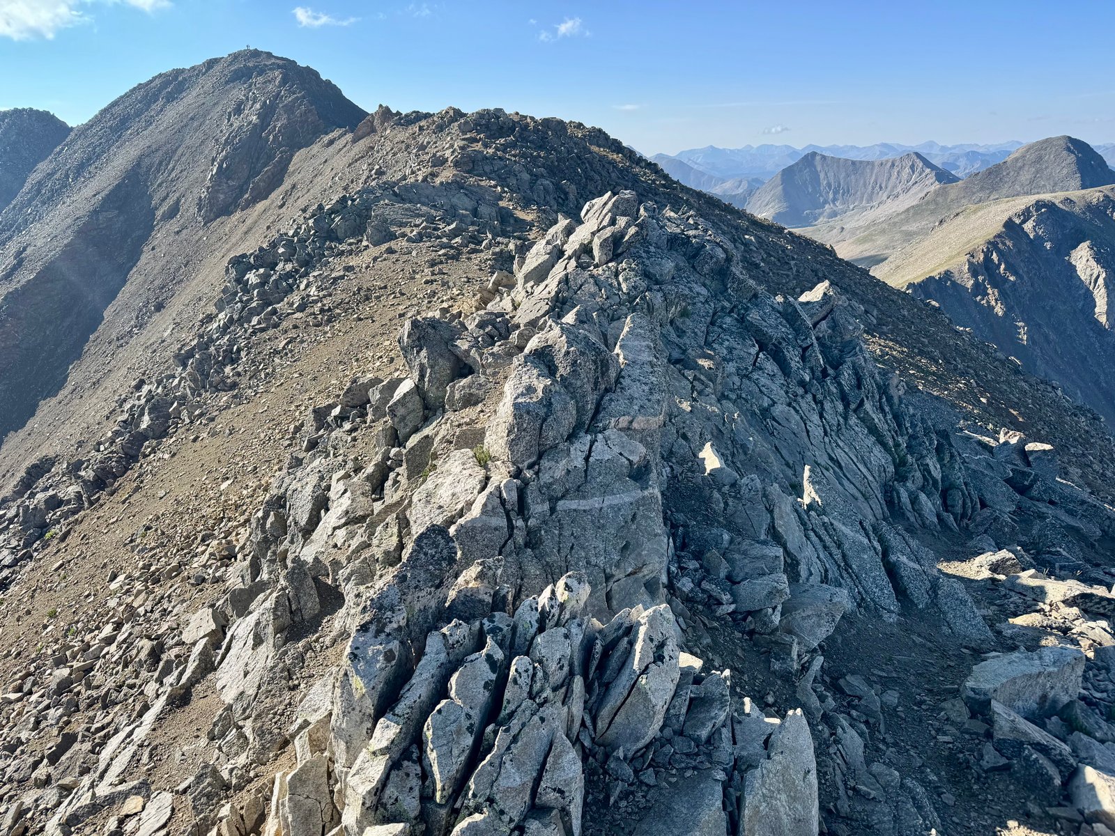
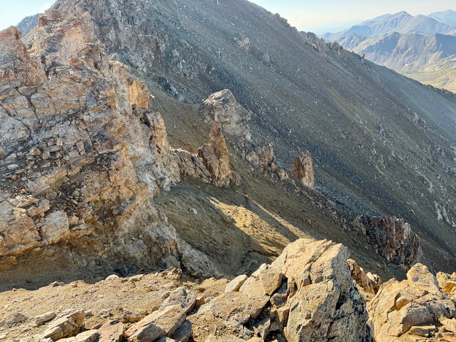
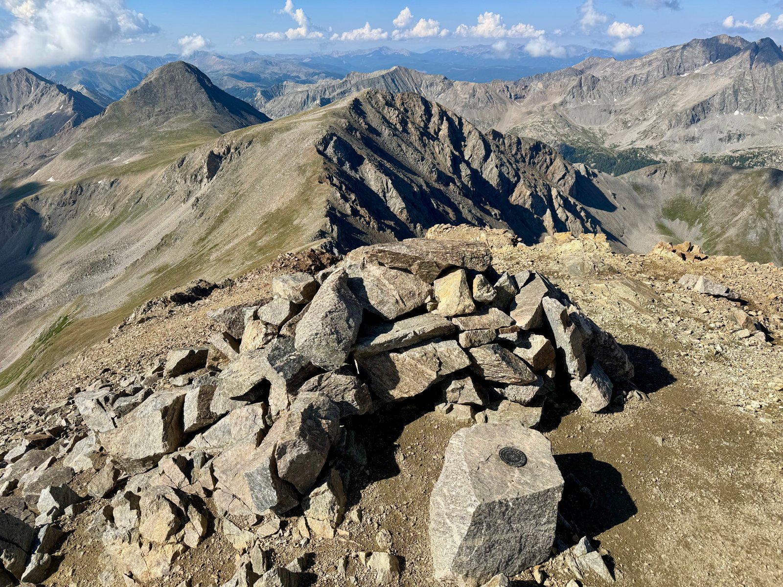
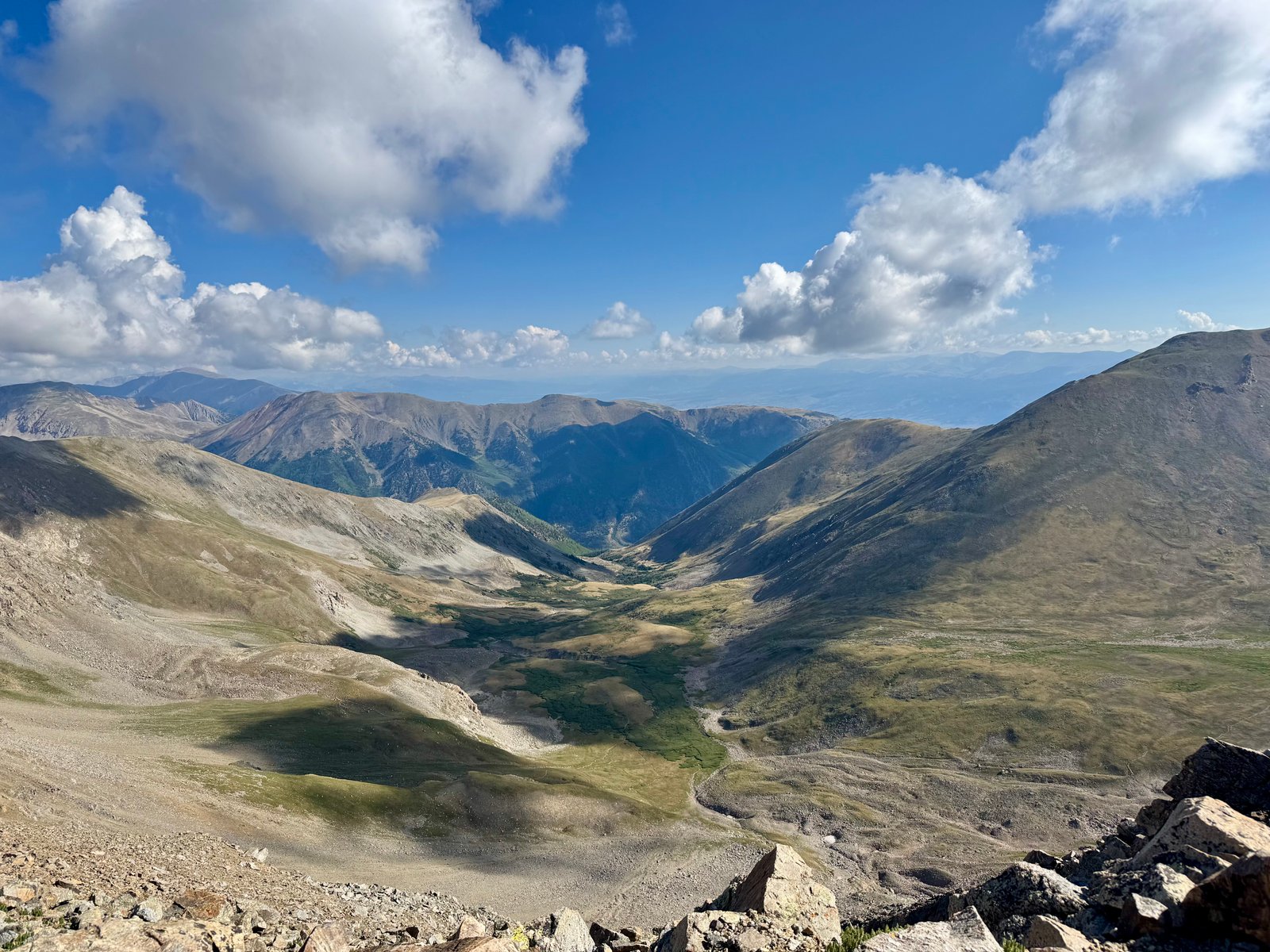
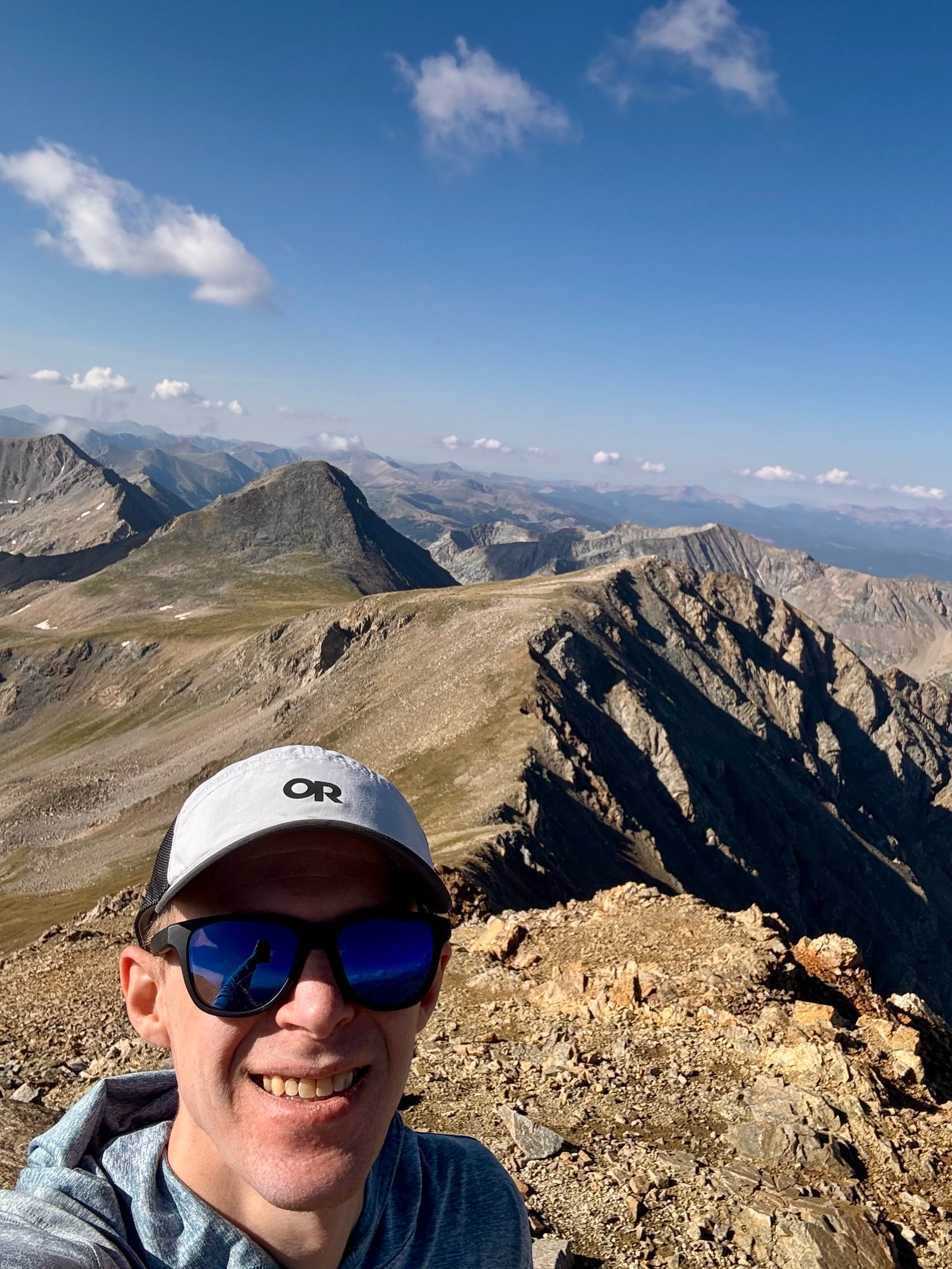
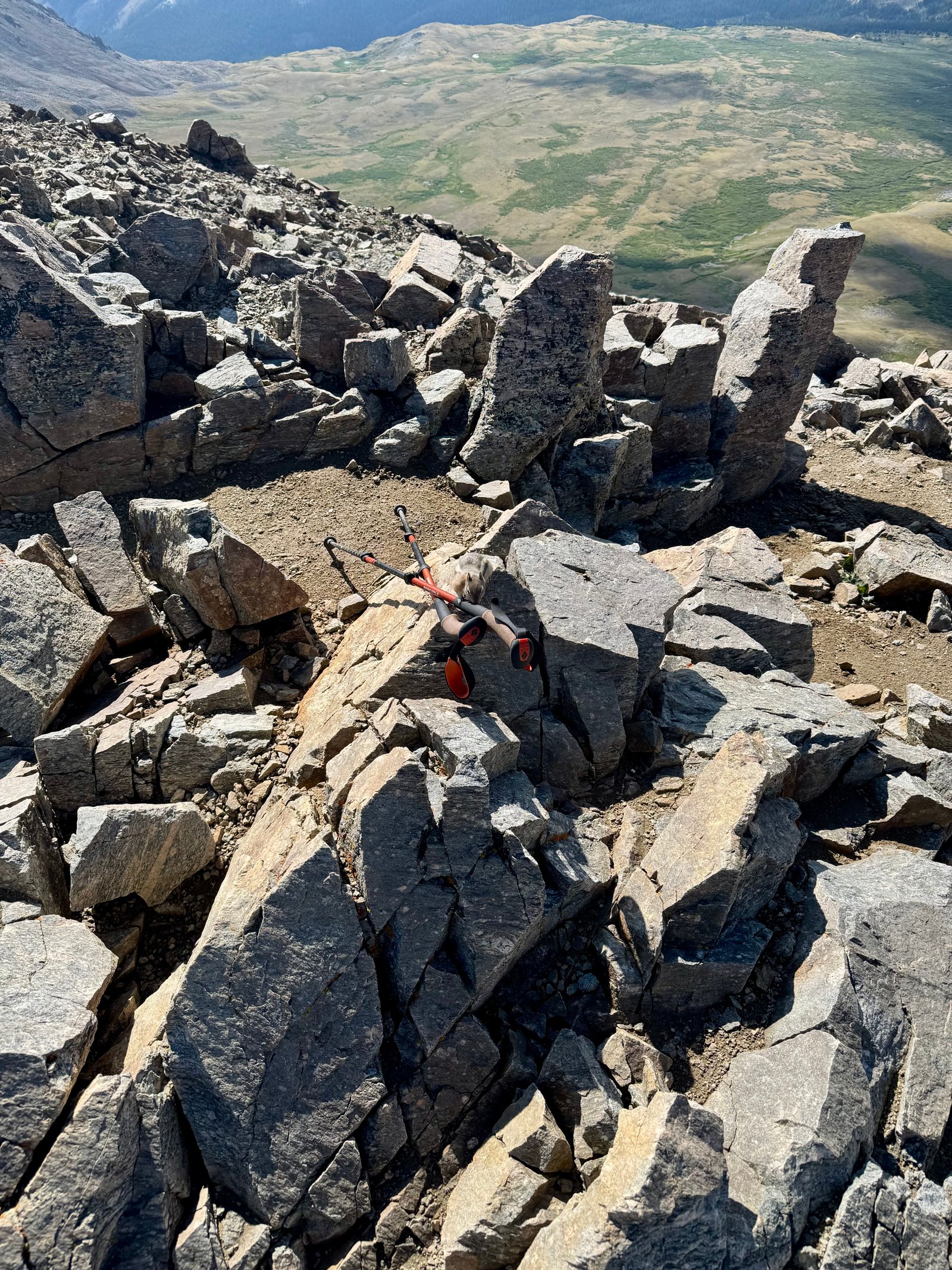
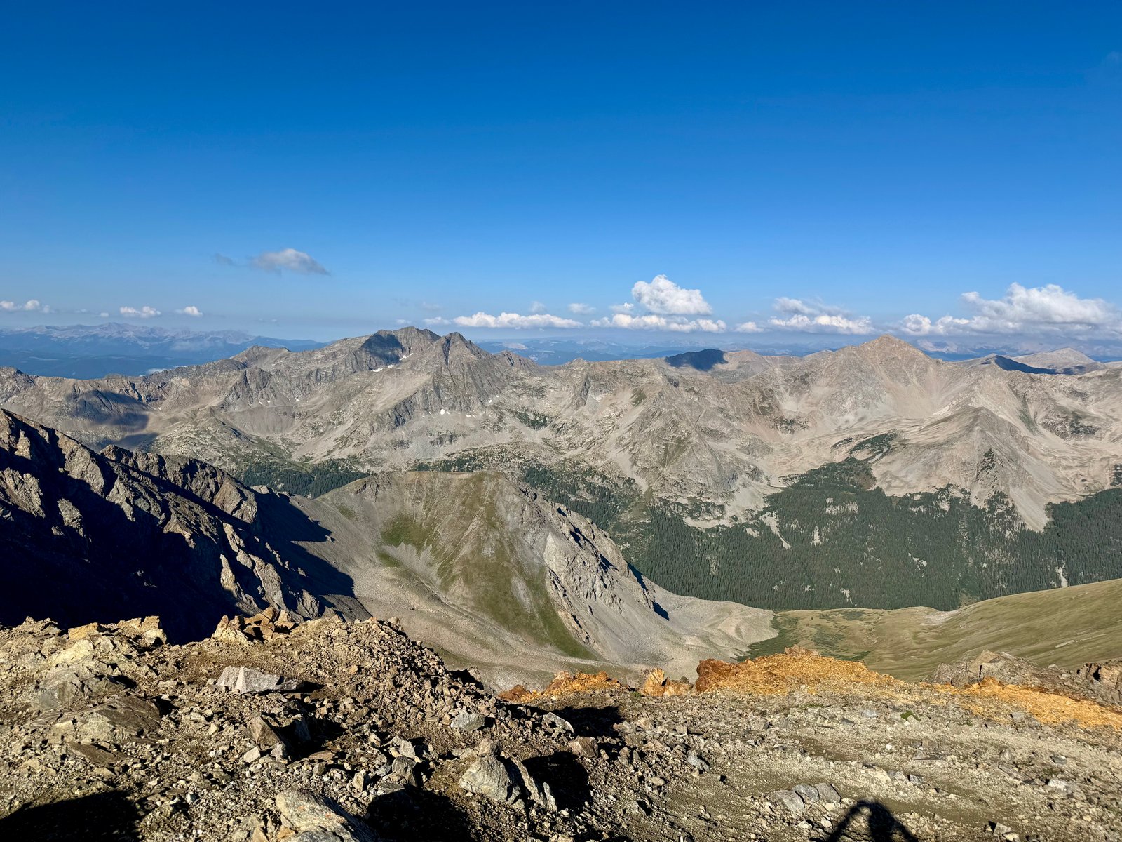
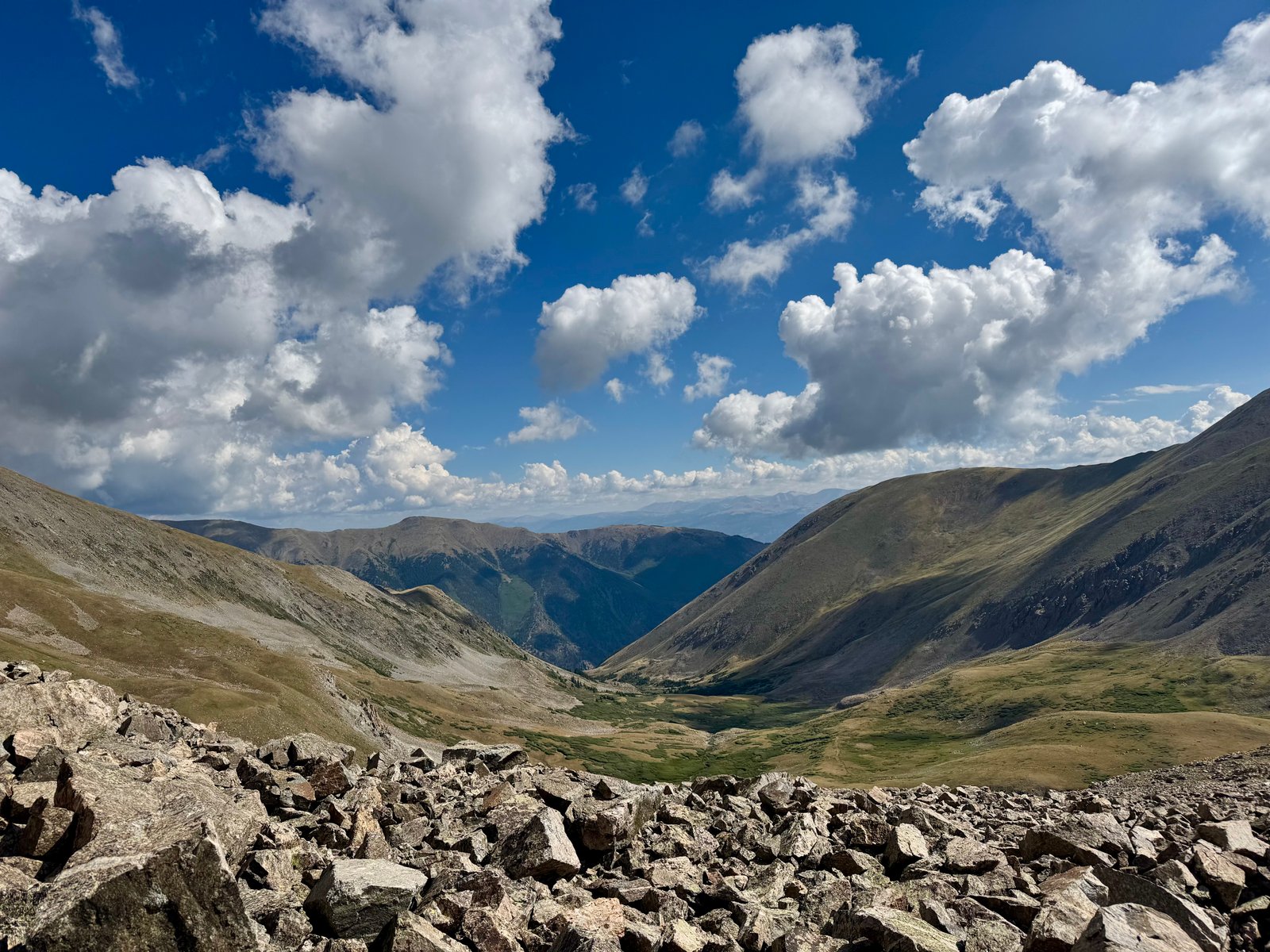
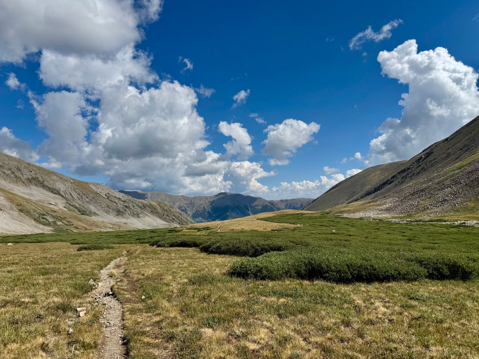
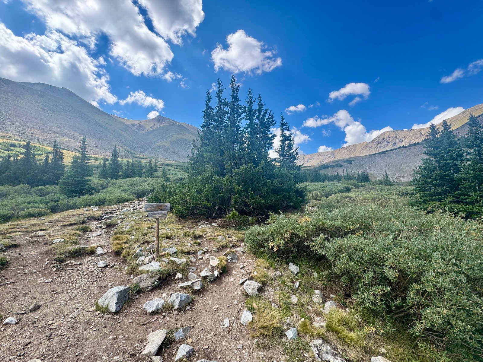
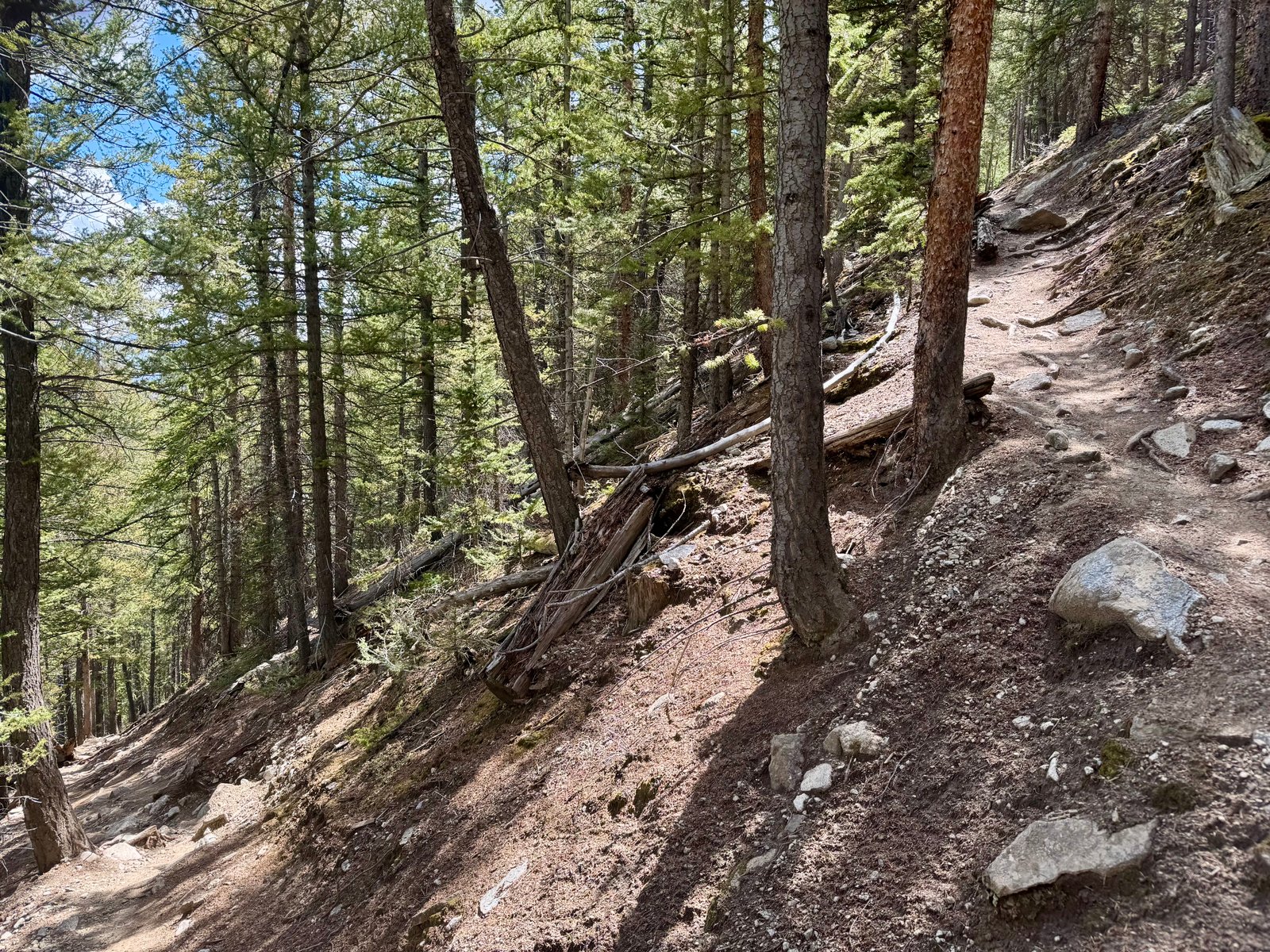
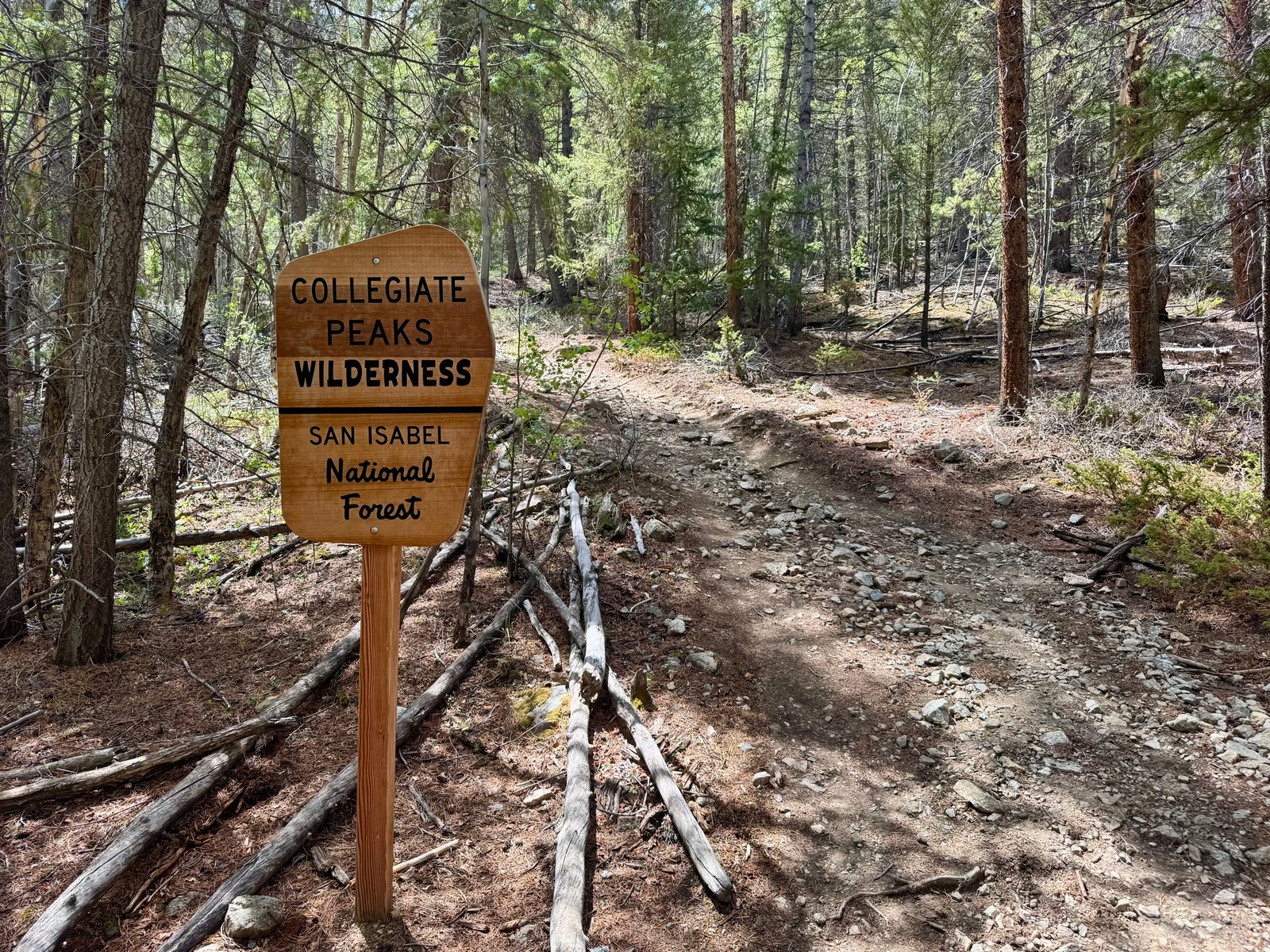
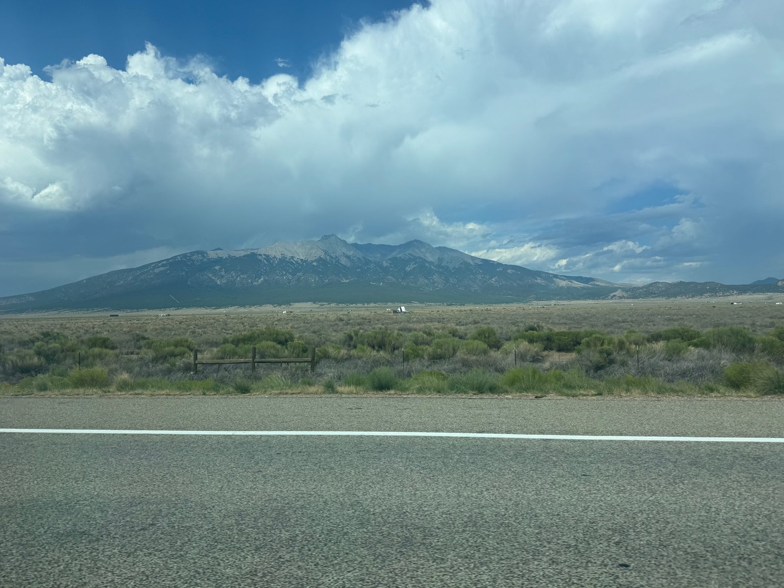
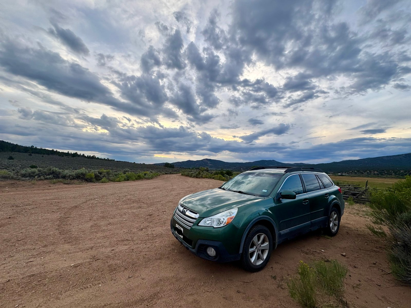
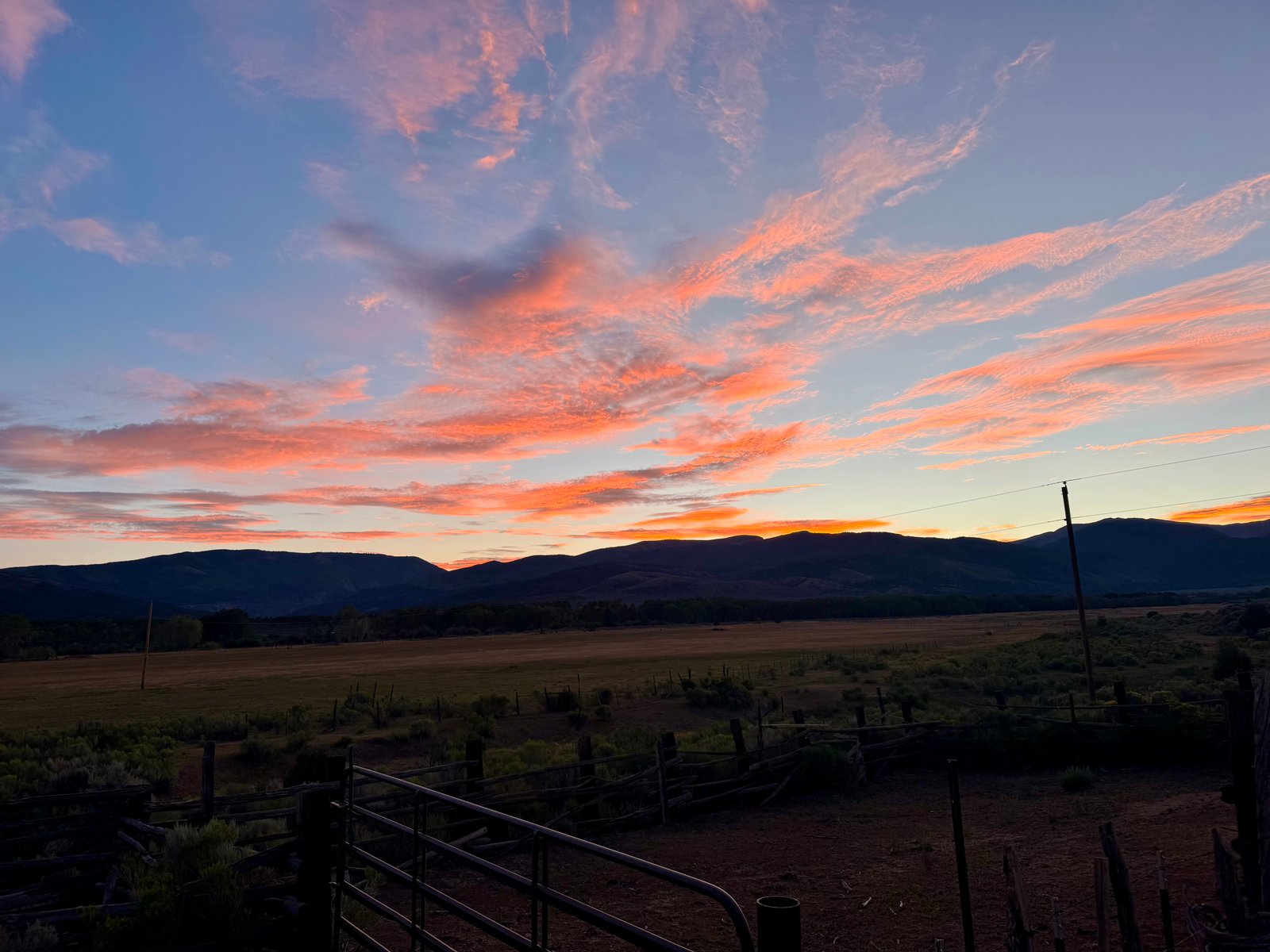
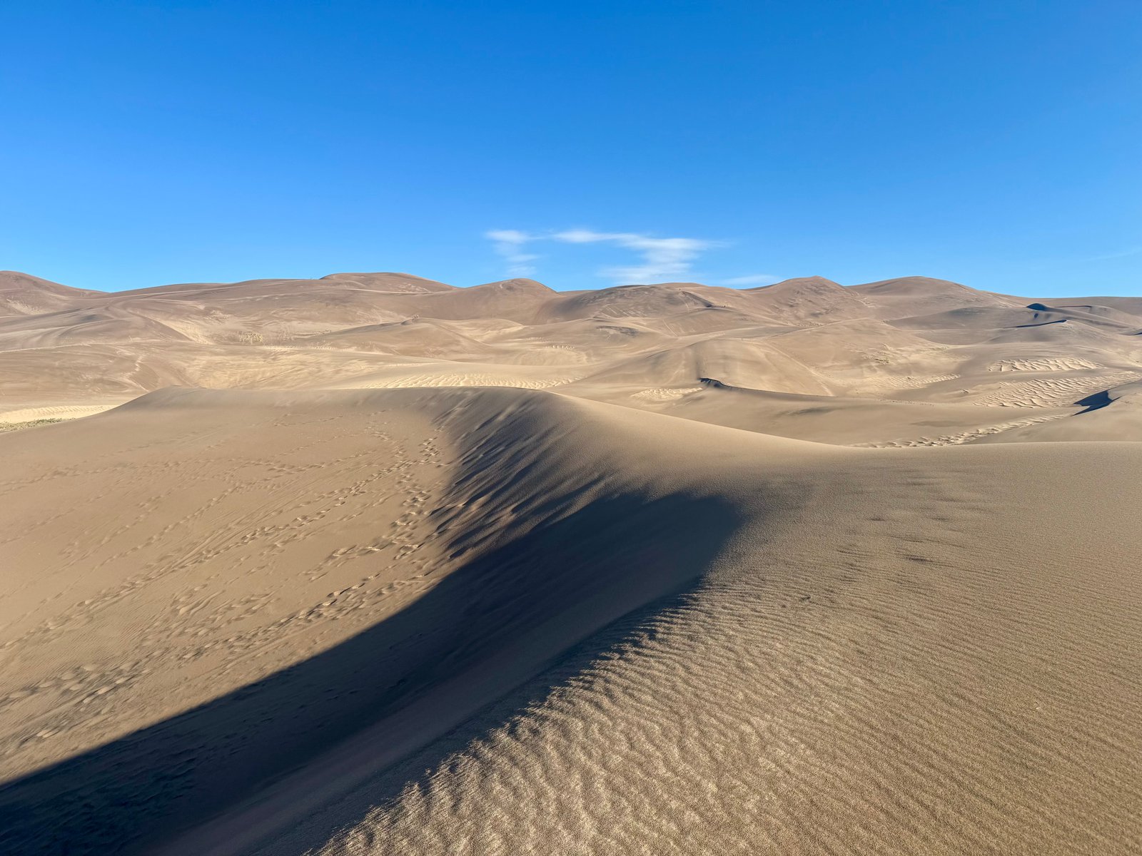
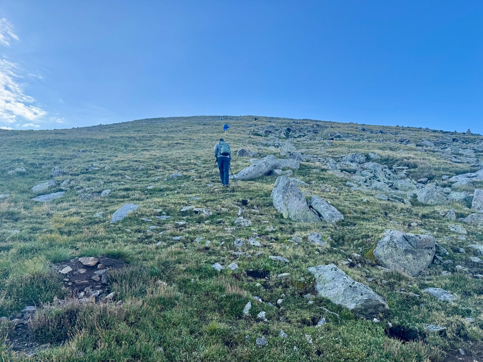
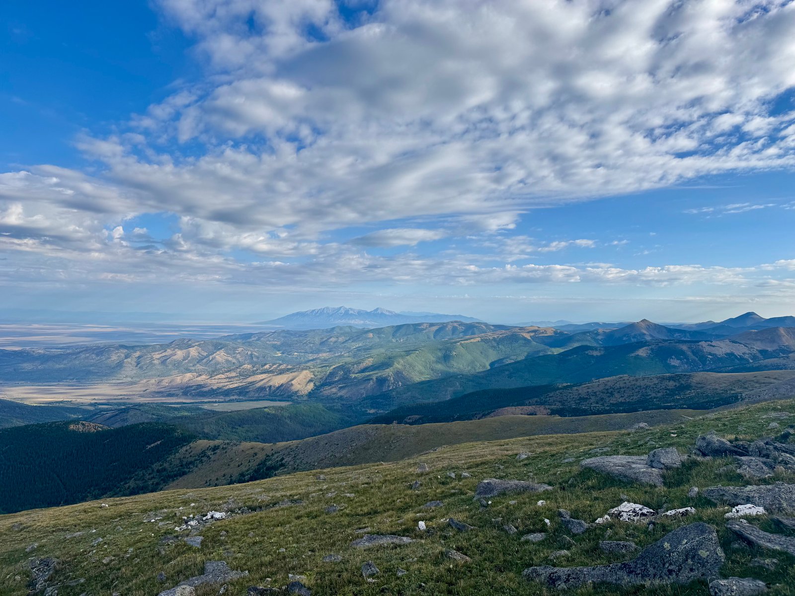
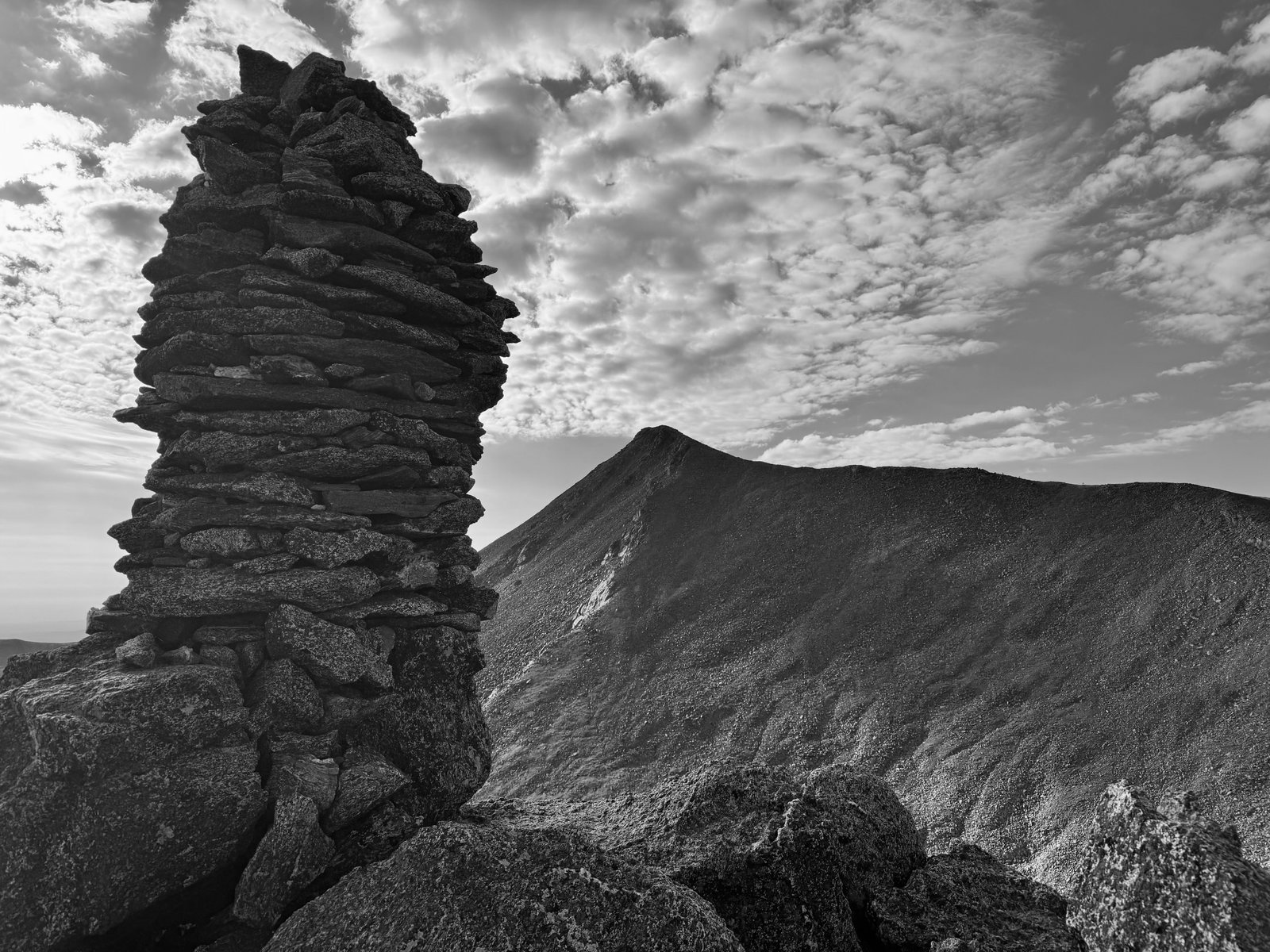
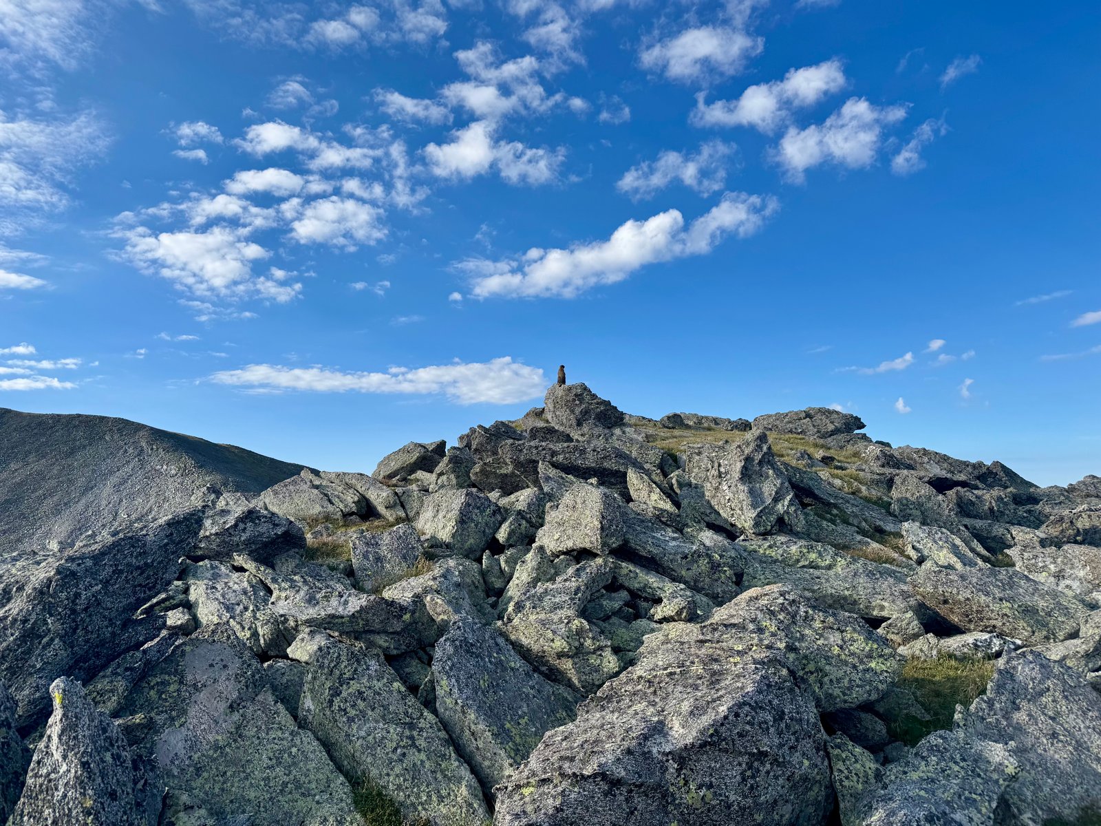
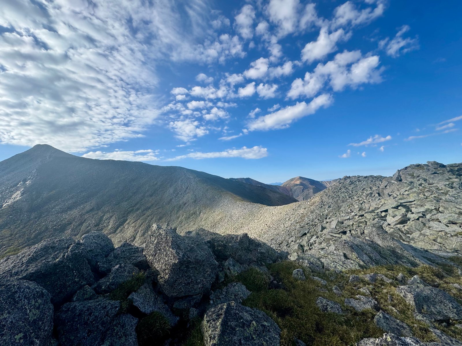
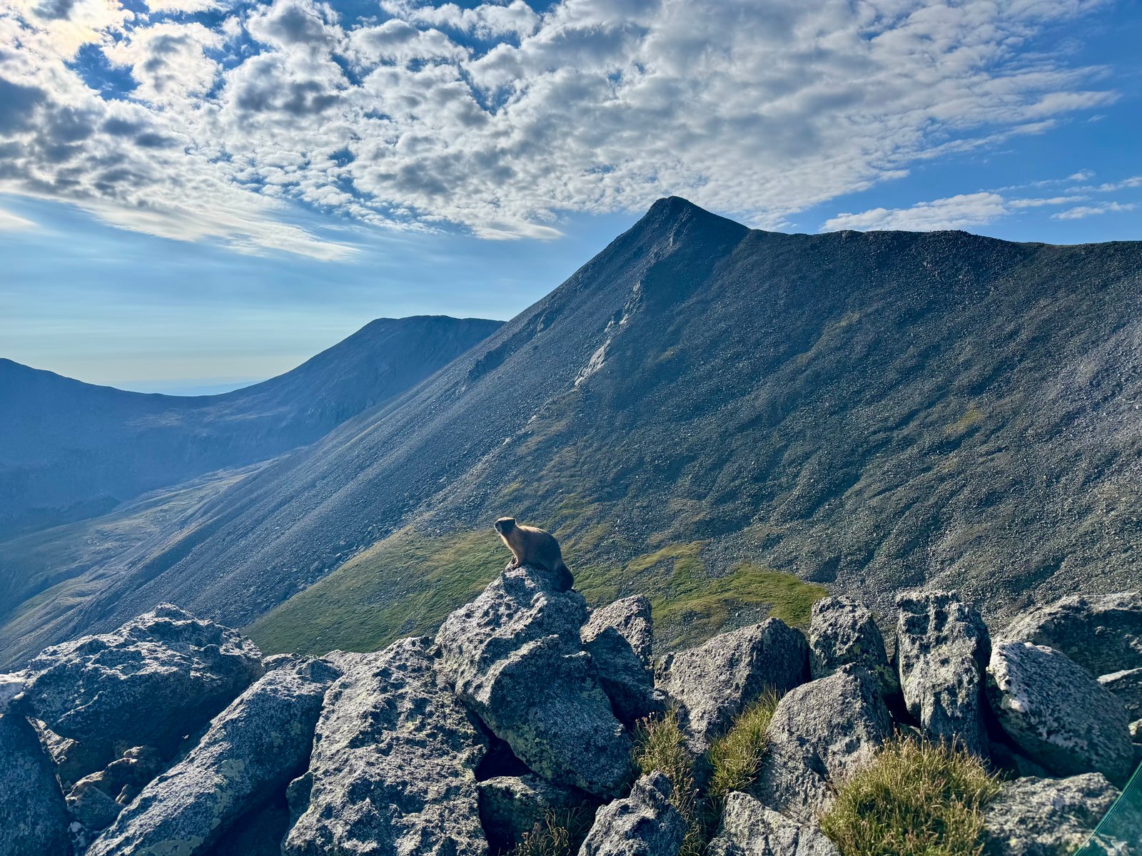
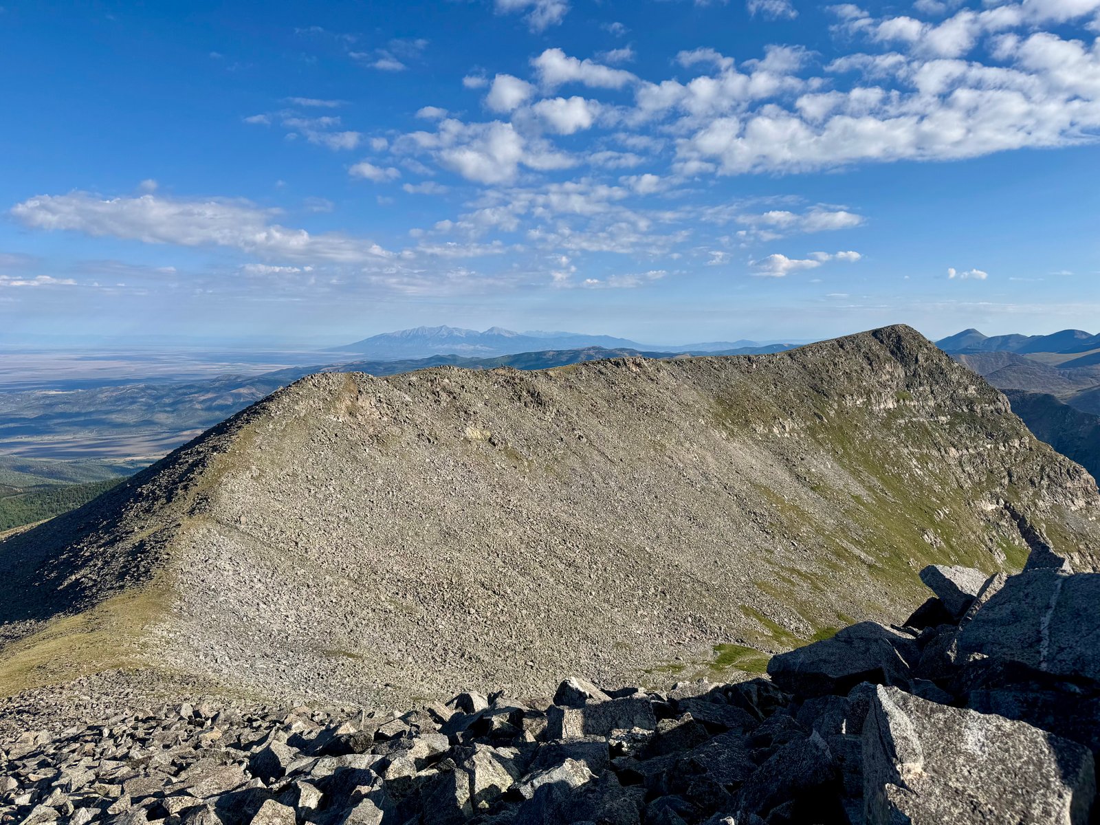
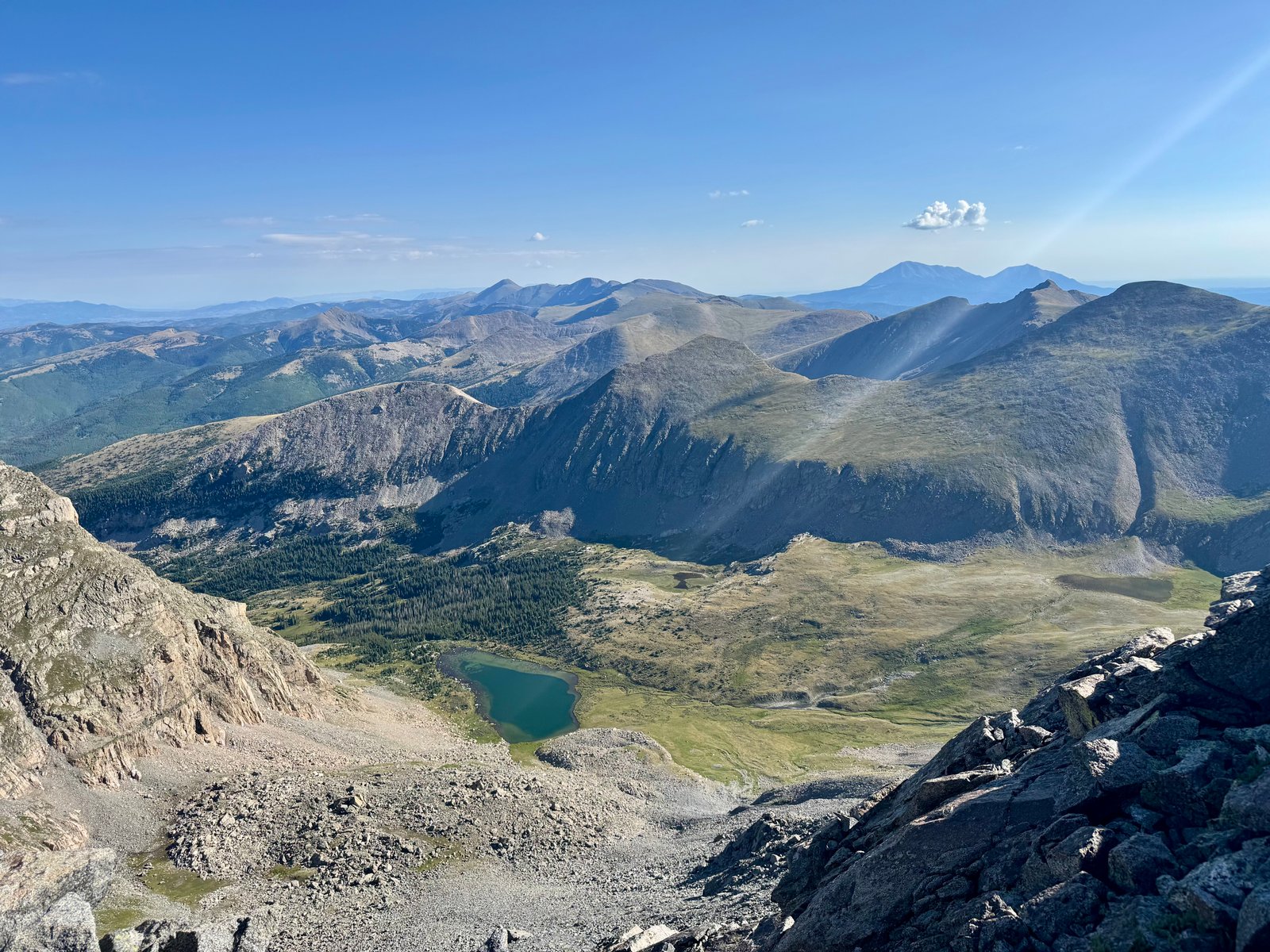
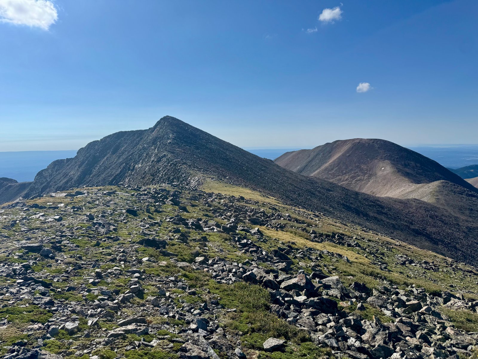
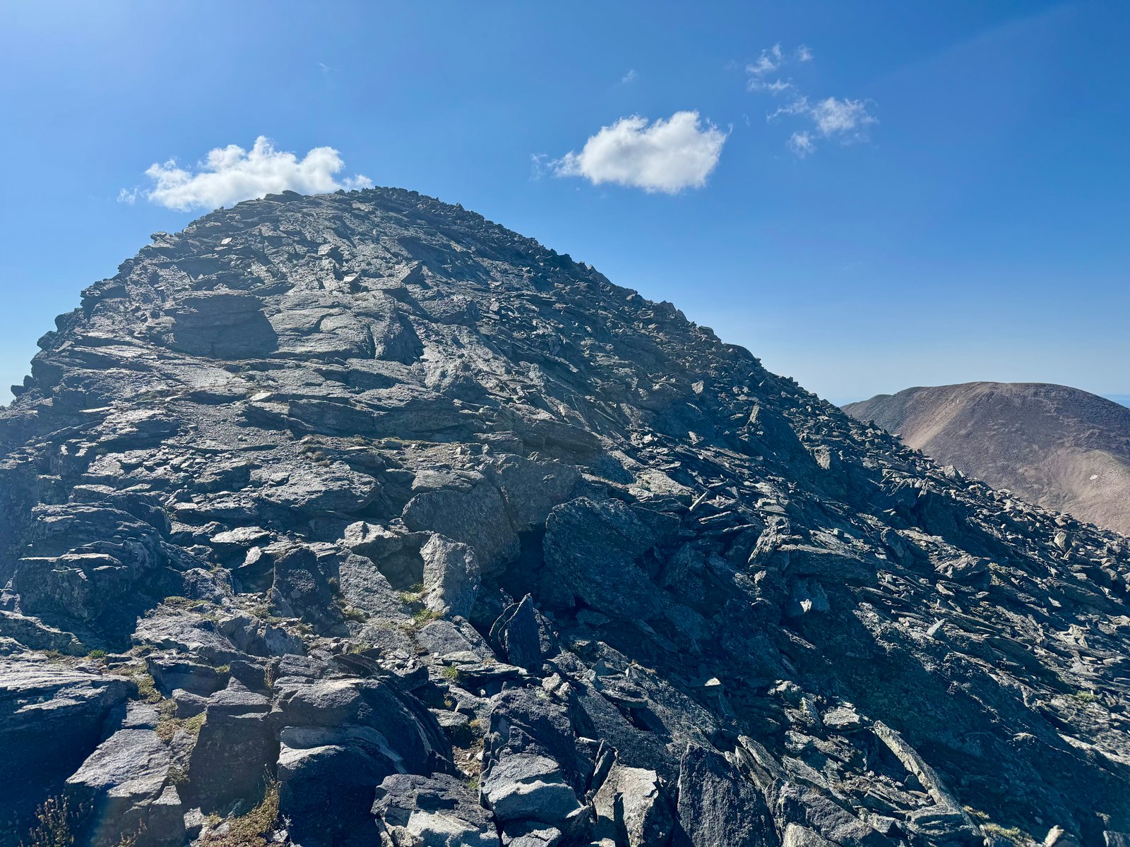
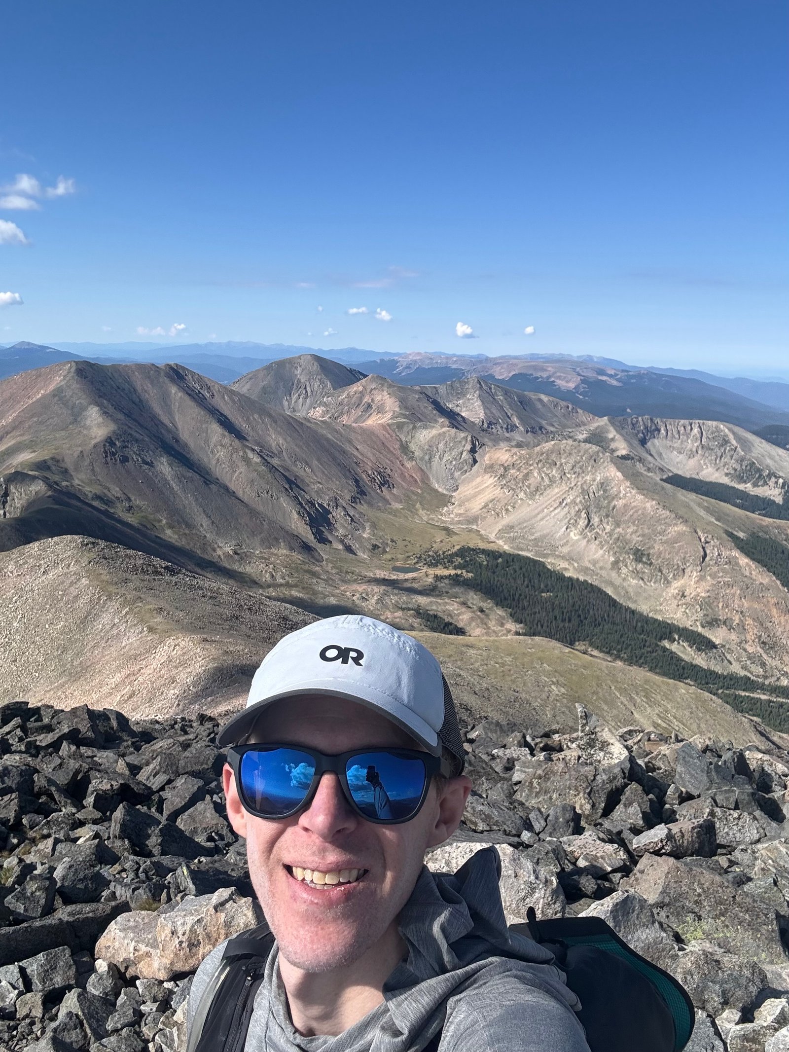
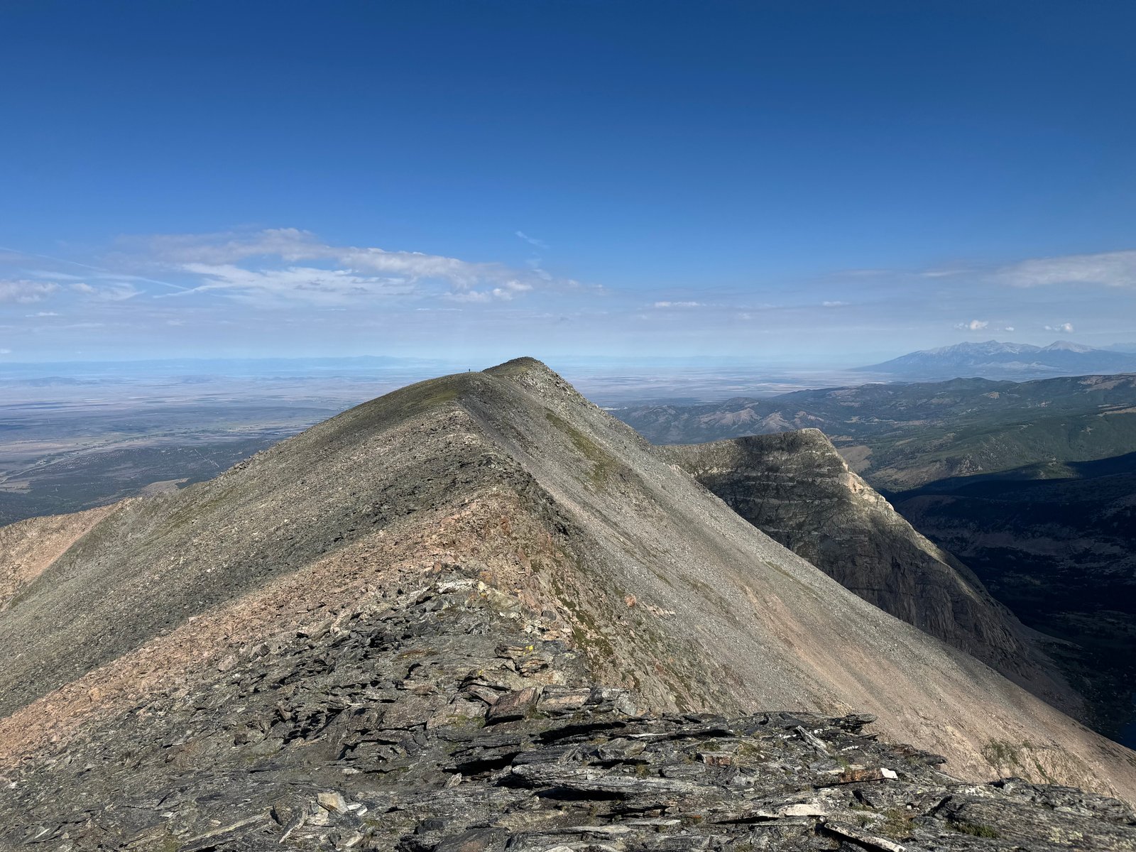
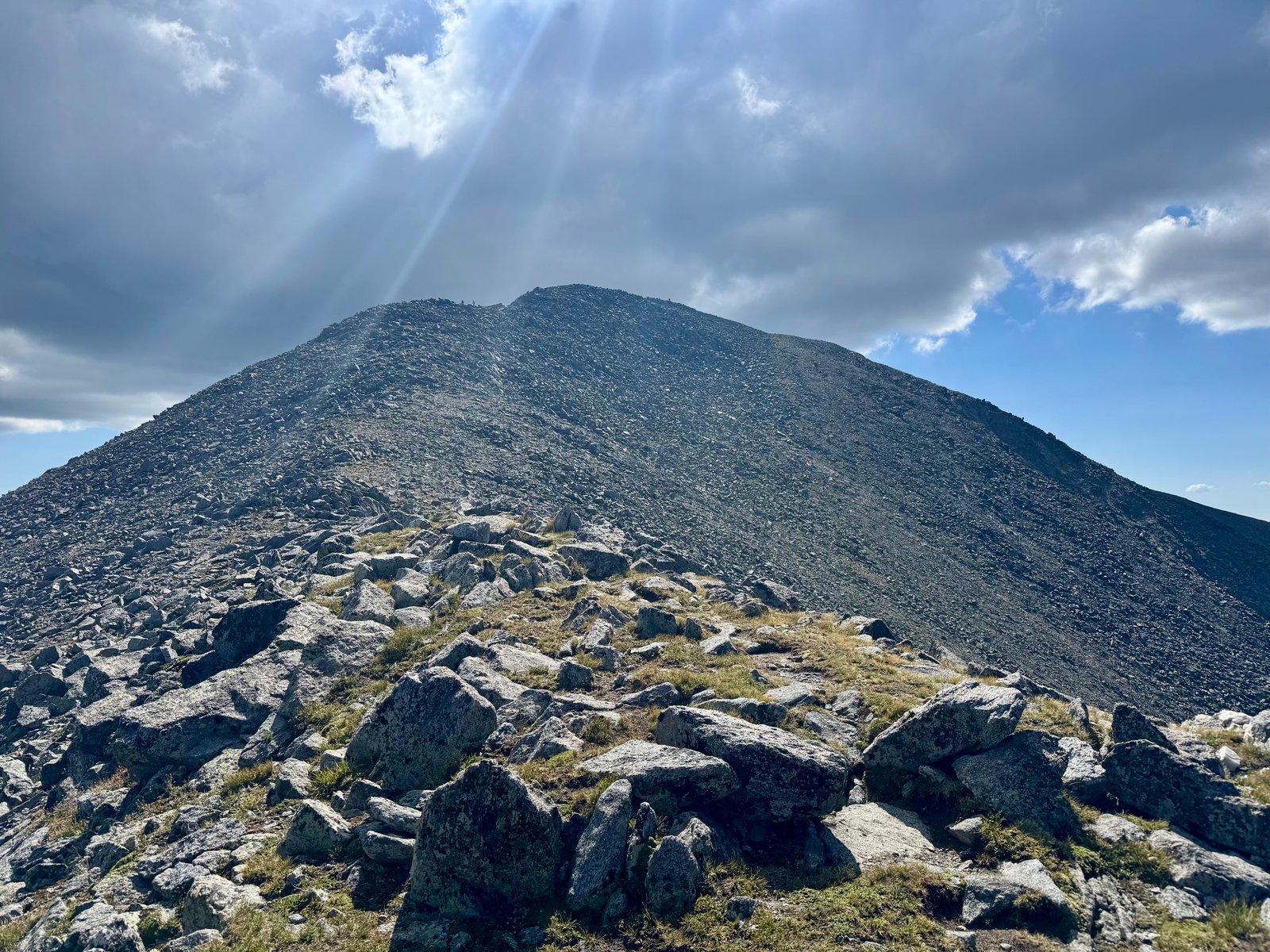
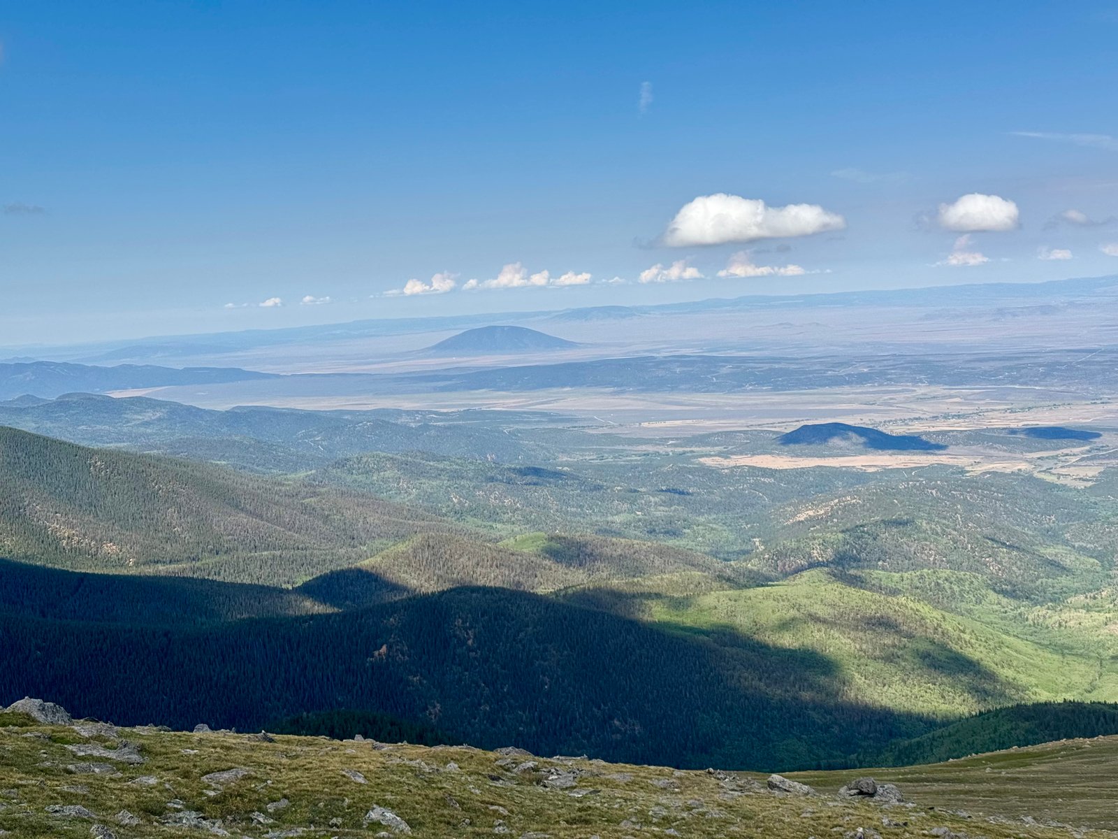
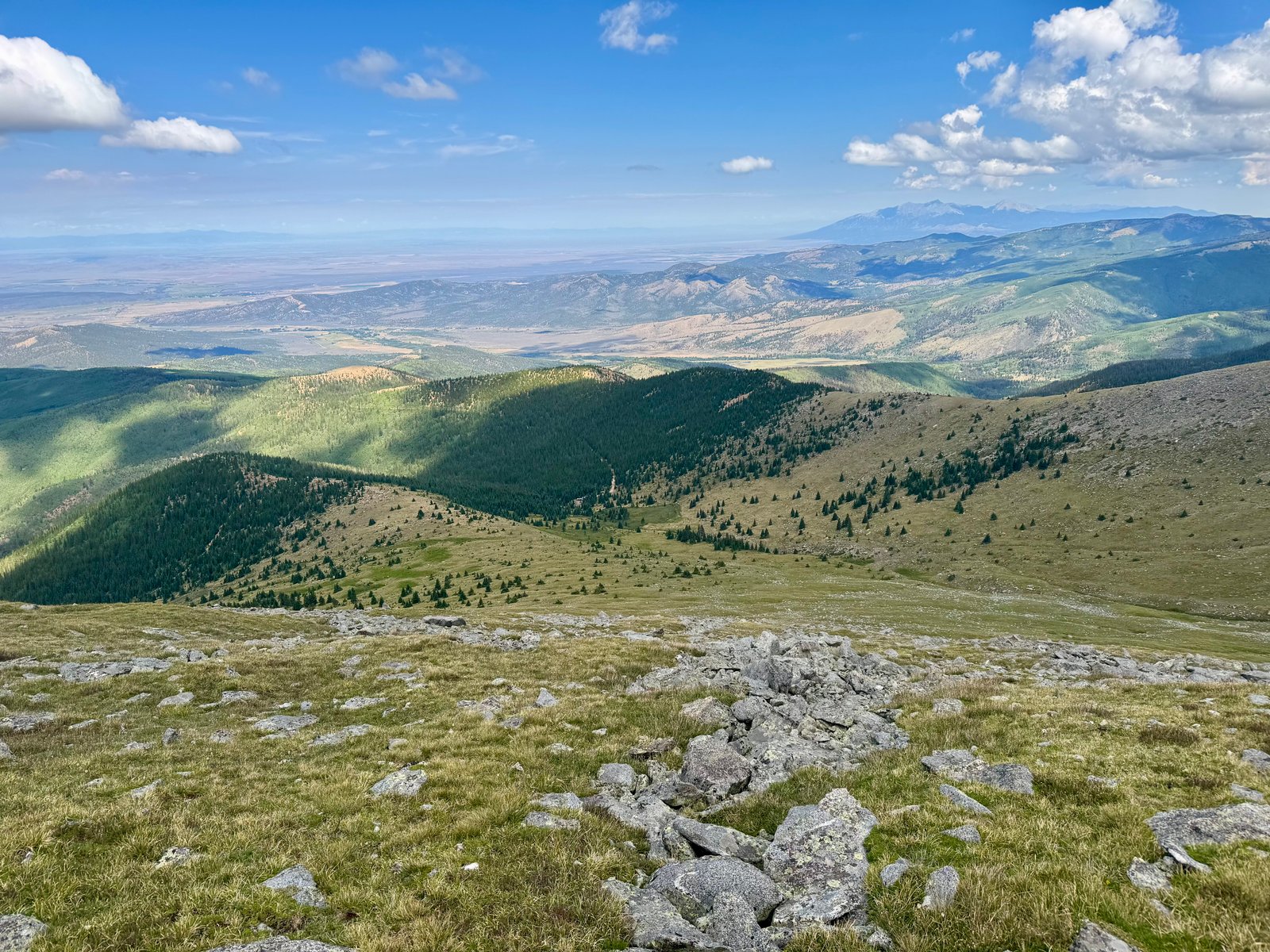
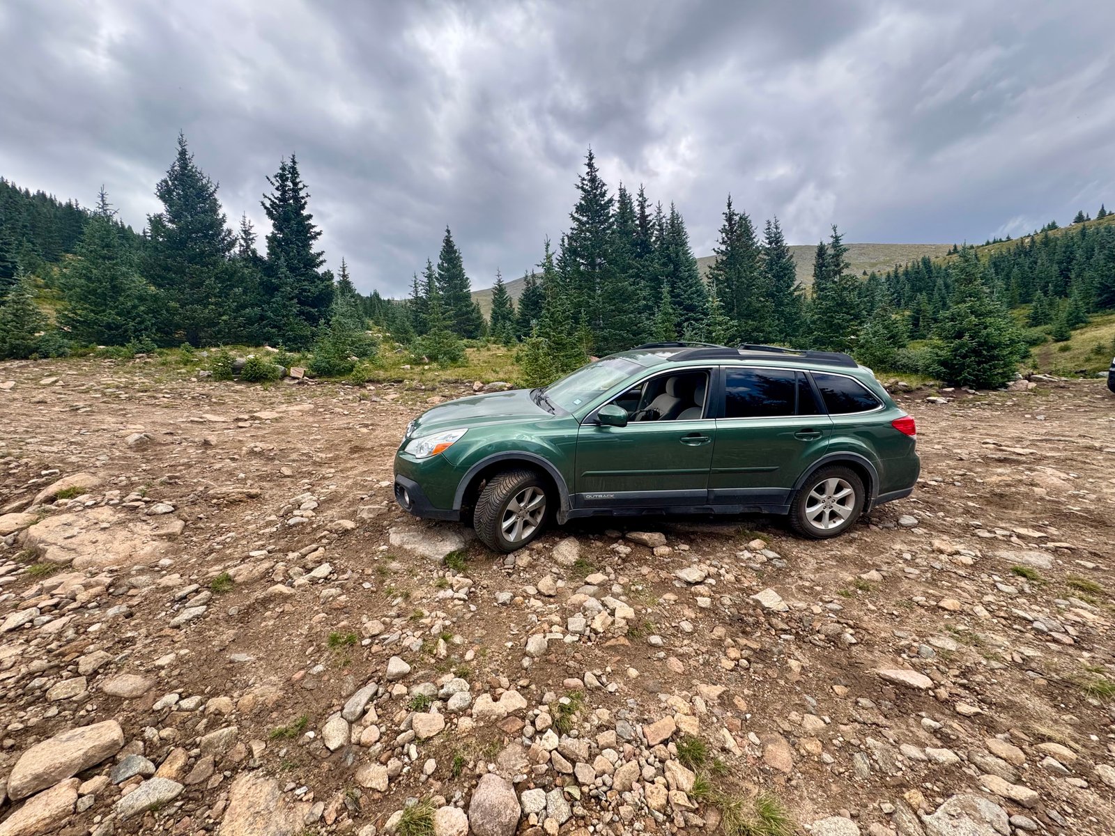
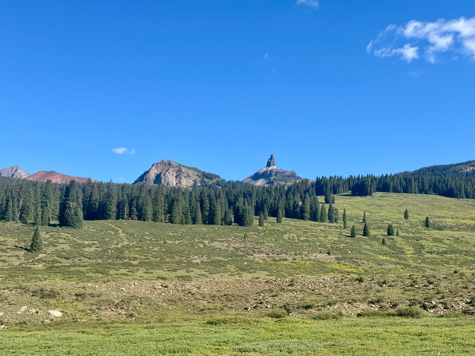
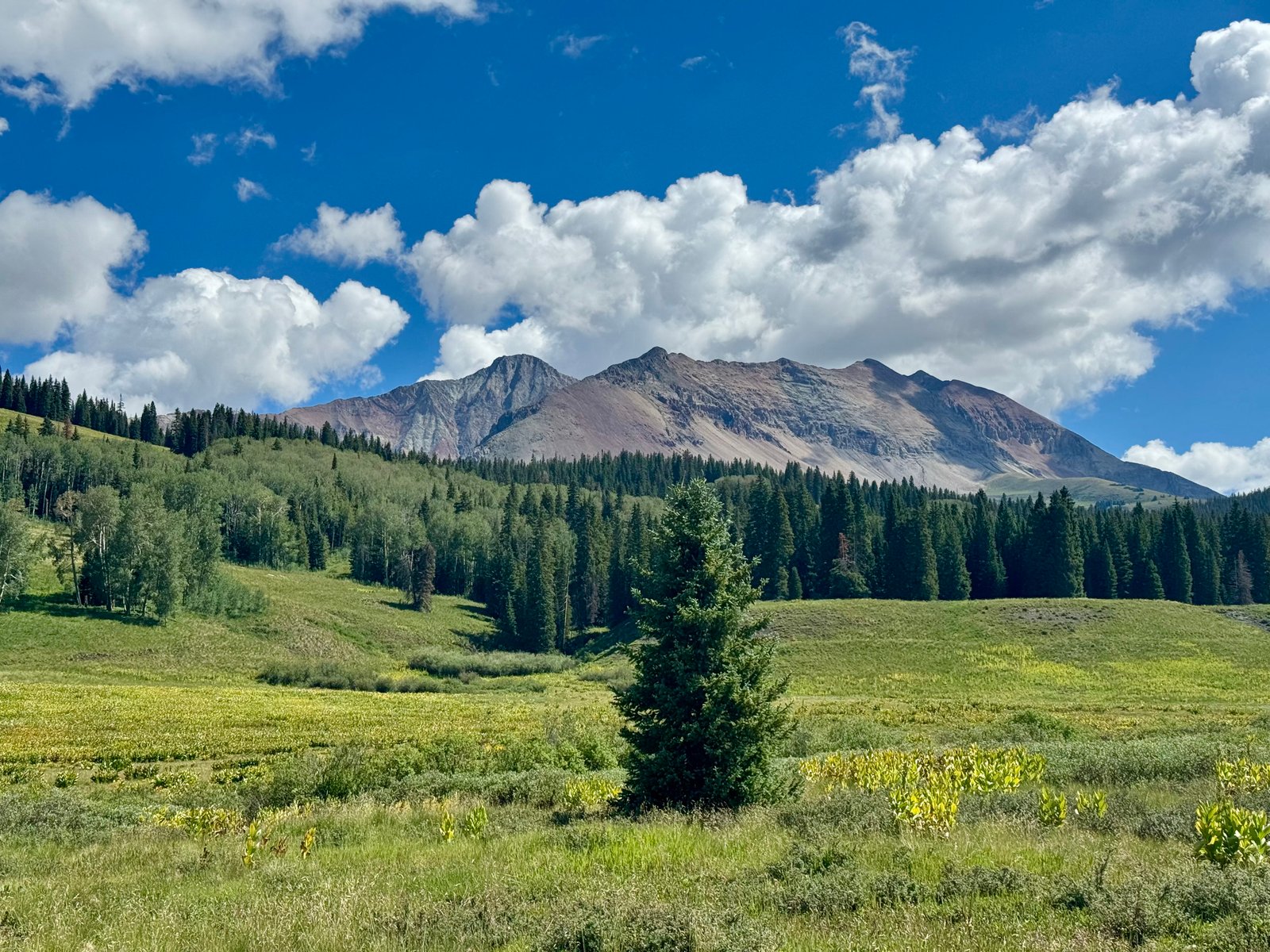
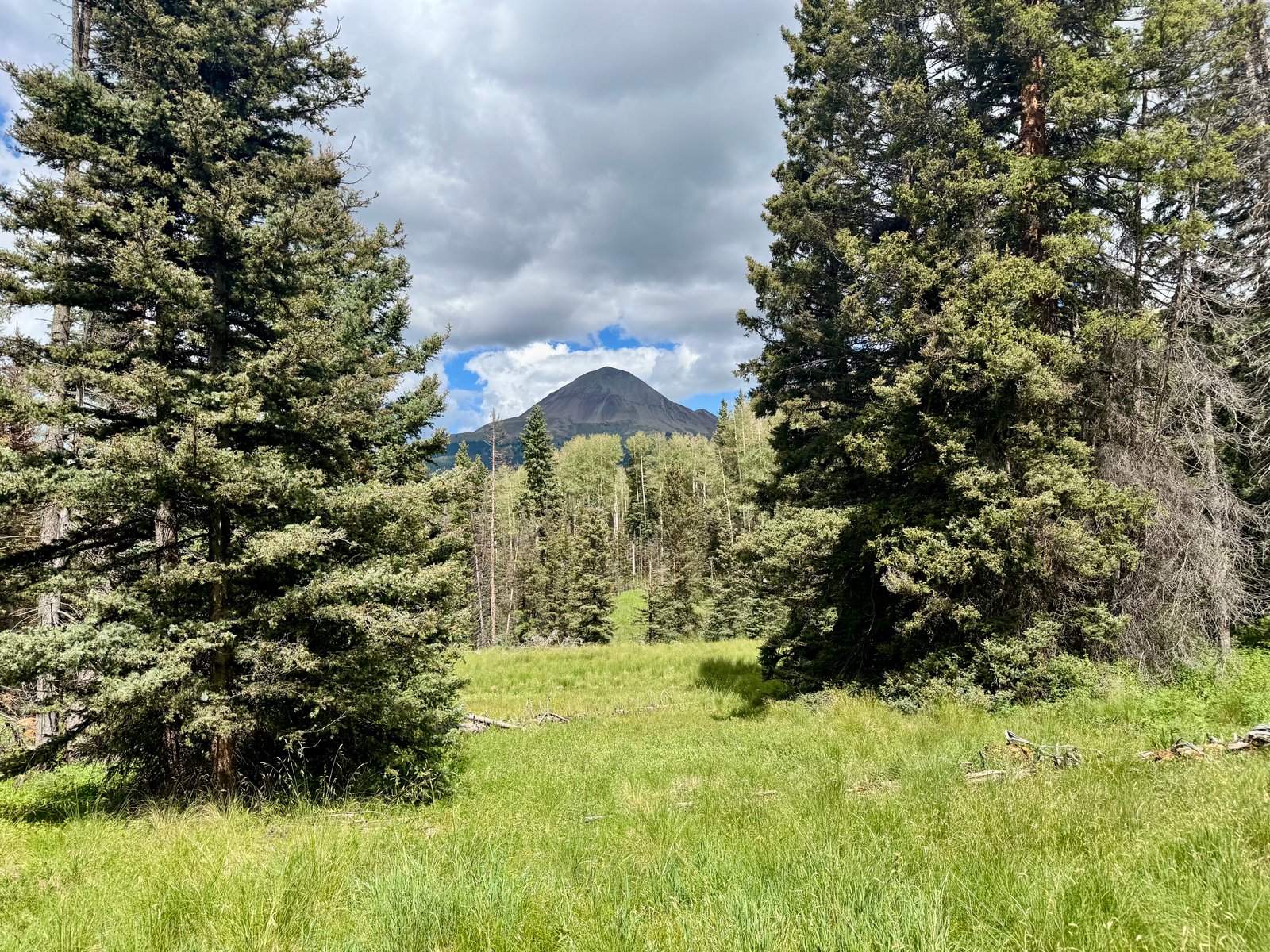
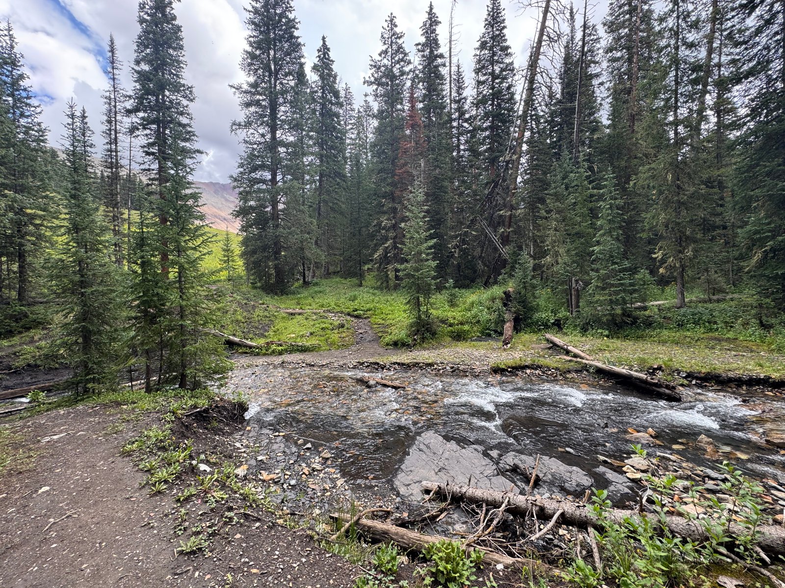
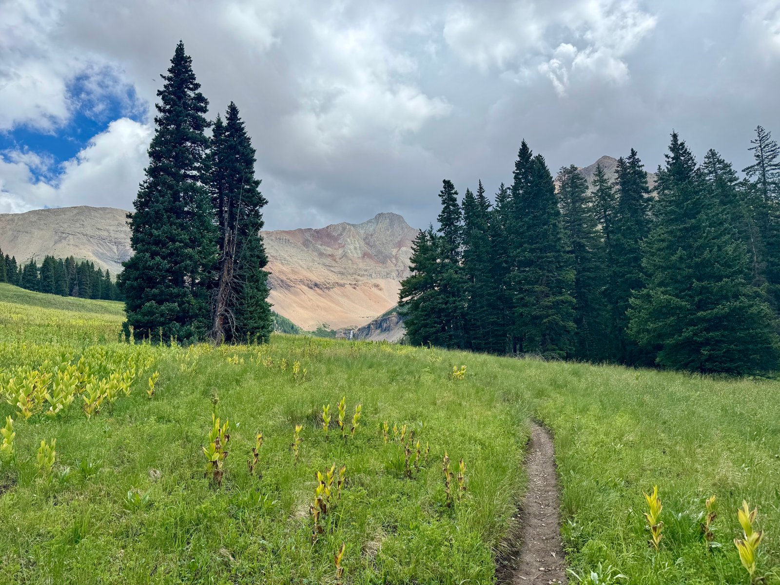
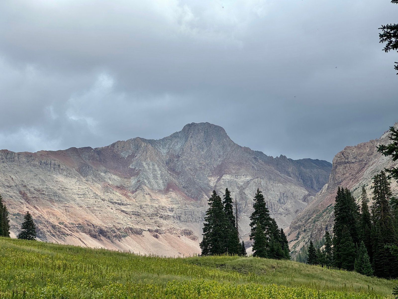
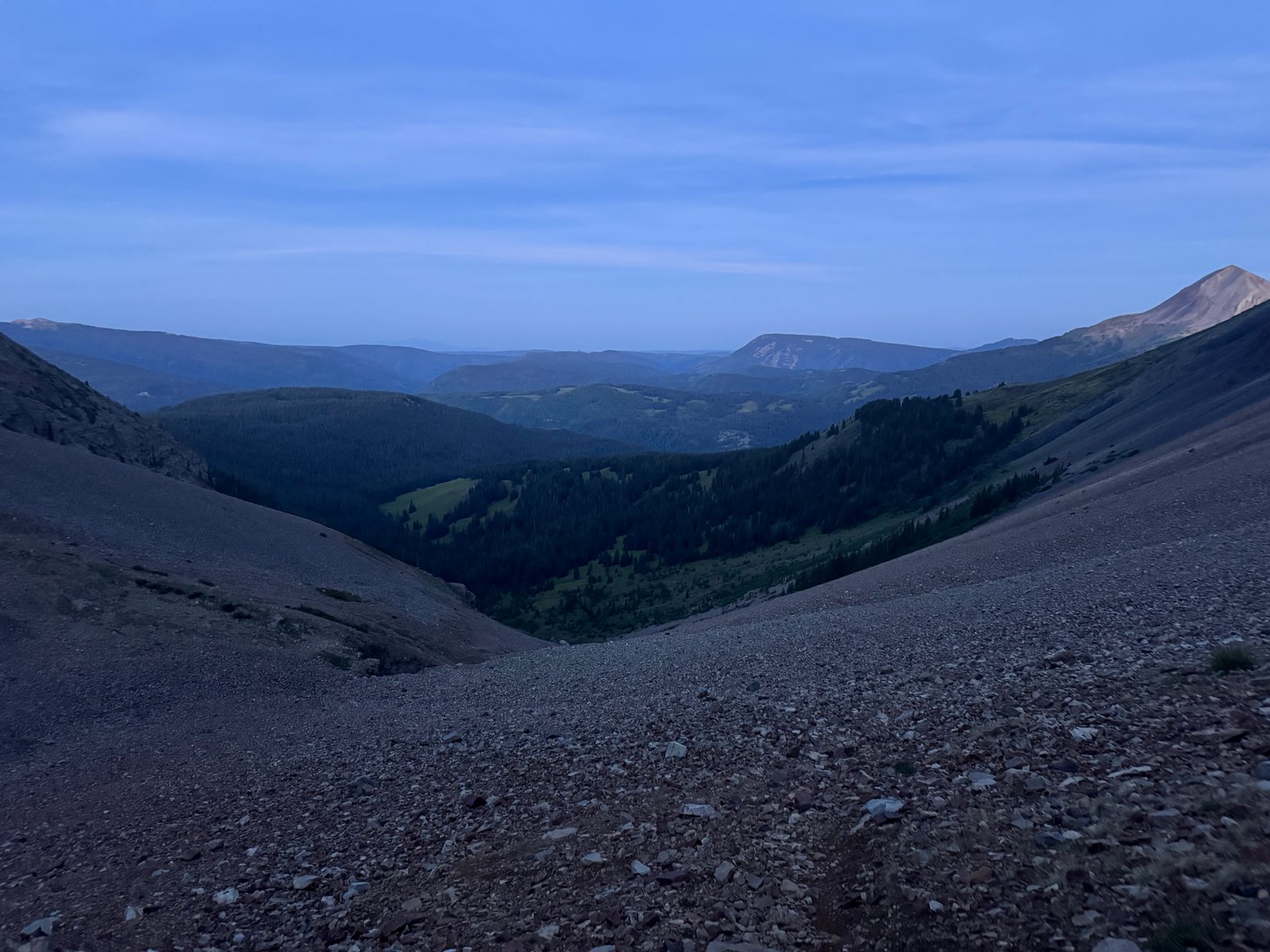
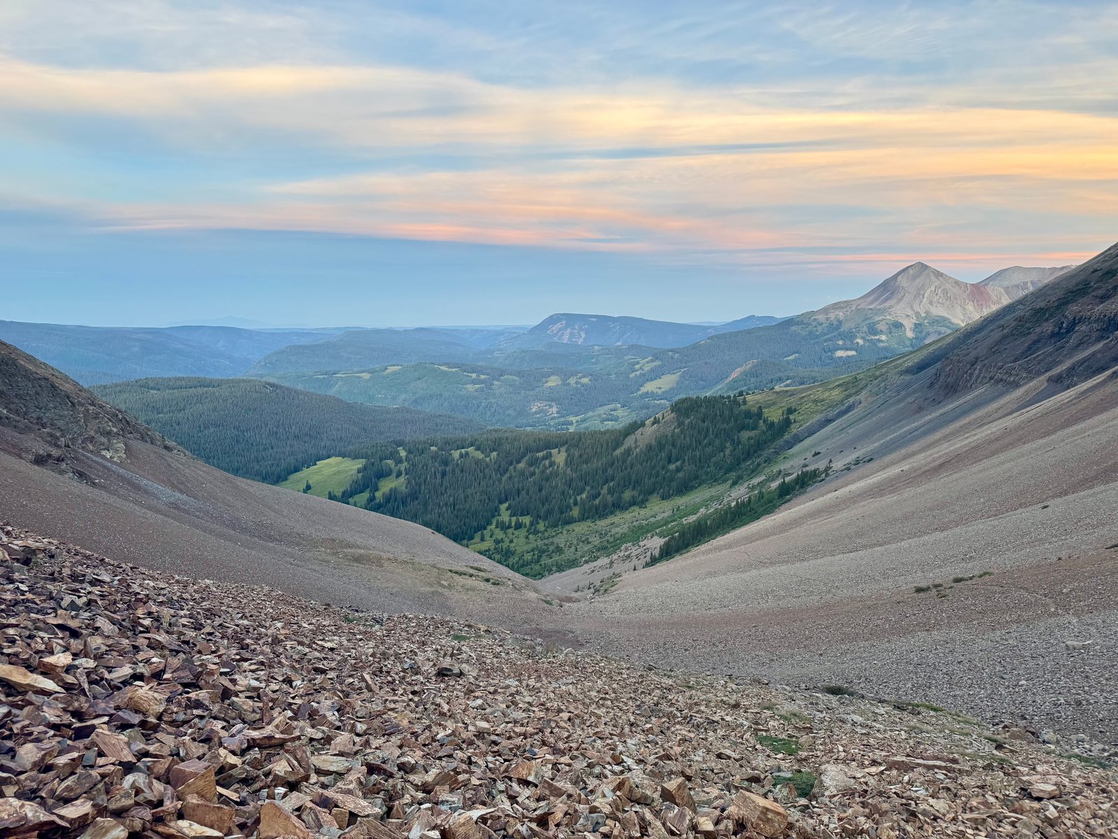
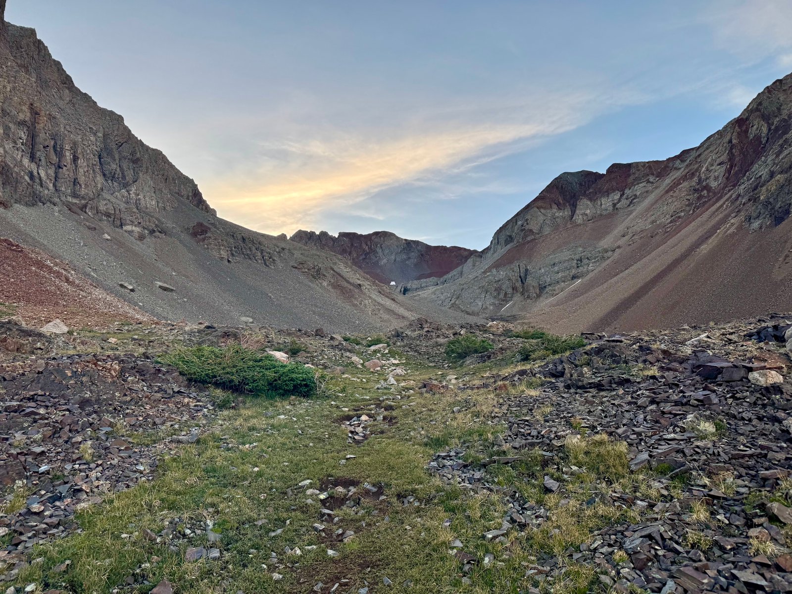
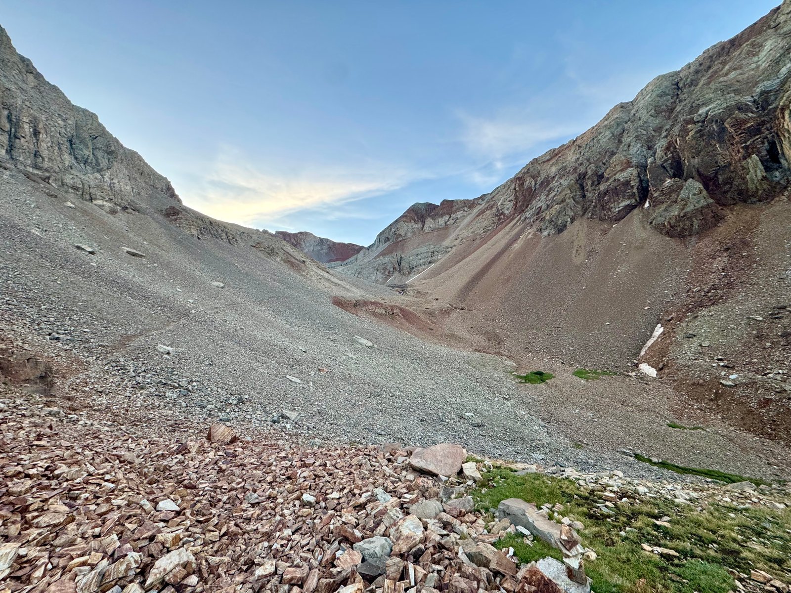
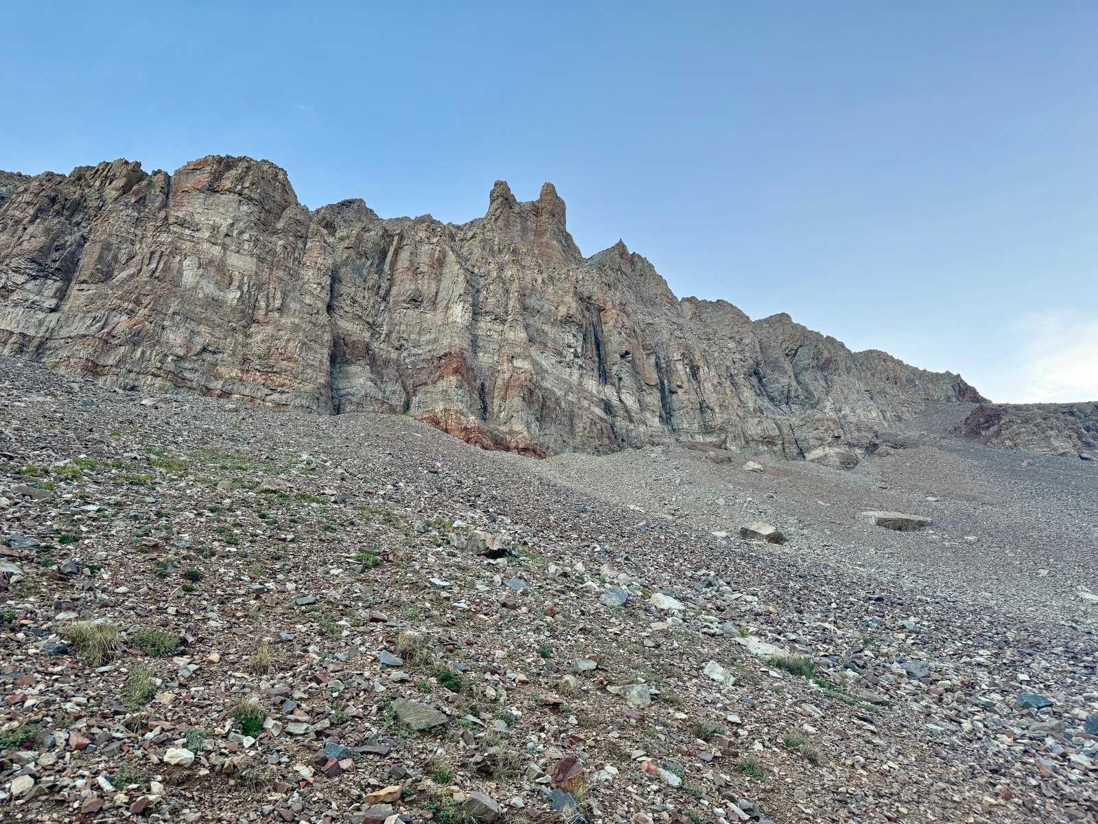
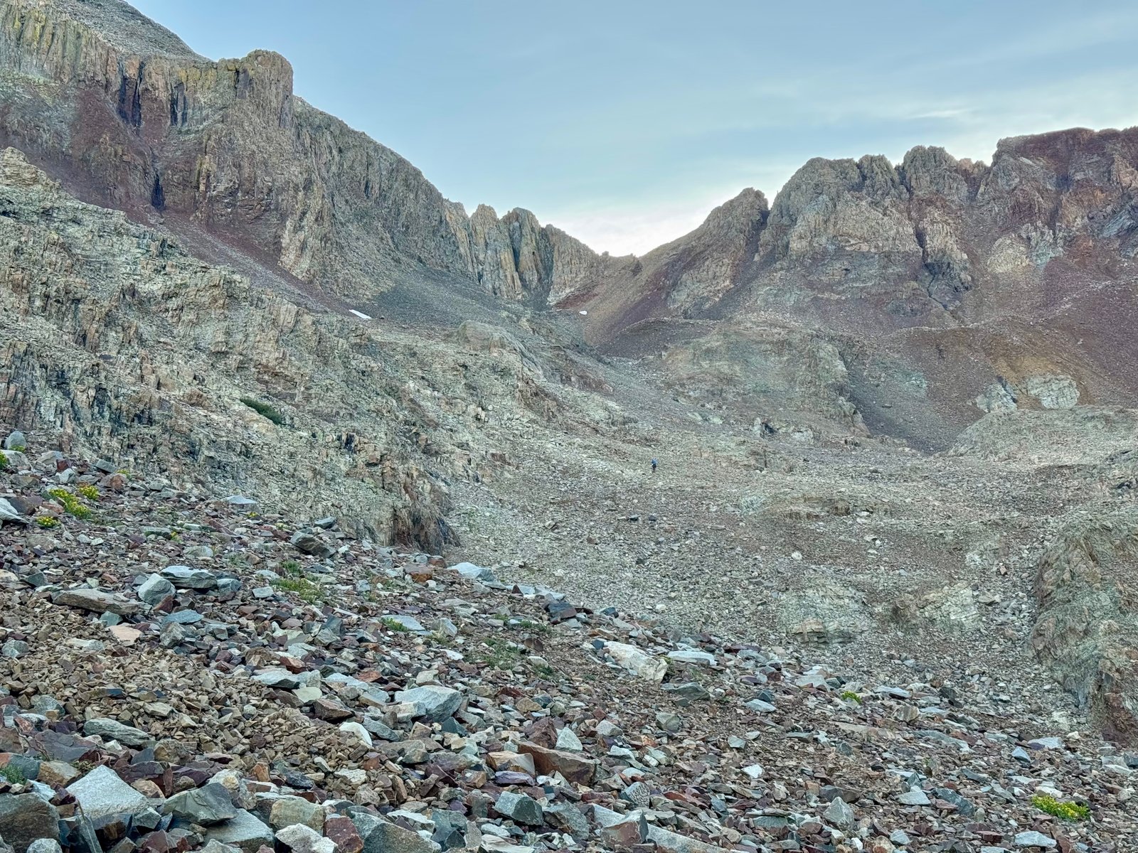
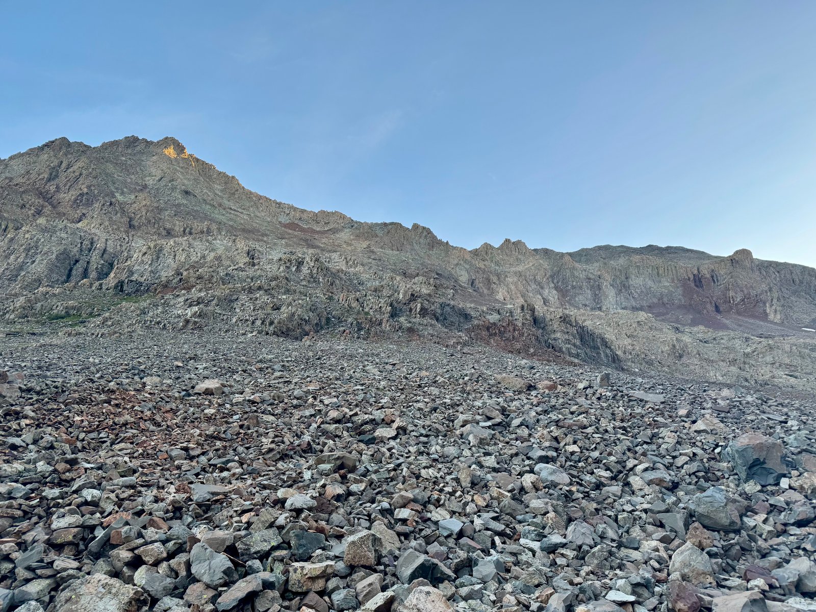
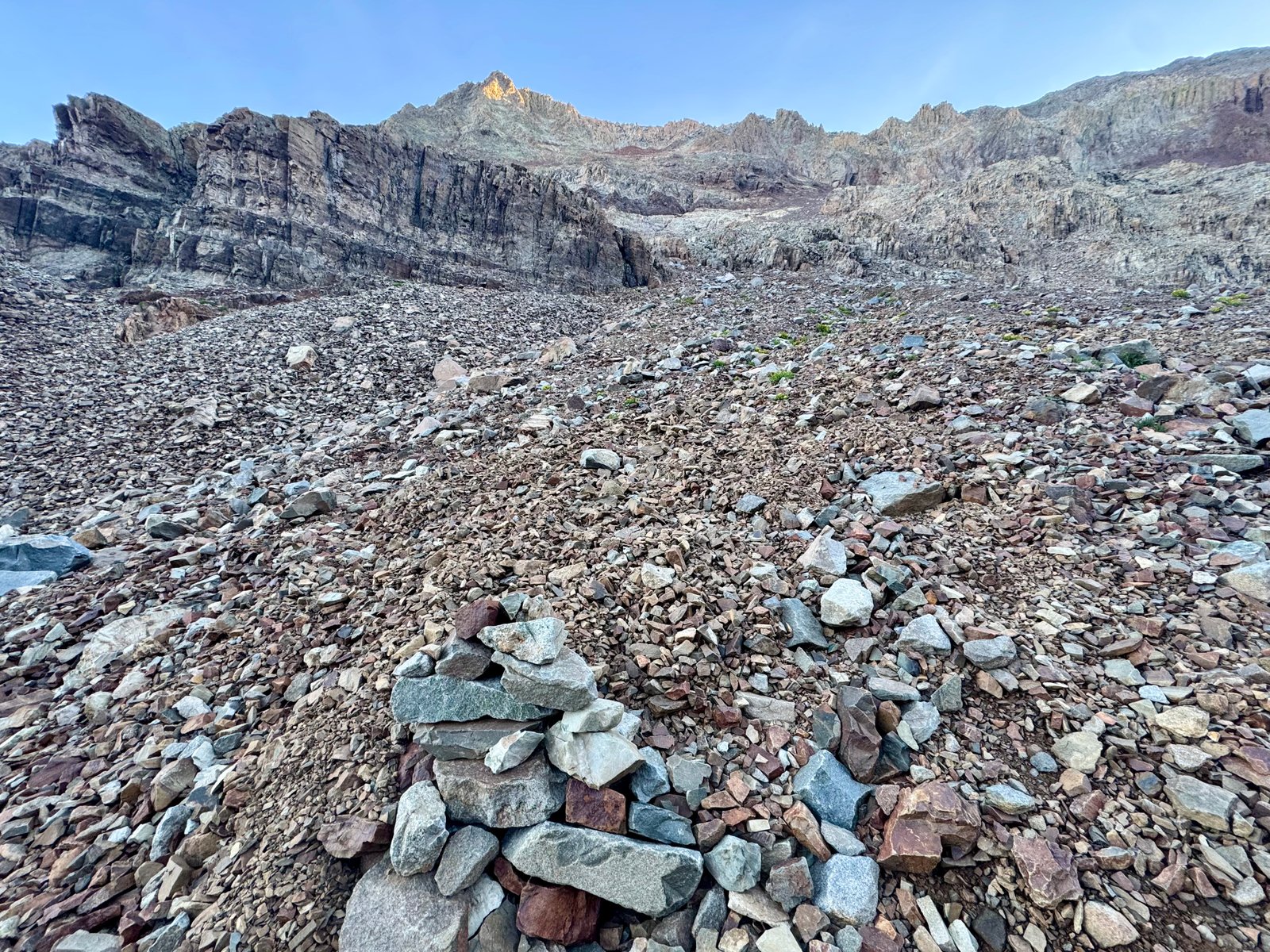
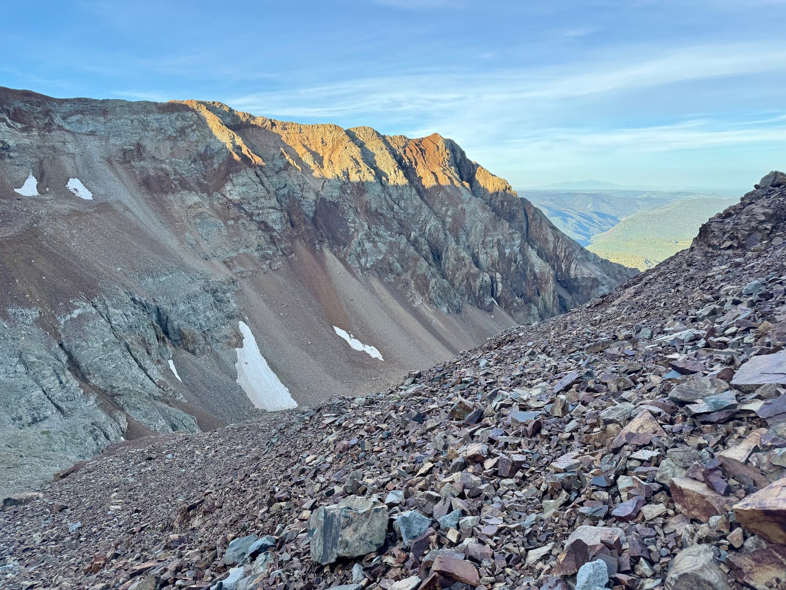
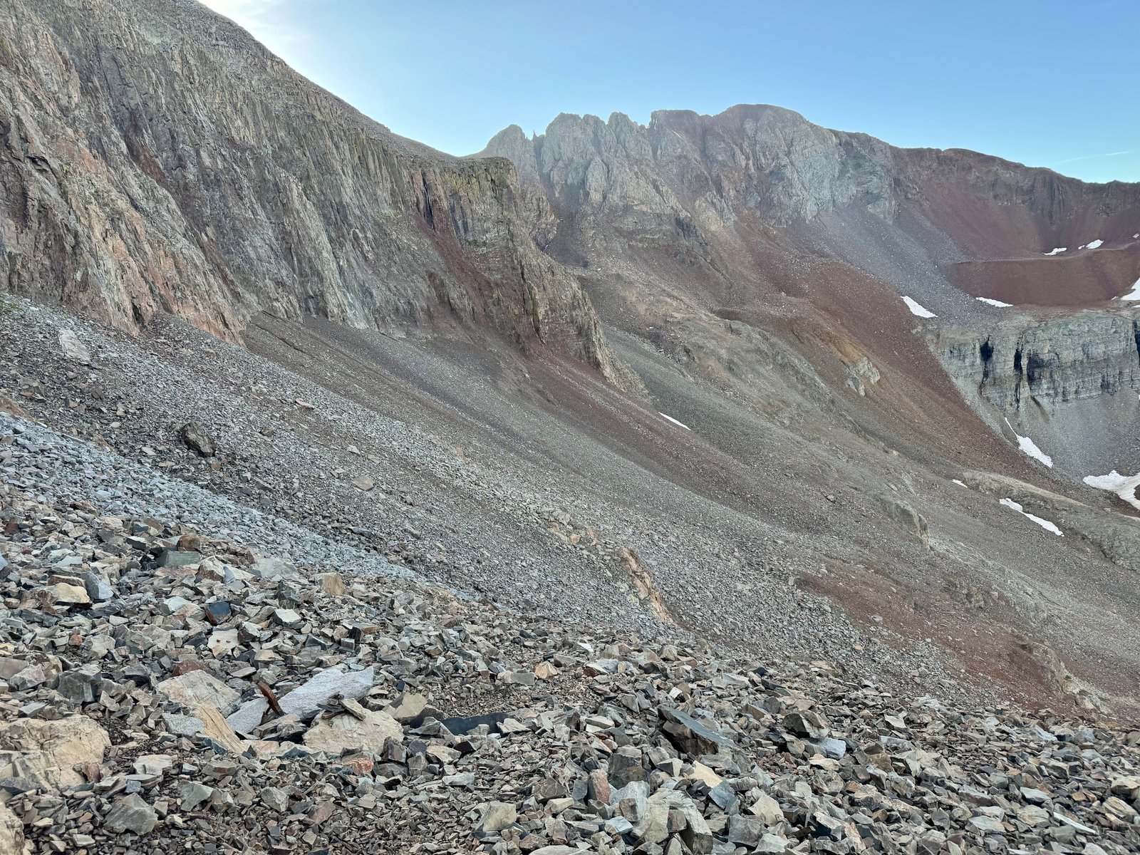
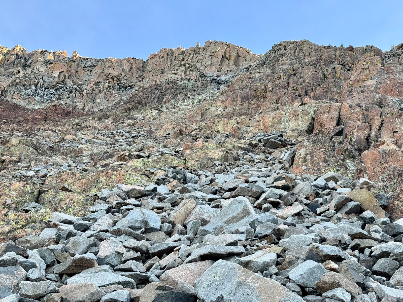
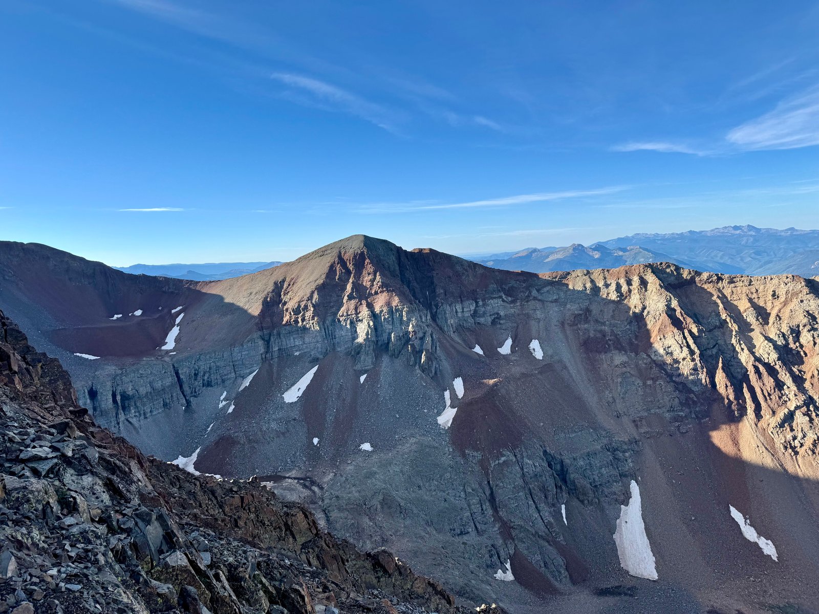
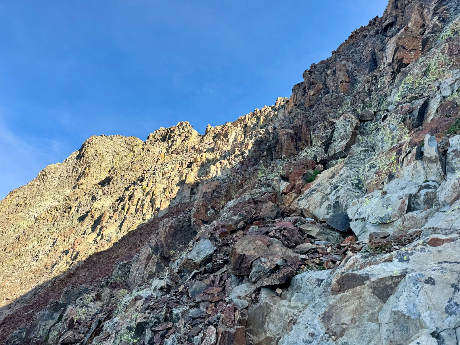
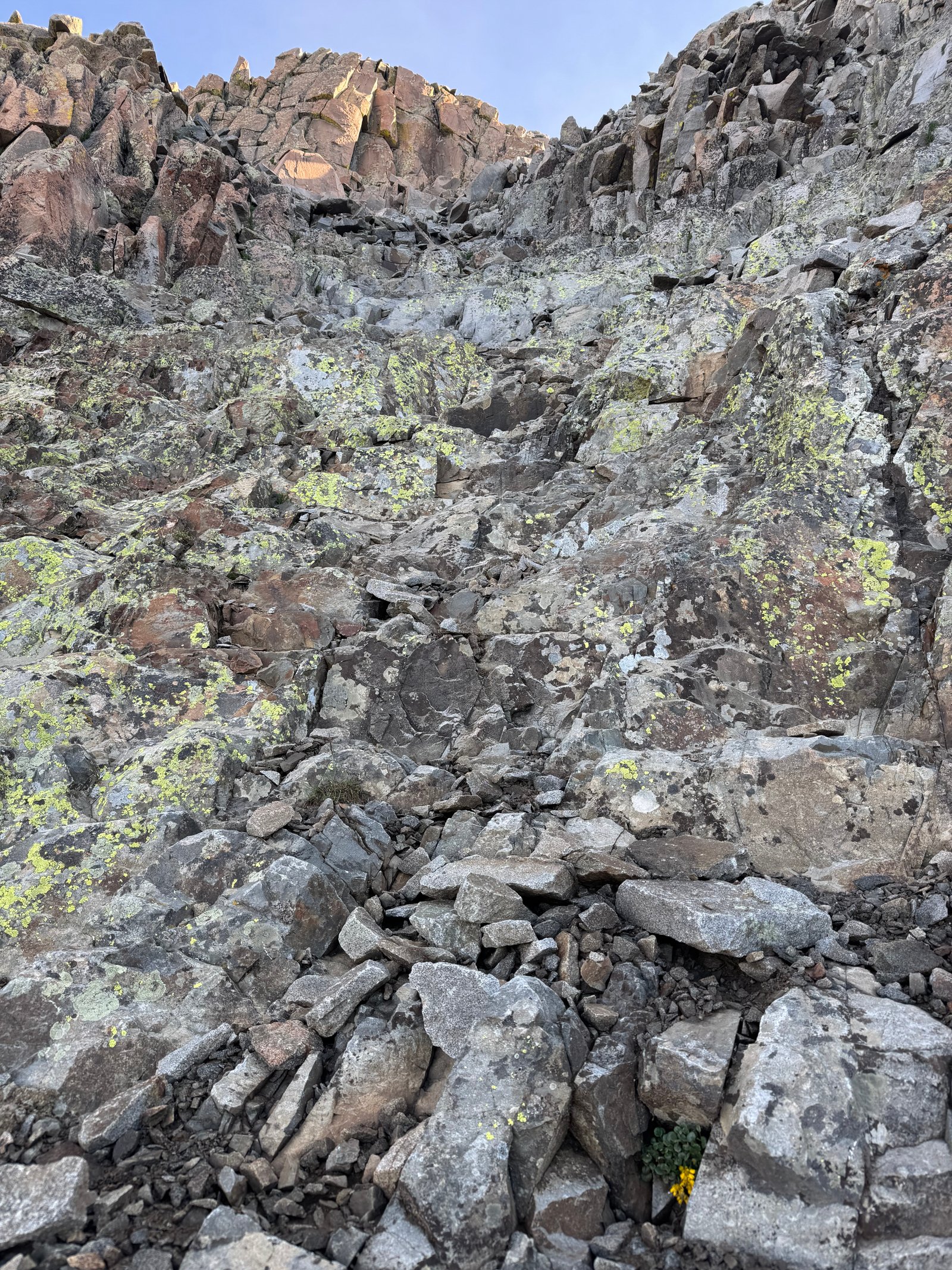
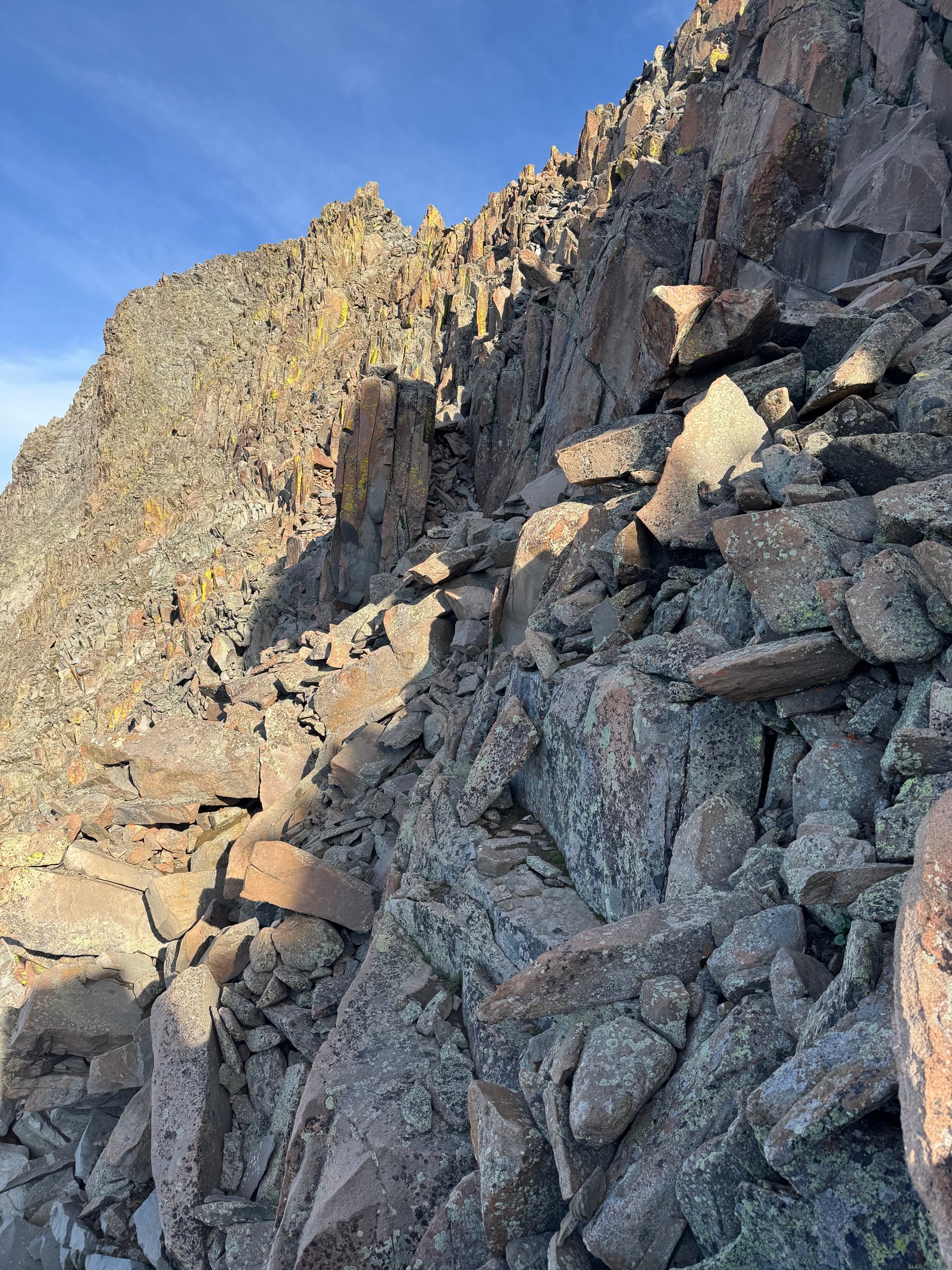
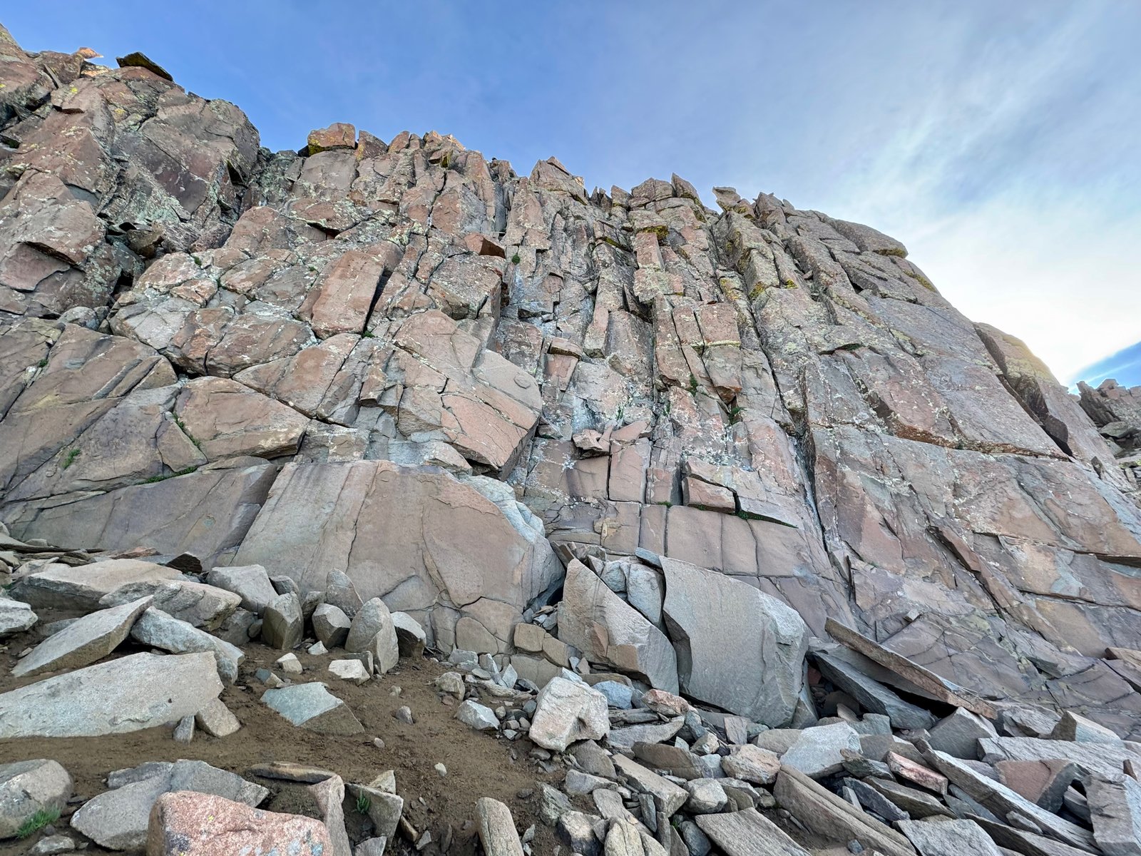
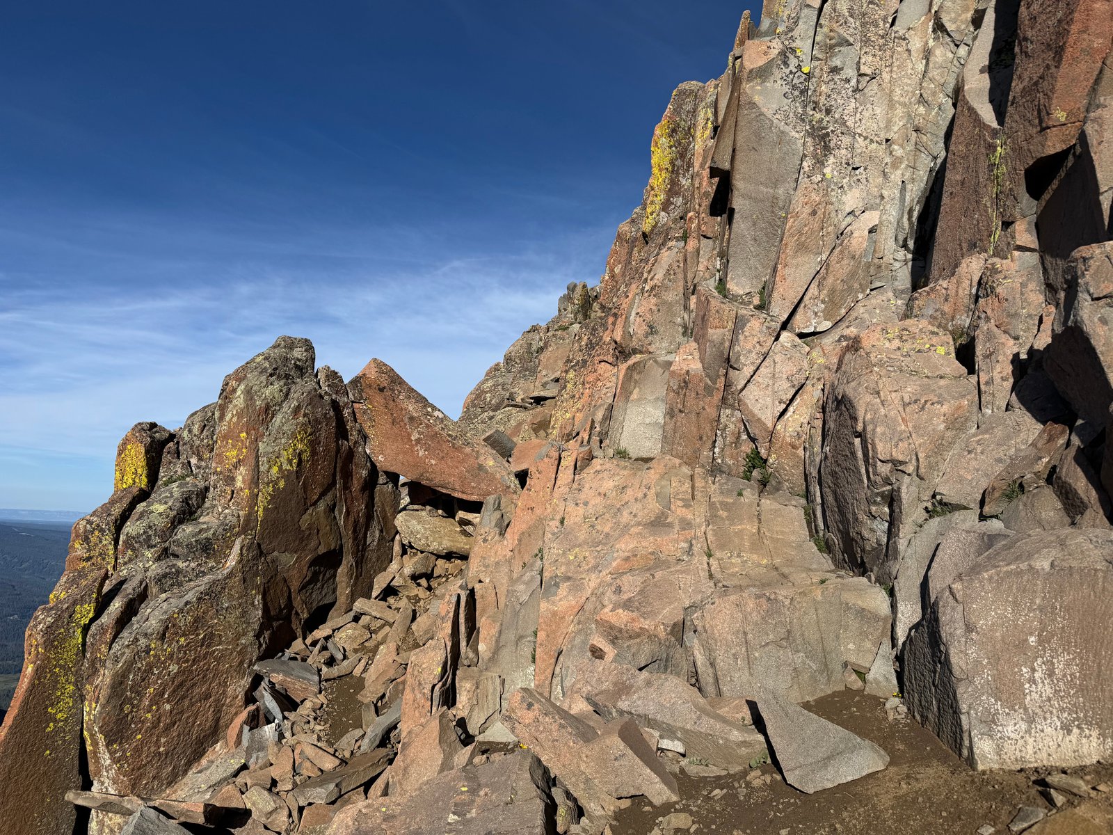
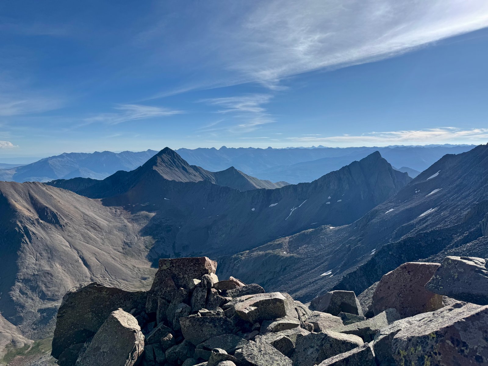
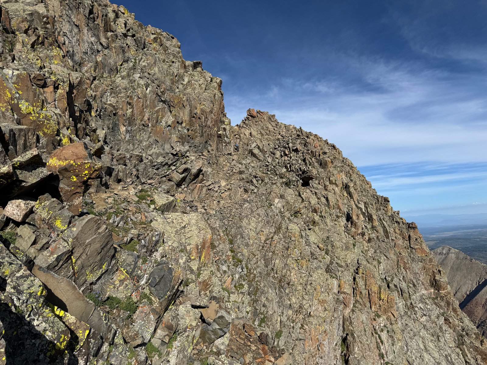
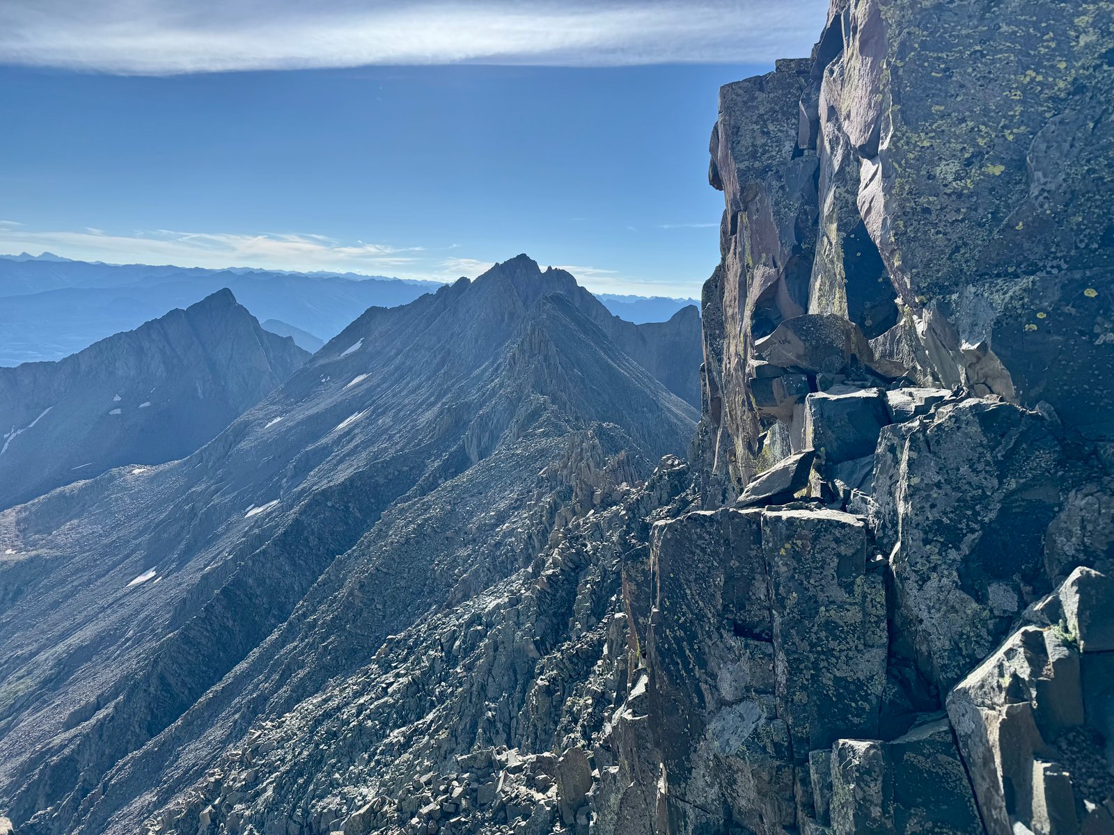
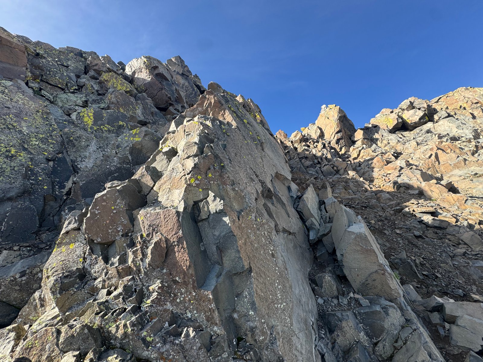
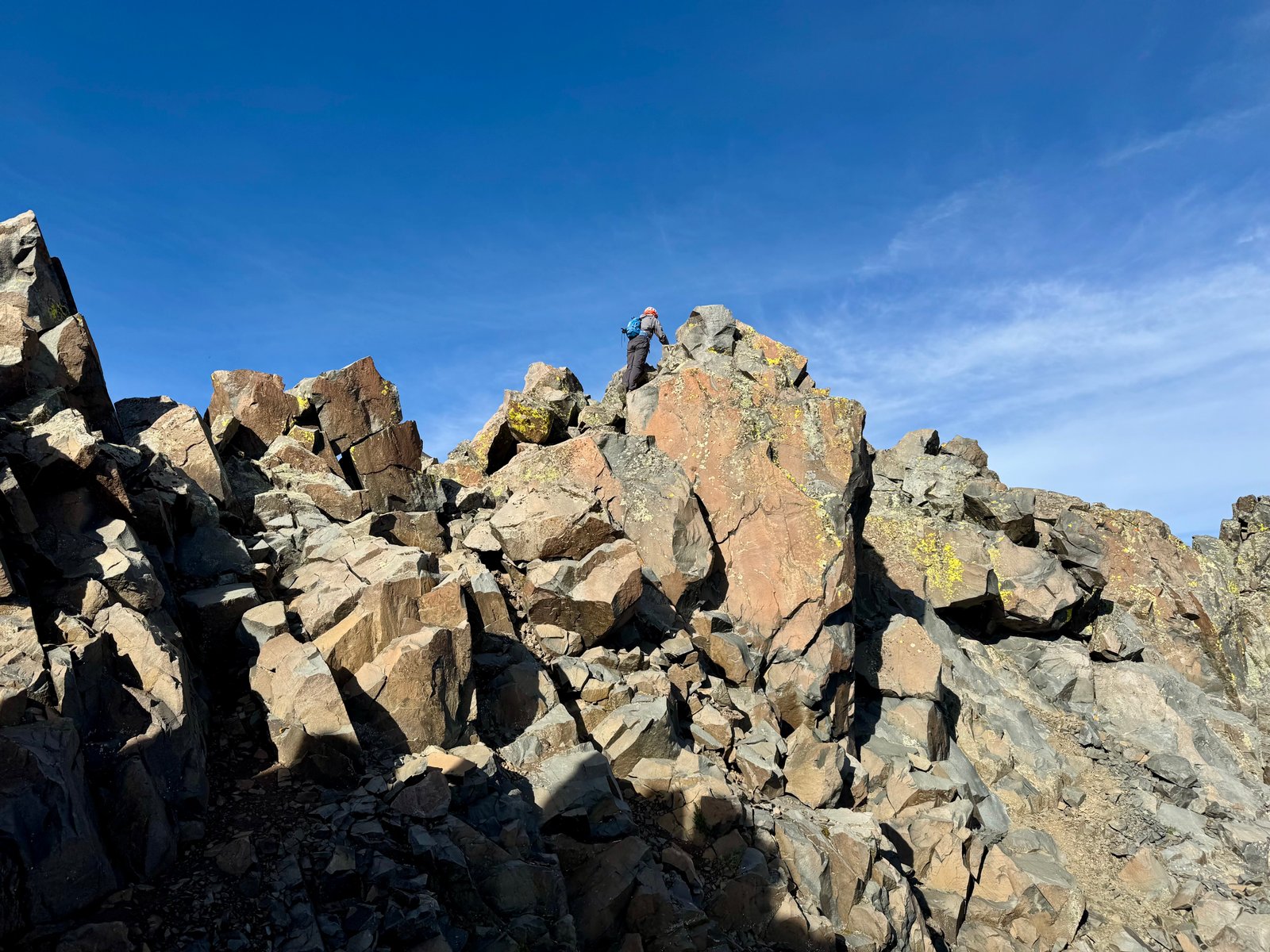
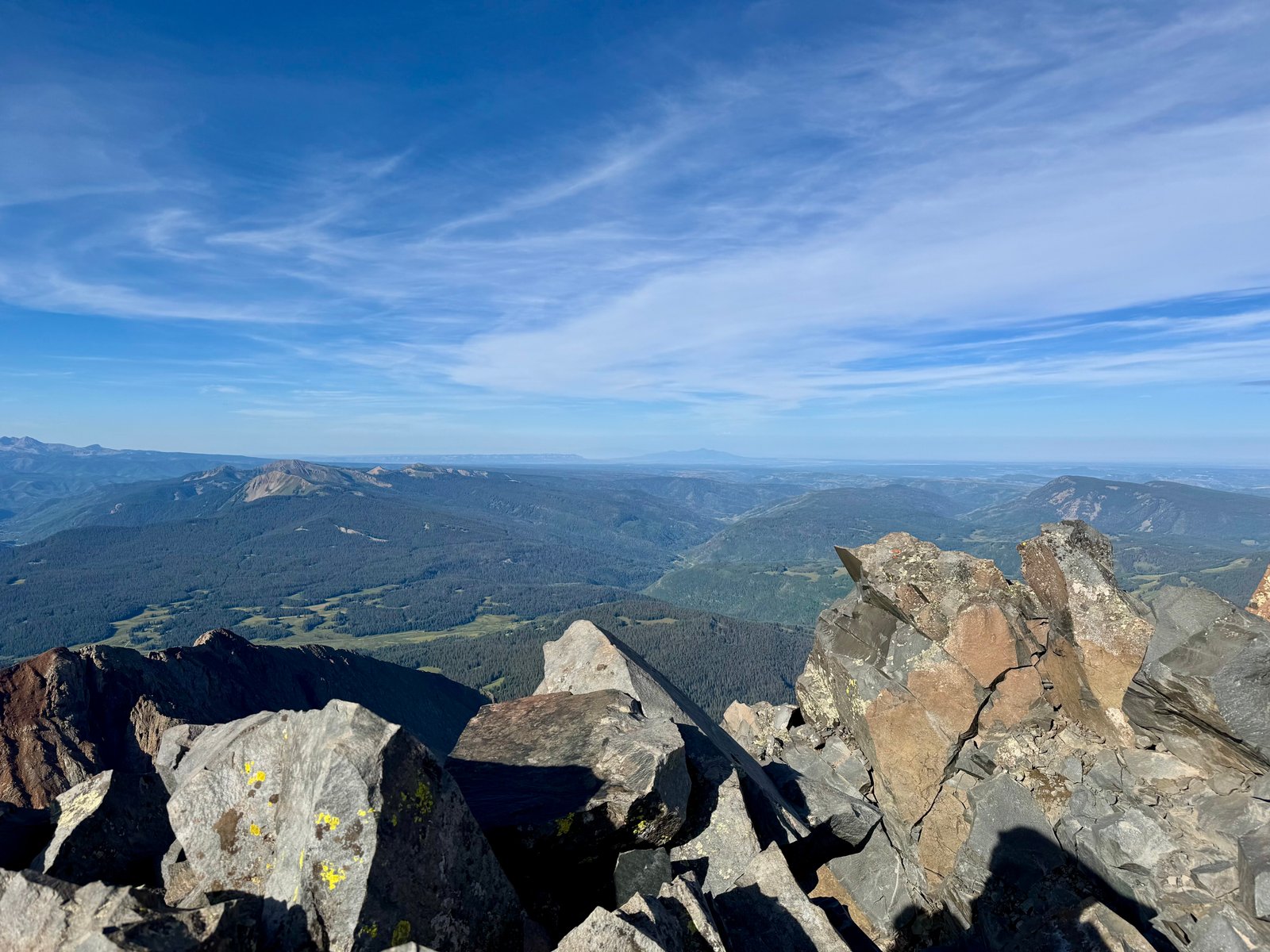
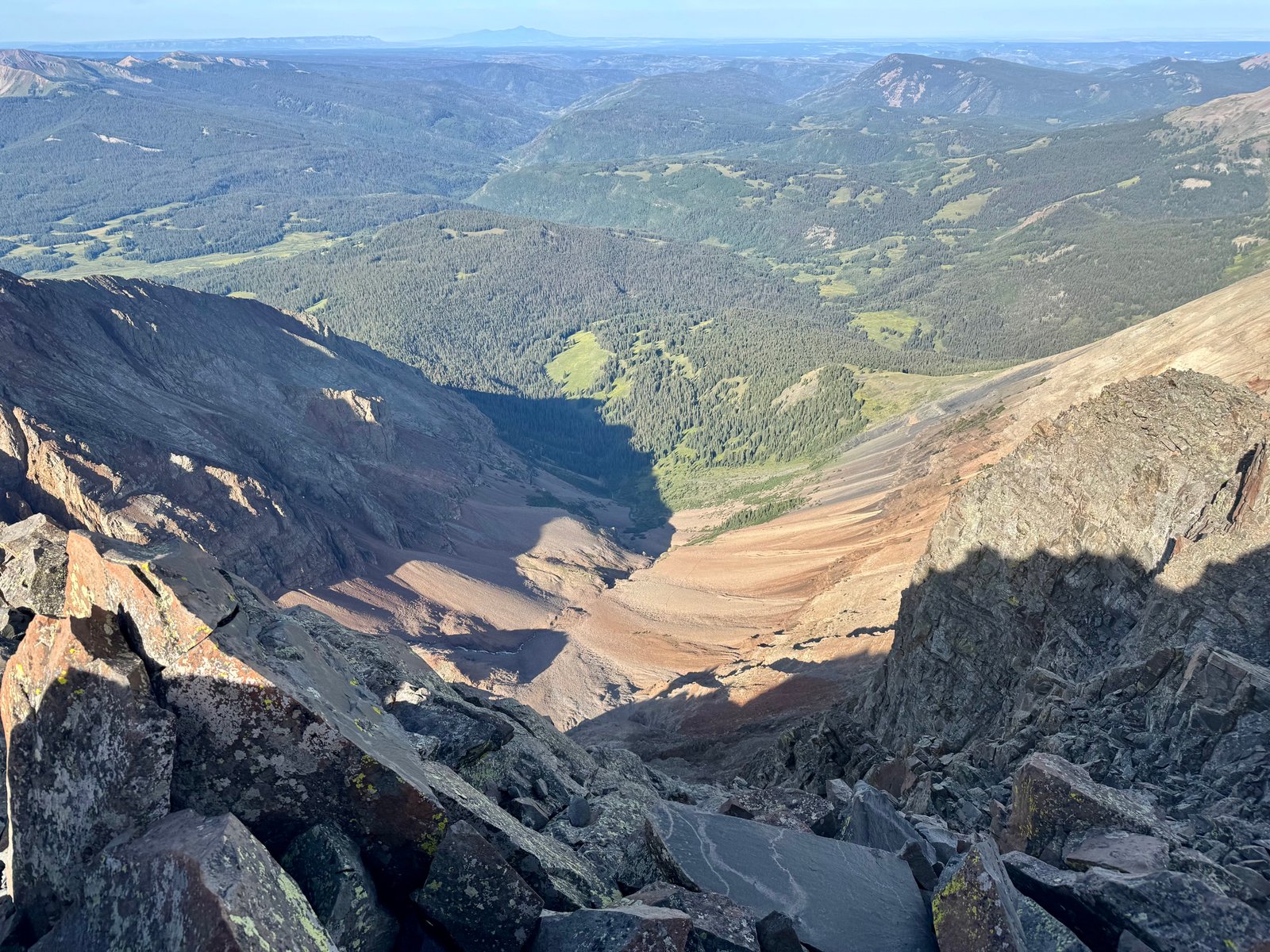
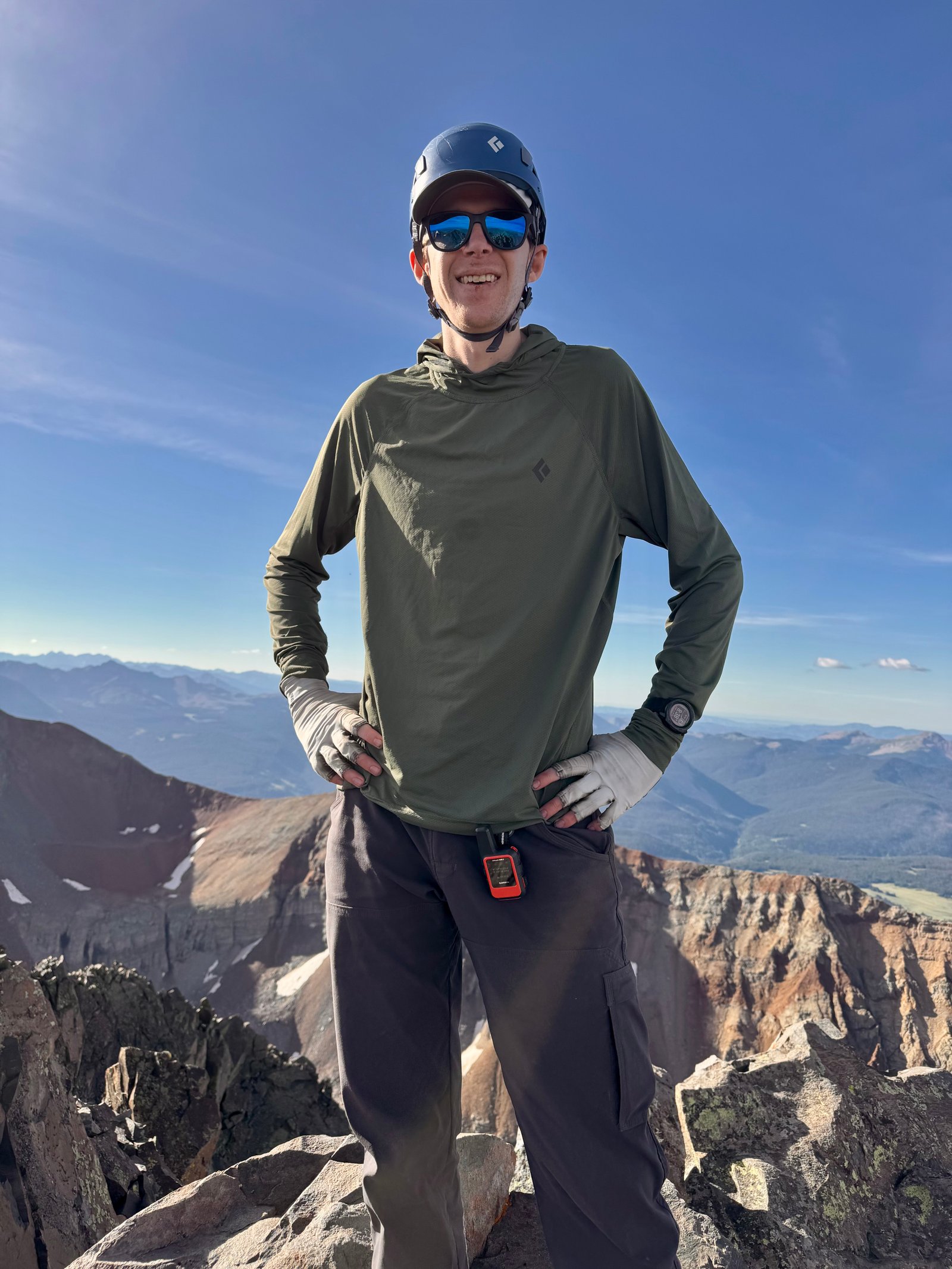
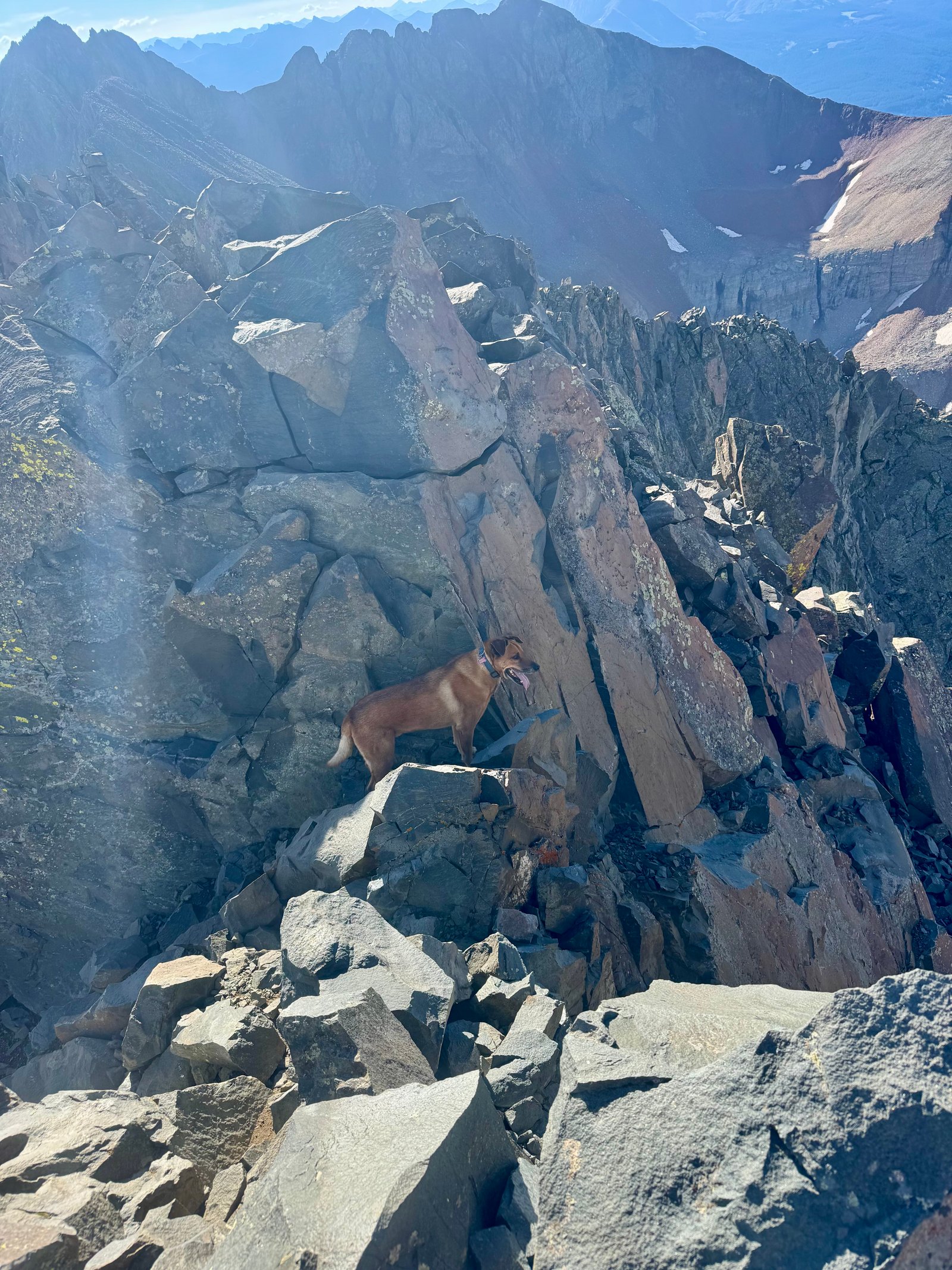
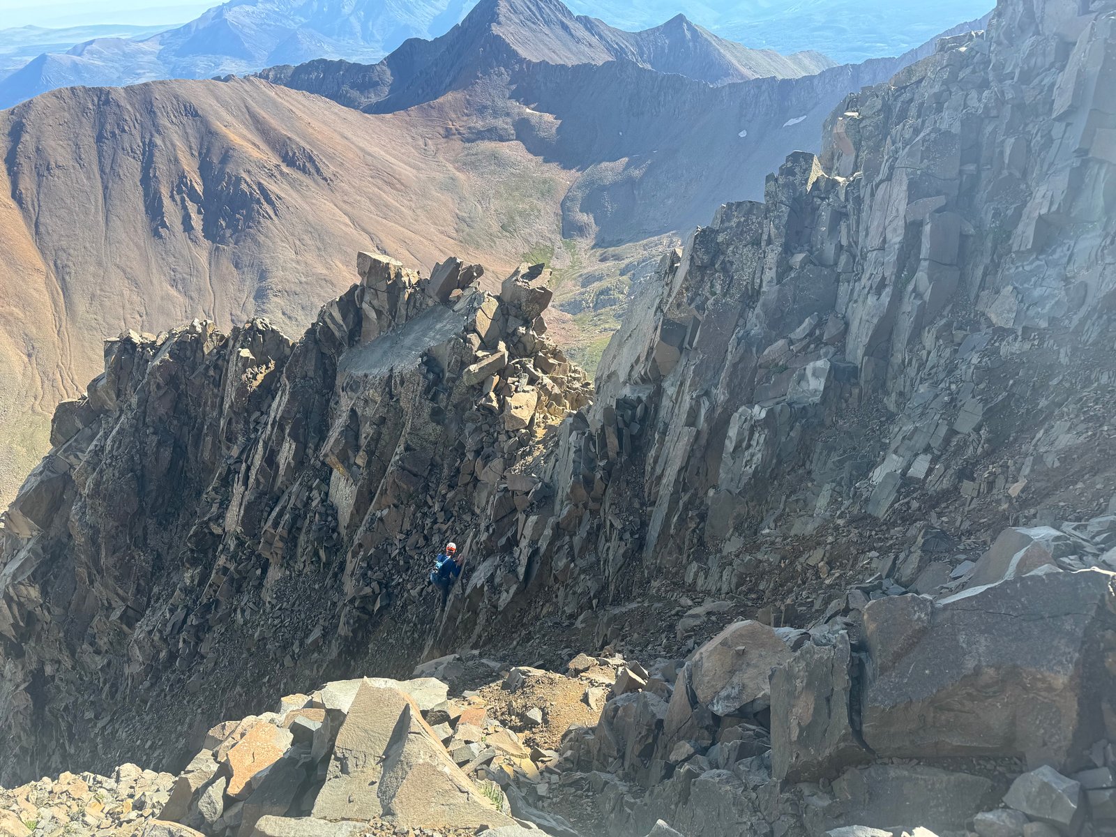
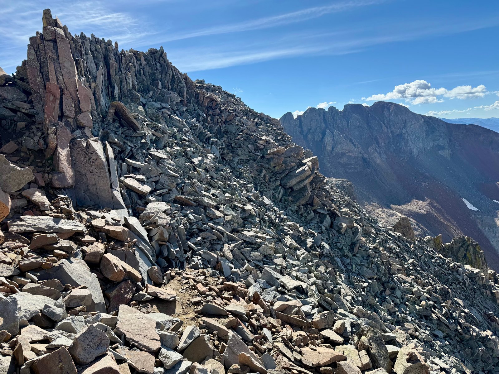
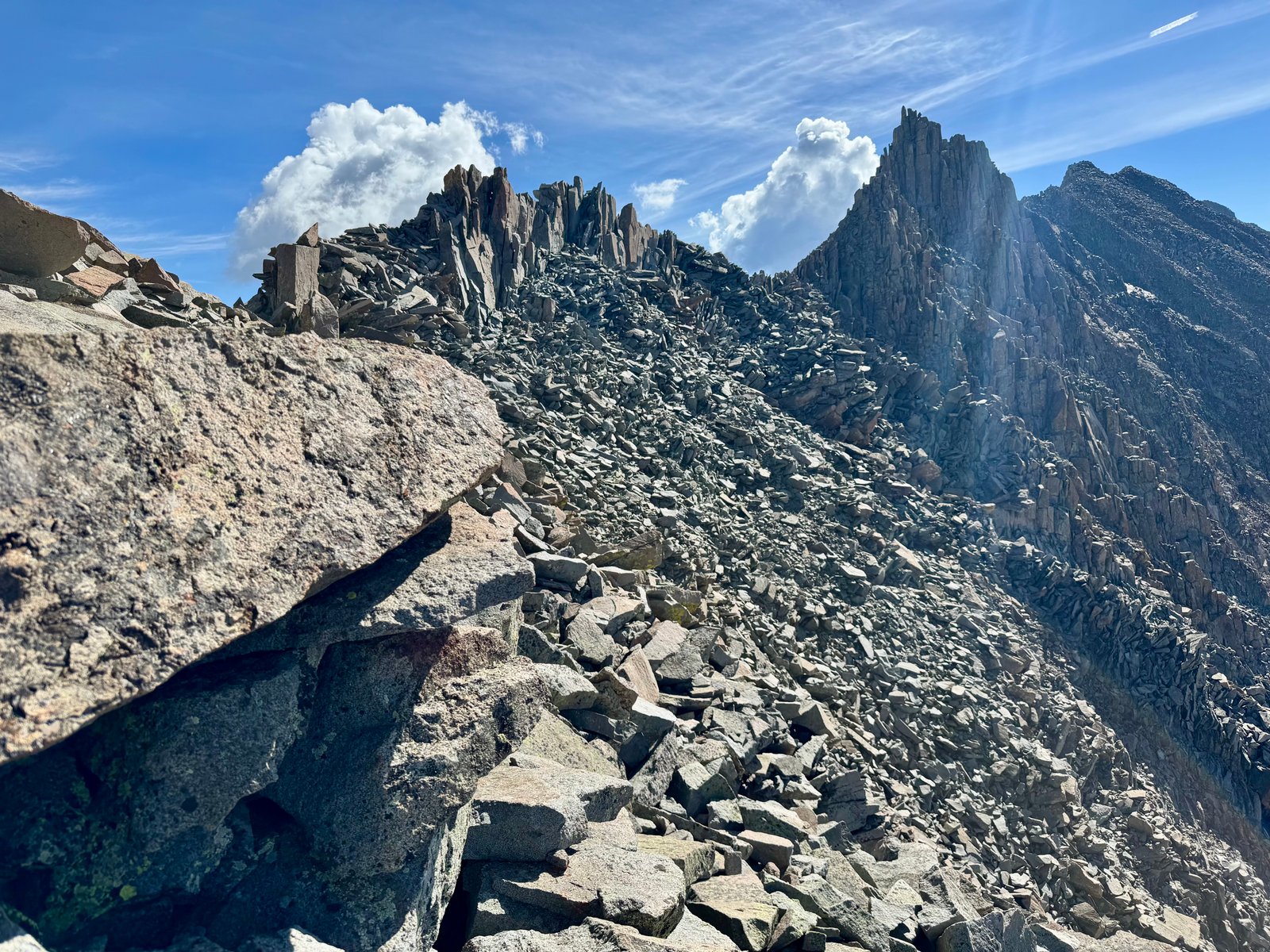
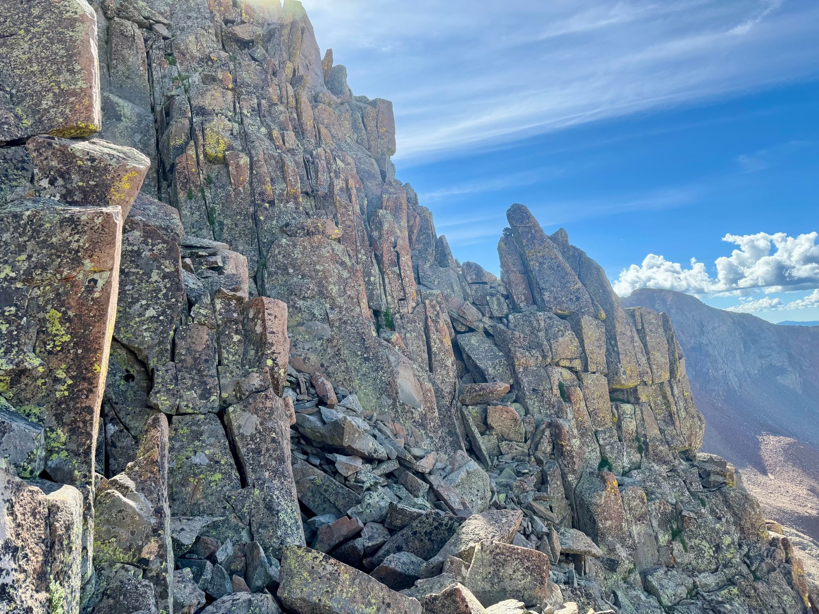
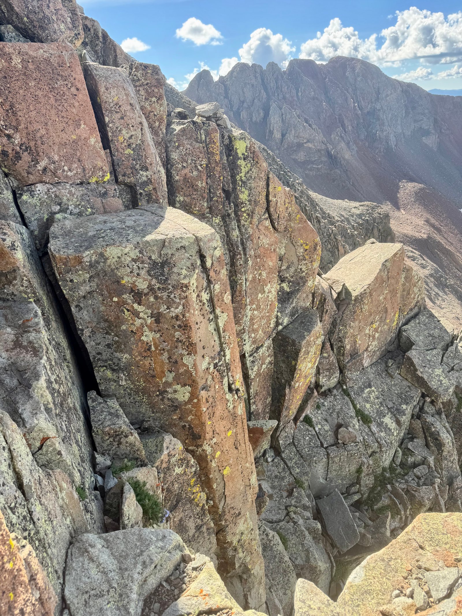
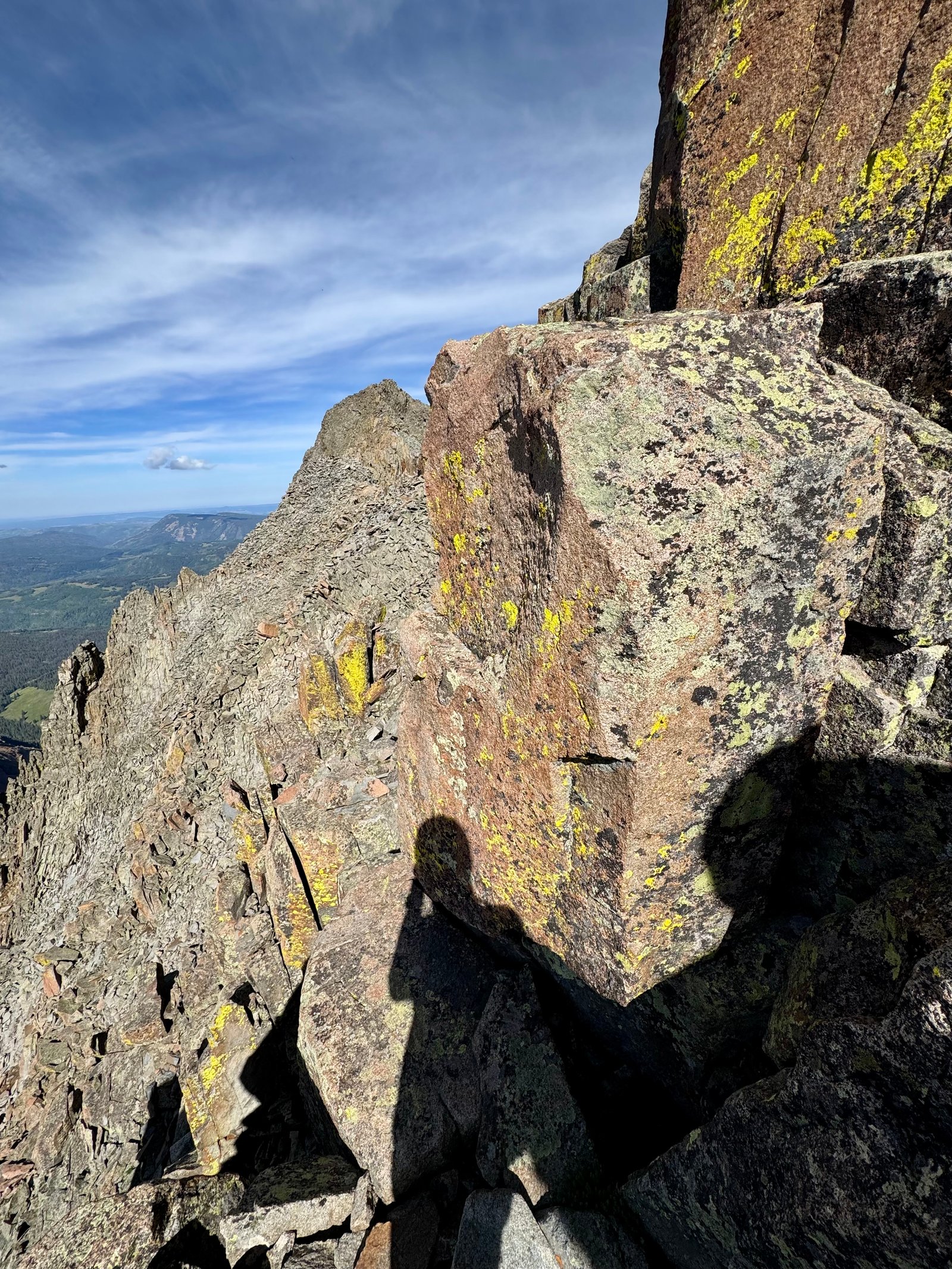
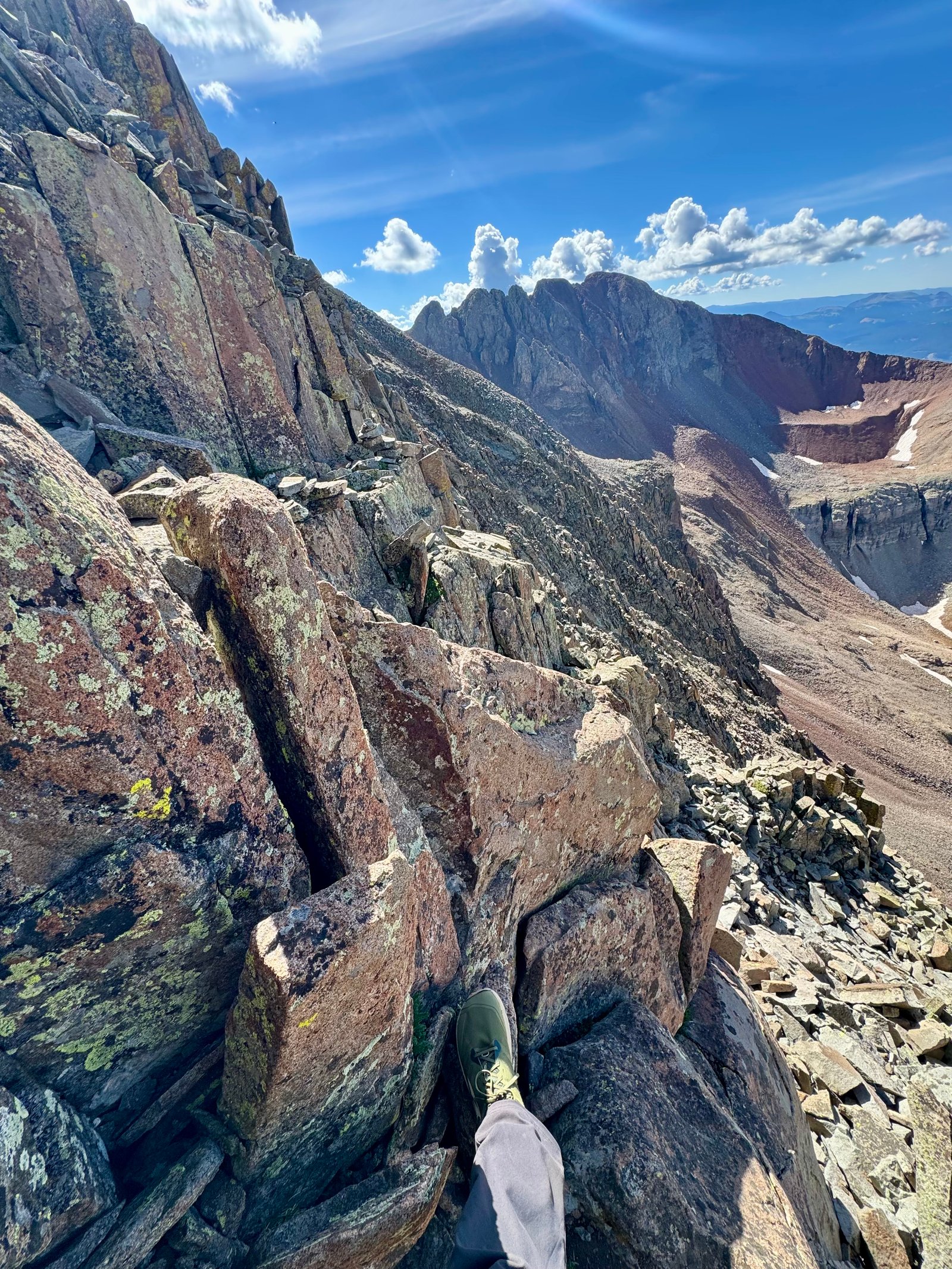
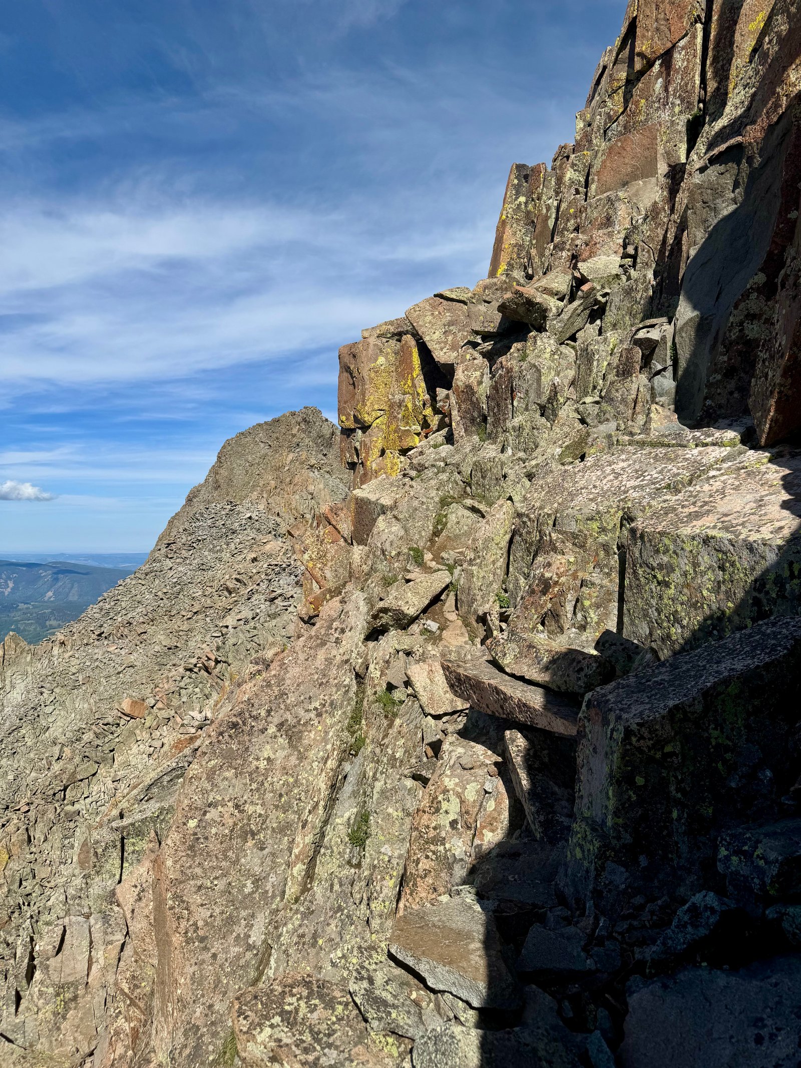
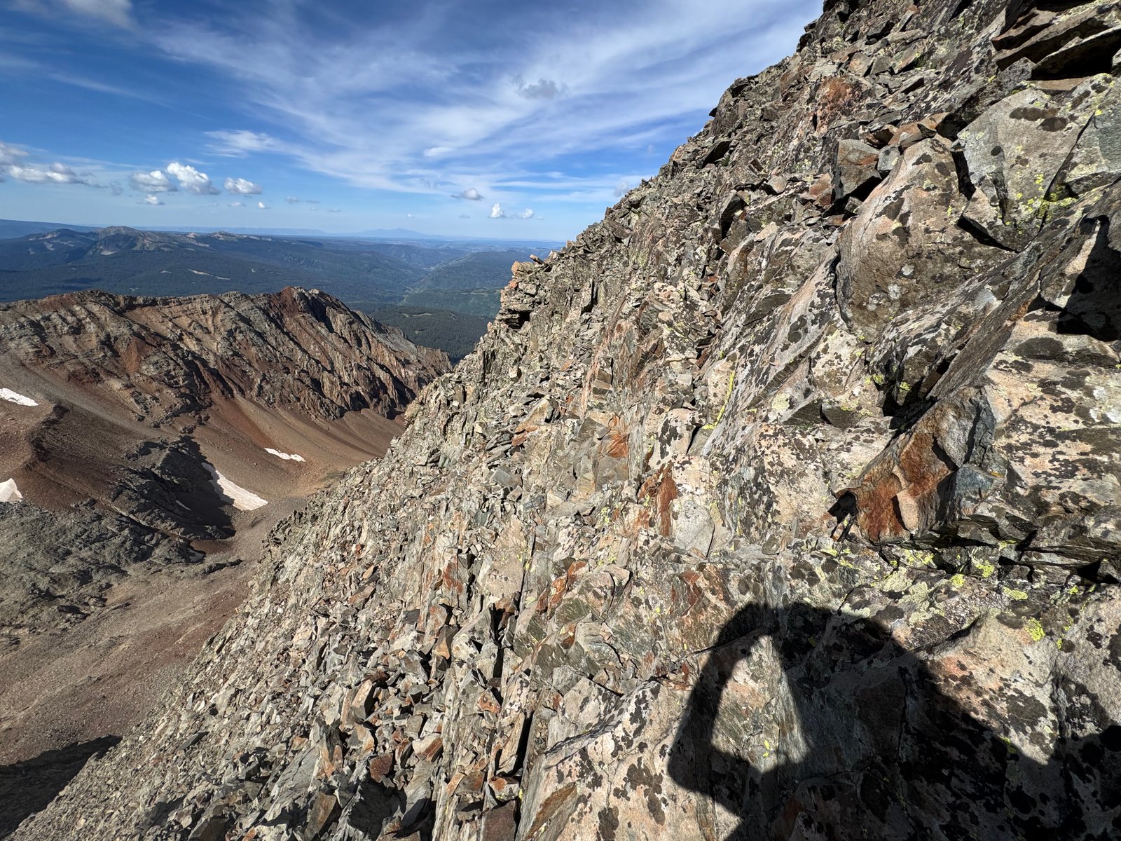
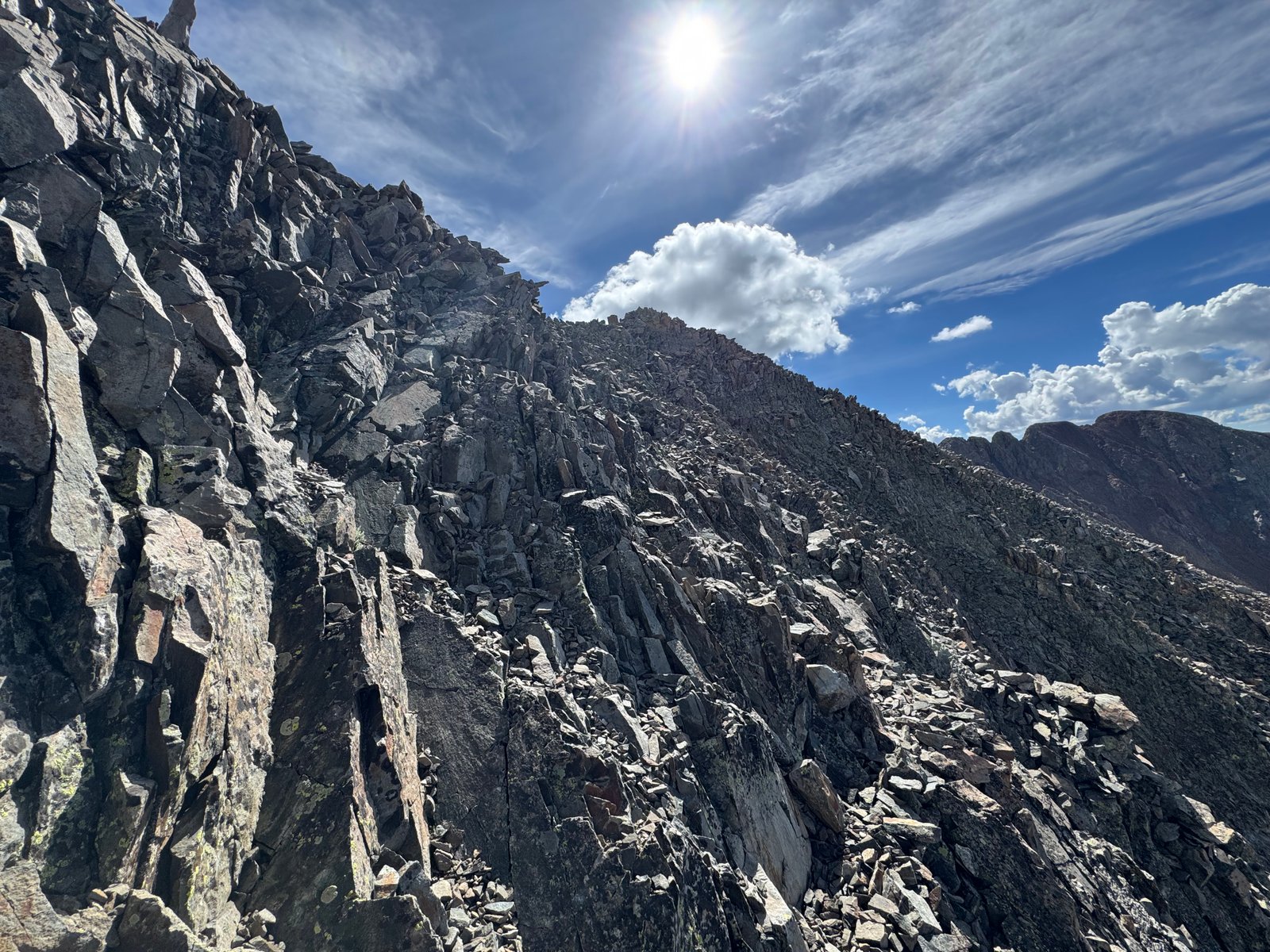
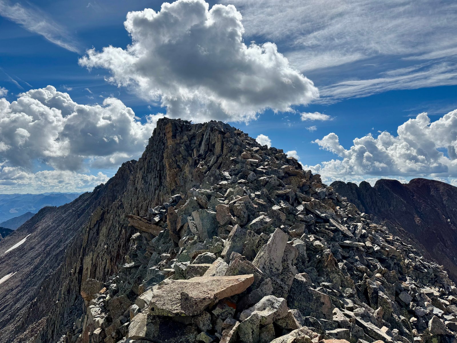
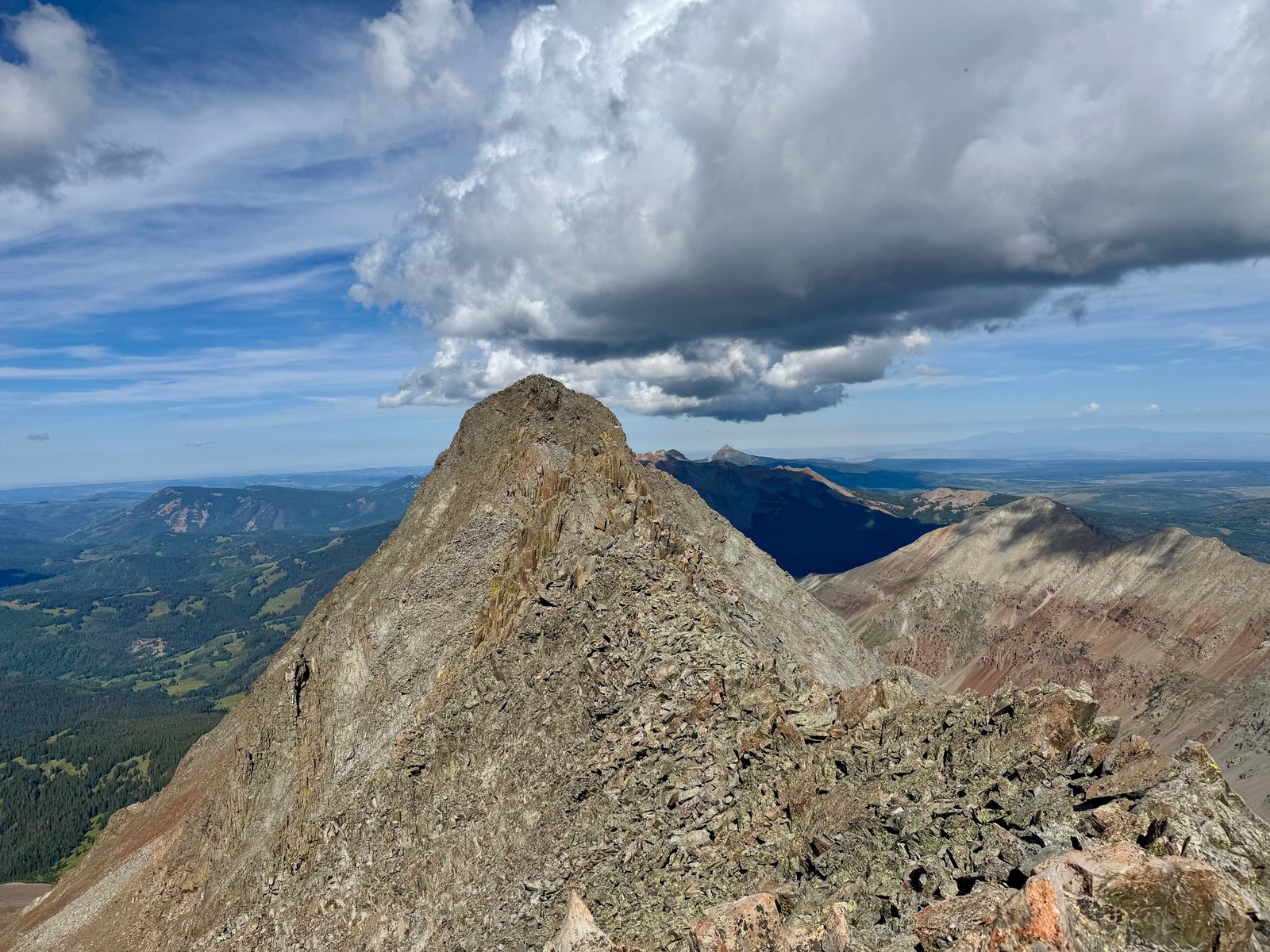
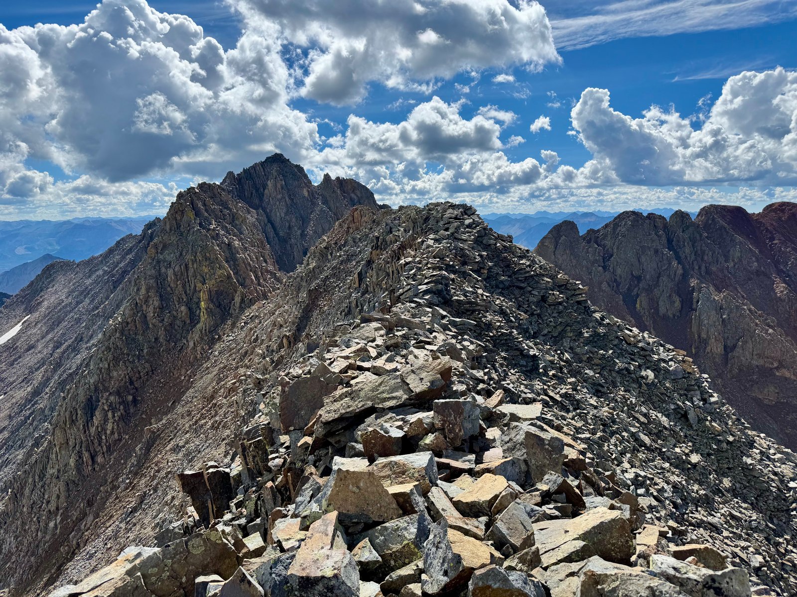
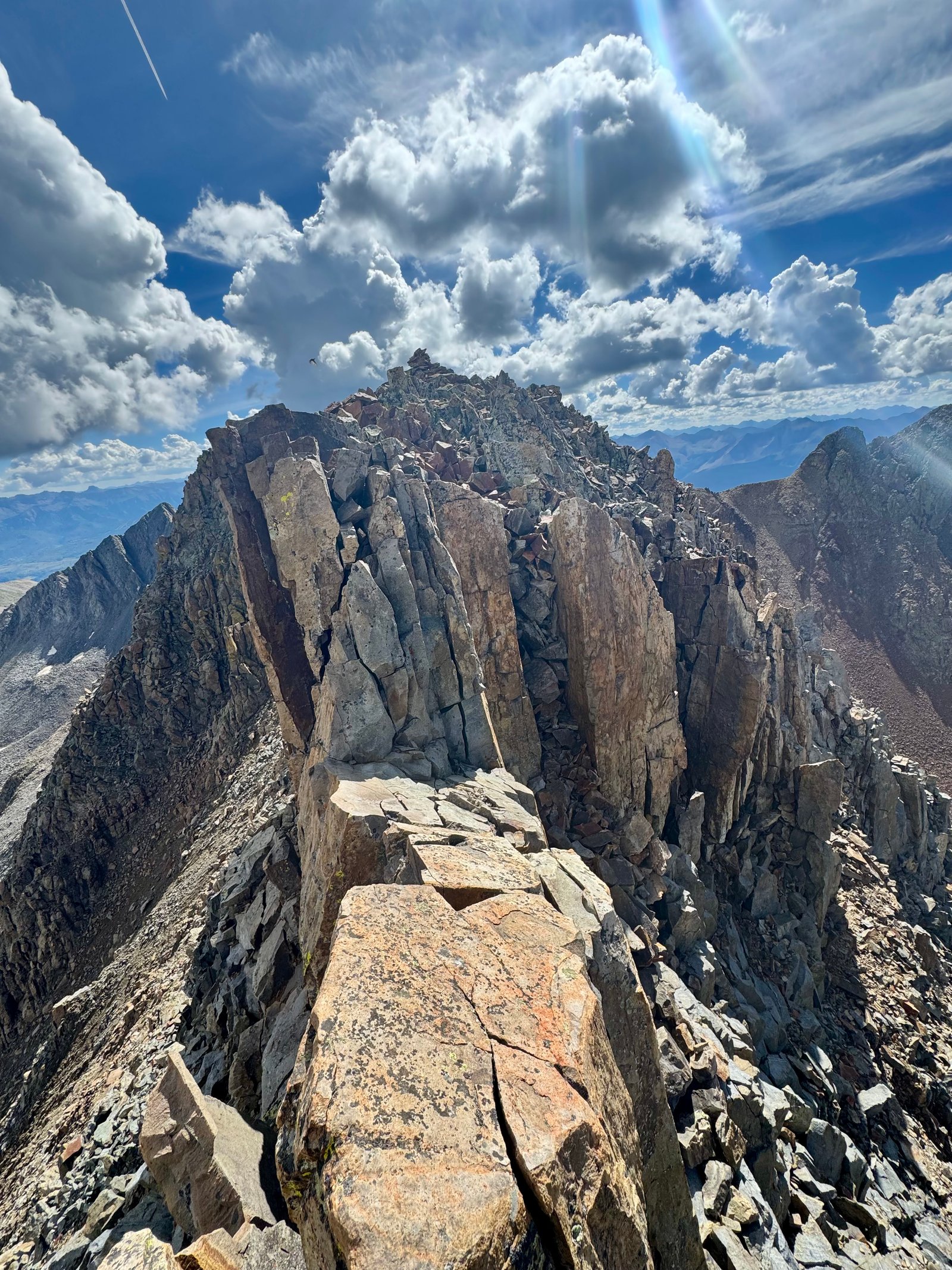
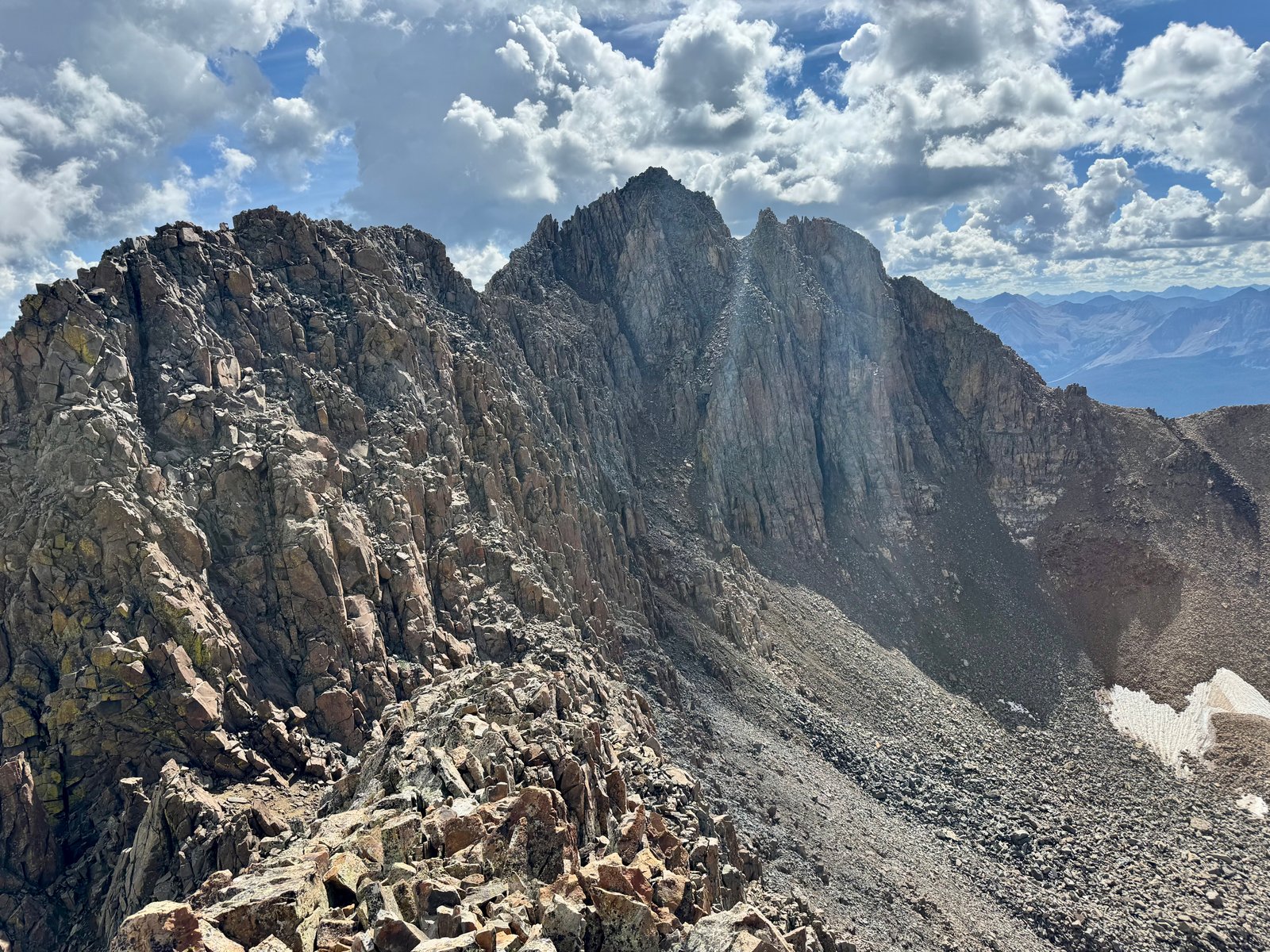
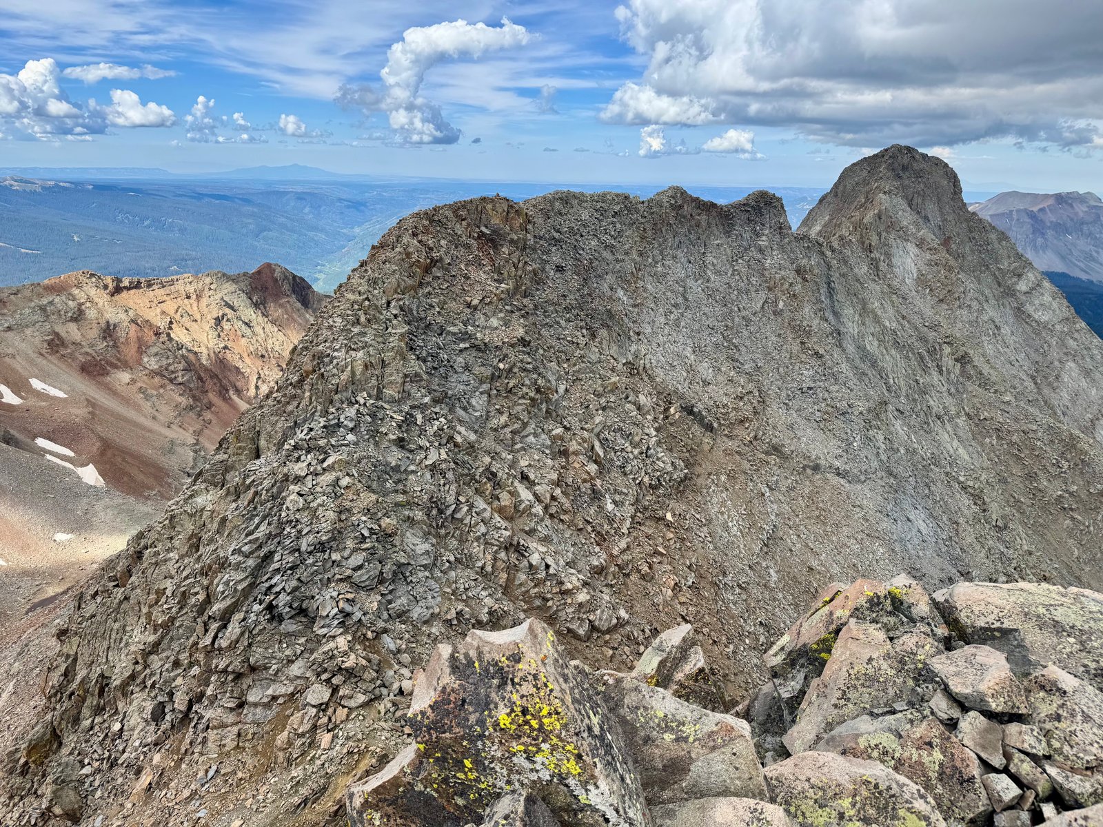
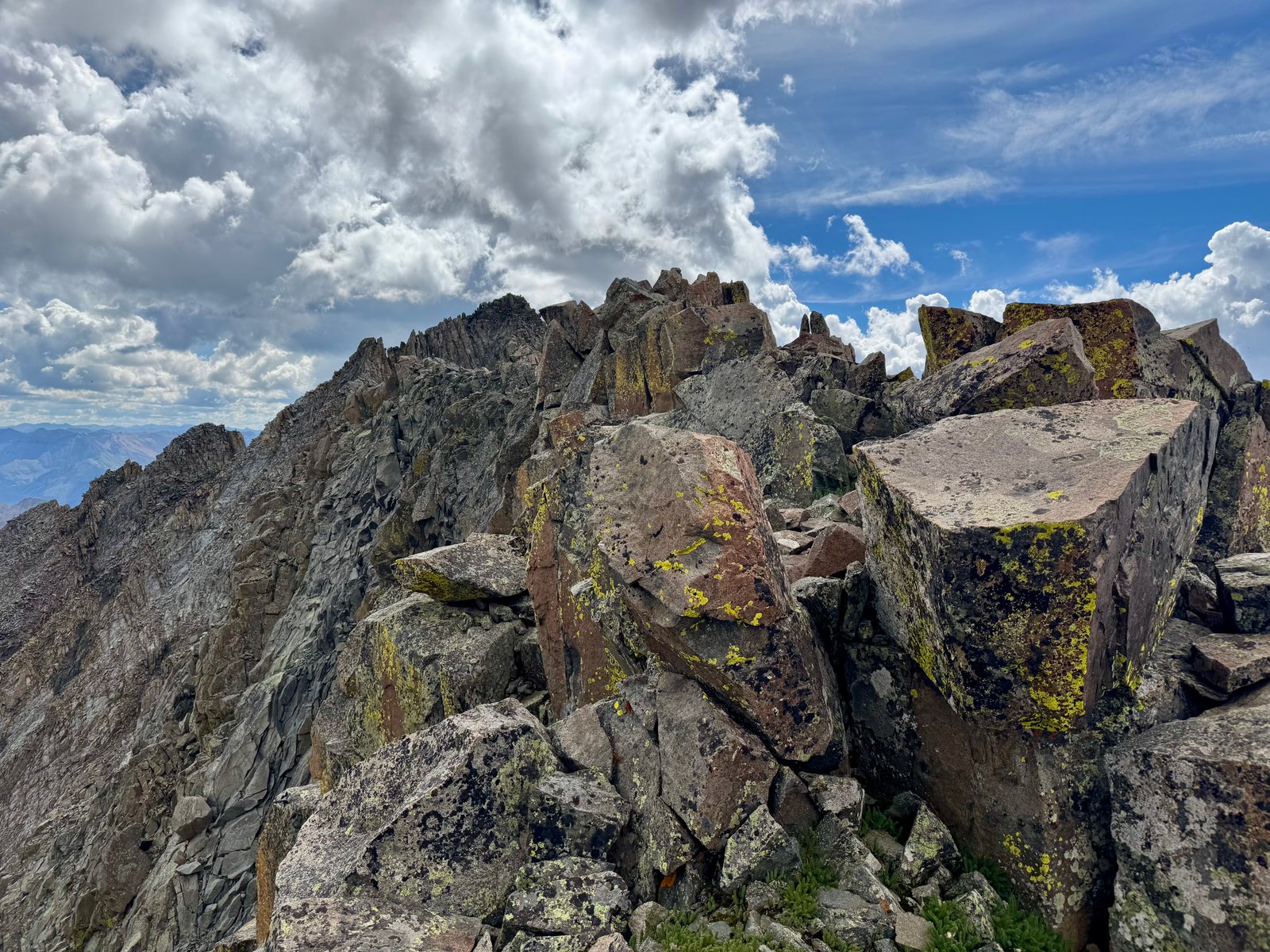
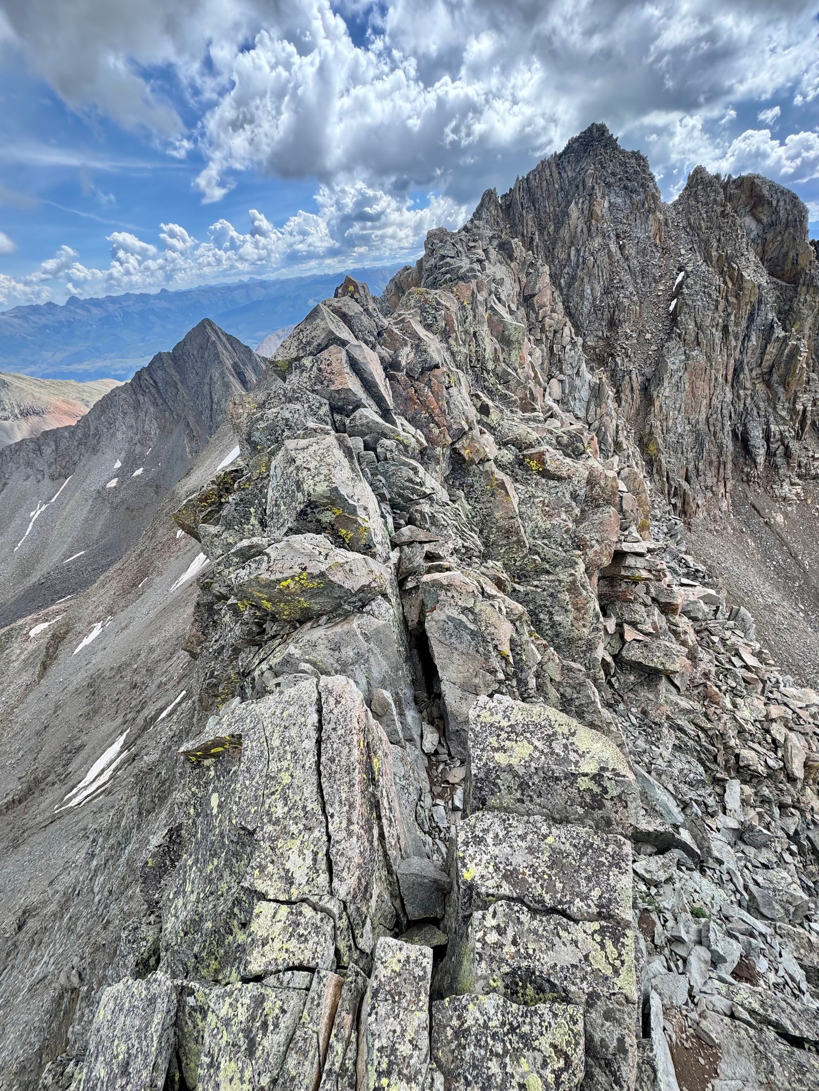
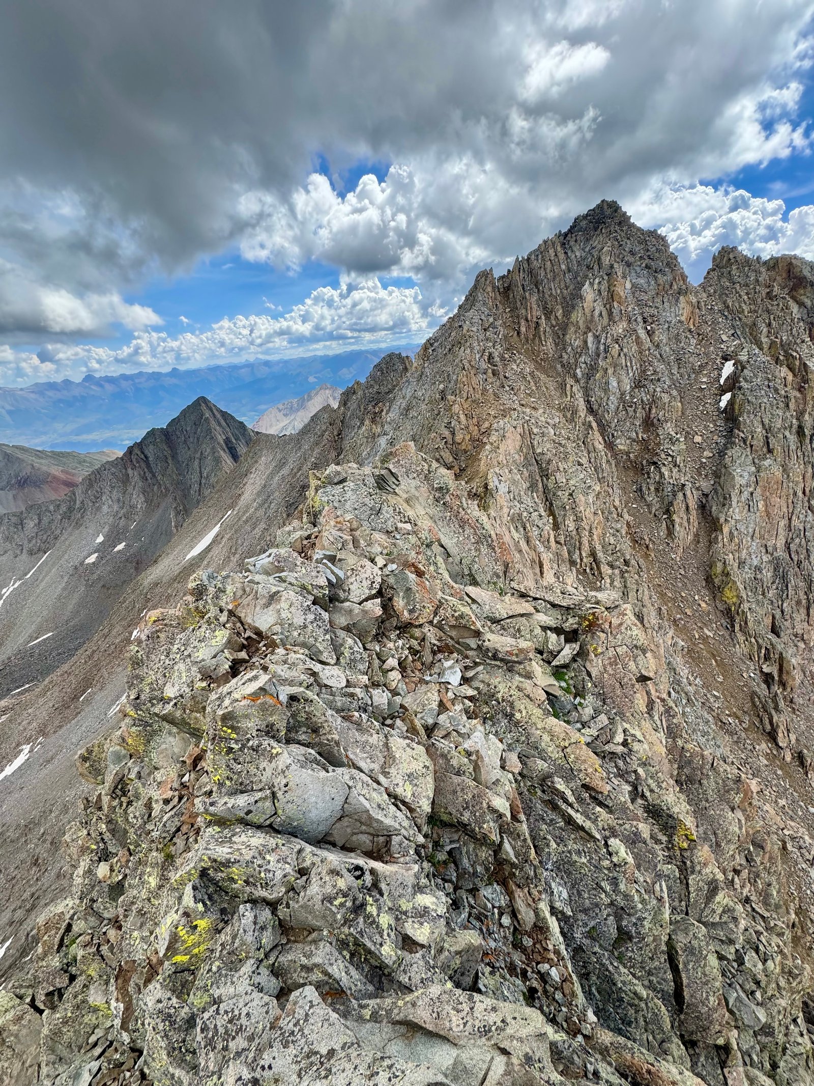
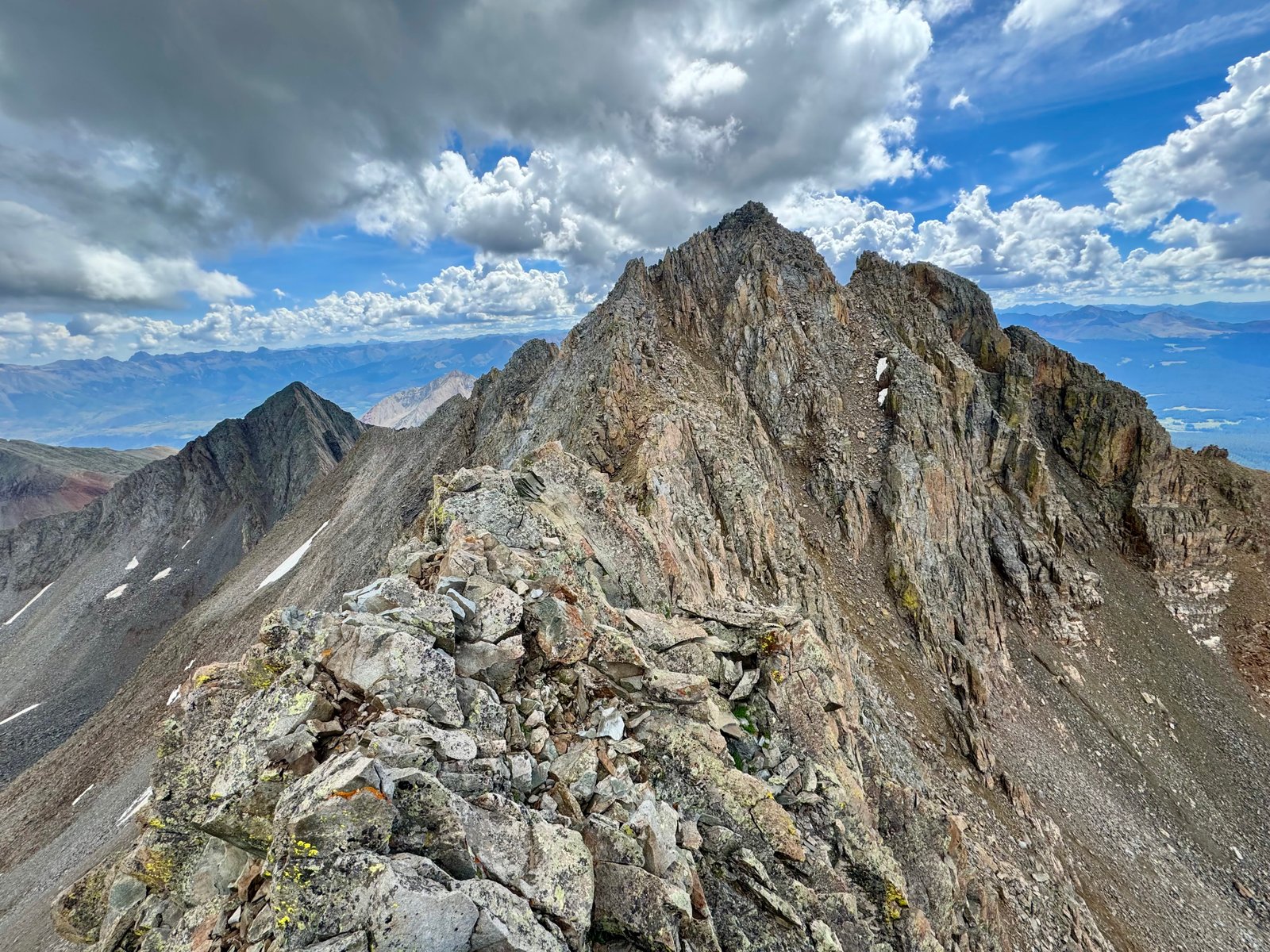
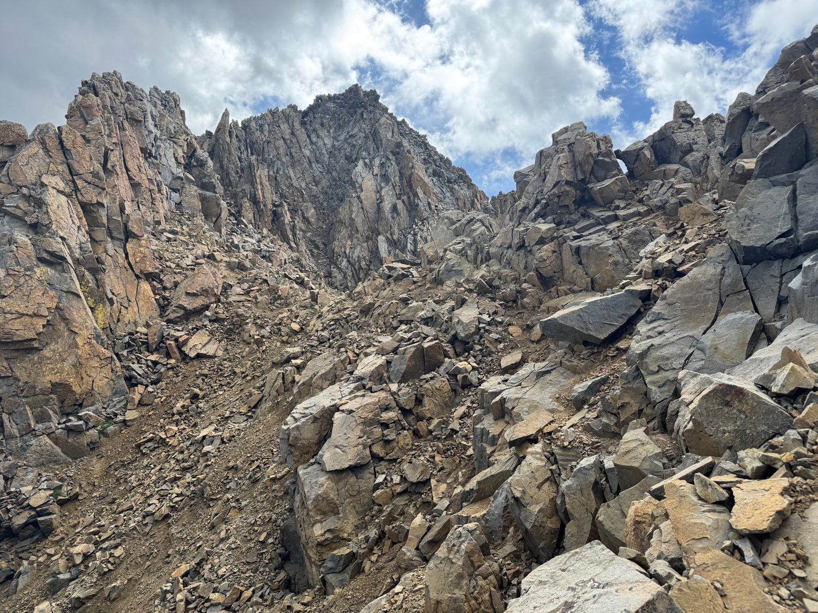
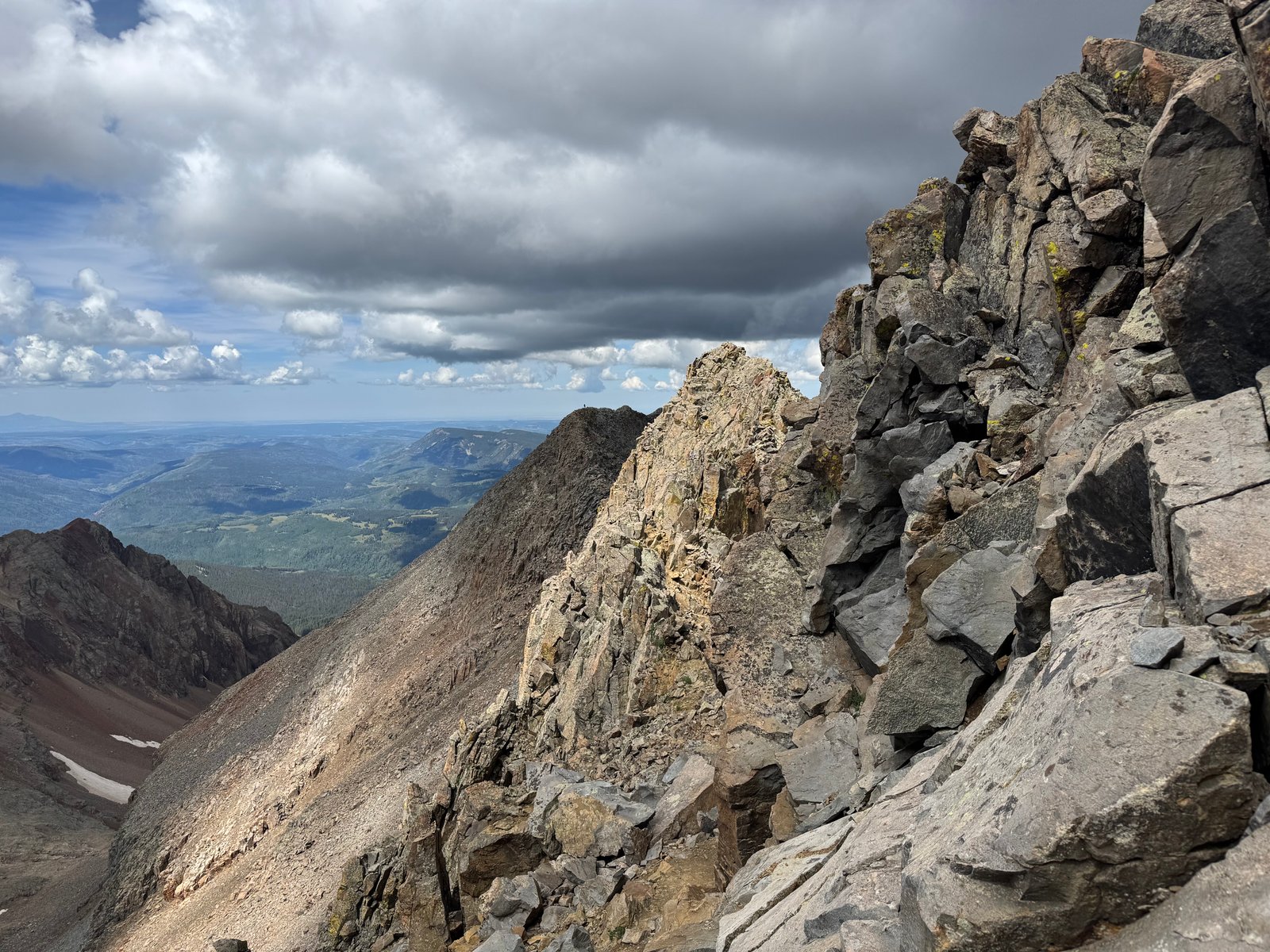
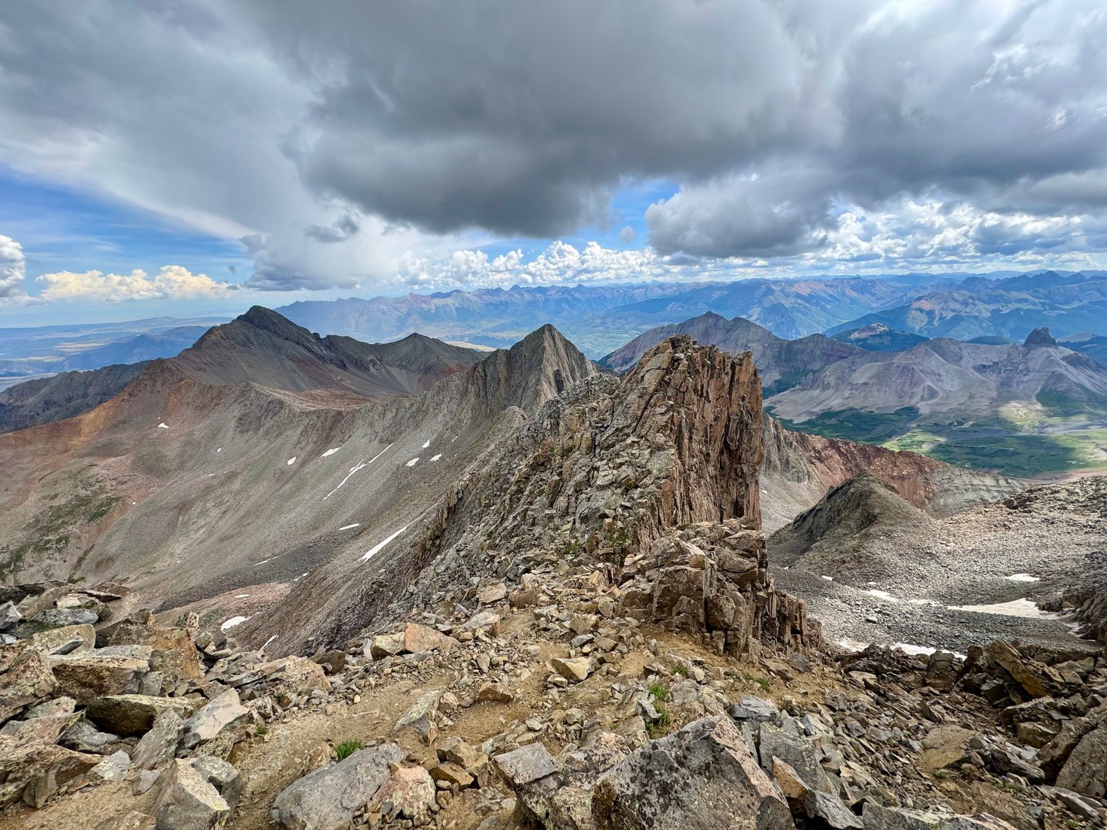
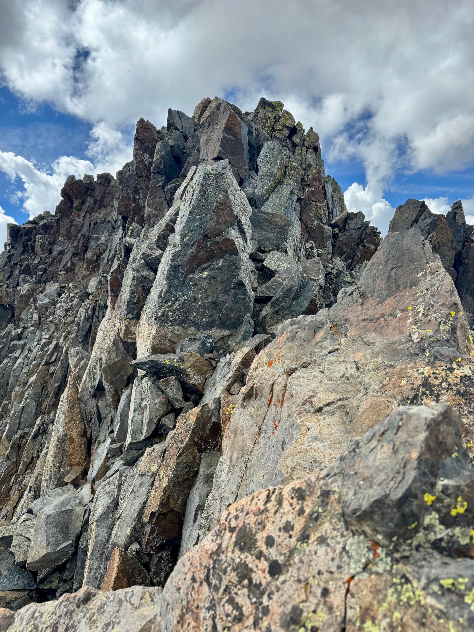
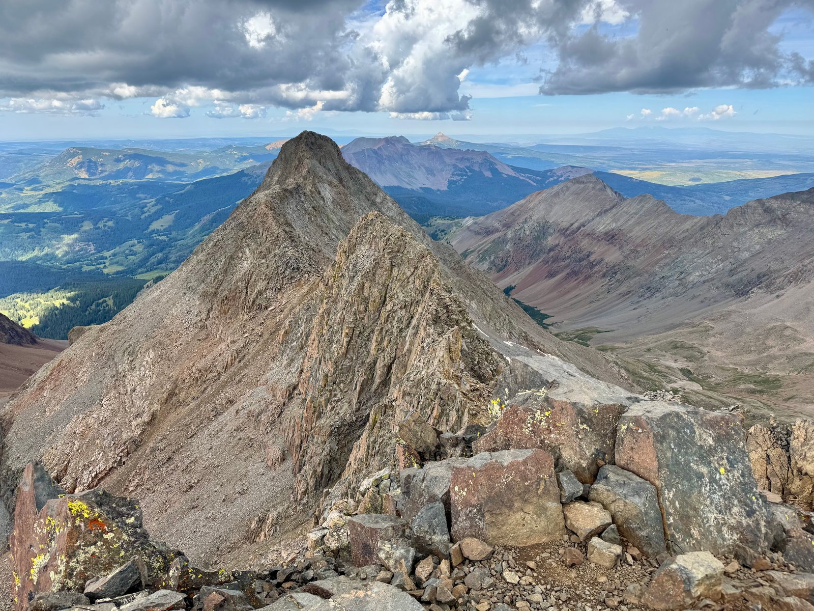
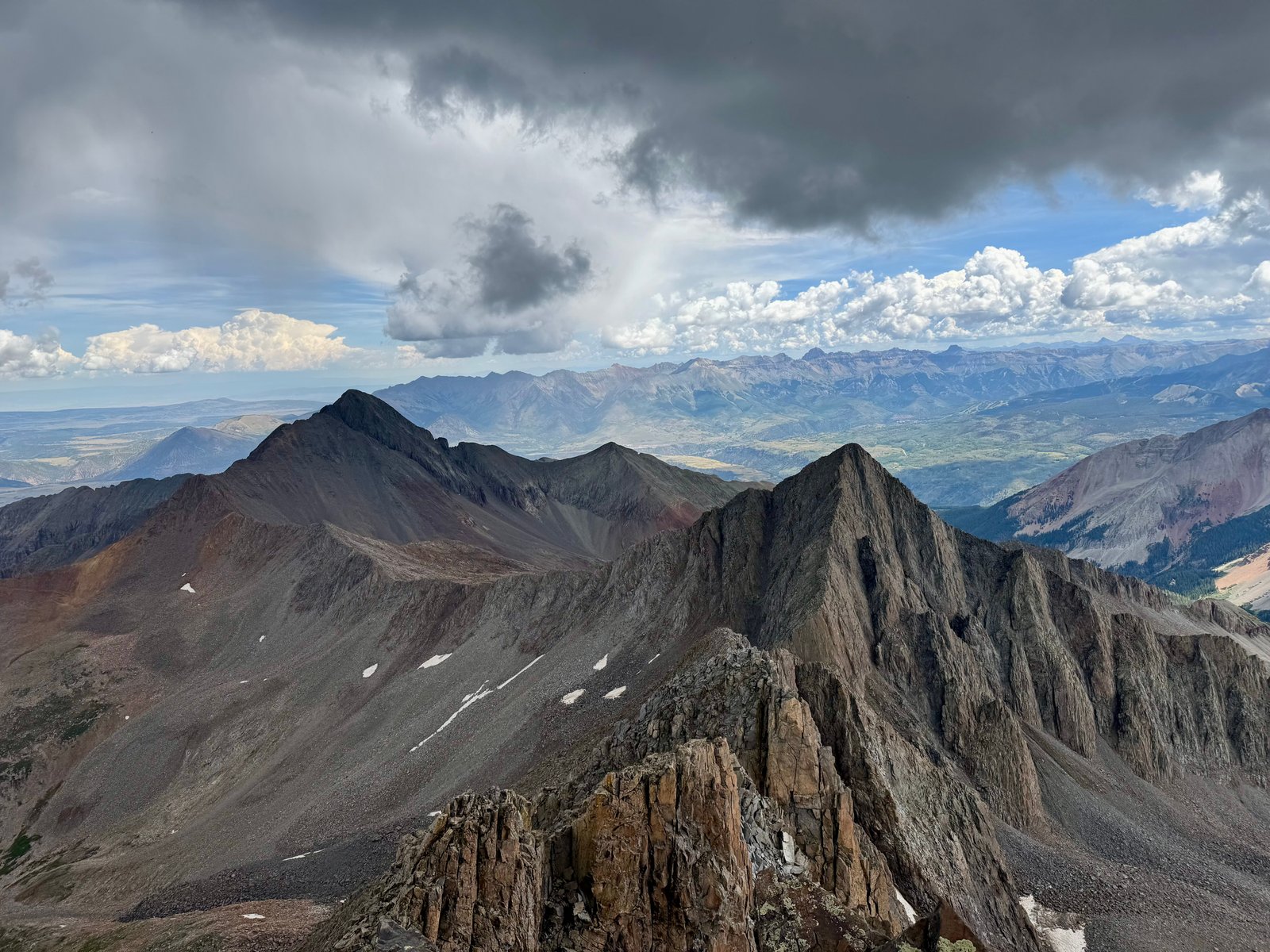
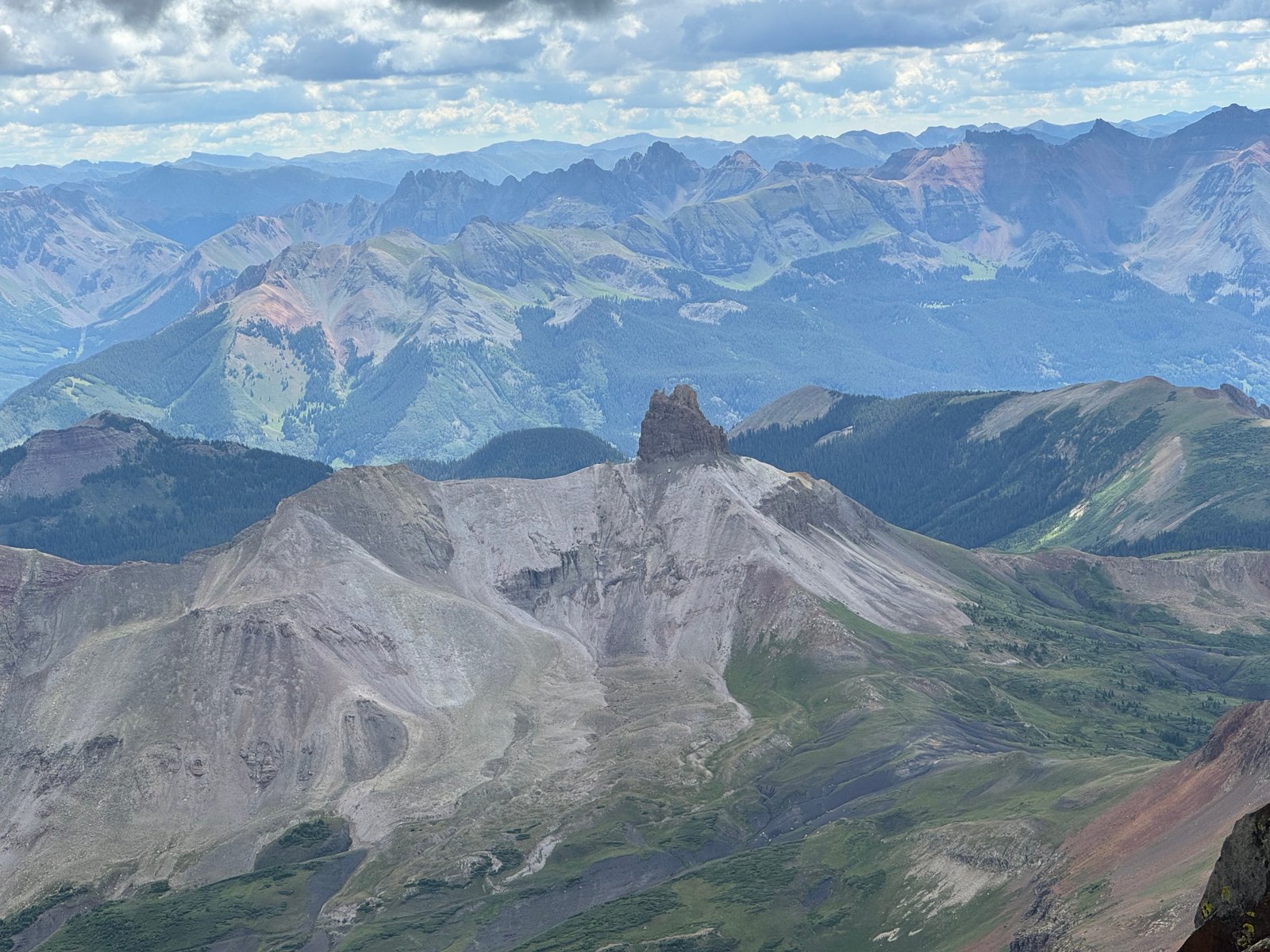
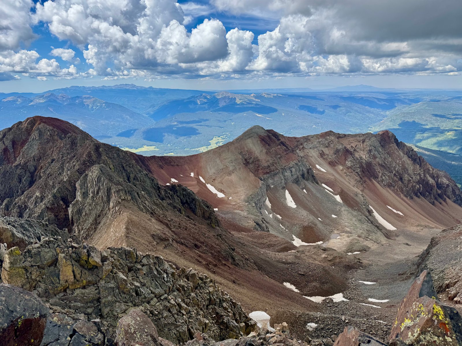
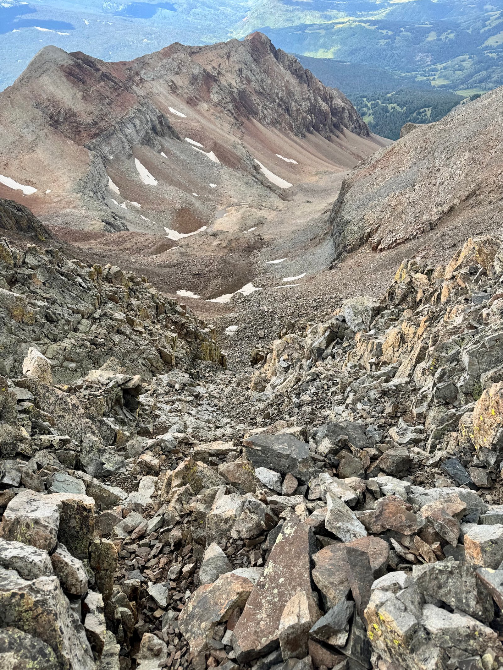
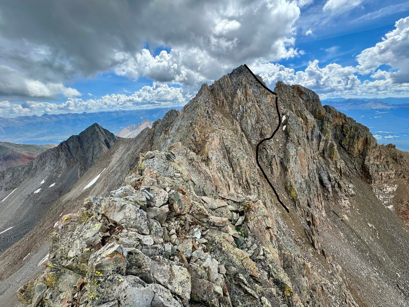
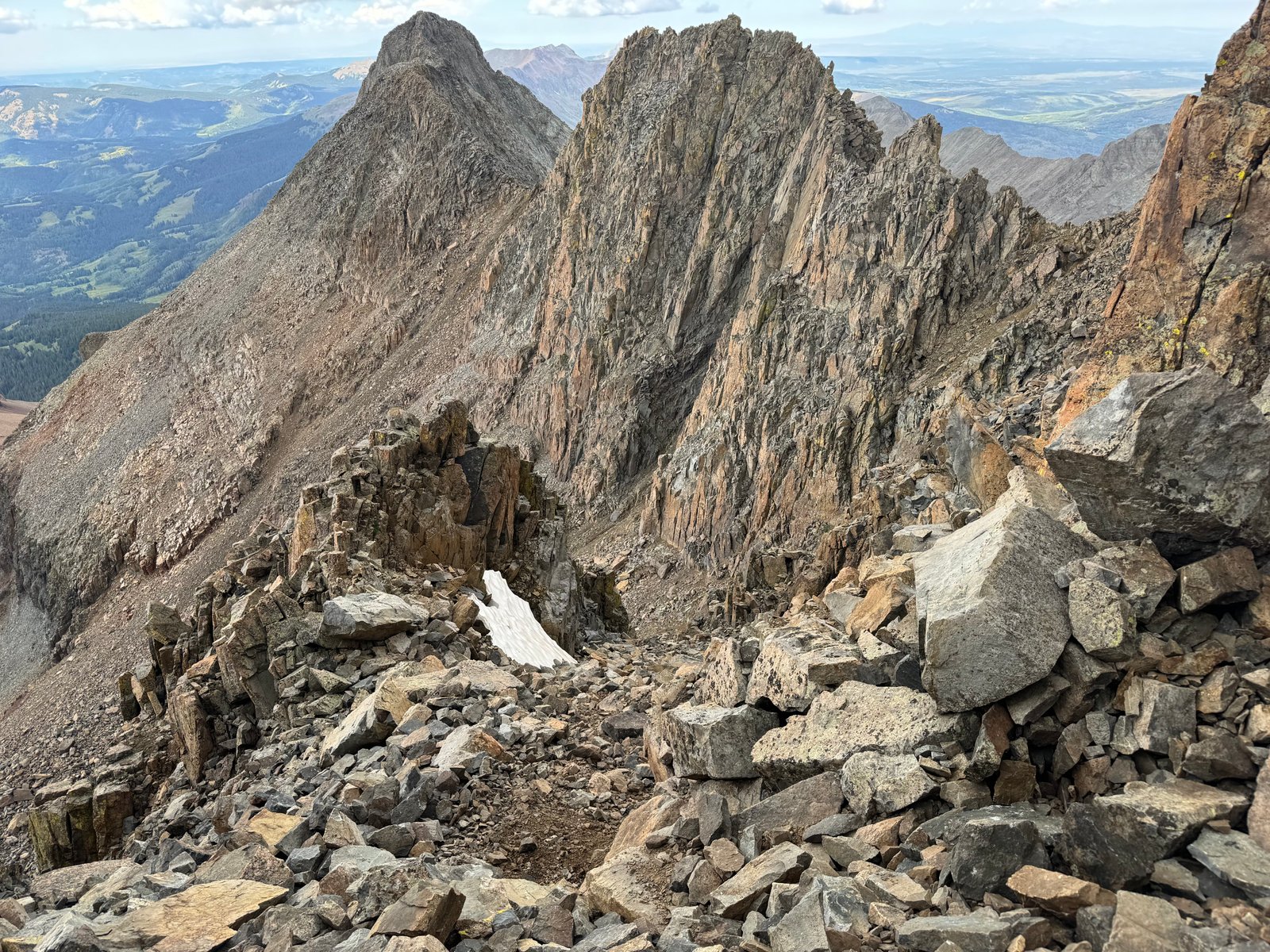
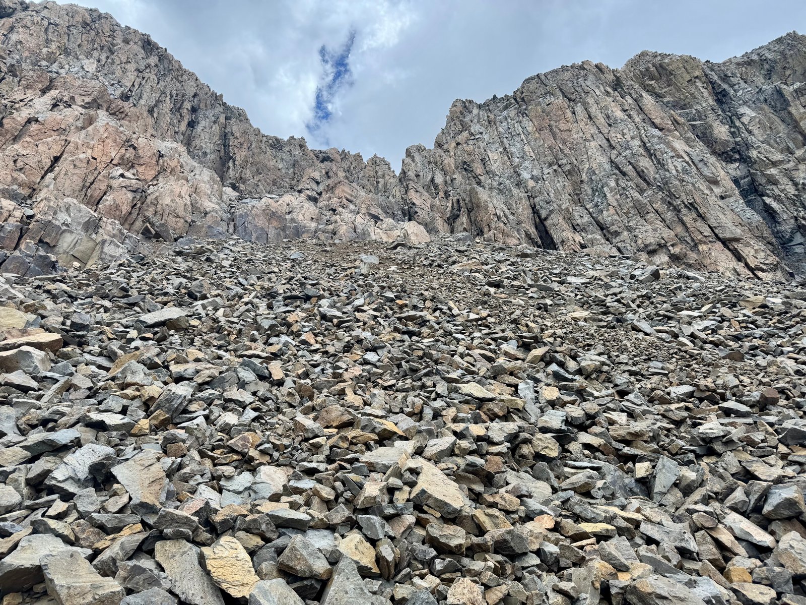
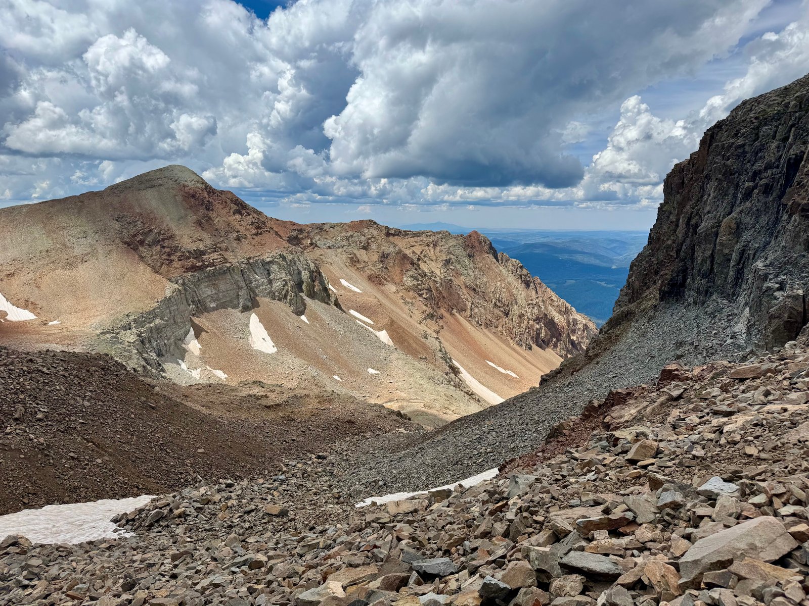
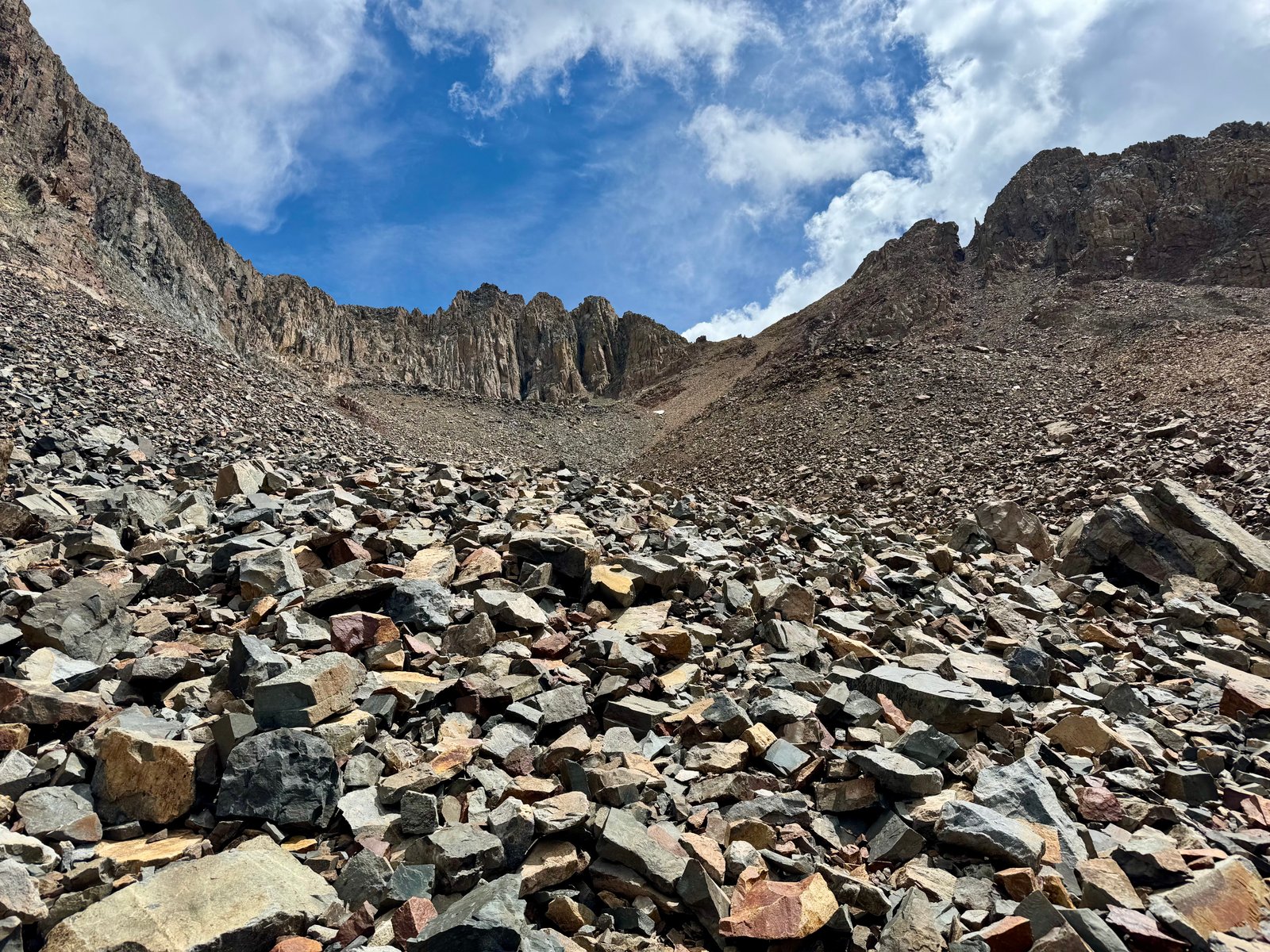
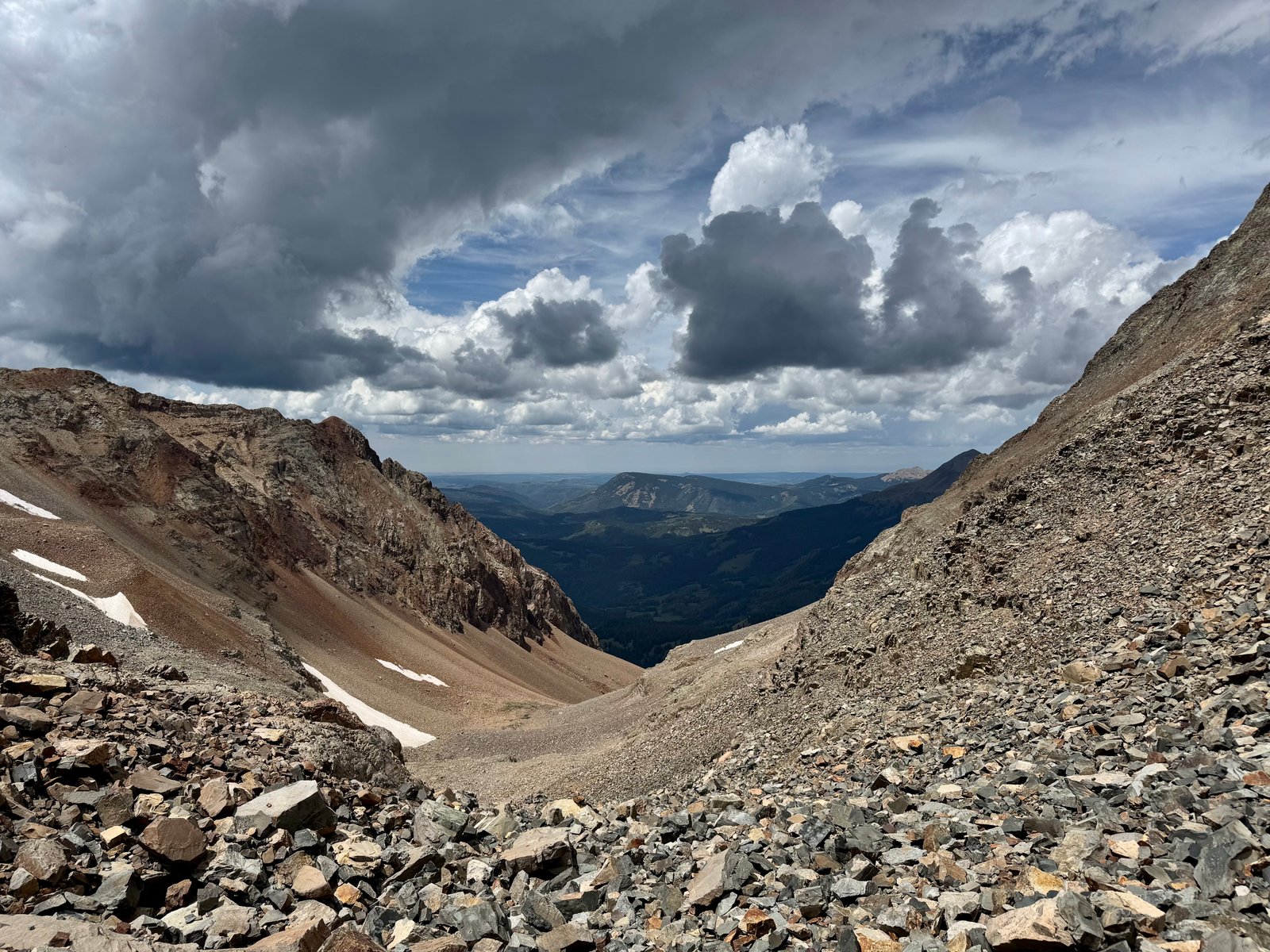
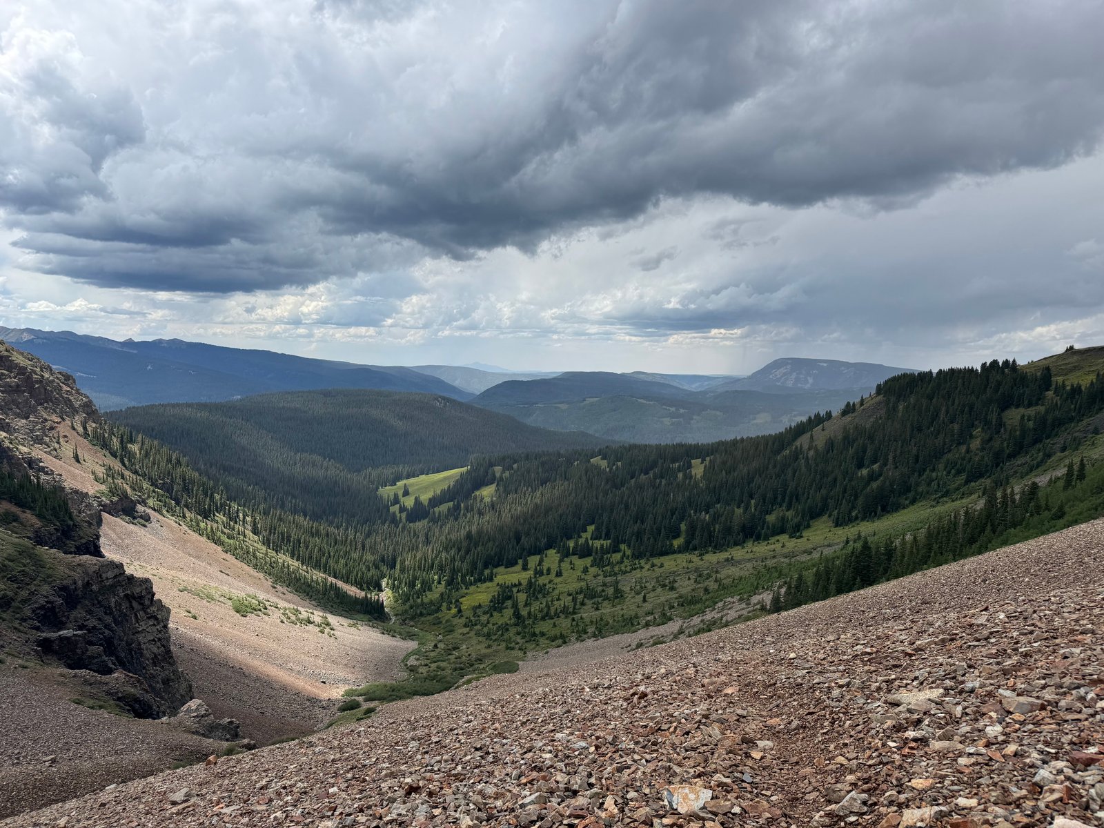
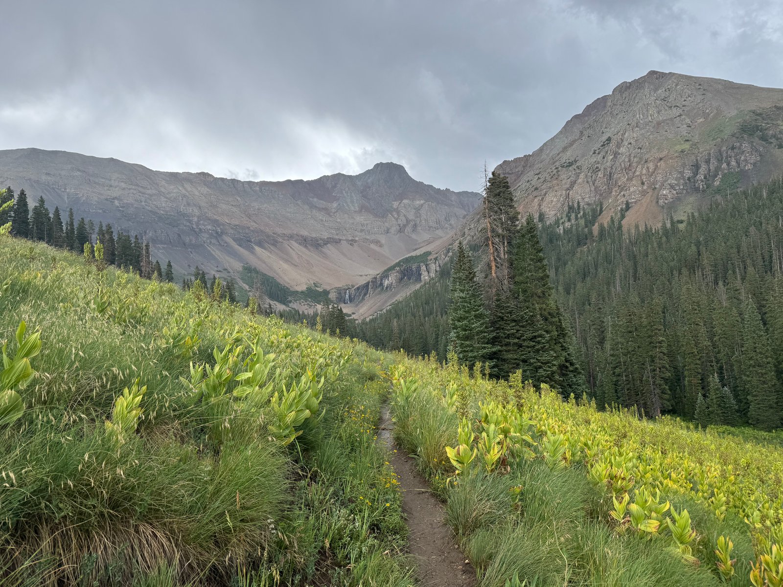
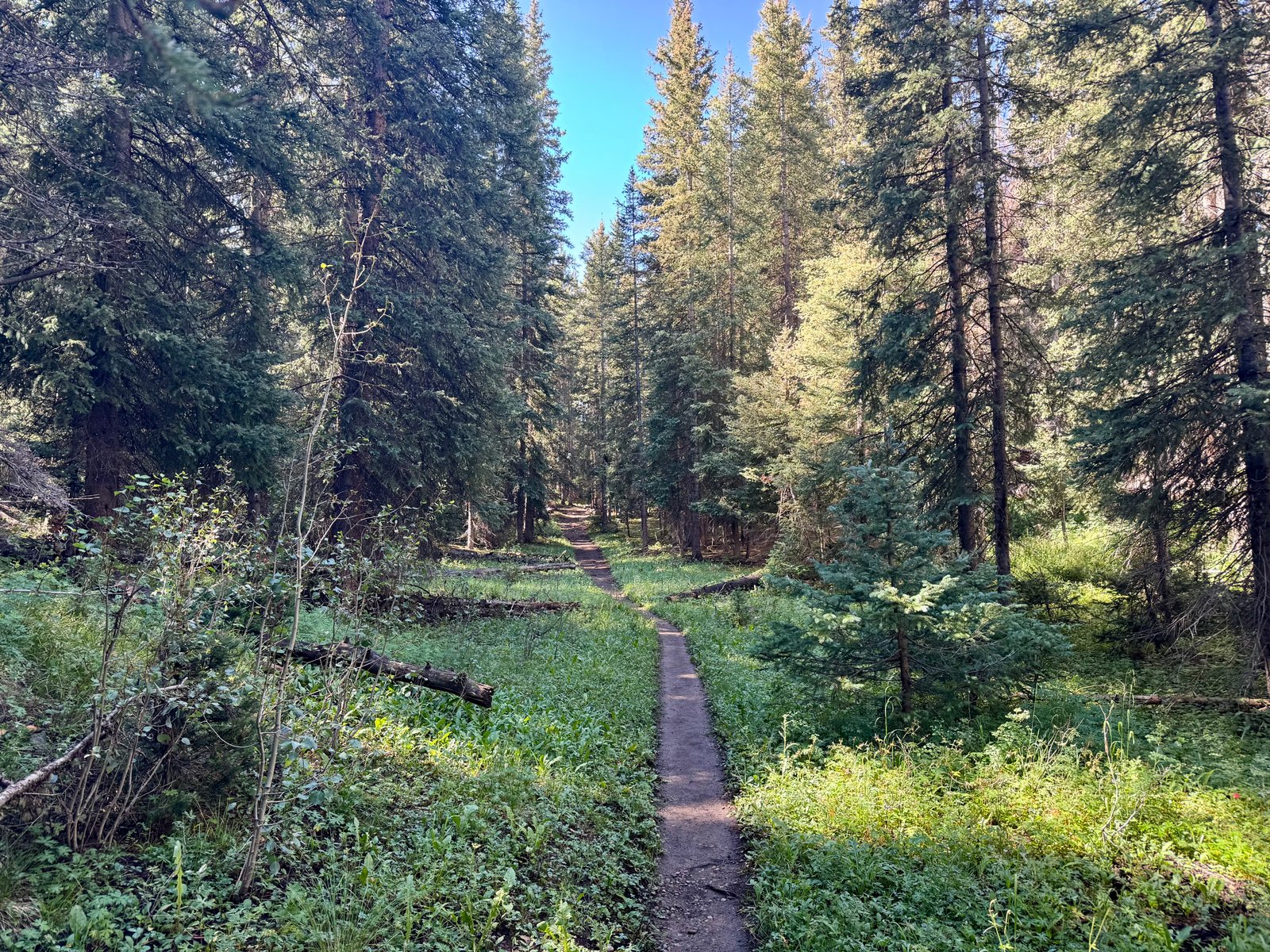
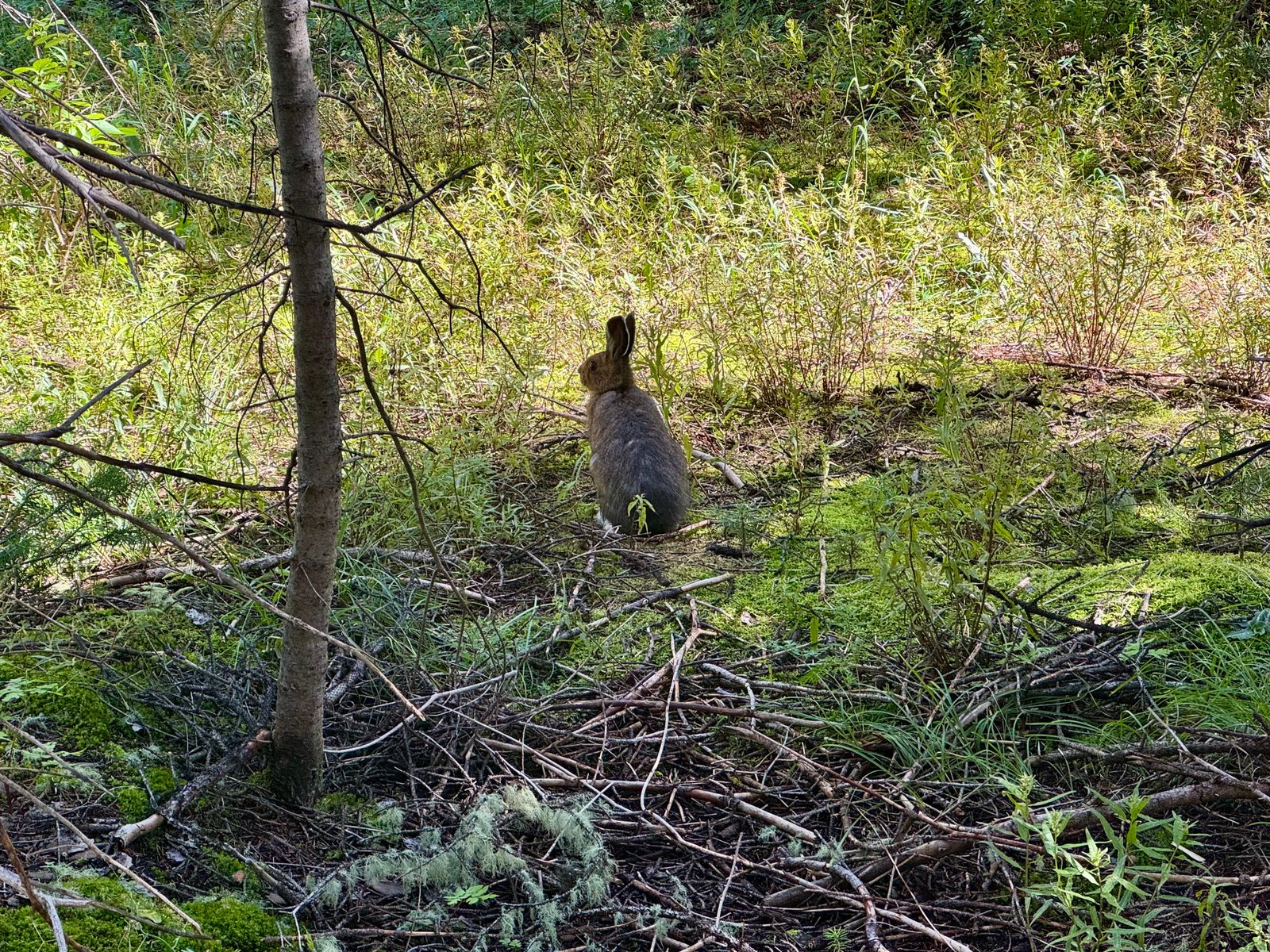
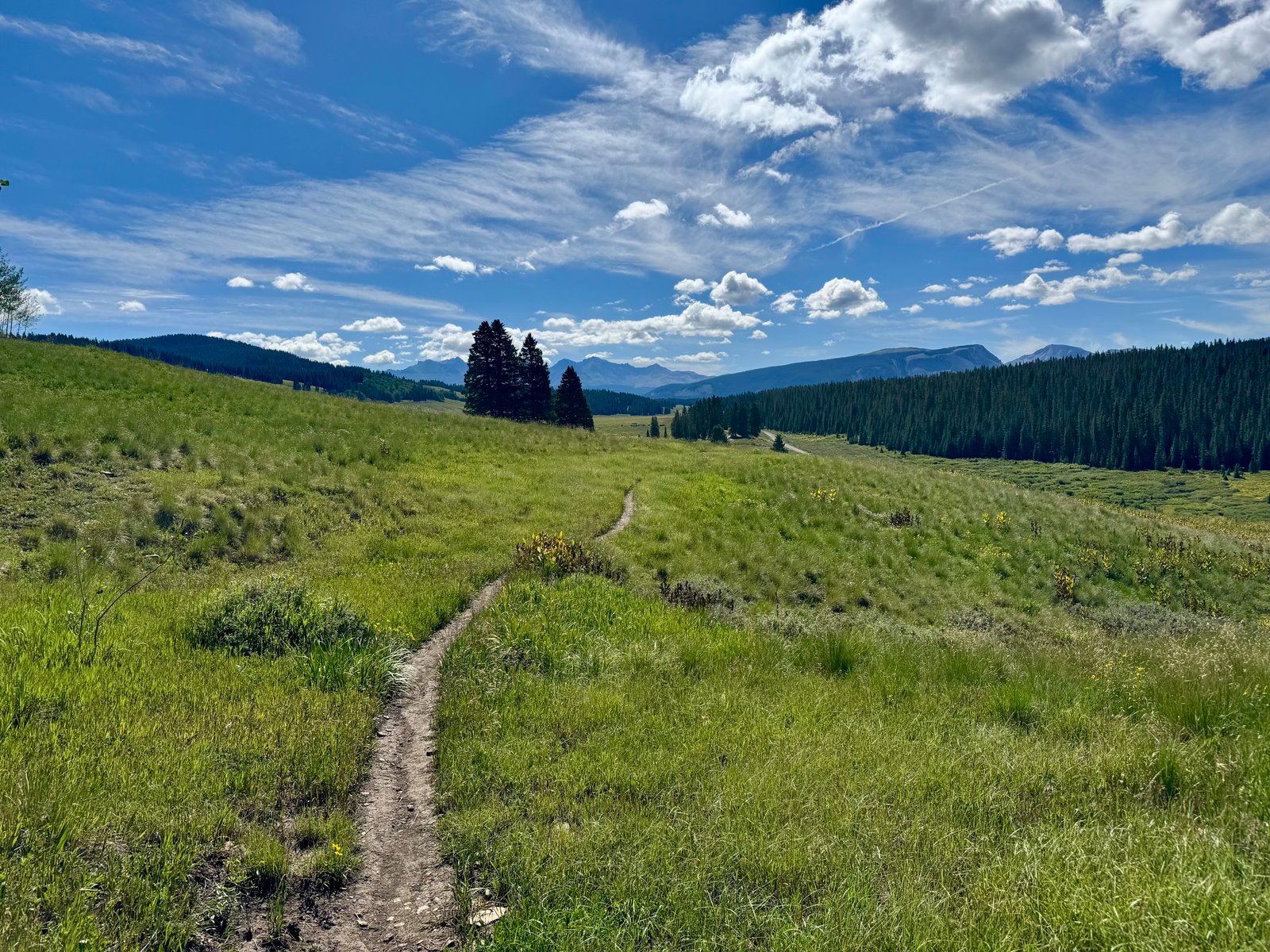
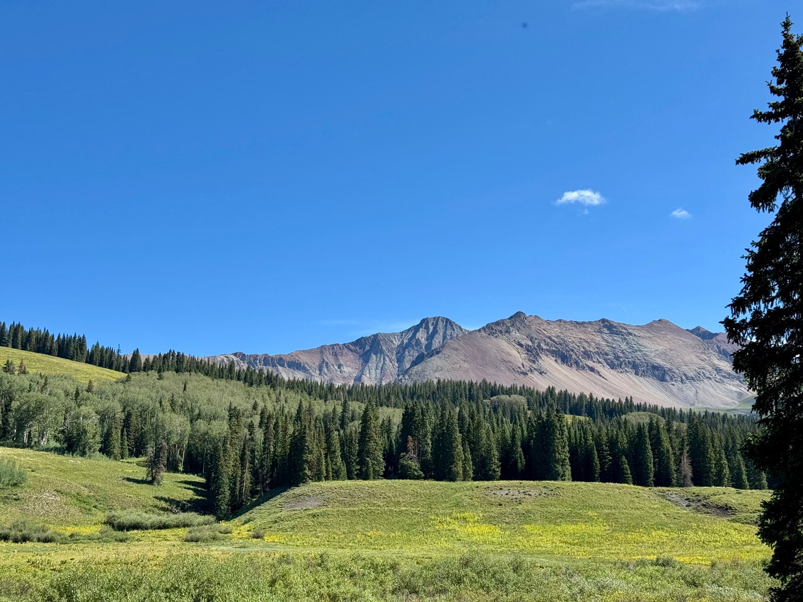
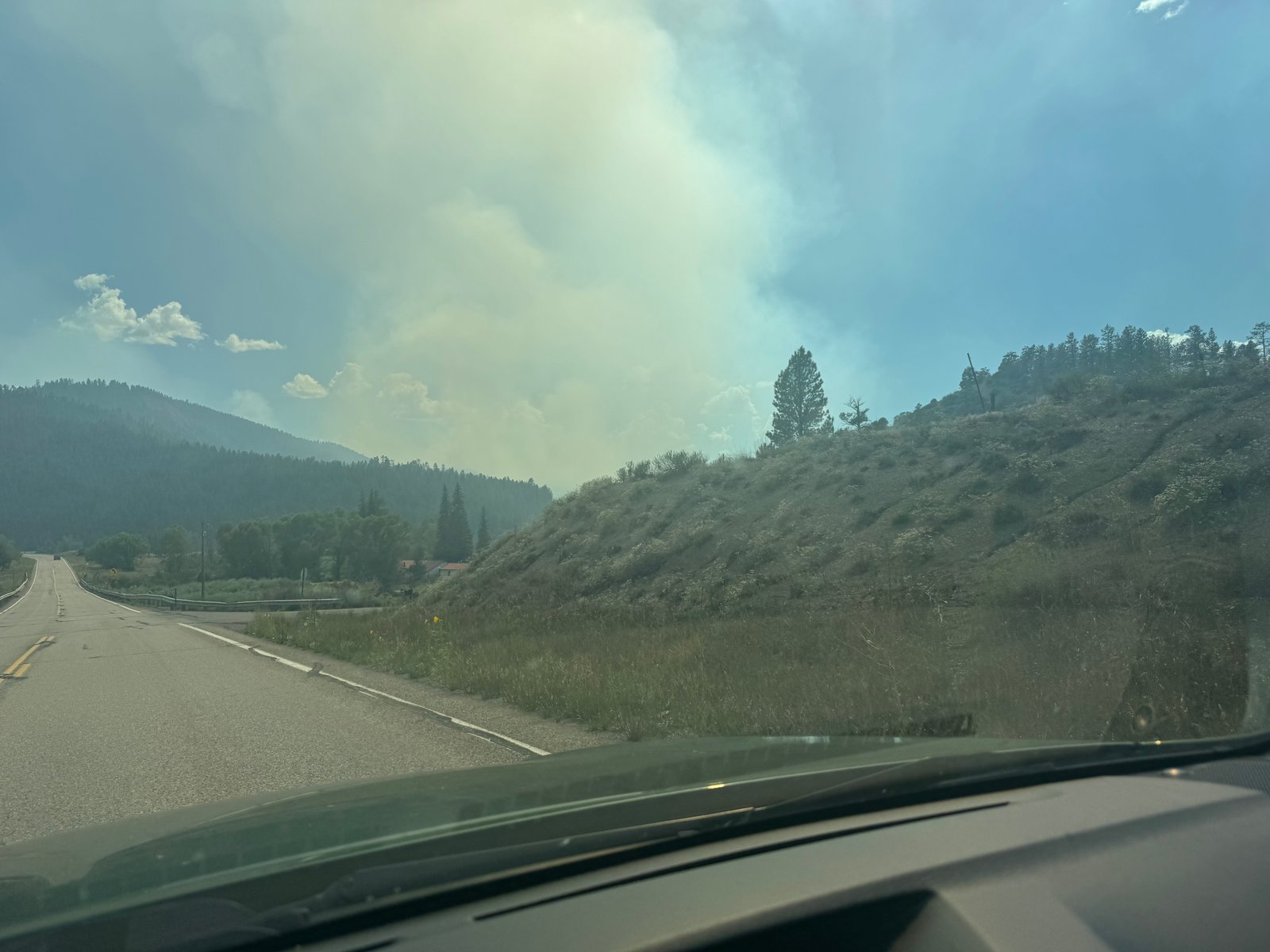
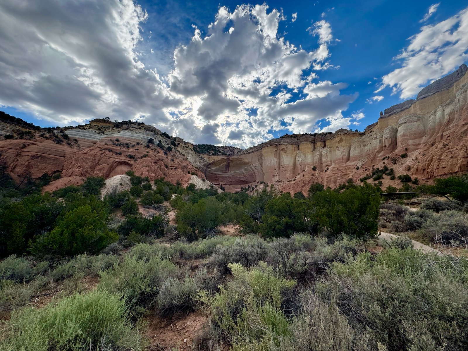
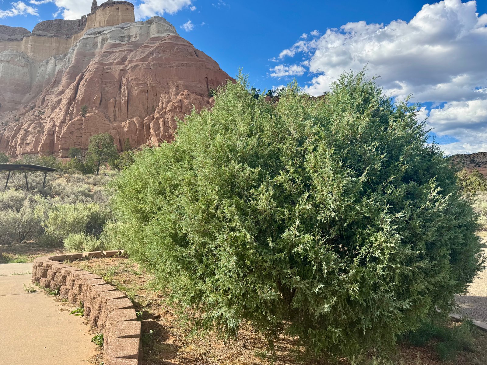
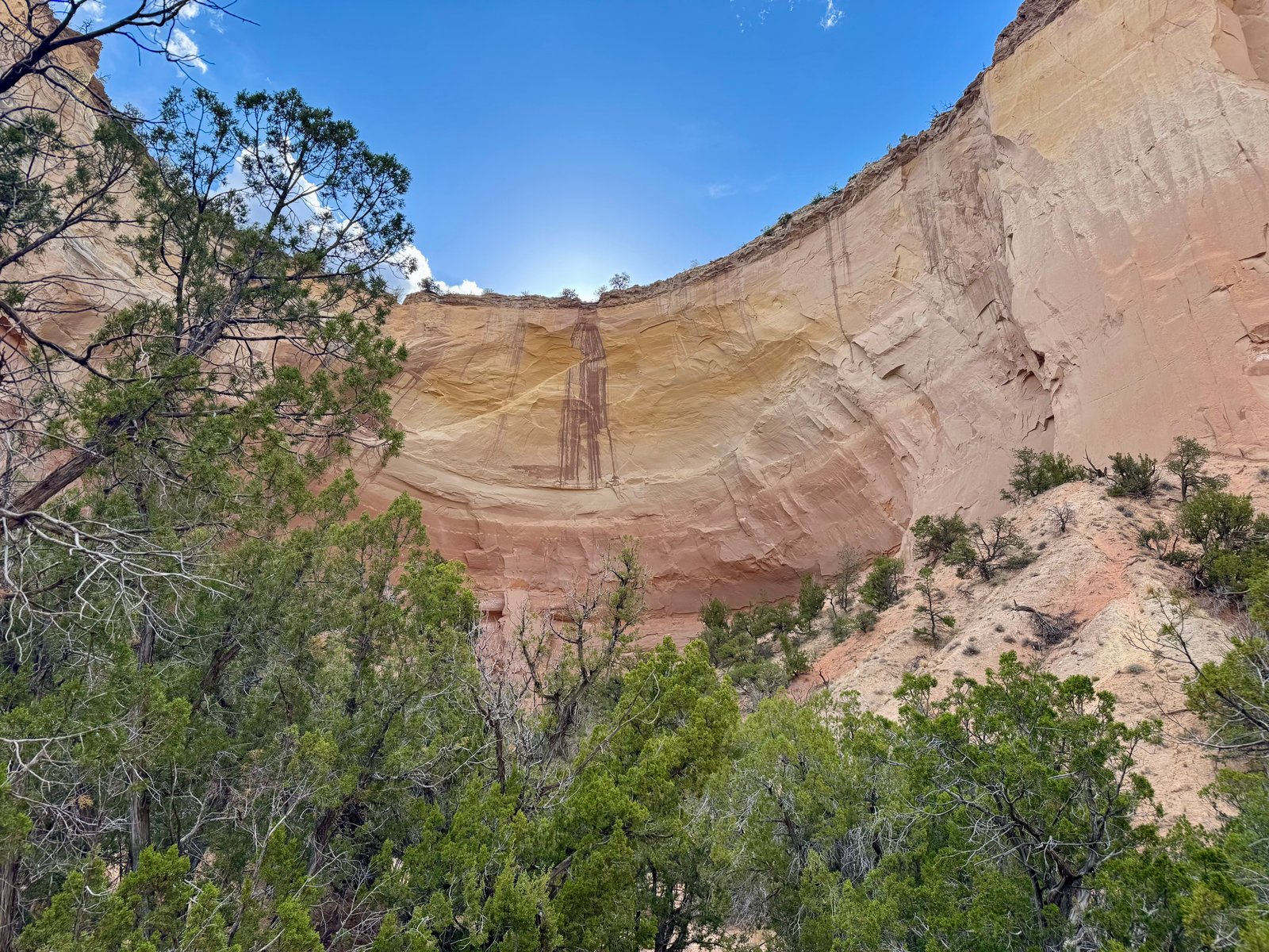
Photo Galleries Maff Colorado 2026: Full Gallery Bymaff August 14, 2026August 14, 2026 No Fires sign on Lily Lake roadParked at the Lily Lake / Huerfano trailhead.Huerfano creek crossingLocal resident.Blanca Peak at sunrise.Boulder field by Lindsey trail.Wildflowers near Lindsey trail.Portion of Lindsey trail.Mine off the Lindsey trail.Looking back down the trail.Basin below Iron Nipple (L, 13,502′) and Mt. Lindsey (R, 14,055′).The Crestone group, including 14ers Kit Carson and Challenger Point (far left).Blanca Peak (L) and Ellingwood Point (R).Mt. Lindsey and its northwest ridge, from a flat area at 13,000′ below the saddle.Iron Nipple (L, 13,502′) and Huerfano Peak (13,837′, #92 in CO).Lindsey. The standard route is the northwest gully (center-left); my route is the northwest ridge (R). The break in the ridgeline is the crux wall.Further along the ridge. Crux wall (above-left).Closer to the crux wall. Two climbers visible in a gully below the crux.A stable perch while getting down from the spires.Looking back at the spire I went up and down unnecessarily.Climbers on the crux wall.On the crux wall.Easier climbing above the crux.Scramble, walk, and then scramble to the false summit.The true summit.On Mt. Lindsey (#32/58 for me), with Blanca Peak behind.From left to right: Hamilton Peak (13,658′), Little Bear Peak (14,037′), Blanca Peak (14,345′), and Ellingwood Point (14,042′).Optional spire below crux.Climber descending (top left) and seated climber waiting (right of crack, yellow jacket).Marmot (center) blending in on a rock.Smoke cloud seen from the bottom of the Lily Lake TH road.Driving into the smoke.Mt. Antero (14,271′). The Little Browns Creek trail continues on the right.Rogue cow.4am morning sky.5:45am on Mt. Shavano.6am on Mt. Shavano.The new trail goes up and over this rise to the right; the old trail continued left on to the saddle behind.Looking south at the basin below.Dark clouds passing through.Shavano summit finally visible.On the summit ridge.Rock hopping below the summit.Summit marmot.Summit Maff.Looking at Tabeguache Peak, one mile to the northwest.Tabeguache Peak seen from the Shavano-Tabeguache saddle.Looking northwest at Cronin Peak (18,885′, center), with the Elk Mountains in the distance.Looking back at Shavano from near Tabeguache’s summit.Looking north at Mt. Antero from Tabeguache.Tabeguache summit at 9:19am.Descending back towards Salida.First light at 5:23am on the Missouri Gulch Trail.Looking back down the hill on the Missouri Gulch Trail.Shack ruins along the Missouri Gulch Trail.Mt. Belford (14,202′).Trail junction and Missouri Mountain.Missouri Mountain, generally.The remainder of the route to the ridge climbs from the center and then up behind the slope on the right.Elkhead Pass / Missouri Mountain junction.Climbing towards the saddle.View from the saddle. Huron Peak (14,003′, left)) and La Plata Peak (14,336′, right)Ridge trail to the summit with hikers on top.Proper route stays high to the left; social trail right below the pillar.Summit survey marker and comfortable cairn chair.Looking back down the Missouri Gulch basin.Missouri Mountain summit (#35). Emerald Peak (13,904′, left) and Iowa Peak (13,831′, right).Critter chewing on my trekking poles.Ice Mountain (13,951′) and North Apostle (13,860′) (left), and Huron Peak (right).Looking down at the basin.Back in the basin.Back at the trail junction with Belford (left) and Missouri (right).Steep switchbacks near the beginning of the trail.Wilderness boundary near trailhead.Another good view of the Blanca Peak group, this time from the south.Parked at the Cielo Vista Ranch gate.Sunset from the ranch gates.Great Sand Dunes National Park.Climbing Culebra Peak’s northwest slopes.Looking back down towards the Ranch entrance, with the Blanca group behind.The cairn and the ridge crest.The cairn at 13,350′, with Culebra Peak (14,053′) behind.Marmot standing guard.The remaining route.Marmot posing in front of Culebra.Looking back at the ridge, with Blanca still in the distance.View off the northeast side of the ridge, at Carneros Lake.Flat grassy area below the summit.Climbing to the summit.Culebra summit (#36).Looking back at the false summit and another hiker.Looking back up at the false summit, with hikers on top.Marmot imitating the ridge cairn.Ute Mountain (10,093′) in New Mexico.Descending straight ahead.Backing up.Lizard Head (13,119′).El Diente Peak (14,175′).El Diente Peak (14,175′).Kilpacker Creek. Kilpacker Basin and El Diente beyond.El Diente and waterfall.El Diente (“the tooth”).Camp.Still on a trail heading into the upper basin at 5:30am.Looking back down the basin. Camp below and to left; Dolores Peak to right.Morning breaks over the basin.Coming over a crest climbing into the basin.The trail continues across the talus slope.Twin rock pillars on the basin wall.A hiker (center, in blue) moving up the southwest slopes to Mt. Wilson, left of center.Looking up El Diente’s south slopes from the turn-off. Summit upper left.Climbing up the slopes around cliffs towards the Organ Pipes (center). El Diente summit (left) in sun.Looking back.Mt. Wilson.Organ Pipes (center) and climber in gully below.Tough to beat the backdrop.Near the top of the gully.Organ Pipes at the ed of the gully.Crossing ledges through this rock chimney.At the base of the Organ Pipes.Continue around this corner and up to the ridge crest.Wilson Peak (left) and Gladstone Peak (13,913′, right).Following the ledge to the notch.Looking down the ridge to Mt. Wilson from the notch below El Diente’s summit.You can climb either side of this rock. I stayed on the left side and liked it there.Reaching the summit.El Diente summit. Pick a rock.Looking back down into Kilpacker Basin.El Diente summit (#37).El perro.Joe downclimbing back to the notch. I stayed a little higher to the right.Looking at “Pin Point.” The route crosses below Pin Point around the lower midsection and wraps up and around the corner.Crossing below Pin Point.Crossing below Pin Point.Looking back at a big step.Ledges ahead.Ledges behind.Looking back at the start of the climb back to the ridge.Nearly back at the ridge crest, heading east in the morning directly into the sun.On the ridge.Back at El Diente.Further along the ridge, with the rest of the traverse and Mt. Wilson’s summit in view.Exposed moves near the end of the flat section of the ridge. Up and over directly forward.Looking at the crux wall and Mt. Wilson’s summit, with the sun ray shining down the southwest slopes descent route.On top of the crux wall, looking back at El Diente.Narrow stretch of ridge.Another narrow section.Still another.Looking at the end. The southwest slopes descent route is also visible, from the notch to the right of the summit.In the saddle before the summit pitch.Looking back at the traverse and another climber.At the notch where Mt. Wilson’s north slopes route joins the trail. Gladstone Peak (center) and Wilson Peak (left), with Lizard Head (right).The final obstacle below the summit. I went left.Looking at El Diente from the summit of Mt. Wilson.Wilson Peak and Gladstone Peak, from Mt. Wilson.Lizard Head closeup from Mt. Wilson.About to descend into upper Kilpacker Basin from Mt. Wilson.Descending the gully from Wilson.The southwest slopes descent seen from the end of the traverse, black line approximating the route.Climber on El Diente-Wilson ridge.Looking at the crossover.Looking up the talus slope at 30 minutes of progress from the last photo. Rain drops beginning to fall.Heading down the basin.Looking back up at Wilson.Further down.Near the lower basin.El Diente from the meadow.Kilpacker Basin trail.Another rabbit near the trail.Back in sight of the trailhead parking lot.El Diente from the trailhead parking lot.Smoke plume from the 1,300 acre Rio Blanco Fire.Echo Amphitheater.A juniper bush.In the amphitheater.Across the highway from Echo Amphitheater.