Maff Colorado 2026: Fire on the Mountains
Long distance runner, what you standing there for?
To not bury the lede: this year I successfully climbed up and then down seven more of Colorado’s 14,000′ peaks, which puts me at 38/58. Those peaks were:
- Mt. Lindsey (14,053′), via Northwest Ridge (class 3) (8.25 mi RT / 3,500′);
- Mt. Shavano (14,230′), via East Slopes (class 2) + Tabeguache Peak (14,158′) via Mt. Shavano combination (class 2) (12 mi / 5,600′);
- Missouri Mountain (14,071′), via Northwest Ridge (class 2) (10.5 mi / 4,500′);
- Culebra Peak (14,053′), via Northwest Ridge (class 2) (5 mi / 2,700′);
- El Diente Peak (14,175′), via South Slopes (class 3) + Mt. Wilson (14,246′) via Traverse from El Diente (class 4) (7.25 mi / 4,800′) from Kilpacker TH (6 mi / 800′).
To see the photos from this post in a scrollable gallery, click here.
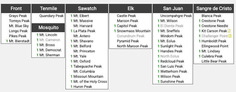
Here’s an overall progress update on the full list:
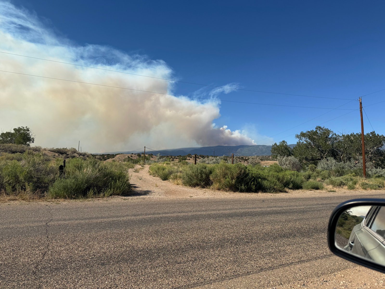
To back up: Colorado had a very low snowpack winter this year, which led to a very dry start to the summer that quickly turned into multiple large wildfires across the state (and much of the western United States). The Willow Fire near the Leadville Fish Hatchery closed access to 14ers Elbert and Massive, as the Gold Mountain Fire near Ouray did to Uncompahgre and Wetterhorn. I was only missing Uncompahgre out of those four and didn’t have it on the shortlist for this year, but I did hope to do work in both the Sawatch and San Juan ranges this summer. Air quality across the state was highly variable day-to-day as wind pushed the smoke plumes back and forth; hikers on some 14ers reported significant smoke effects, others saw hazy skies, and many more reported no issues at all. To my great relief, my experience mostly fell into the latter bucket, though I saw large smoke plumes from at least five separate fires in both Colorado and New Mexico this year.
I left Austin Saturday morning around 9am and 12 hours later I pulled into the first hotel I saw in Trinidad, CO, 706 miles away. In between I listened to a half-dozen Grateful Dead shows. The Dead are many things but one of them is great music to sorta-zone-out-and-lose-track-of-time to, which is to say, driving music. Not for the last time this trip, I downed a pizza and beer in town, and went to bed to the sound of some other poor hotel guest trying gamely to back their moving truck into a parking spot.
Sunday, July 19
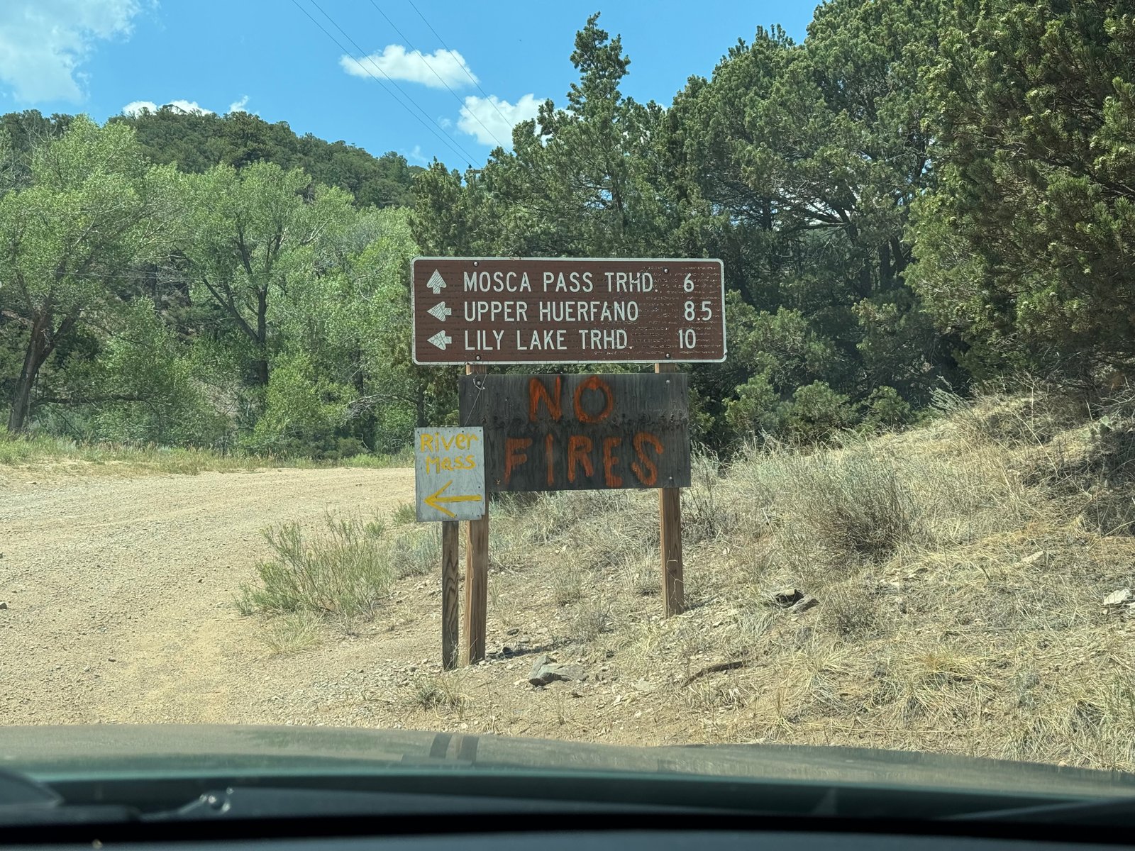
I initially planned to start the trip in the Sawatch range, where I still had seven 14ers left to check off. But as I drove north from my hotel in Trinidad, CO, I saw the turnoff for Mt. Lindsey approaching and made a quick decision. At a mere 8.25 miles and 3,500′, Lindsey would be a much shorter hike than anything in the Sawatch, which made it more appealing for the start of the trip when I wasn’t acclimatized yet. Its Northwest Ridge route was class 3 and included some technical scrambling but that doesn’t tend to scale in difficulty with a lack of acclimatization the way distance and gain do. And a quick comparison of the forecasts and air quality maps leaned in Lindsey’s favor as well. I turned onto the 22 mile road to the Lily Lake / Huerfano Trailhead, which is unpaved, rocky, and narrow for 15 miles. Close to an hour later, I was back at the trailhead I had been hailed on for two hours a year ago.
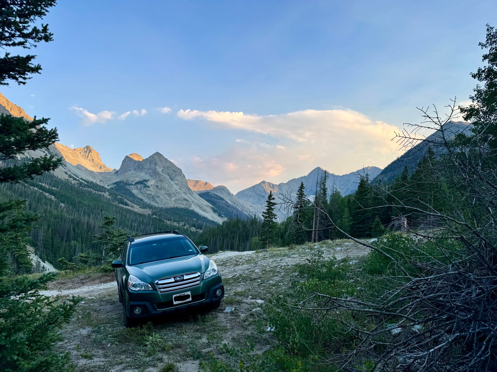
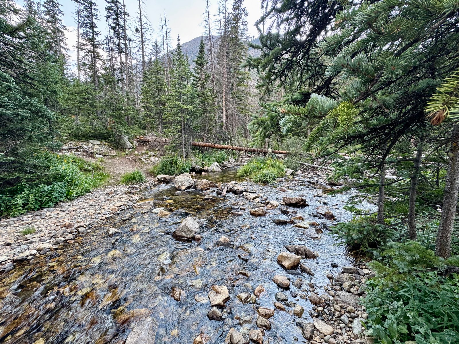
This time the weather was uneventful. I made camp and walked about a mile down the trail to where it crosses the Huerfano River. A year ago, the river crossing was several feet deep and I declined to ford it. As a result, here I was, and in the dry summer the river crossing was basically trivial:
I said hello to the locals, did some reading, ate dinner, and went to bed at dark, around 9pm.
Monday, July 20: Mount Lindsey (#32)
Because the route is only four miles each way, I figured I could take a late start and I hit the trail at 6:15am.
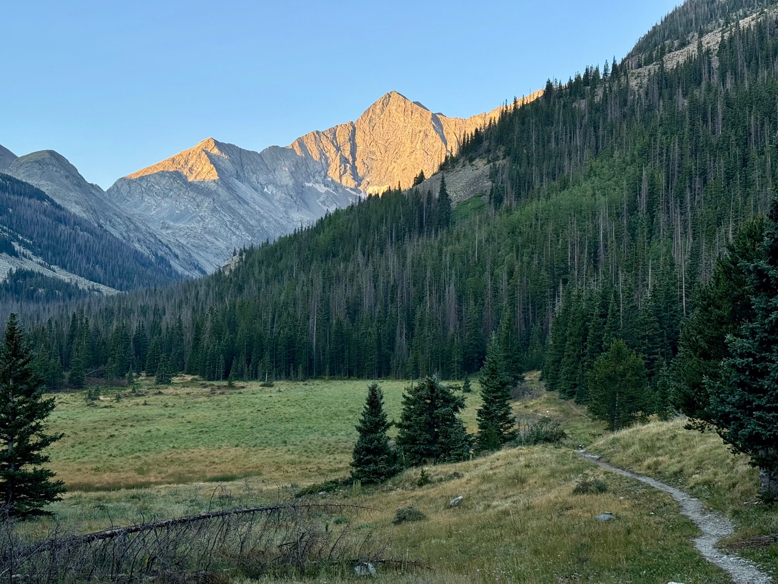
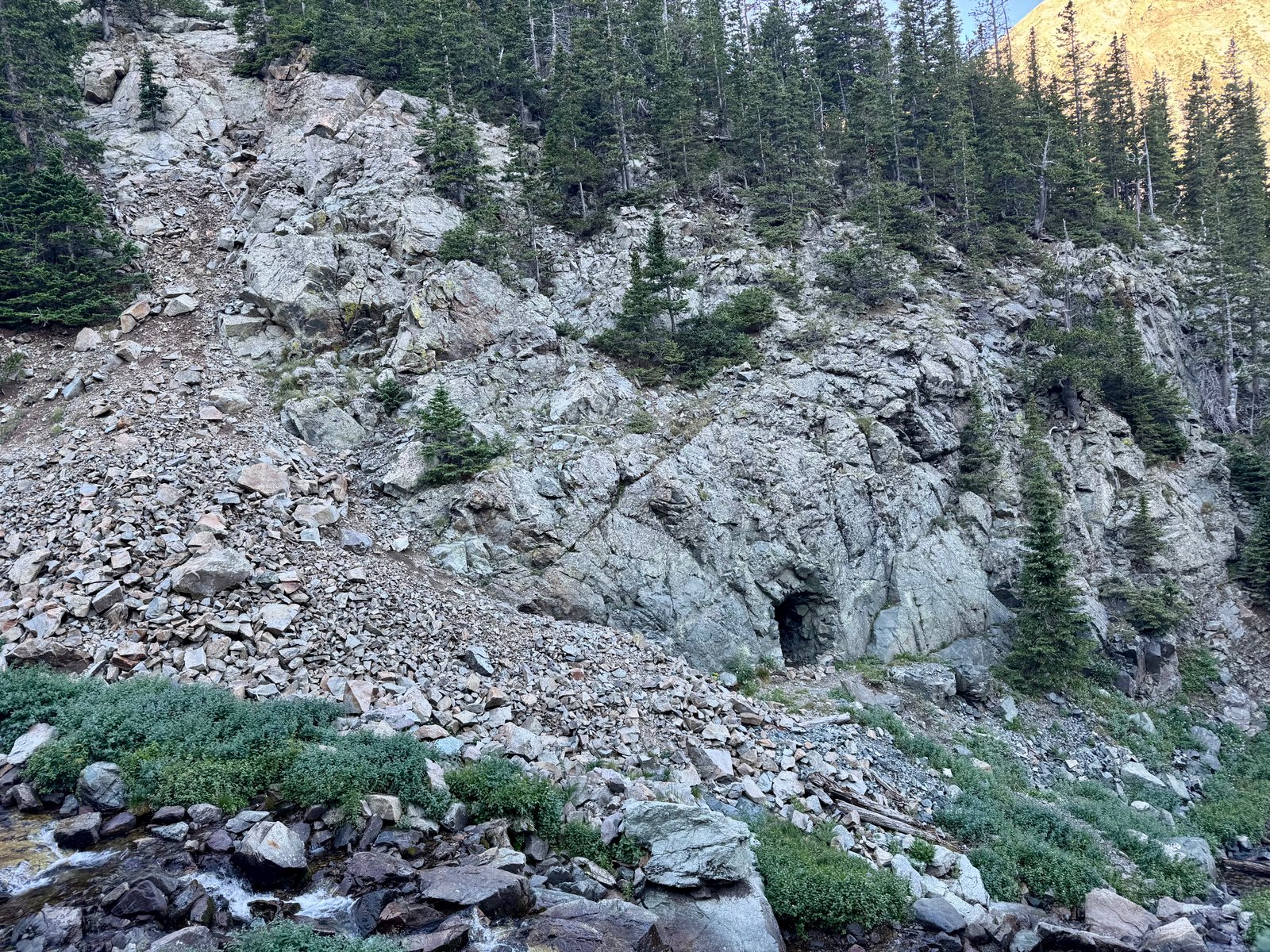
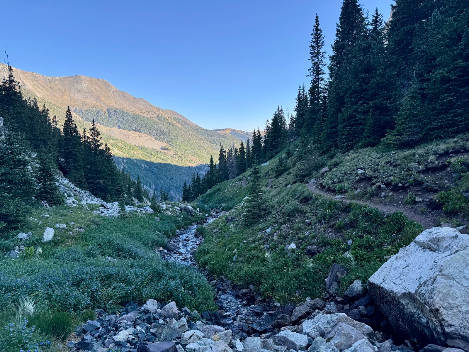
Starting at 10,700′, the trail is generally flat for the first mile-plus to the river crossing. Shortly after the river, the trail climbs at a surprisingly steep and unrelenting angle through the trees, up the side of a boulder field and then along a stream, until it finally breaks treeline at 12,000′.
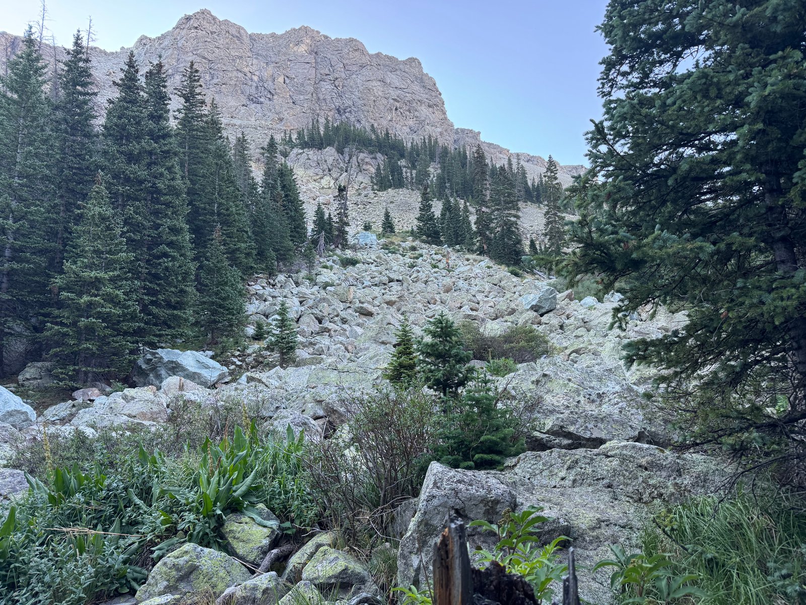
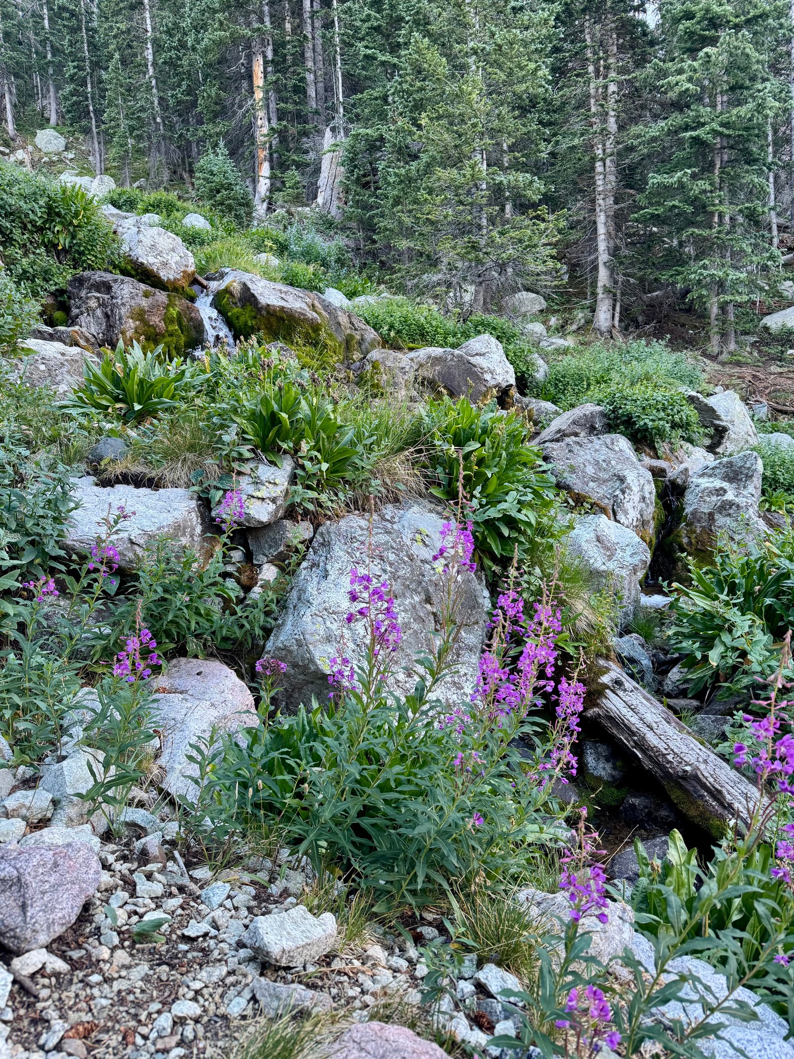
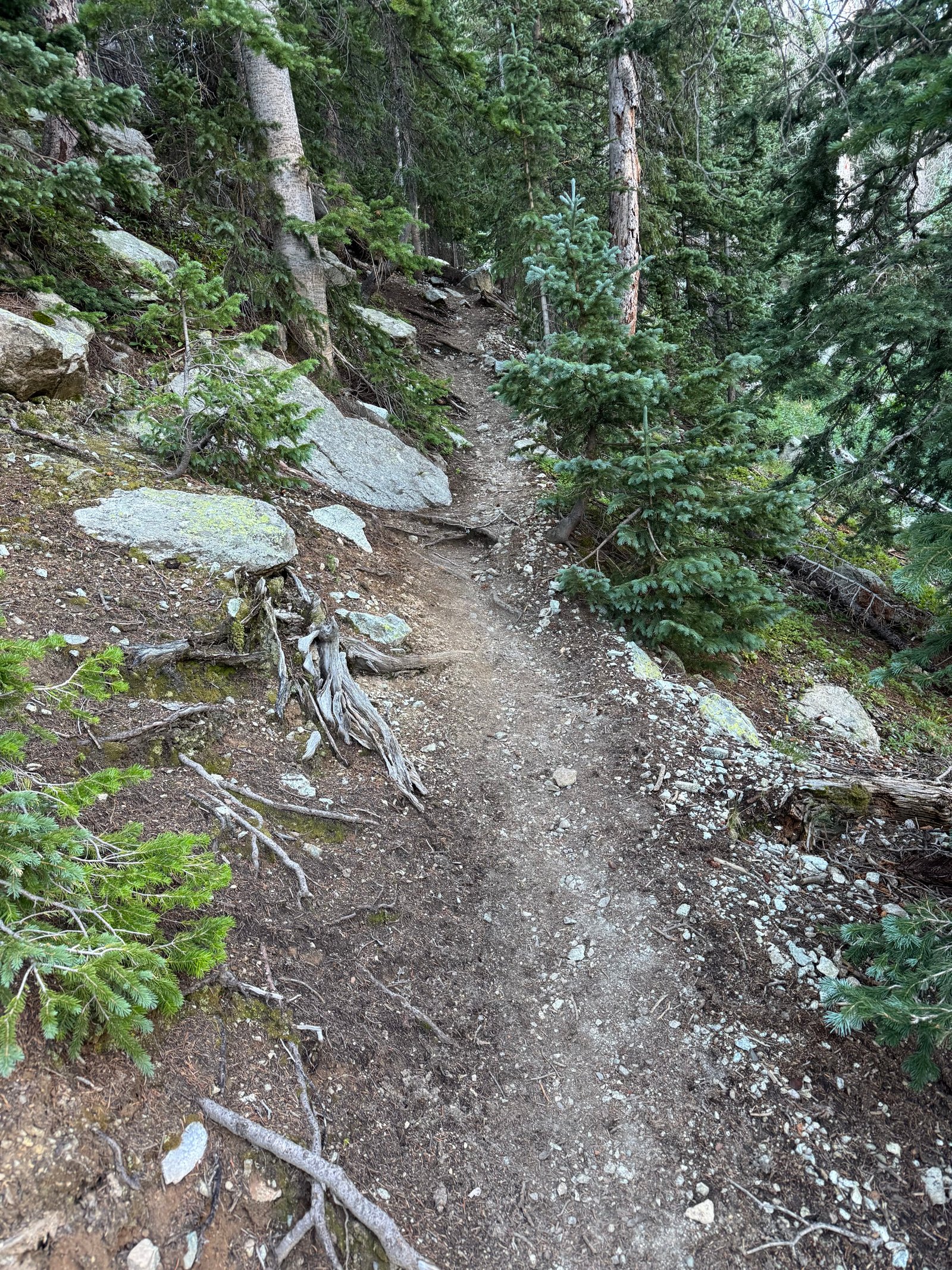
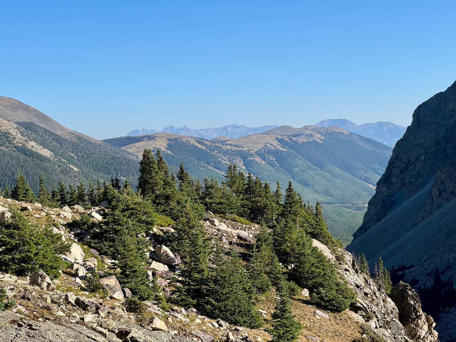
The trail emerges above treeline into a wide basin where Lindsey is finally visible for the first time behind 13er Iron Nipple, along with great views of 14ers Blanca and Ellingwood Point, and distant views of the Crestone group.
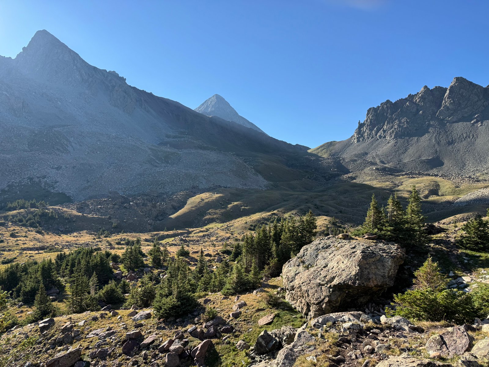
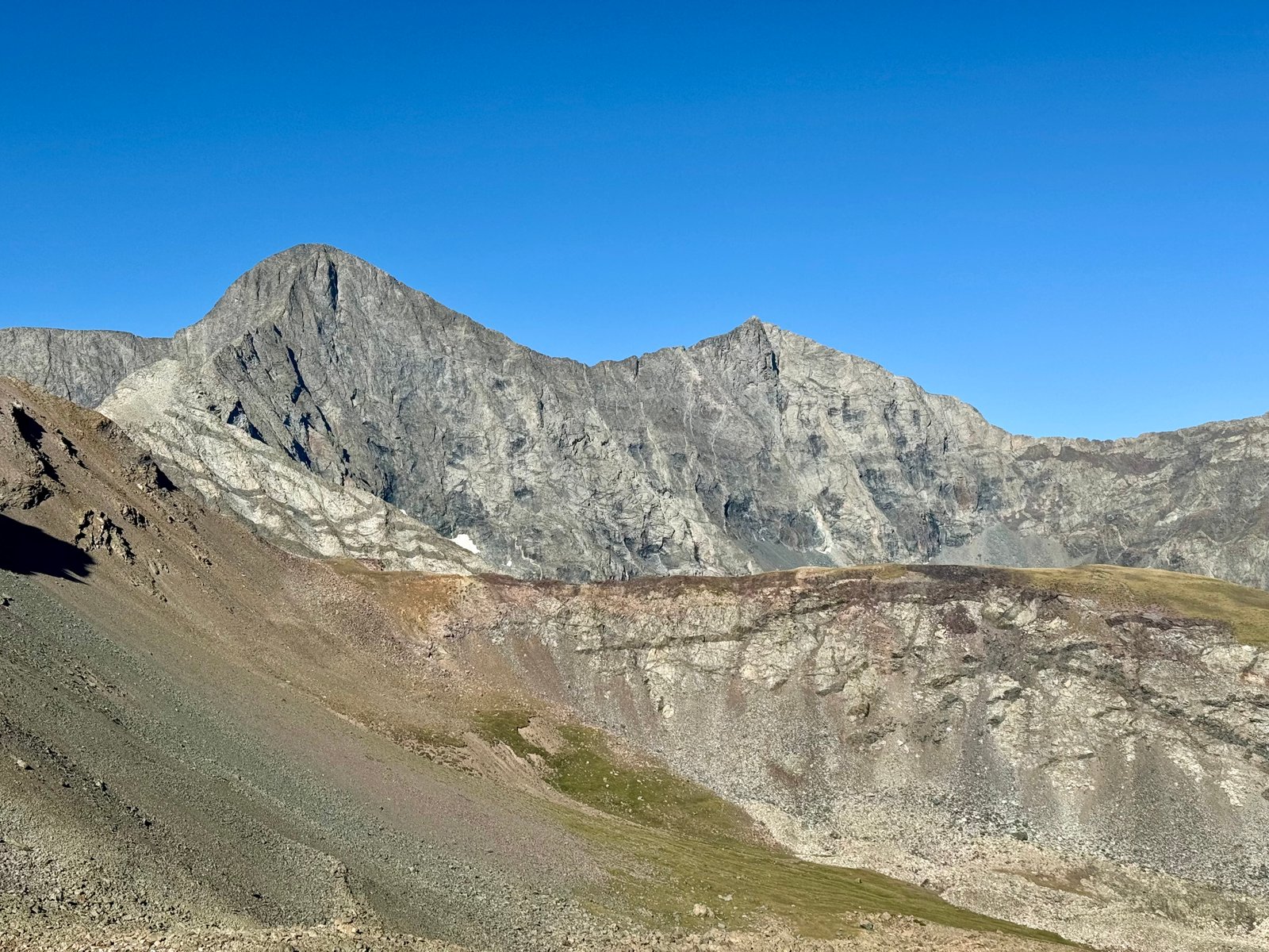
The trail levels out as it crosses the basin, which I was ready for. I had been working hard to gain elevation and had to stop frequently to catch my breath. I took my first sit-down break when I reached the basin to eat some snacks and put on sunscreen. At the far end of the basin, it’s time to climb again, up to a flat shoulder at 13,000′ below the saddle.
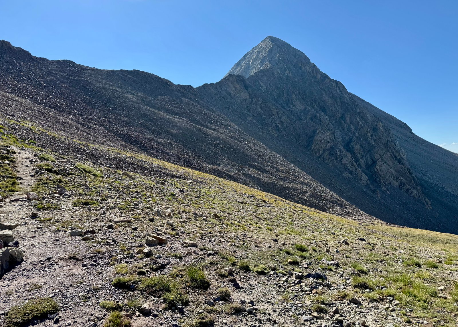
The actual saddle between Lindsey and Iron Nipple is another couple hundred feet up a rock slope.
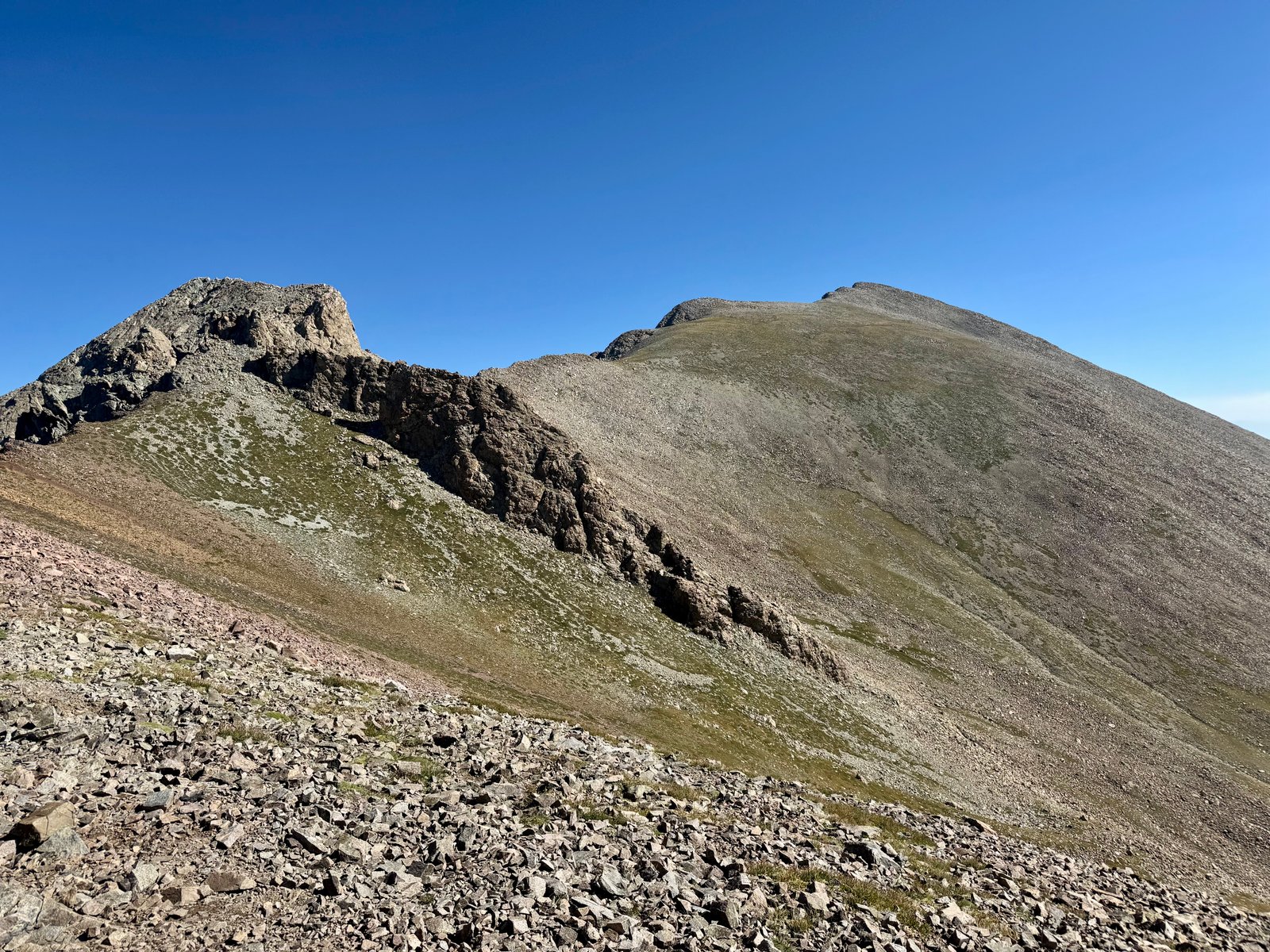
I reached the saddle at 9:15am and could see the northwest ridge route in full. The old standard route is the Northwest Gully but the Northwest Ridge route has become more popular recently, especially once the gully is snow-free. Like many, I prefer ridge climbing to sliding around loose rock gullies so I also chose the ridge.
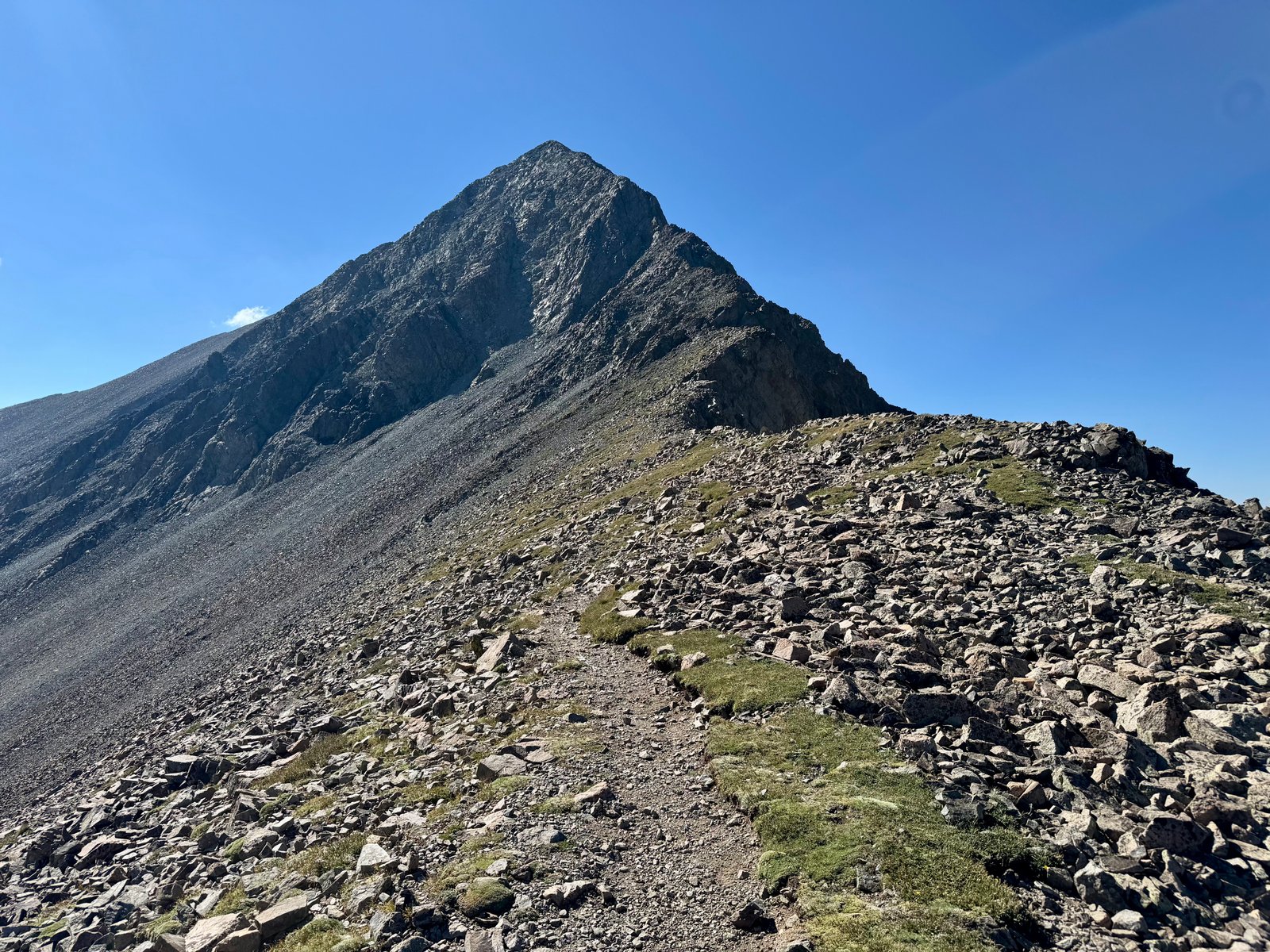
The ridge route loosely follows just below the actual ridge crest and progresses from hiking to rock-hopping to scrambling. I knew that by the time I reached the obvious crux wall I wanted to be below the ridge crest to avoid several small spires. But the easier climbing was closer to the crest and I wanted to avoid ending up in the gully below the wall, so I stayed a little too high.
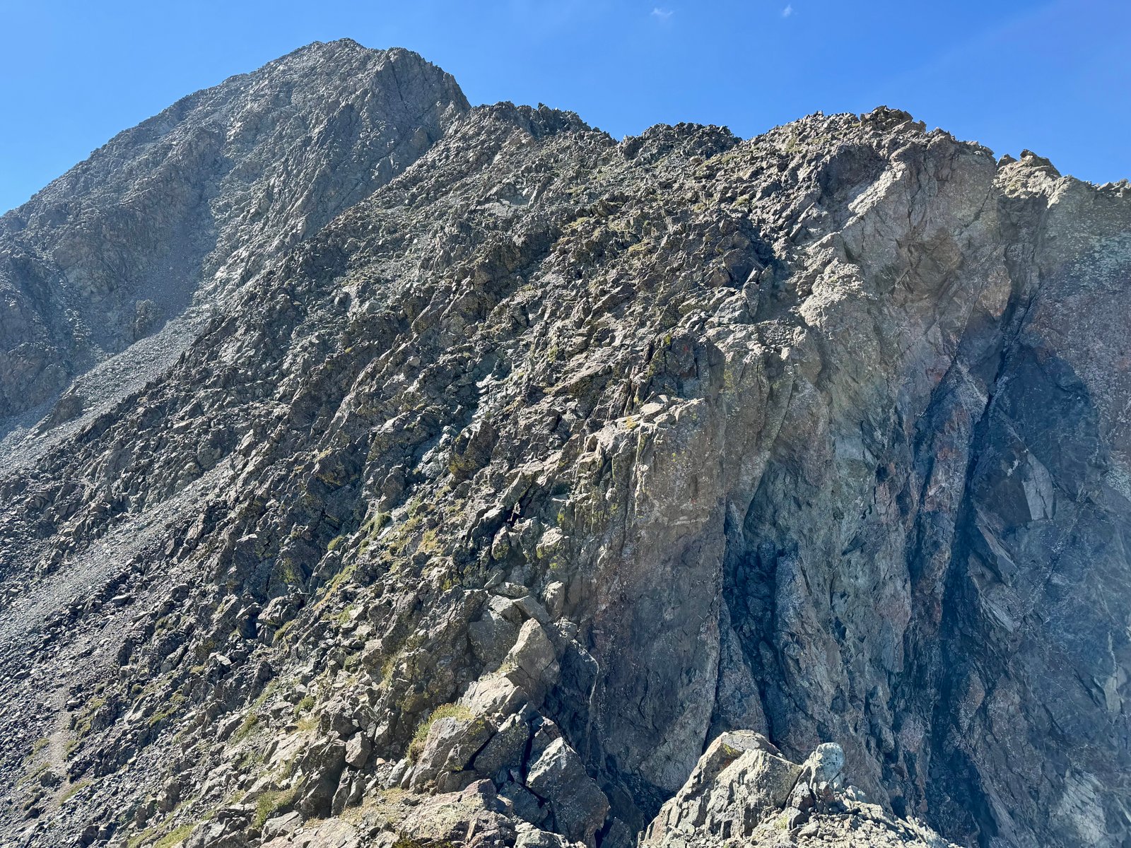
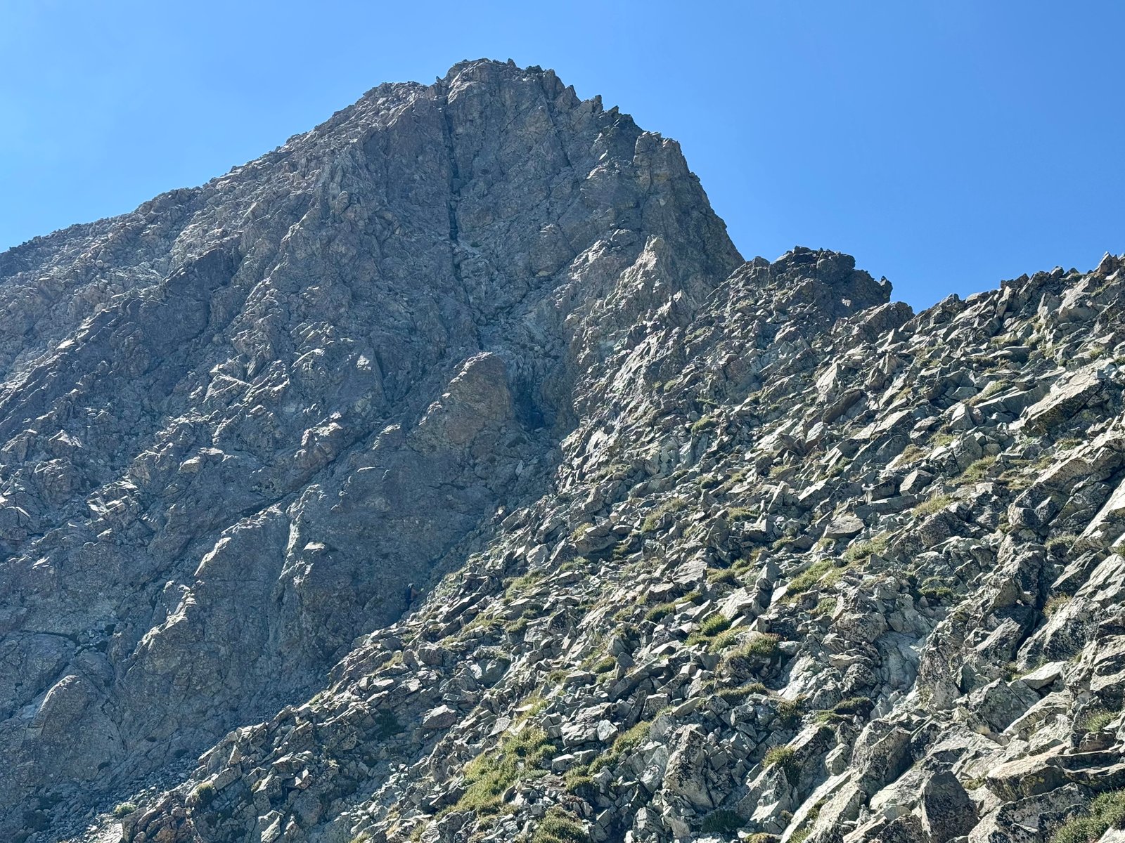
As I neared the crux, I realized that I was too high. I now had to downclimb from a set of spires to the base of the crux wall, with full exposure on the right and a drop to a steep gully on the left, or I could backtrack find a route that crossed the gully below the spires. I backtracked a little but a sensible alternative wasn’t obvious so I returned to the spires and did a descending traverse from one spire to the next and then to the base of the wall. I didn’t love it.
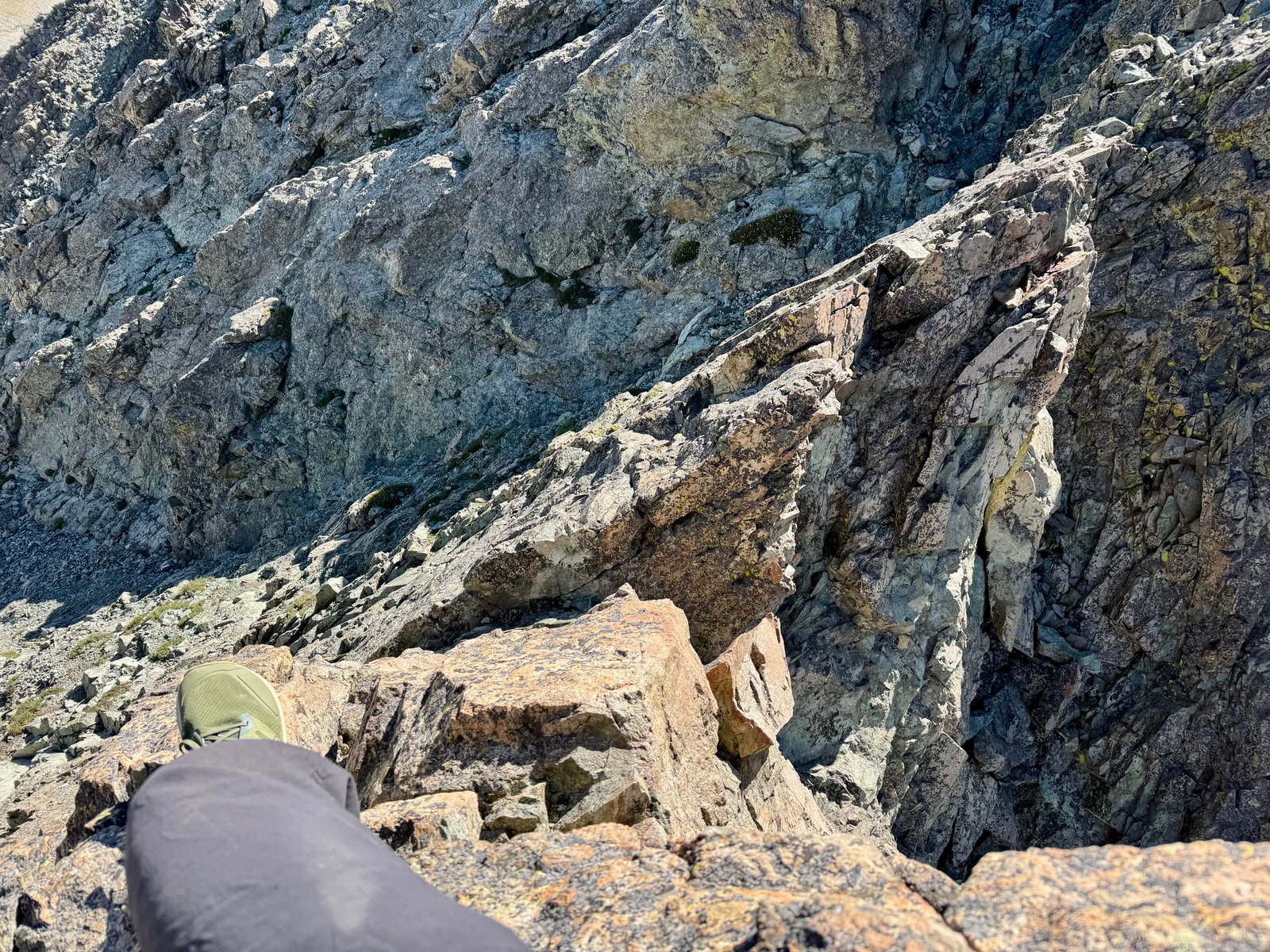
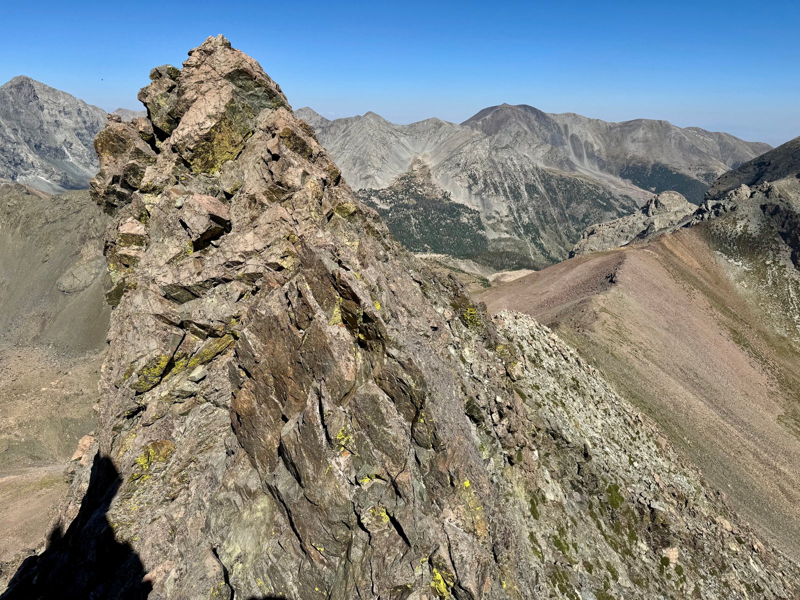
I was at the base of the crux wall just before 10am. Halfway up the wall were a pair of climbers who were not thrilled with their route finding either. They told me they had started to climb the standard route gully but didn’t like it and changed course for the gully that led to the crux wall, where they were making progress but were clearly unsure of the route.
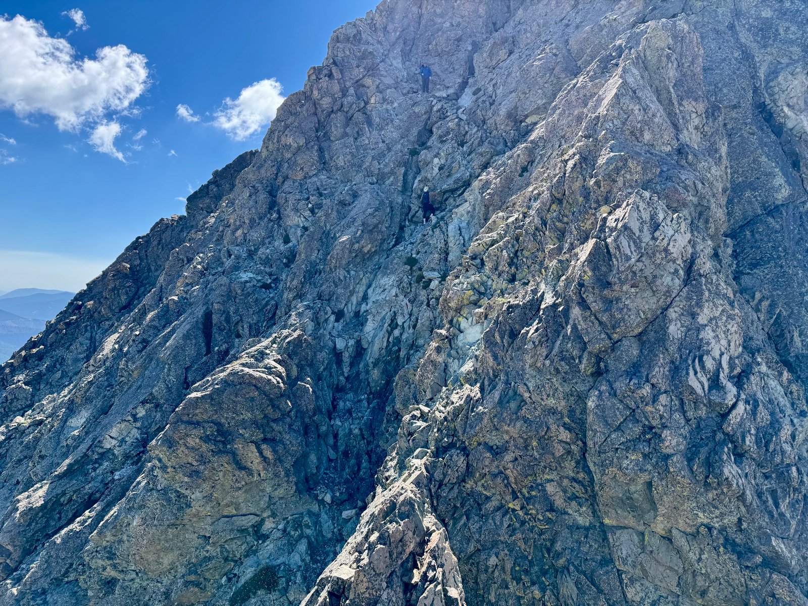
There are a few options for this wall. You can try to find a class 3 bypass to the left, or you can climb the left or right half of the wall (both at class 4). Two climbers who looked like they knew what they were doing appeared at the top of the wall and quickly downclimbed along the obvious crack system to the base, stopping with the other pair and with me to discuss. They recommended their route and I climbed up it, to the other pair of climbers. They were hoping I would route-find the rest of the way up the wall for them, which I did by leaving the crack and climbing the small chimney above blue jacket guy’s right shoulder.
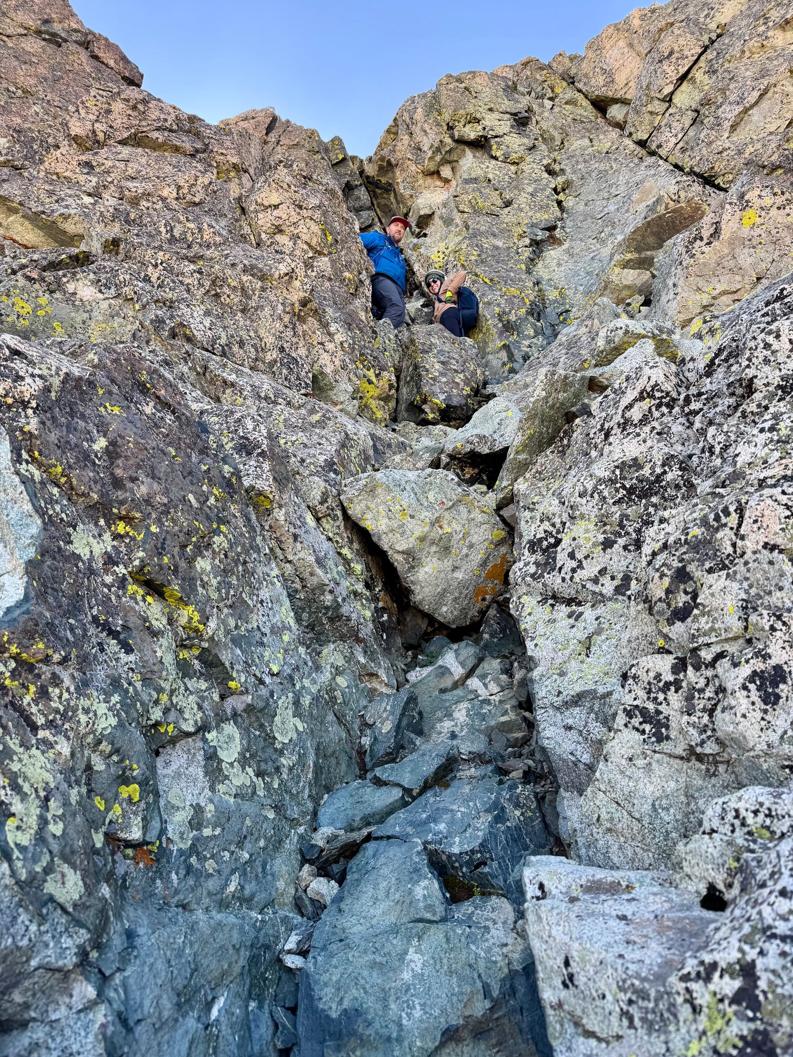
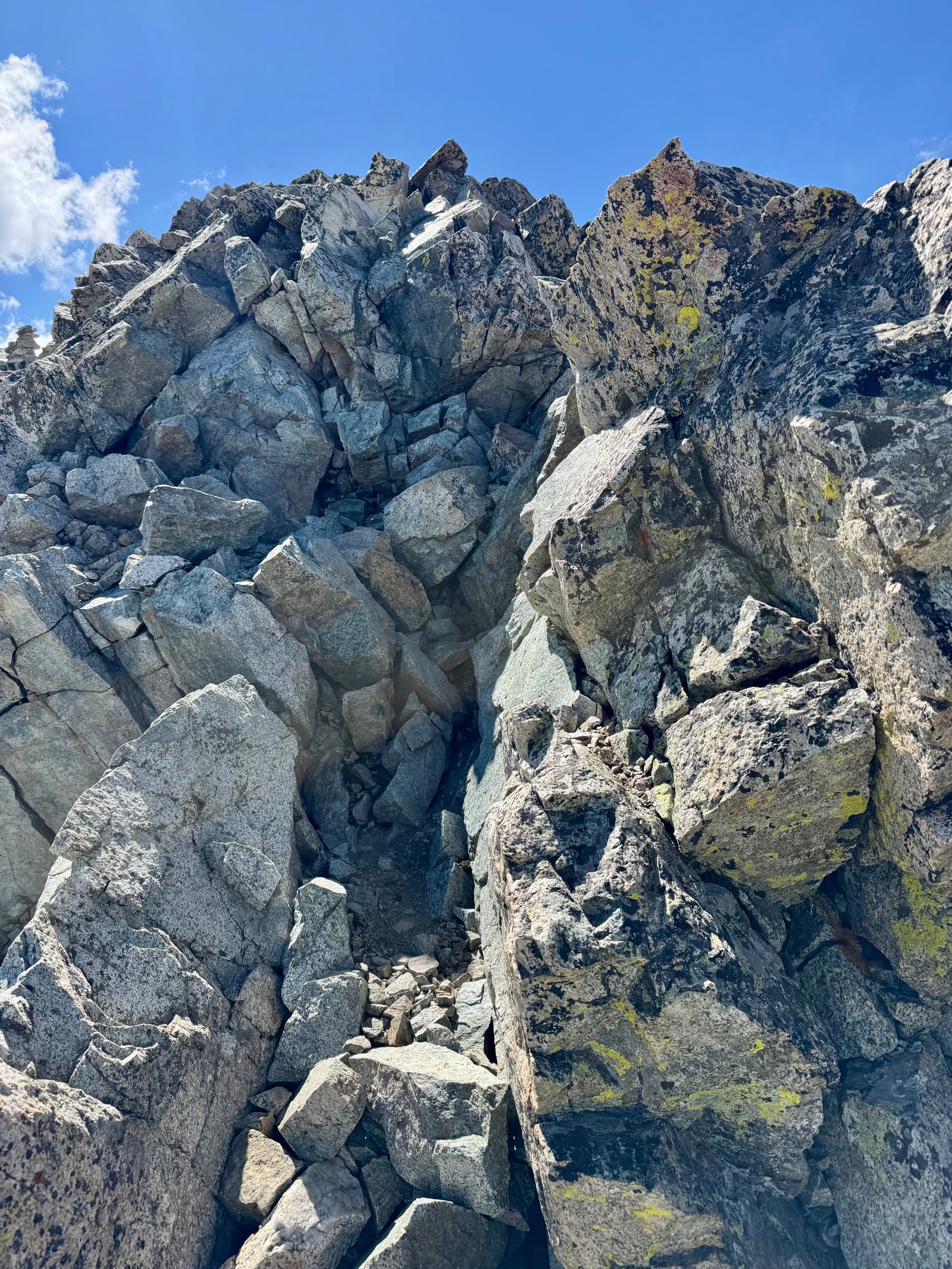
It was a tight squeeze to exit the chimney at the top but I managed. The other pair were debating turning around so I didn’t stop to wait. At the top of the wall, easier scrambling ends in a trail that leads to a false summit.
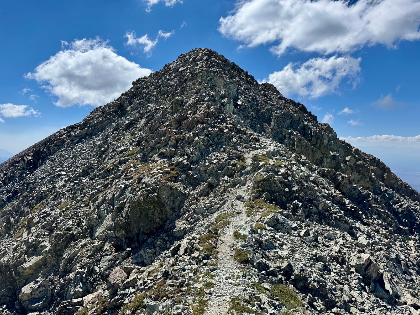
The highpoint is a 0.2 mile walk away, along the gentle summit ridge. I reached Mt. Lindsey’s summit at 10:30am.
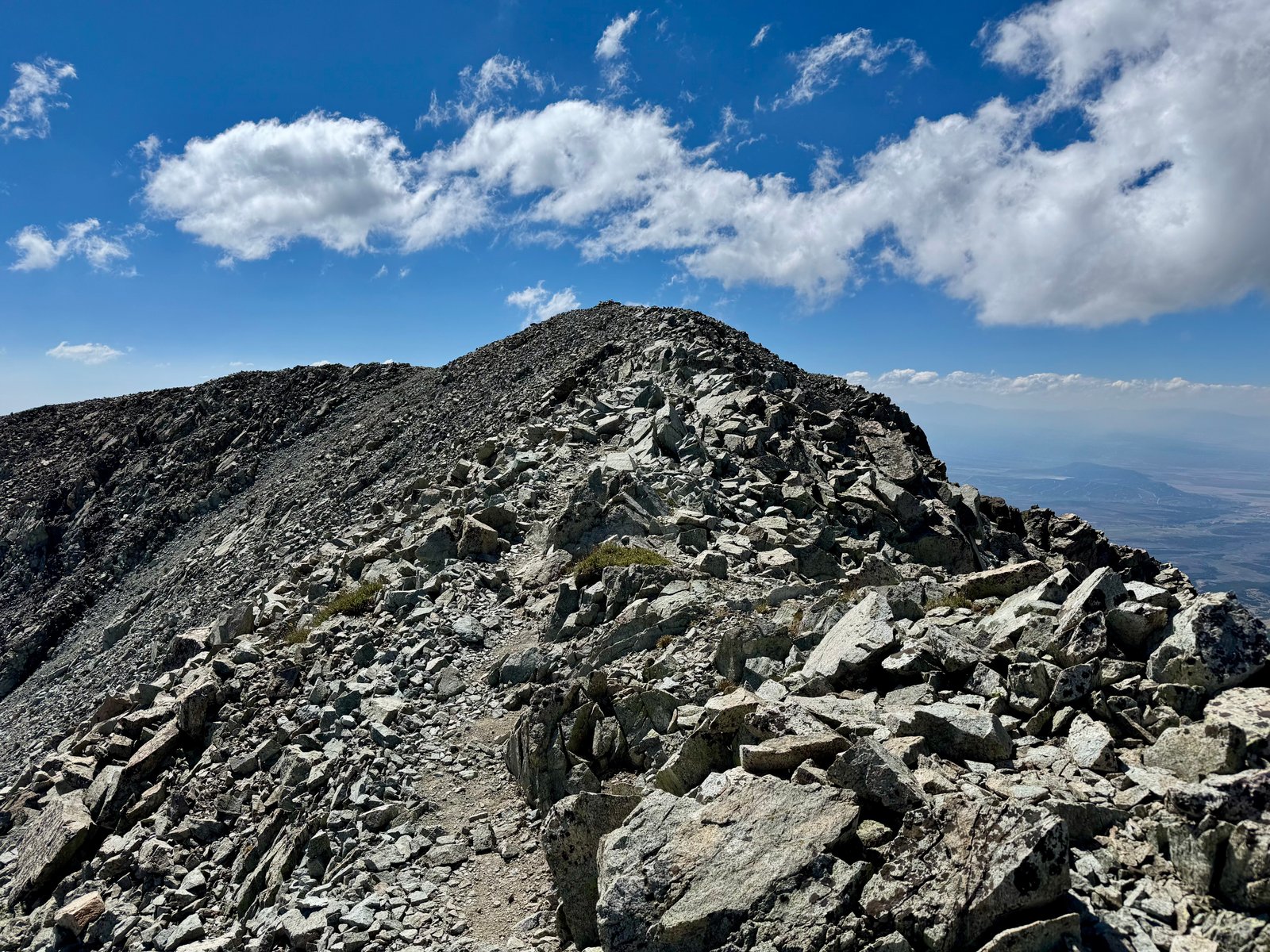
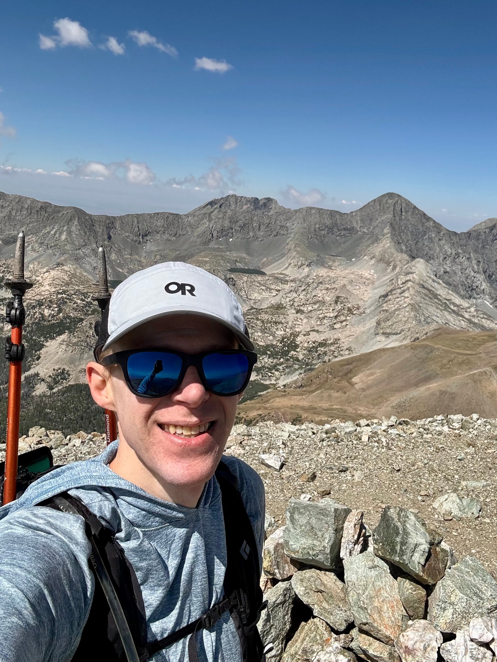
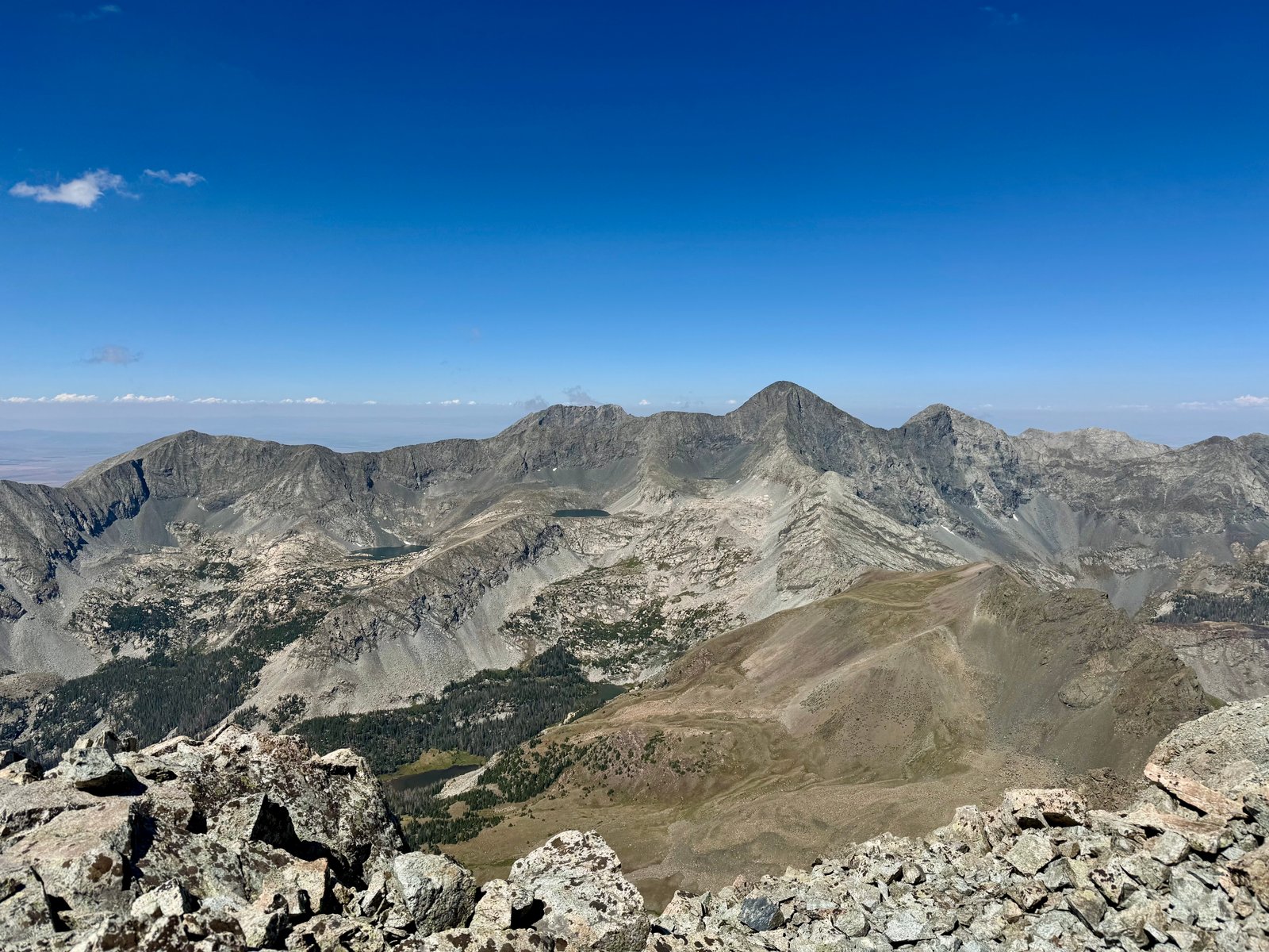
I was pretty tired at the summit and enjoyed having it to myself for about 20 minutes before I started back down. Below the false summit, I ran back into blue jacket guy from earlier. He explained that his wife wasn’t comfortable finishing the chimney climb out of the crux wall and she had decided to wait for him while he summited. It was apparently her first 14er (something like his 17th) and they were both surprised by the poor quality of the gully and the climbing at the crux wall. When I got back to the crux wall, his wife asked me to keep an eye out for her phone, which she had dropped while down climbing to a more comfortable spot to sit. I soon spotted the phone wedged between some rocks and returned it to her. From talking to her, it sounded like she had climbed what I thought was the hardest part of the crux, but she just wasn’t comfortable with the final move to squeeze out of the chimney. There were other options but she was ready to call it, which is never the wrong decision.
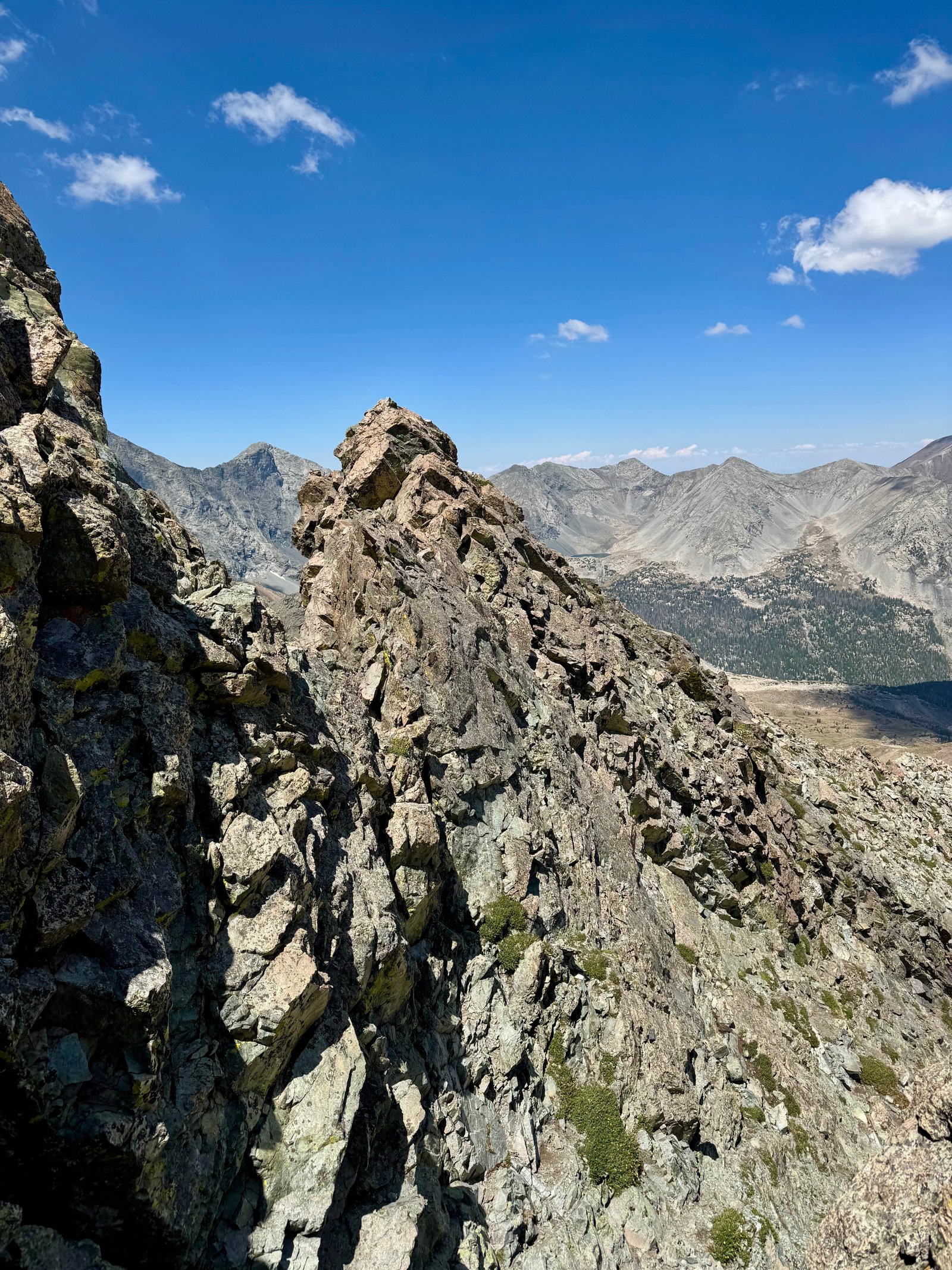
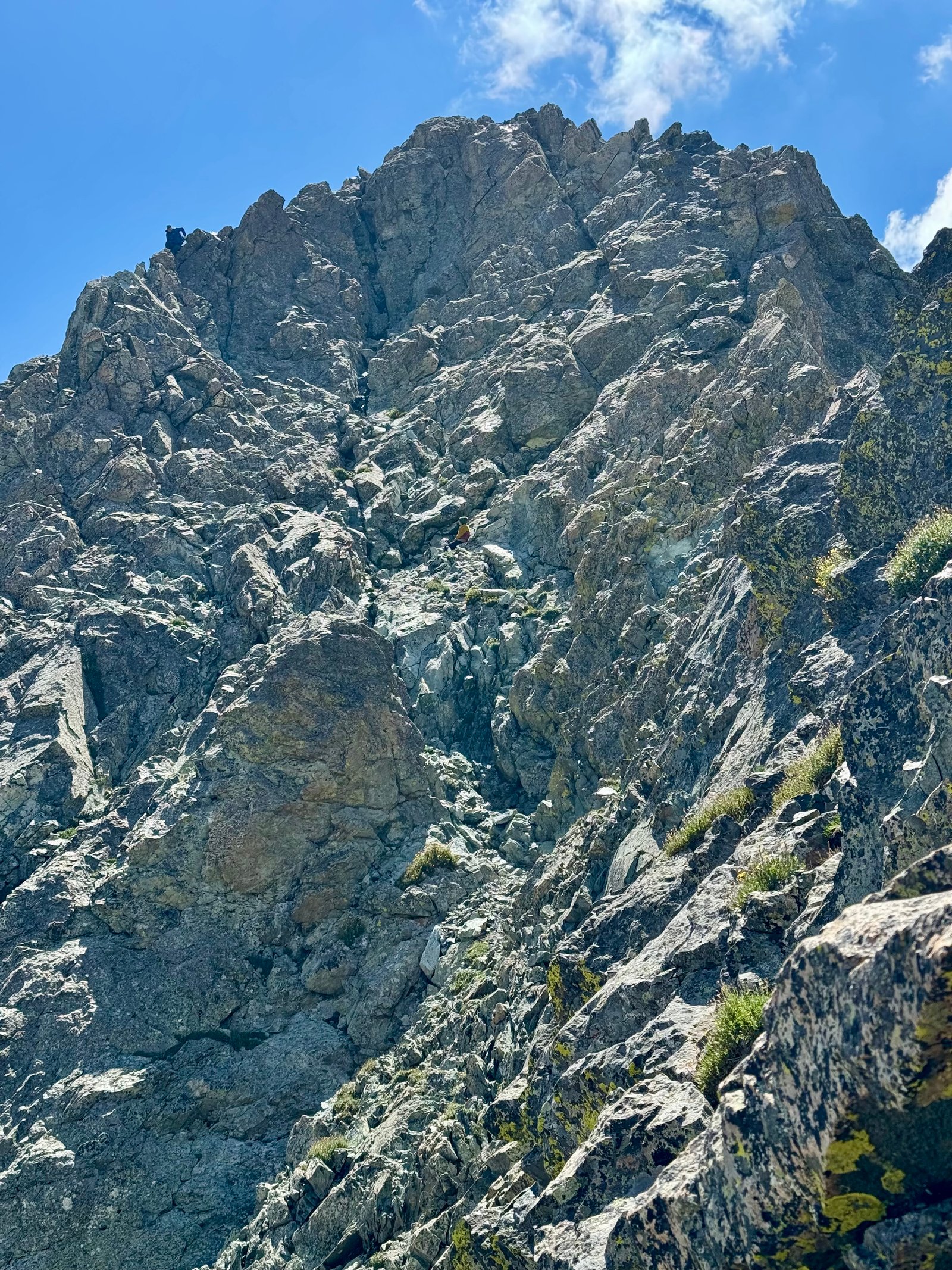
Speaking of wrong decisions, this time I easily found the correct path from the base of the crux back to the ridge to avoid the ridge spires.
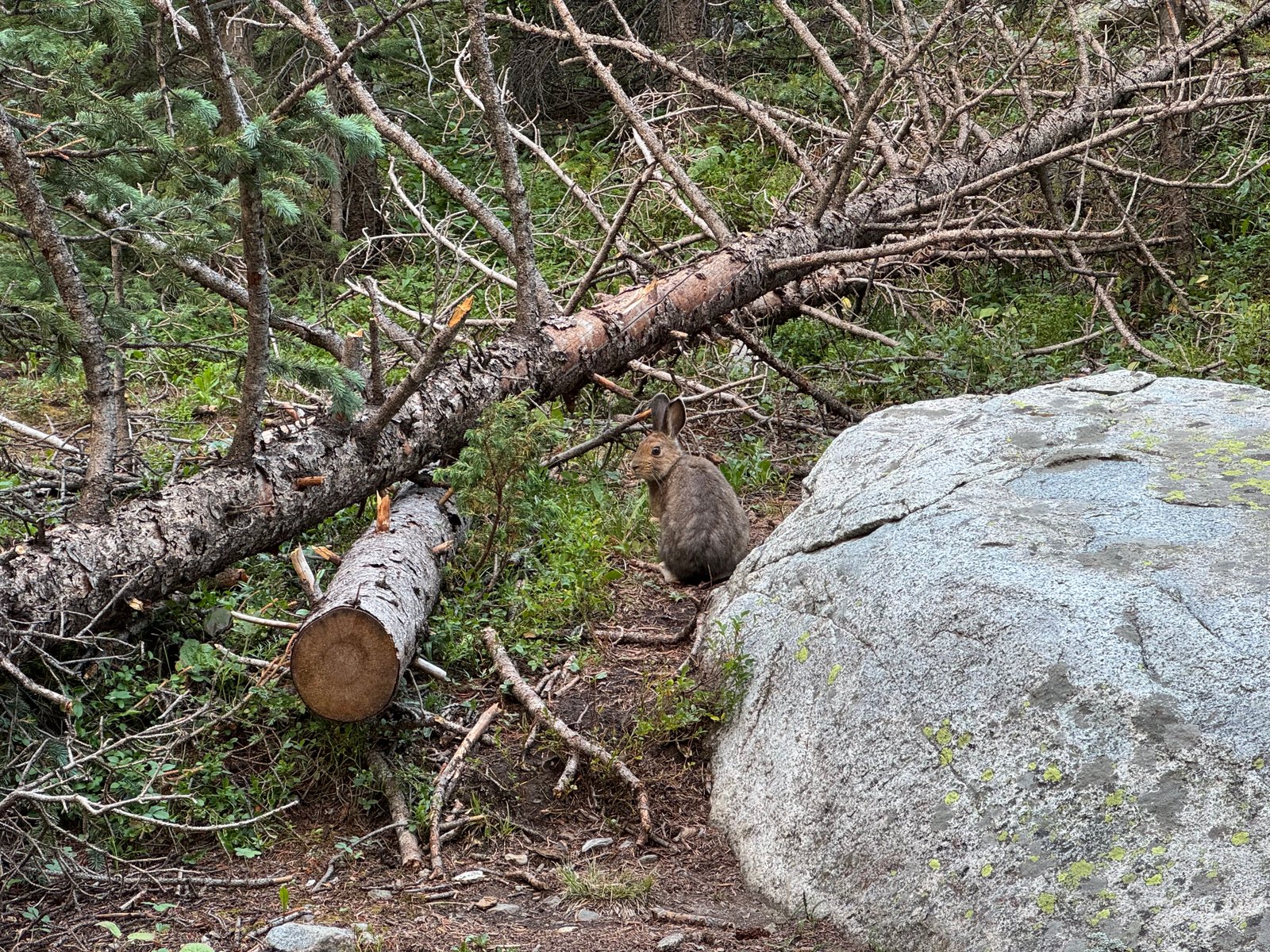
As I left the ridge and began hiking down, I began to notice the distinct smell of smoke on the air. I couldn’t really tell if the sky was especially hazy but it felt like hte peaks in the distance were fuzzier than normal. Also around this time, the elevation and lack of acclimatization caught up with me and I grew more and more fatigued. My pace was slow but I didn’t stop because it was hot and I just wanted to be done so I could rest. I took a total of four photos between the crux wall and the trailhead and three were of this marmot in the basin.
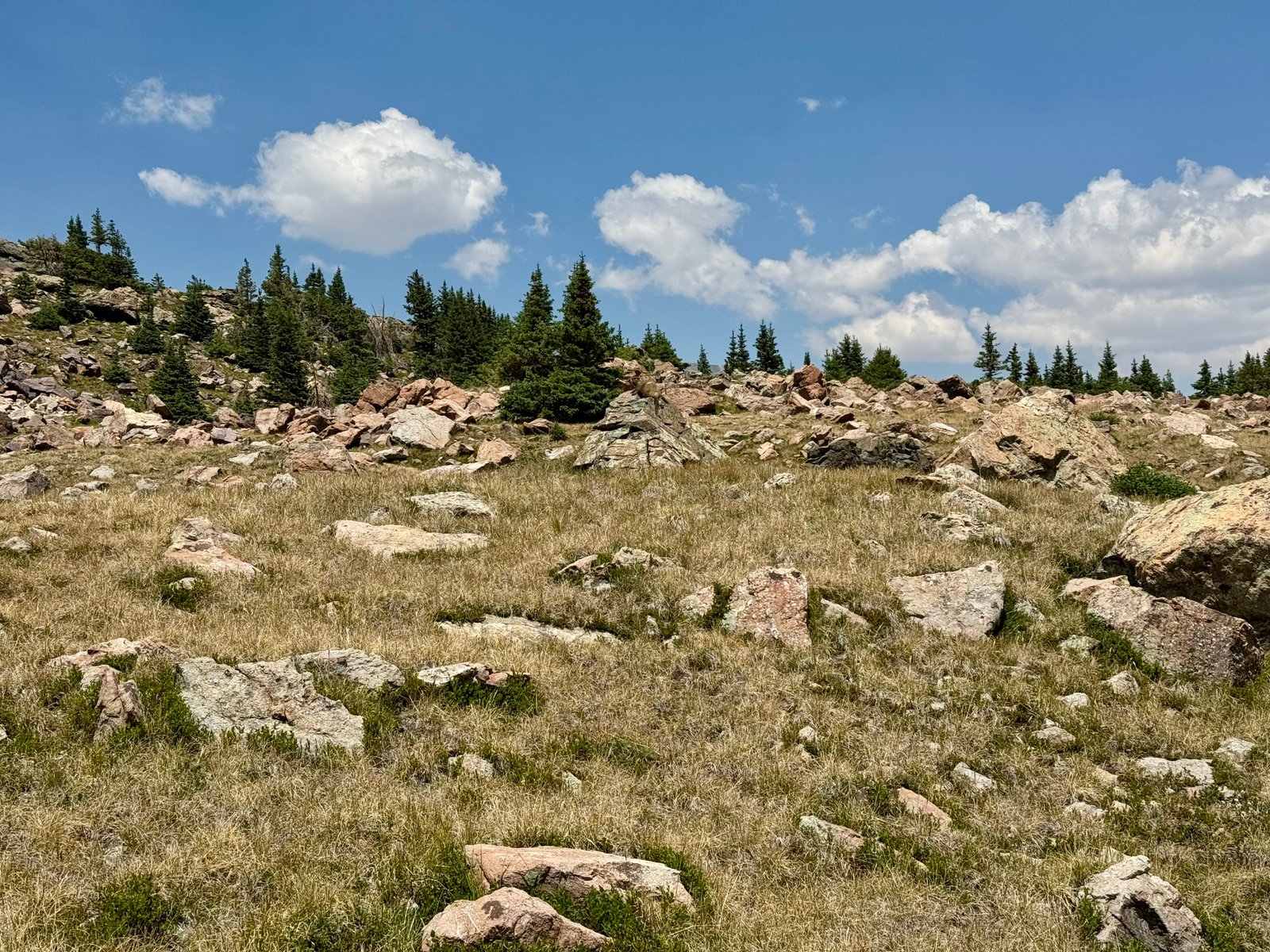
In hindsight, I also hadn’t eaten enough and I should have stopped to finish the food in my daypack. But elevation also suppresses appetite and I was being stubborn about getting back to camp first. I eventually rolled back into camp around 2pm. Total time was 7:42 car-to-car, 7.9 mi, 4,062′.
I napped for an hour, ate some food, and packed up camp. On the long, bumpy drive back to paved roads, I began to see the source of the smoke smell: the Aspen Acres Fire smoke plume had blown our direction.
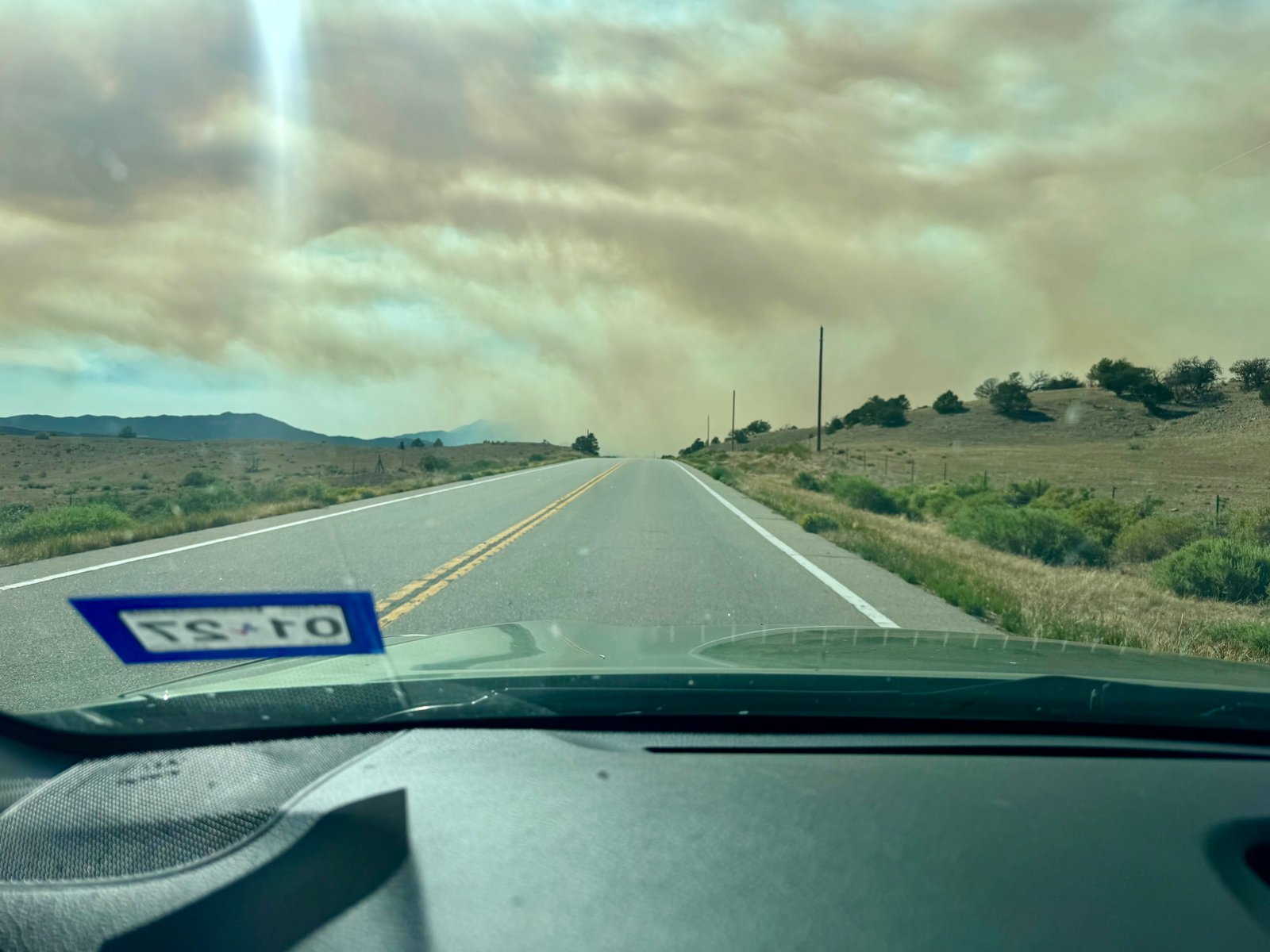
I drove north to Salida, which involved driving more or less directly through the smoke cloud, which was eerie.
An hour or so later, I arrived in Salida, got a motel room, took a shower, ate a whole pizza, and spent the rest of the day in bed. Tomorrow would be the rest day / acclimatization day that today probably should have been.
Tuesday, July 21
I felt a lot better in the morning, enough to decide that maybe I could try hiking something anyway. I’d slept late but the forecast for the southern Sawatch range looked good, with storms expected to hold off until late afternoon. I figured I’d drive over to the trailhead for Mt. Antero and hike as long as I felt like. I didn’t expect I’d get close to the summit but I thought maybe if I got into a good groove and got lucky with the weather, who knows. And it’d probably be good for acclimatization anyway.
Mt. Antero is just northwest of Salida and it was only a 30 minute drive to the Browns Creek trailhead. I arrived at 10:15am and it was already hot and crowded. Little Browns Creek is not the standard route up Antero; the West Slopes route is the standard because a 4-wheel-drive road goes to 13,000′. I don’t have much interest in driving or hiking that particular road, though, and Little Browns Creek (16.25 mi and 5,500′) is only slightly longer than hiking the West Slopes road from the bottom (15.5 mi and 5,200′) and surely much more pleasant.
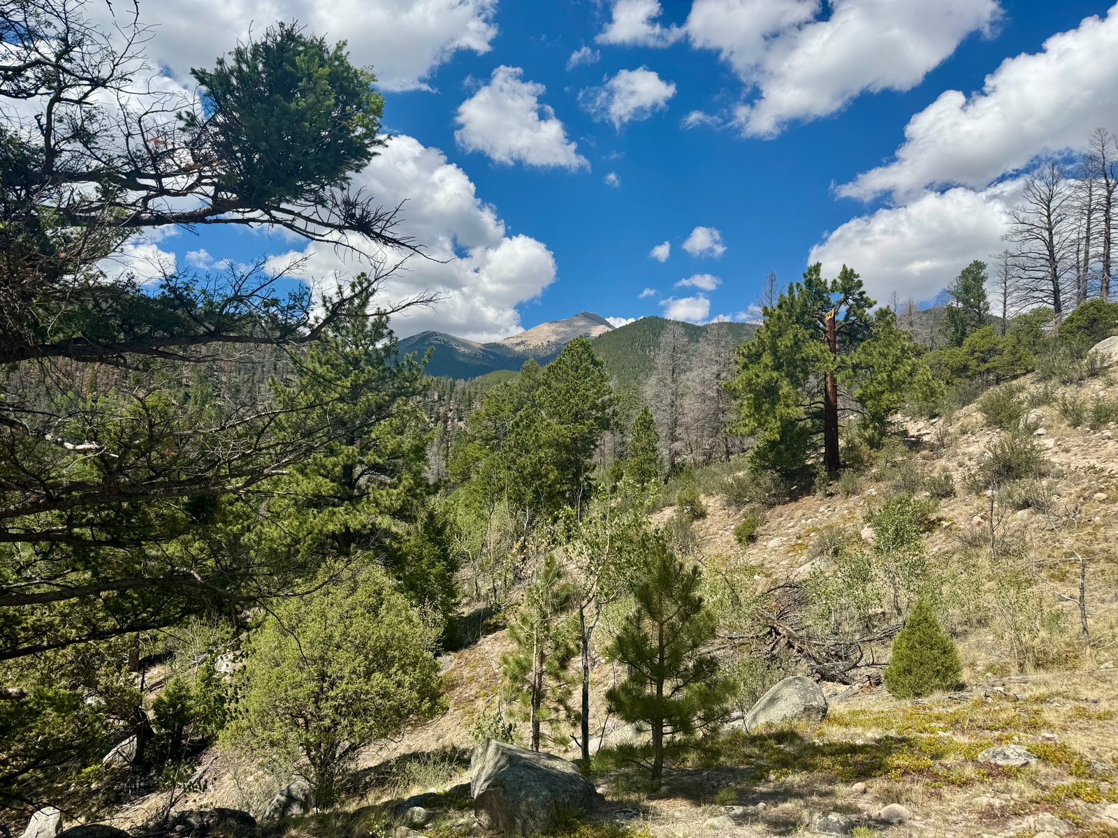
Maybe it is more pleasant but it wasn’t all that pleasant. Long story short, it was hot, the first part of the trail is in the sun, and there were enough clouds to make it obvious that I wasn’t going to get a storm-free afternoon, so I turned around after 45 minutes, just after a short junction where the route follows the Colorado Trail. I still plan to use this route next time on Mt. Antero because of the advantages to the 4WD road, but this is one to start pre-dawn: it’s a long route from low elevation on the eastern slopes, which makes for hot, sunny mornings. My rest day acclimatization hike ended up being 2.8 miles and 900′ gained, which is better than nothing.
Rather than stay put and try the same thing again tomorrow, I decided to relocate just south, to the Mt. Shavano trailhead (after having another real meal in Salida). The road to the trailhead is across from the Salida airport and is 9 miles long, unpaved and bumpy for the last 6.5. The Outback bounced around a lot but otherwise fared fine, and I had parked and set up camp by 3:30pm. Cows moo’d non-stop from a nearby field. One of them, apparently lost and following its ears, bolted through my campsite in their direction.
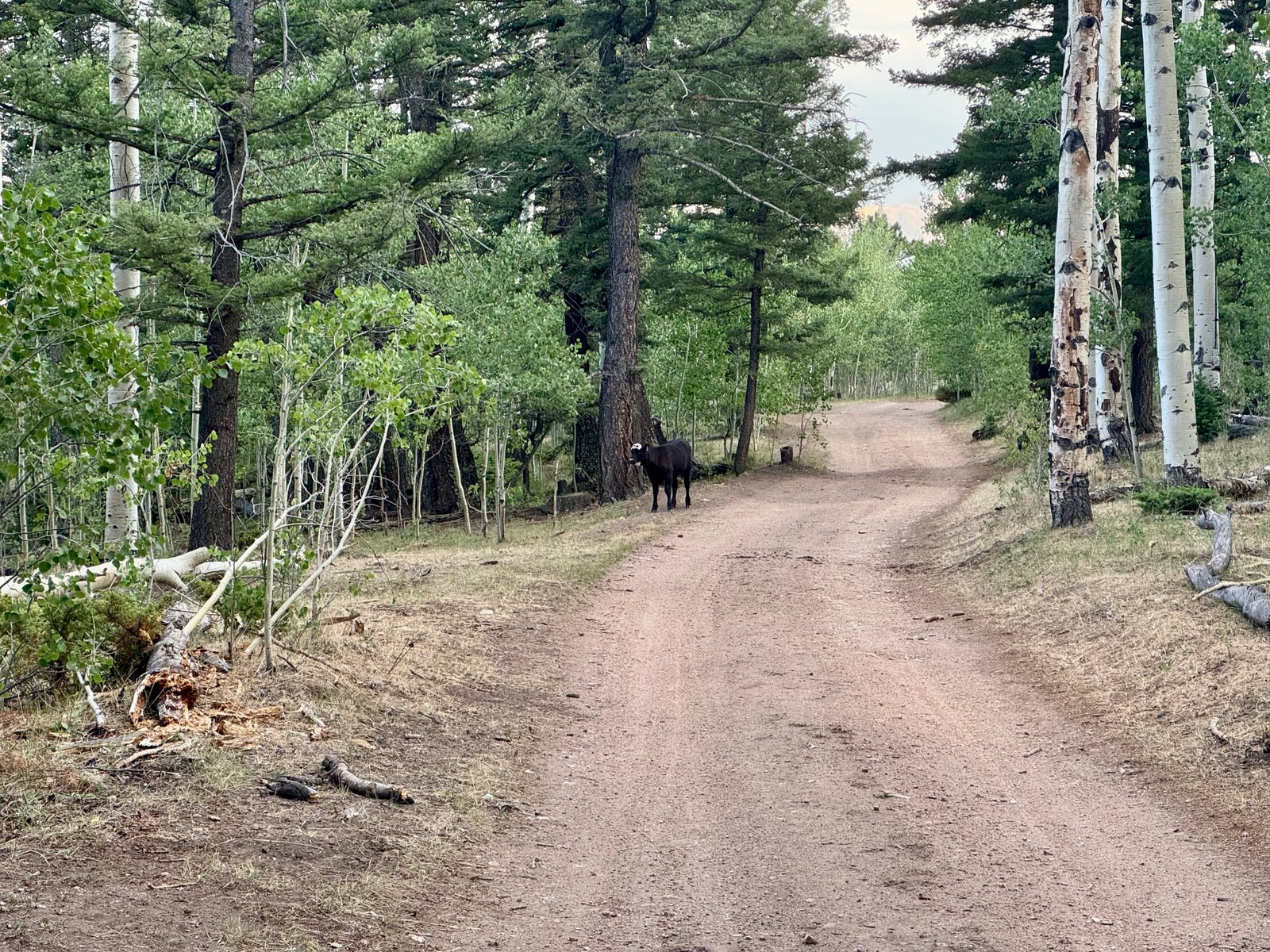
As usual, I was in bed just after dark, around 9pm, with an alarm set for 4am. This is the standard Shavano trailhead which means it is popular, so there were other cars arriving through the evening and in the early morning, but I was camped down the road 100 yards from the main trailhead parking, in one of several overflow parking options. Around 10pm, a group of several vehicles arrived at the trailhead and a large group of talkative small children unloaded and began exploring while the adults opened and closed doors. I was annoyed but hey, busy trailhead, comes with the territory. Eventually, though, one of the cars pulled up into my campsite, shining its headlights into my tent before parking directly next to my car. Also around this time, the kids explored far enough down the road to my tent and walked up to it, loudly saying things like “is that a tent?” and “is anyone in there?” From my sleeping bag, I asked “can I help you?” and when no one replied, I asked if they could please keep it down because I was trying to sleep. The kids left and a few minutes later so did the car and they found the other overflow parking spots further down the road in a large, empty field. I don’t expect silence or solitude at these trailheads, and I’ve certainly pulled up to trailheads after dark, but I do think that if you arrive an hour after dark in a large group, you could consider making an attempt to keep it down.
Wednesday, July 22: Mt. Shavano (#33) and Mt. Tabeguache (#34)
I was on the trail by at 4:25am. The Shavano trailhead is at 9,750′ and takes 5 miles to gain the 4,500′ to the summit, but nearly 3,000′ of that is in the last 2.5 miles. The first 2.5 miles in the dark through the trees were relatively easy hiking. The sky began to light up at 5:30am and I could see the sun by 6am.
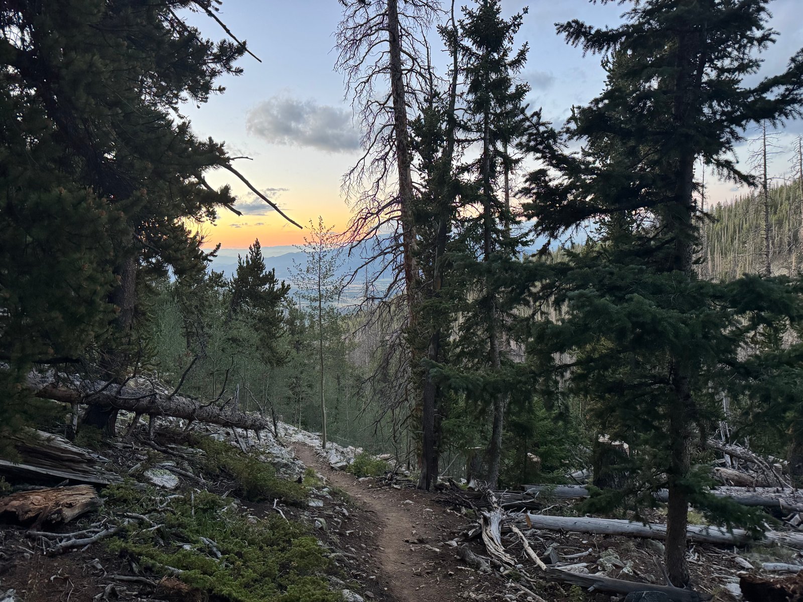
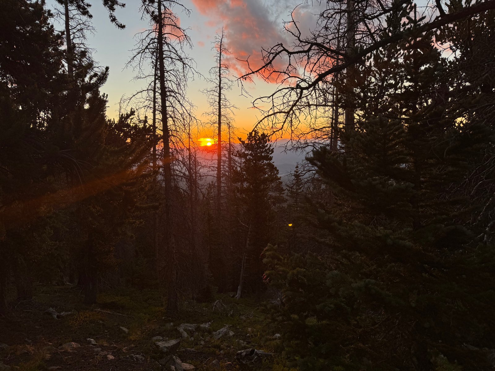
Near tree-line, a Colorado Fourteeners Initiative volunteer passed me twice, the second time carrying gear he had retrieved from a cache. There were several more CFI crews working on Shavano’s upper trail, which they have now re-routed to stay higher on Shavano’s east slope and to fully avoid the saddle with 13er Espirit Point to the south. The Shavano trail is largely excellent now, thanks to their hard work.
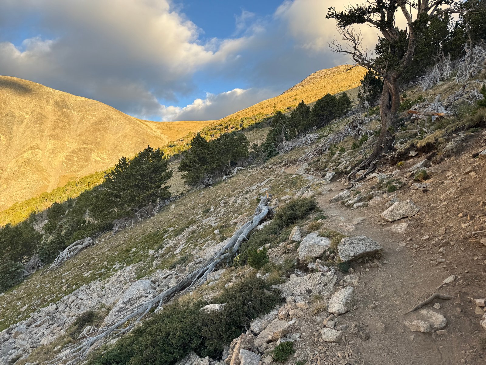
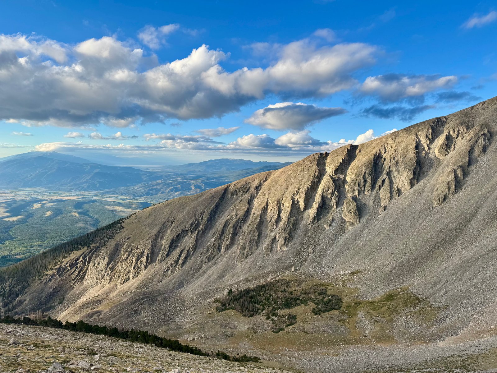
Some dark clouds blew through but nothing big seemed to be building and sticking around yet, and the sky soon cleared.
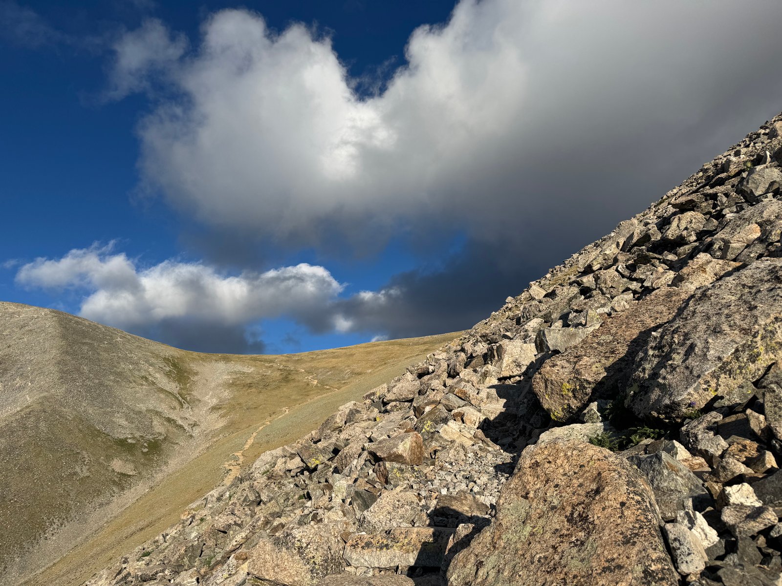
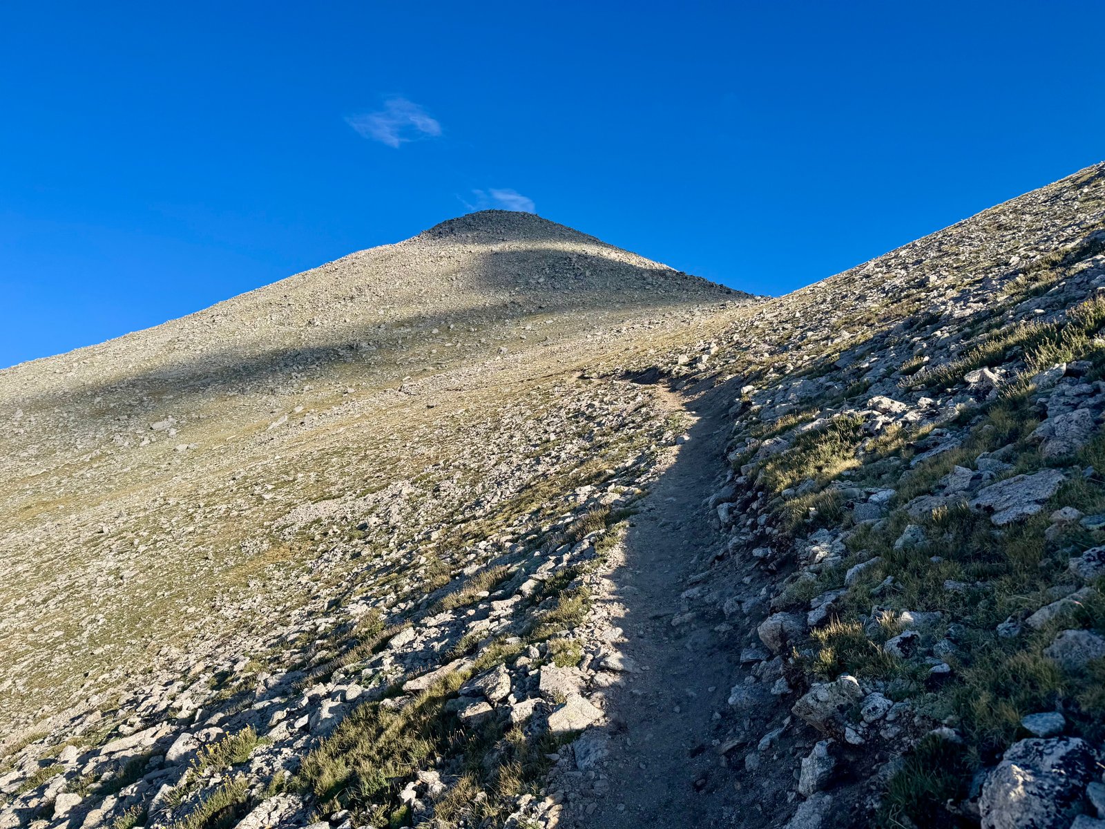
Around 13,400′, the trail reaches a saddle and flattens out before the final climb to the summit.
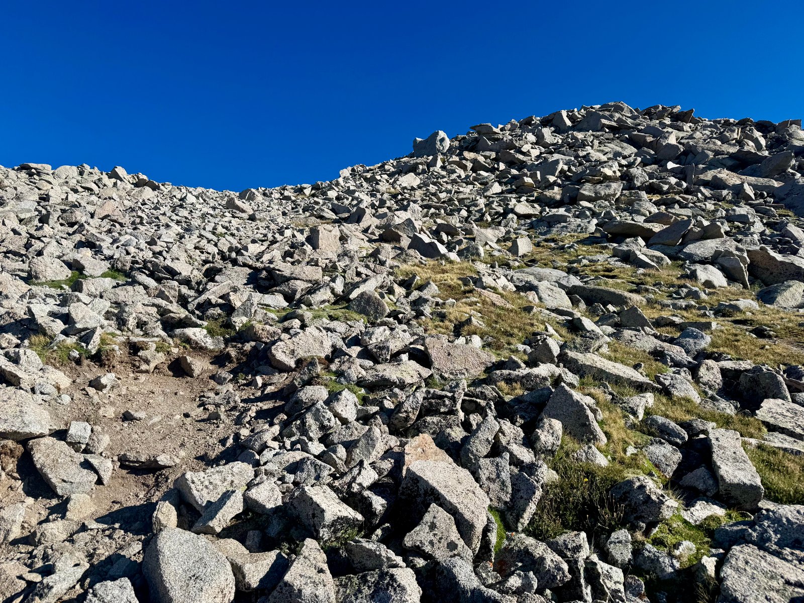
The final couple hundred feet are a pretty steep jumble of boulders to hop up but it’s straightforward and doesn’t exceed class 2.
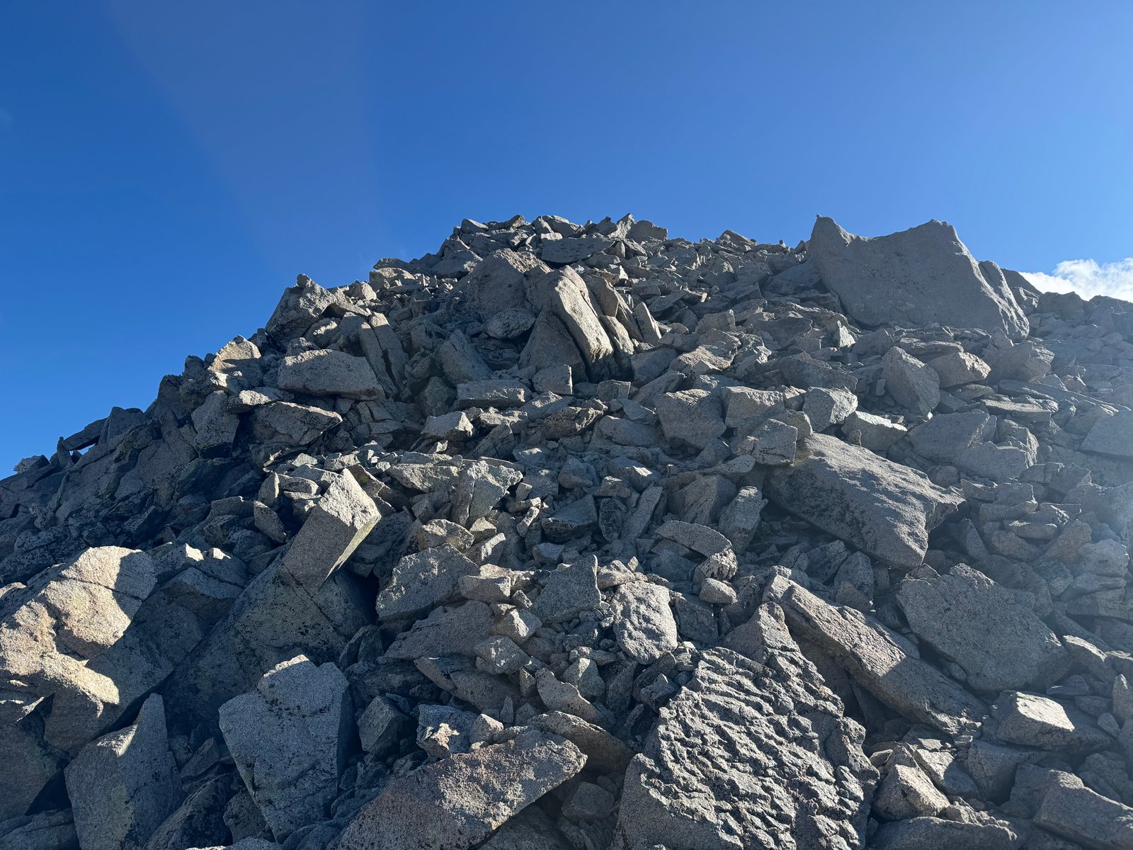
I reached the summit at 8:15am, for a 3h50m travel time from the trailhead.
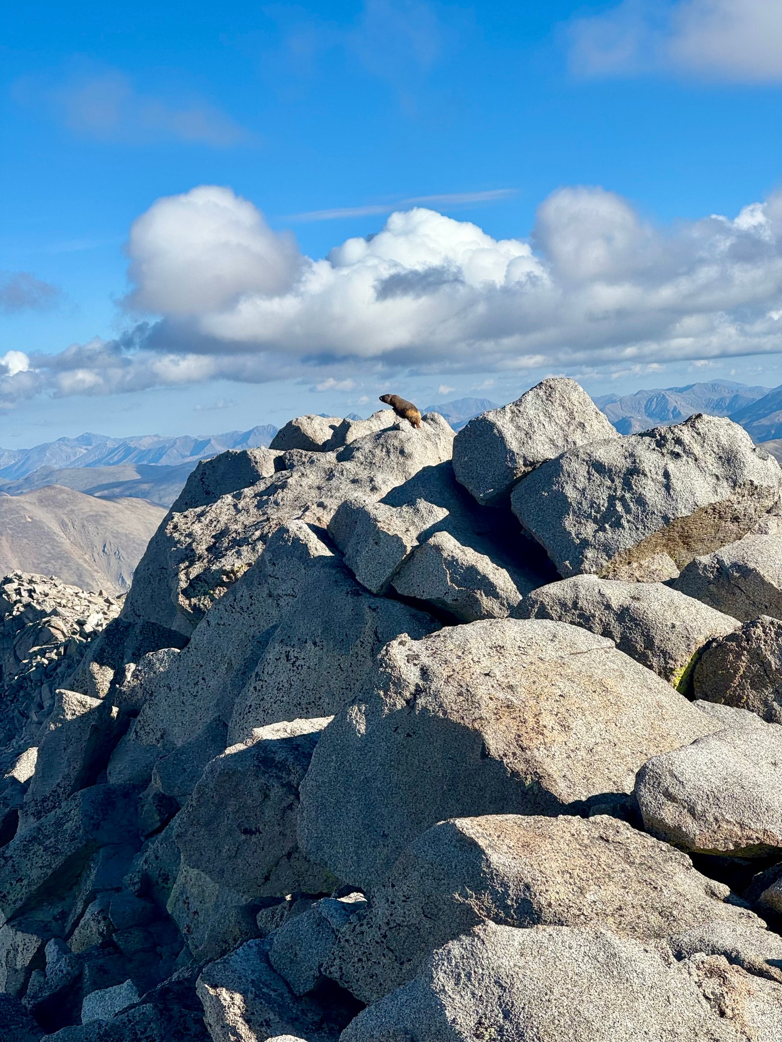
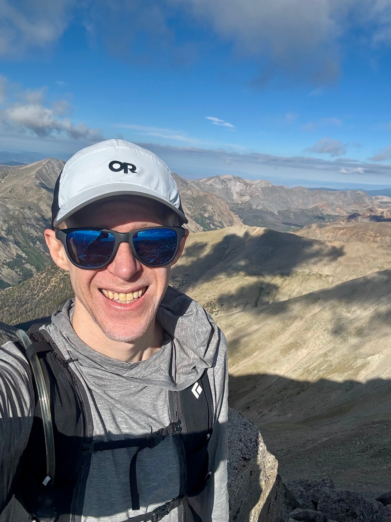
Once again, the sky seemed mostly smoke-free although maybe the horizon was hazy. I still felt like I could see basically to the Elk Range as usual.
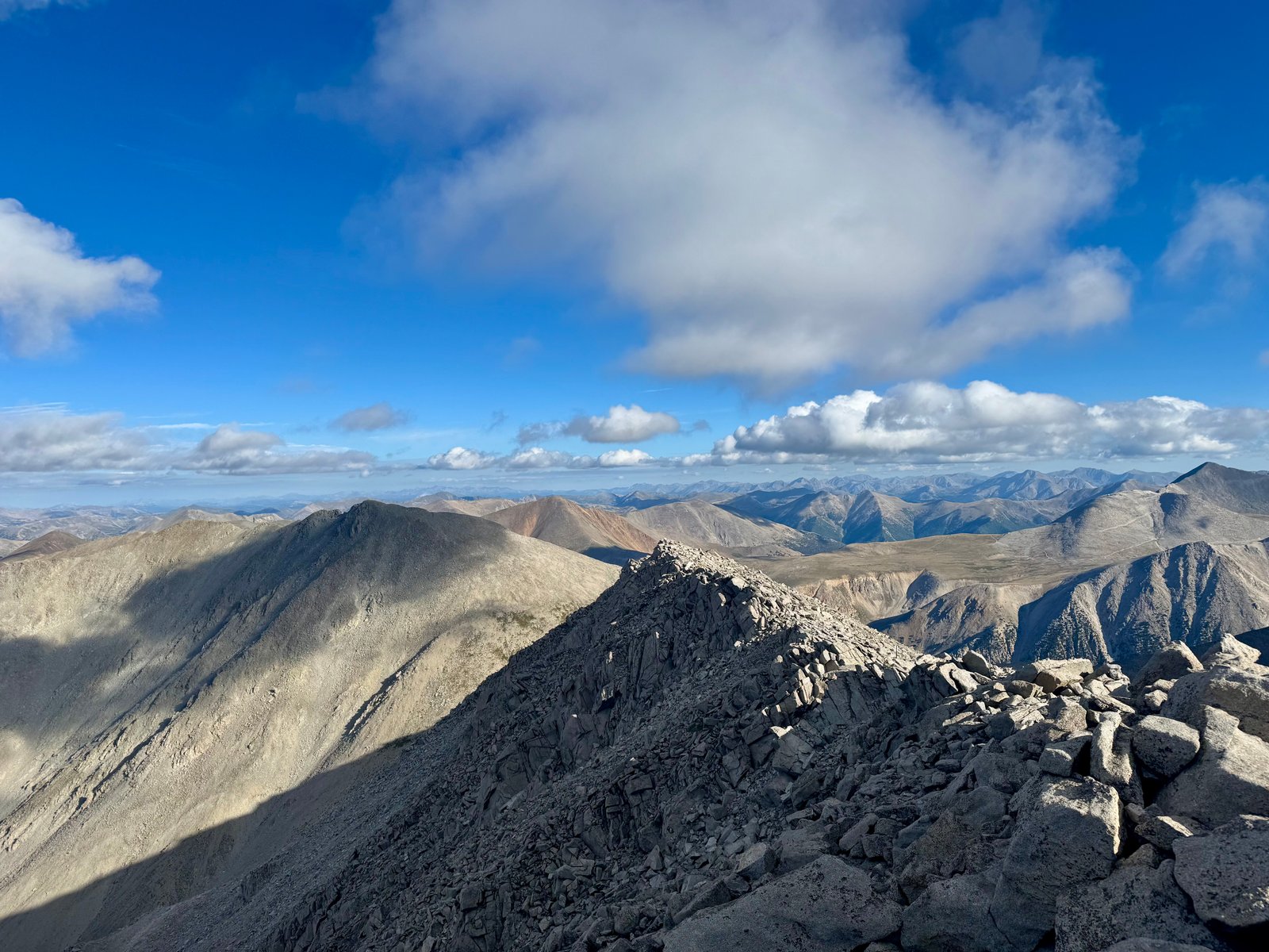
I hadn’t exactly raced up Shavano but I made reasonable time and didn’t feel totally exhausted so I still planned to go for Tabeguache as well. Clouds were still moving around overhead but there was still nothing nearby that looked dangerous. It’s about a mile from Shavano to Tabeguache and the trail loses 600′ and gains 500′ of it back, before retracing those steps back to Shavano. I left for Tabeguache a little after 8:30am.
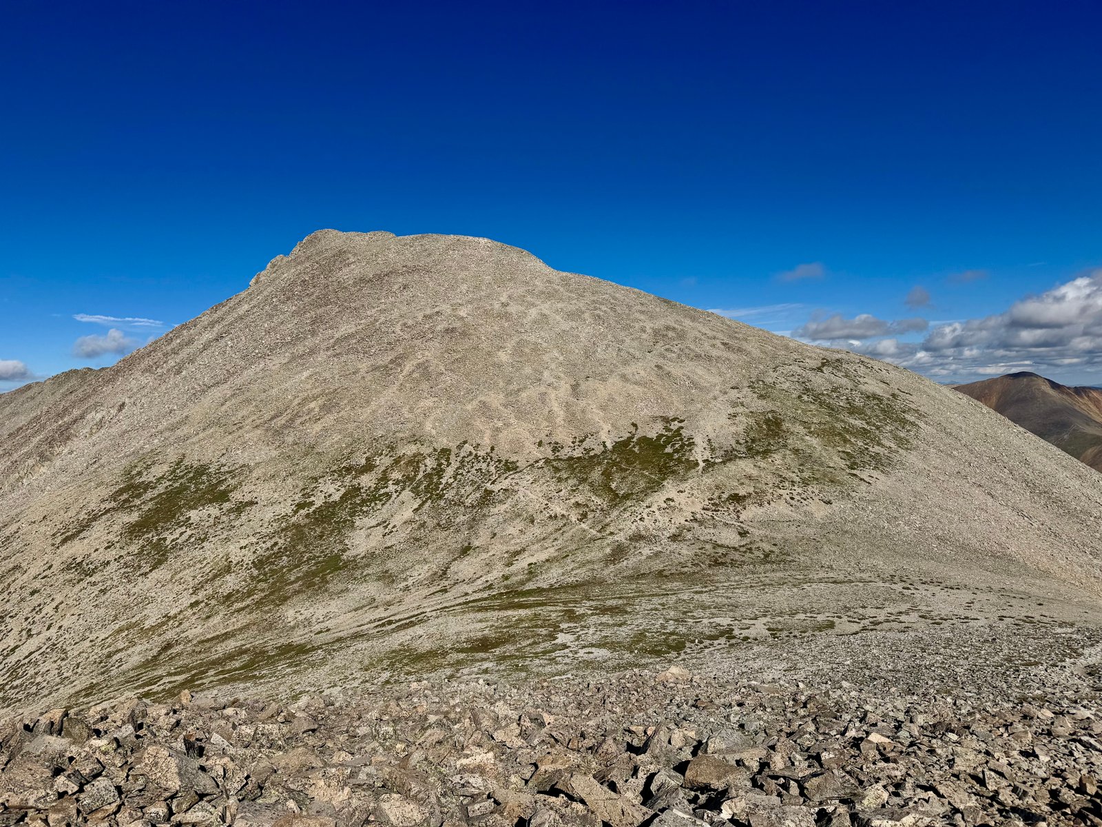
After 20 minutes of rock-hopping down to the saddle, there are any number of trail segments that rock-hop up to Tabeguache’s summit. You can see them above.
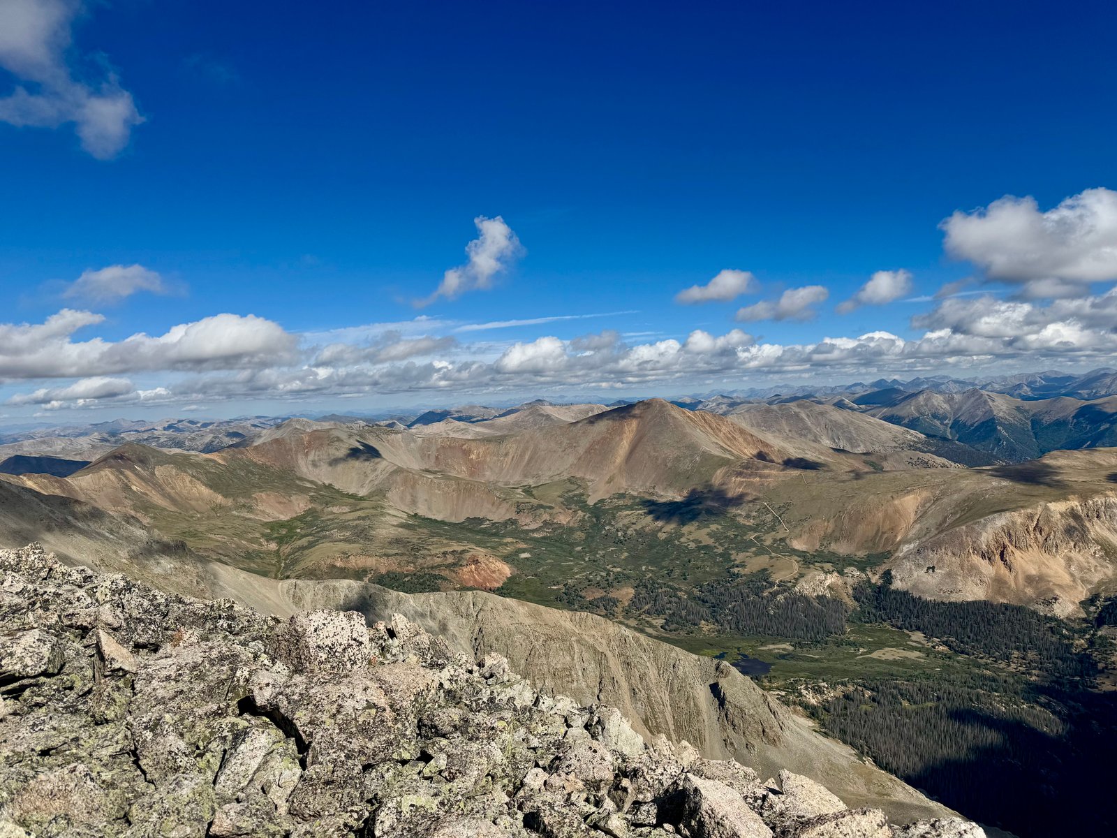
Clouds were getting bigger and darker so I tried to hurry to the summit.
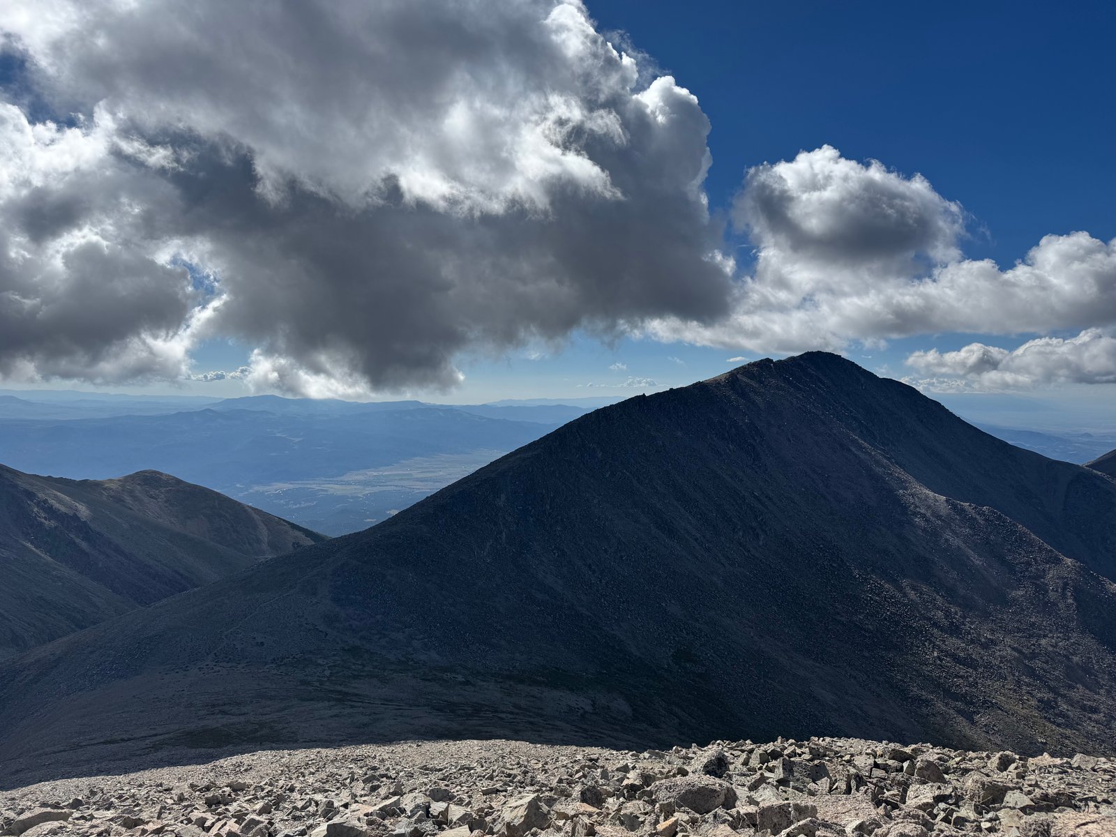
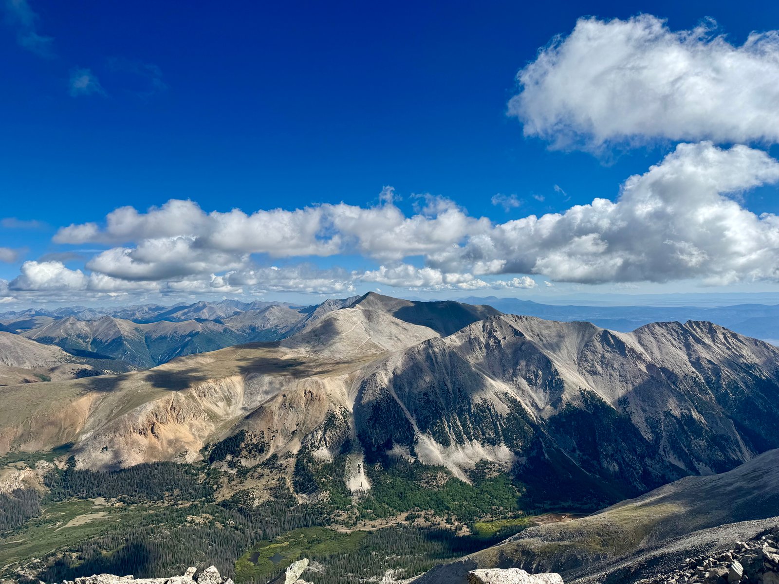
I was on top of Tabeguache at 9:18am and I was heading back to Shavano at 9:20am.
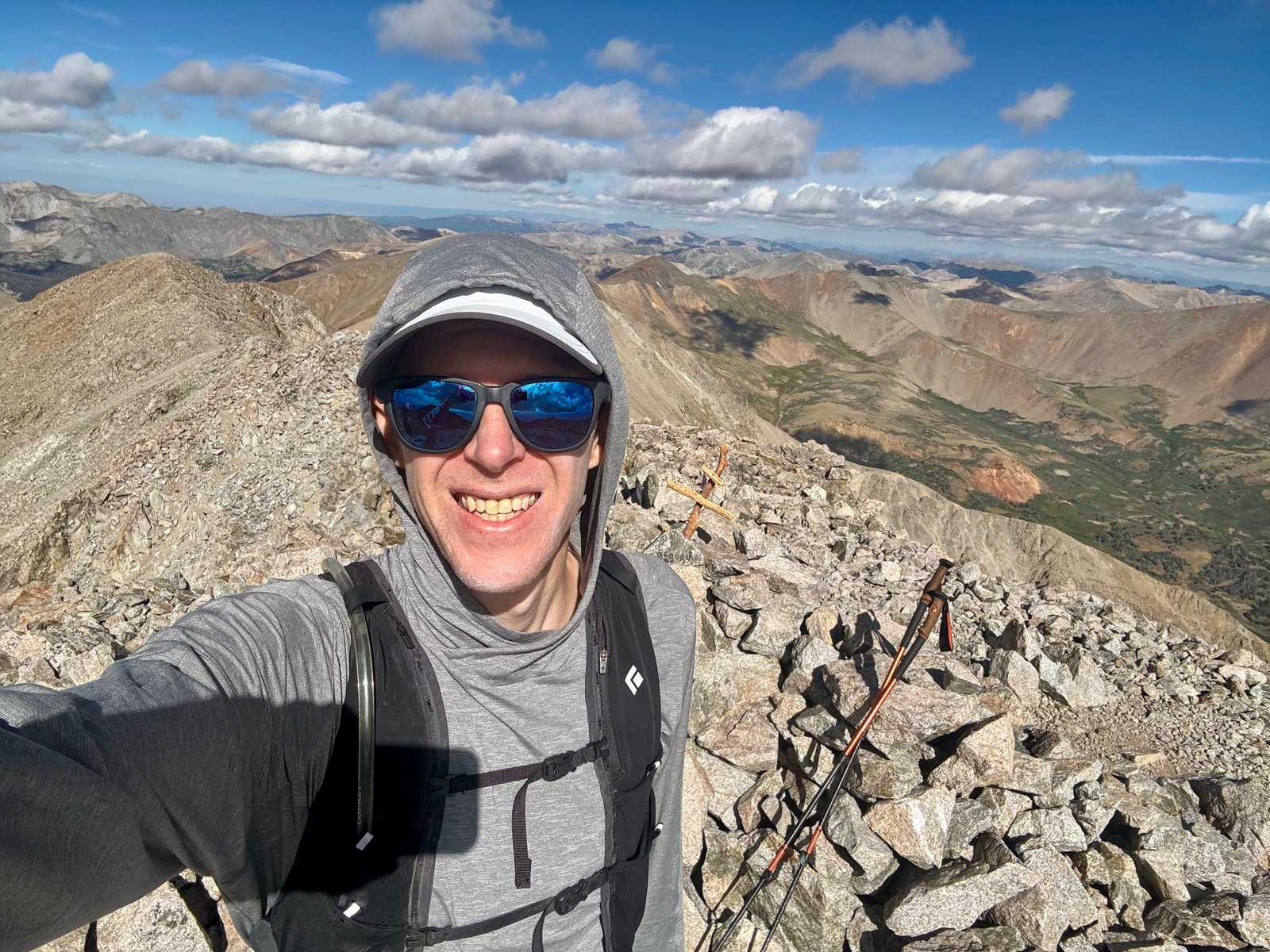
It doesn’t seem like it, but the most convenient return path is indeed over Shavano’s summit. Some trip reports talk about trying to skirt it to hiker’s left and deciding it was more trouble than it was worth; I found I had veered a bit left below the summit and climbed back to the ridge crest to reach Shavano’s summit again around 10:10am. Tabeguache had taken about 1:40 there-and-back, 50 minutes each way.
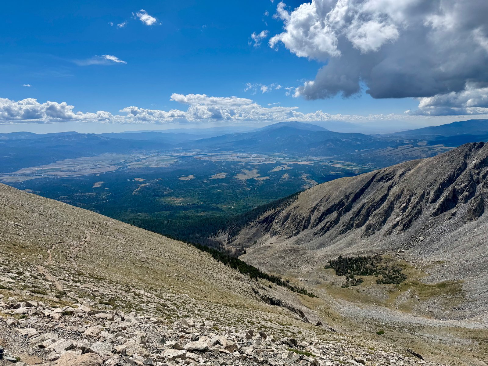
Clouds or no, there were plenty of hikers coming up while I was coming down. I hoped most of them wouldn’t go for Tabeguache. I made good time descending and walked back into camp just as the thunder and rain started, at 12:45pm. Total time was 8h18m for 9.2 mi and 5,604′. I took a short nap and then packed up camp during a break in the rain and drove back into town through heavy rain. Another hotel bed and shower, another pizza demolished, and another rest day tomorrow.
Thursday, July 23
Another rest day but I felt much better than two days ago. I lingered around Salida through lunch and then drove north to the Missouri Gulch trailhead. Belford and Oxford’s standard routes also leave from this trailhead, and Huron and La Plata have trailheads a few miles further up the road at the Winfield mining ruins, so I’ve been up and down CR-390 a few times. I wanted to scope out campsites but there were more campers than usual (possibly because the Clear Creek Reservoir campsite at the base of the road had been turned into a fire staging camp by emergency personnel) and I ultimately decided I’d just sleep in the car at the trailhead. Rather than hang around the trailhead all day, I drove back down to the highway and up to Leadville to kill the rainy afternoon reading at Two Mile Brewing (10,152′). The smoke plume from the Willow Fire burning on Mt. Massive’s lower slopes looked relatively small but you could see a clear horizontal burn scar across the hills. Then it was back up CR-390 to Missouri Gulch trailhead, where I found a corner of the parking lot to lay out the air mattress in the Subaru and repack the daypack. Parking lot etiquette was much improved here, if you were wondering (plenty of late night and early morning arrivals, all of whom kept it down), and I slept soundly.
Friday, July 24: Missouri Mountain (#35)
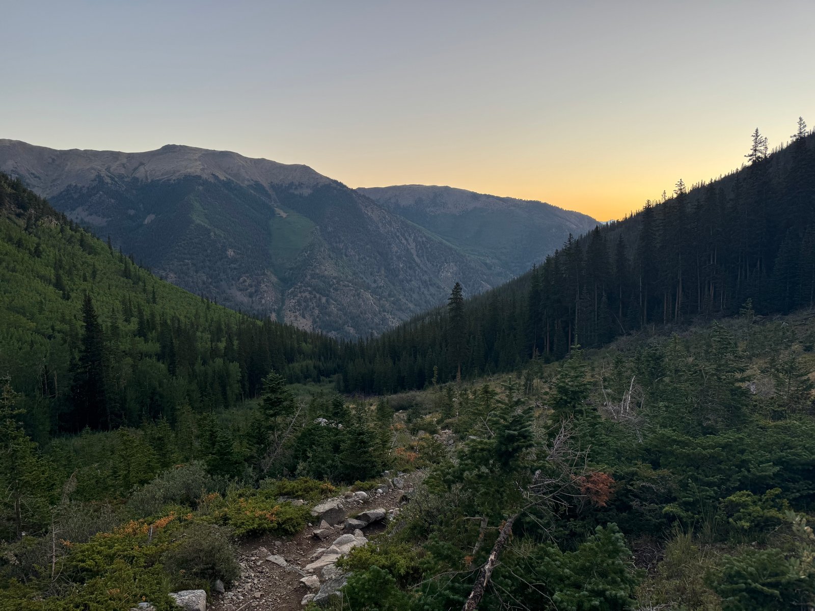
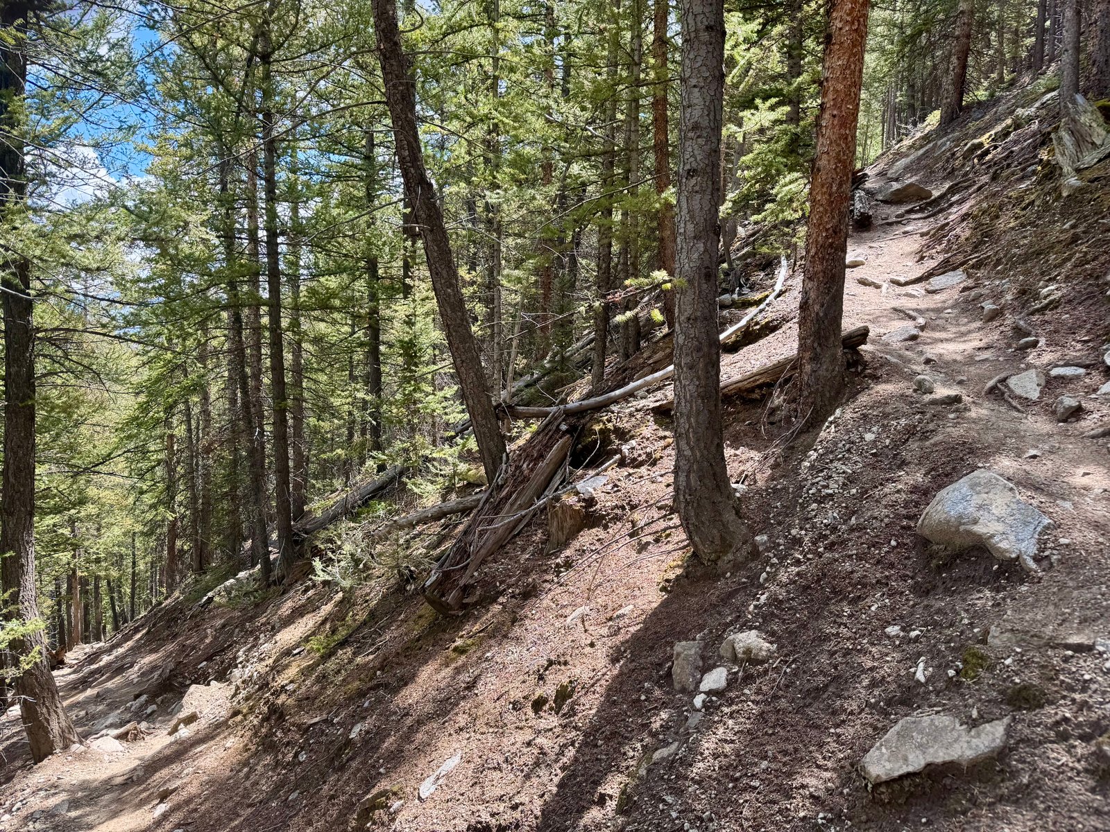
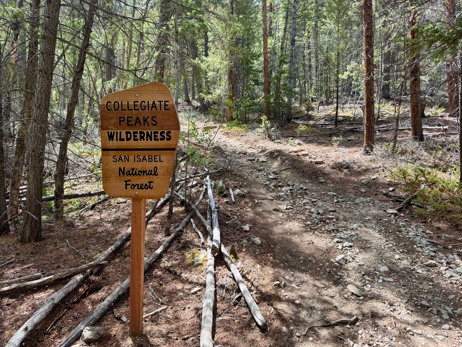
That said, I was awake before my alarm went off at 4:30am, and on the trail by 5am after breakfast (a Cliff Bar and one of those caffeinated Gatorade Propels you mix into a water bottle). I had enjoyed the Missouri Gulch area while hiking Belford and Oxford last year so I didn’t mind returning for Missouri’s standard Northwest Ridge route (10.5 mi, 4,500′), which shares a trail with the Belford/Oxford standard route for the first few miles, beginning with steep switchbacks through the woods. I braced myself for the workout but they went more quickly than I remembered.
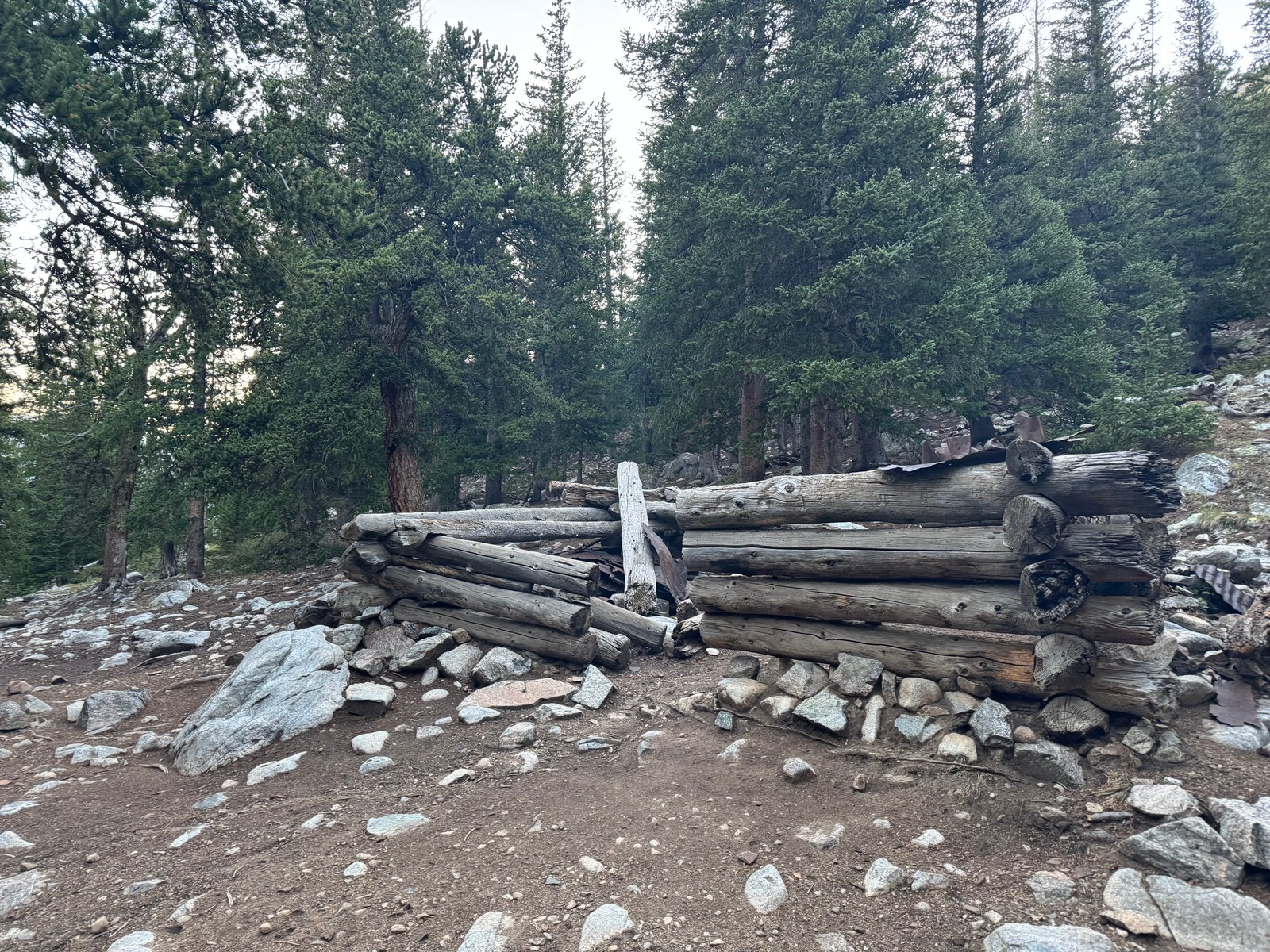
After the switchbacks, the trail crosses Clear Creek and climbs a steep hillside before passing some wooden building rubble around 11,250′, which I did just after 6:00am, on a 1.5 mi & 1,600′ / hr pace.
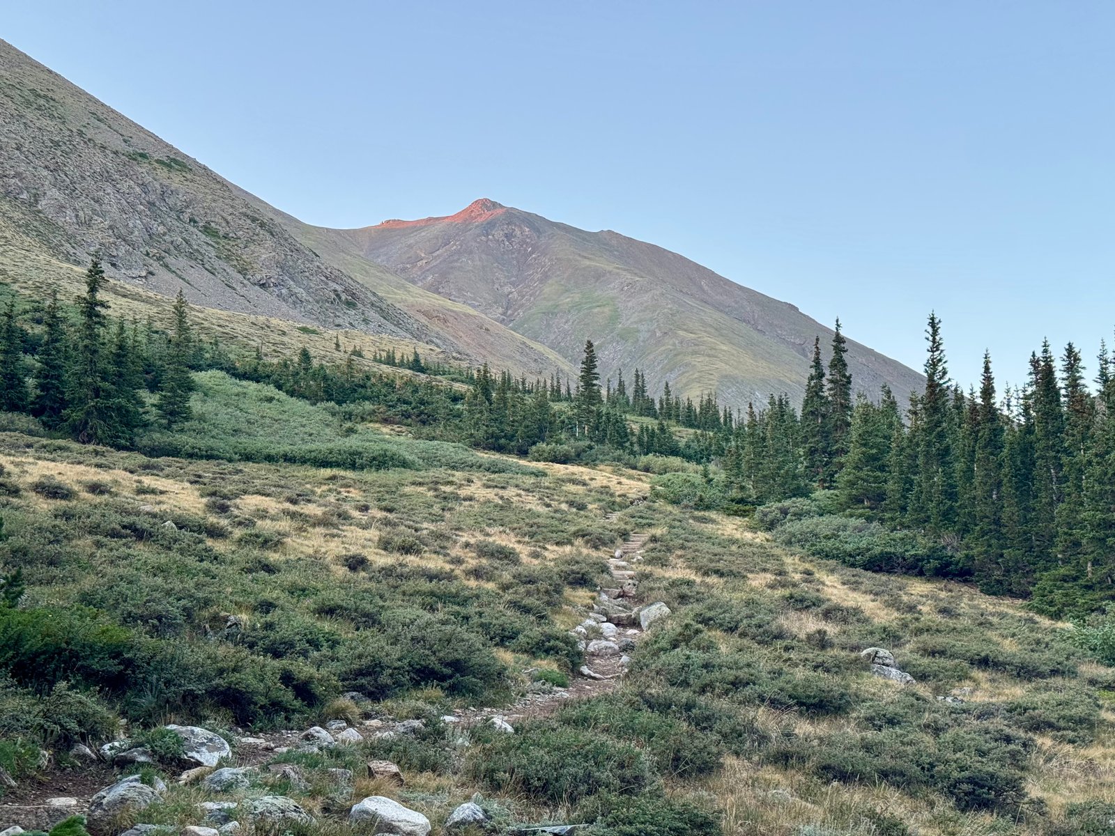
After the building, the trail climbs out of the trees and up into the gulch, with a view of Belford to the left.
Soon, there’s a trail junction for Belford to the left and Missouri Gulch / Elkhead Pass trail to the right.
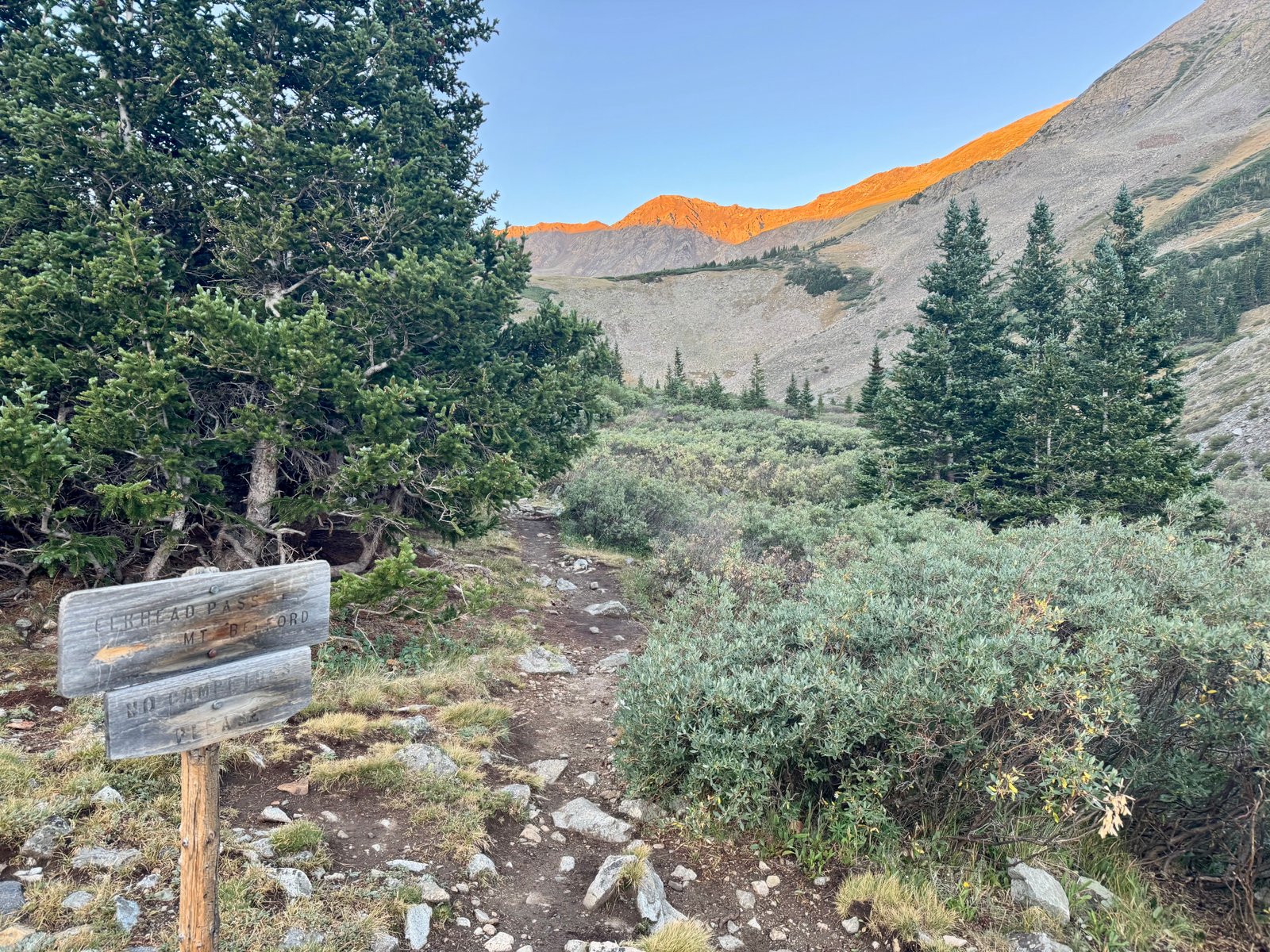
Missouri Mountain is essentially the long ridge on the right as the trail climbs into the Missouri Gulch basin.
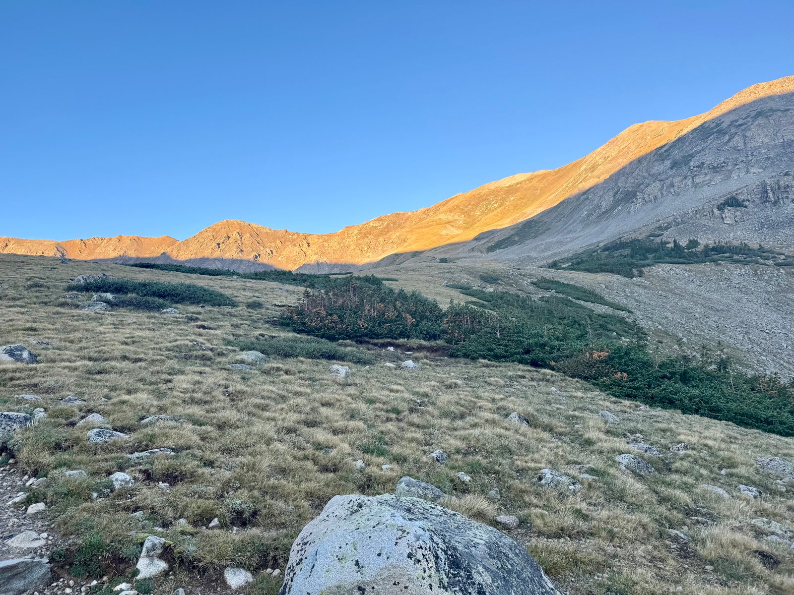
The trail is briefly difficult to follow as it crosses a stream amidst a rock pile, but after clearing some willows, it opens up wonderfully.
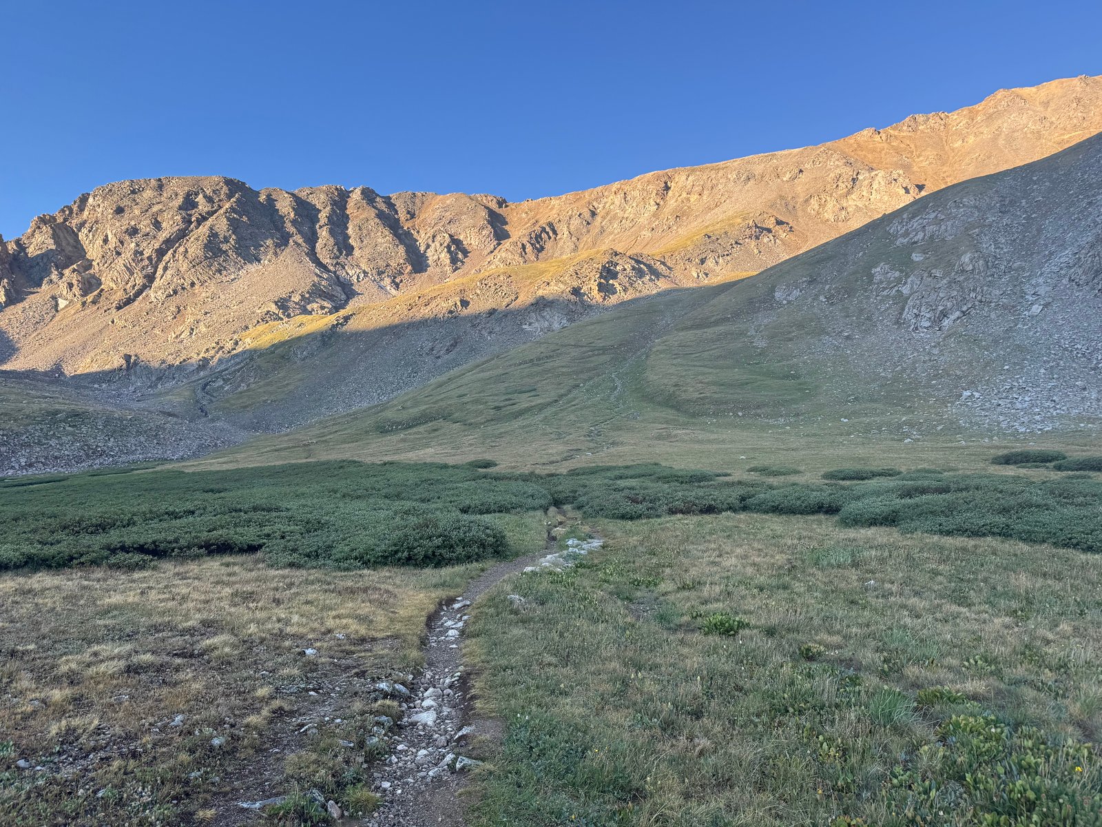
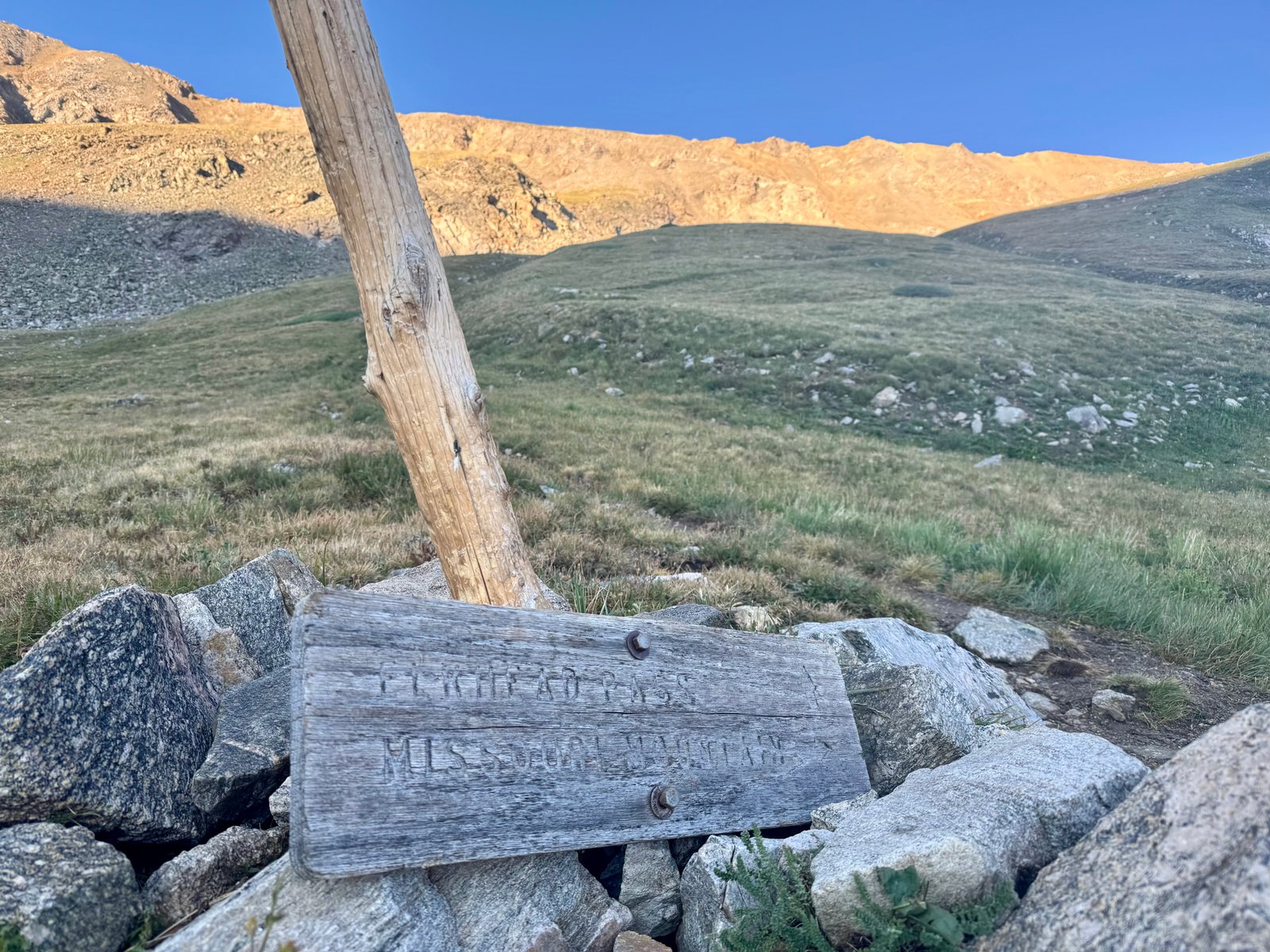
After crossing the basin, the trail splits again at 12,600′, continuing left to Elkhead Pass (which I used as my descent from Oxford last year) or right, where it switchbacks up the slope and then climbs a talus field to the ridge, climbing 1,100′ in about 0.8 mi to the saddle at 13,700′.
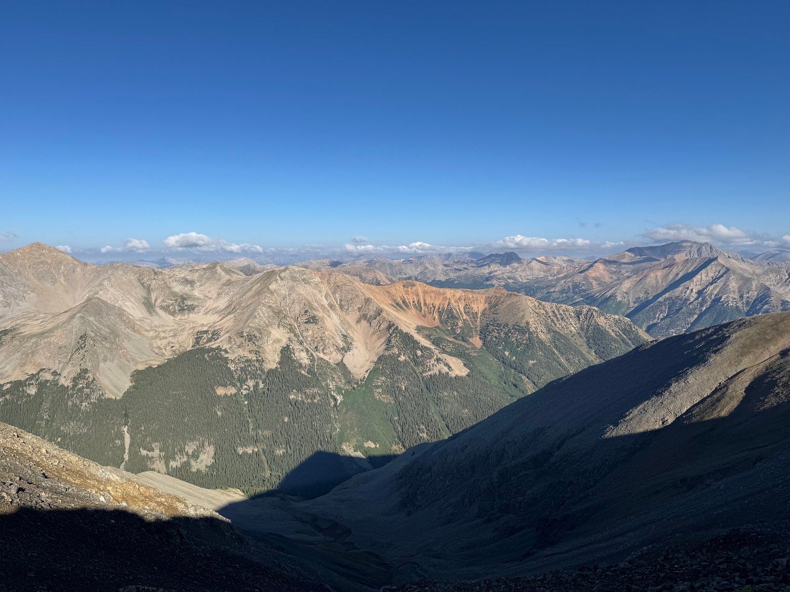
The view from the saddle pays off the climb. Another gorgeous day in the Sawatch.
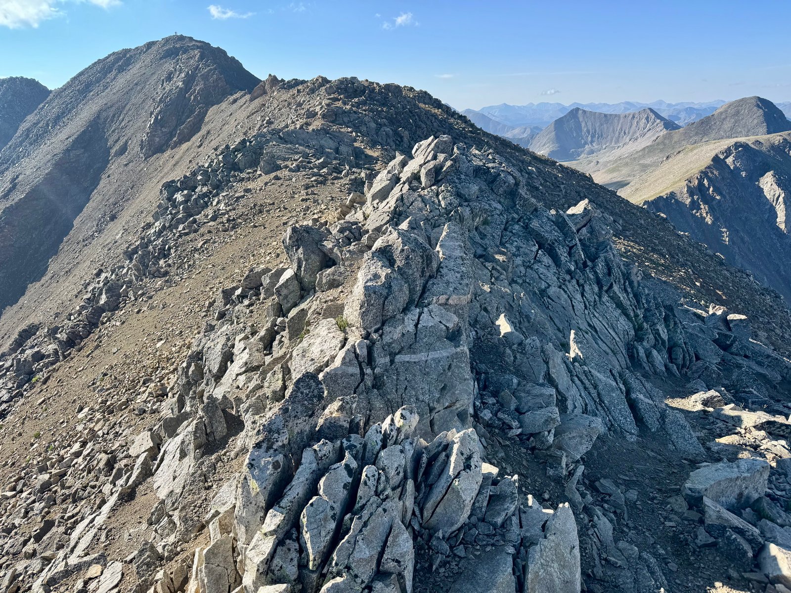
From the saddle, the trail follows along the back of the ridge.
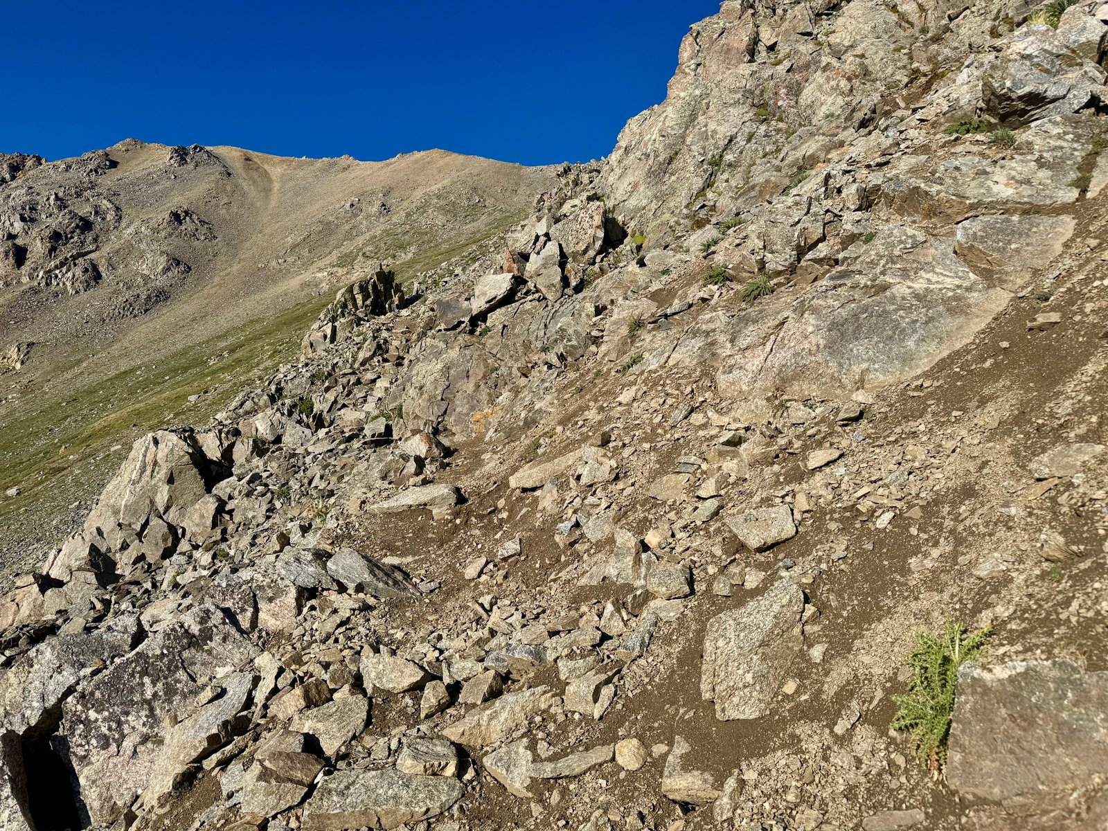
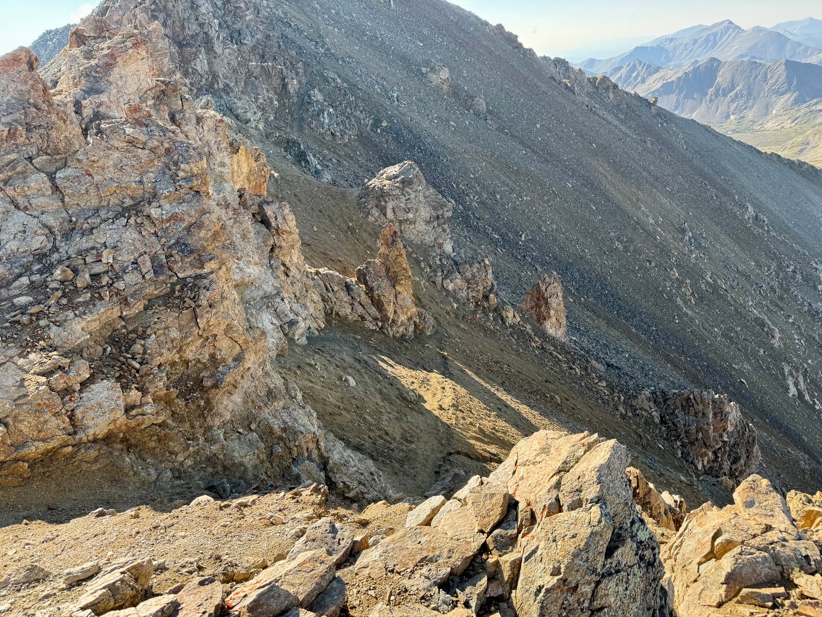
The trail is generally pretty straightforward until just below the summit, where it descends onto a steep dirt slope below some rock features. There’s a social trail below the rocks on the dirt slope that skirt around a prominent rock pillar, which I crossed going up, but the better route stays on the rocks above the trail and then downclimbs a short pitch on the other side of the pillar. I took this route on the way back and it was much simpler than the trail on the slope, which is very steep and slippery.
Shortly after this section, I arrived at the summit at 8:47am (3h47m).
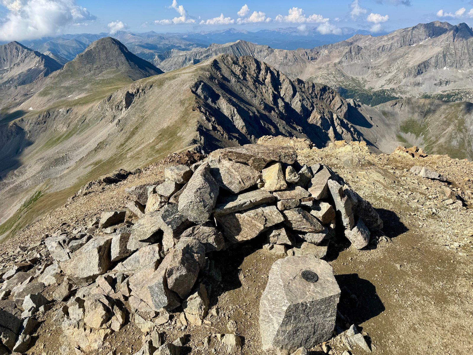
Someone had built an effective chair out of the traditional summit wind shelter cairn. I had the place to myself for a while.
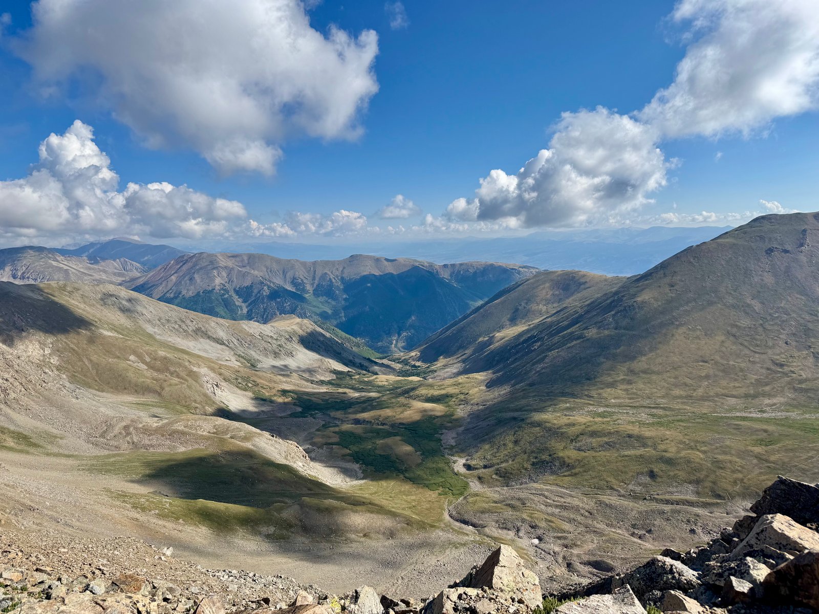
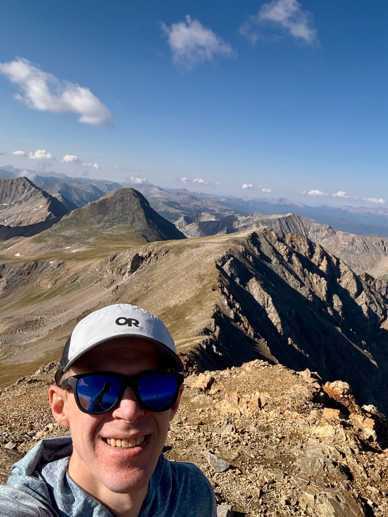
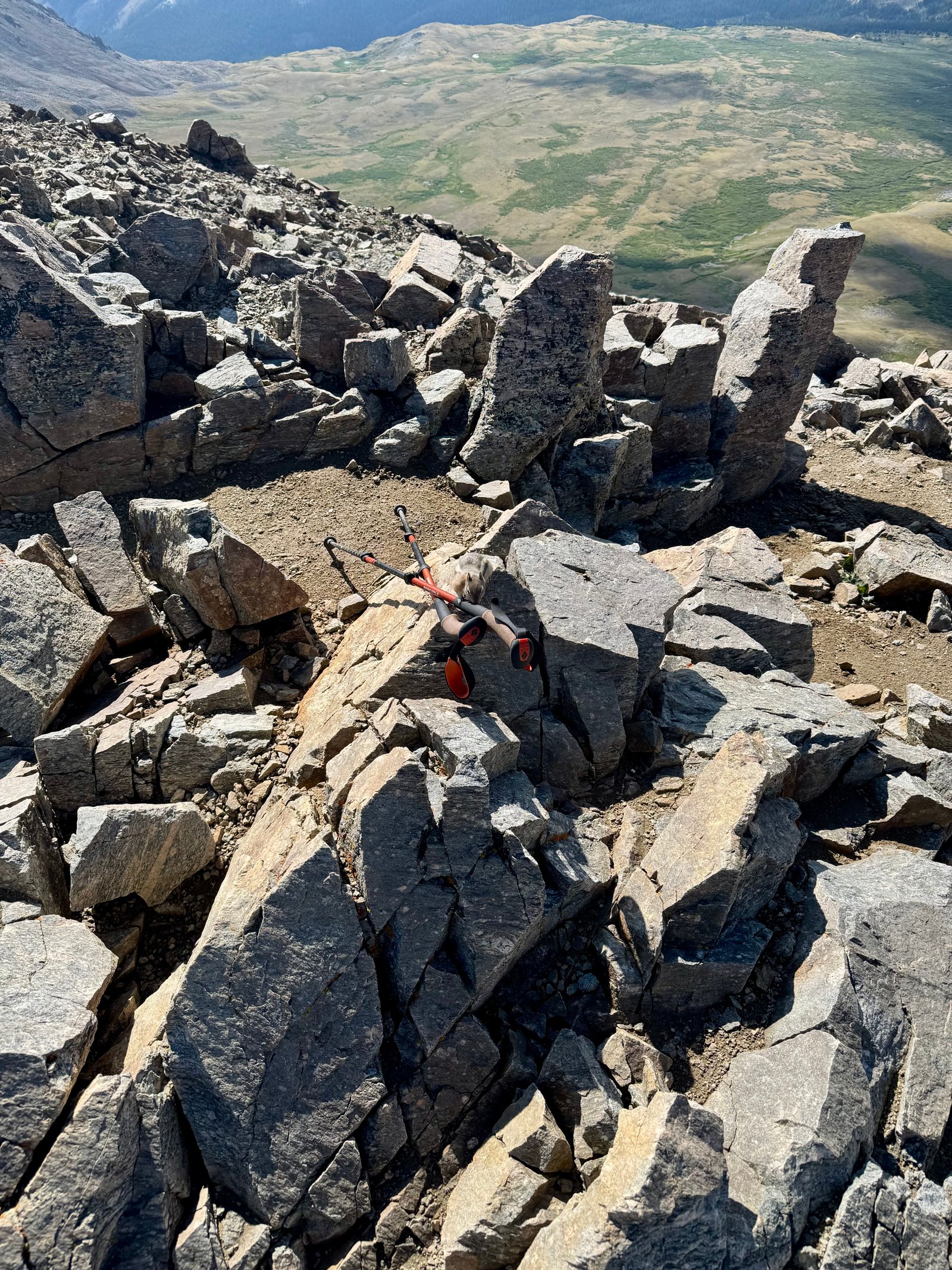
I stayed on the summit almost 40 minutes. It’s in a cool spot and you have great views of the Sawatch range and into the Elk Range to the west. Maybe blurrier than normal but I could still pick out Snowmass, Capitol, and the Maroon BElls.
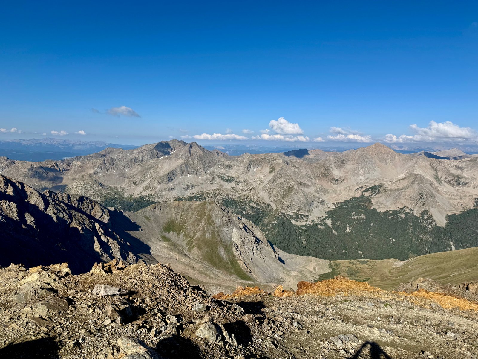
I left at 9:25am. Back on the ridge , a small plane flew not too far overhead.
I have to say, it was a pretty great day out. I was feeling good and made fast time coming down. Eating most of my snacks while lingering on the summit probably helped. Maybe I should have taken my time. Instead I jogged down certain sections of the trail.
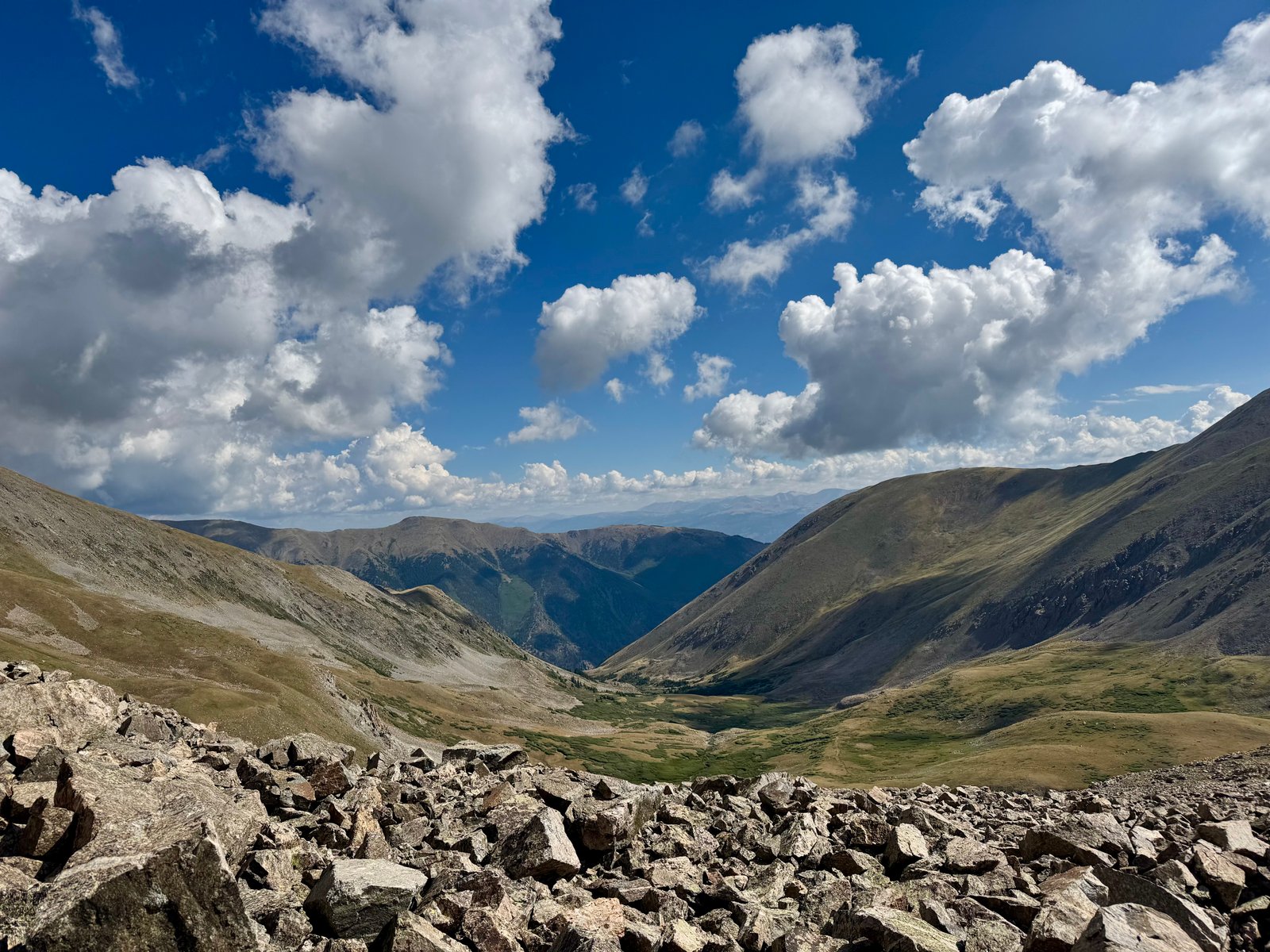
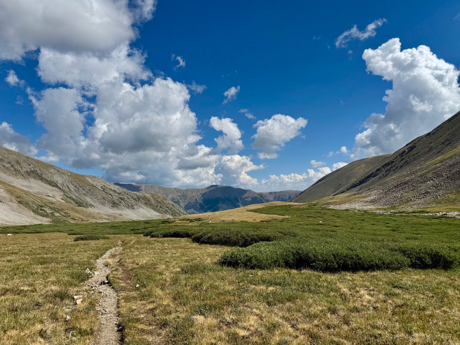
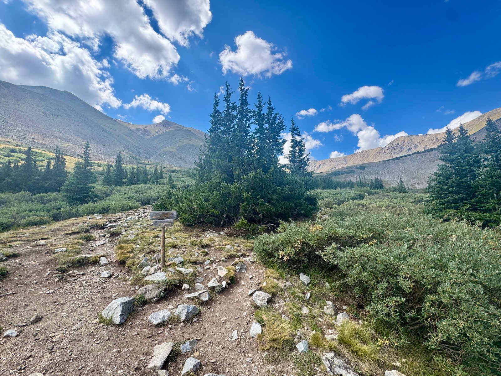
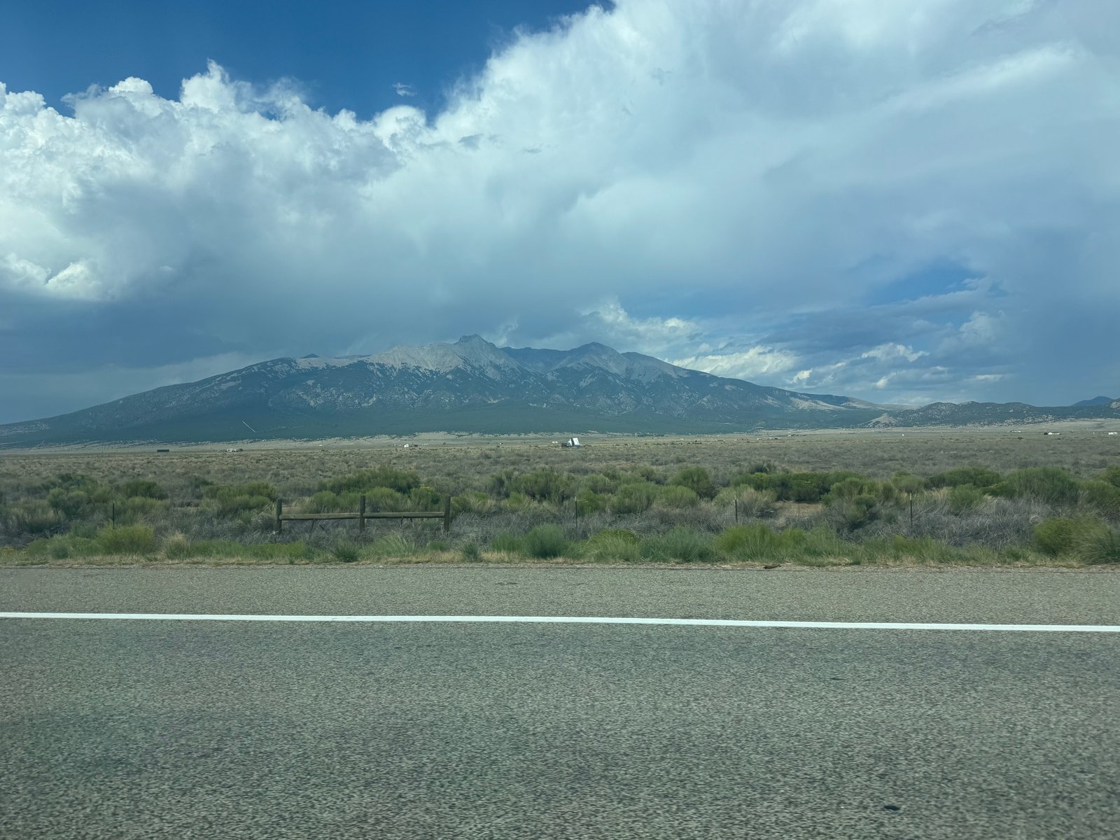
I arrived back in the Missouri Gulch parking lot 2h10m after leaving the summit, at 11:35am. Total time car-to-car was 6h35m (5h55m move time), recording 9.1 mi and 4,860′ gain. And I wasn’t exhausted at the bottom. Today was the first day I felt really good physically, which gave me a lot of confidence. I had sweated the itinerary for the week, trying to balance climb days and rest days with a locked-in reservation to climb Culebra Peak Saturday, and I hadn’t been sure about the wisdom of ending the first week with two peaks on back-to-back days. But after a long lunch at Sorelle Deli in Buena Vista, I felt more than capable of climbing again the next day as I made the long drive south down the western side of the Sangre de Cristo range towards Cielo Vista Ranch, which owns Culebra Peak (14,053′) and 85,000 surrounding acres near the New Mexico border.
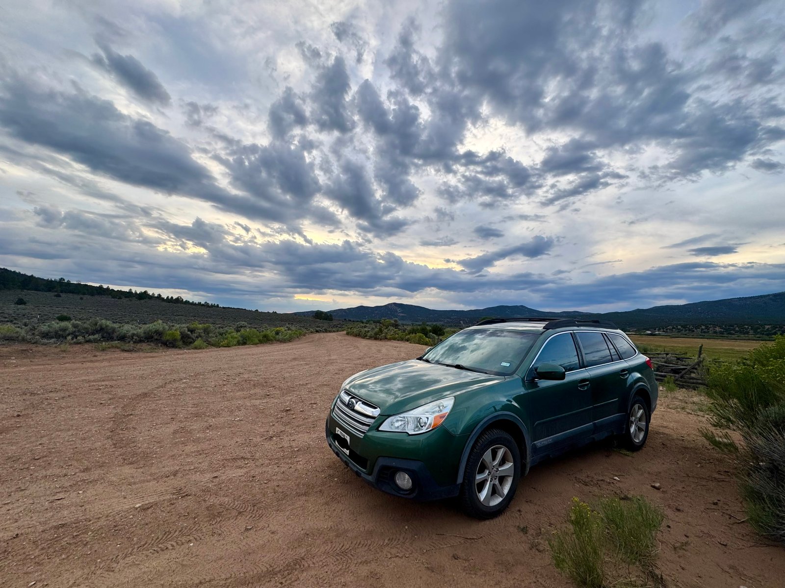
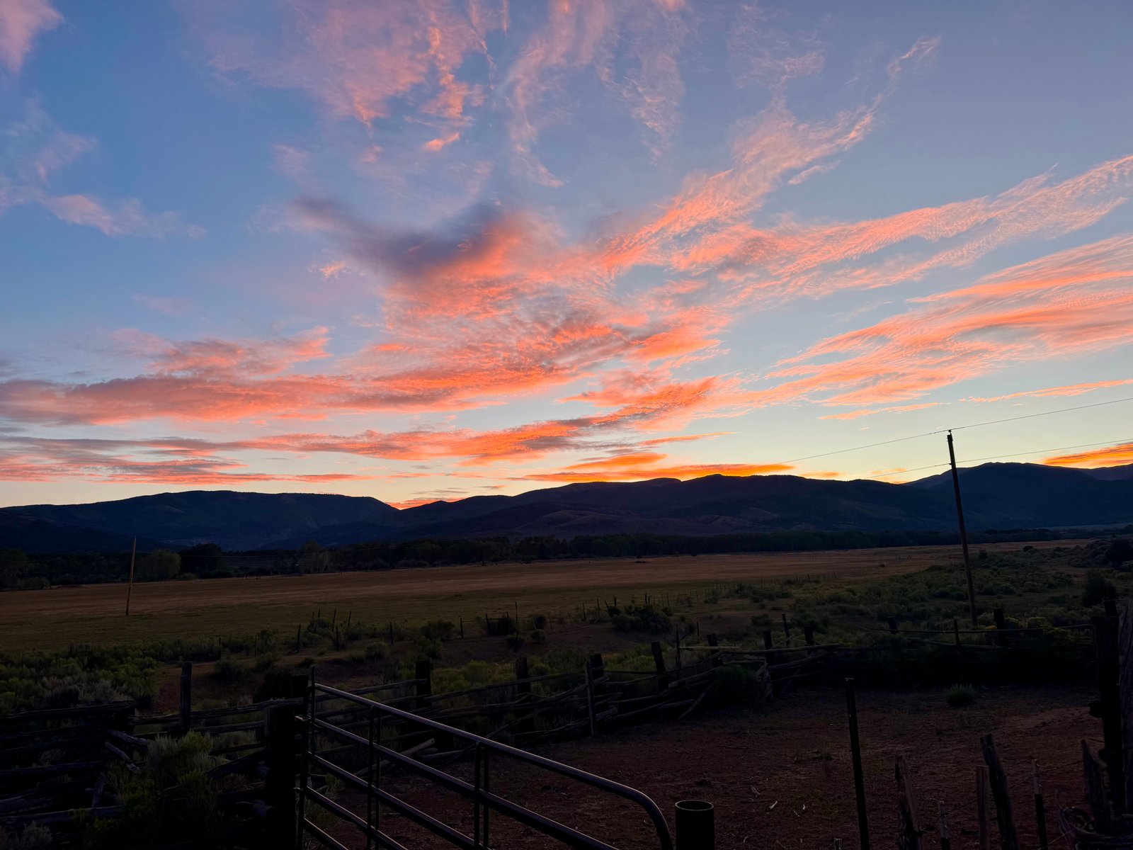
Because Culebra Peak is entirely on private property, you must purchase a hiking reservation ($150) from the Ranch in advance, with up to 20 sold per day, Friday-Sunday, January through July. I purchased my reservation in January this year, for Saturday, July 25. I was pretty sure, at least. I hadn’t gotten any kind of confirmation receipt that I could find, but I did find the charge on my credit card statement so I’d definitely paid. Sometime in June I sent them an email through their web contact form just to double-check the date but they hadn’t replied. But I was sure I had paid and it was definitely for this weekend, so it was probably fine. had a burger at a badly understaffed diner in Ft. Garland with one panicked looking teenager holding the whole front together by himself. Then I drove to the Ranch and parked outside the gate, a little before 8:00pm. I was the first to arrive but cars started trickling in shortly after sunset. A couple people set up tents in a designated area just inside the ranch gates (passable by foot), but most slept in their cars, as did I.
Saturday, July 25
So obviously, the good news was they did find my reservation and the bad news is that it was for Sunday, July 26. The guy at the gate was apologetic and mentioned he isn’t even sure where that email form from the website goes but he doesn’t think anyone checks it, but I would definitely have to leave and come back the next day. I was pretty frustrated with myself for not calling to confirm. I didn’t want to burn a rest day today; I was feeling strong and wanted to climb. Had I known I wasn’t climbing today, I would have split up the driving and gotten a hotel instead of spending the afternoon in the car and then sleeping in my car at the ranch gate, which I would now have to do again tonight. I was pretty grumpy driving back towards Alamosa, but I decided I might as well pull off at Great Sand Dunes National Park, which happens to be right on the way back to Alamosa, in between the Crestone group and Blanca group where windswept sand was deposited after being turned back by the Sangres.
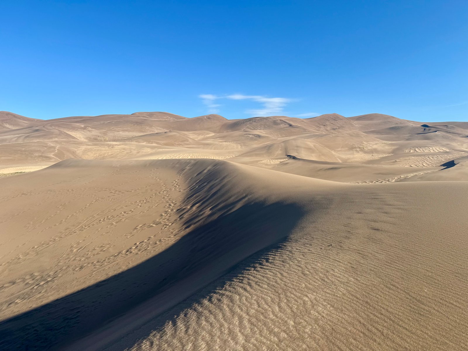
It was early enough in the day (around 7:30am) that it wasn’t hot or crowded yet. I walked around until that started to change, around 8:30am. There are no real trails up the dunes so people wander freely.
Eventually, I drove back into Alamosa and killed time getting breakfast at a coffeeshop. I also visited the Narrow Gauge Book Co-Op again and found a book I’d been looking for (The Way Out by Devin O’Neill; it is partially set in Salida and I’d looked in a bookstore there for it, where the last copy had been sold two days prior).
I didn’t think there were any convenient hotels closer to Cielo Vista Ranch (which is kind of in the middle of nowhere) than Alamosa, which is an hour-and-a-half drive. With a 6:00am roll call at the ranch to make, it hardly felt worth it to get a hotel that far away. But surprisingly, there were two decent motels in Ft. Garland (only 45 minutes from the ranch) and I grabbed a room at the Lodge Motel for a little over $100 that would let me check in at noon, so I could stop killing time. I drove to the motel, showered, and got over being mad almost immediately. I spent the rest of the day in bed reading, napping, and ocasionally going outside to look at Blanca Peak looming over town.
Sunday, July 26: Culebra Peak (#36)
This morning went better. I was up at 5am, at the gate by 5:50am, and checked in shortly after 6am. After showing your ID to the guy at the gate, you’re instructed to drive 2 miles up the road to the Ranch HQ building and park there, where you get some brief instructions (mostly on signing out before you leave and collecting a gate code to unlock and lock the gate behind you on exit). Then, it’s another four miles up the steep dirt road to the upper trailhead. The road is bumpy but without any real rock obstacles; the steepness is the challenge (worse going down). I was able to make it all the way to the upper parking area at 11,650′ without much trouble, although the parking area is very steep and rocky and, partially because I was trying to leave plenty of space for the line of cars behind me, I parked in an awkward position that was difficult to back out of later. Still, I was hiking by 6:50am.
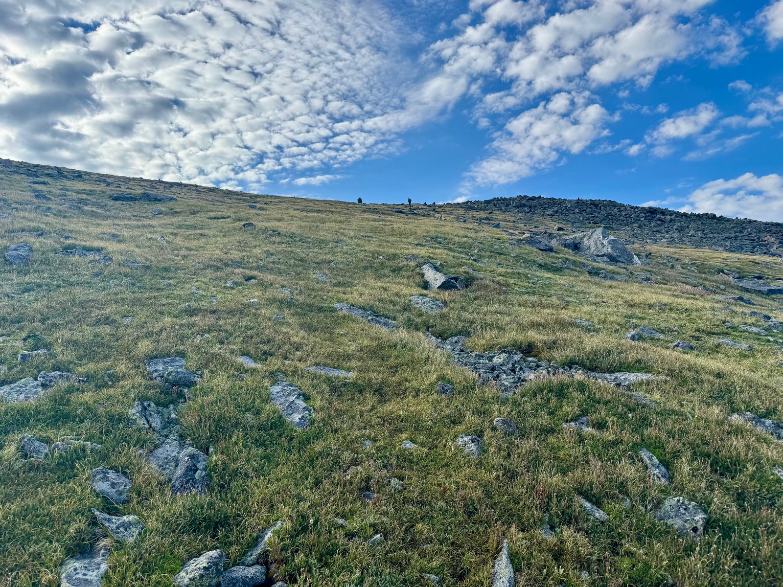
Culebra is a unique day compared to the rest of the 14ers. Culebra Peak doesn’t have an established “trail,” although the general route is straightforward. It starts with a use trail that leaves the parking area to cross a stream and then ends at the base of some steep foothills that climb towards the ridge. The whole day’s hikers (up to 20 per day) arrive more or less at the same time as each other, fan out, and pick their own route up. The initial climb is steep without switchbacking.
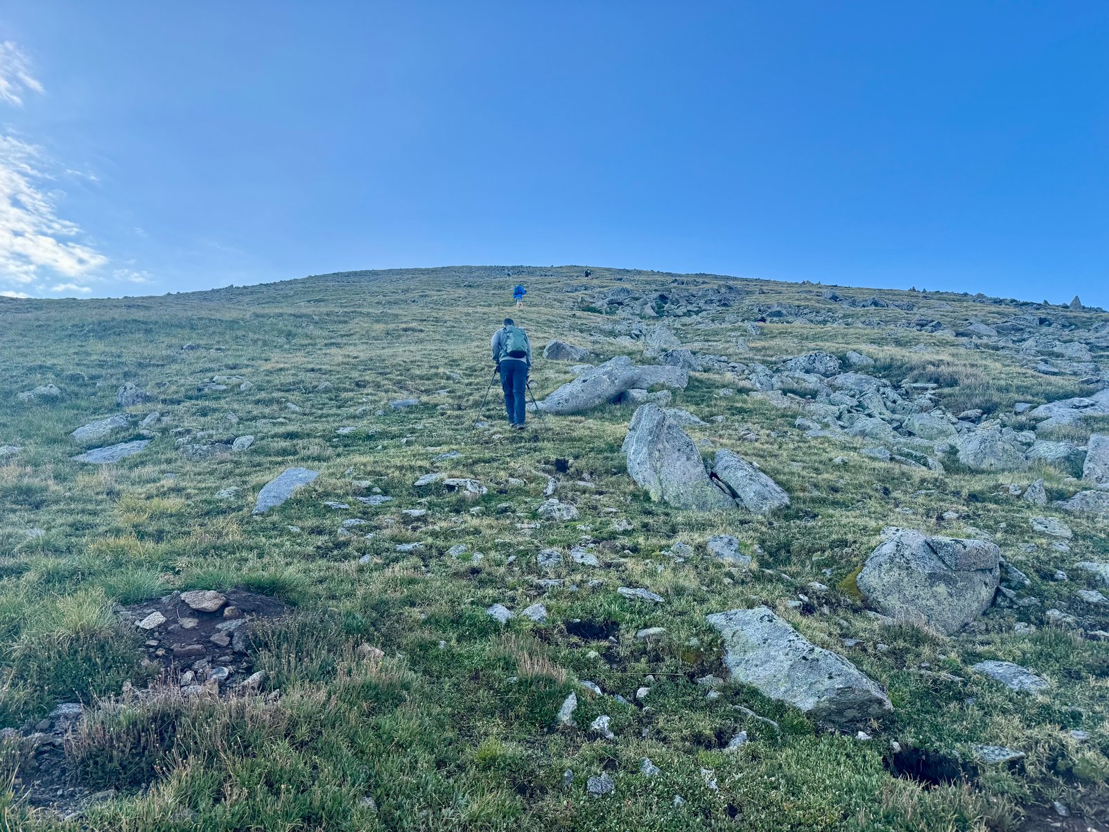
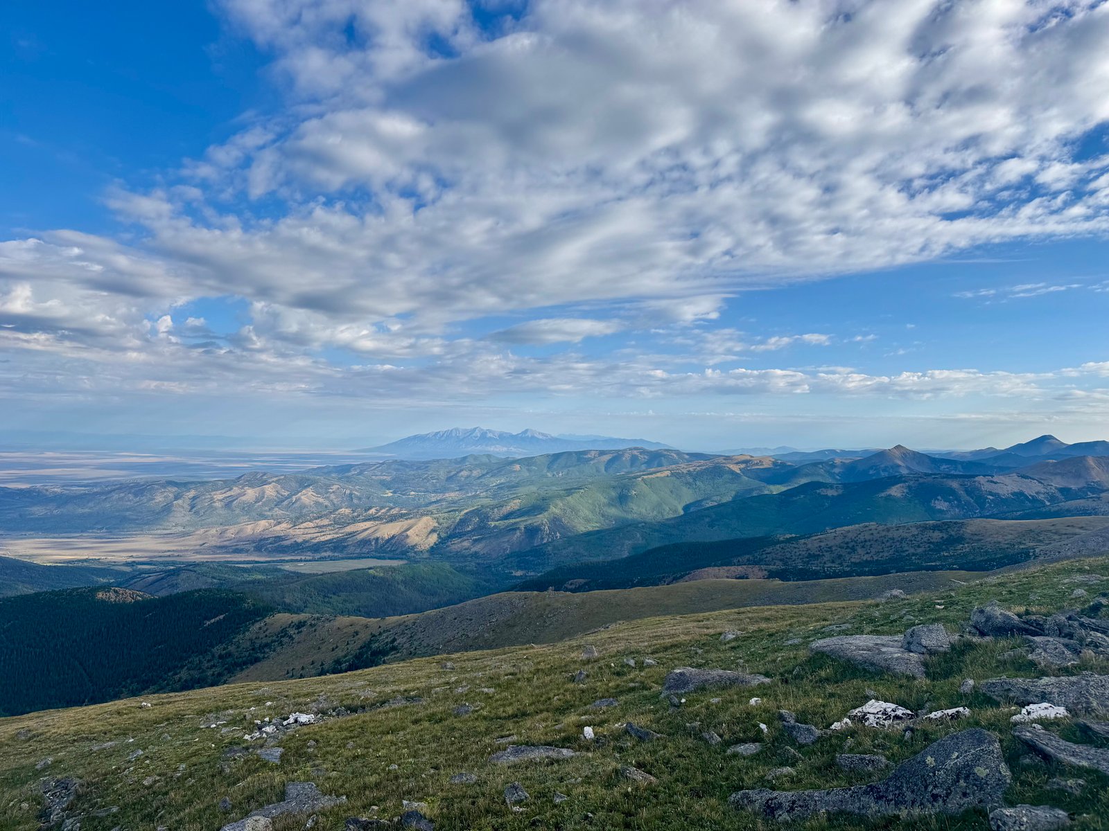
The eventual goal is to gain the ridge crest near a large cairn above 13,300′. After about an hour, the cairn came into view and I reached it just after 8:00am.
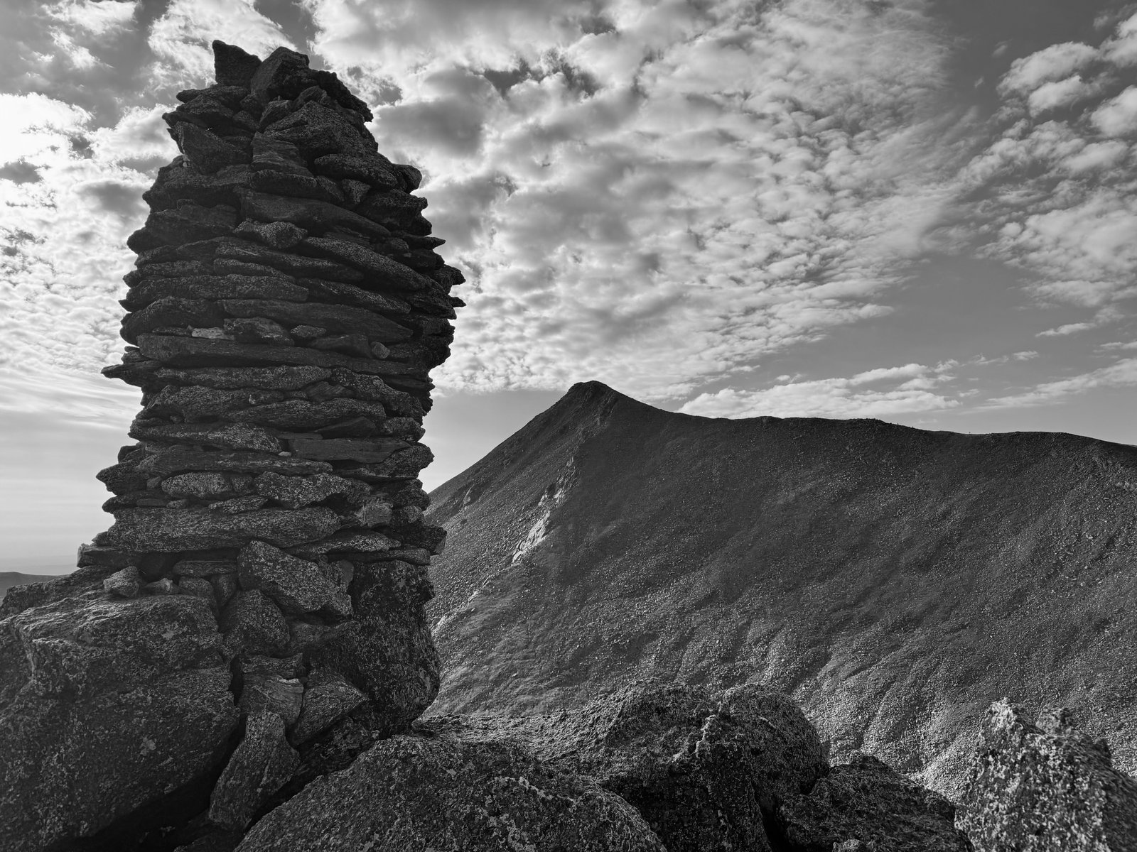
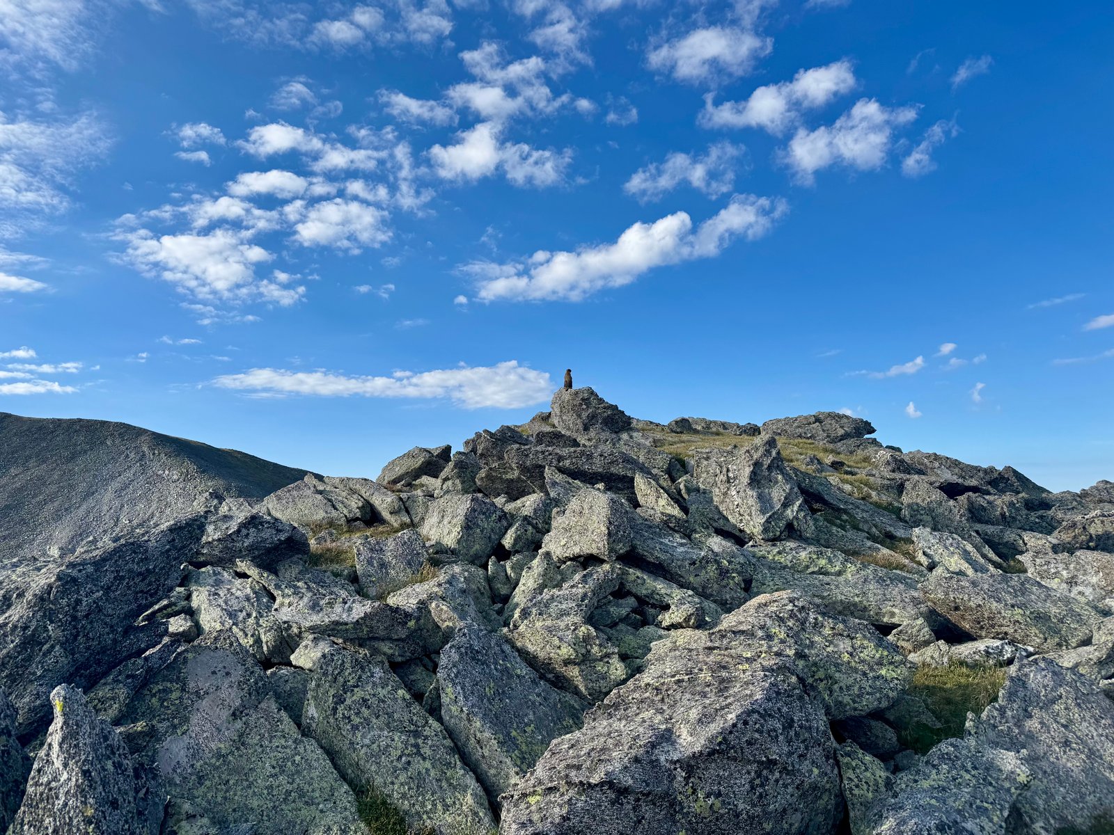
From the cairn, the route turns right and descends to a saddle before climbing back along the ridge to the summit.
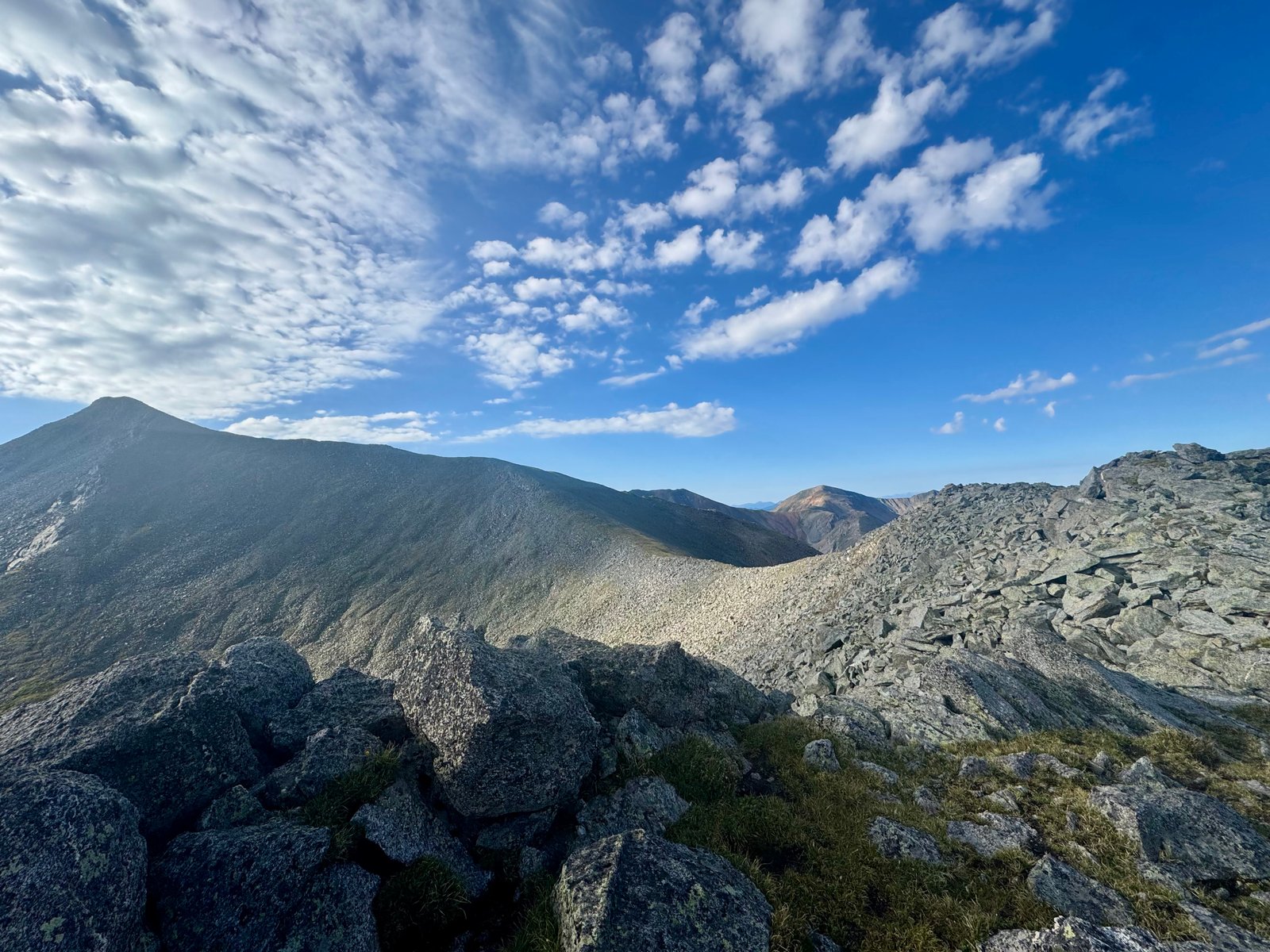
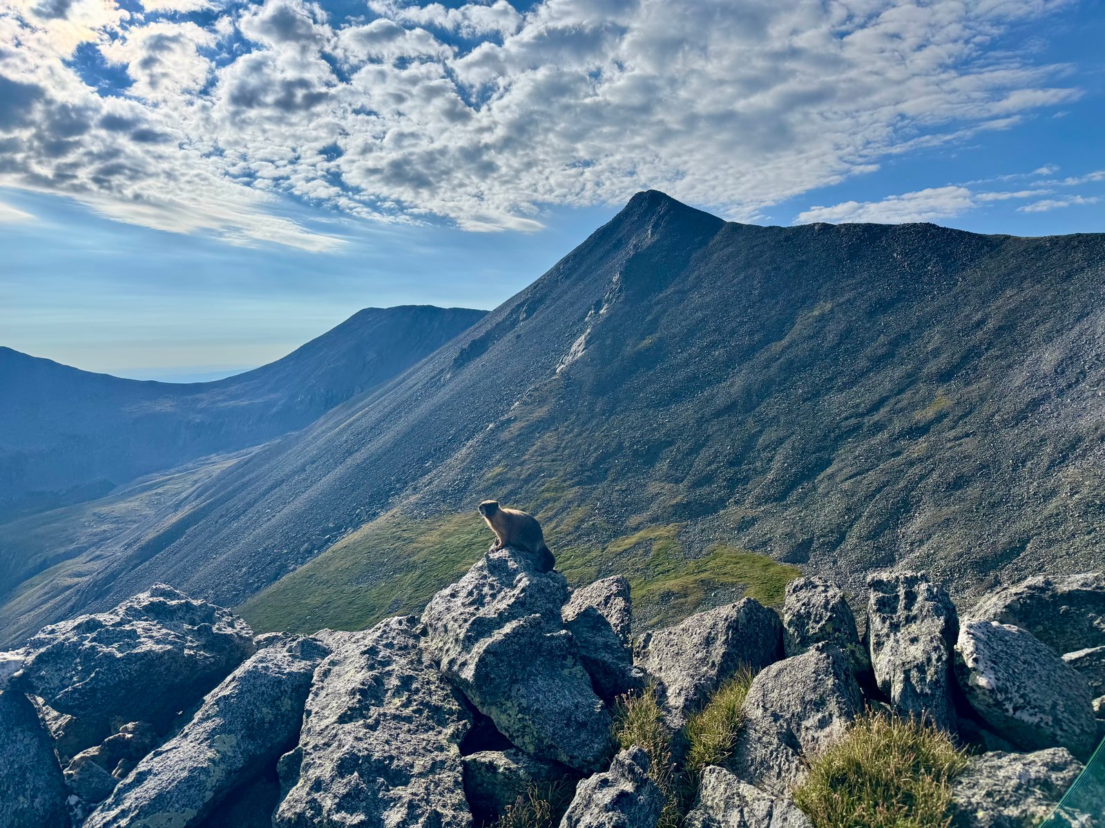
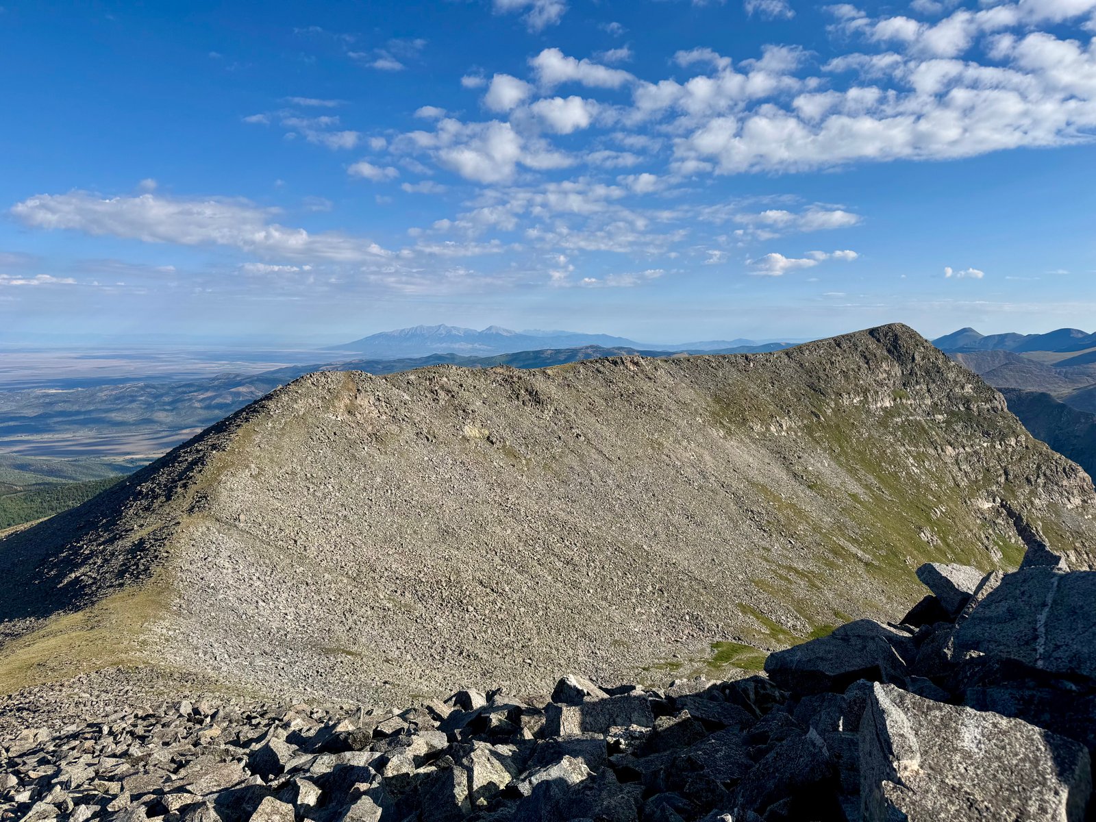
The terrain turns into rock-hopping while climbing back up from the saddle. Staying near the ridge crest seemed simplest. The views start to open up around beyond Culebra and it becomes clear how many beautiful and unique mountains, basins, and alpine space the Ranch really owns, almost none of which besides Culebra and neighboring Red Mountain (13,911′, #70 in CO) are available to explore.
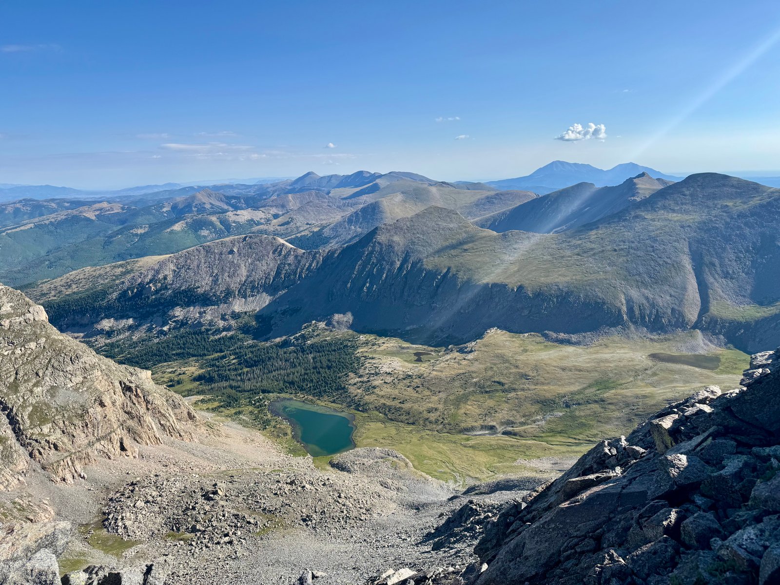
After an extended sequence of rock-hopping, the ridge tops out on a false summit and drops slightly onto a flat area below the true summit. I love these high alpine grassy shoulders. I could cross them all day.
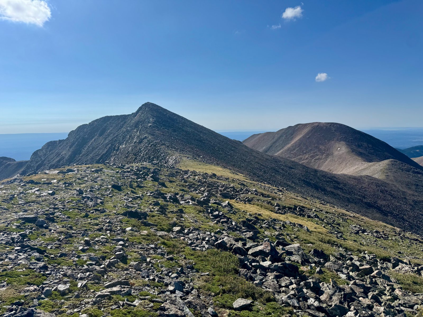
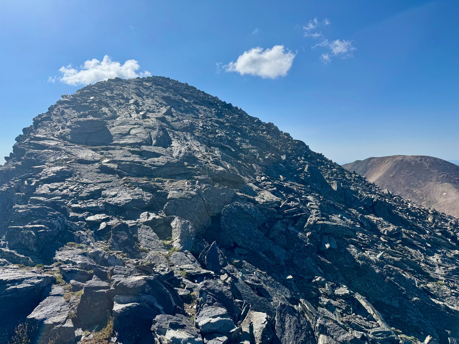
After one last quick climb up more solid rock, I reached the summit at 9:10am (2h20m). I was the 4th up out of our group and had it to myself for about 15 minutes, which is always nice.
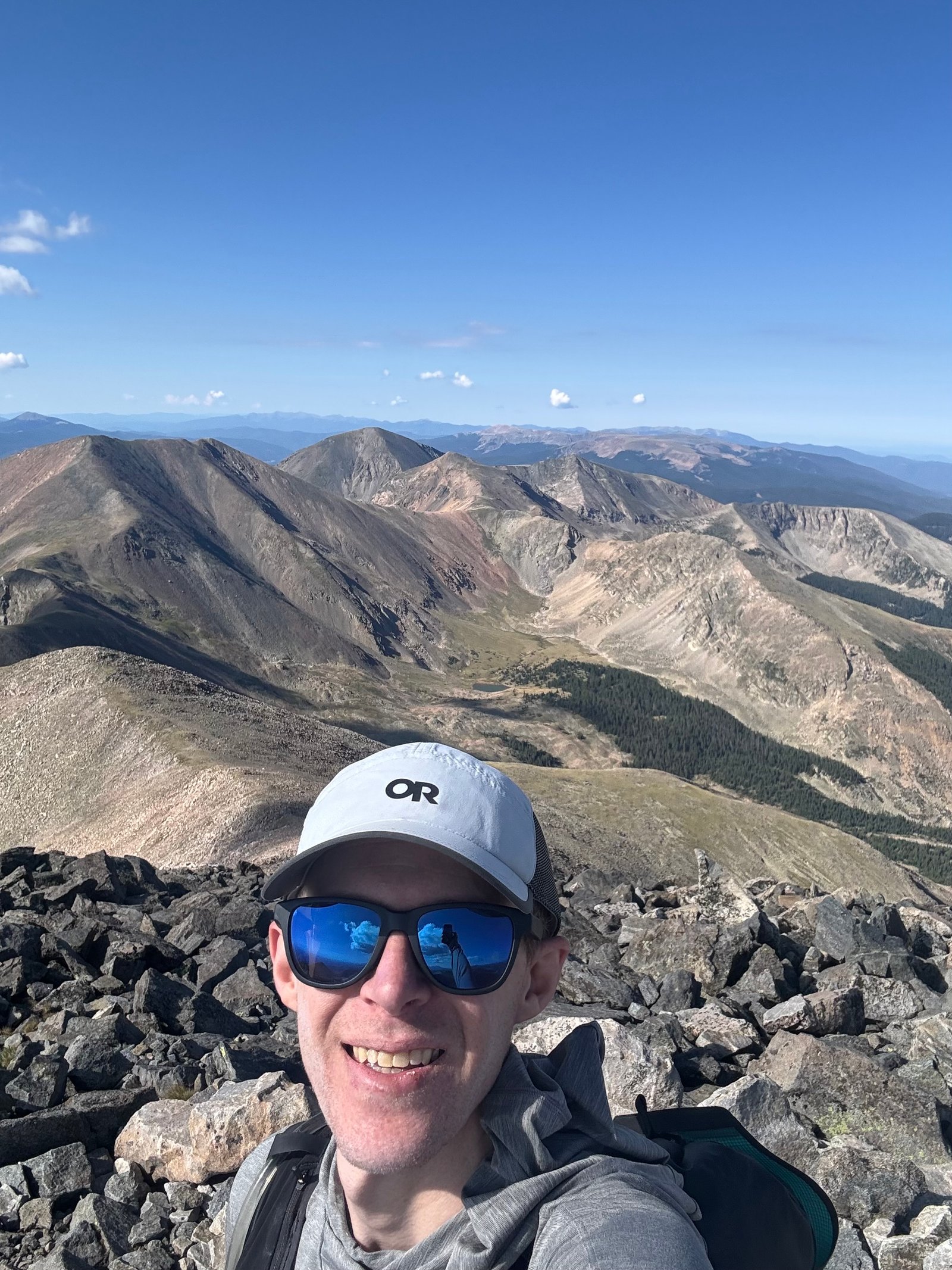
I left at 9:30am after a brief chat with the next group of arrivals (a father and his 8-year-old son on his second 14er).
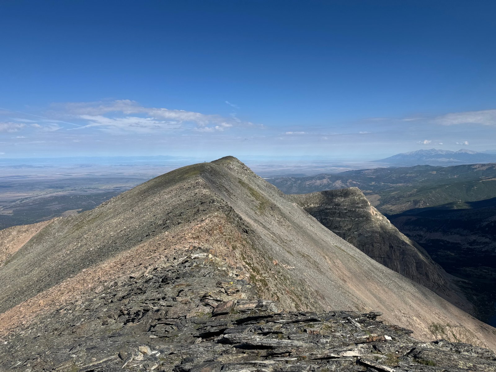
As usual, clouds were starting to build on the descent but nothing came of it for a while.
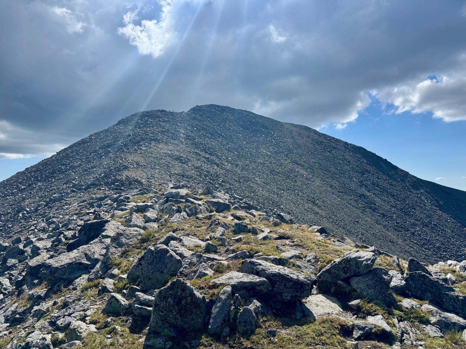
The descent went quickly. I was back at the ridge cairn by 10:20am, 40 minutes after leaving the summit.

On the descent, I had a great view of Ute Mountain to the southwest in New Mexico, an obvious formerly-volcanic lump that rises 2,500′ above the surrounding plains. I’d driven past it going home from a previous trip and enjoyed seeing it from above this time.
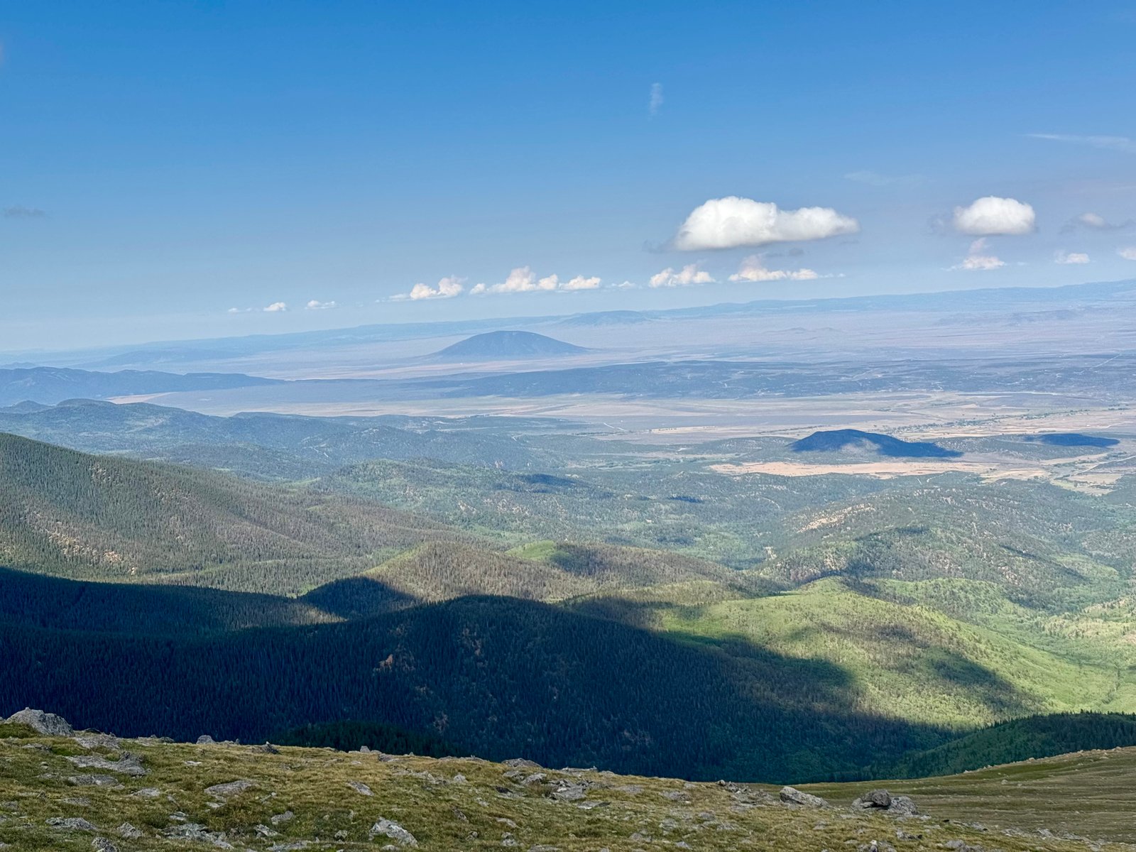
Back on the hillside, I took a slightly more direct route down, aiming more or less straight for the parking area.
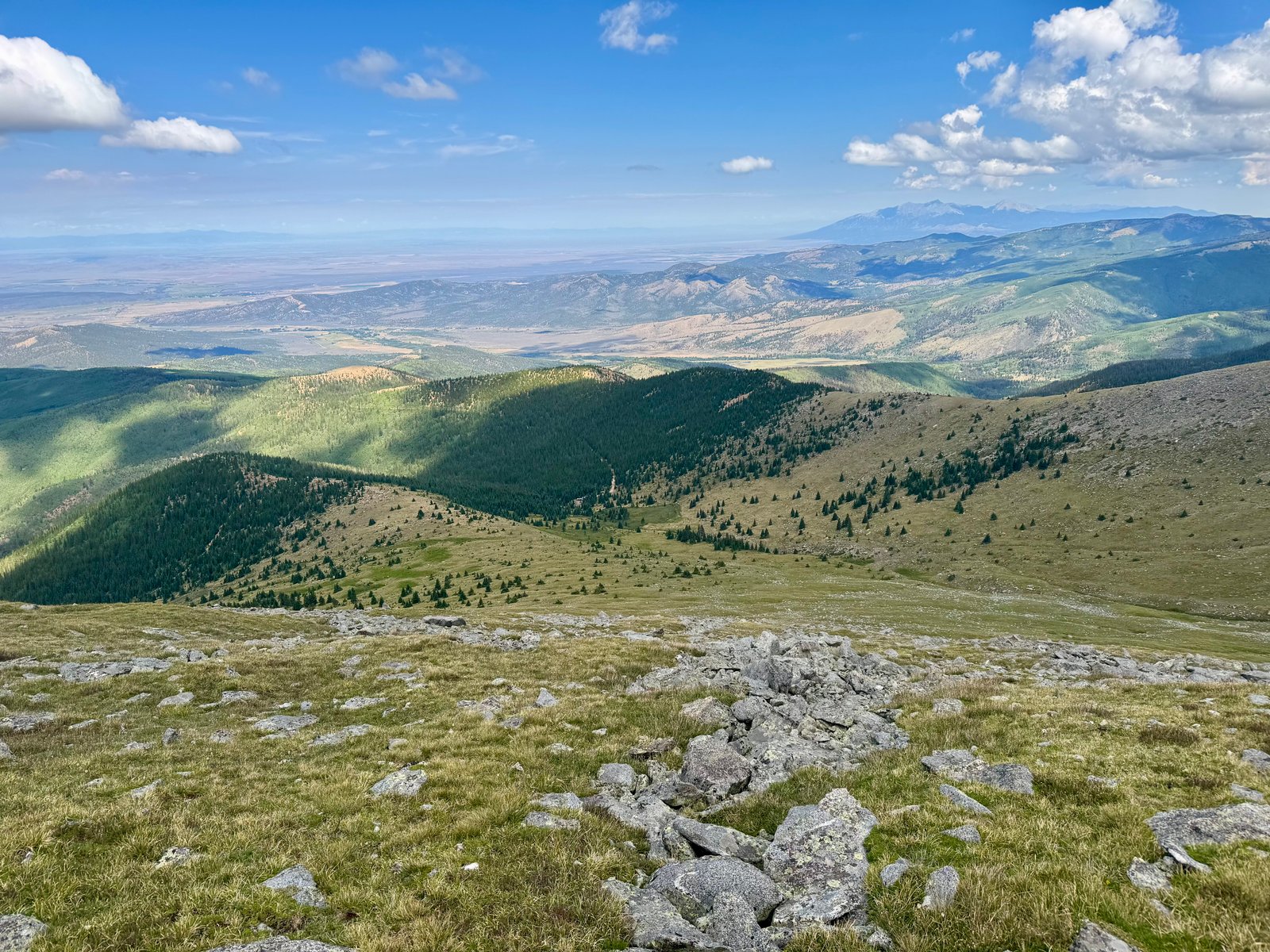
I was back in the parking area by 11:10am, for a time of 4h20m car-to-car. Garmin recorded 4.7 mi and 2,835′. Should have parked 150′ lower. Speaking of which, backing out was indeed tricky. I was on a steep dirt incline with rocks behind me and I had to work to get going. But I was also at the edge of the parking area so I had to swing around as I backed up to get lined up with the ramp out. It was a two-part undertaking.
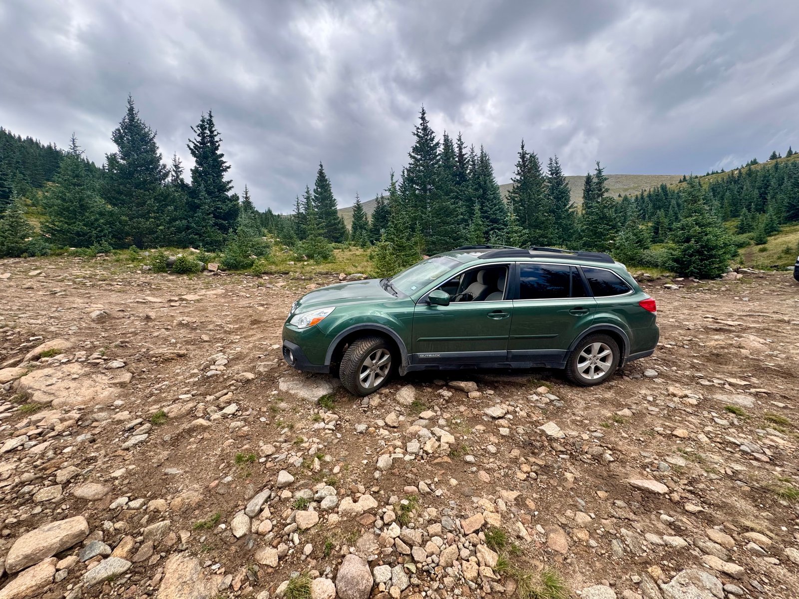
The drive down from the trailhead was no joke either. The road is very steep and it took some work to not wear out the brakes. Putting the Outback into its manual equivalent and staying on 1 helped. At the bottom of the road, I parked at HQ, went inside to sign out, and got the gate lockbox key (and almost forgot it). I was out of there and back into Alamosa in time to have a plausibly late lunch at the Mexican place just off the main highway into town. I ate at the bar, chugged water and coffee, and decided to head for El Diente and Mt. Wilson. This meant a 4 hour drive to Durango, and then another 2 hours to the Kilpacker Basin trailhead.
Storms were clearly brewing and I was pretty tired driving through the Wolf Creek Pass area between Pagosa Springs and Durango. When the hard rain turned into hail, I was glad to have a good excuse to pull over and nap for 30 minutes. A few minutes earlier, I had watched a lightning strike connect with something in the hills above the highway.
I pulled into Durango around 6pm in a light drizzle. I had a quick burger in town and then got back on the road to the Kilpacker Basin trailhead, driving up the steep dirt switchbacks as the sunlight faded. If I wanted to climb tomorrow, I needed to either pack into Kilpacker Basin about 3 miles to set up camp in the dark, or day-trip the traverse from the trailhead, eating the extra 6 miles roundtrip. I decided I didn’t need to climb tomorrow and could just sleep in the car at the trailhead tonight, pack in tomorrow, and climb Tuesday. It’s possible the forecast was better Tuesday too but I don’t remember now.
Monday, July 27
In the morning, I made a detour back down from the trailhead 6 miles to the highway and 15 minutes up the road to the next rest stop before returning to the Kilpacker Basin trailhead. This gave me a chance to say hello to Lizard Head again.
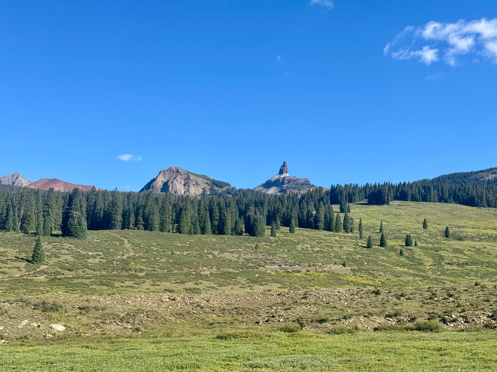
Back at the trailhead, I could get a good look at El Diente.
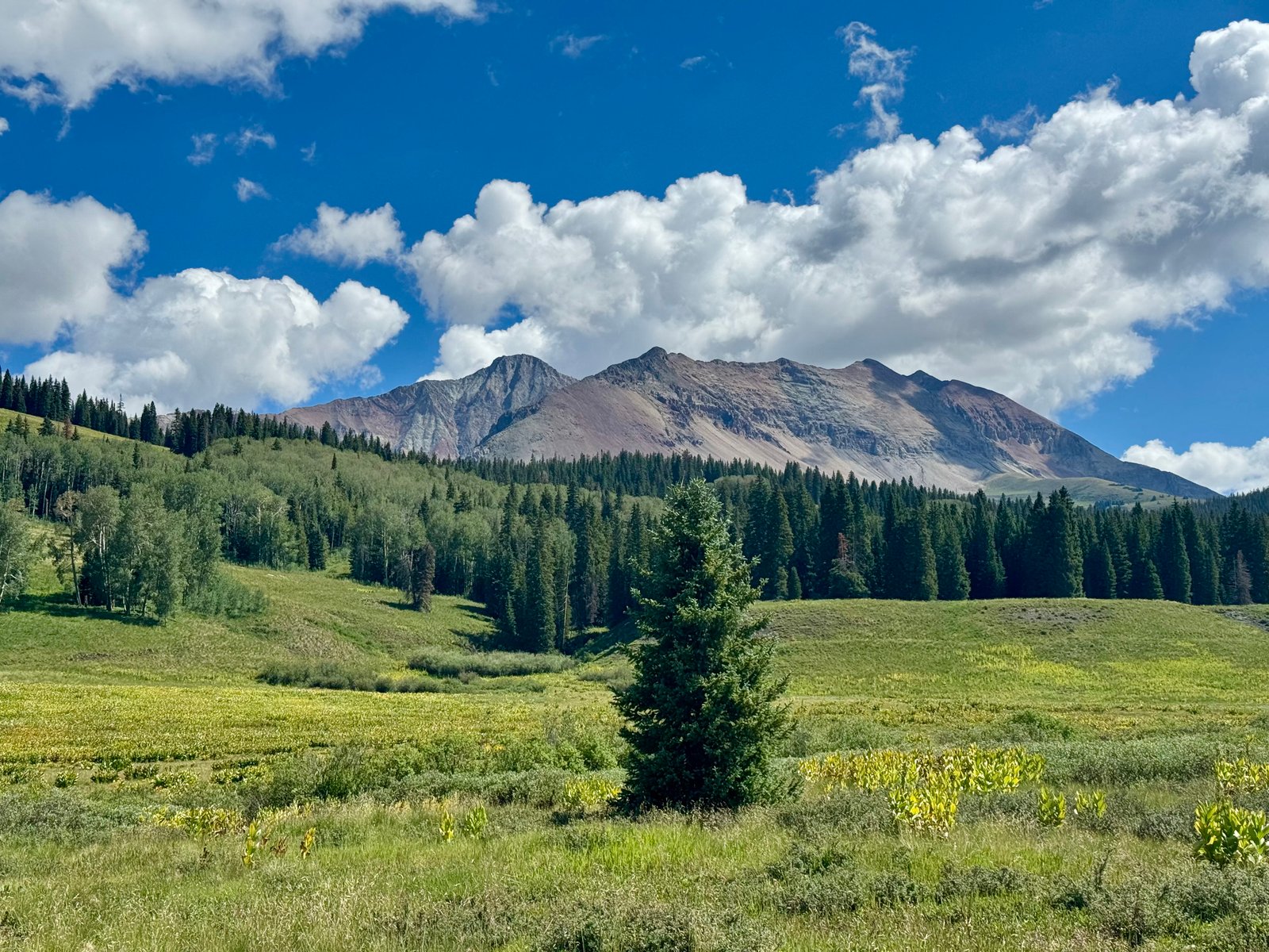
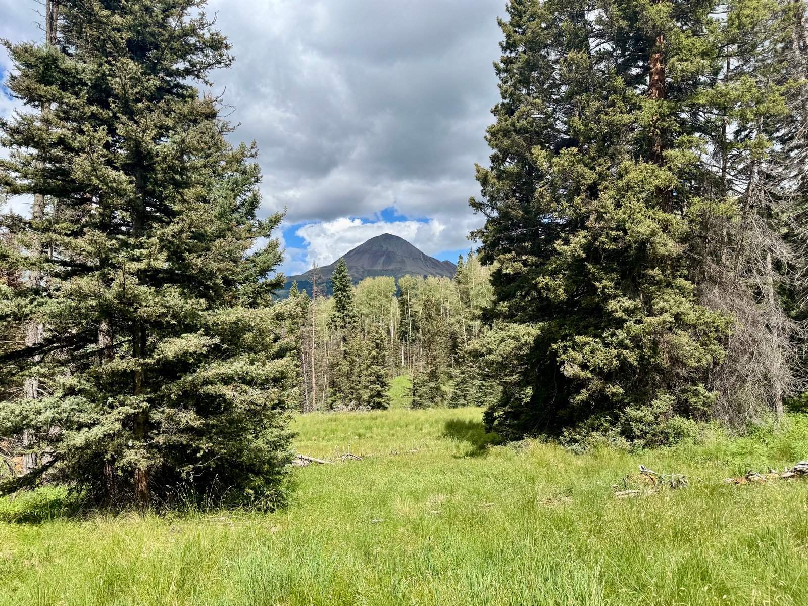
I made the final adjustments to the overnight pack and left the parking lot at 10:45am. The Kilpacker Basin trailhead is itself at 10,100′ and the approach into Kilpacker Basin is relatively gentle, gaining only 800′ in 3 miles as it winds through pine and aspen trees.
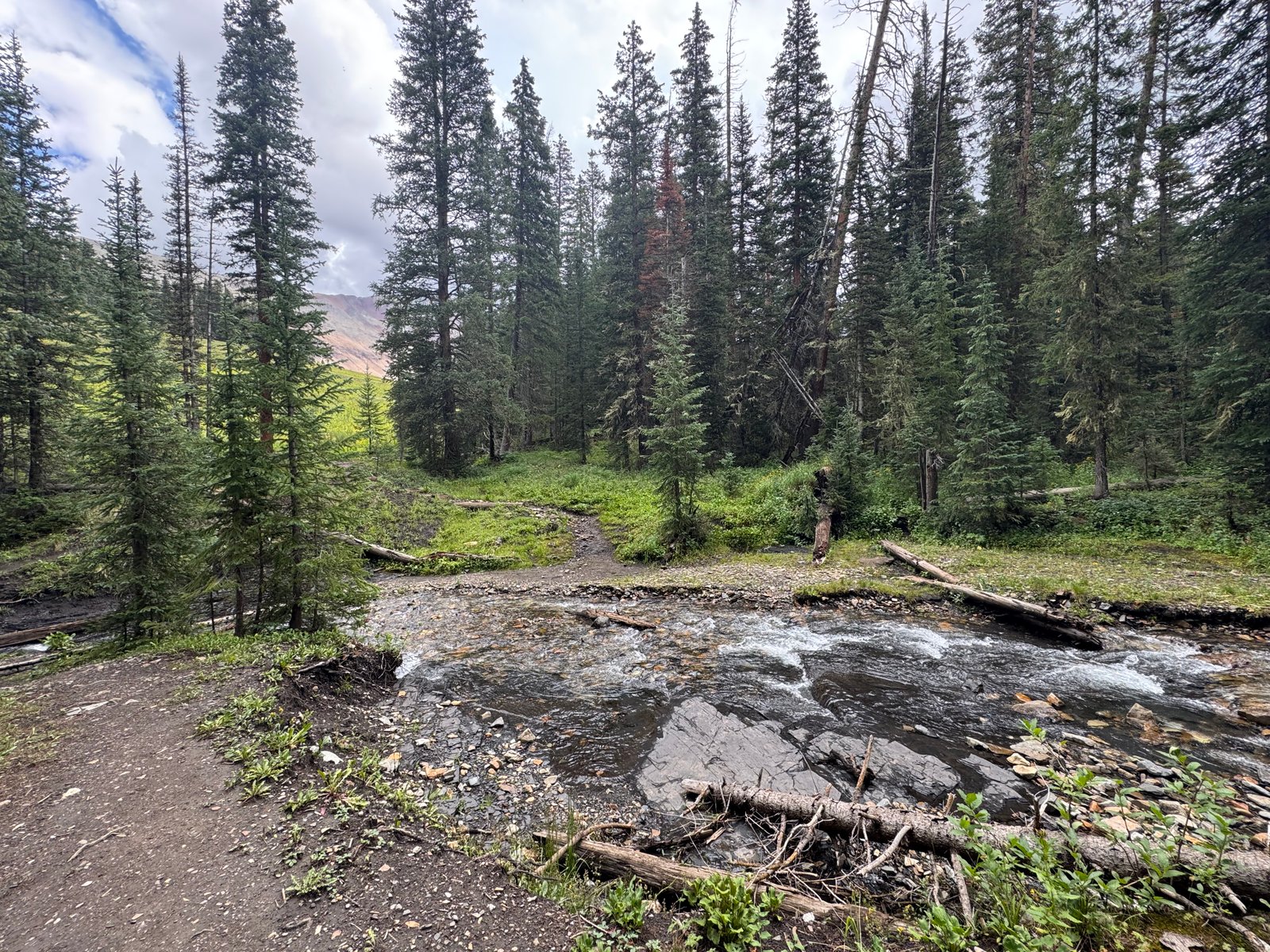
An hour later, I arrived at the creek crossing just below Kilpacker Basin.
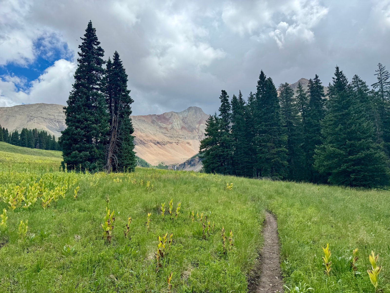
Just past the creek, the trail climbs into a meadow. El Diente looms over the far end and a waterfall drops out of Kilpacker Basin, carrying Kilpacker Creek past the meadow. This is a pretty special area worth visiting for its own sake.
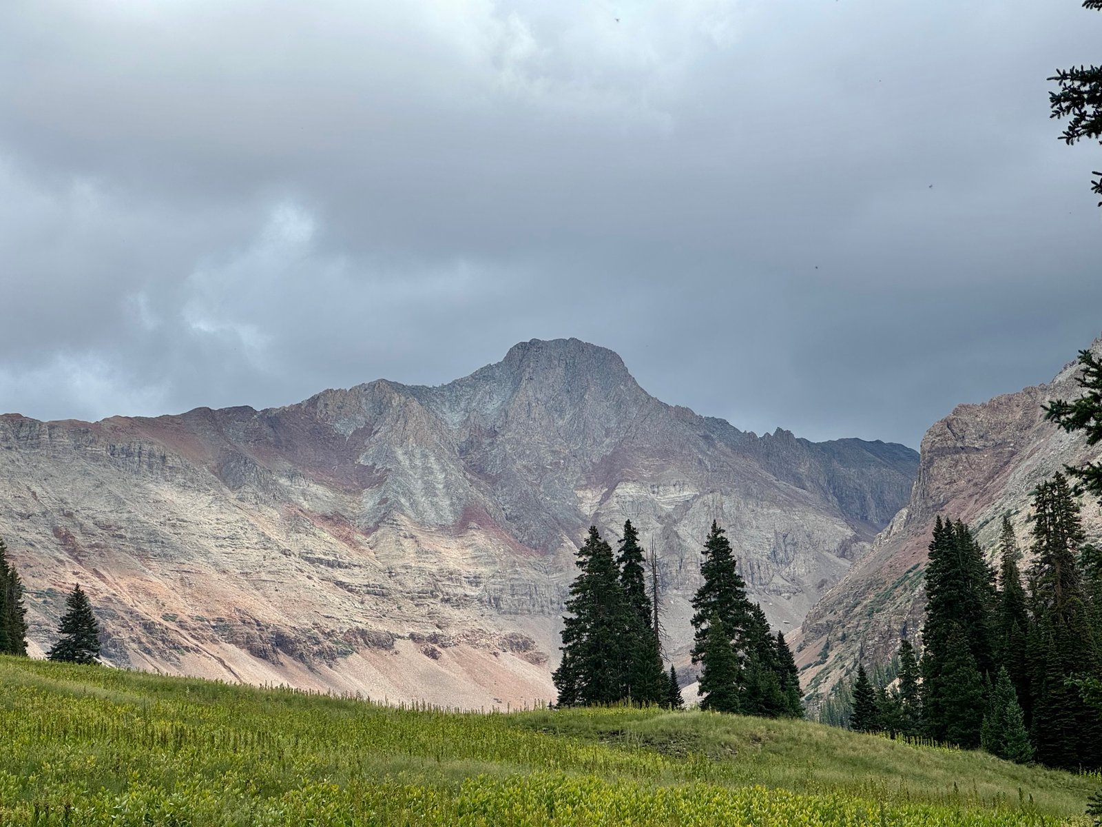
I set up camp on the edge of the meadow under what felt like the threat of rain, which came and went throughout the afternoon while the sky rumbled.
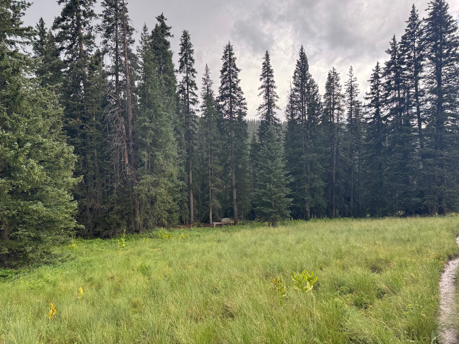
I finished my last downloaded e-book on my phone and looked at the traverse route description until dark. I had a reasonable forecast tomorrow but the chance of storms began to rise a little before noon. I decided I needed at least two hours for the mile-long traverse from El Diente to Wilson, which meant starting it by 9am to be leaving Wilson’s summit well before noon. It was about 3 miles and 3,400′ to El Diente’s summit, which I estimated should take 4 hours. So I needed to leave before 5am. I packed the daypack and set the alarm on my watch for 4:30am.
Tuesday, July 28: El Diente Peak (#37) and traverse to Mt. Wilson (#38)
I was awake before the alarm went off, which eventually turned into getting out of my sleeping bag and sleep clothes and into my hiking clothes. I’d only heard one pair of hikers pass me. By 4:45am I was on the trail. There was one set of headlamps 30 minutes or so in front of me and I could eventually see one below me about the same distance.
Three years ago, I’d camped in the basin and set out for El Diente, intended to try the traverse, but I turned around amid very high winds after losing the path (no longer a trail) through the talus slope in the upper basin in the pre-dawn dark. That day, I had left even earlier, closer to 4am; this time, I hoped to have the first bit of daylight when I got to the upper basin. This more or less worked out and an hour later, after just a few minutes of navigating the talus by headlamp, I was putting it away.
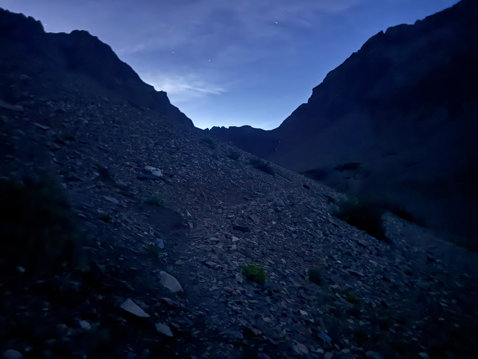
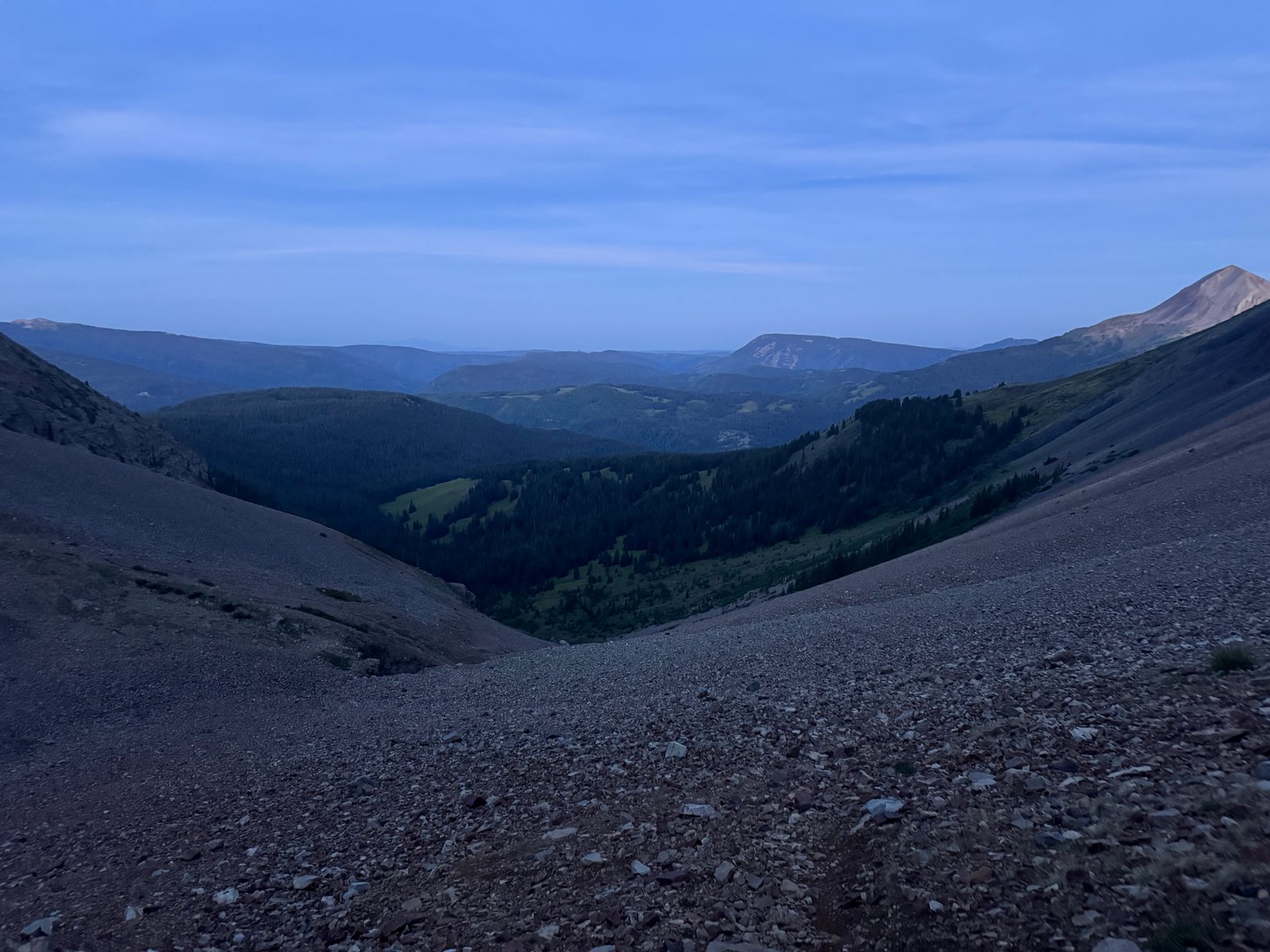
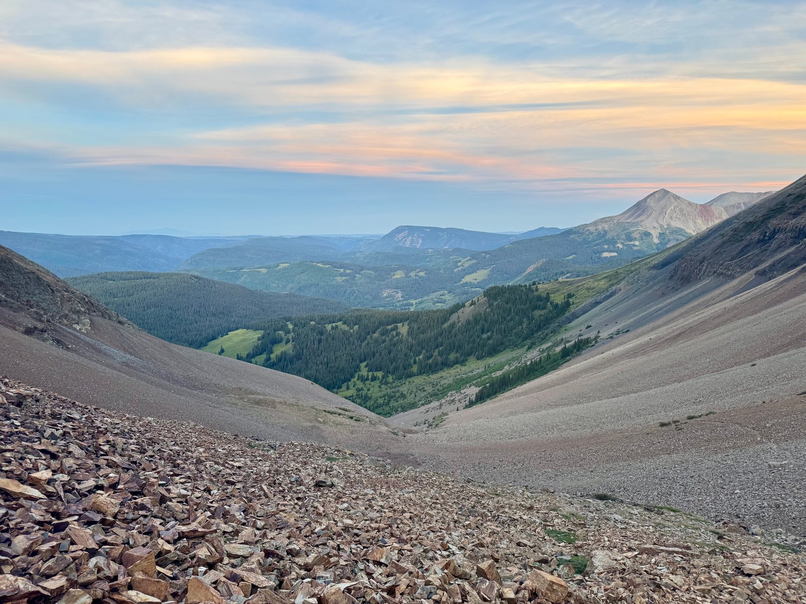
The climb into the talus-filled upper basin was a slog but it’s a nice place for it. El Diente and Mt. Wilson are connected by a ridge that runs from El Diente in the west to Mt. Wilson, a mile to the east. Kilpacker basin lies below that ridge on the south slopes of both peaks. The trail continues to cross El Diente’s talus-covered southern slopes, working east higher and higher into the basin past a series of slopes that block the view of the far basin wall to a vaguely-marked junction for the two peaks.
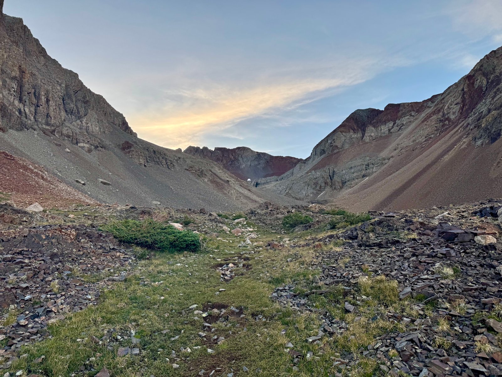
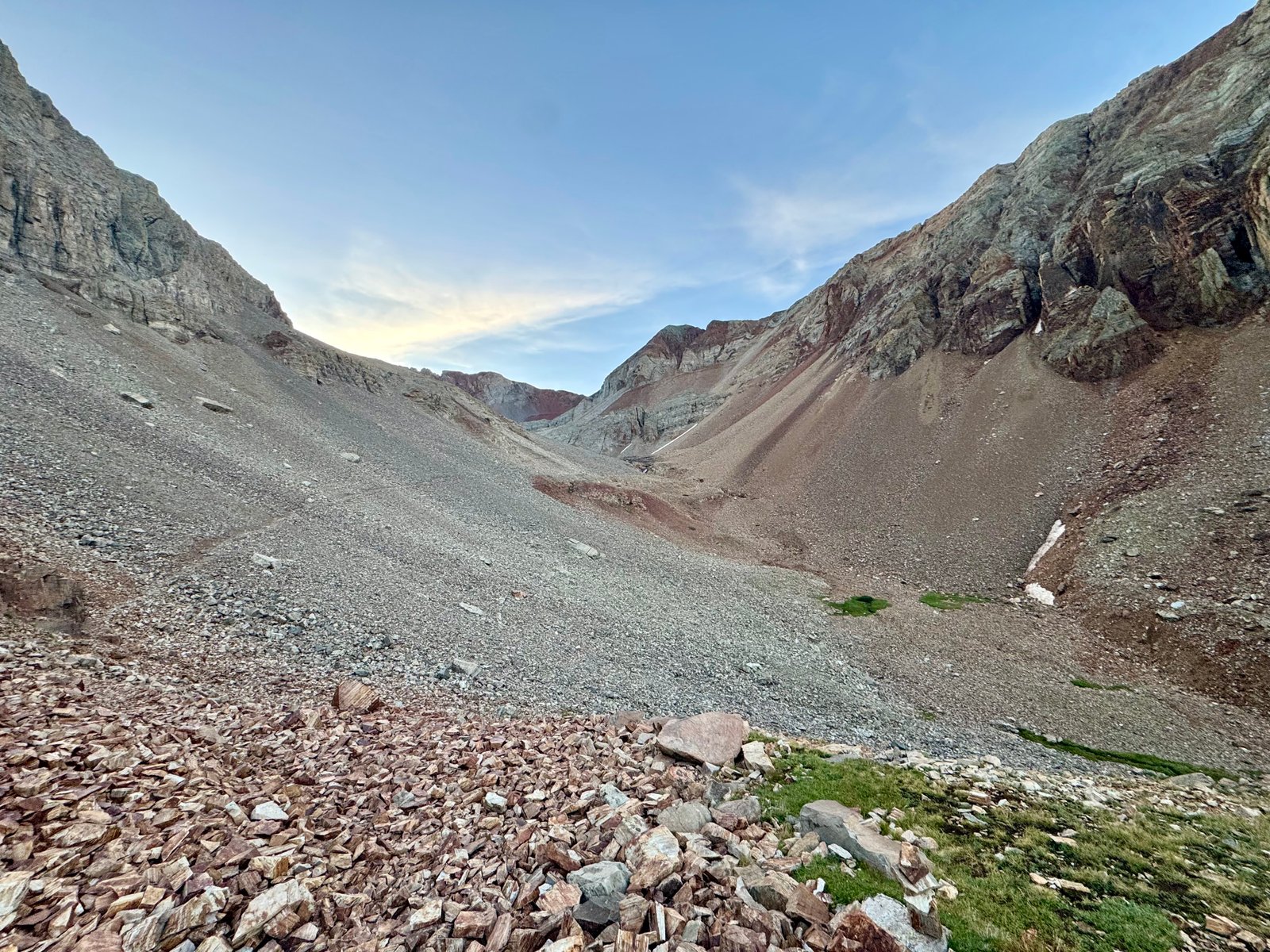
Somewhere on one of these endless talus-covered sidehills, I slipped and fell backwards onto the slope, mostly onto my hands. A couple small cuts would be the worst of the injuries for the day.
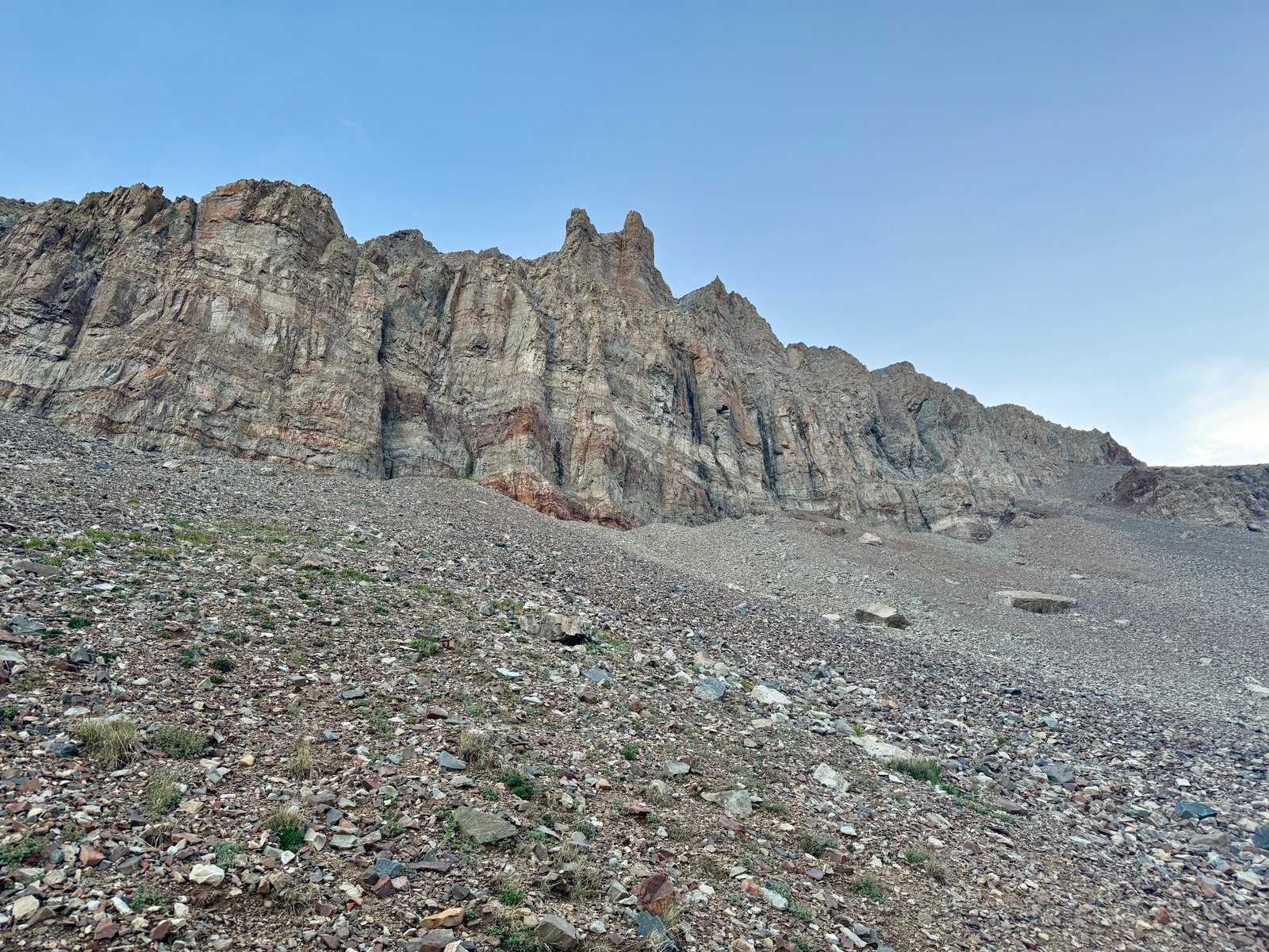
Finally, after passing below and beyond El Diente’s summit to the left, the far end of the basin comes into view. Somewhere in the upper left corner is Mt. Wilson, and Wilson’s southwest slopes trail continues towards the end of the basin.
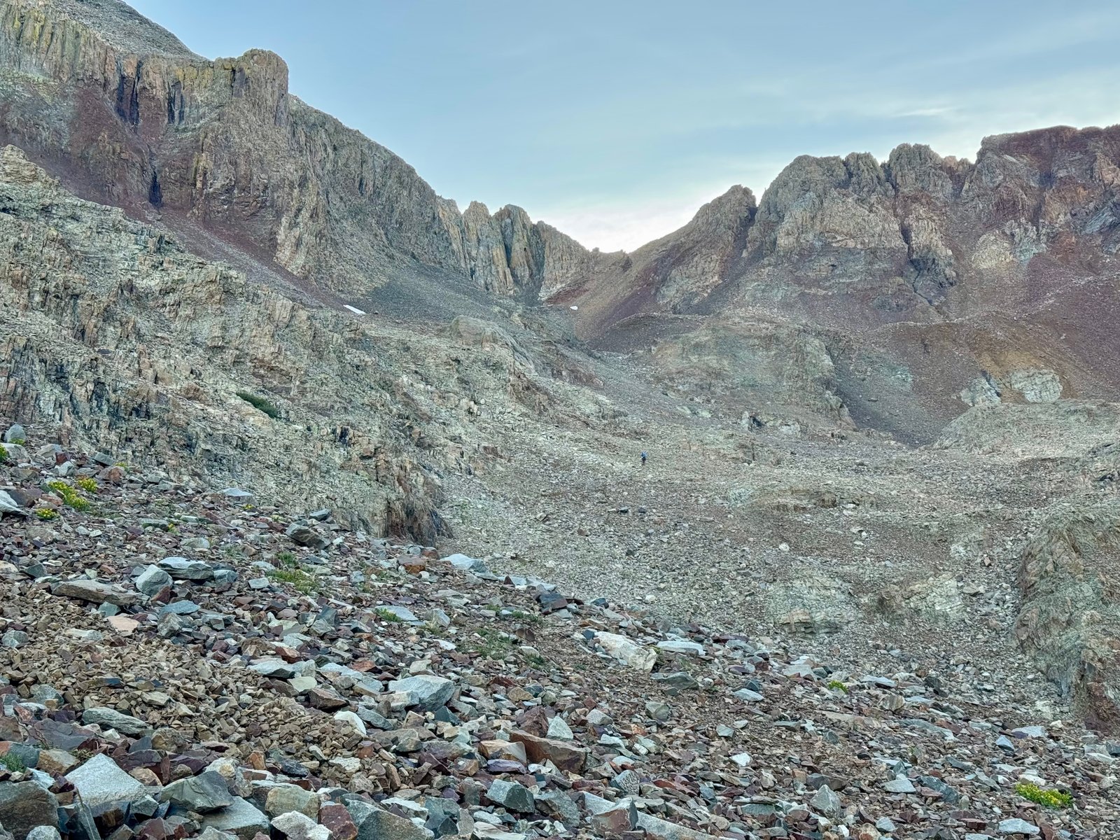
Somewhere at 12,600′, around when Wilson first comes into view, is a junction for Wilson’s southwest slopes and El Diente’s south slopes. I’d heard the turn was only sorta marked and was on the lookout for it, and as a result it was both easy to miss and obvious. I found it just after 6:30am.
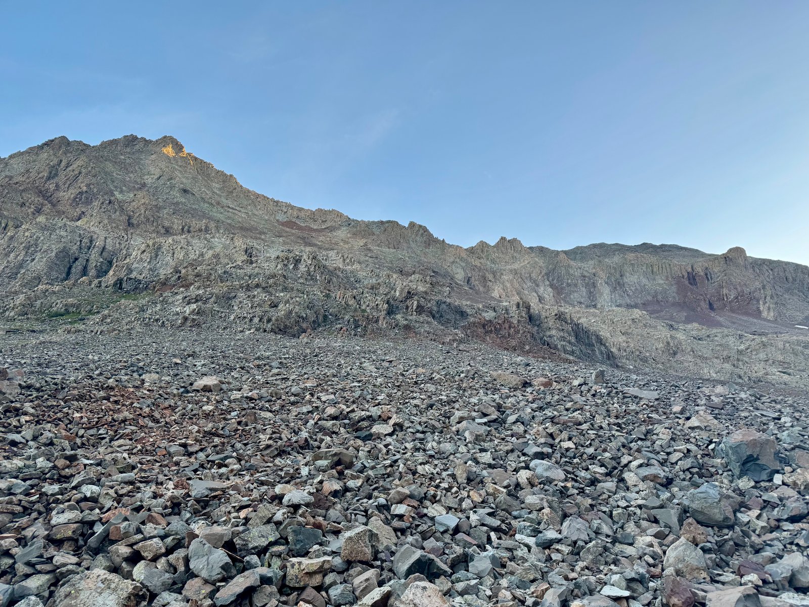
The trail zig-zags up the slopes to dodge cliff bands until reaching a large rock feature called the “Organ Pipes” just below the ridge crest.
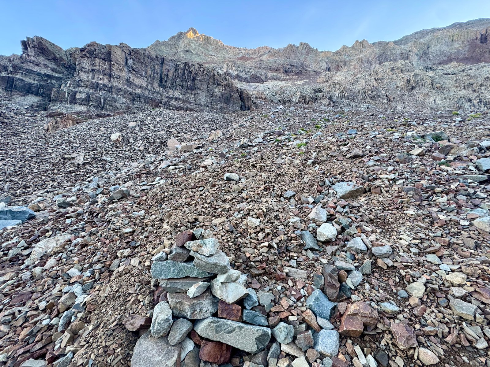
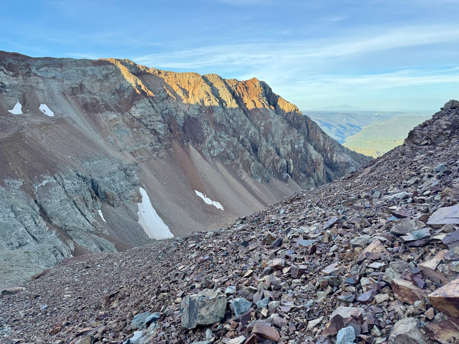
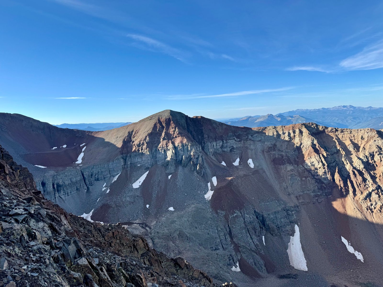
For the short-term, this does just mean steeper talus hiking, connecting segments of visible trail to each other across the steep rock slope. In the meantime, the views in the upper basin are pretty great.
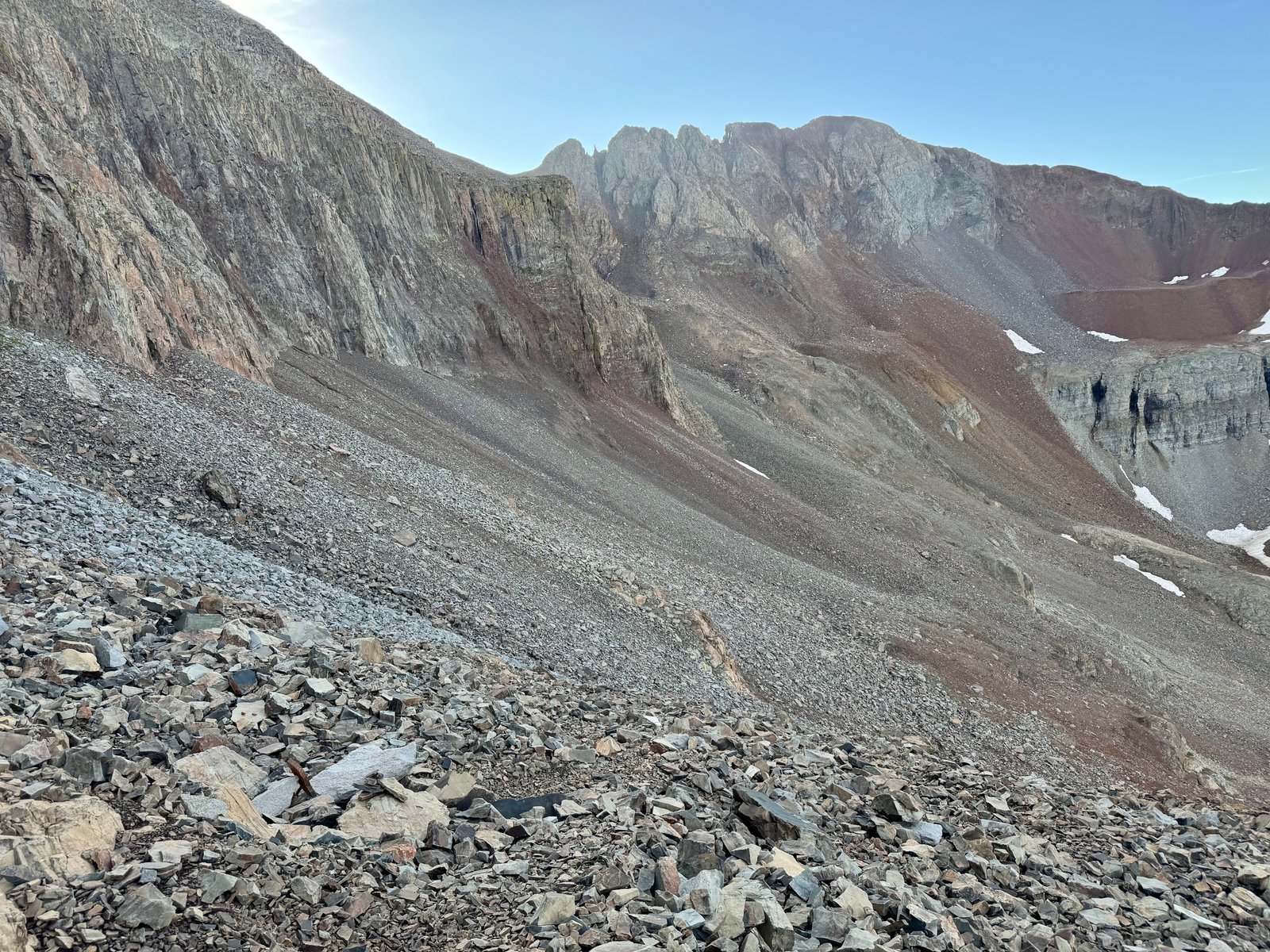
After dodging several sets of cliffs by staying on the talus slopes, the Organ Pipes and ridge crest come into view. The next goal is to climb a short gully that leads to the base of the Organ Pipes. I could see a climber above me in the gully. Somewhere around this point I put my helmet on. Also around this point a very confident marmot walked right up to me before proceeding down the mountain.
Marmot inspection.
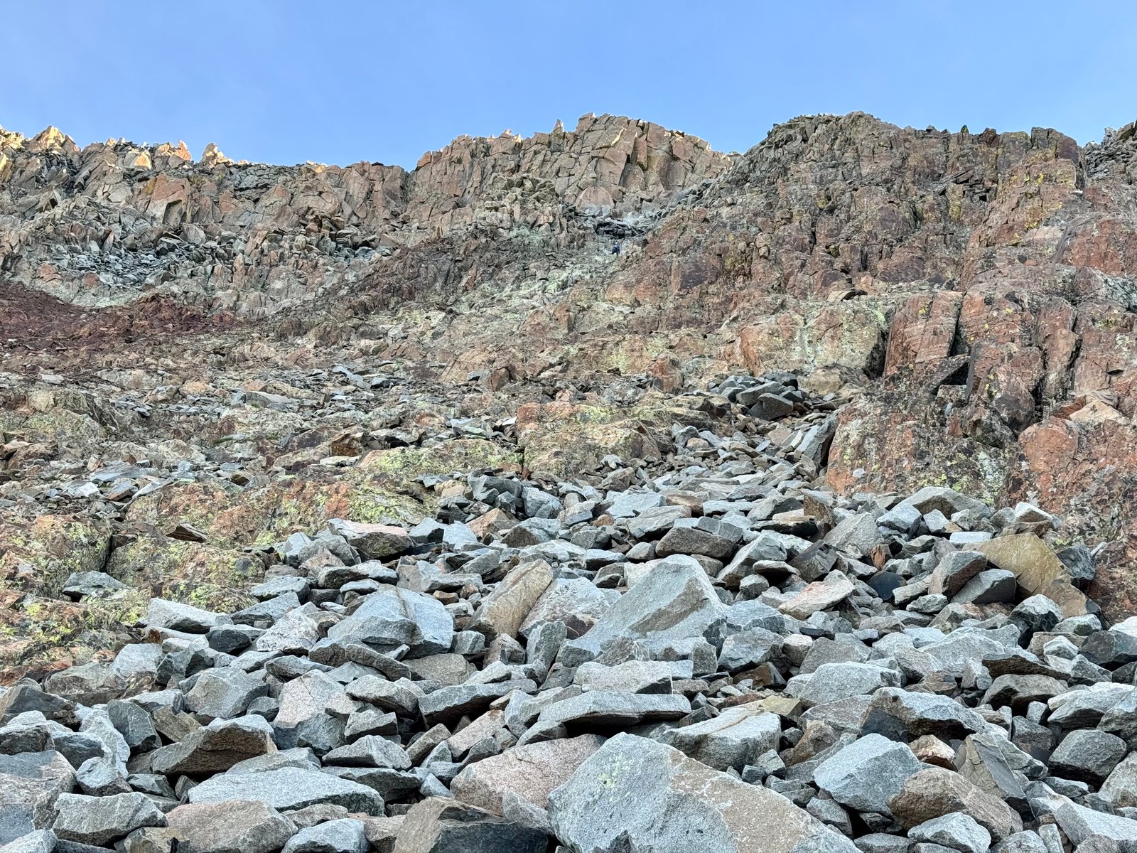
The gully offered a break from the talus with some easy scrambling up mostly solid rock.
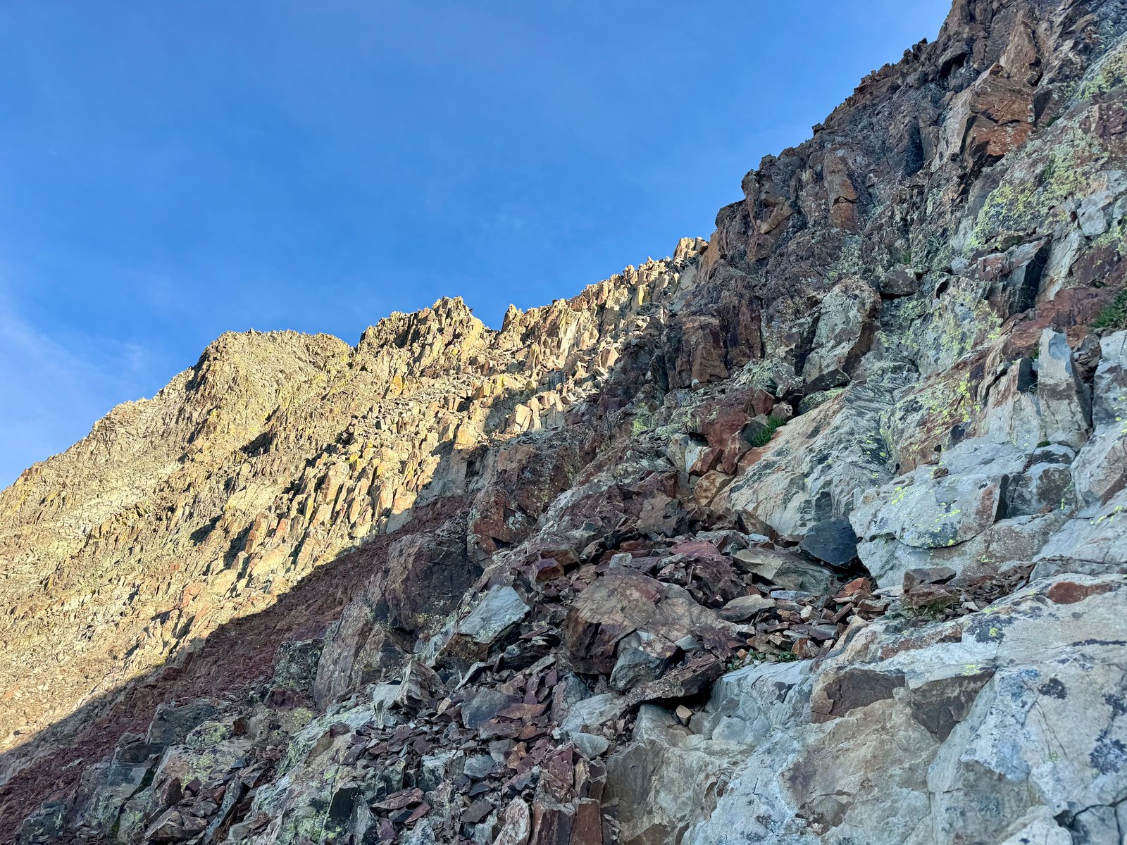
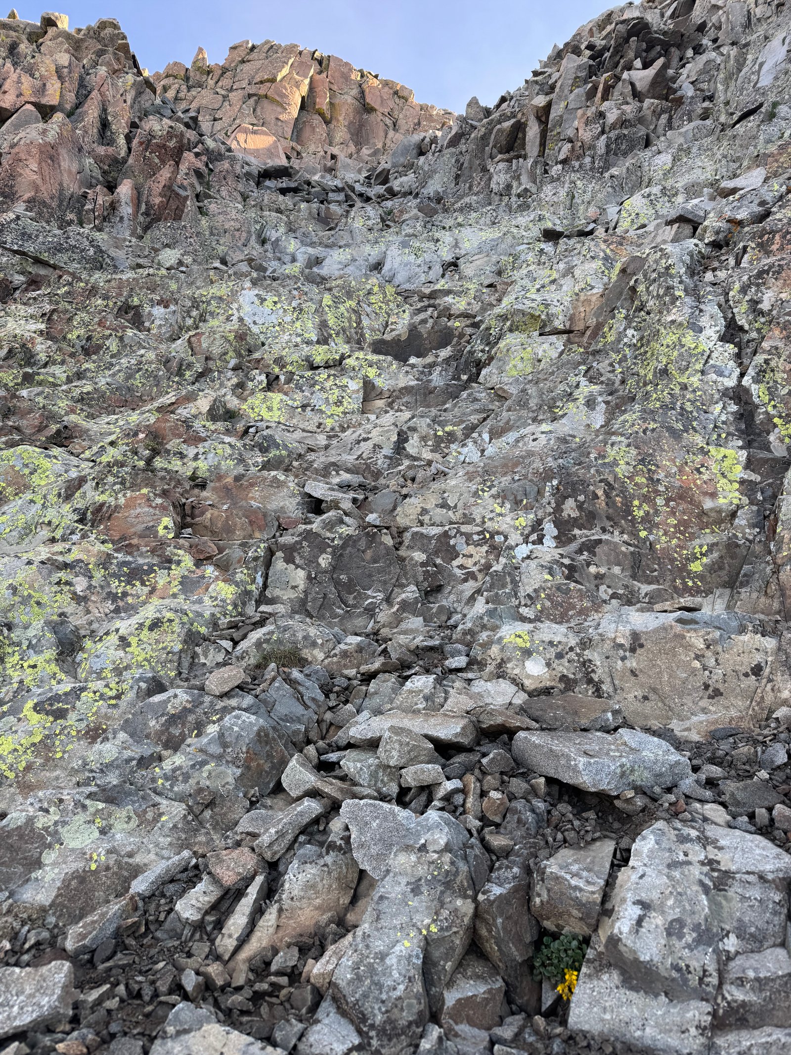
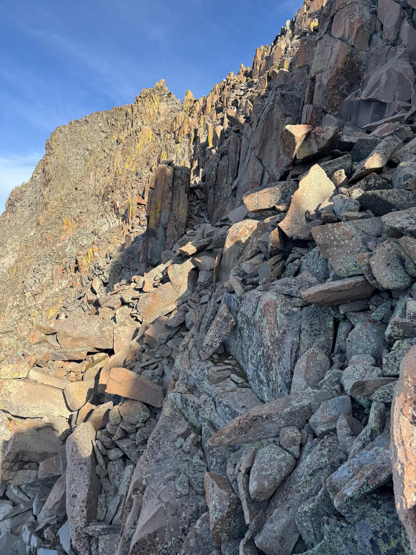
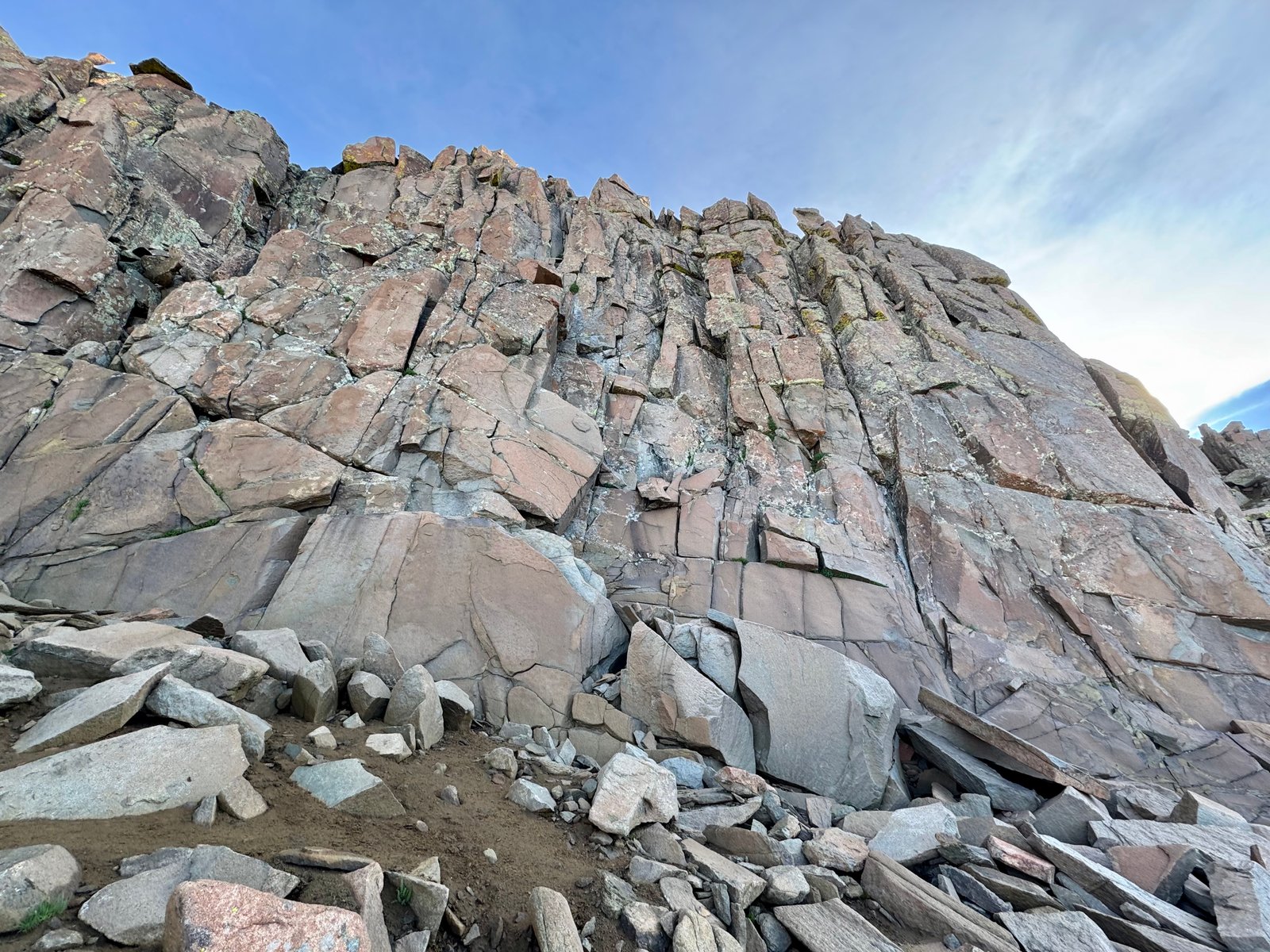
I reached the base of the Organ Pipes at 8:05am, over 90 minutes after leaving the Diente-Wilson trail junction. The traverse to Wilson picks up here, to the right; El Diente’s summit is to the left.
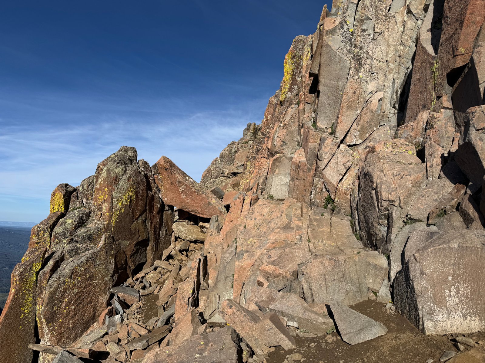
At the ridge crest, Wilson Peak (14,021′) (not to be confused with Mt. Wilson) is visible to the north.
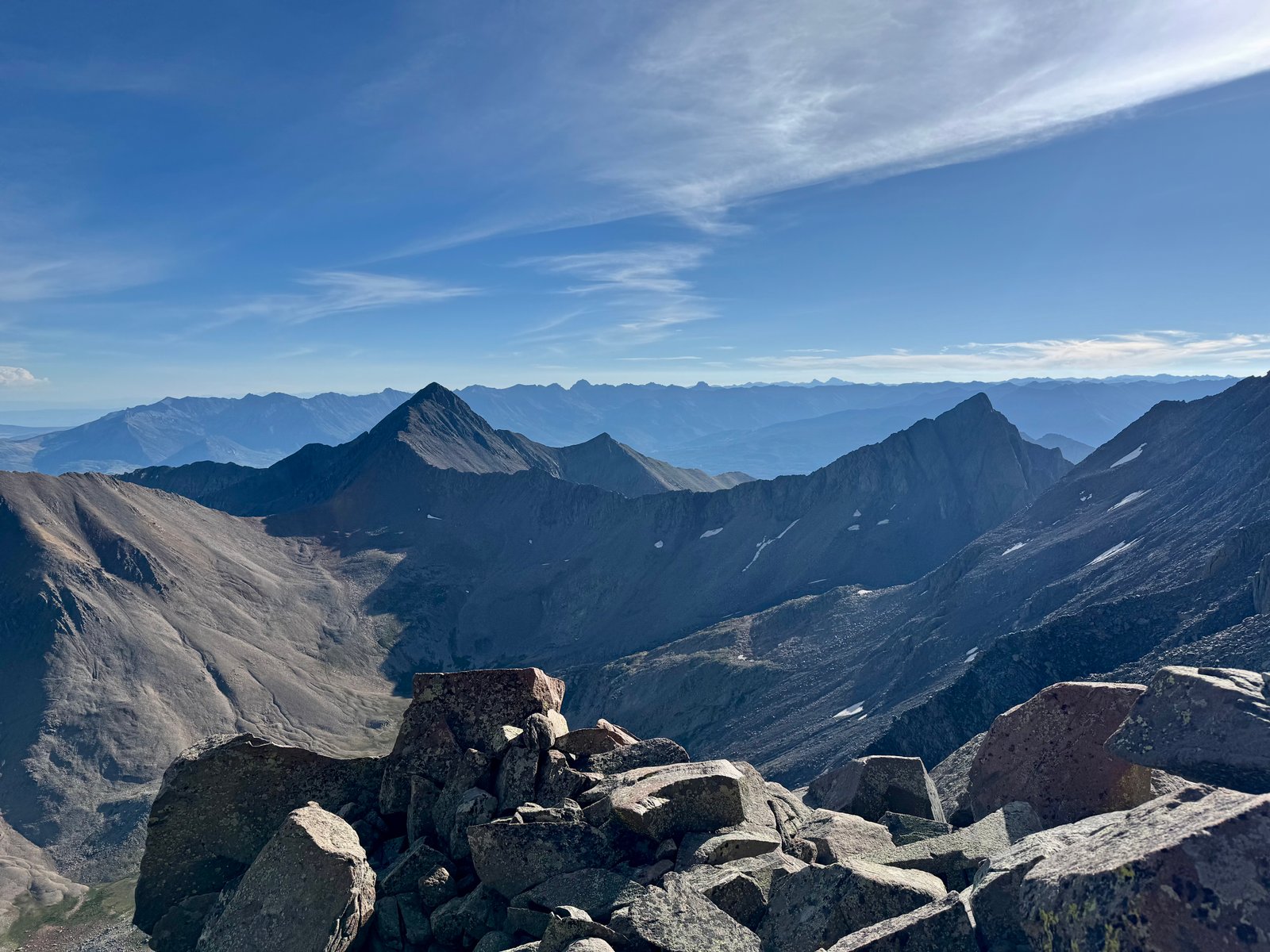
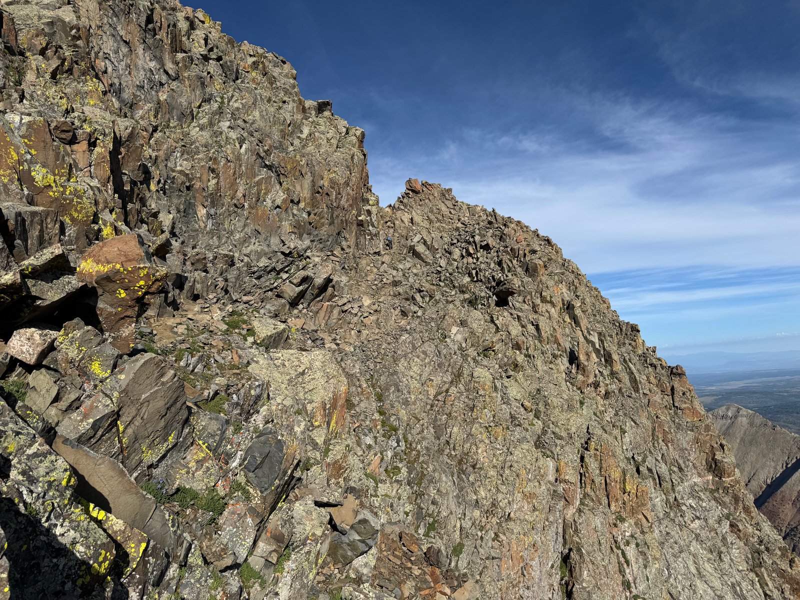
Now on the ridge crest, the route turns left and crosses onto the other side of the ridge, wrapping back around and up to the summit. The path is straightforward to follow along a ledge that drops down to a notch.
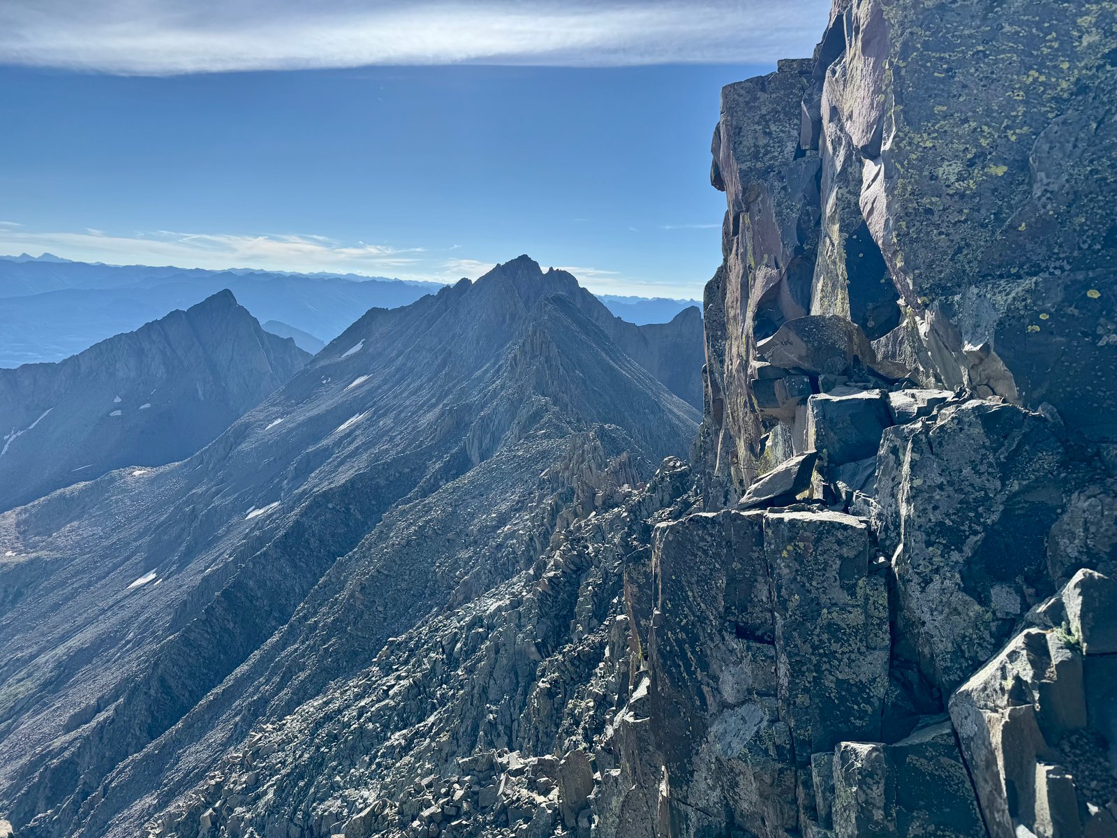
From the notch, I had a great view of the ridge to Mt. Wilson.
El Diente’s’ summit is a short scramble away. The trick is to stay out of the steep, loose dirt and rock gully and instead stay on the solid rock on the left side.
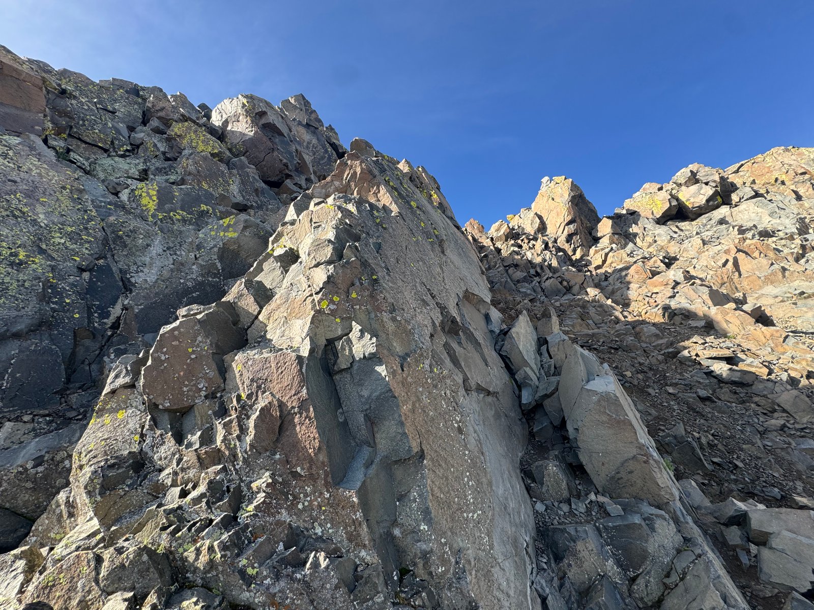
I scrambled up the rock to the left of the gully, turned right at the top of the ridge, and arrived at the summit blocks at 8:30am, just behind the climber in front of me.
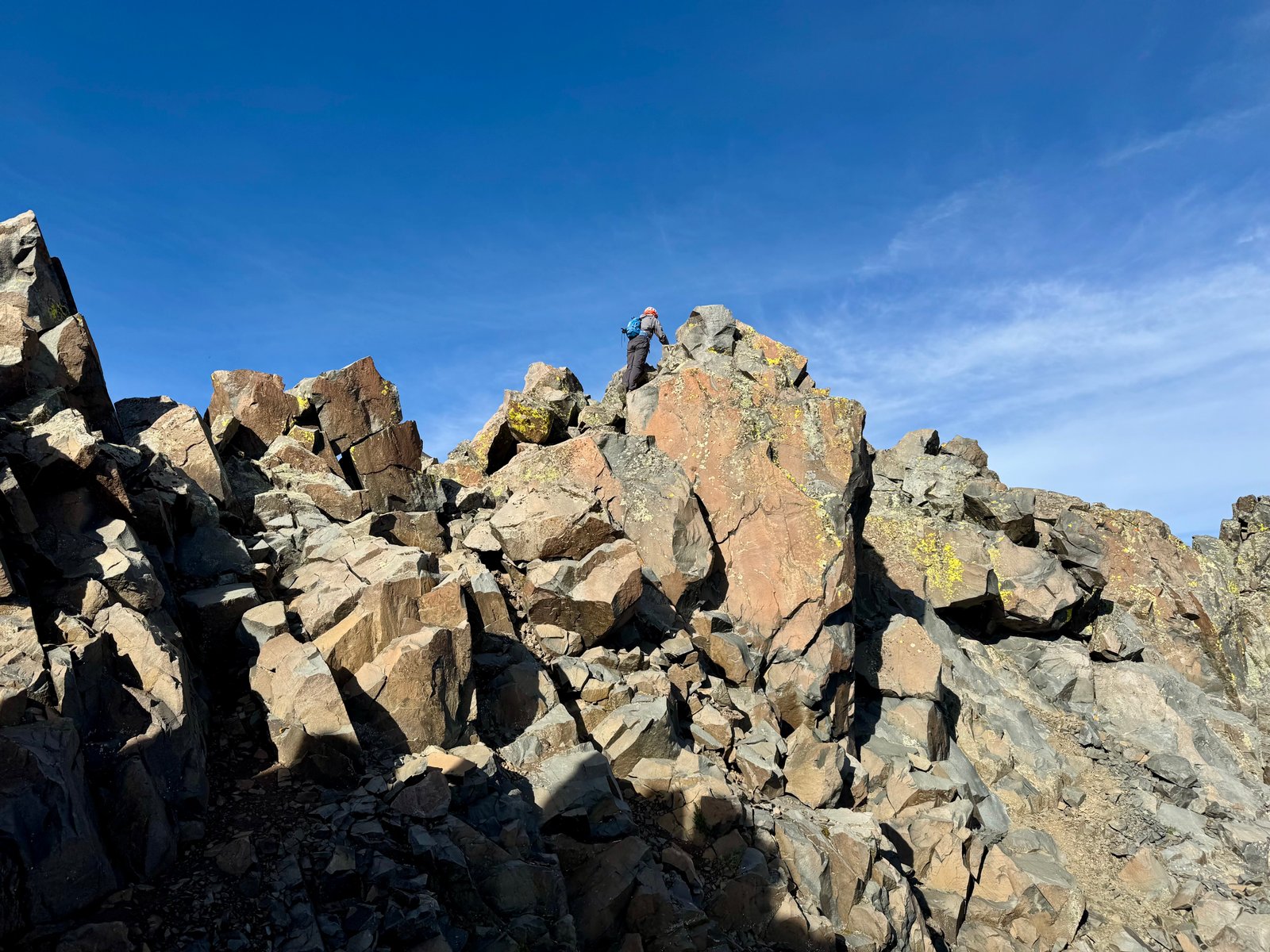
El Diente’s summit looks massive in photos but the actual highest point on its summit ridge is a boulder the size of a coffee table jumbled amongst others around the same size but slightly lower. It’s not as precarious as Sunlight’s summit but it’s one of the small ones.
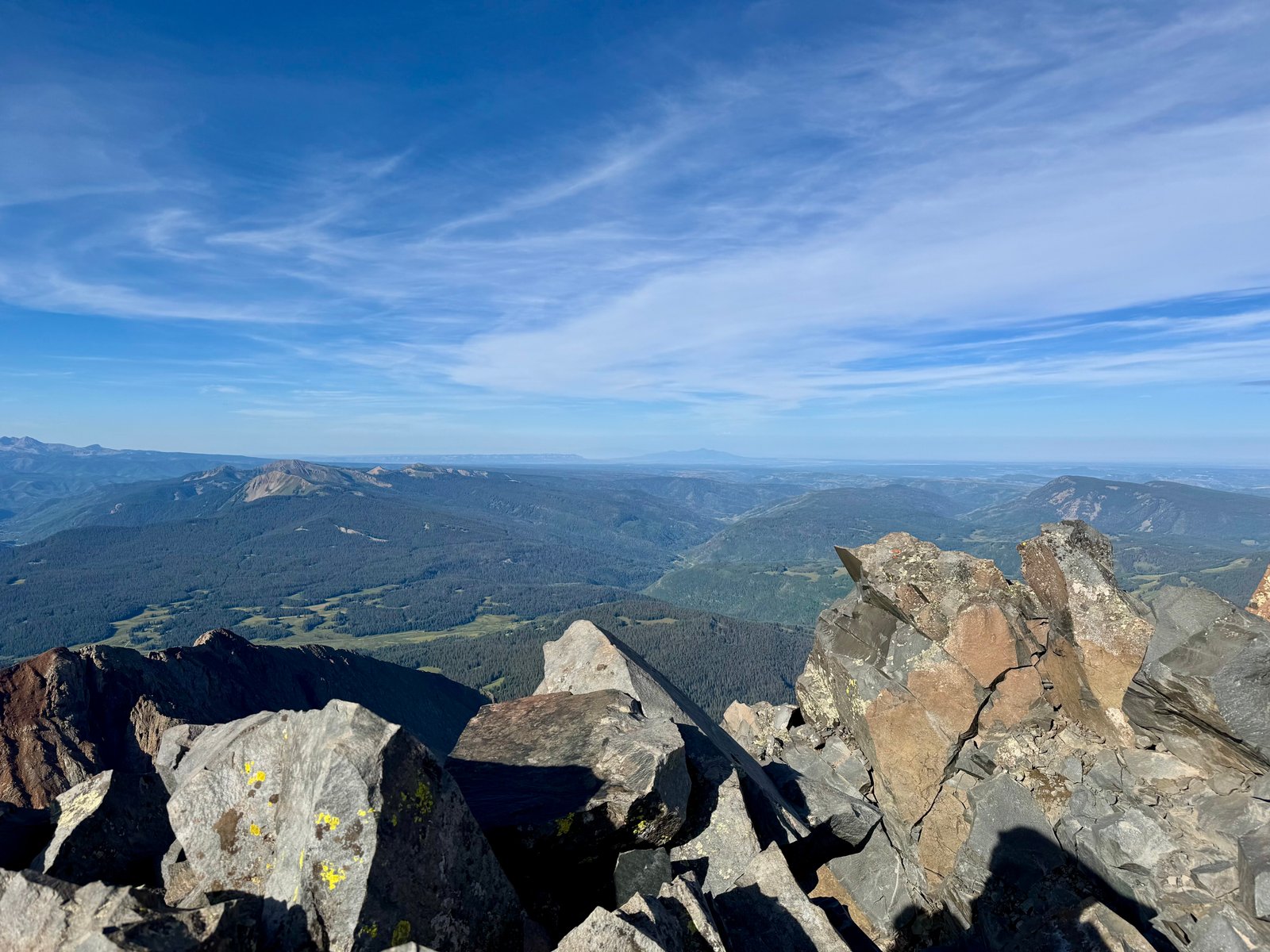
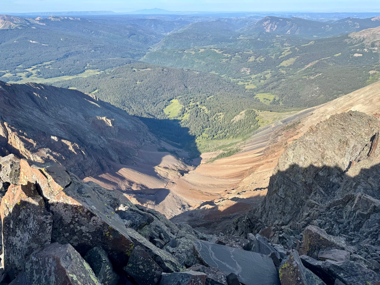
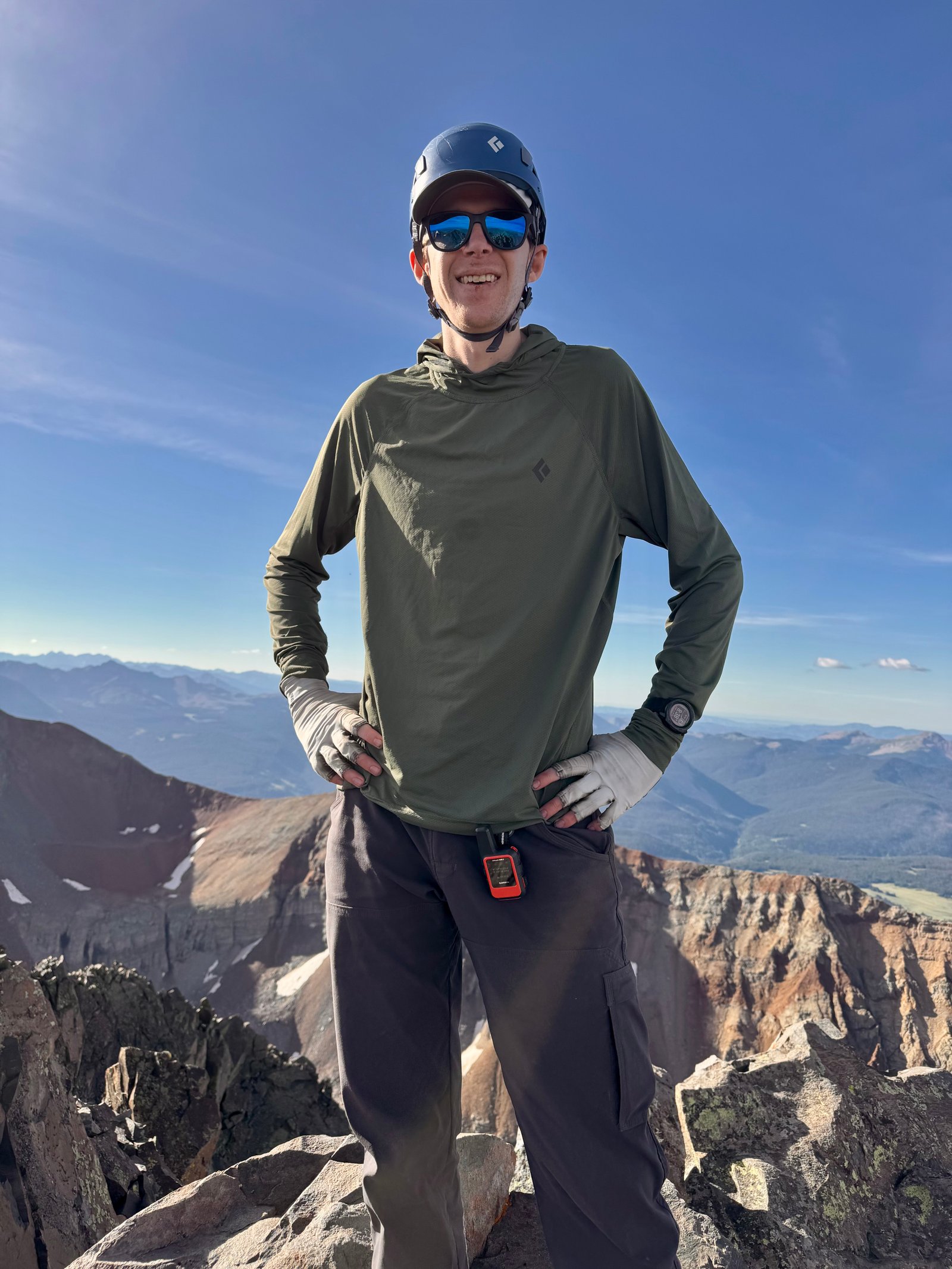
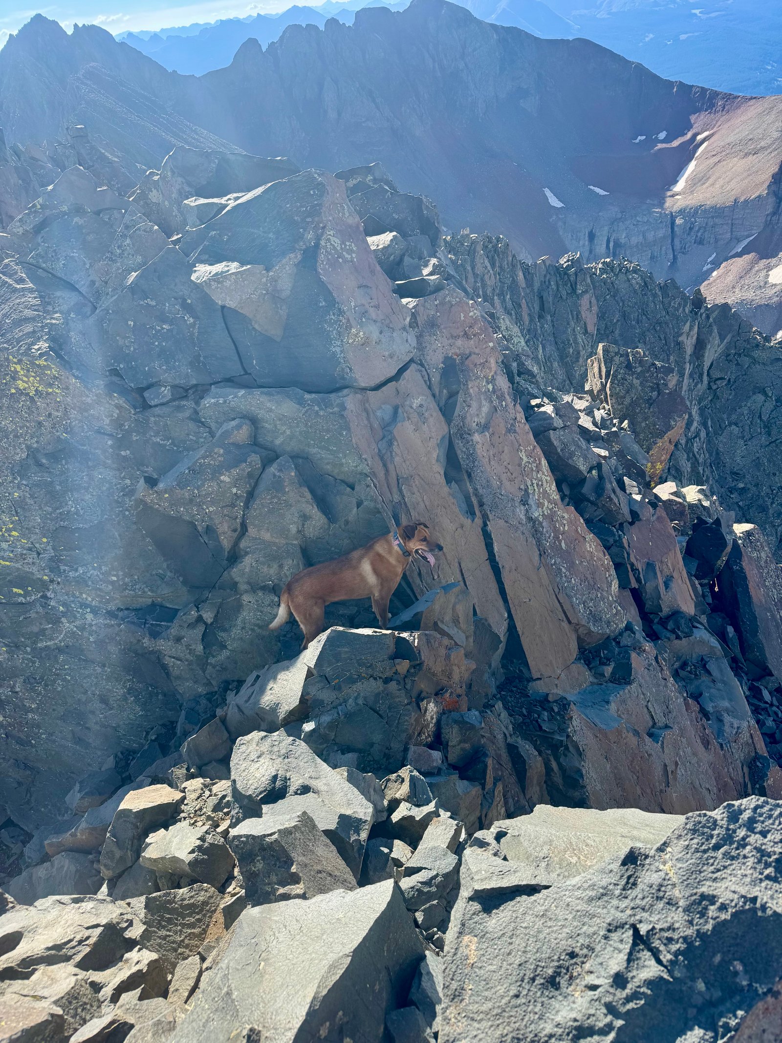
The climber ahead of me was an older guy named Joe. We talked for a bit and I got his number to send him a couple summit photos plus the others I’d taken from below him. He wasn’t planning on doing the traverse. I stayed on the summit for a while, trying to get as many snacks down as I could (and neglecting to take many photos, apparently). I left a little before 9am as the next climber arrived along with his dog, incredibly. I’m sort of stunned someone would take a dog up a climb like this, although it’s evidently possible. Turned out that this guy was finishing his last 14er with El Diente today. I asked if it was the dog’s finisher too; it wasn’t.
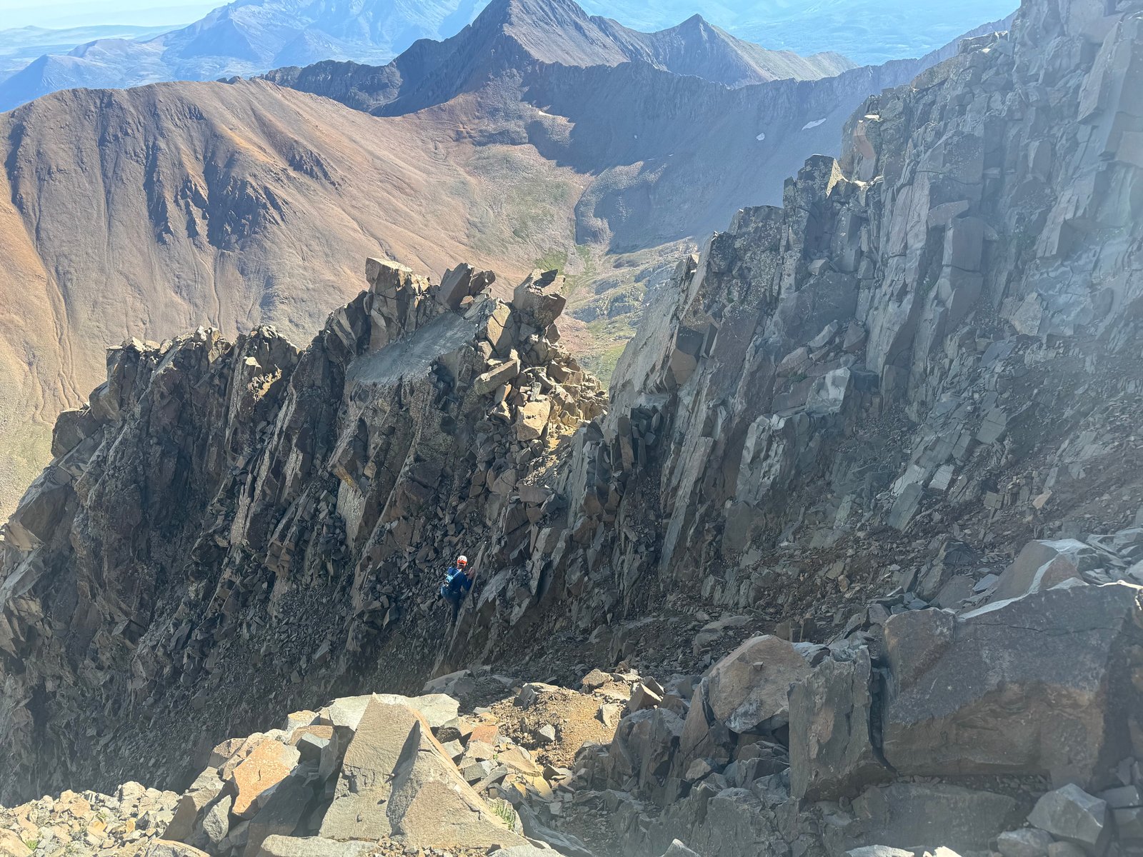
The sky still looked relatively clear and my target time to start the traverse had been 9am so I still felt good about launching. There’s not really any good bail options from the traverse and I knew I would be stuck finishing the traverse if bad weather rolled in. To begin the traverse, I had to downclimb back to the notch below the summit and return across the ledge to the ridge and then back to the Organ Pipes. From there, the traverse continues east along the ridge towards Mt. Wilson. Initially, it stays below the actual ridge crest to dodge some towers by crossing a loose gray rock slope. There was usually either a straightforward path to follow or cairns to connect.
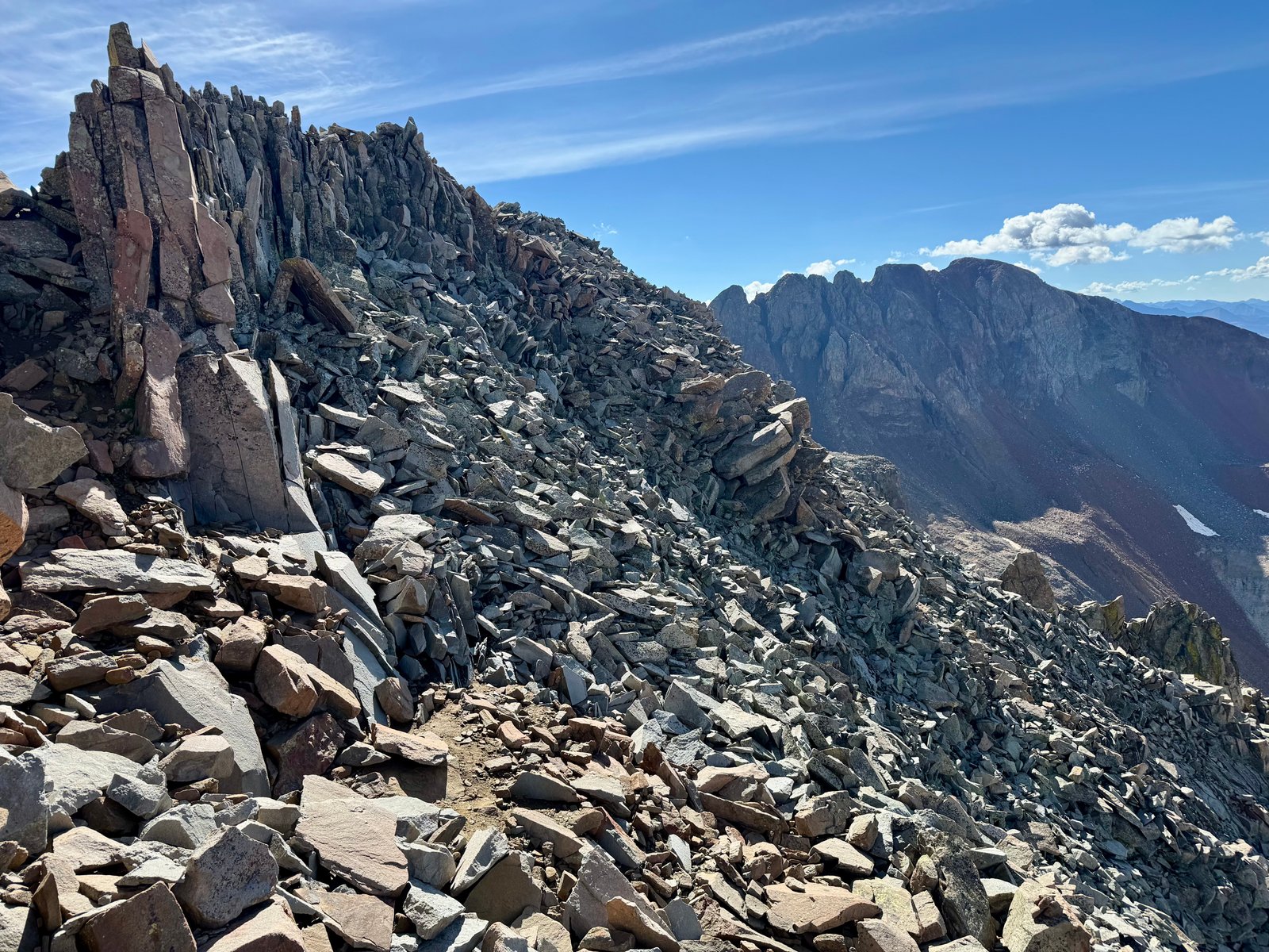
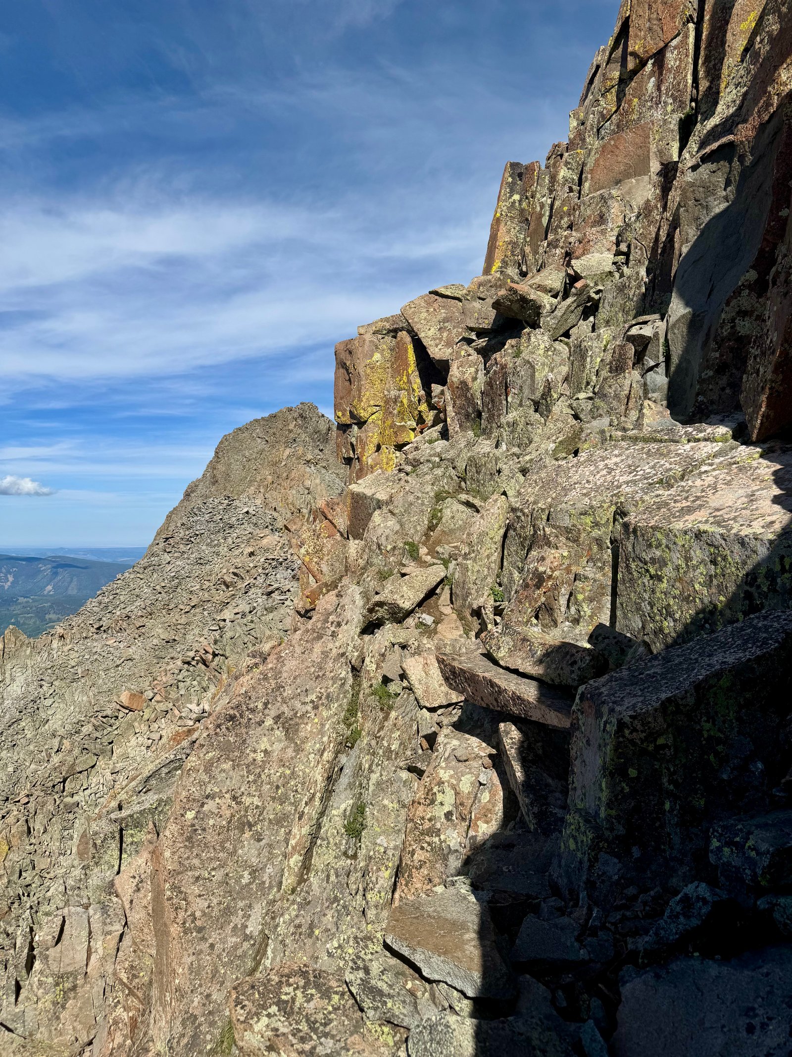
Eventually, I regained the ridge just before a large tower called “Pin Point.” The standard traverse route wraps around Pin Point to the right, crossing flat, stacked, refrigerator-sized boulders around the corner. This was the first real challenge.
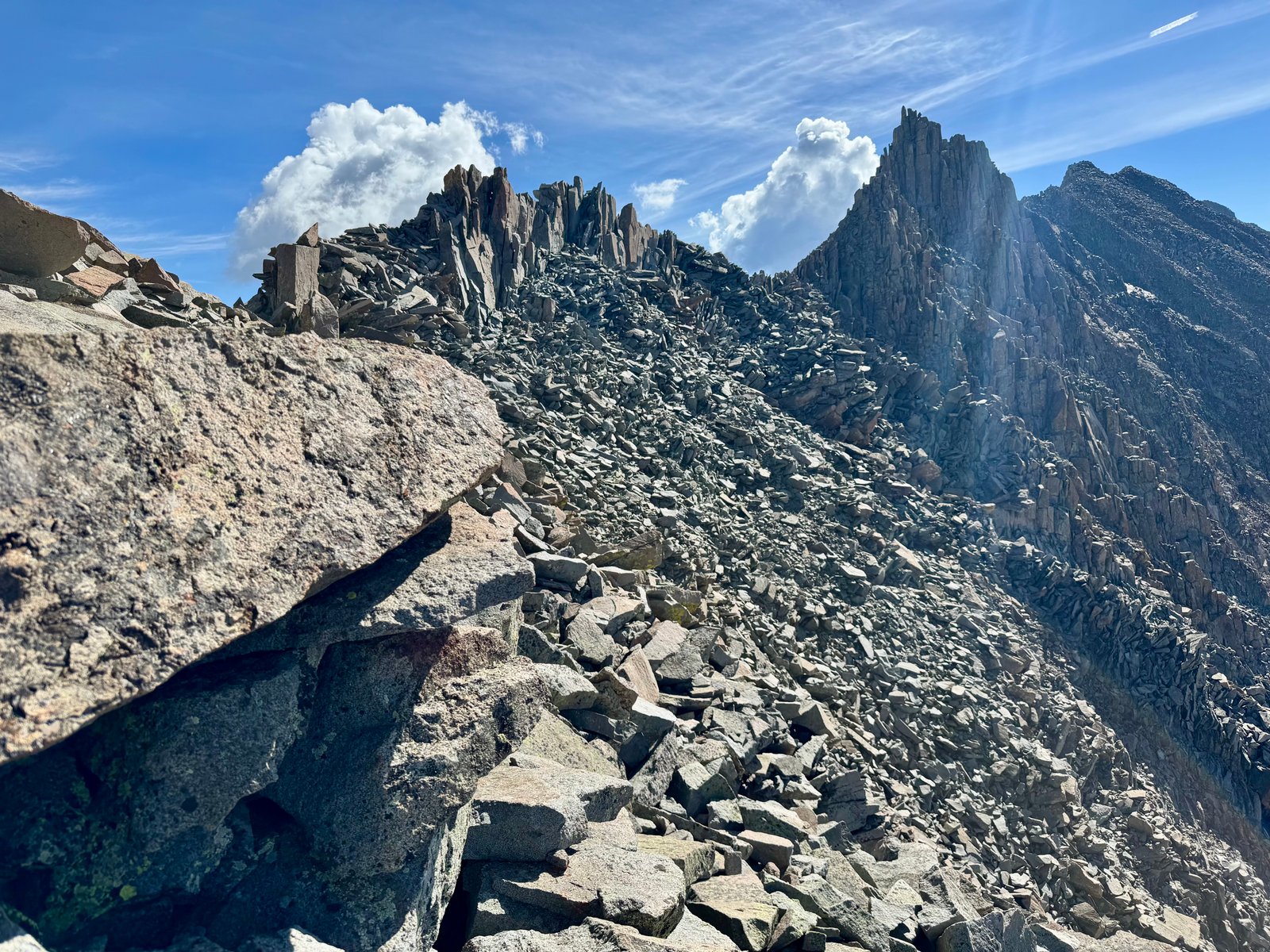
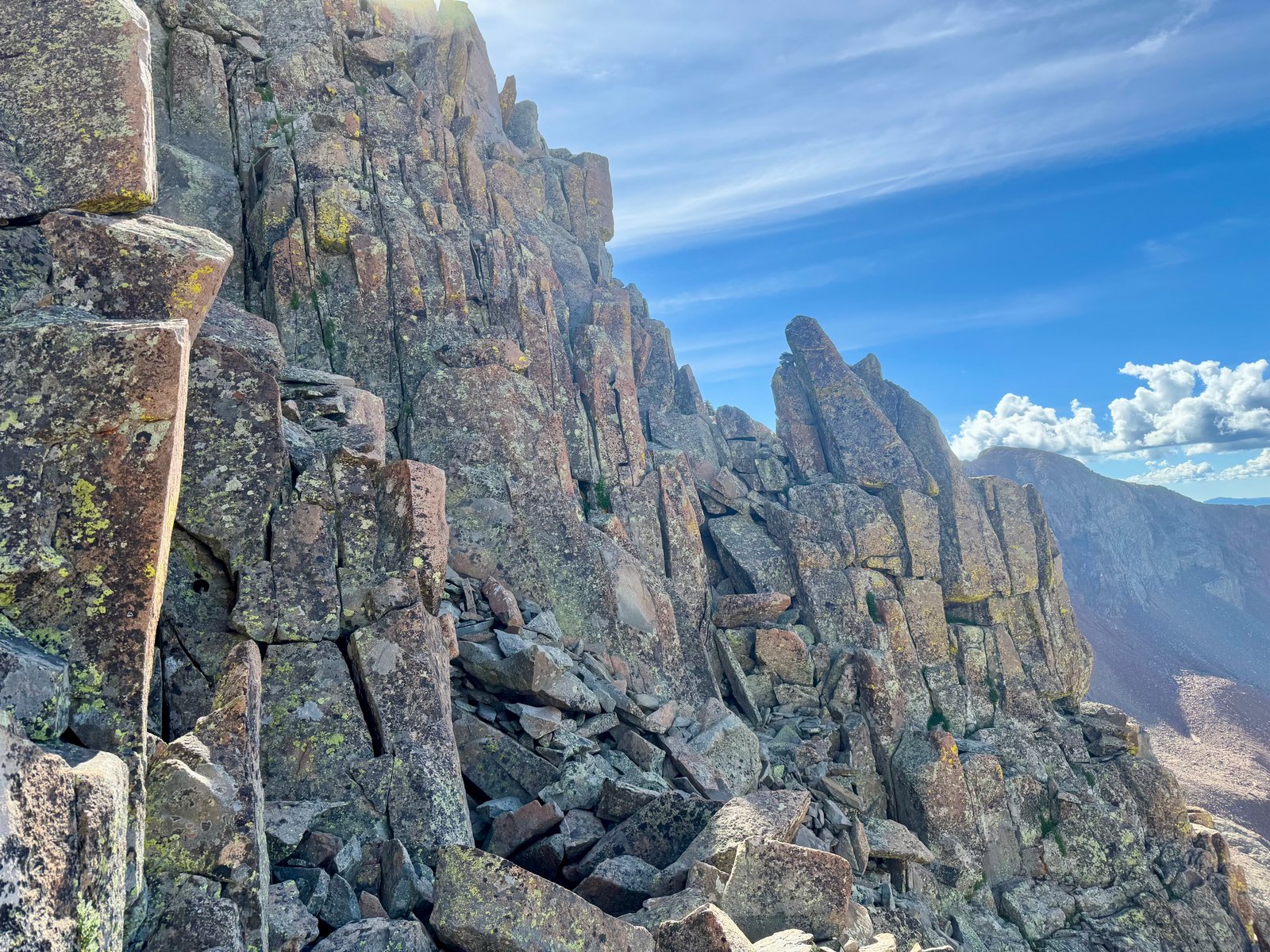
The actual route was essentially pretty straightforward ledge-crossing, but there are one or two pretty exposed steps, with a lot of air below you as you step around a rock corner.
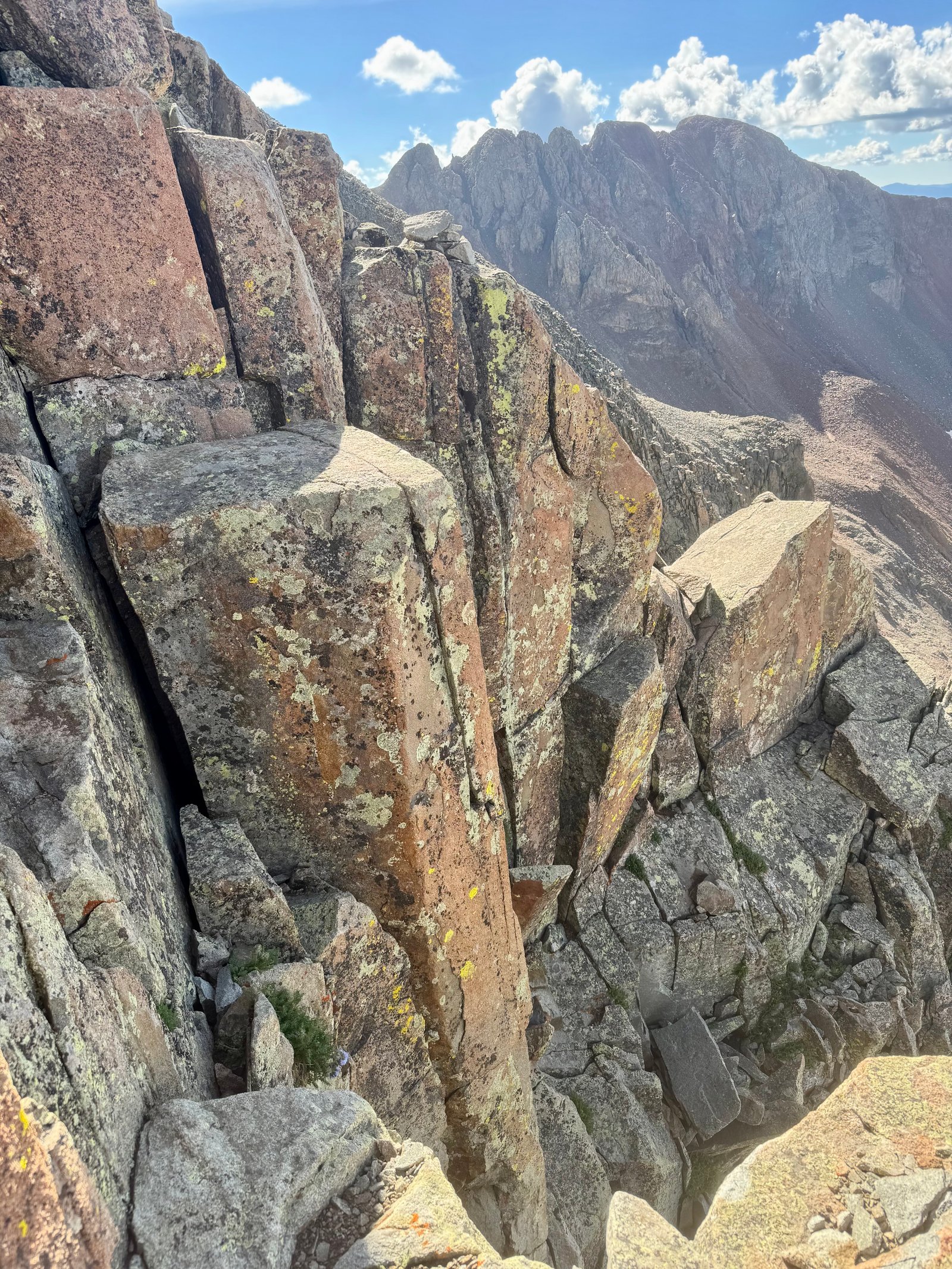
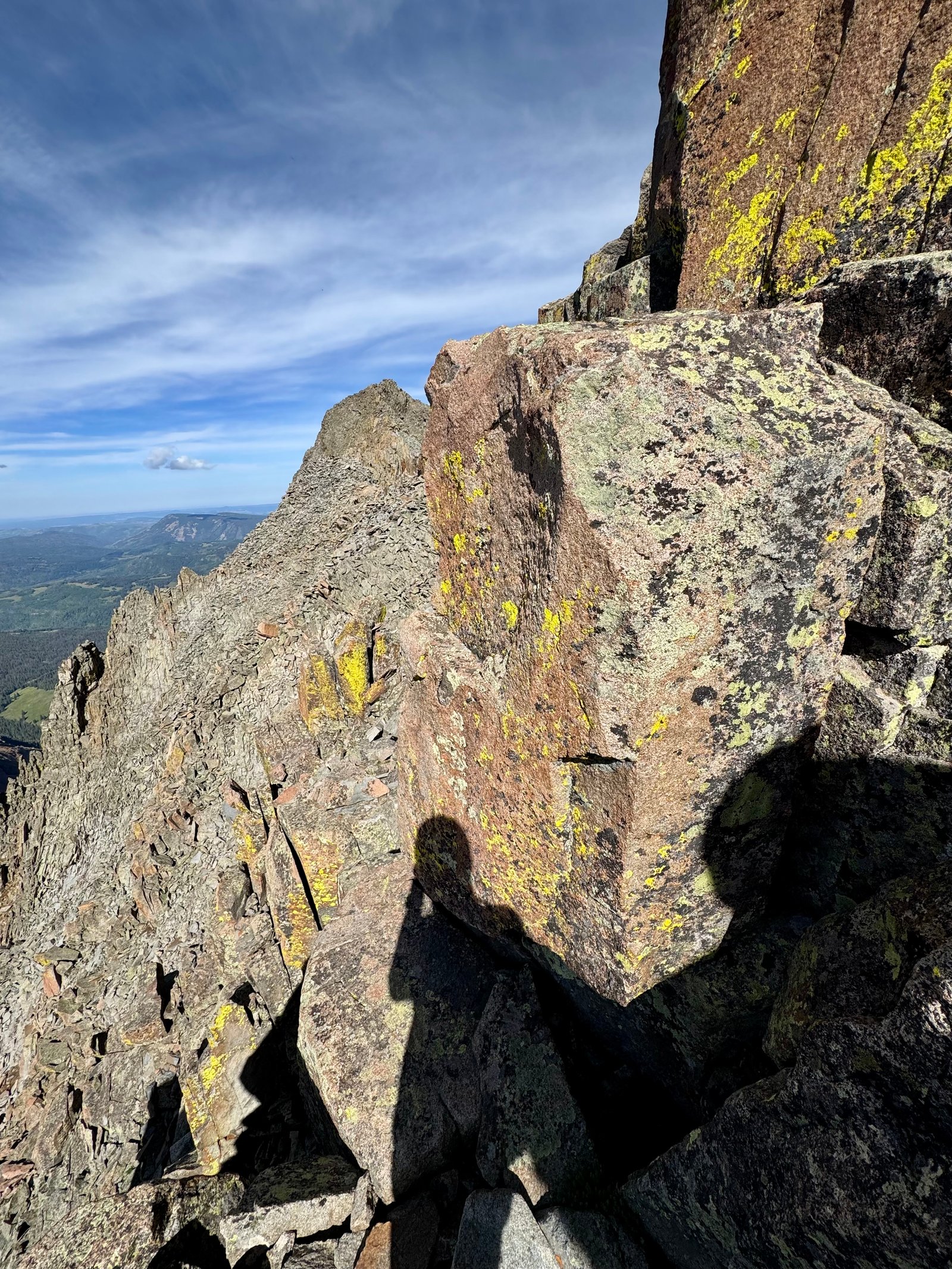
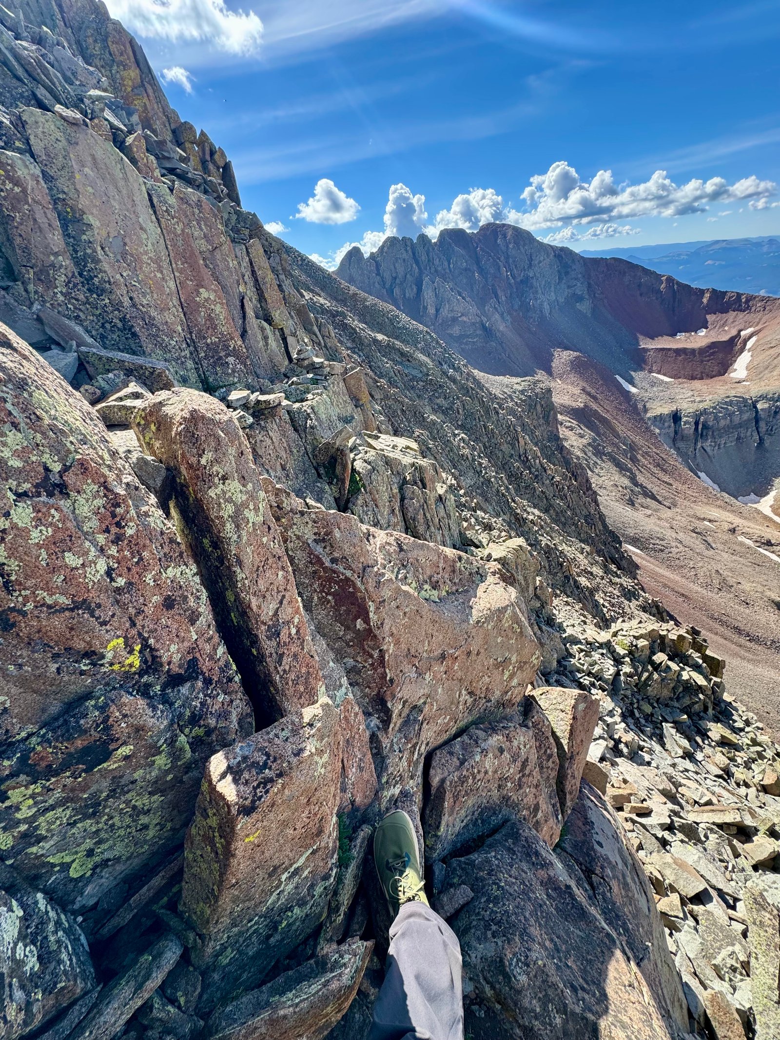
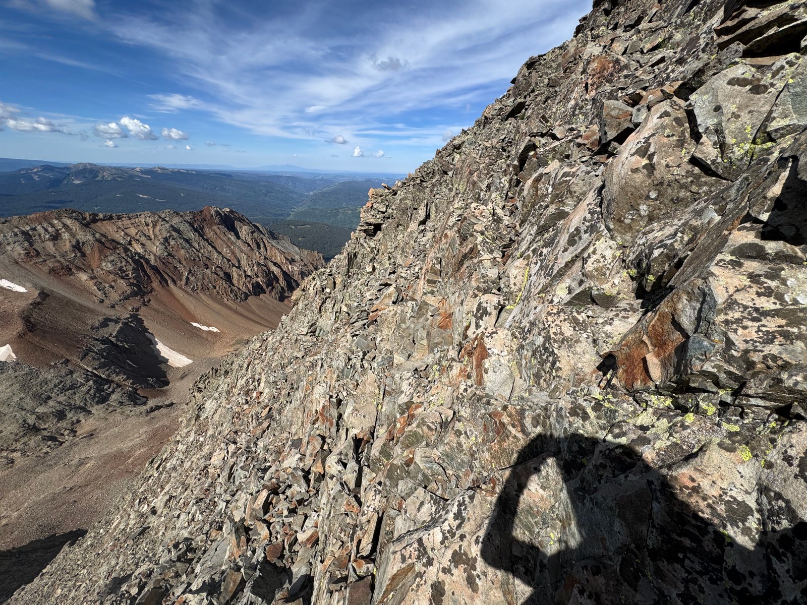
Eventually, the good times end and it’s back to climbing loose rocks to the ridge crest.
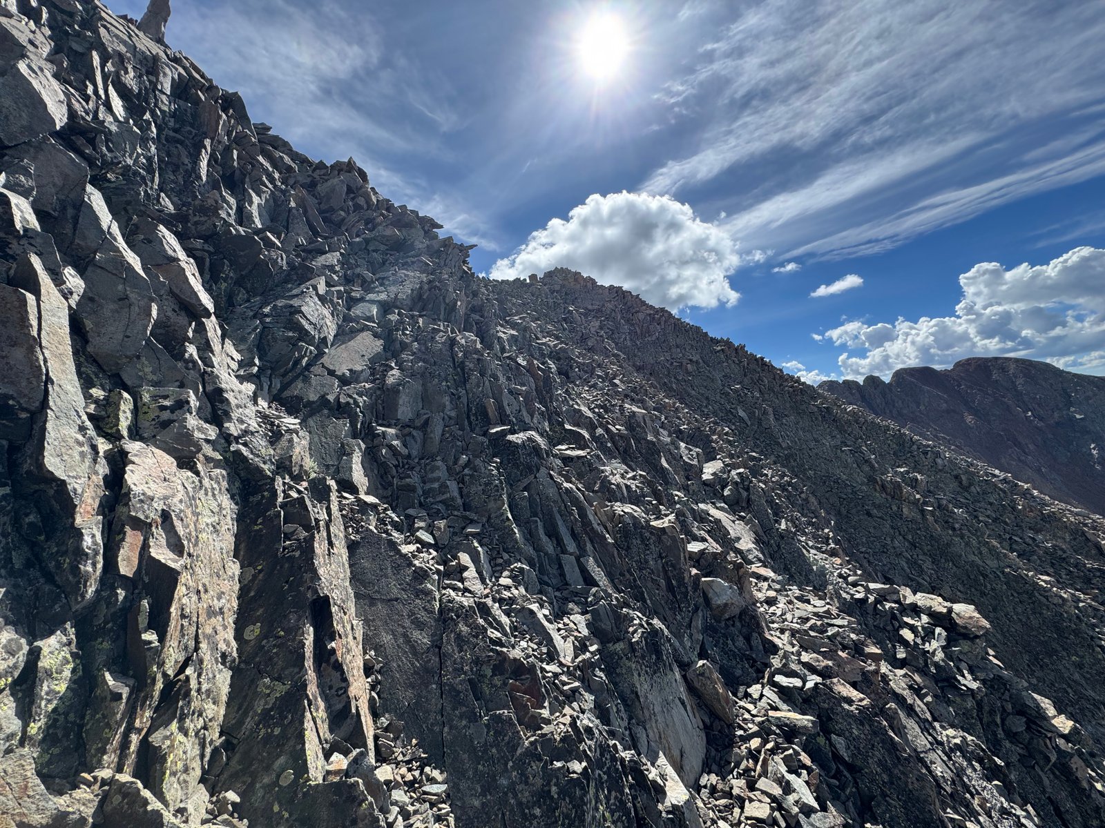
At this point, the ridge crest is itself a jumble of rocks resembling a sidewalk. It’s not too tricky or intimidating to navigate, at least for the first few hundred feet.
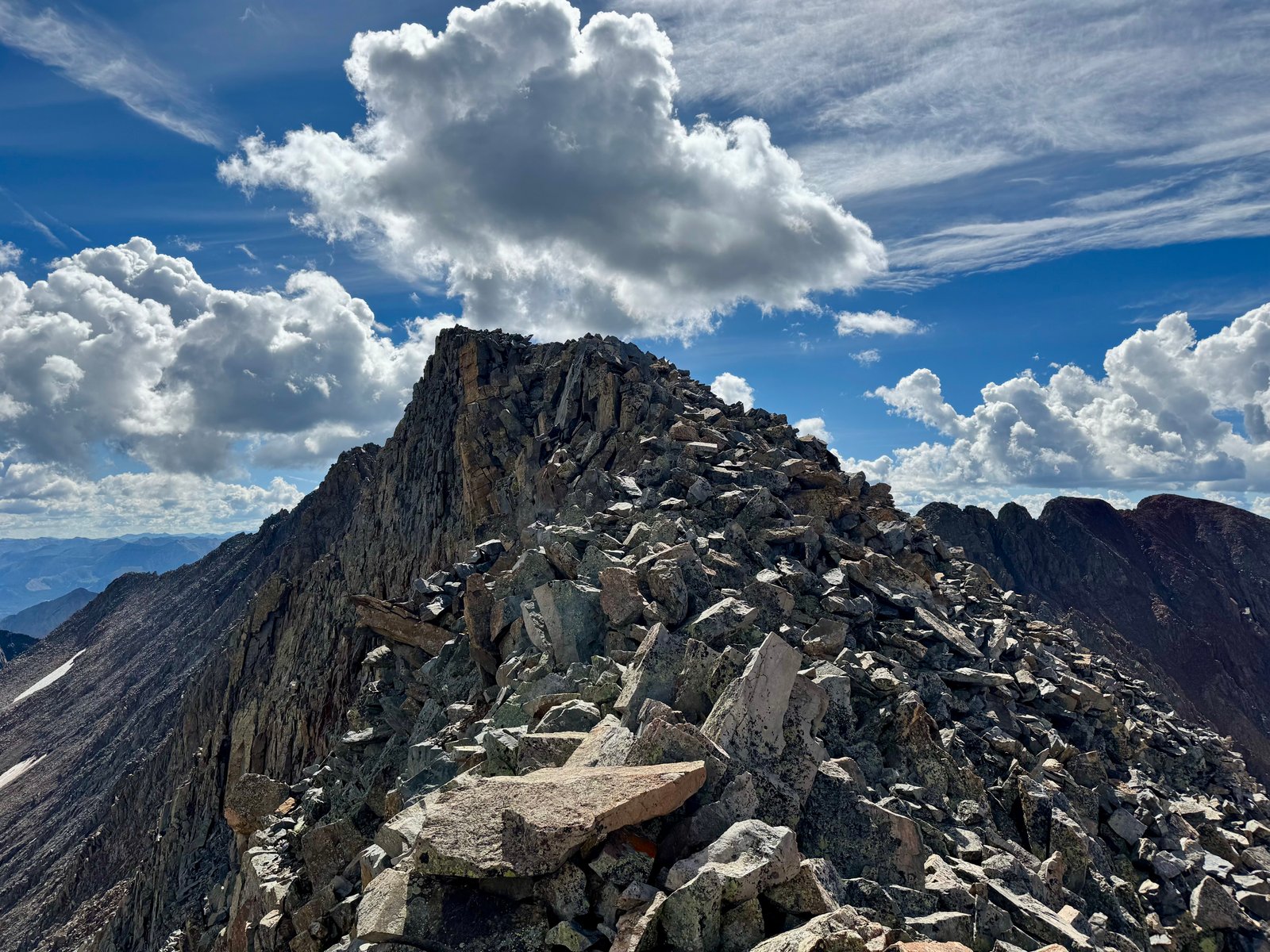
Around this time (10am), I noticed clouds had popped up in the past hour, and a couple of them were dark in a couple places.
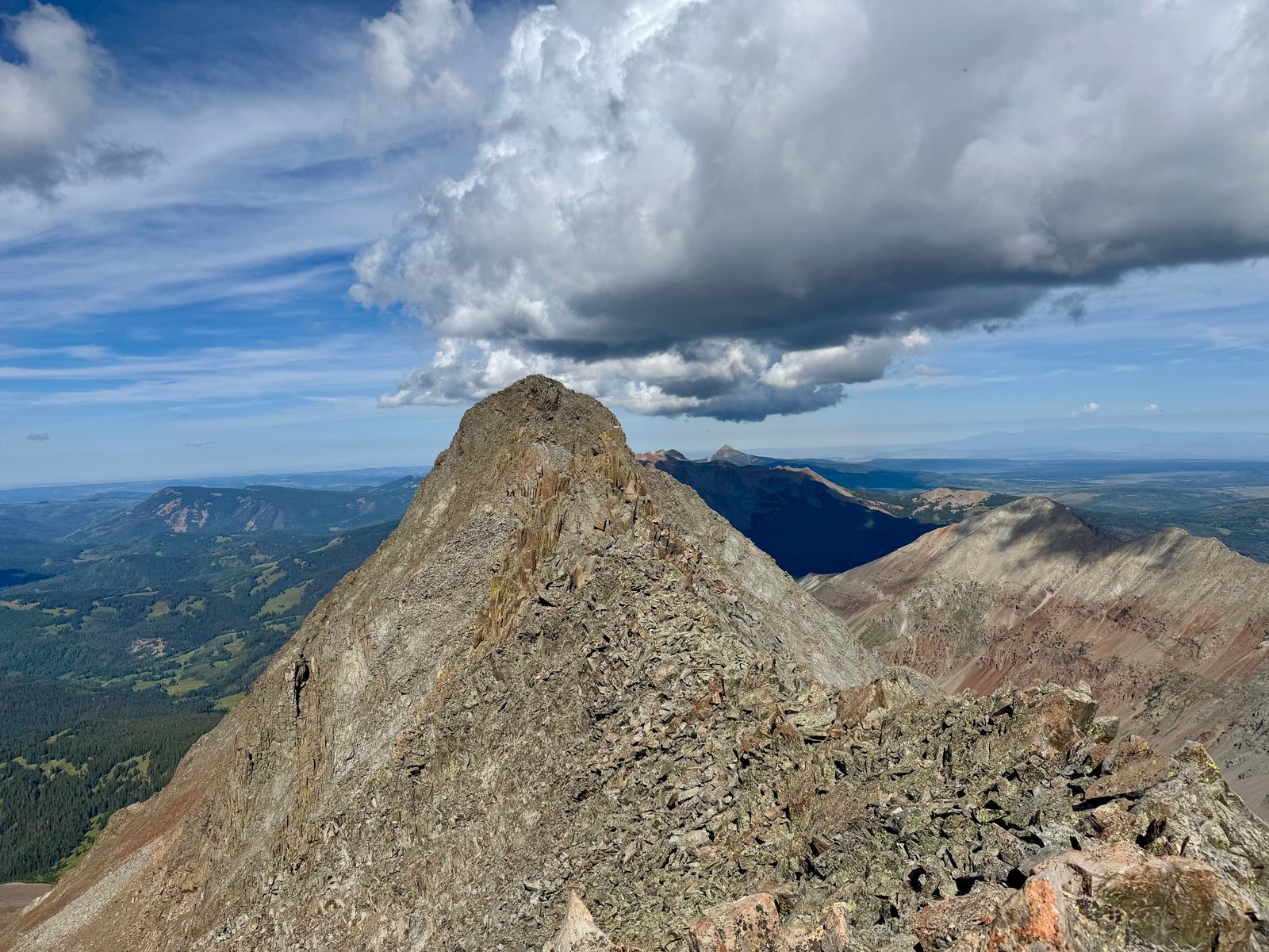
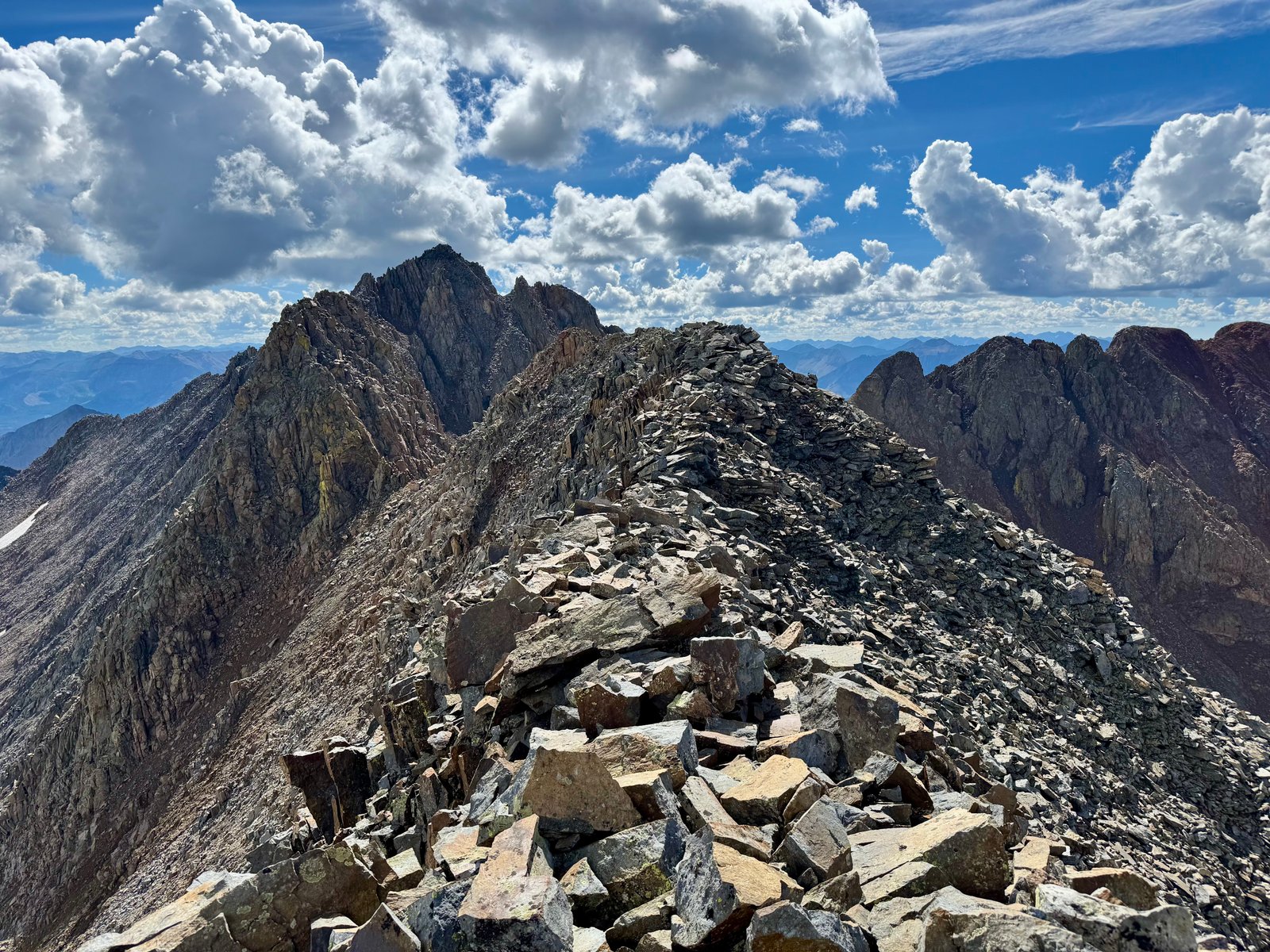
Near the end of the flat stretch of the ridge, it narrows to a couple more fridge blocks that must be scrambled up and over.
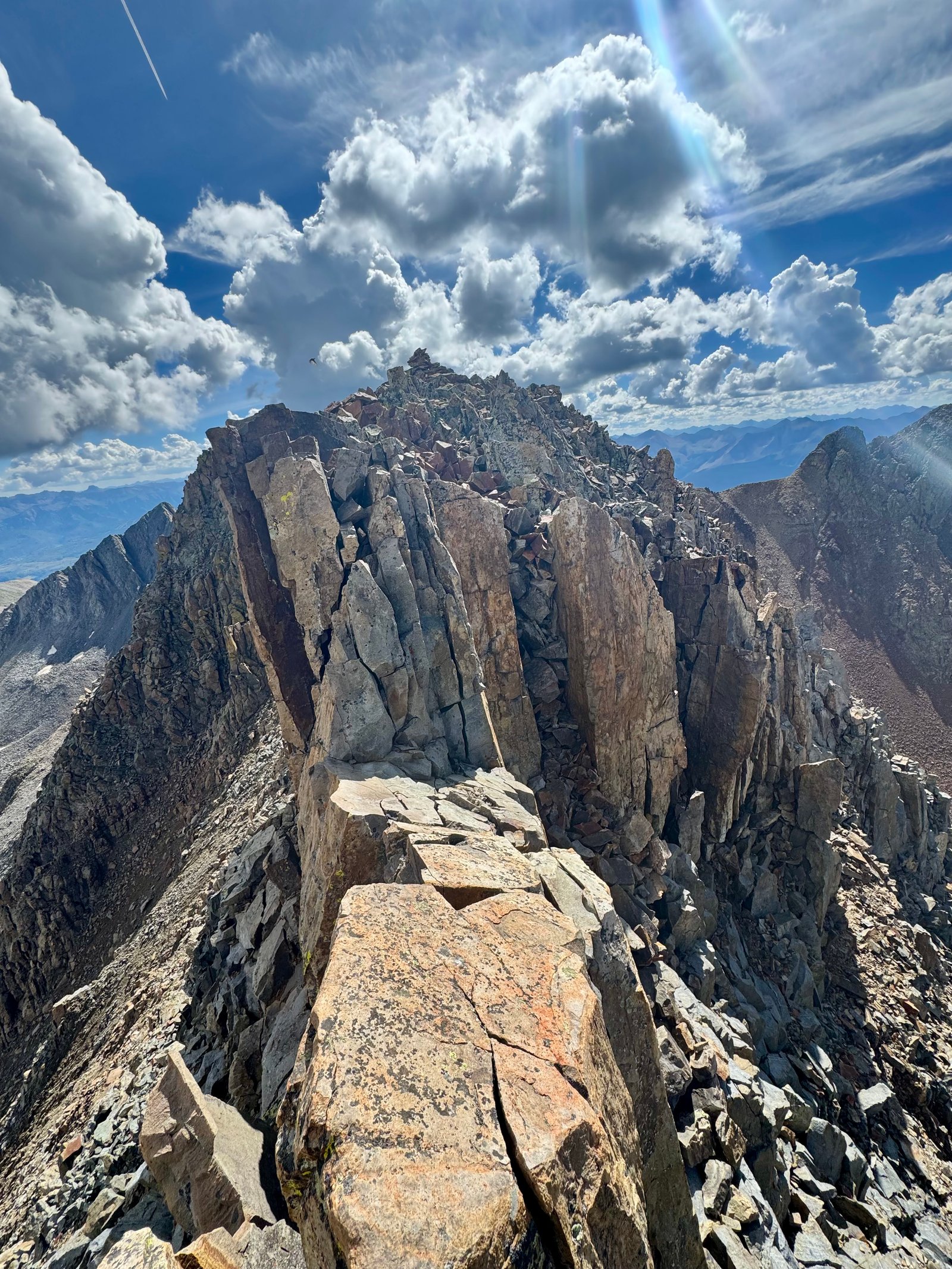
At the end of the sidewalk, the traverse downclimbs to a notch below the crux: a section of steep climbing up a rock wall.
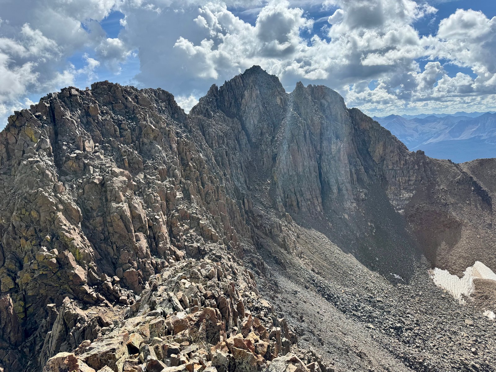
I found this section challenging, mostly due to navigation. The 14ers.com route description (which I was following in the app) mentions twice to stay left here (“Look for ways to shift left toward the ridge crest as you ascend. As the climbing becomes difficult or exposed, take your time and don’t go too far right.”) so I figured going right had to be a worse idea than it looked. But it looked more straightforward than the left side of the rock wall did, especially on the lower half. I took a few minutes just deciding where to start. The general idea in the description seems to be to start a little on the right side of the ridge crest and work left until reaching the top of the ridge from the left, almost wrapping around to the back side. I think that’s roughly what I did but it seemed counterintuitive in a few places and I think was harder than some climbing I passed up to the right. But I was concerned that the description’s emphasis was because the right side didn’t go all the way up and I didn’t want to climb myself into trouble, so I stuck left and eventually made it to the top. I think the whole thing took me almost 20 minutes.
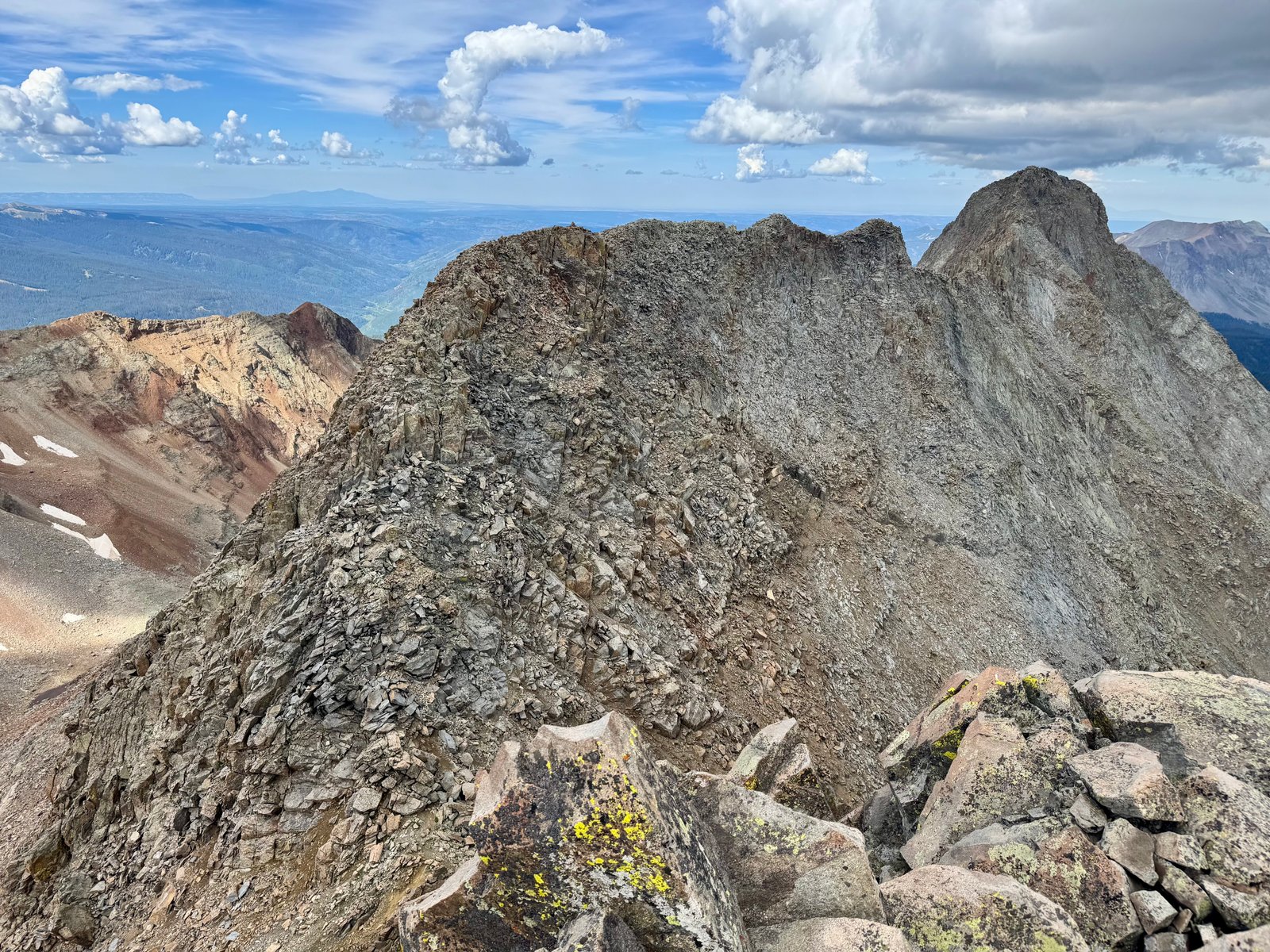
From the top of the crux wall, it was back to traversing the ridge crest, although this section was even more narrow, approaching a knife edge in places, and I crossed several sections in roughly a bear crawl.
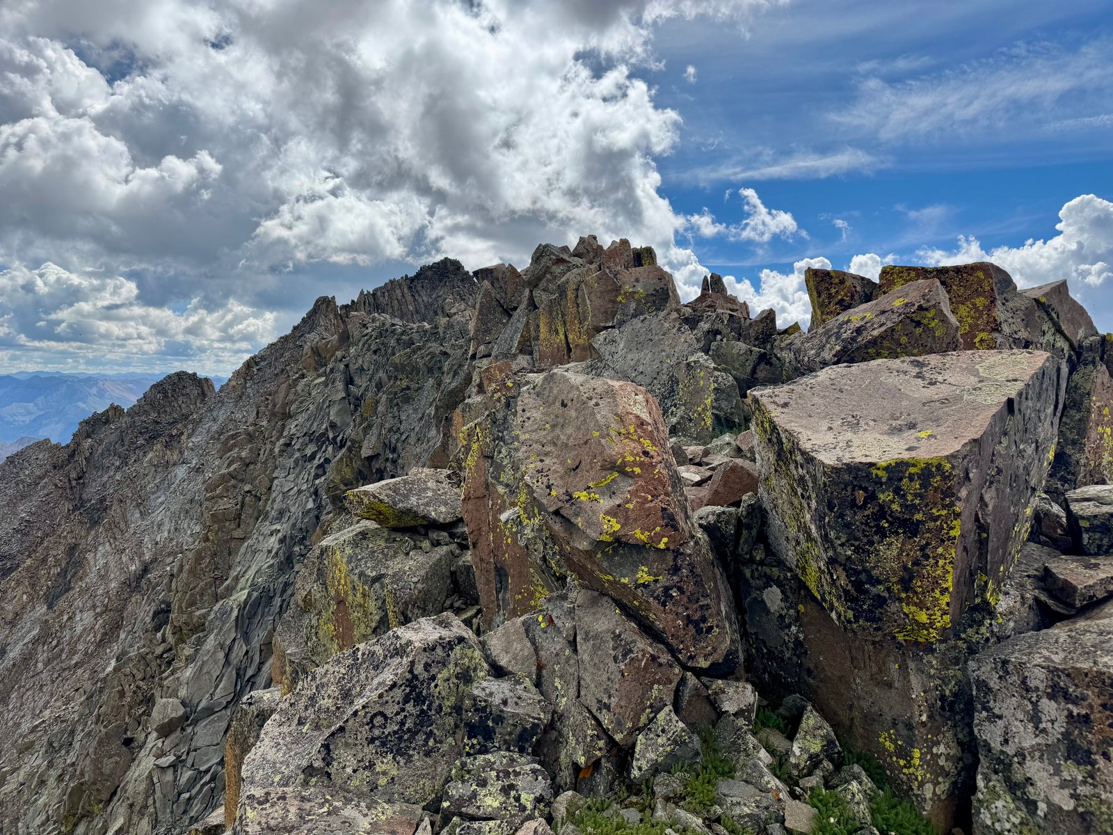
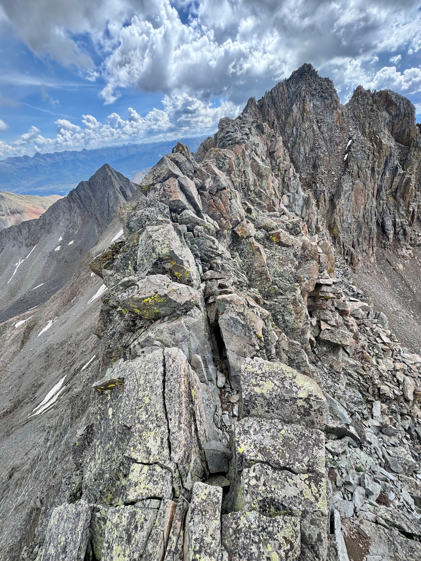
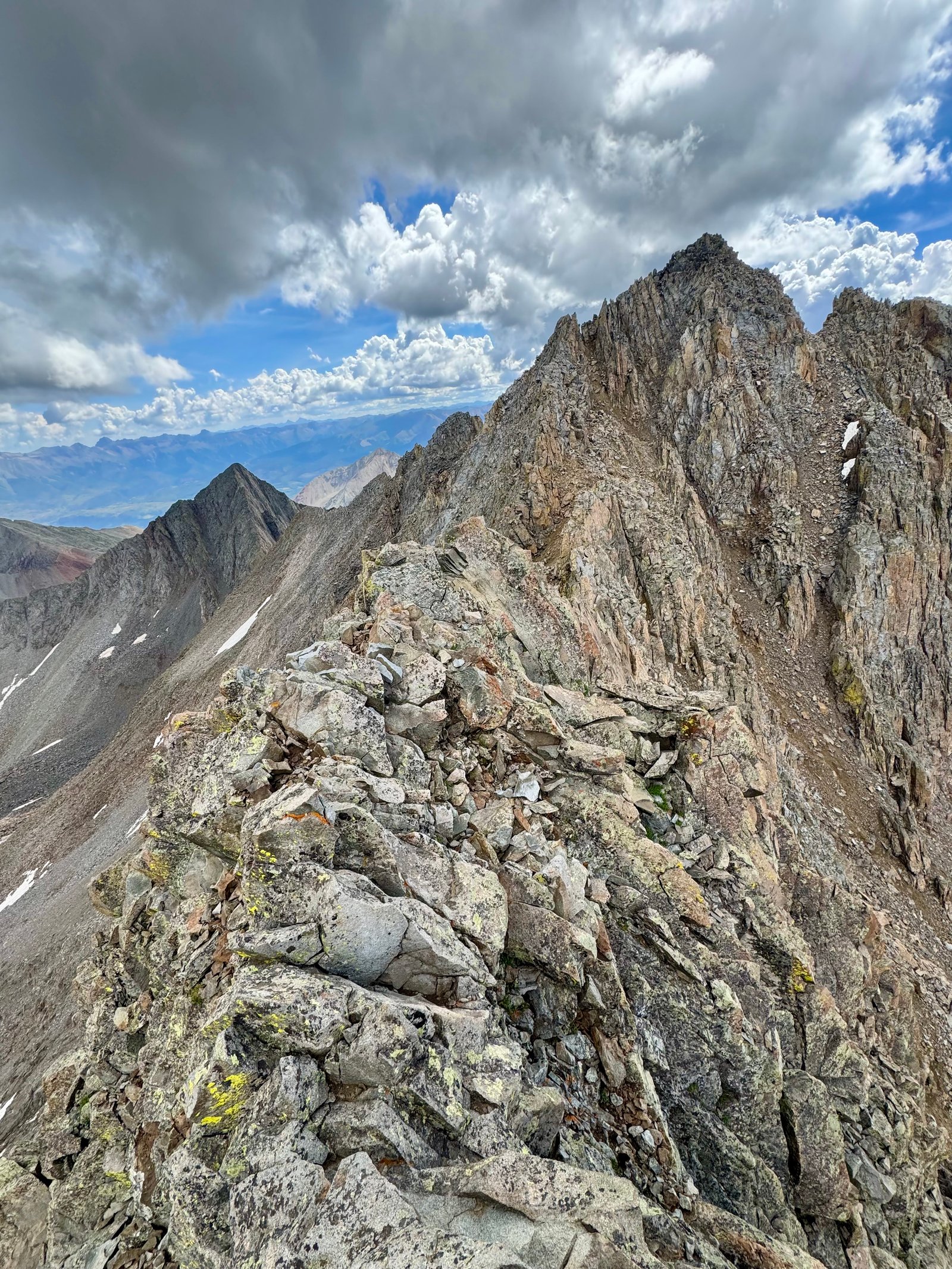
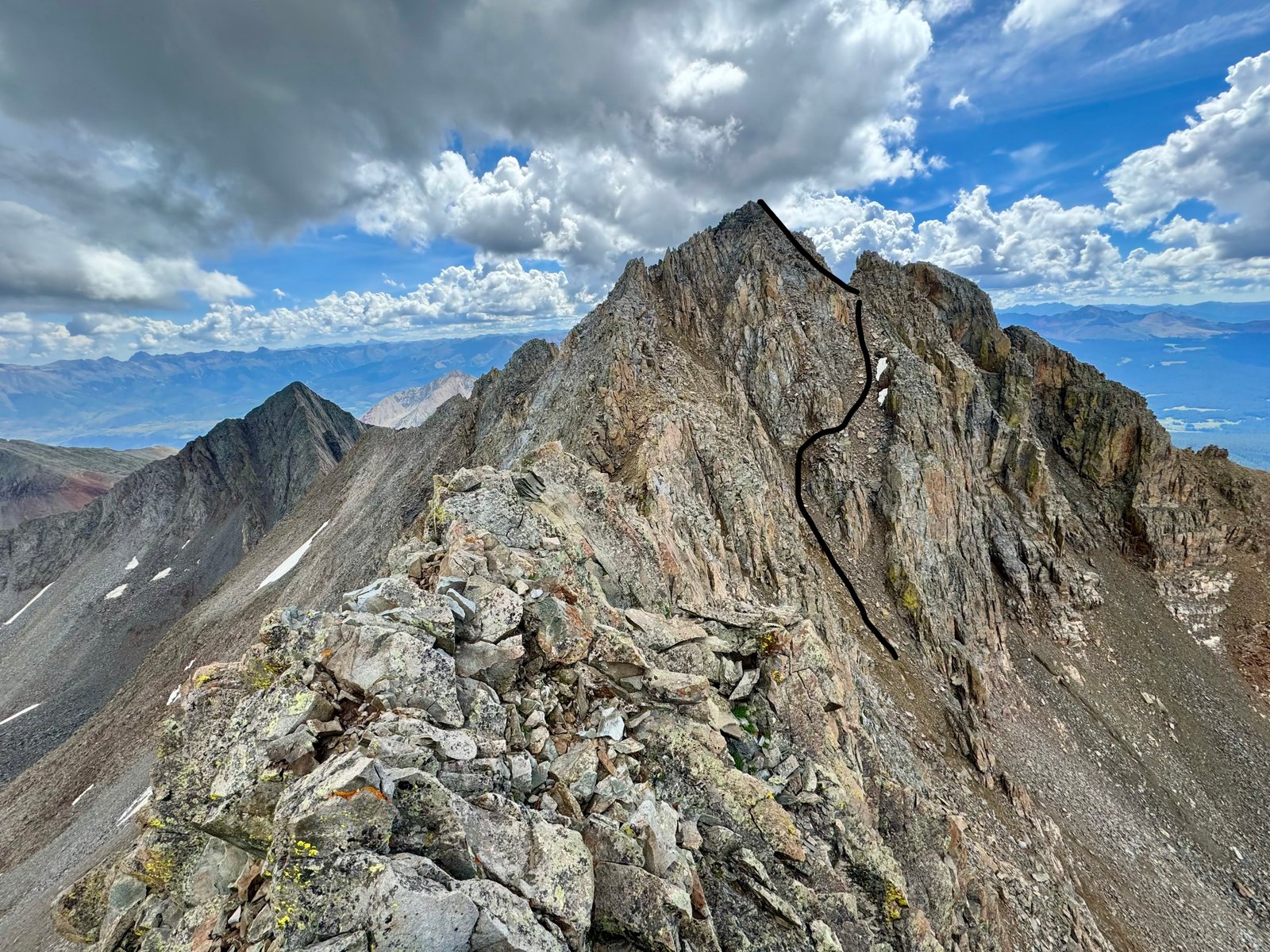
From here, the final sections are in view: continue down the ridge, leaving the crest left to a small saddle, climb back to the summit ridge, and climb to the summit.
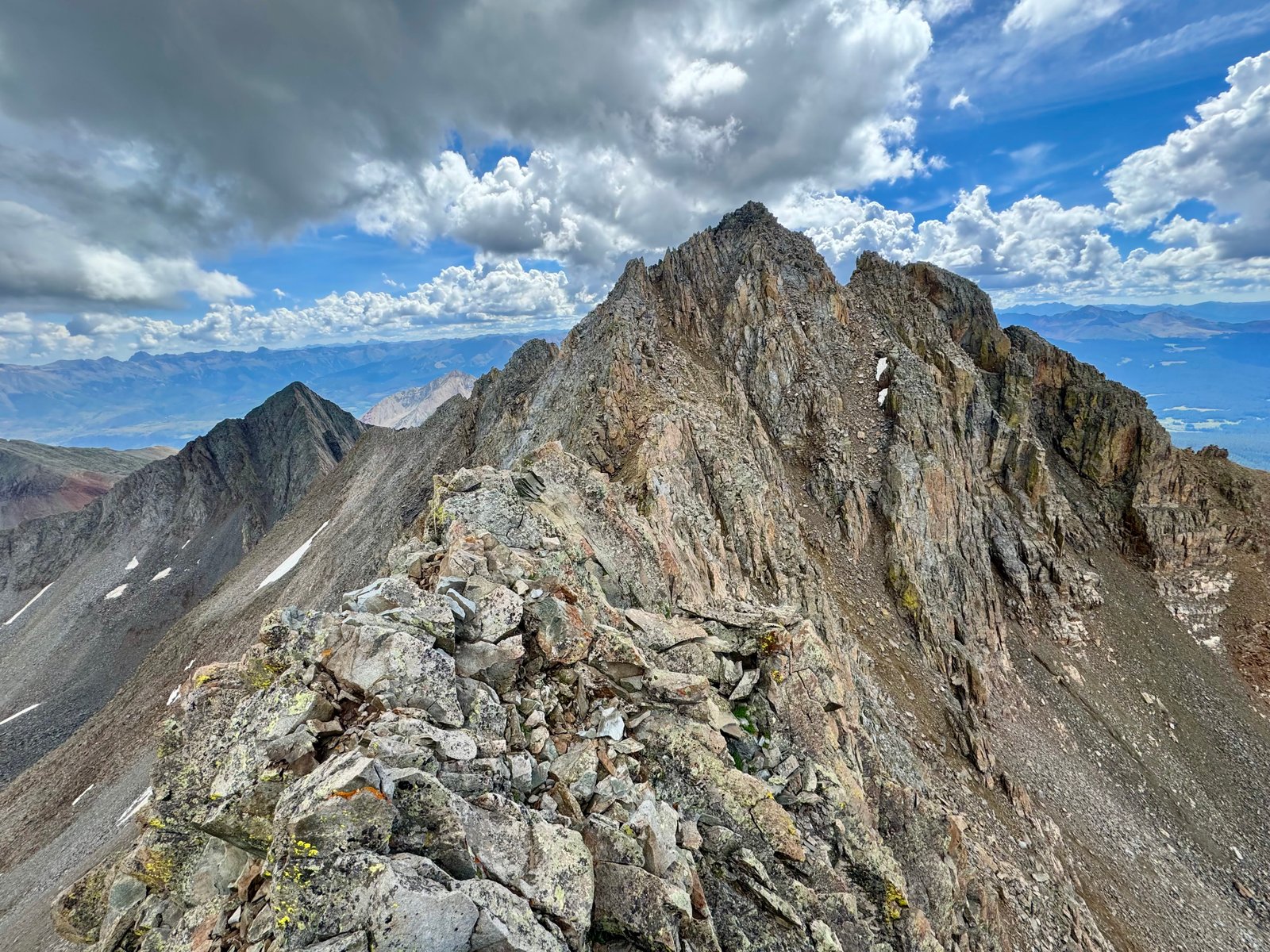
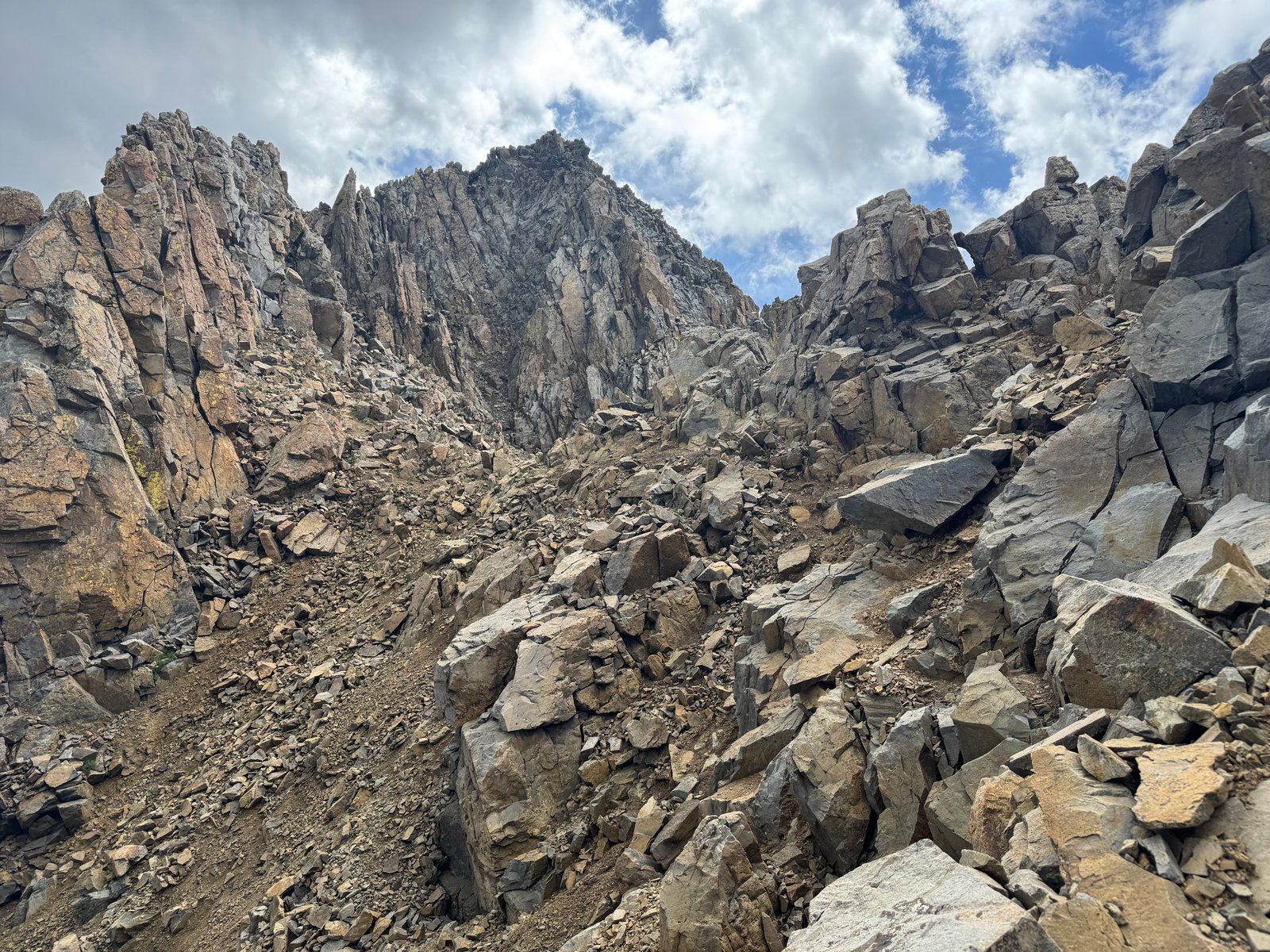
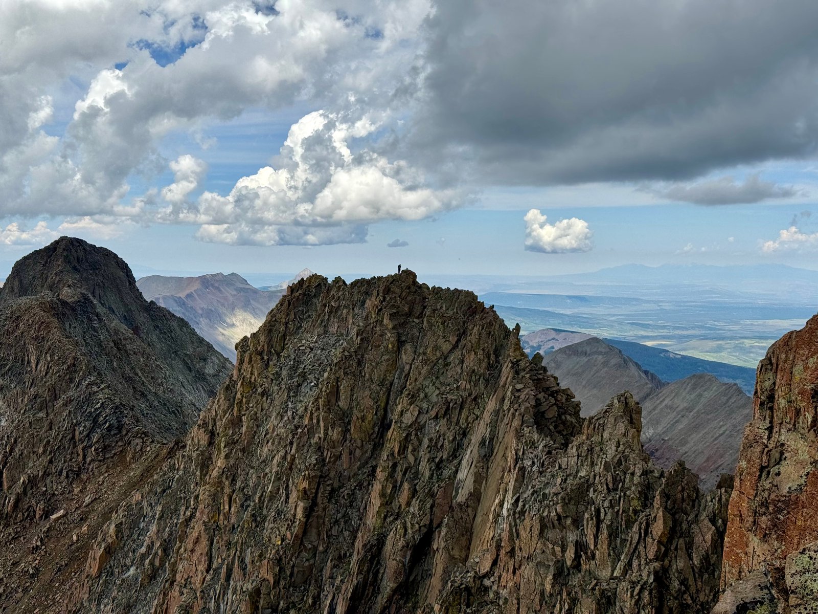
The clouds behind me continued to grow larger and darker on the bottom. I could see another climber further back on the traverse, on top of the first long flat section. I’d passed him around the Organ Pipes as I started the traverse and he went up El Diente; he was probably at least 30 minutes behind me.
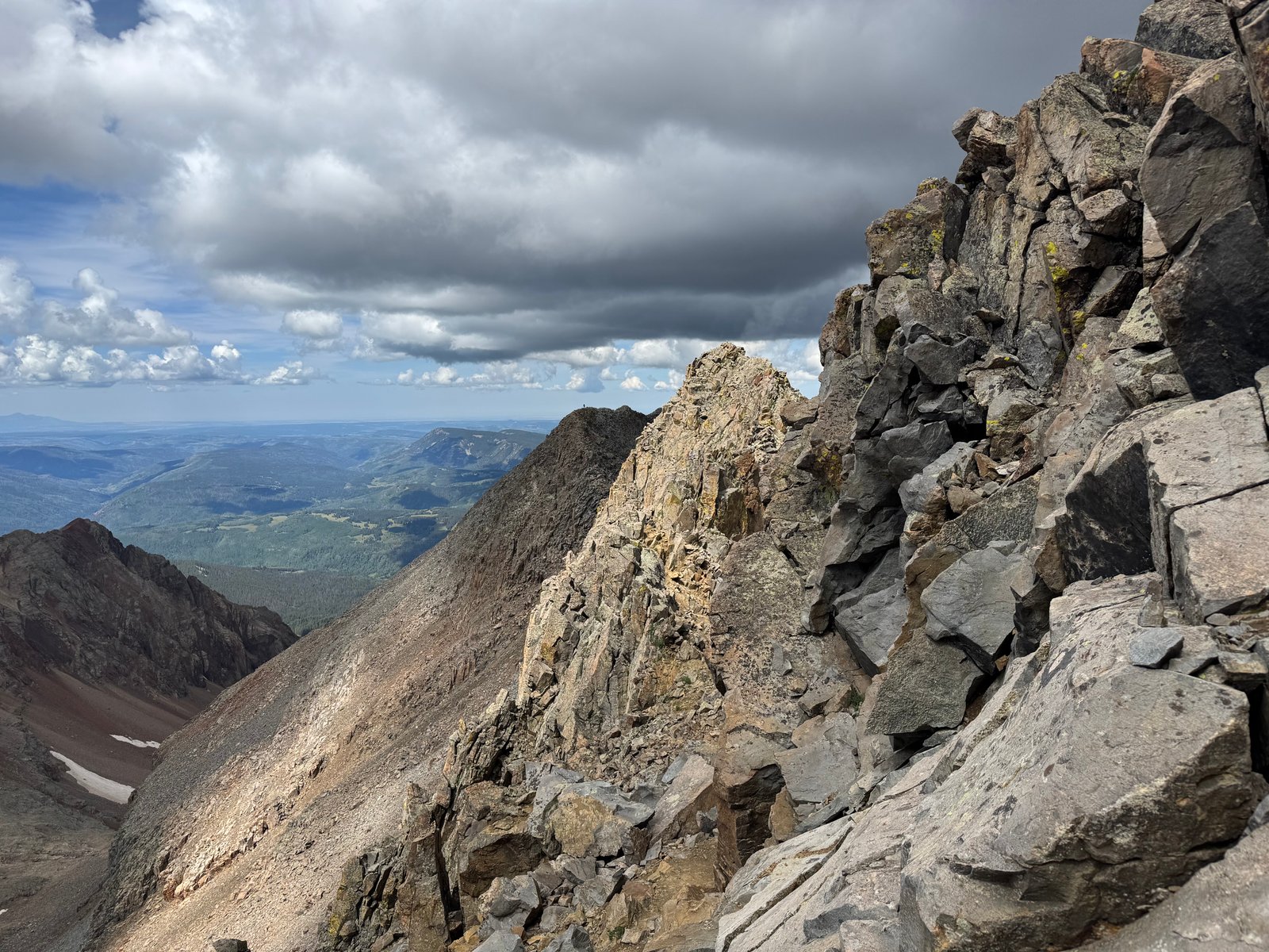
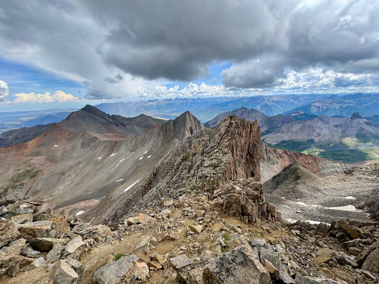
From here, the summit is 100′ of class 4 ridge scrambling away. The final move below the summit is the hardest: one last exposed climb around a refrigerator-sized boulder. The route descriptions generally suggest going either left or right, most favoring left. Neither looked great, in that there was no real way to avoid a fully exposed move selling out on three holds.
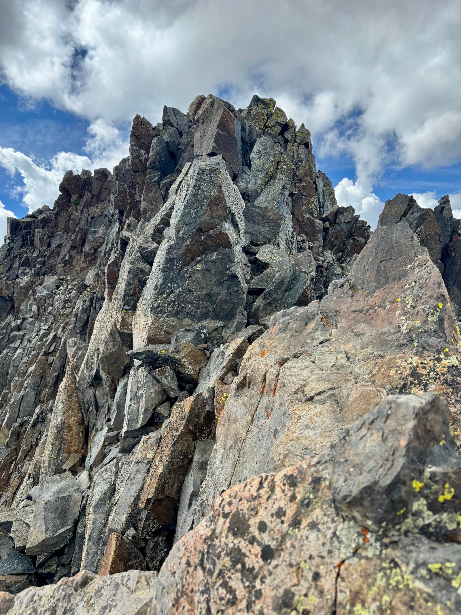
The big obelisk rock above came up to about my chest. Going over it was possible but seemed less practical. Left meant a pretty big move onto a high left foot with high left and right hands and air underneath. I took a few minutes to think about it and then went. I pulled myself over and up and was on the summit at 10:59am, just under two hours peak-to-peak (1h53m).
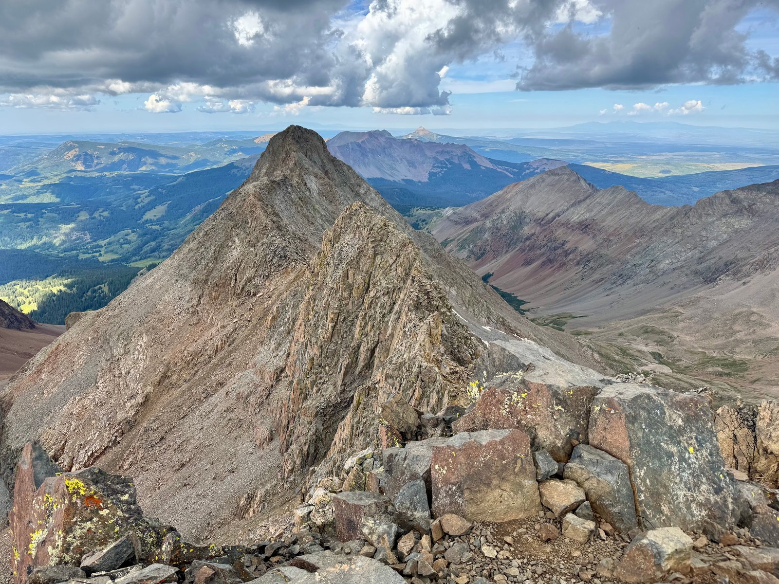
The traverse had been very difficult, more than I had expected. It was complex to navigate in places, the simpler places were still taxing to cross due to loose rock, and there were very exposed non-trivial climbing moves spread across the route. In the moment, I counted up 5 or 6 discrete moves that felt at least as intense as any climbing I’d done before, including Capitol Peak, both Crestones, and the North Ridge of Kit Carson. It took a lot of focus and I was pretty relieved to have reached the summit without the clouds turning into a storm yet.
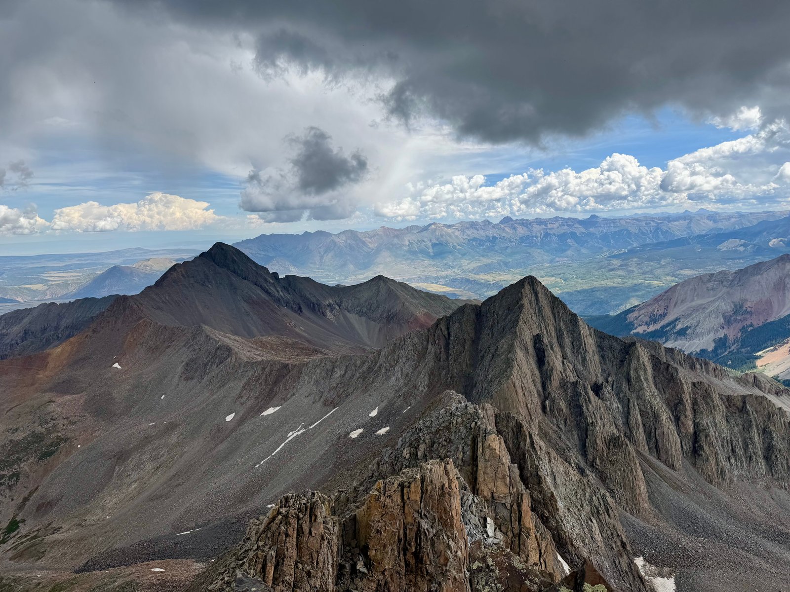
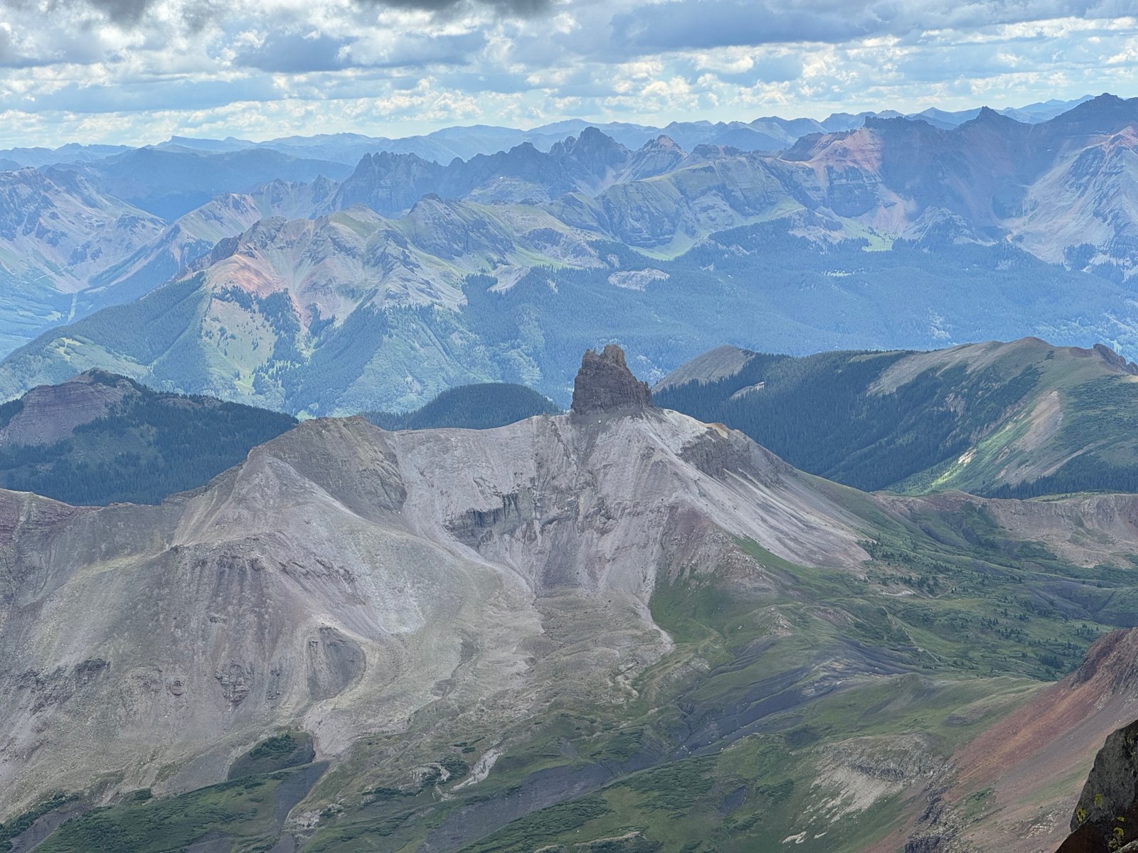
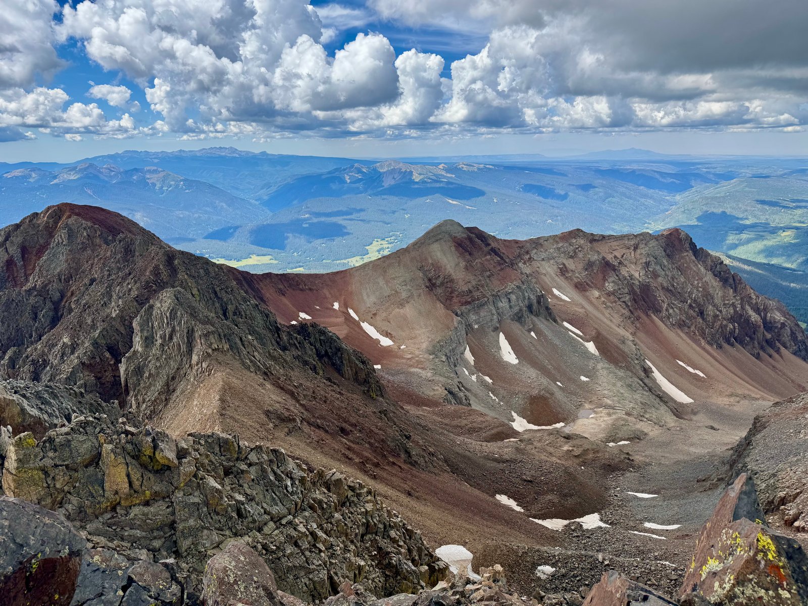
I tried to keep myself from fully relaxing on the summit. I’d always been a little nervous about this descent, since I’d be going down terrain I hadn’t seen come up. But the clouds were telling me it was time to go so I spent less than 5 minutes on Mt. Wilson’s summit.
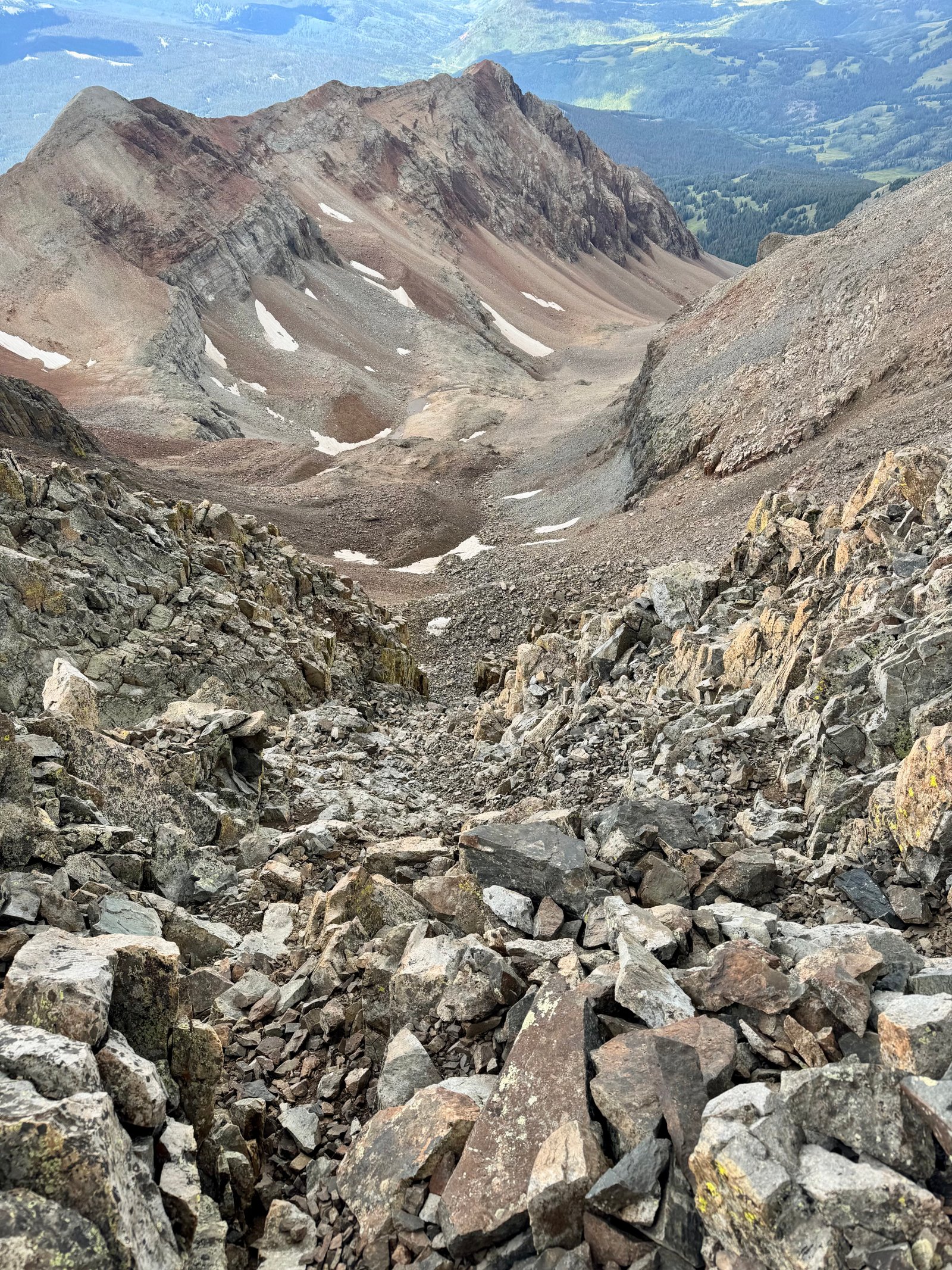
Reversing the southwest slopes route means descending from the summit to a small notch, then down a gully but at some point crossing over the gully to a different one to hiker’s right. Obviously I was on edge to avoid missing the crossover or taking the wrong gully.
From the gully, I could once again see the climber behind me on the second long flat stretch of the ridge.
The crossover in the gully ended up being pretty straightforward but I was pretty pain-staking about checking the it against the route description photos and my map position.
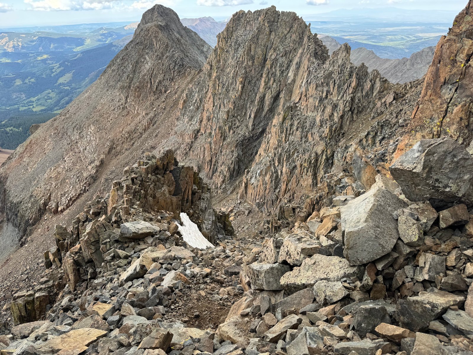
The gully terrain was miserable, before and after the crossover. Maybe it was worse after, or maybe there was just more of it. Loose and steep. It’s possible I cut straight down the talus slope too directly. Several times I sent a little too much of the rock pile below me sliding. I made slow progress in the gullies as usual.
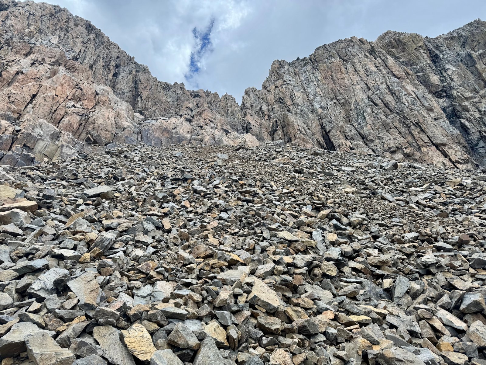
I recall that it was 20 minutes after leaving the summit when I heard the first rumble of thunder and felt the first rain drop. It may have been more like 30. In any case, I was off of the technical terrain, although the talus slopes wouldn’t have been my next choice of wet terrain. But the rain was only intermittent and pretty mild for most of the descent, though it grew more steady towards the end.
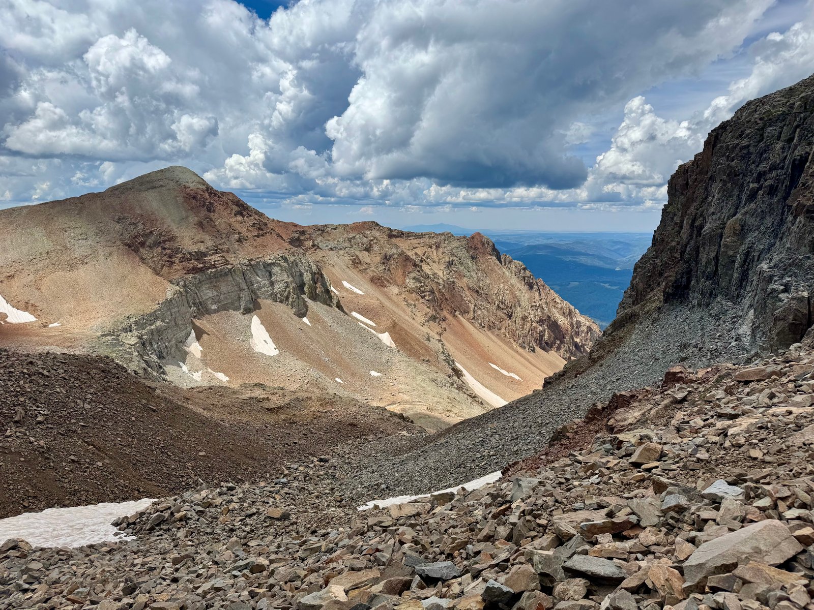
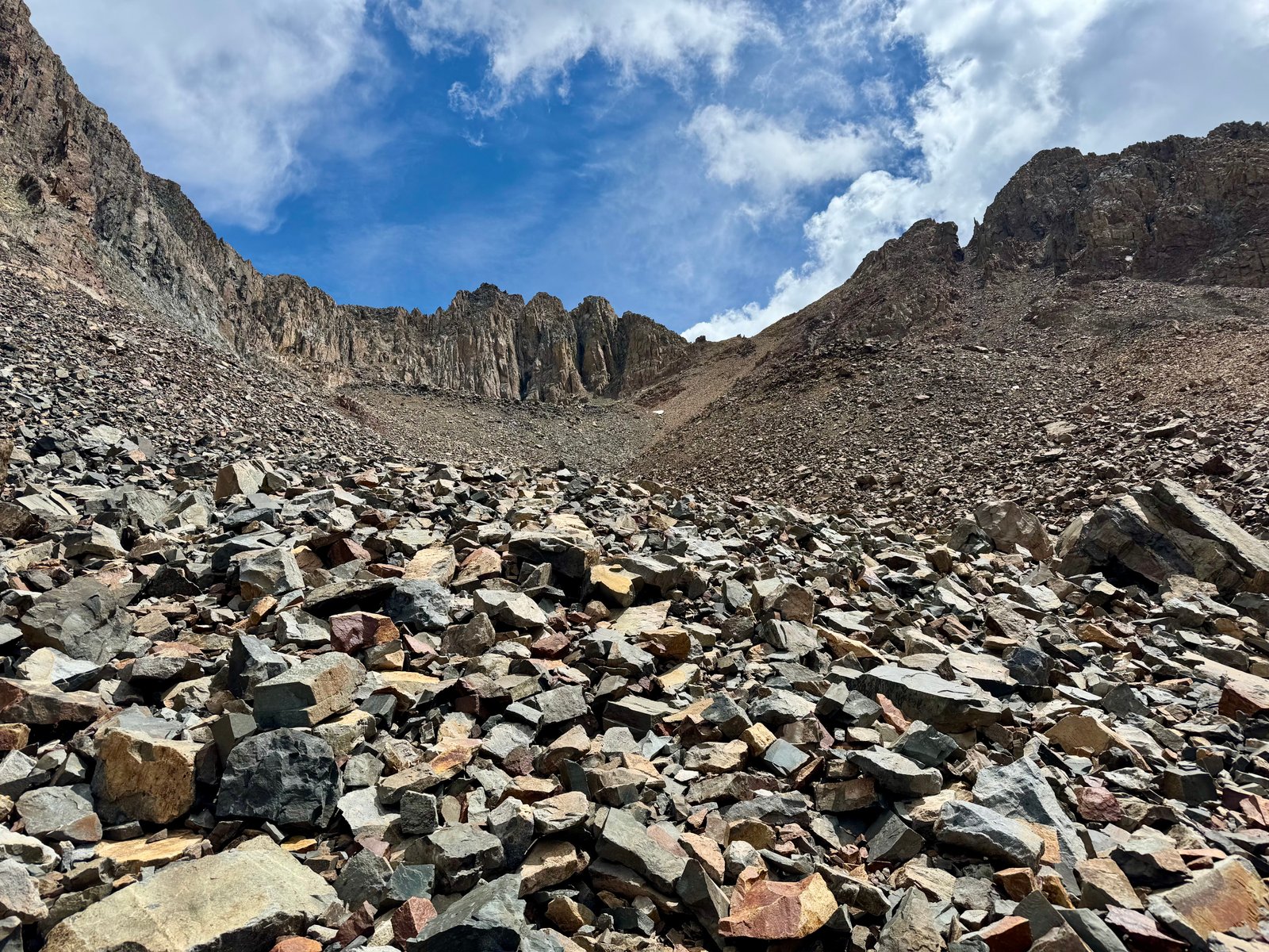
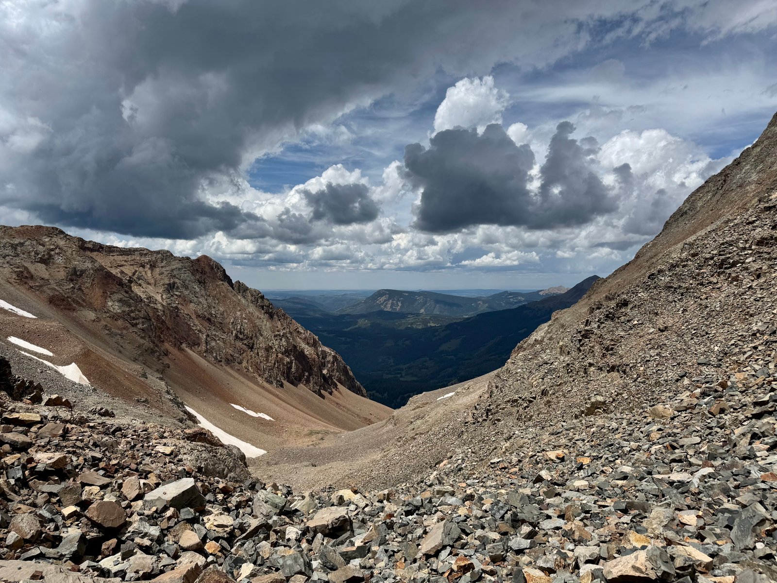
The talus does feel like it goes on forever, both coming and going. After the first sound of thunder, I had “The Wheel” by the Grateful Dead stuck in my head for the rest of the descent. The lyrics felt appropriate for the day:
The wheel is turning and you can’t slow down,
You can’t let go and you can’t hold on,
You can’t go back and you can’t stand still,
If the thunder don’t get you then the lightning will.
The full song is, I think, a metaphor for life—the karmic wheel turning, and so forth. But it works as a song about climbing too because climbing is also a metaphor for life.
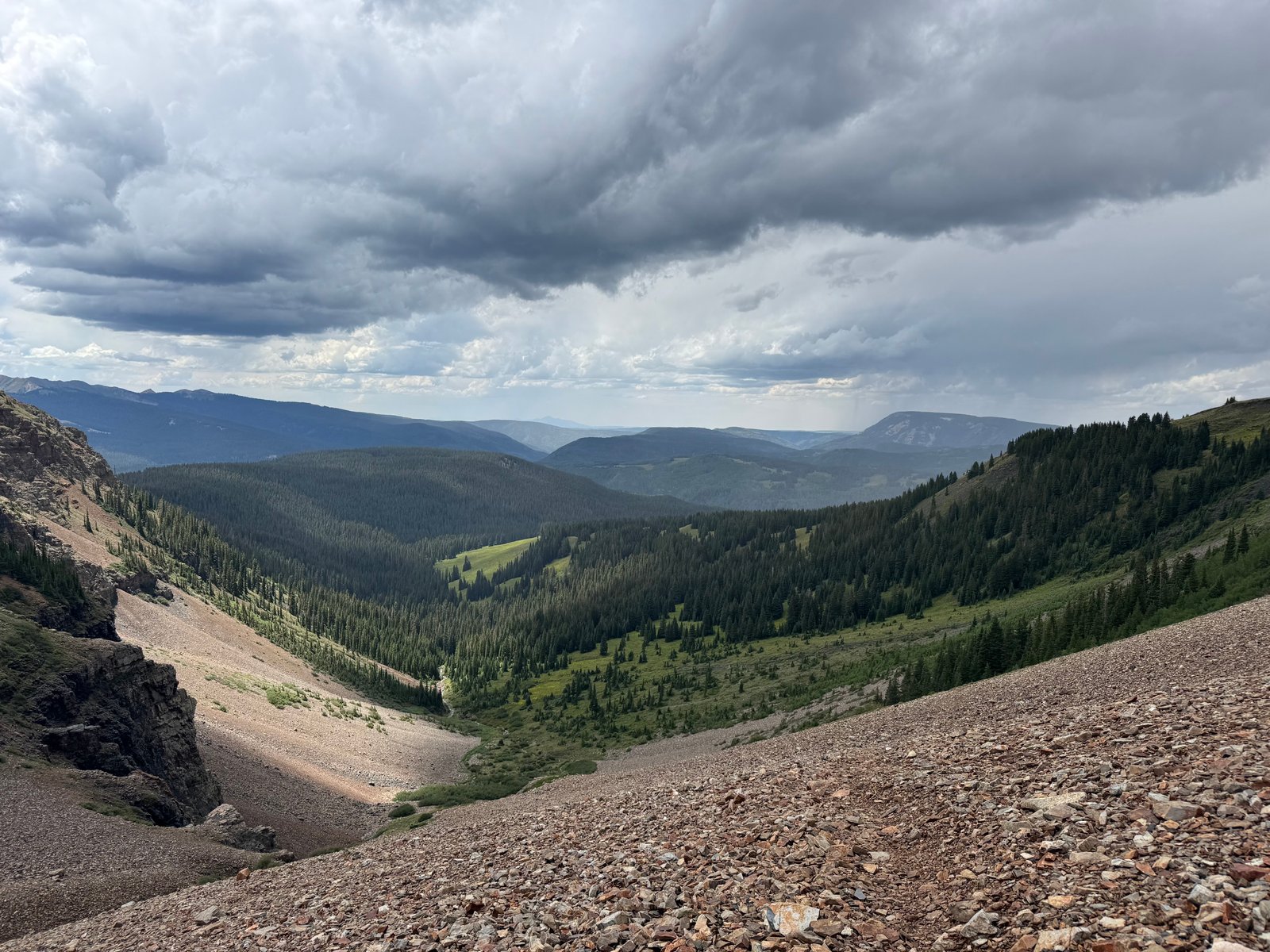
The rain was beginning to pick up as I arrived back in the meadow at 1:30pm. The descent from Mt. Wilson had taken 2h30m.
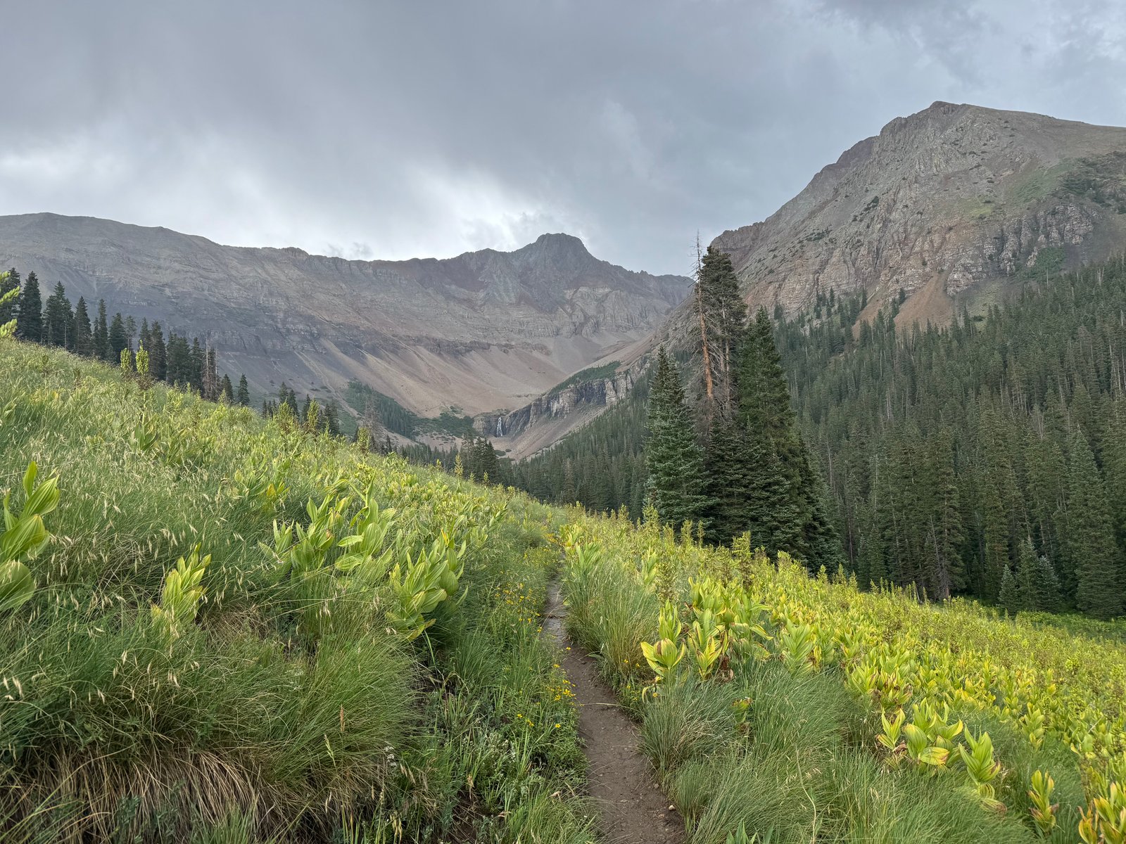
Per the Garmin: 8h52m; 7 mi / 4,570′. I laid out my rain jacket in a spot below a tree that seemed to stay dry and ducked into the tent before I could get too wet. I was still debating whether to pack up and pack out today or whether to stay another night and leave tomorrow. The answer in part depended on whether I was done climbing for the year, which I was pretty sure I was. For the moment, I played every version of “The Wheel” I had downloaded to my phone, which turned out to be five, and dozed through the afternoon rain.
The math I was doing: 30-45 minutes to pack up camp, one hour to hike back to the car; round up to two hours from camp to car; then a two hour drive from the car to Durango. So from the time I might decide to leave, it would be 4 hours to town and a potential hotel room. Past, say, 4 or 5pm, the prospect of a 4 hour journey to a hotel room that I’d be checking into at 8 or 9pm grew less appealing (less use of the room for the same cost), and if I was heading directly home the next day, leaving now wouldn’t actually save me a travel day (and a motel room on the road). As the afternoon passed with me still laying in the tent while the rain slowly died out and I thought about packing up a wet rainfly, I decided to save myself the cost of a hotel room for the night and begin the trip home the next day. Even with a 2 hour trek to the car first thing, I could still make enough progress to have a sub-12 hour driving day the day after. I spent the evening reading and eating the rest of the food in my backpack (at this point, Cliff Bars and fruit snacks). I went to bed at dark as usual, just after 9pm.
Wednesday, July 29
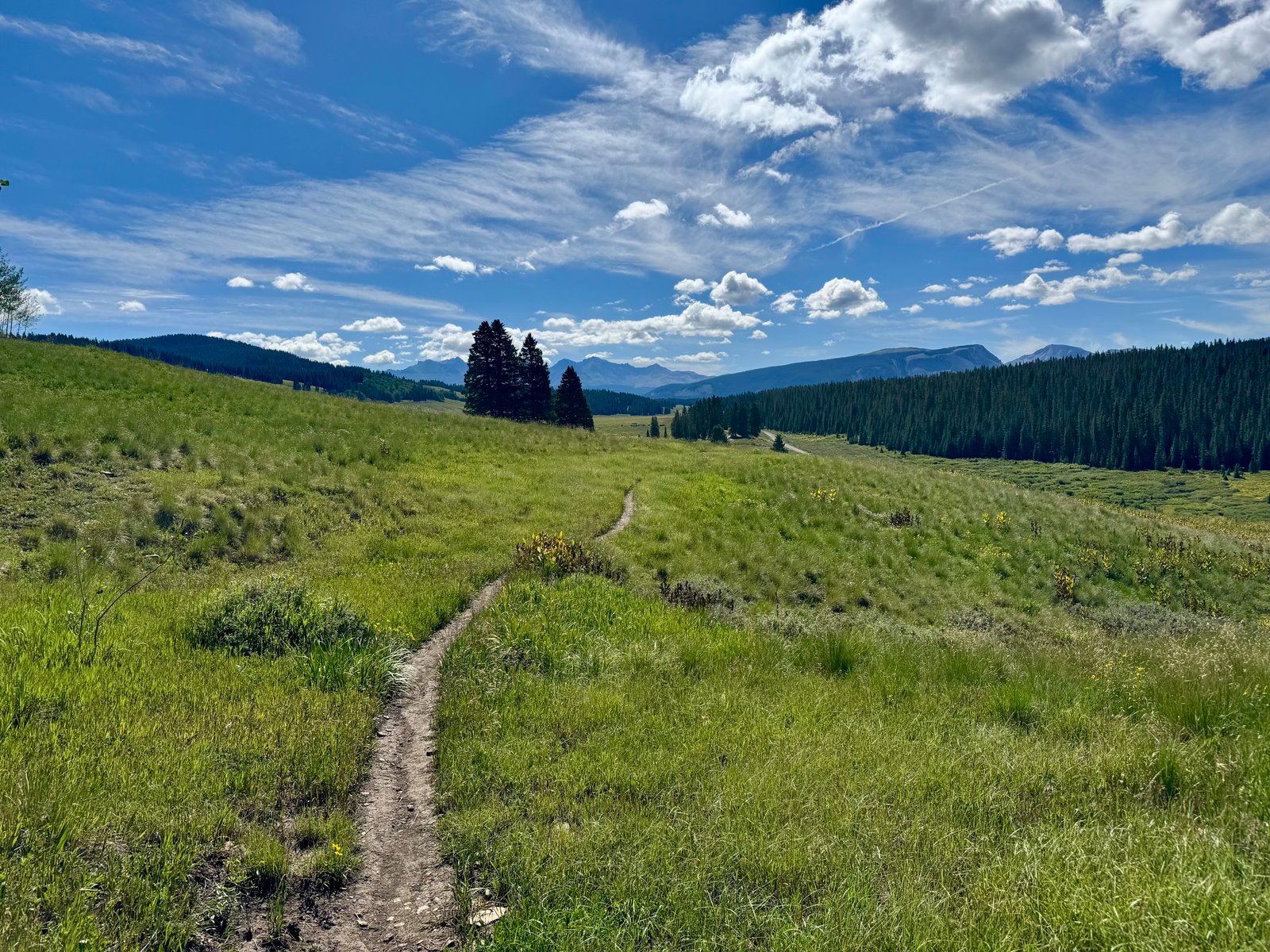
I let myself sleep in til 7am. I was able to mostly dry out the tent’s rainfly and groundsheet by laying them in the sun while I dealt with the rest of camp. I was packed up and on the trail by 9:20am. The Kilpacker trail is scenic and pleasant, without much in the way of elevation gain or loss. It’s a worthwhile hike (only 6 mi / 800′) from the trailhead just to the meadow to see the waterfall and El Diente, and I gave some directions to a couple I met dayhiking. They had no packs and one small water bottle between the two of them but one of them had thought to strap a pistol to his chest. I guess if they got lost they could shoot their way out.
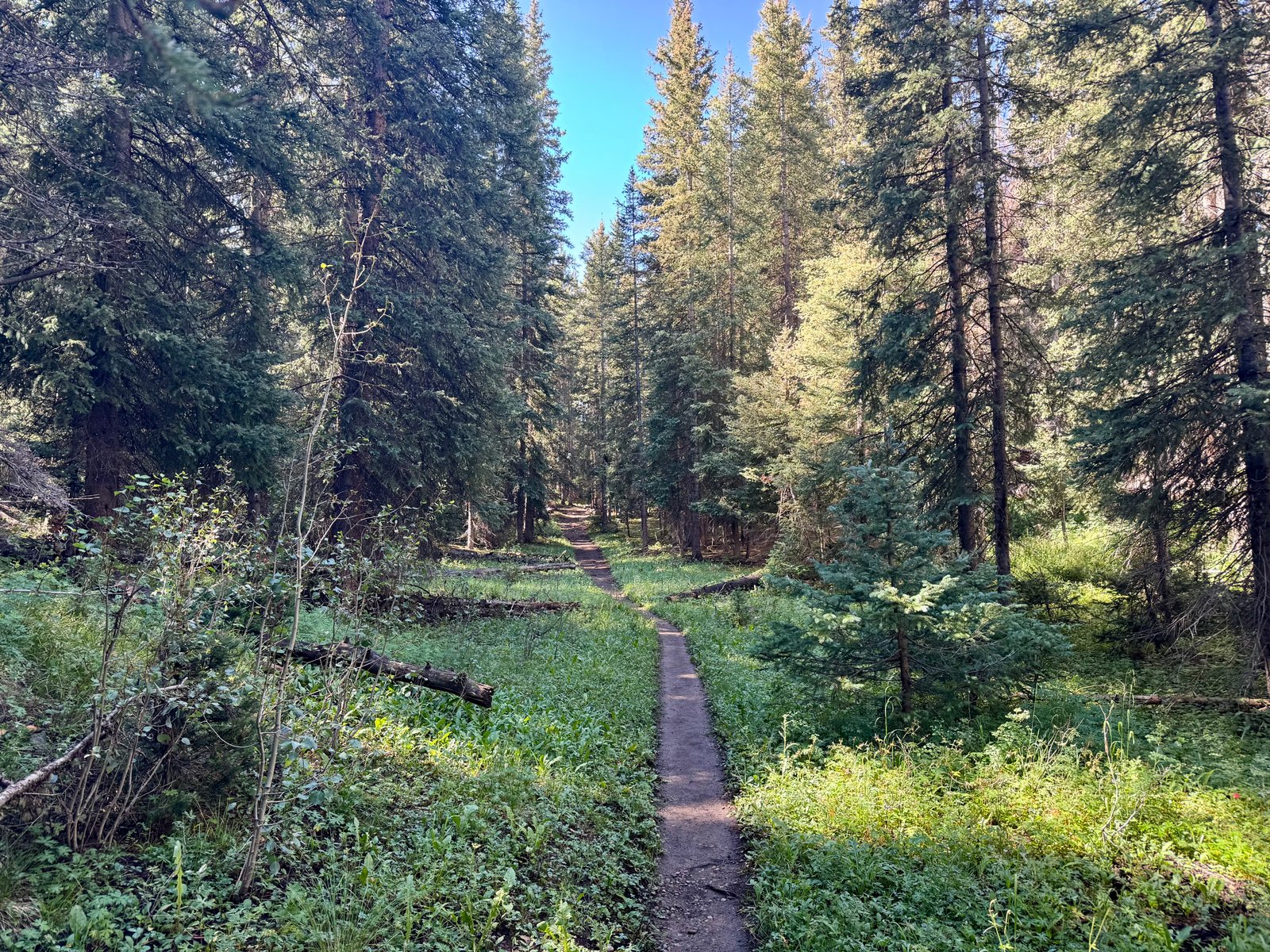
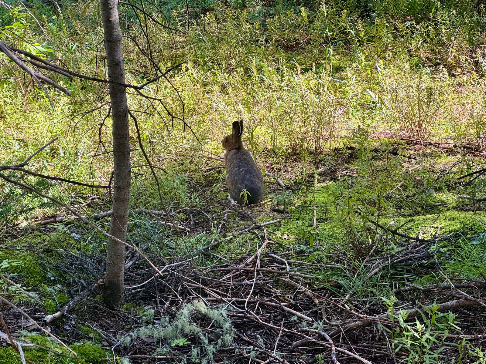
Out of habit, I made good time and finished the 3 mile hike to the car in an hour.
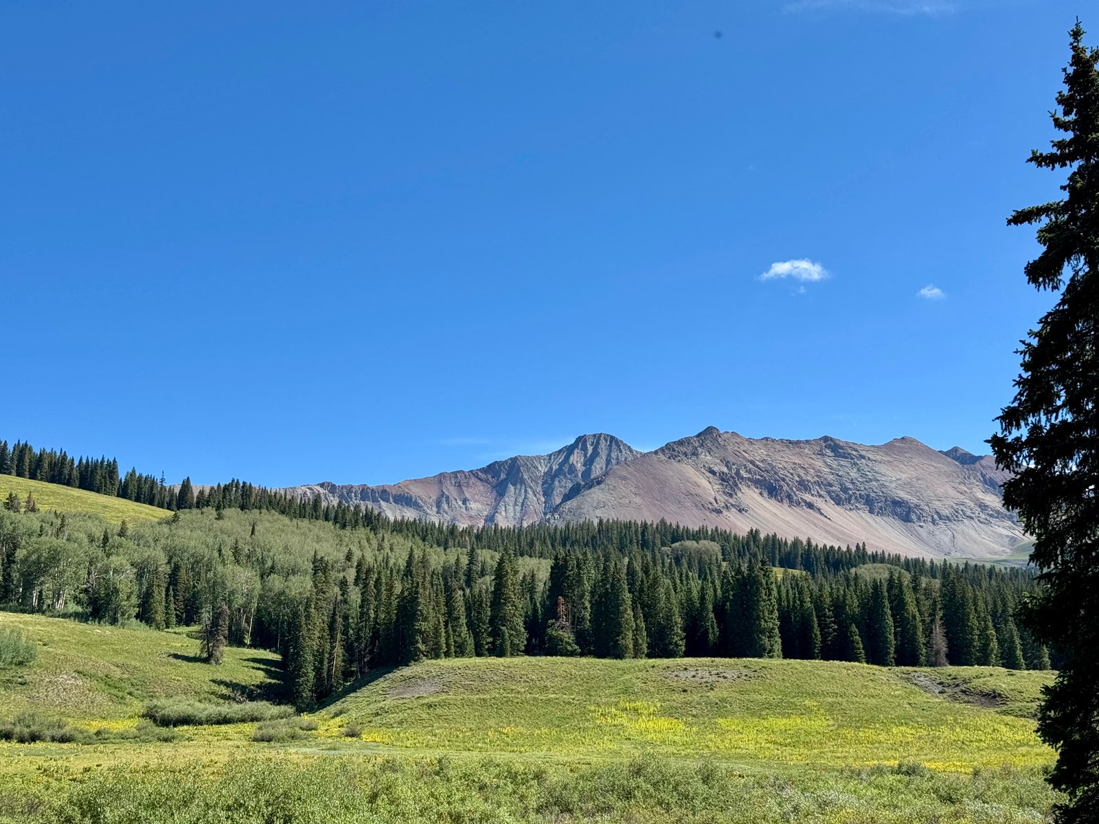
An hour into the two-hour drive to Durango, near Dolores, the Subaru’s oil light came on, which seems to happen just about every long road trip despite my best efforts. The first gas station didn’t have the preferred engine oil but the light was off when I fired it back up, so I kept going. The light would come back on again after leaving Durango and I bought the “acceptable backup oil” type from the next gas station, added half a quart, and the light stayed off for the remainder. Back in Durango, I housed a burger and was compelled to explain my three-beverage system to the bartender (a hydration drink, a caffeine drink, and a wild card drink; here, that was water, coffee, and the marijuana terpenes-infused (but THC/CBD-free!) sparkling water. It tasted like a pleasantly-herby sparkling water). I self-consciously finished all three of my beverages and got back on the road home. I felt like I maybe had one more hike in me but I waived it in favor of getting home a day earlier.
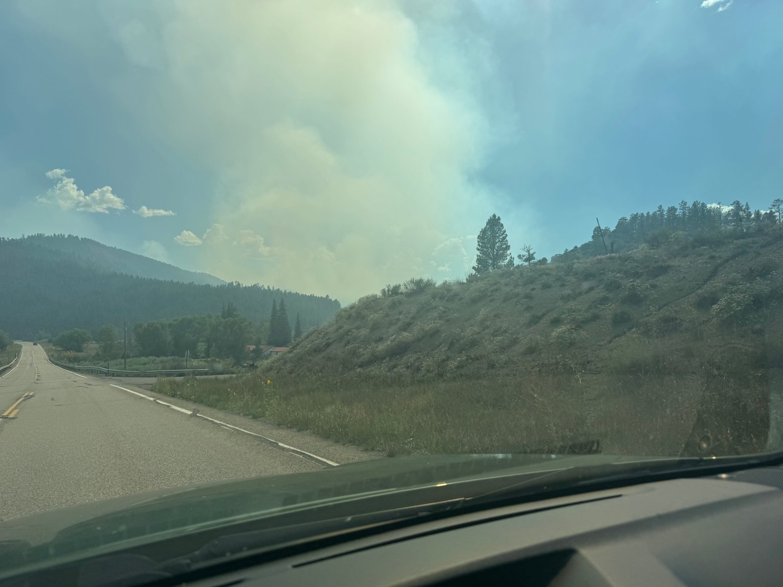
Outside Pagaosa Springs, near the New Mexico border, I saw yet another smoke plume.
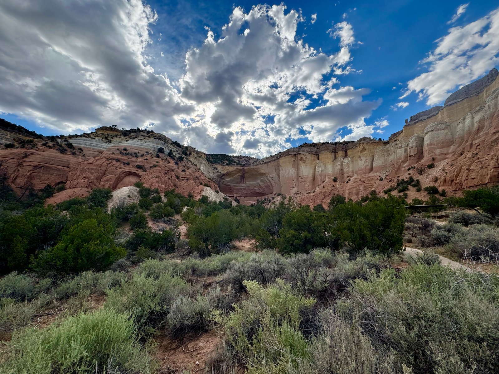
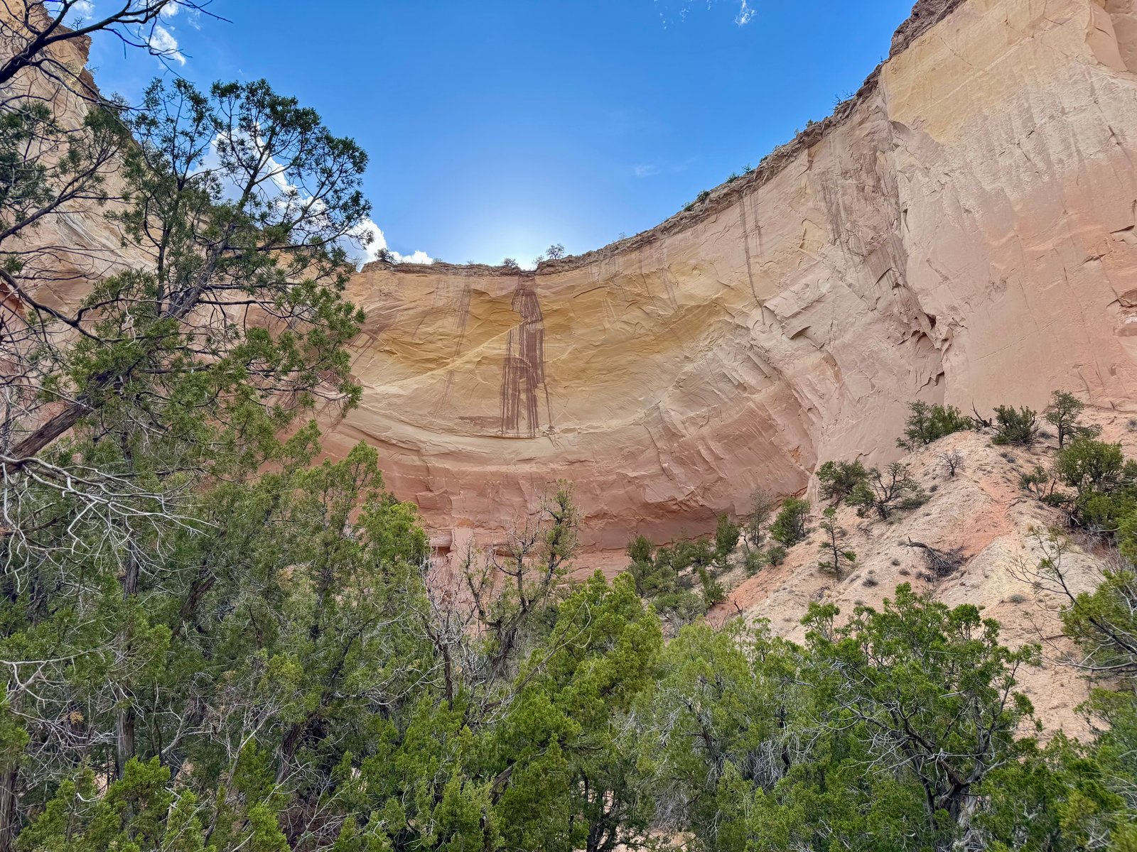
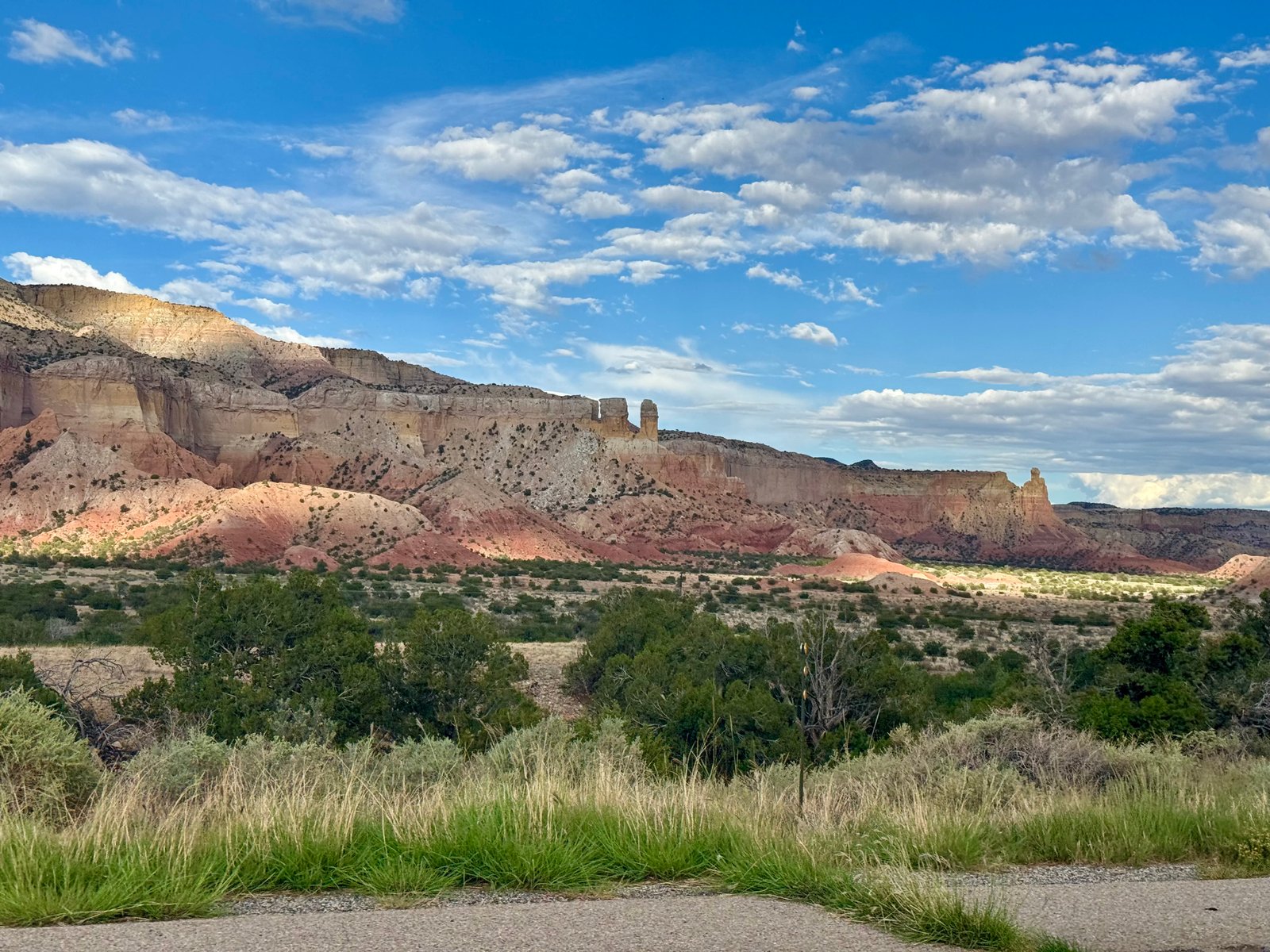
I don’t often have an excuse to go this way, but the drive between Pagosa Springs and Santa Fe/Albuquerque, NM (on Hwy 84/64) is really worth finding an excuse for. It goes past the west edge of Carson National Forest and there are plenty of memorable rock formations especially on the New Mexico side. One is the Echo Amphitheater, which was closed last time I drove up this way. I was driving past around 5:30pm and this time I stopped off and was glad I did.
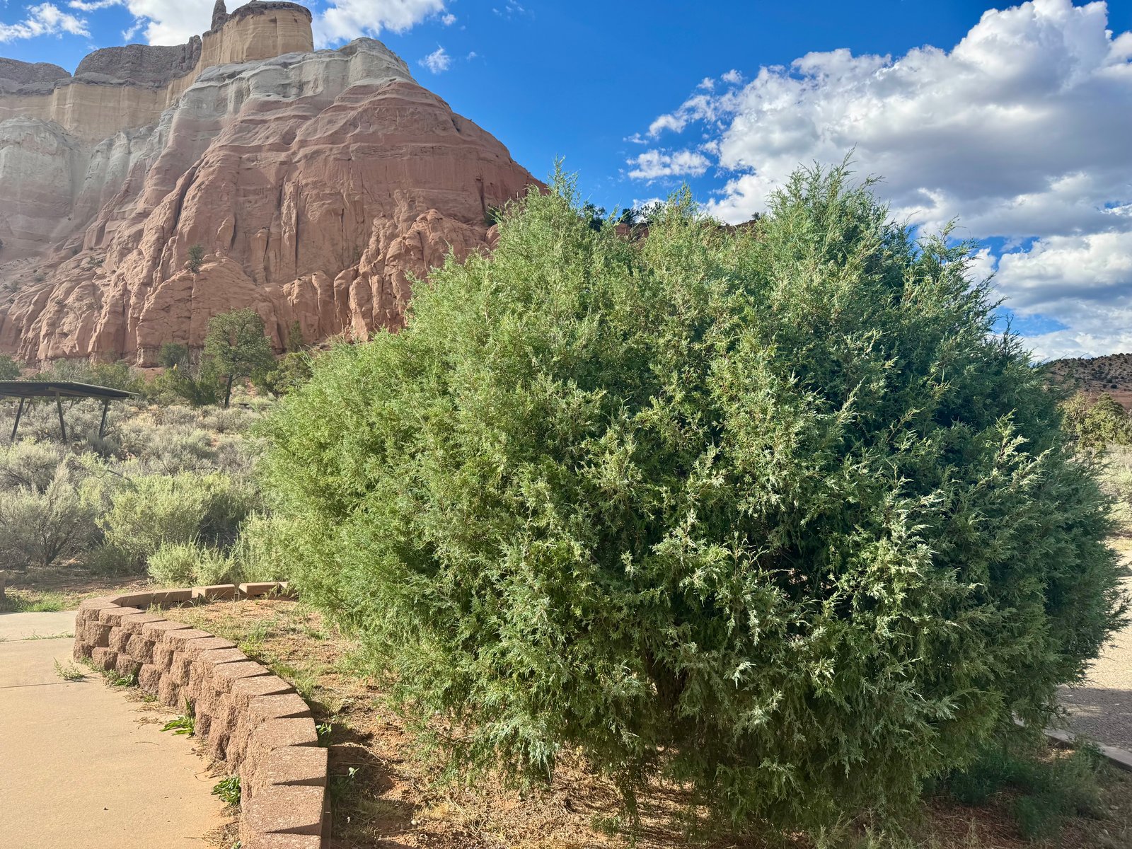
One of the informational placards about local vegetation and wildlife mentioned juniper and I made sure to send Emily a picture of our cat’s namesake.
It was after 8pm by the time I got to Santa Fe. I had intended to go a little further today but after eating dinner and staring at the driving route on my phone, I decided it didn’t make sense to go any further tonight and grabbed a motel room. It was another 12 hour drive home the next day, which passed uneventfully. My trip meter clocked in a 2,890 miles, about 400 more than last year.
I was worried that I was underprepared for this year’s trip. For one reason or another, it kind of snuck up on me. But now in year 5 of doing these annual trips, a lot of the past prep work carries over each time. The El Diente-Wilson traverse is a good example. I’d been studying that route for years, and I still wasn’t quite ready for it (except, of course, I was). Another three months of staring at the route description wouldn’t have changed anything.
38/58 feels pretty good. I’m finding out that the back half is harder to plan for than the first half. There’s fewer mountains to choose from, and they’re all the ones that I put off climbing til later. Eventually I’m going to have to brave the crowds of the Front Range, the reservation system of the Maroon Bells parking lot, and the long hot walk up Lake Como Road. If the thunder don’t get you then the lightning will.
To see the photos from this post in a scrollable gallery, click here.
The wheel is turning and you can’t slow down,
You can’t let go and you can’t hold on,
You can’t go back and you can’t stand still,
If the thunder don’t get you then the lightning will.
Won’t you try just a little bit harder,
Couldn’t you try just a little bit more?
Won’t you try just a little bit harder,
Couldn’t you try just a little bit more?
Round, round robin run round, got to get back to where you belong,
Little bit harder, just a little bit more,
A little bit further than you gone before.
The wheel is turning and you can’t slow down,
You can’t let go and you can’t hold on,
You can’t go back and you can’t stand still,
If the thunder don’t get you then the lightning will.
Small wheel turn by the fire and rod,
Big wheel turn by the grace of God,
Every time that wheel turn ’round,
Bound to cover just a little more ground.
The wheel is turning and you can’t slow down,
You can’t let go and you can’t hold on,
You can’t go back and you can’t stand still,
If the thunder don’t get you then the lightning will.
Won’t you try just a little bit harder,
Couldn’t you try just a little bit more?
Won’t you try just a little bit harder,
Couldn’t you try just a little bit more?