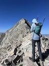
Ten Peaks in Ten Days: Maff in Colorado in 2025
Coming into the year, my tally for climbing Colorado’s 14,000 peaks stood at 21 out of 58. Last year’s trip had been a massive success in terms of quality, with four summits: a warmup hike up Humboldt, the iconic class 3 Crestone Peak, a class 3+ alternate route on Snowmass that avoided the 20+ mile standard route, and the class 4 Capitol Peak, arguably the hardest 14er.1 Climbing these three challenging peaks gave me a lot of confidence that finishing the list was within my capabilities. But a total of just four for the year meant that I still had a long way to go in terms of quantity.
So this year I hoped to blend the two approaches by picking off some low-hanging fruit to juice the numbers (acclimation hikes on Sherman and the DeCaLiBron), then looking for good weather days to finally tackle some of the bigger projects I’d been eying (extended, exposed class 4 climbing on Kit Carson’s North Ridge, the more difficult of the Crestones, Crestone Needle, and the first foray into the Four Great Traverses, the El Diente-Wilson Traverse).2 The timing didn’t work up to link up with climbing partners from last year so I would be solo this time.
Saturday, July 19
I left Austin in the late morning and drove a full 600 miles before finally escaping Texas in the northwest corner of the panhandle, arriving in Raton, New Mexico around sunset. From there, it would be a 3.5 hour drive to Fairplay in central Colorado the next day, north over Raton Pass on I-25. The highlight of the day came outside Lubbock as I put on a new-to-me debut record by a Texas band called Shallowater and then saw a sign for Shallowater, Texas. This is what passed for excitement in northwest Texas.
Sunday, July 20
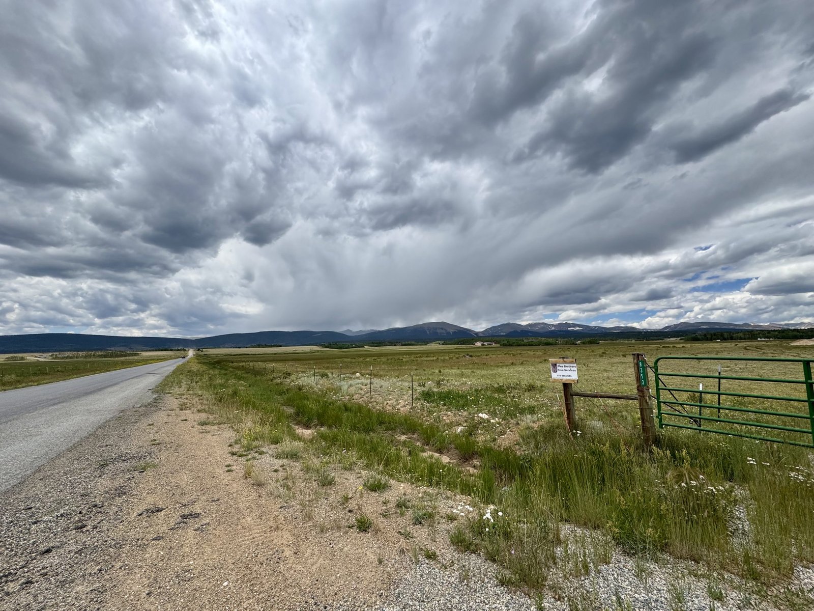
Usually when I’m entering Colorado I get off I-25 just north of Walsenburg and take CO 69 northwest through Westcliffe, which gives you a good view of the Sangre de Cristo mountains to your west. About an hour from Fairplay, I stopped for a hitchhiker who looked like he was doing some backpacking as well. He turned out to be a thru-hiker from Austin and was hitching his way north to join friends in (I believe) Montana, where he planned to hike some portion of the Continental Divide Trail (I think). He was very pleasant and the remaining hour to Fairplay passed quickly. I dropped him off in town where he headed towards Alma and I headed to lunch and then the Mount Sherman trailhead (Fourmile Creek) just southwest of town.
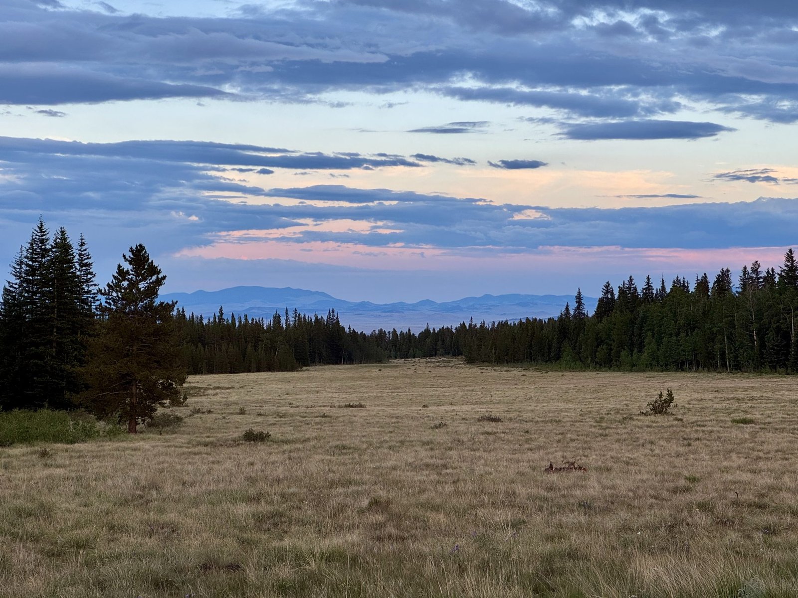
There are two paid USFS campgrounds on the road to Fourmile Creek but I realized as I stopped to check them out that my cash on hand consisted of a $100 bill and $13 in small bills, neither of which would buy me just one night of camping ($24). Thanks to some spot research over lunch, I found a spot to camp next to a large meadow in nearby Thompson Park, where I set up shop for the day. The Thompson Park road connects to the Fourmile Creek road but I walked the remainder of the road that afternoon and decided it was rough enough that it would be more convenient to go the long way back out and around in the morning instead. Despite the popularity of nearby Mt. Sherman, I had this area to myself. I spent the evening reading Jon Krakauer’s Eiger Dreams, a collection of his early-career mountaineering essays and articles and went to bed just after sunset, around 8:20PM.
Monday, July 21: #22 Mt. Sherman (14,043)
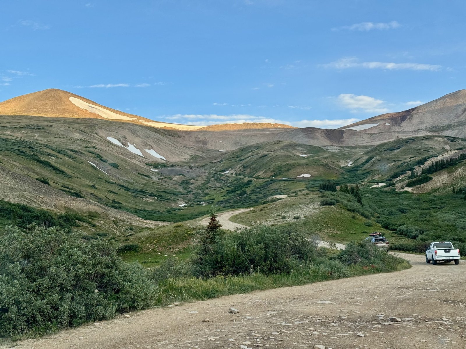
There are no easy 14ers but Mt. Sherman is among the easier 14ers. The standard route trailhead sits at nearly 12,000′ and the class 1 trail up the southwest ridge to the summit is relatively short and straightforward. These factors and its location (90 minutes from Breckenridge) also make it among the more popular 14ers, and for my purposes, a good candidate for an acclimation hike. I started up the trail at 6:45 AM, a late start by 14er standards.
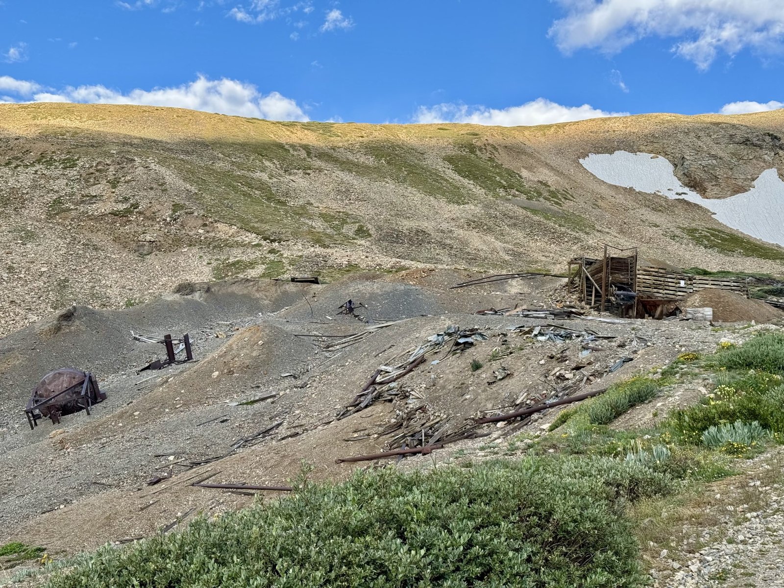
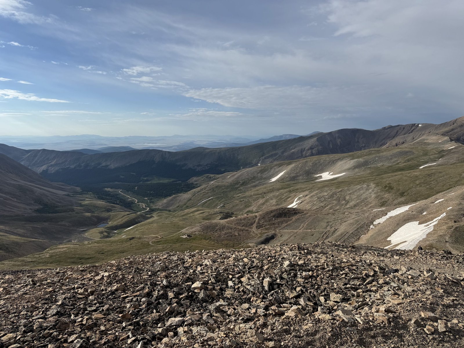
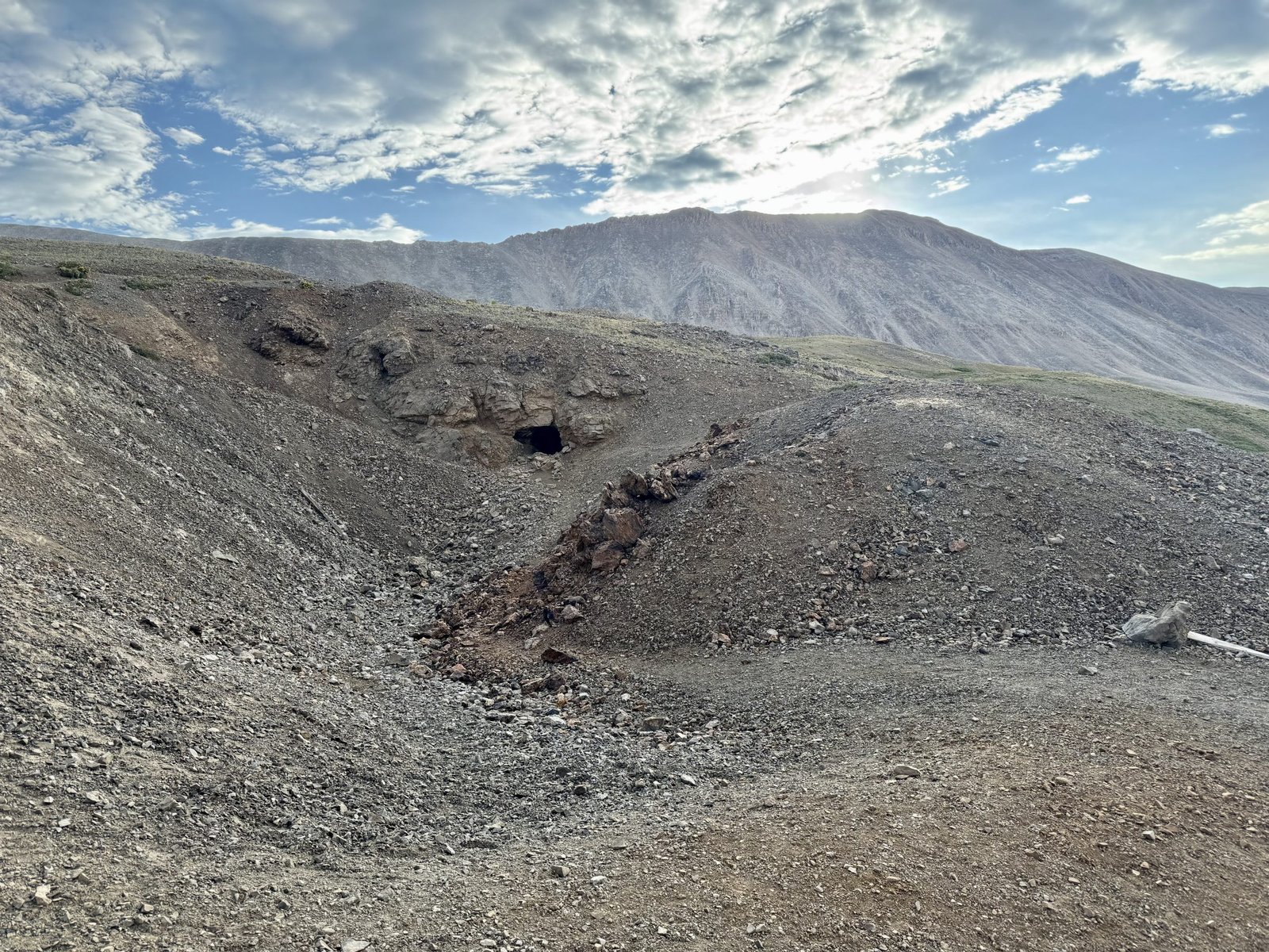
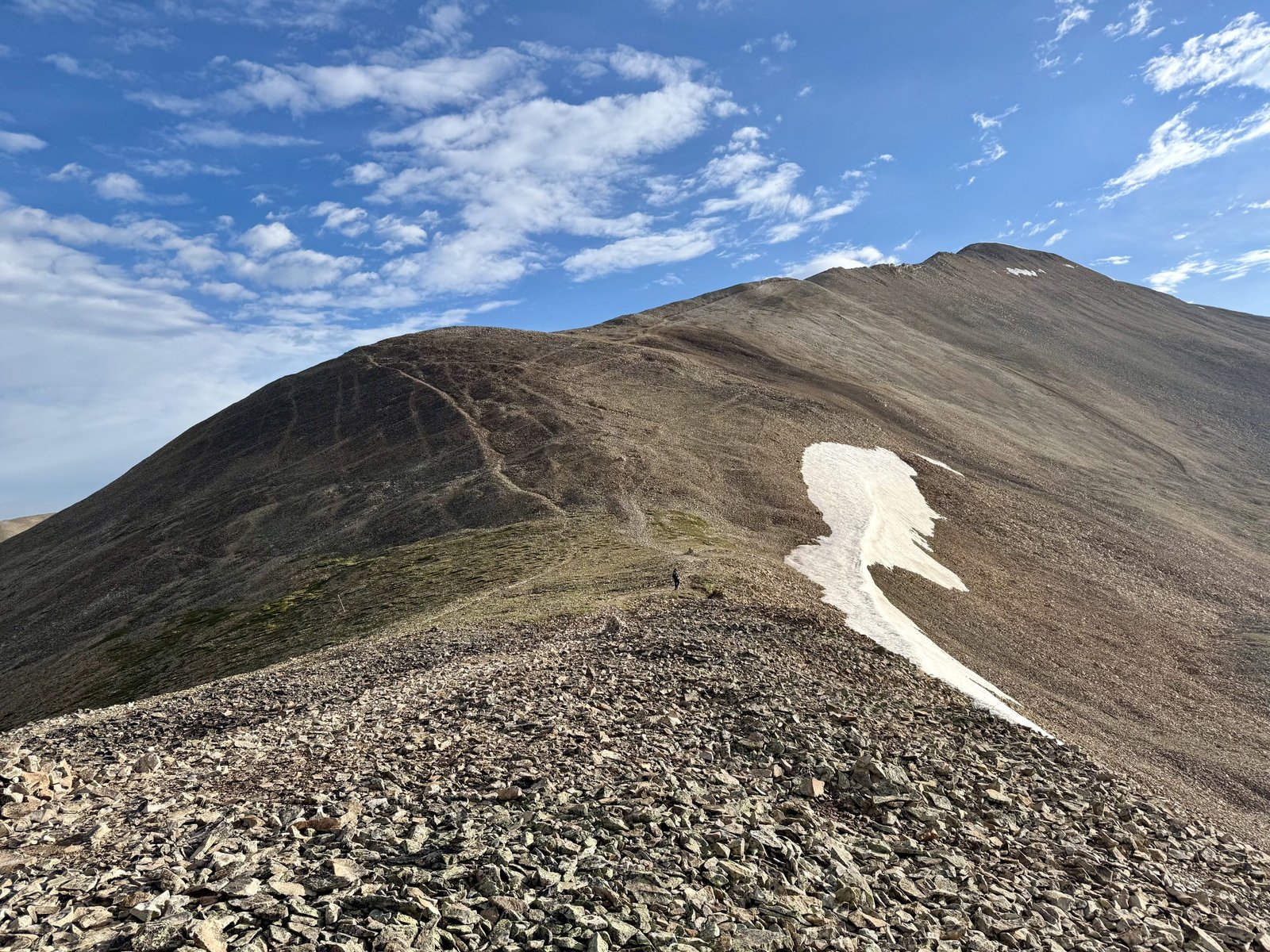
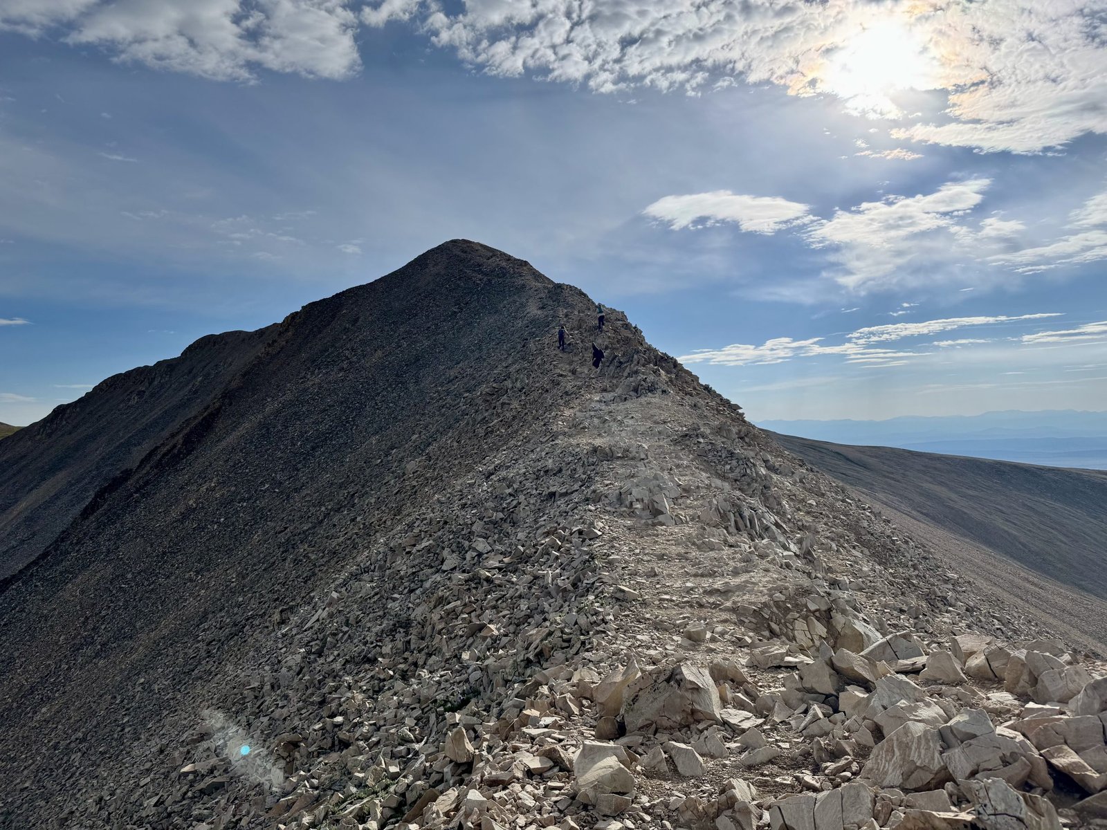
I didn’t have high hopes for Sherman (it is almost no one’s favorite 14er) but between the mining relics, scenery, and return on investment, I enjoyed it more than I expected. The summit ridge is more interesting than most of those in its weight class.
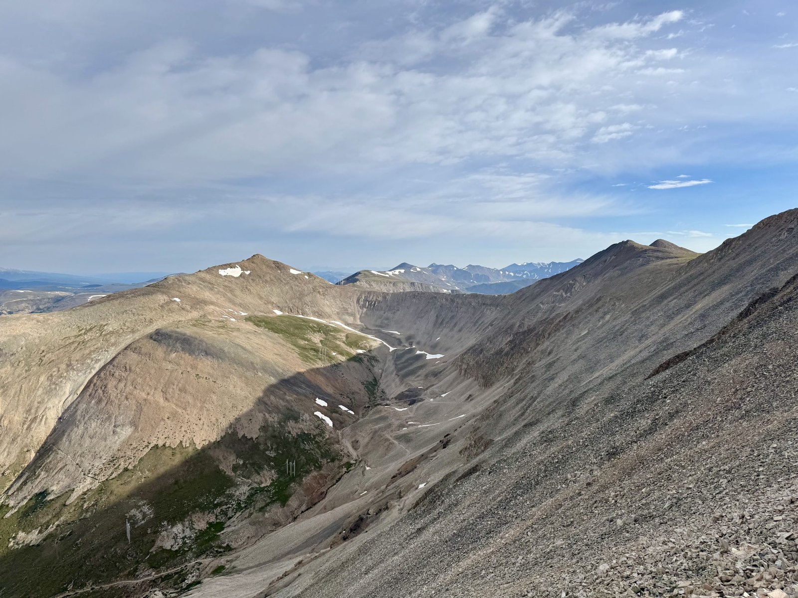
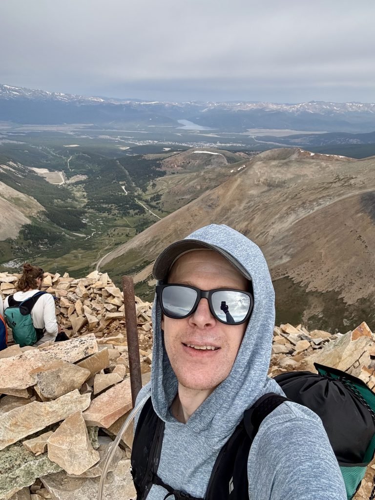
I summited in a little over 90 minutes, around 8:20 AM. The sky was starting to darken so I didn’t linger on the summit and I was back at the car by 9:30.
Round trip stats: 2h42m, 4.4 mi, 2,192′
My next target was the “DeCaLiBron,” or the loop that traverses Mounts Democrat, Cameron, Lincoln, and Bross. The trailhead at Kite Lake is less than an hour north, near Alma (home of America’s highest elevation post office, at 10,361′). I had an idea that I could camp at the trailhead, which was true…if I paid a $20 fee. I was happy to pay the fee but not with a $100 bill. Naturally I failed to get small bills while in town. Fortunately, after arriving at the trailhead parking lot an older gentleman wanted to talk to me about how our Subarus handled the surprisingly dicey final section of the road and he was able to break the larger bill. I was able to repay him by giving his wife a band-aid for her finger which she had cut on some rocks. I paid my fee and set up camp near Kite Lake with a great view of the saddle between Democrat and Cameron.
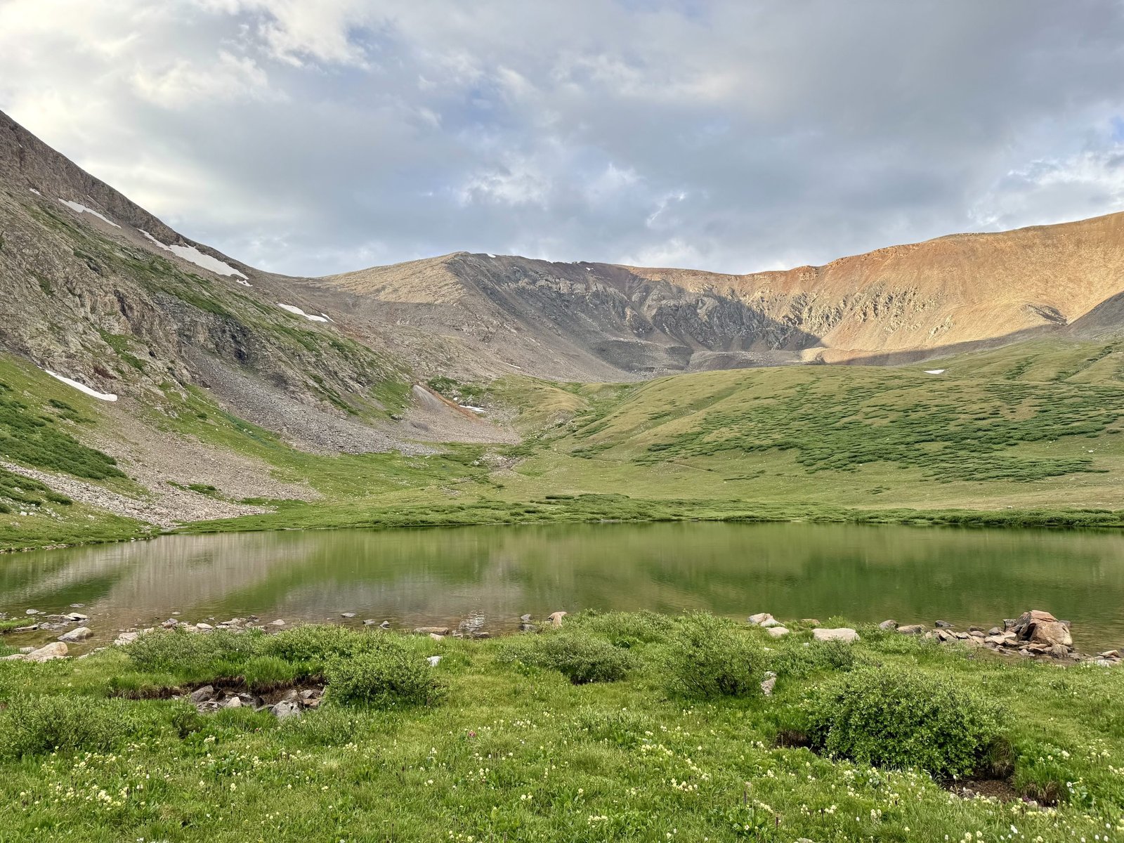
Kite Lake is also a high trailhead, at 12,000′. At that elevation, it was a chilly night in the mid 30s, but I figured I was getting a good start on acclimating by sleeping above 11,000′ two nights in a row to start the trip. I made more progress in Krakauer’s Eiger Dreams, and found this quote from a medical research volunteer on Mount Denali that remained stuck in my head the rest of the trip:
Hackett’s team, I later learned, not only received no remuneration for their lifesaving labors but–having failed to obtain funding in both 1986 and 1987–met most of the project’s expenses out of their own pockets. I asked one of their doctors, Howard Donner, why they volunteered to spend their summers toiling in such a godforsaken place. “Well,” he explained as he stood shivering in a blizzard, reeling from nausea and a blinding headache while attempting to repair a broken radio antenna, “it’s sort of like having fun, only different.”
Tuesday, July 22: #23 Mt. Democrat (14,154′), #24 Mt. Cameron (14,248′), #25 Mt. Lincoln (14,293′), and #26 Mt. Bross (14,178′)
As Gerry Roach says in his landmark guidebook, Colorado’s Fourteeners, the DeCaLiBron is “a peak bagger’s delight, since nowhere else can you get so much for so little!” There’s a good, class 2 hiking trail around the entirety of the loop. I rolled out of bed and onto the trail at 5:30 AM, hoping that leaving the warm sleeping bag would be the crux of the day (as it often is).
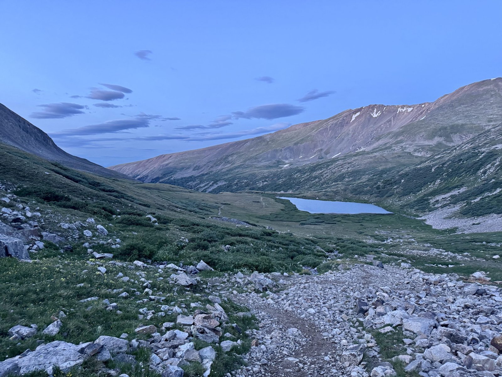
Assuming you hike clockwise, as most do, the first leg entails hiking up the basin to the shoulder between Democrat and Cameron and then taking a left to hike a steeper rock slope to Democrat’s summit.
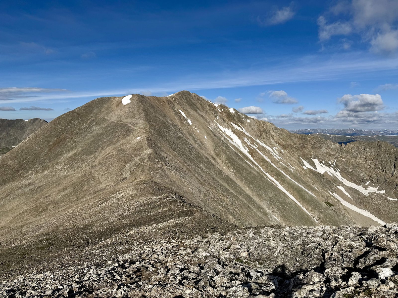
I hit the summit of Democrat in just under 2 hours, around 7:30 AM.
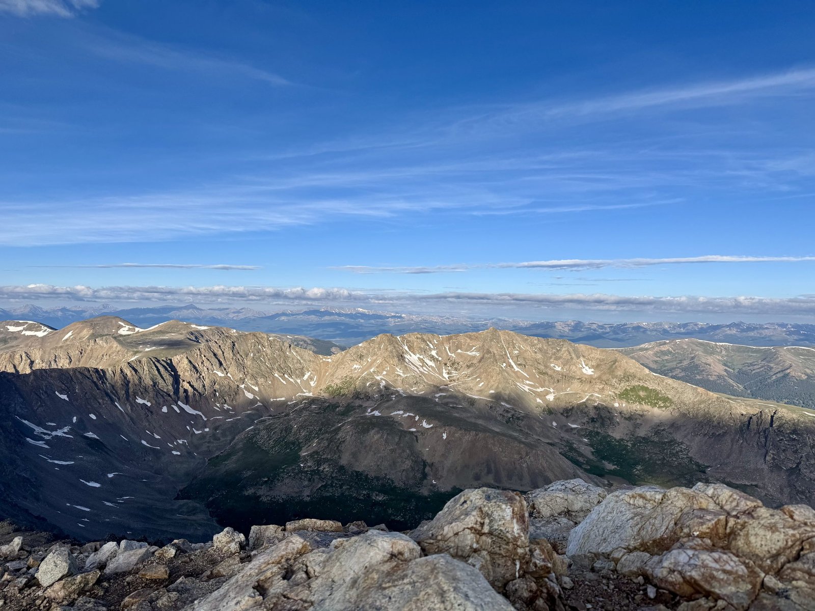
Back at the Democrat-Cameron saddle, it became clear that today was a very windy day. I tried to move quickly to Cameron’s summit, hoping the route would take me out of the wind. The angle of the wind seemed tailored to keep blasting the route as much as possible.
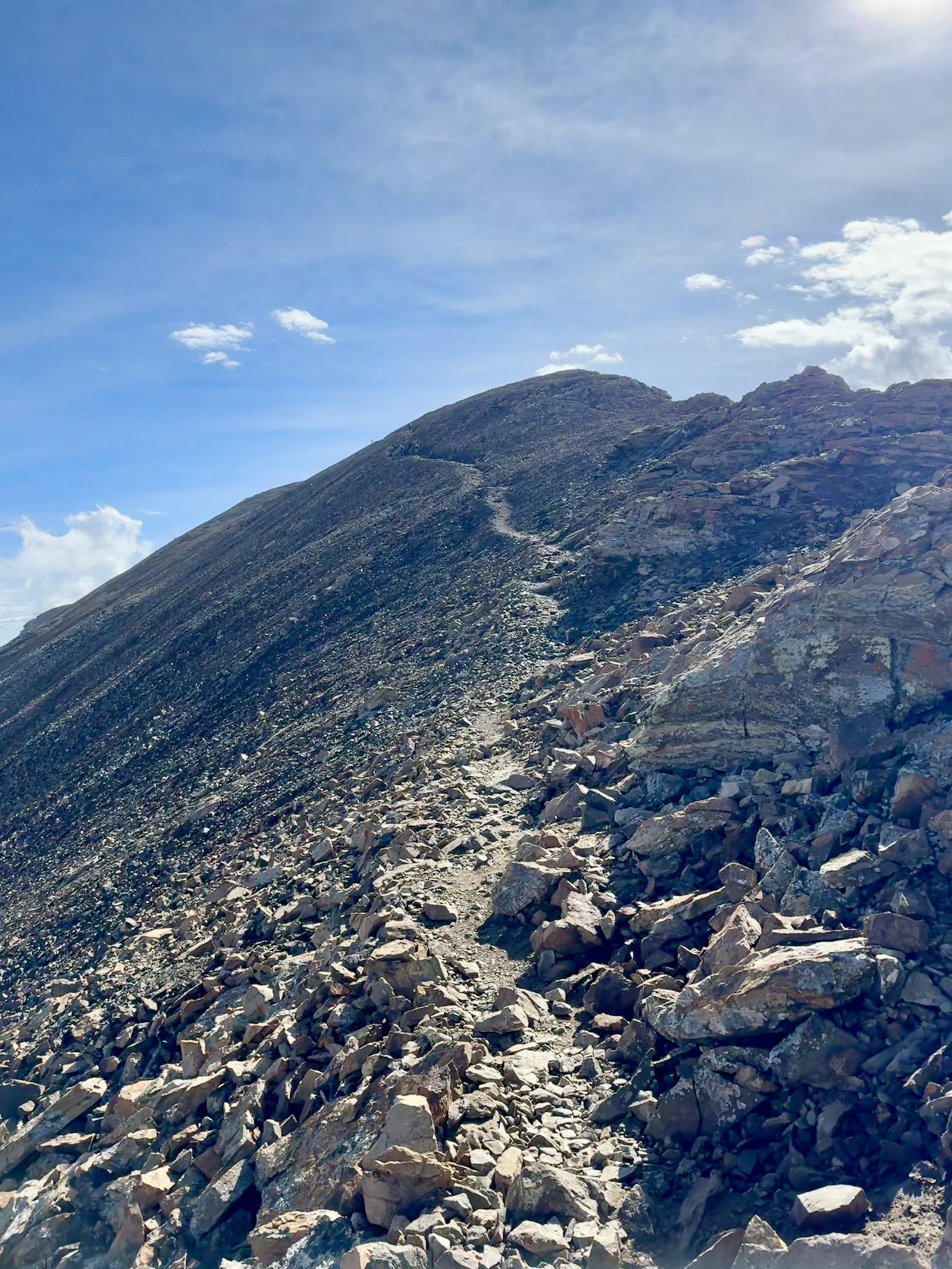
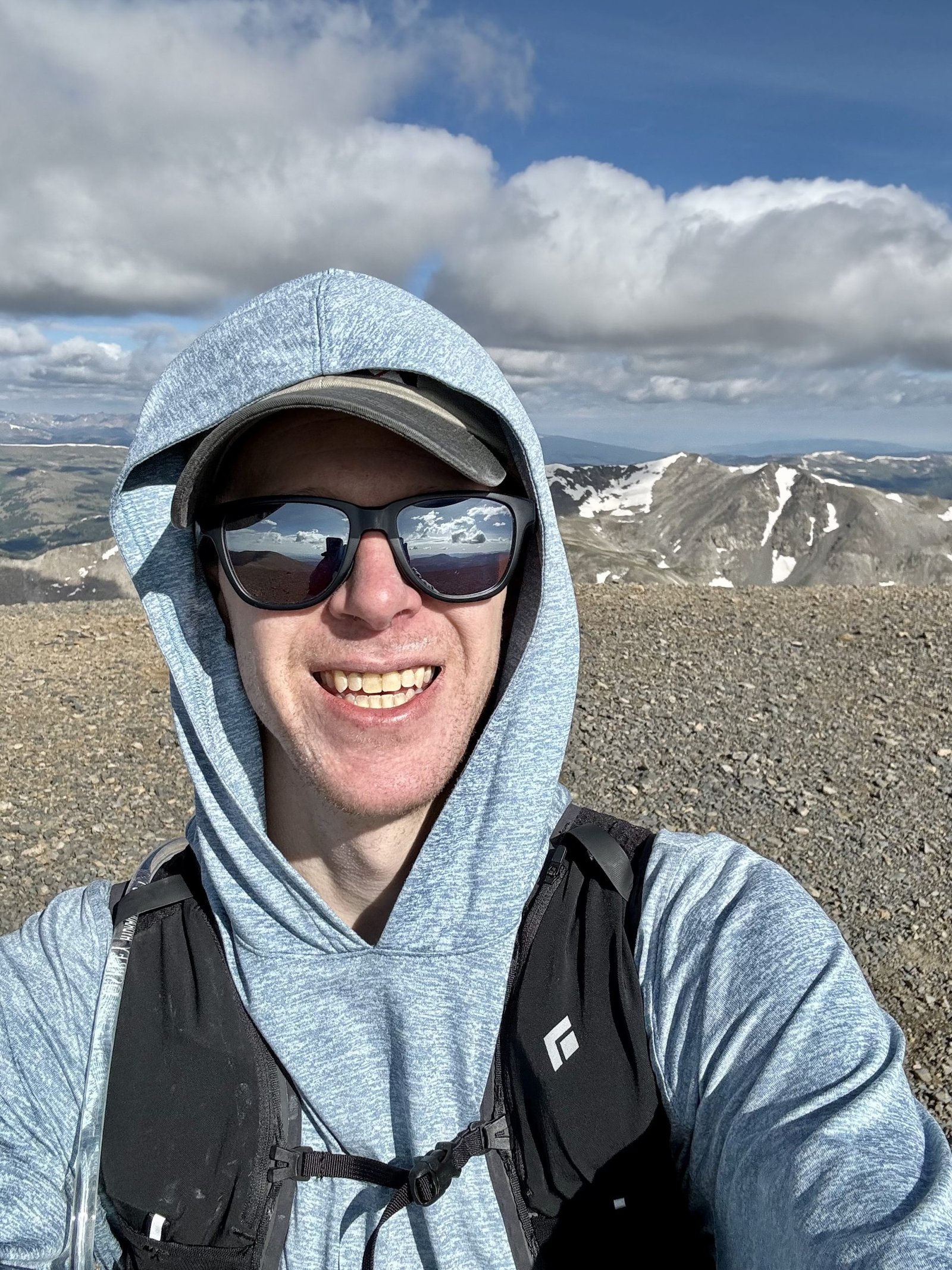
Cameron’s summit is really just a bump en route to Mt. Lincoln and it is technically one of the five “unranked” 14ers on the list of 58 (along with fellow unranked peaks El Diente, Challenger Point, North Eolus, and Conundrum Peak), since it rises only 157 feet from its saddle with Lincoln. Nevertheless, I use the list of 58, as most do, and Cameron is one of 58. It took me nearly 90 minutes to traverse down Democrat and over up to Cameron, arriving just before 9 AM.
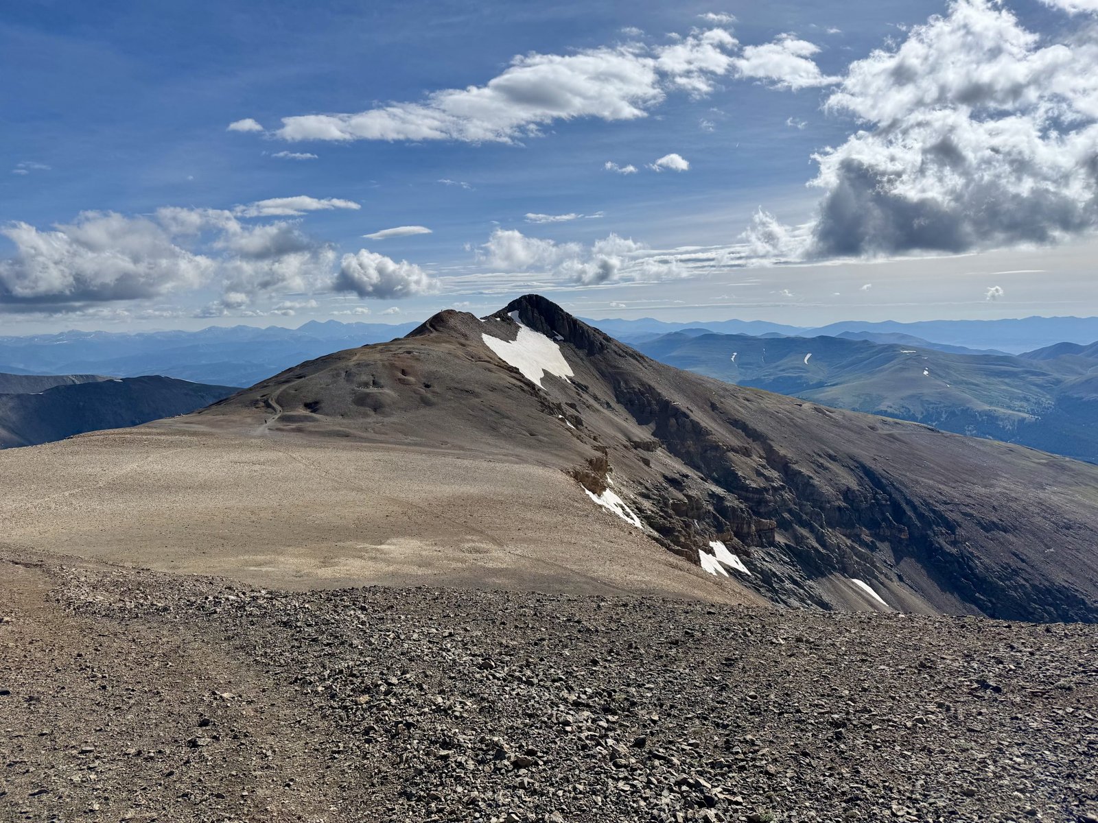
I barely broke stride going over Cameron, with the wind still howling.
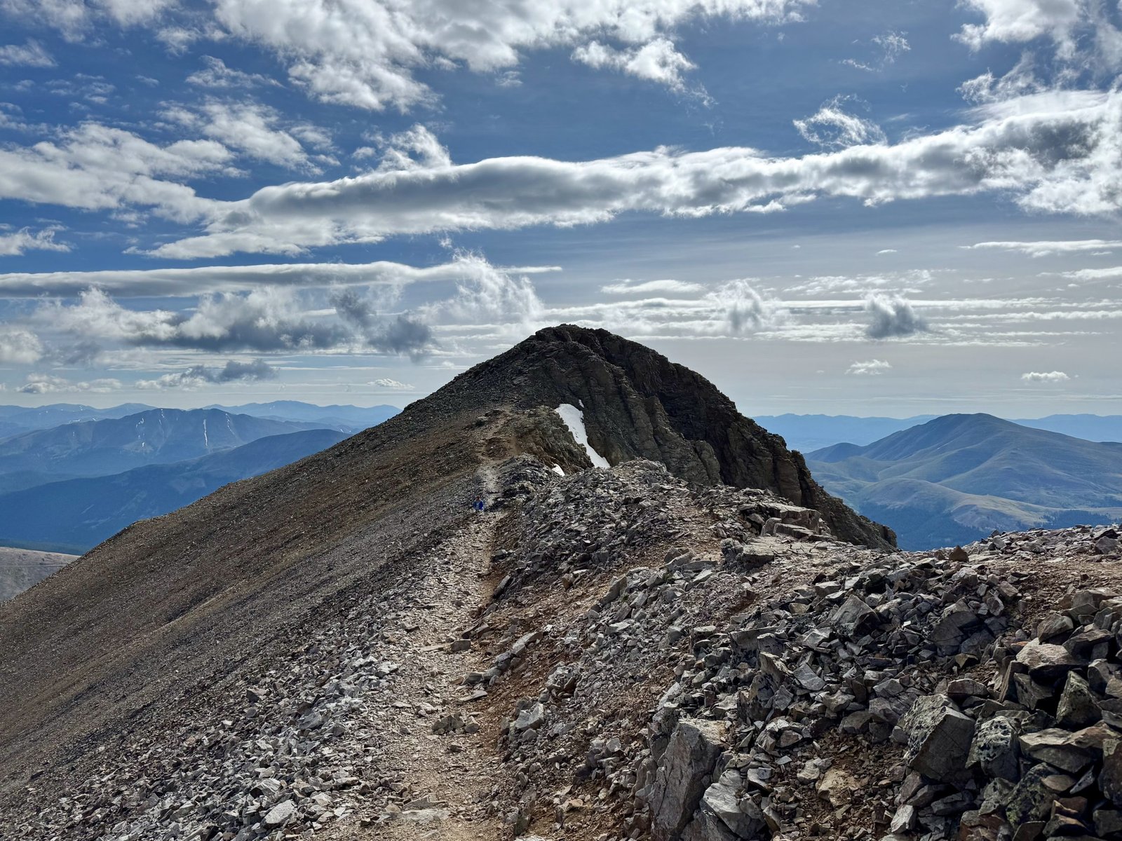
It took less than 20 minutes to traverse from Cameron to Lincoln and I was on top of 14er #25 at 9:12 AM.
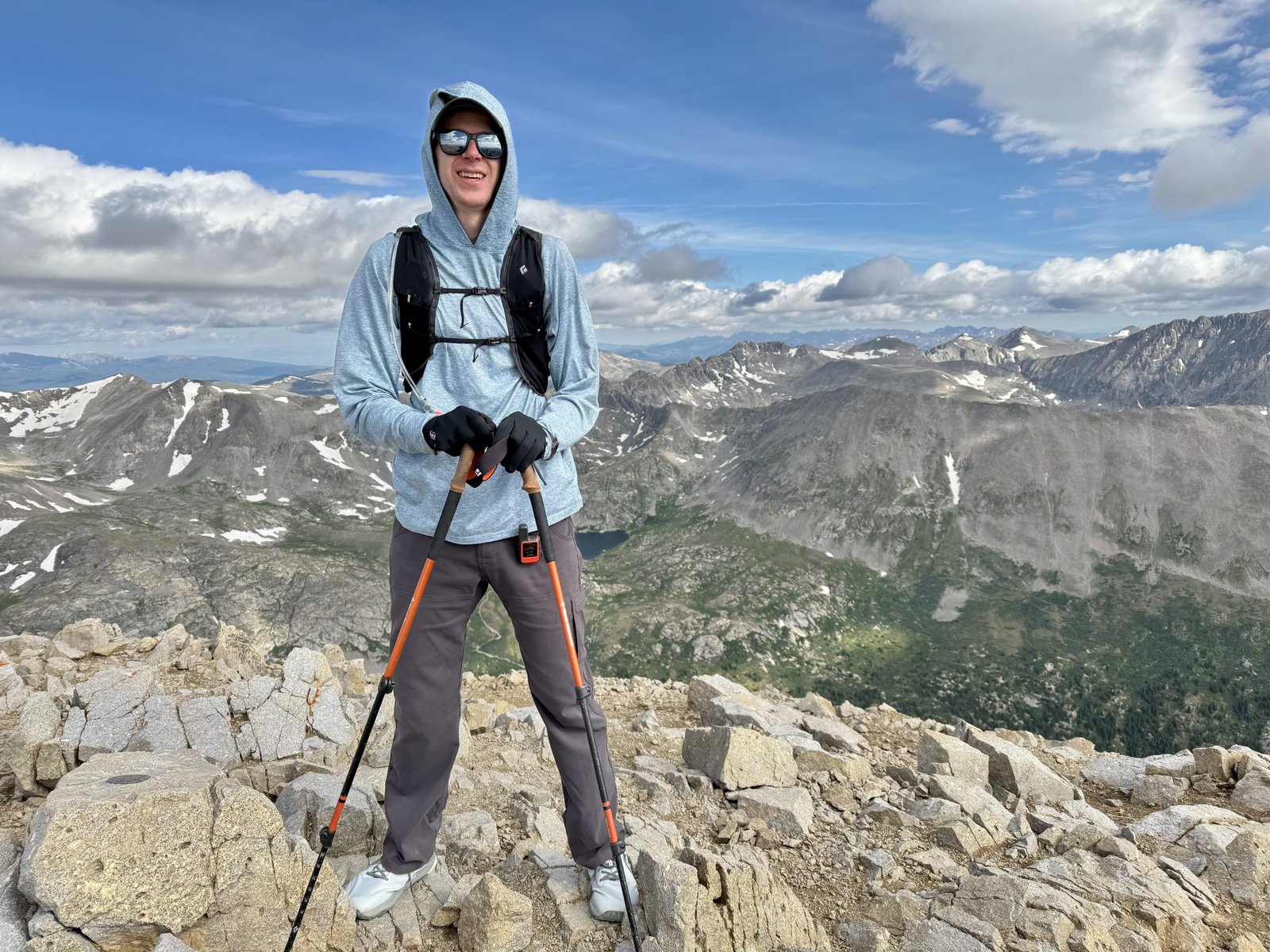
The wind was still whipping on top of Lincoln so I stayed just long enough to take pictures and send Emily a text before continuing on. I skirted Cameron’s summit to hiker’s left as I continued around the loop to Bross. You get a great view of Lincoln’s good side as you continue towards Bross.
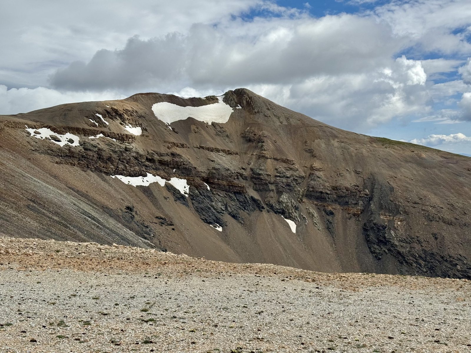
Mt. Bross’s summit is on private land, as is Mt. Democrat’s (both holdovers from old mining claims). Unlike Mt. Democrat, the Bross landowners have not opened Bross’s summit to the public so it is technically closed. The current official DeCaLiBron loop trail bypasses the summit on a trail maybe 100′ below the top.
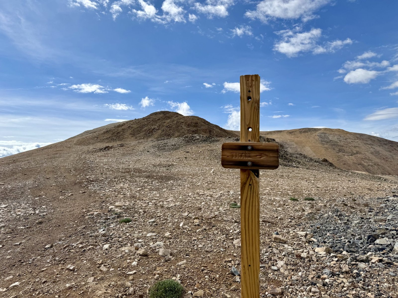
Despite ample signage warning of the closure, I saw several groups going to the top anyway. I stuck to the bypass and claimed the summit, which I understand to be generally accepted practice during the closure. I checked in from the bypass high point (the “public access Bross summit”) 30 minutes after leaving Lincoln, at 9:47 AM.
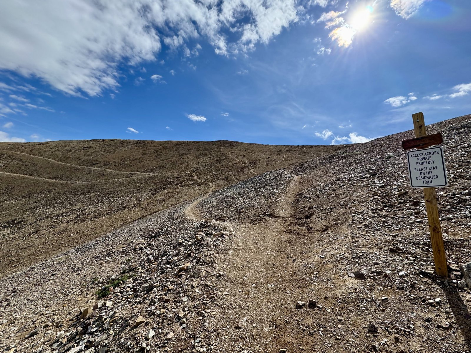
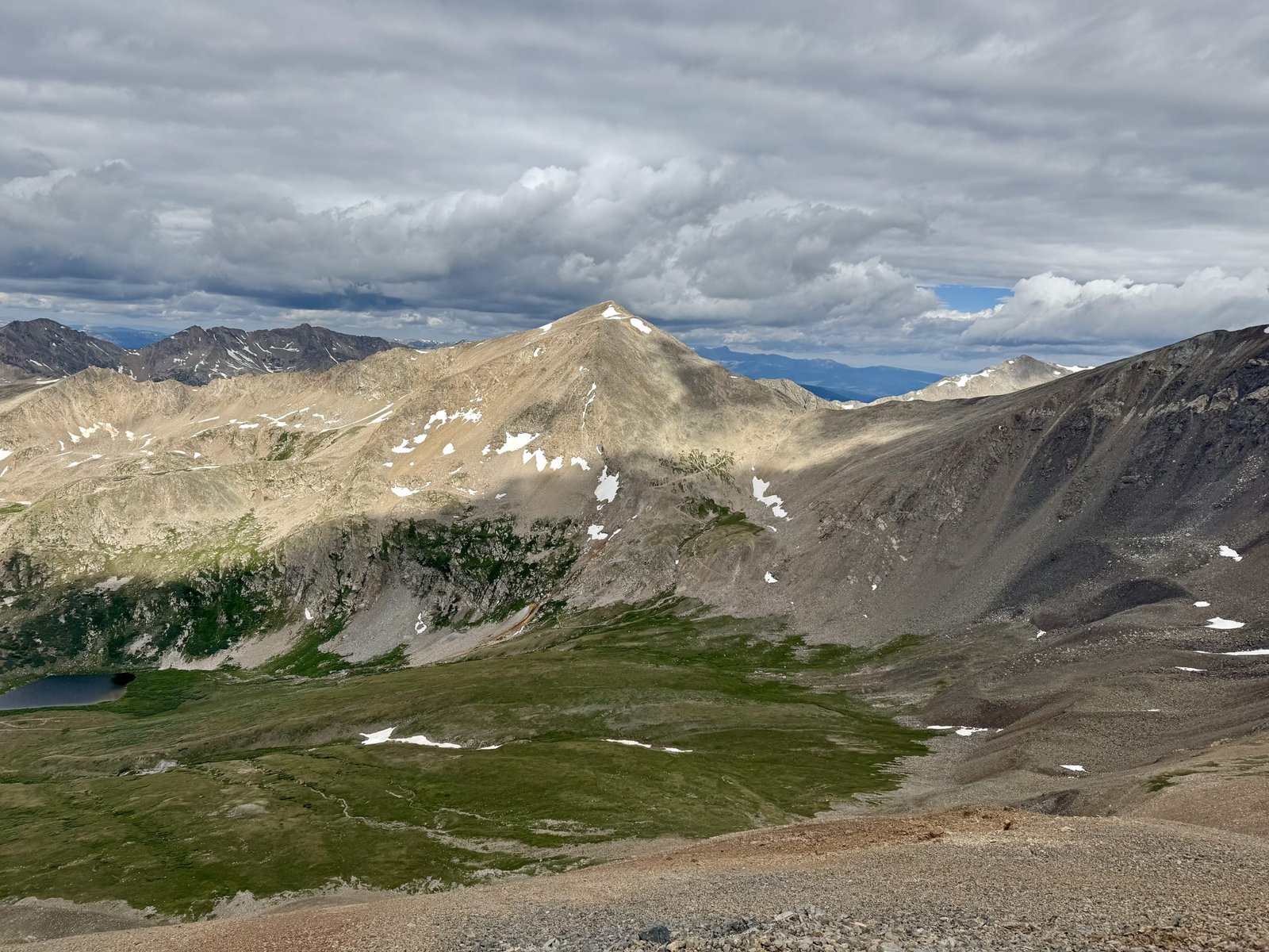
Gerry Roach says, “Mount Bross challenges photographers to make it look dramatic.” Between that and the closure, Bross is already at a disadvantage, and its steep, loose, unpleasant descent puts it into the bottom tier of 14ers. It took me an hour to pick my way down the scree basin back to Kite Lake. Stats: 5h26m, 6.8 mi, 3,570′. A light day for a single 14er, but here that buys you four!
When I got back, the parking lot was a buzz of activity. A Colorado 14ers Initiative volunteer crew had arrived to perform trail maintenance work on the Mt. Democrat trail and I was just in time to move my car so they could park their vehicles. I obliged and then quickly packed up camp, just beating the rain back into the car.
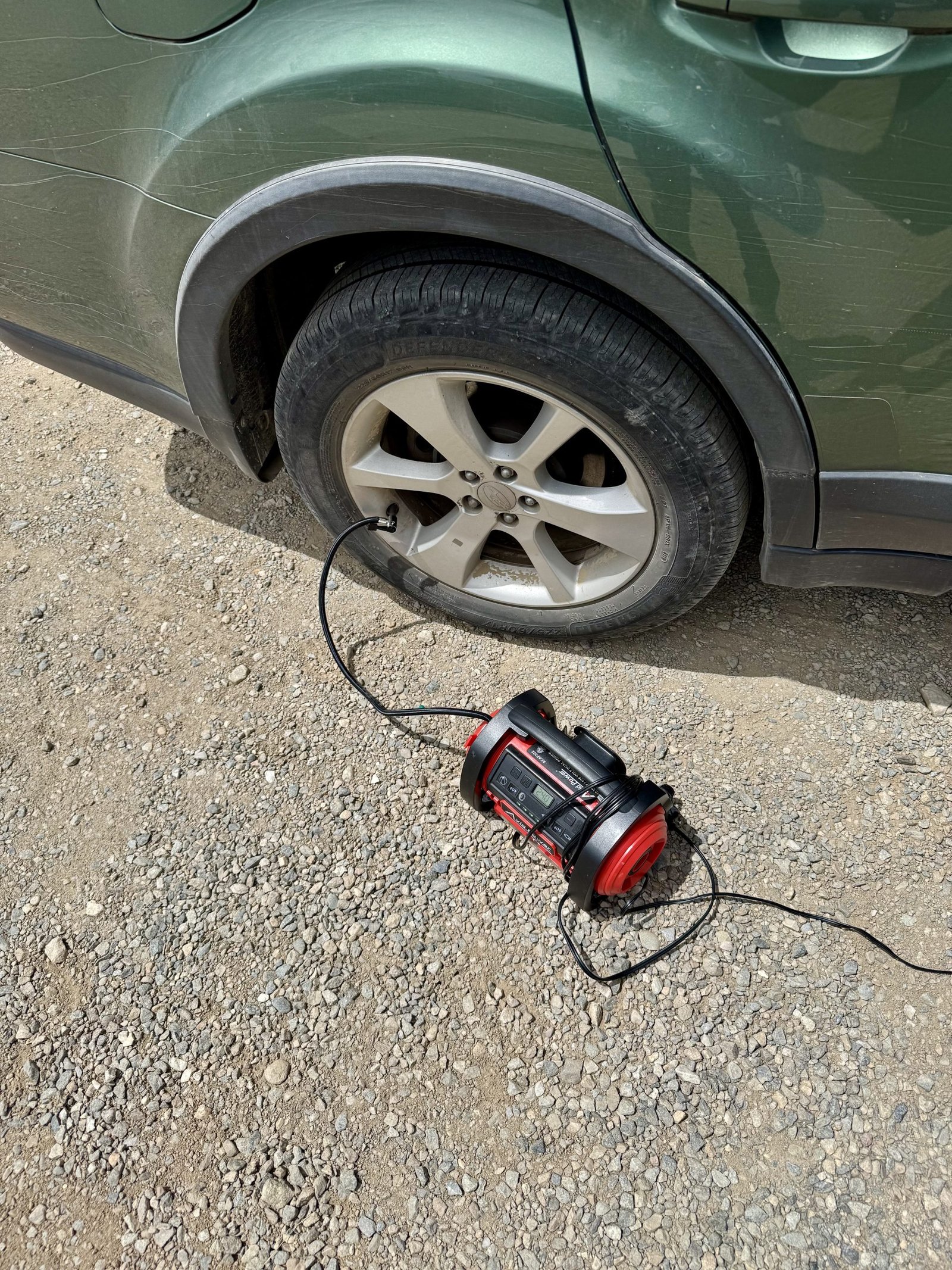
I had just made it down the bumpiest section of the Kite Lake road and was starting to celebrate when tire pressure warning light came on. The passenger rear tire was low (around 20 PSI from a max of 44), which I was able to air up using a portable air compressor powered by the car cigarette lighter outlet. I crossed my fingers it was just a really slow leak.
My original itinerary called for me to continue clearing popular Front Range-adjacent peaks by taking the class 3 Kelso Ridge route up Grays and Torreys Peaks, possibly the two most popular 14ers due to their proximity to Denver. However, I had been a little skeptical about the road to the trailhead, as a diligent poster on the 14ers.com page had spent the early summer season counting the number of oil pans punctured and drained by rocks en route to Grays Peak Trailhead (six in July!). Reviewing these updates over lunch with the possibility of a leaky tire in mind, I decided I could save Grays and Torreys for another year. Plus the weather looked marginal in the Front Range mid-week. I drove south and got a hotel in Salida, which sits in between the northern tip of the Sangre de Cristos and southern end of the Sawatch Range, making it a good launch point for just about any direction. To my delight, there was an excellent Himalayan restaurant next to my hotel and I stuffed myself with curry and naan.
Wednesday, July 2
After weighing competing middling weather forecasts, I settled on trying Mt. Lindsey, at the far southern tip of the Sangre de Cristos. Lindsey also sits on private property and had been closed to the public for a few years but was newly reopened as long as you signed a liability waiver. That plus an intriguing short and sweet class 3 ridge route had my interest. Of course, after hand-wringing about the Grays Peak road I signed up for a twenty mile dirt road approach that got progressively bumpier as you neared the trailhead. Still, reports were more positive about its Subaruability than Grays.
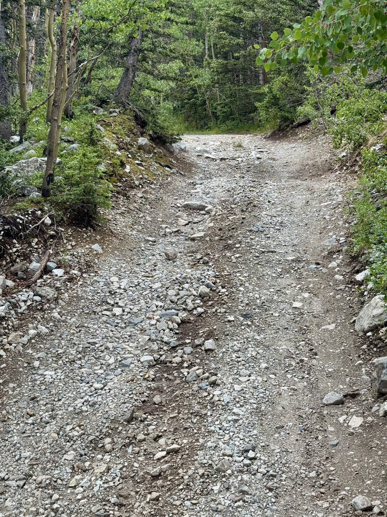
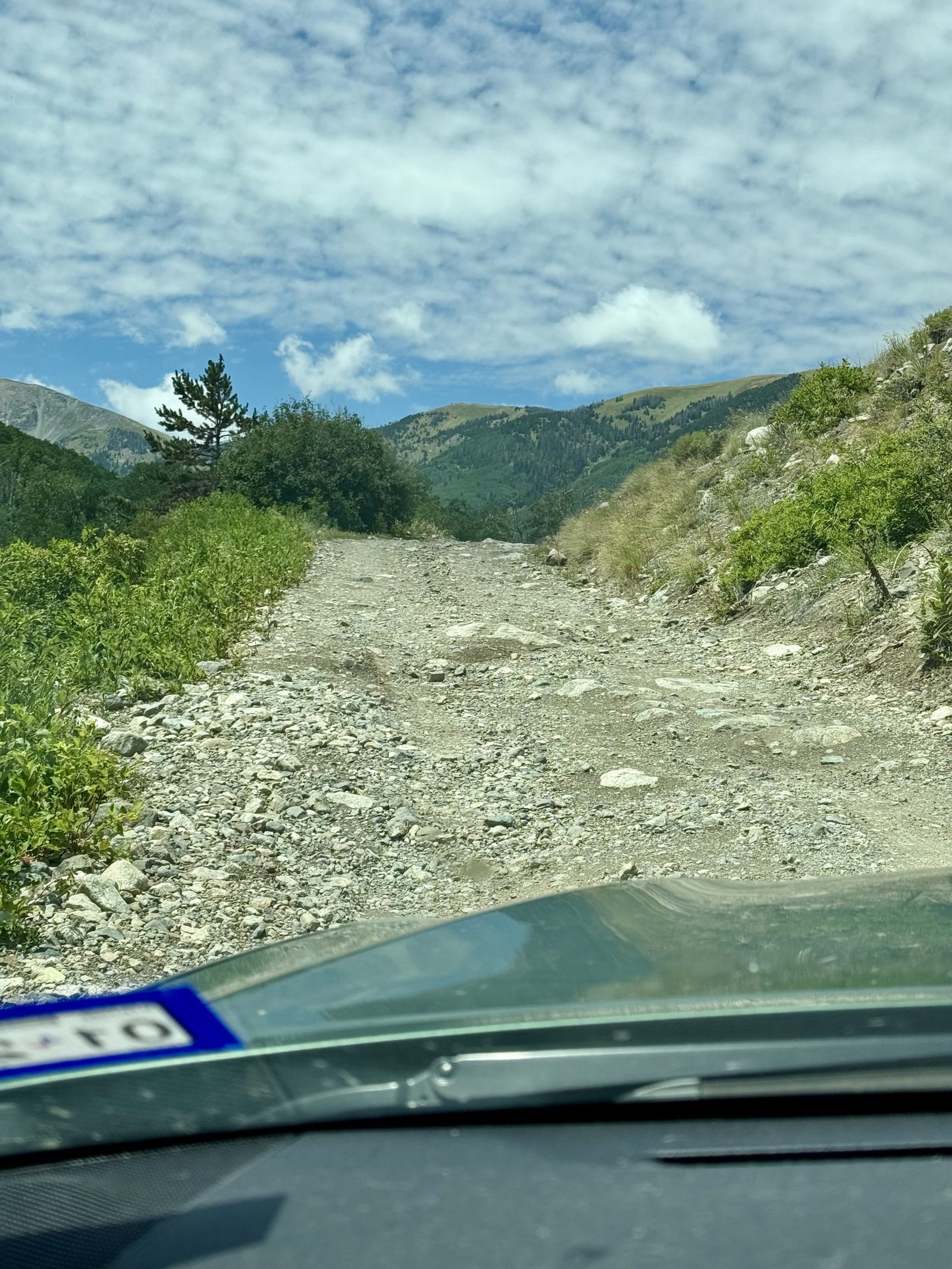
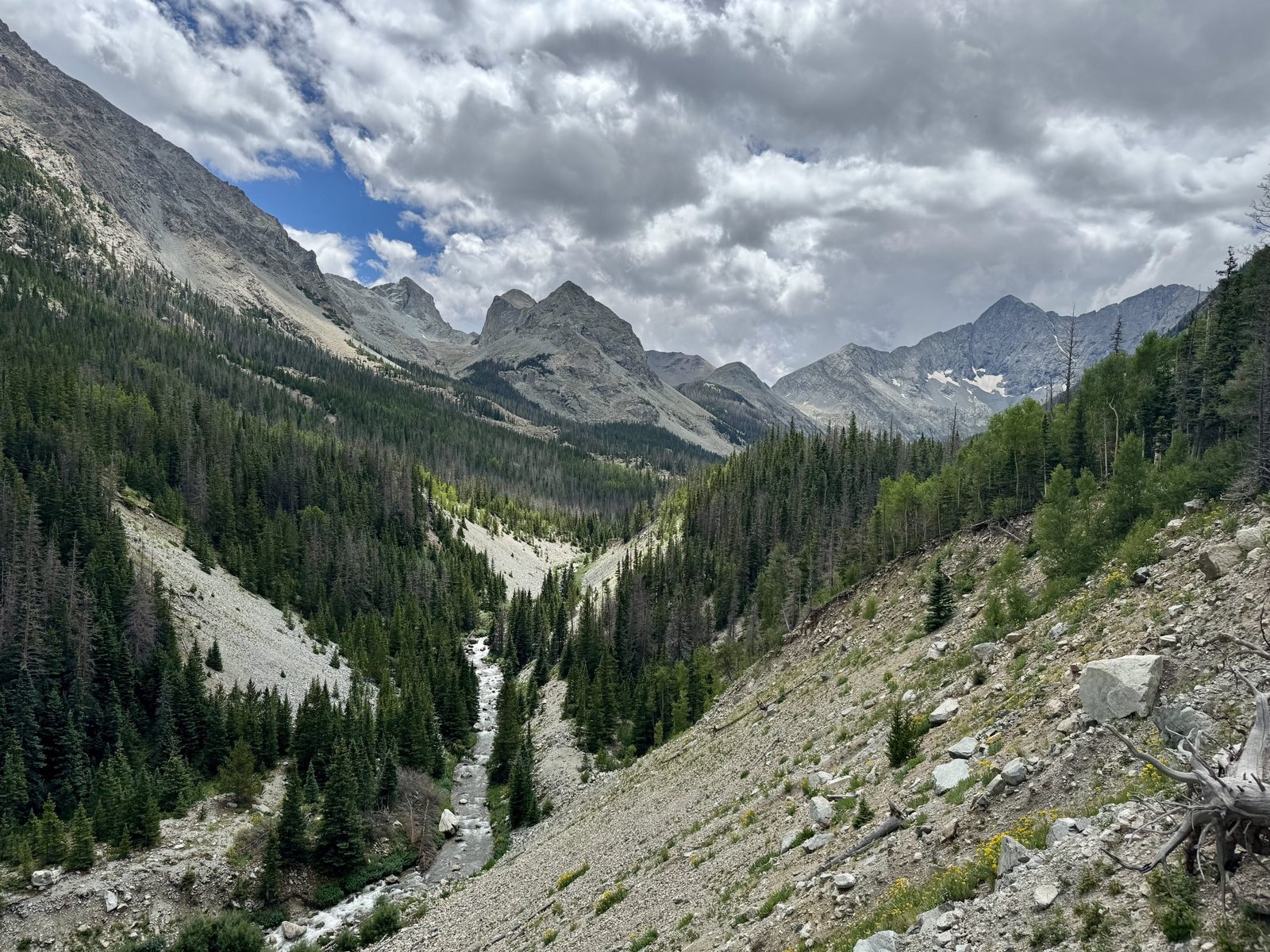
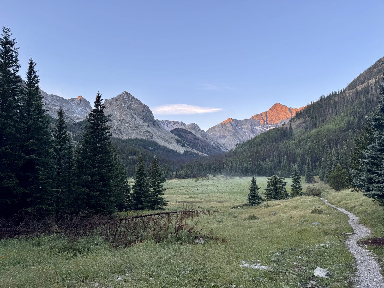
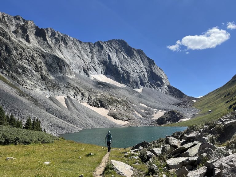
For the most part, the road was merely long and bumpy. Twenty miles goes slowly in those conditions though. I parked just short of the trailhead parking area, after rounding a corner and gasping when I saw this view:
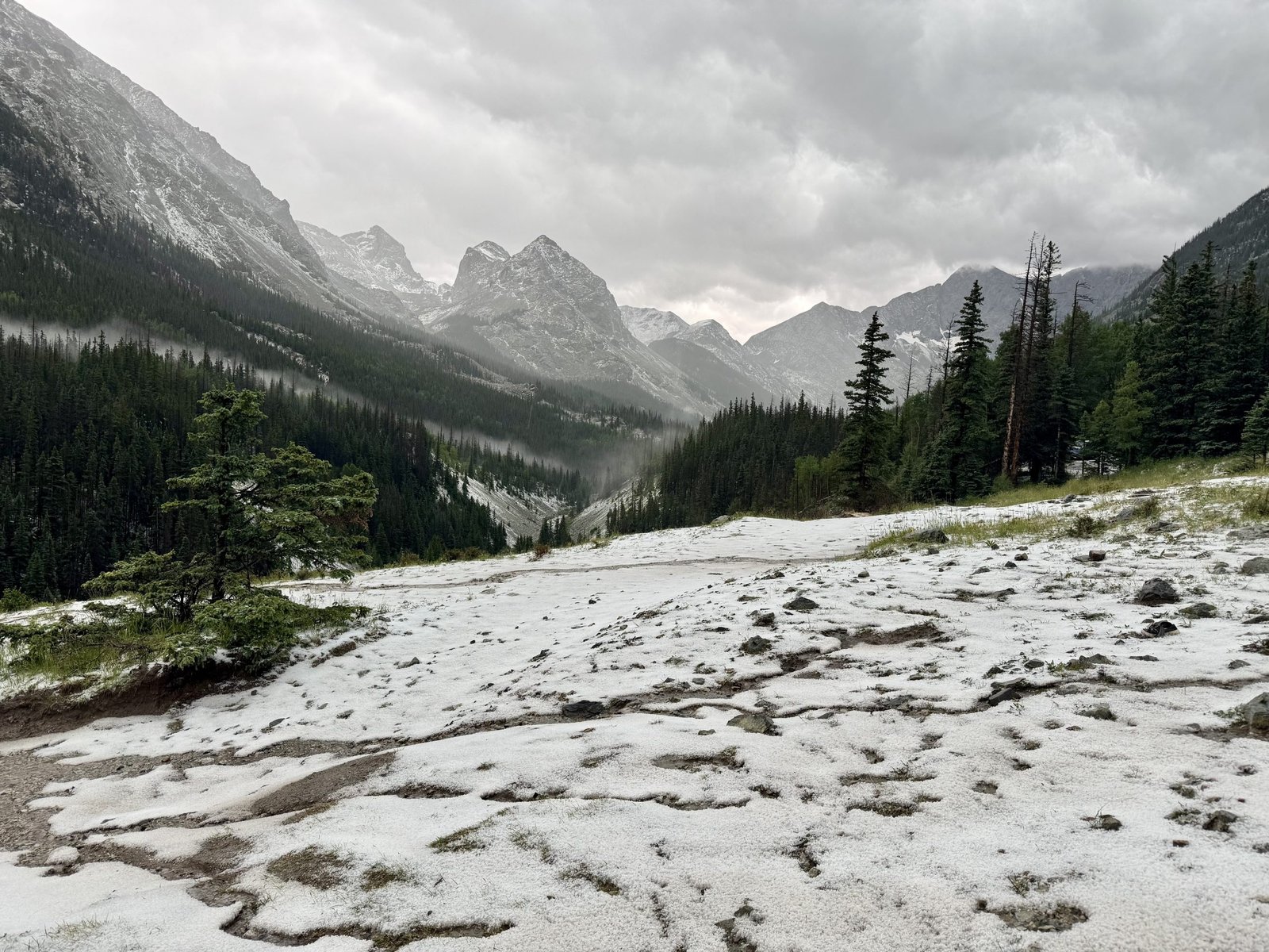
Weather rolled in quickly as I finished setting up camp and I retreated to the car to read as rain began to fall. The rain soon turned to hail (or graupel?) which came down hard for nearly two hours, covering the peaks and surrounding area in white. The tent and car took a pounding but held up.
I stayed in the car during the storm and keep a nervous eye on the tent, making a couple quick trips outside to clear accumulated hail off the tent roof. Nothing tore or broke but the tent did get some water pooling in the corners and condensation on the inner mesh body. After the storm, I talked to an older man named Bob who apparently camps in the Lindsey area every year with his corgi, Archie.
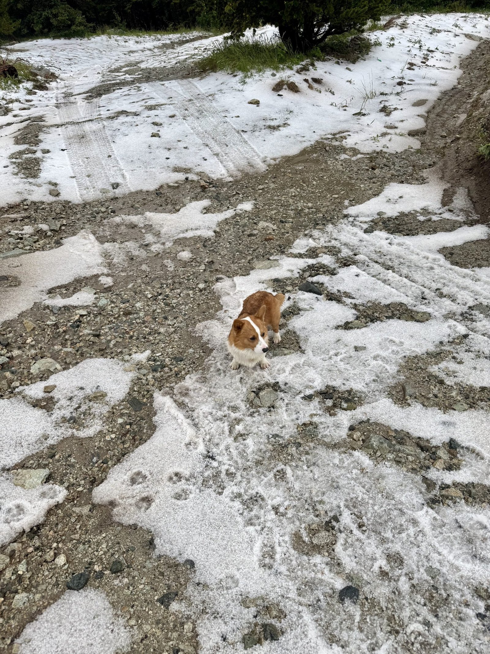
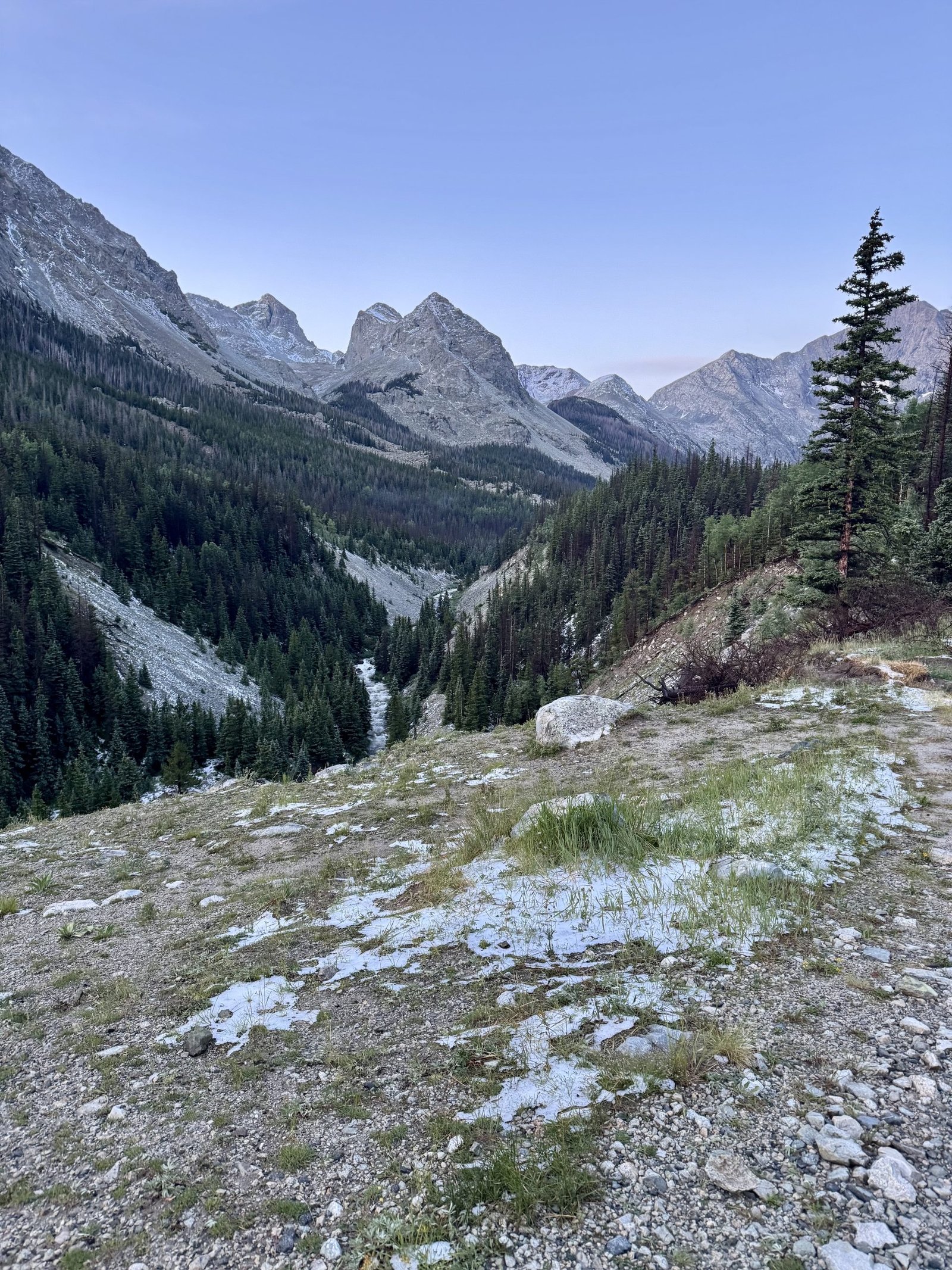
He had the same tent (REI Quarter Dome 1P) and his made it through the storm without issue. Maybe I didn’t pitch mine effectively or the hail pooled differently where I was. He also warned me (and two younger kids who arrived late in the evening) that there was no way to climb Lindsey and keep your feet dry, especially after a storm like this. I had already wetted out several pairs of socks that evening walking around in the snow and took this under advisement. I slept in the car that night and was relatively comfortable (the trick is to angle the front of the car downhill so that I can put my head at the rear and dangle my feet over the front seat console).
Thursday, July 24
After the storm, I wasn’t sure that my heart was really in climbing Lindsey the next day, but I gave it a shot since I had driven all the way up there. Most but not all of the snow had melted overnight but I was worried about accumulation higher up, especially if any stuck to the dicier parts of the class 3 ridge. I started a little late, around 7AM.
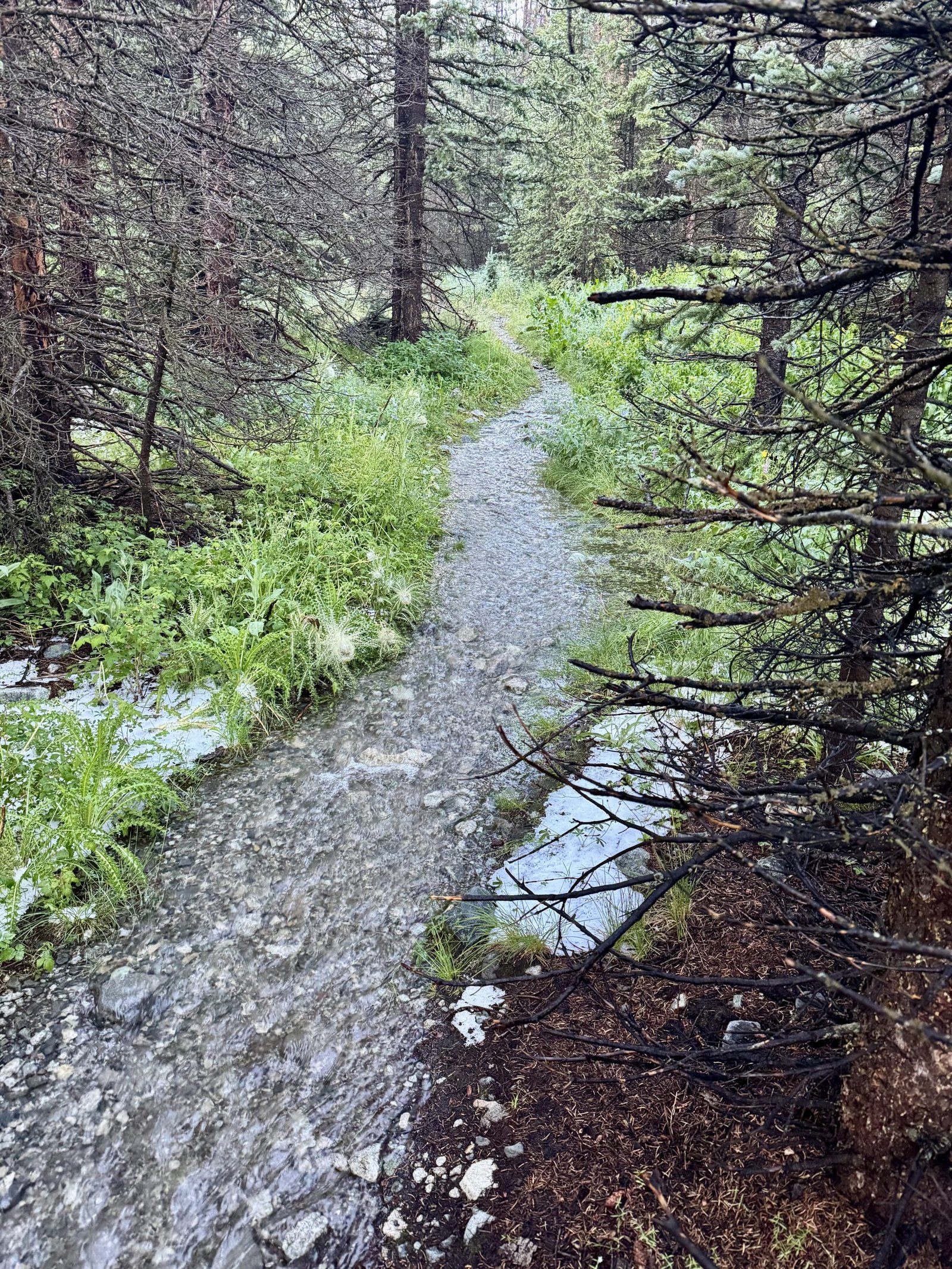
Bob’s warning about wet feet was very accurate. The trail was essentially a stream in multiple places, with wet marsh or snow to the sides.
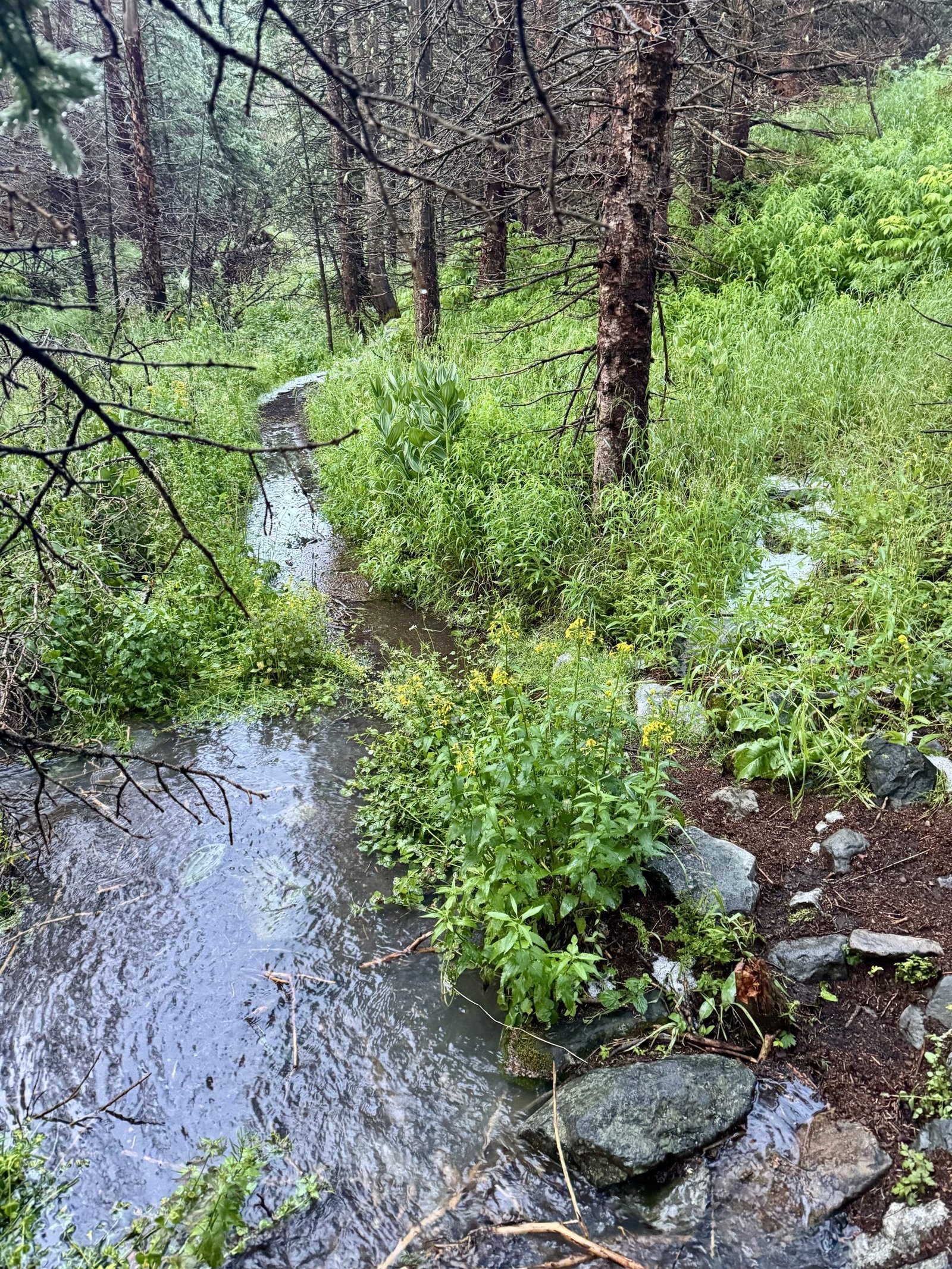
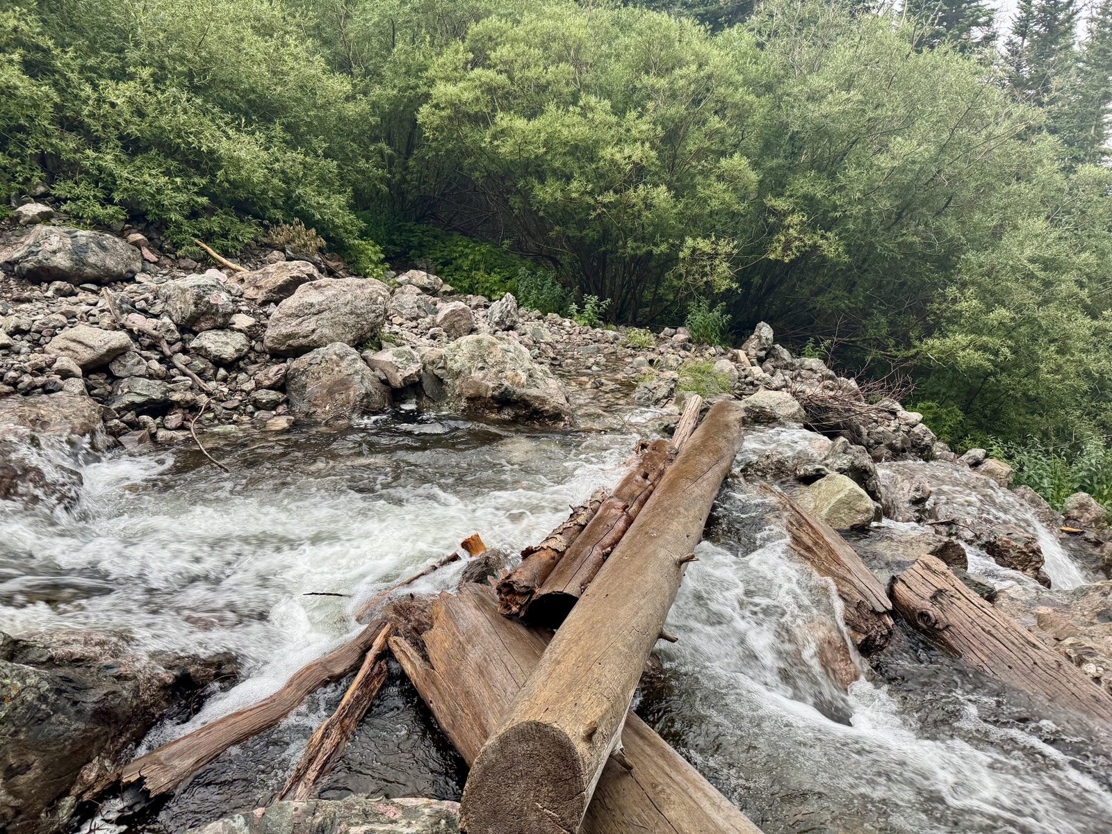
Eventually I came to the creek crossing, which I understood was passable via a log jam.
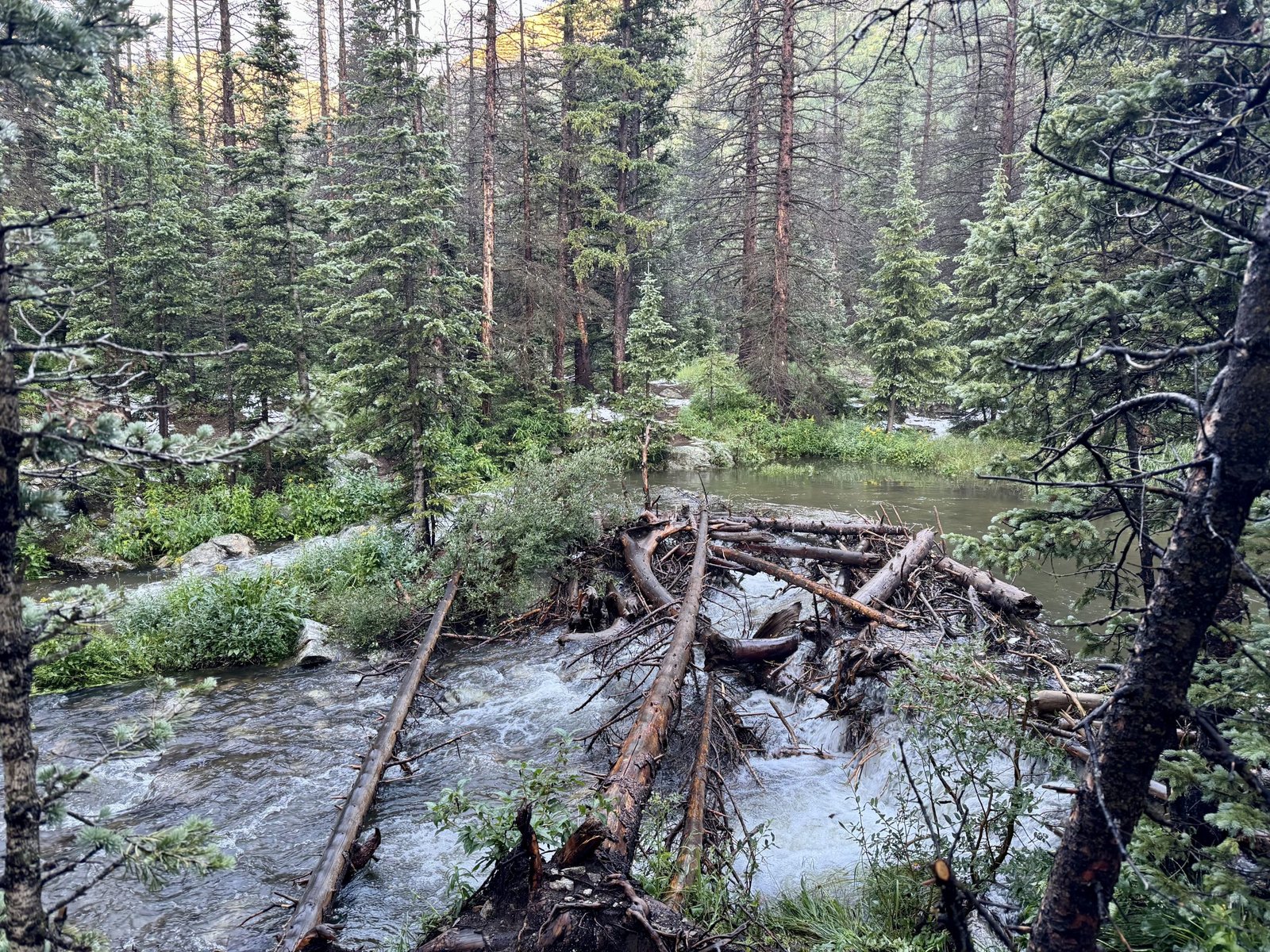
Unfortunately, the crossing was worse than anticipated and the log jam was not effective at allowing you to cross with dry feet. I spent quite a while looking for alternatives but didn’t find anything in the immediate area. I crossed using the smaller tree to the left, which was easier to balance on than the larger log, but that only got me to the small island in the middle of the creek. From there, the gap was still 3-4 feet wide, the remaining logs were partially submerged, and the water was fast, cold, and at least thigh-high even for me.
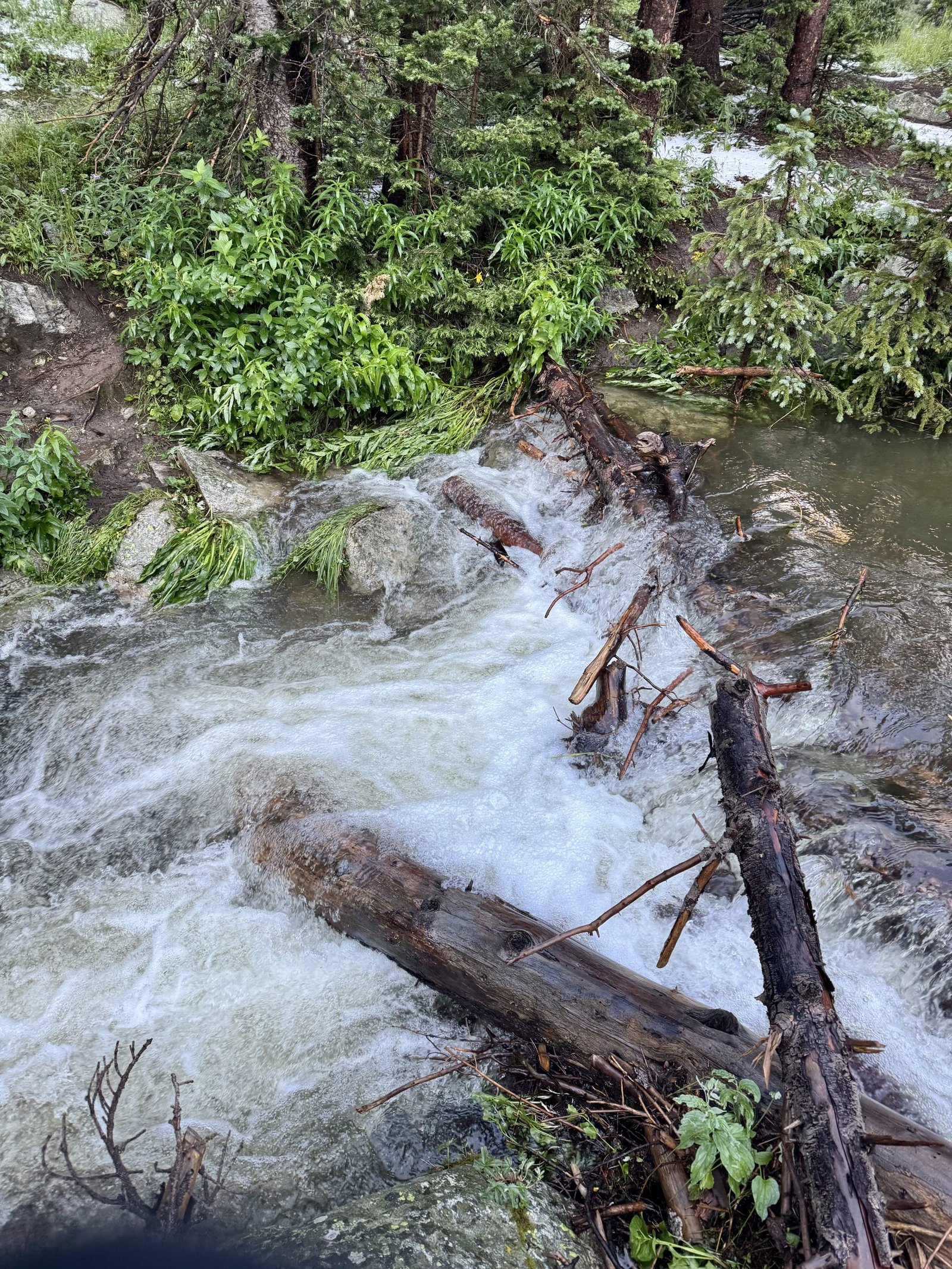
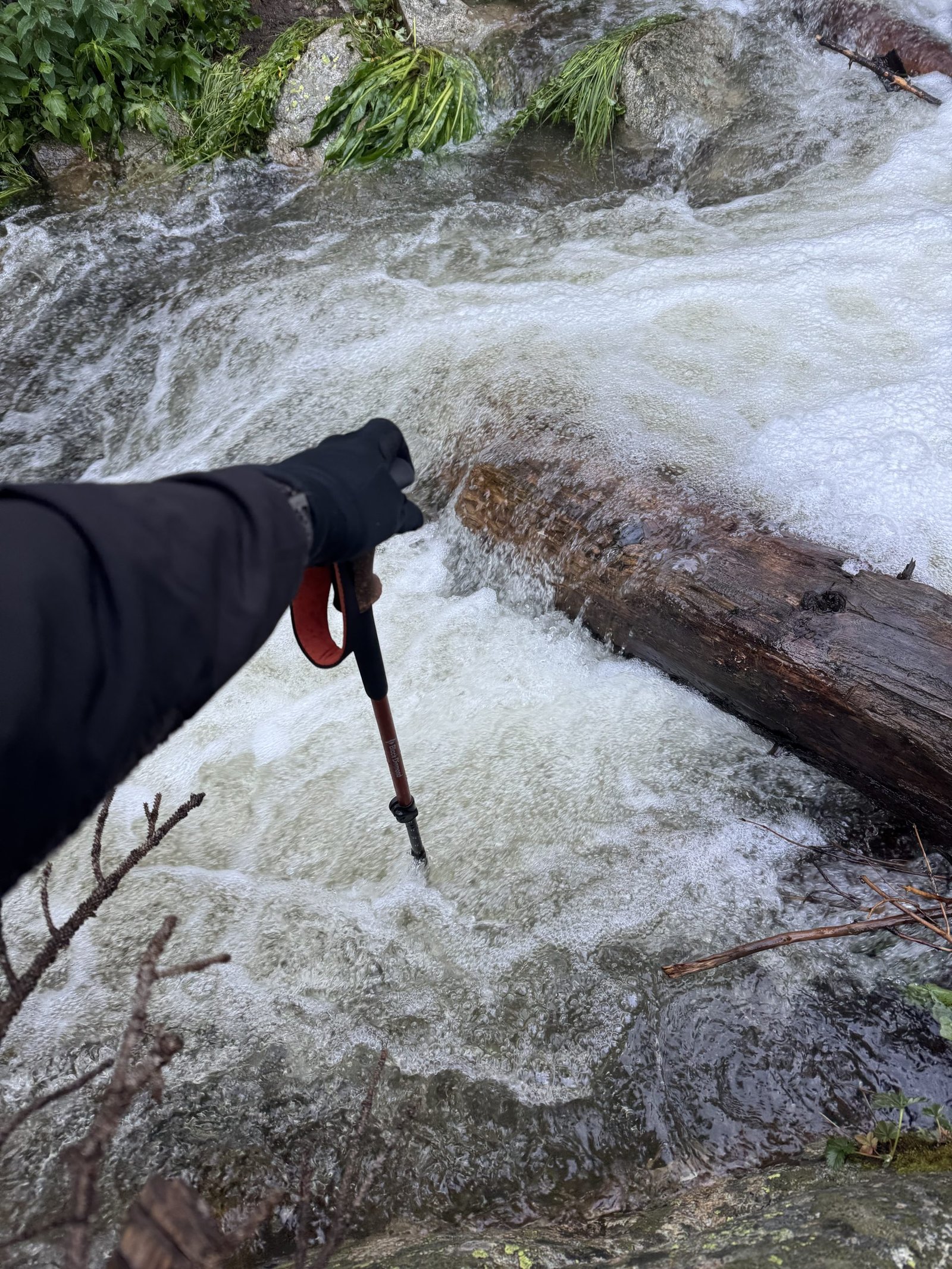
I didn’t see a feasible dry crossing. Jumping across would have me landing on wet rocks on the shore, which could go badly. Fording would get more than my shoes wet. There were no likelier crossing points nearby in either direction and I didn’t want to explore too far off trail (everywhere was wet with snow and dew anyway). So I turned around. It just didn’t seem like Lindsey was in the cards today.
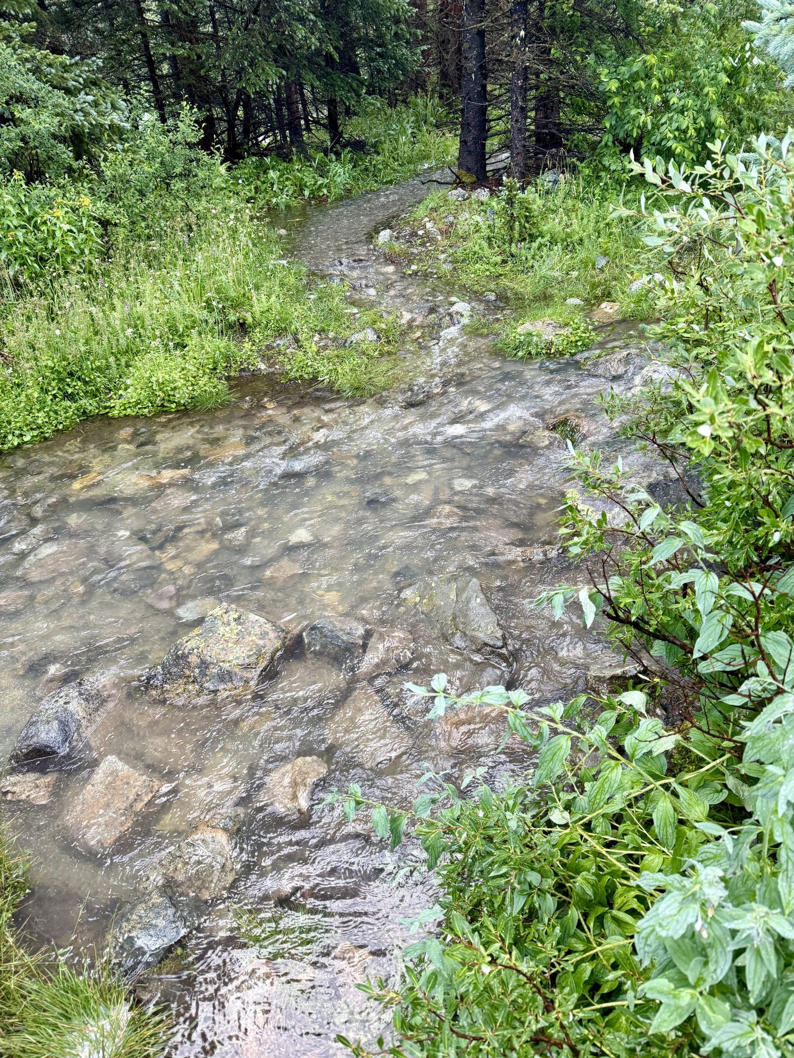
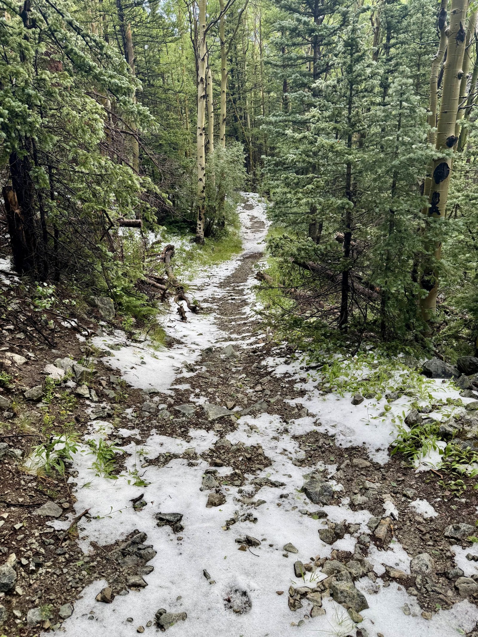
I was only a mile into the hike and got back to camp before 7:30 AM. I spent the rest of the morning drying wet clothes and gear in the sun. I spent some time talking 14ers with an older man who only needed the three Wilson Group 14ers to finish and was thus staying behind while a group including his son went for Lindsey. He heard his group found a way across the creek, though no word on how wet they got. The weekend forecast for the Sangres looked excellent for big objectives so once things were dry enough to pack up, I hit the road for the town of Crestone, on the west side of the Sangres.
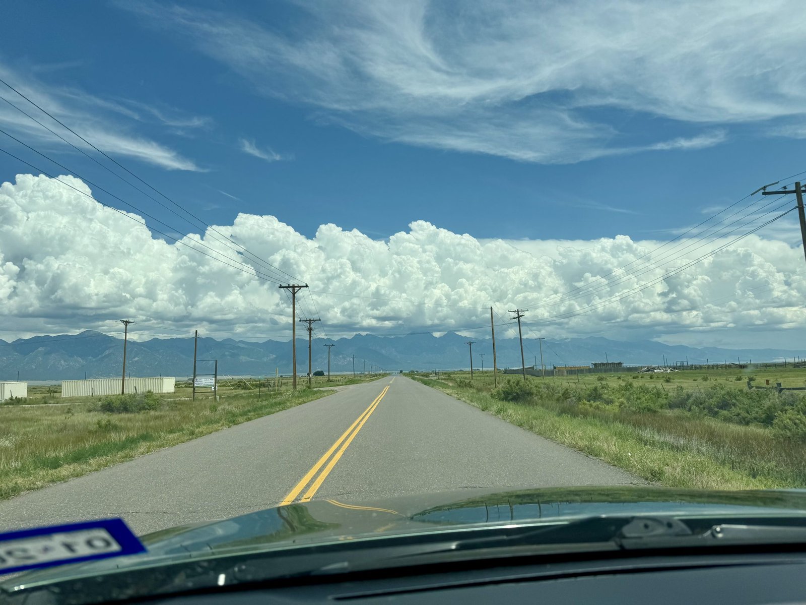
Crestone is always a trip. Maybe the most hippied-out town in Colorado, which is saying something. Definitely the most religious institutes / spiritual centers per capita. I had lunch in town at Our Food Is Art, where I heard someone saying that the HBO documentary about Crestone played things up a little. The Willow Lake Trailhead is just a few miles outside town and leads to Kit Carson Peak and Challenger Point. It’s doable to do the peaks as a dayhike but I planned to pack in to give myself plenty of time for the North Ridge. It’s a 4 mile approach to Willow Lake, with 3,100′ of elevation gain, and the rain that had been threatening all afternoon finally came about an hour in.
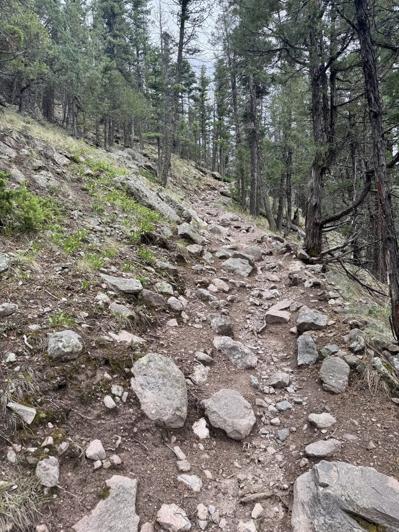
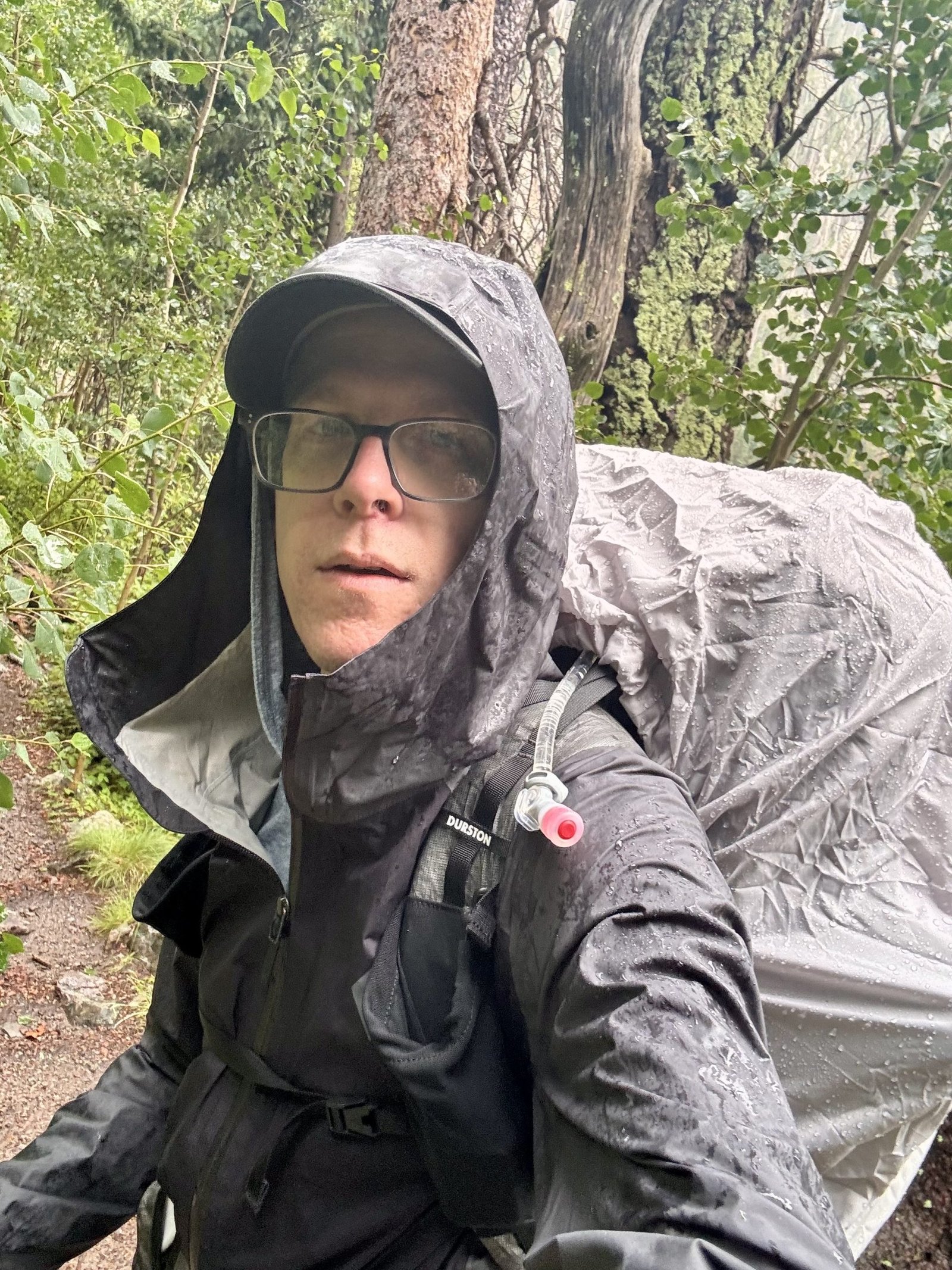
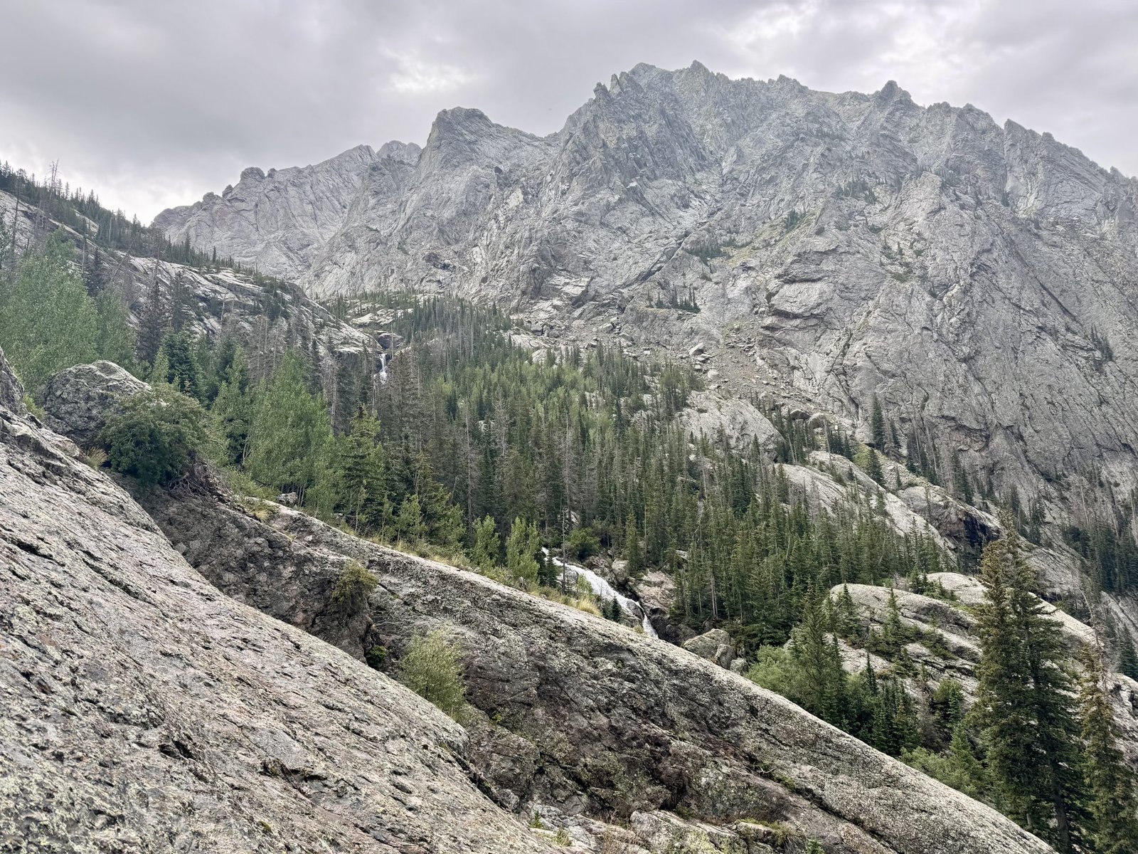
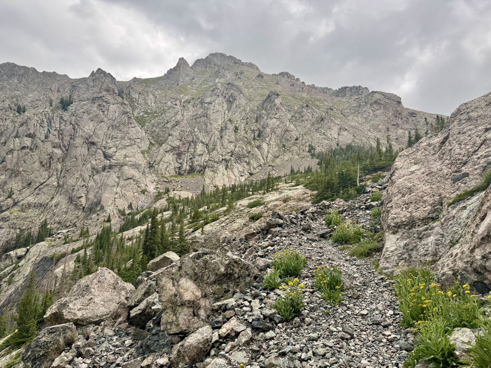
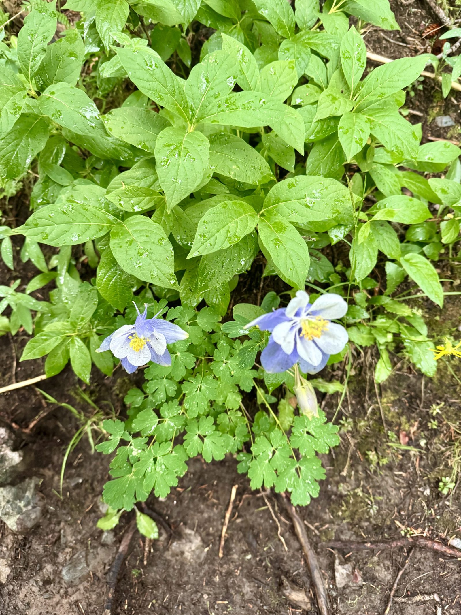
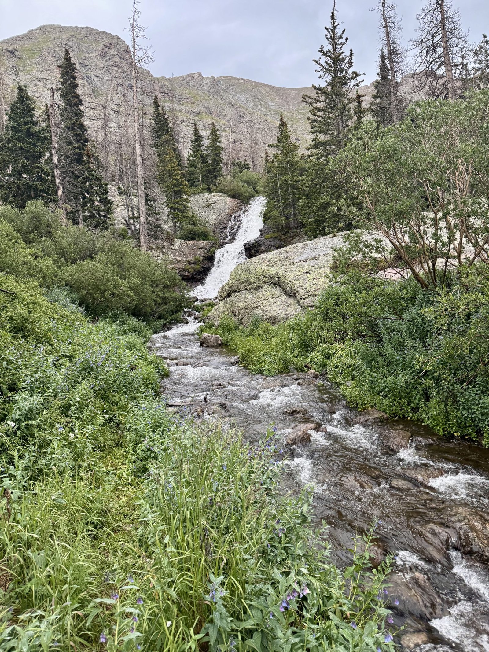
Camping was starting to fill up but I found a good spot that faced the striking cliffs surrounding the basin and got busy with setting up camp and filtering water.
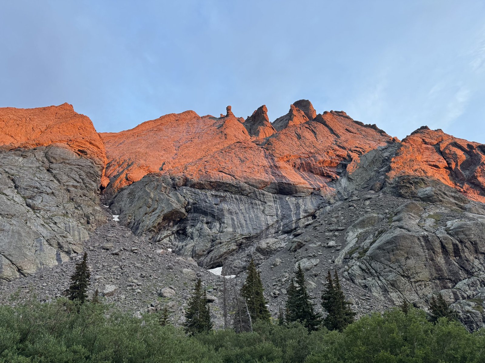
A large group of maybe a dozen young guys from Arkansas I had seen piling out of a huge sprinter van down at the parking lot were straggling into camp carrying a massive tent between them as I did camp chores. One of them was open carrying a pistol on his hip, which seemed like wasted weight to me. Another allowed that they “weren’t exactly expert campers” and asked some general questions about camping etiquette. They stayed up late with a fire going but I fell asleep quickly.
Friday, July 25: #27 Kit Carson Peak (14,167′) and #28 Challenger Point (14,086′)
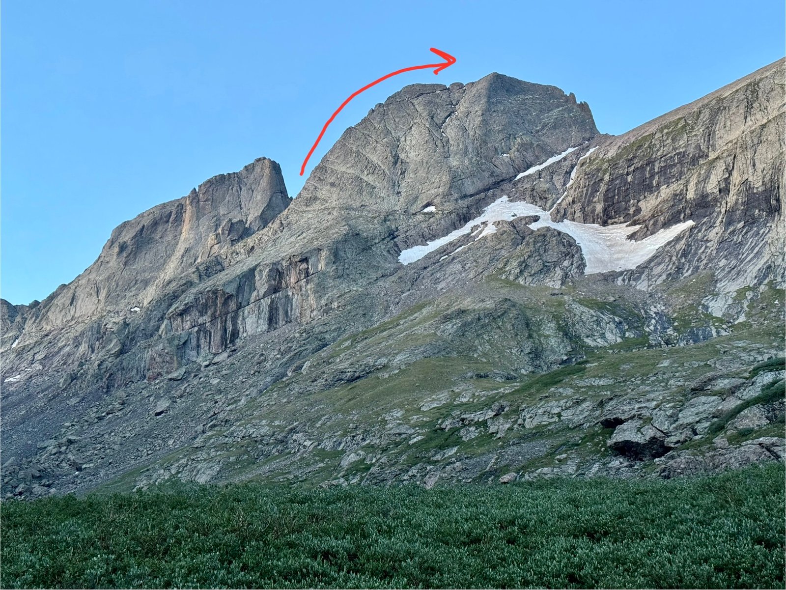
Today was the big day: the North Ridge of Kit Carson. I left camp at 5AM. The first task was to climb up above and around Willow Lake, which we were camped below. Above the lake, the standard Challenger Point trail splits off to the right while the route to the North Ridge continues overland through the basin. I reached the split in about 40 minutes.
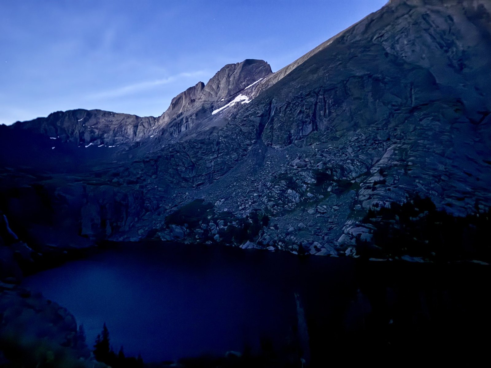
There’s a faint trail through the basin at first but it soon peters out and you are left to pick your own way across the willows and rock fields.
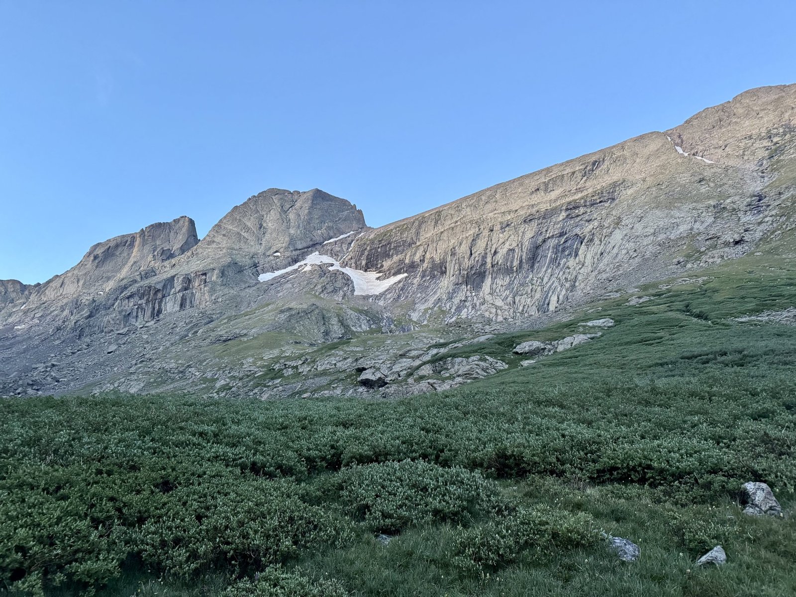
I decided my goal was to avoid the willows, which pushed me high and right in the basin and I made decent time.
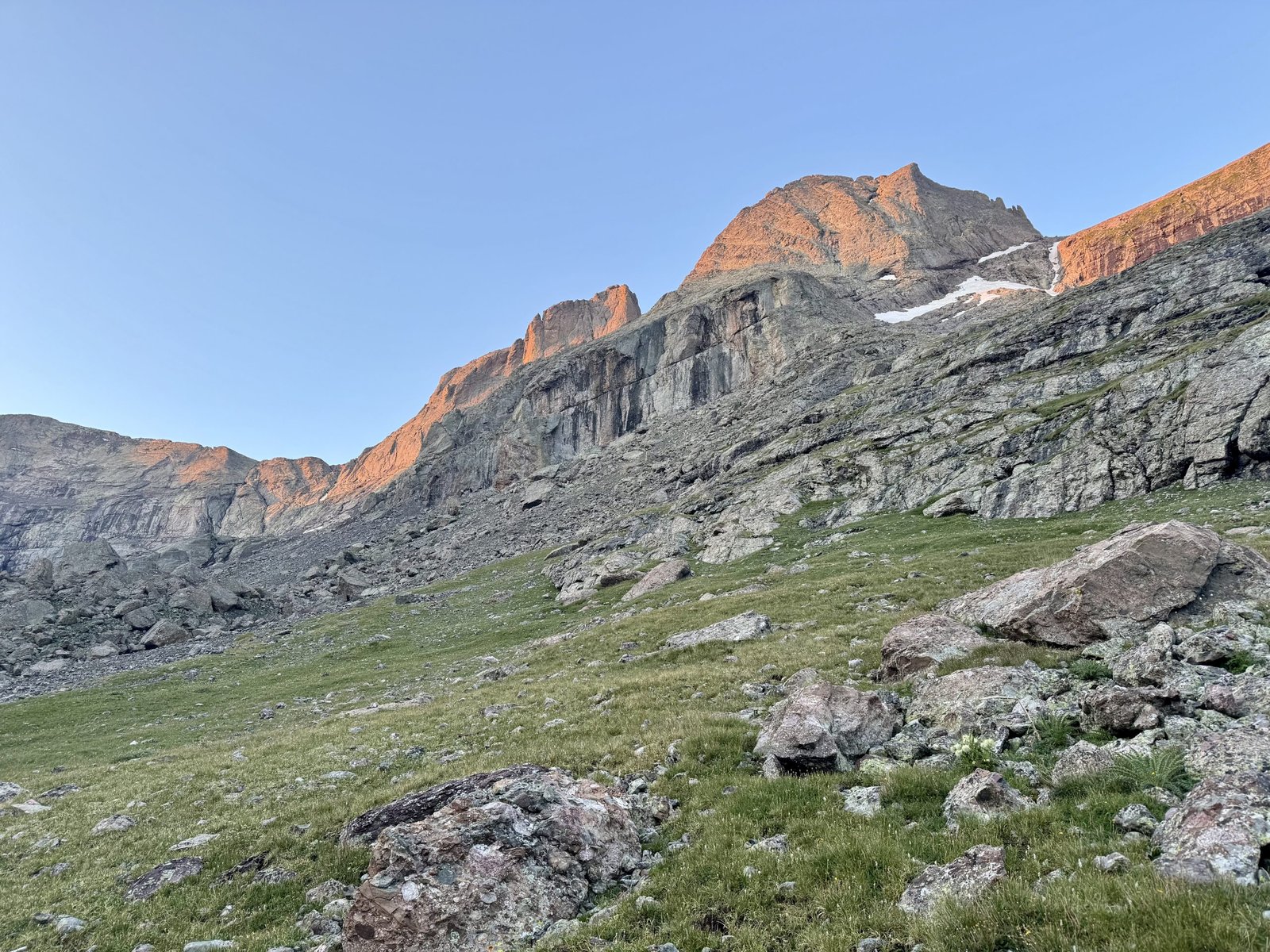
Your goal is to pass below the black cliffs above center before turning right towards the ridge. This took me about another 40 minutes from leaving the standard trail.
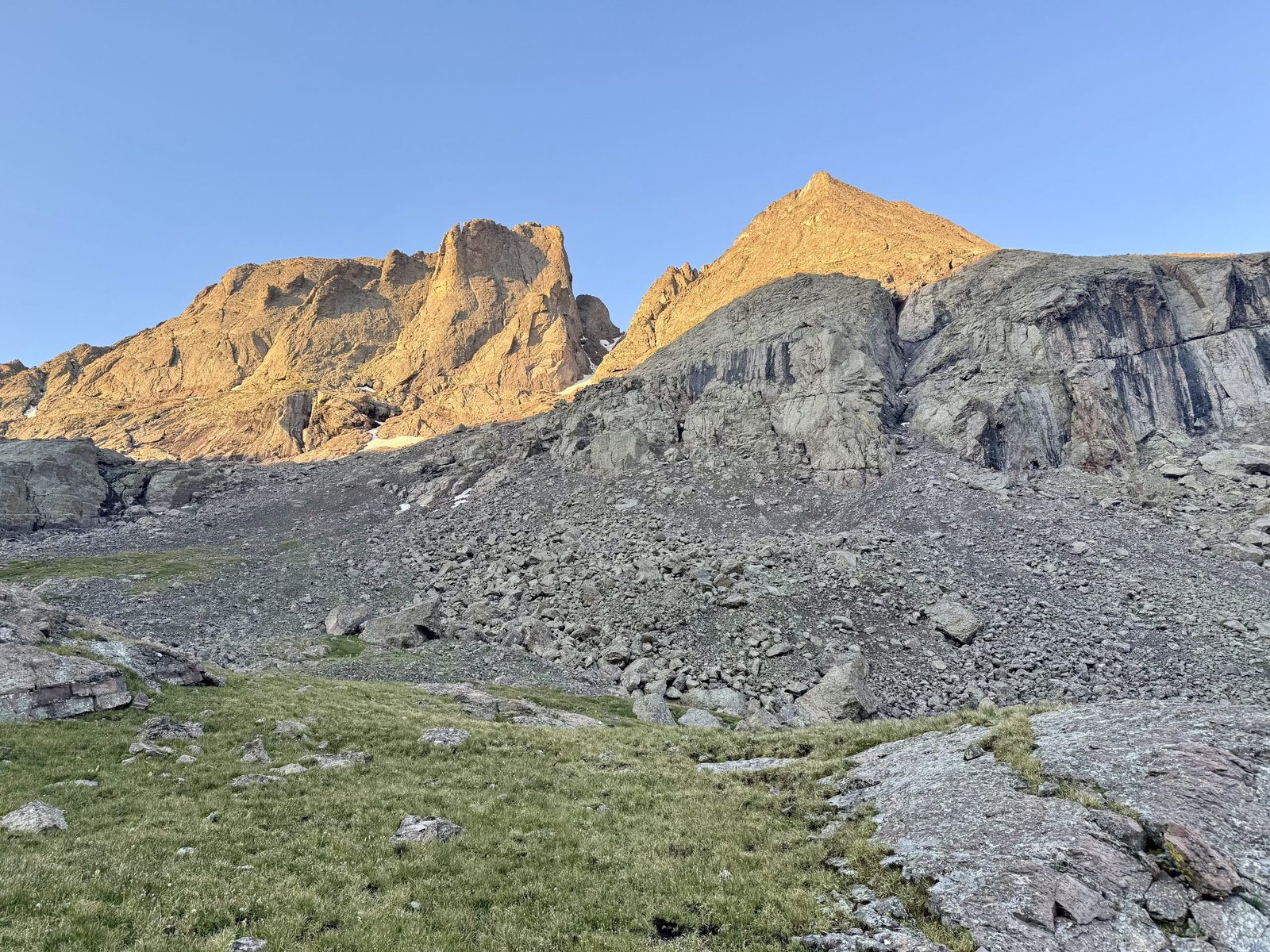
Once you round the cliffs, the Outward Bound (OB) Couloir comes into view. Your next goal is to head towards the couloir to clear the cliffs vertically.
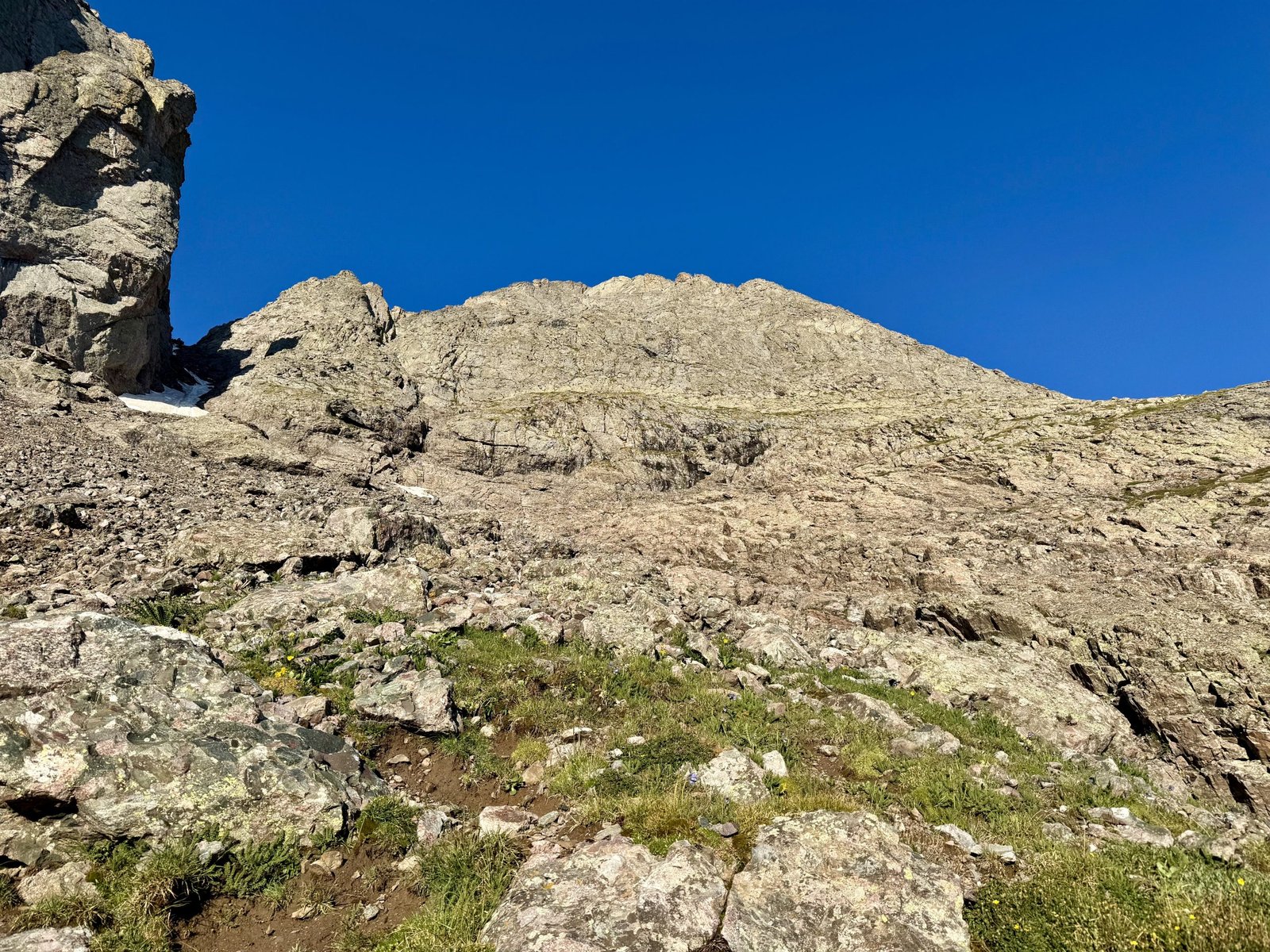
Once you pass the cliffs, a grassy ledge system comes into view to right and leads you to the ridge proper. The skyline is the ridge and the low point is your access, around 13,000′. I hit this point around 7:15 AM, over two hours after leaving camp.
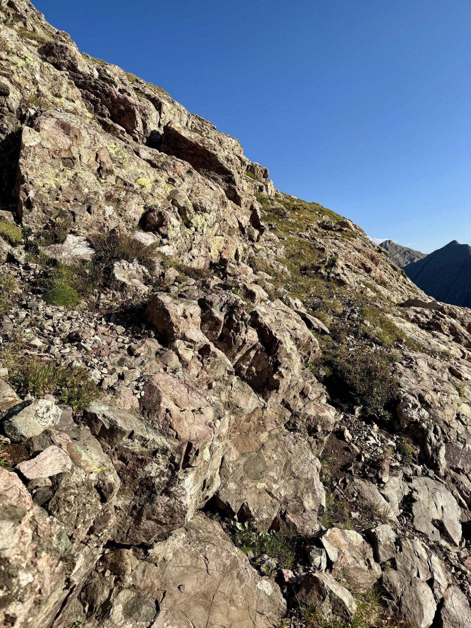
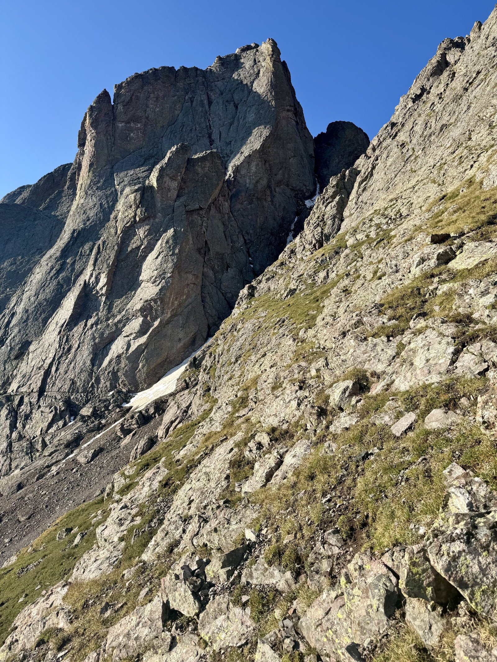
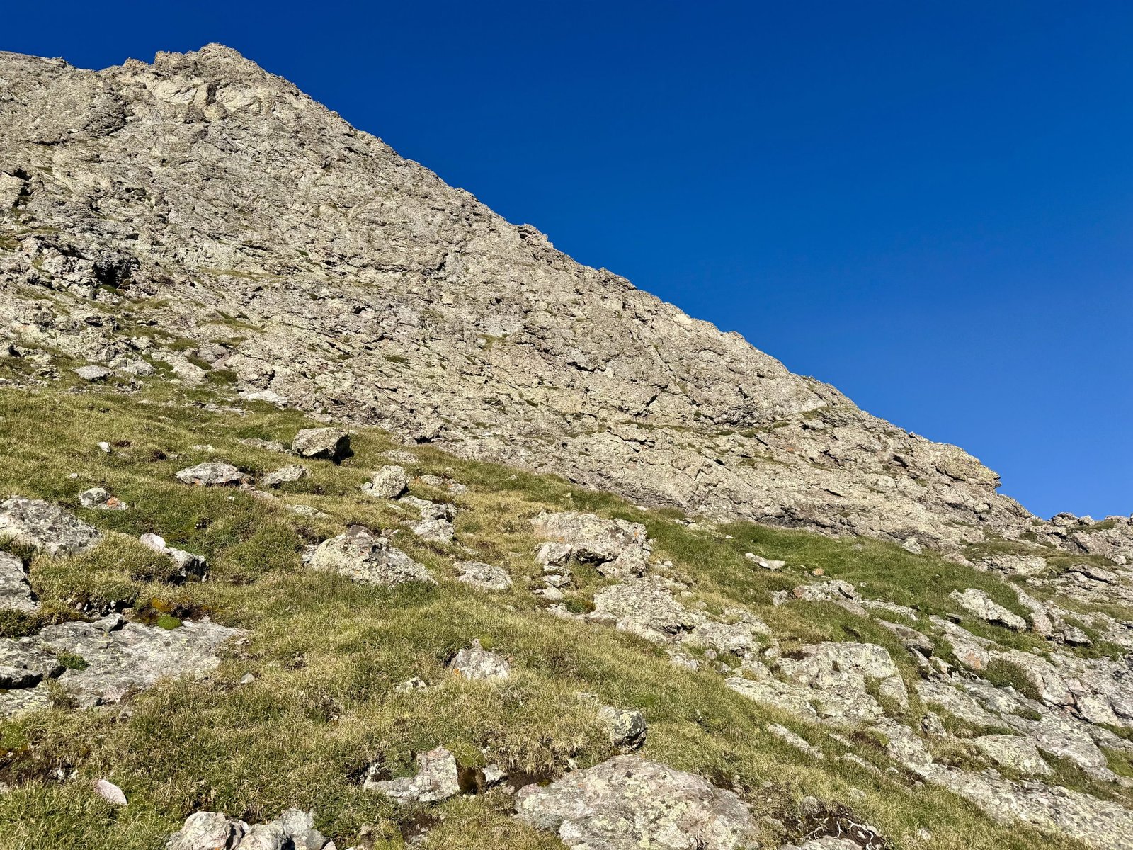
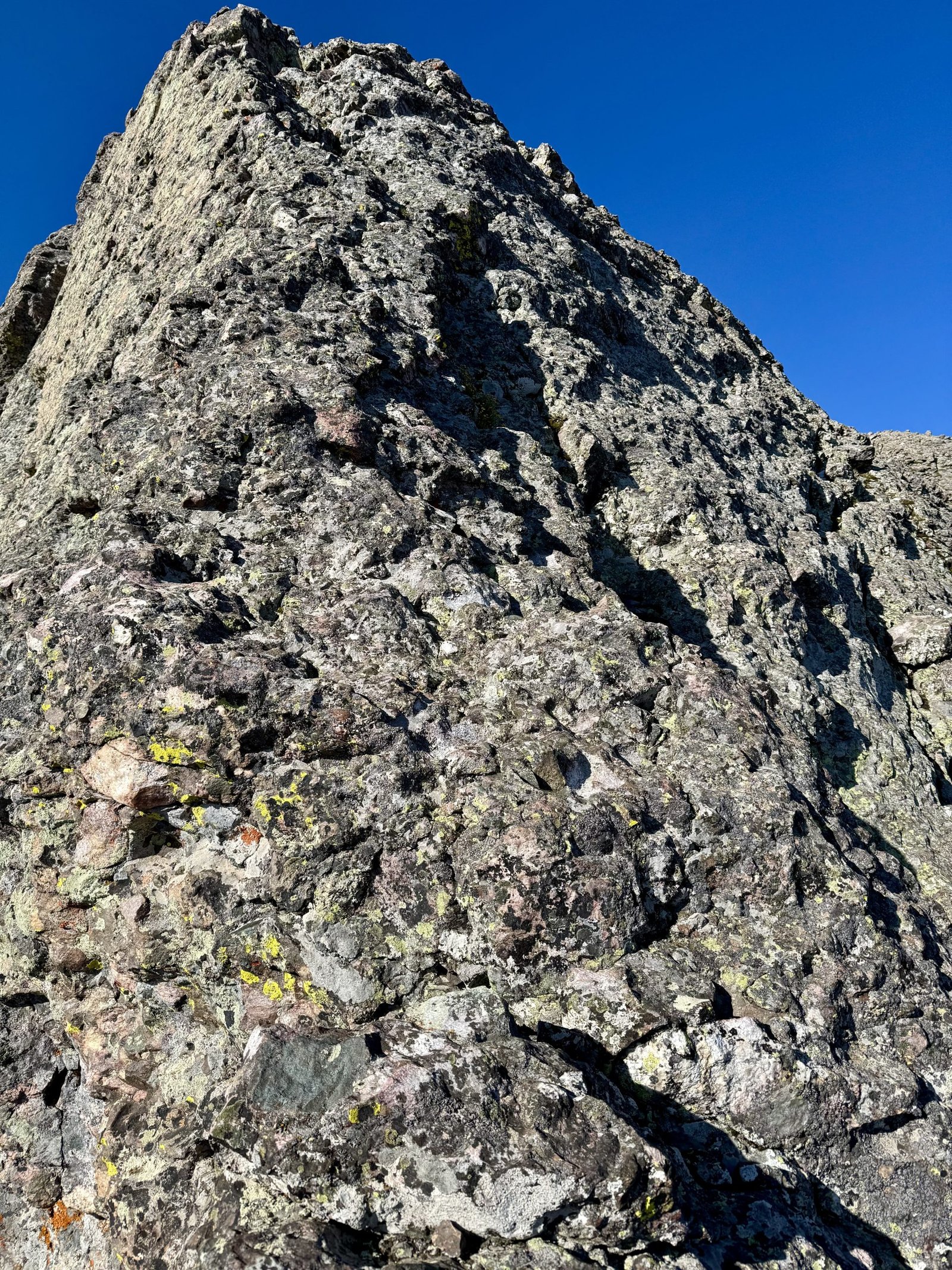
Around 7:30AM, I was finally on the ridge proper. It is immediately steep and exposed and proceeds straight up for 1,000′.
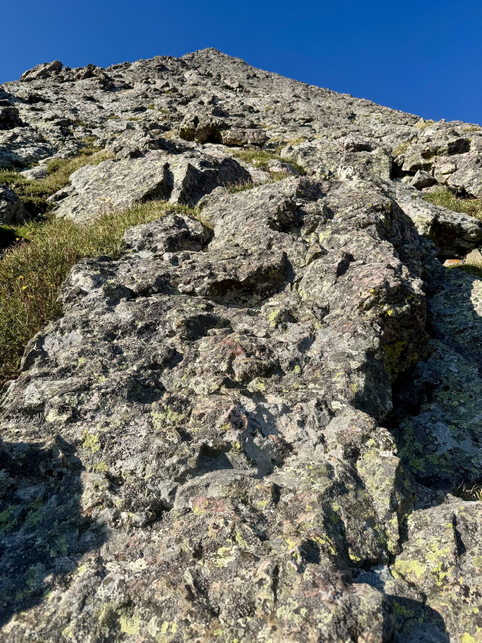
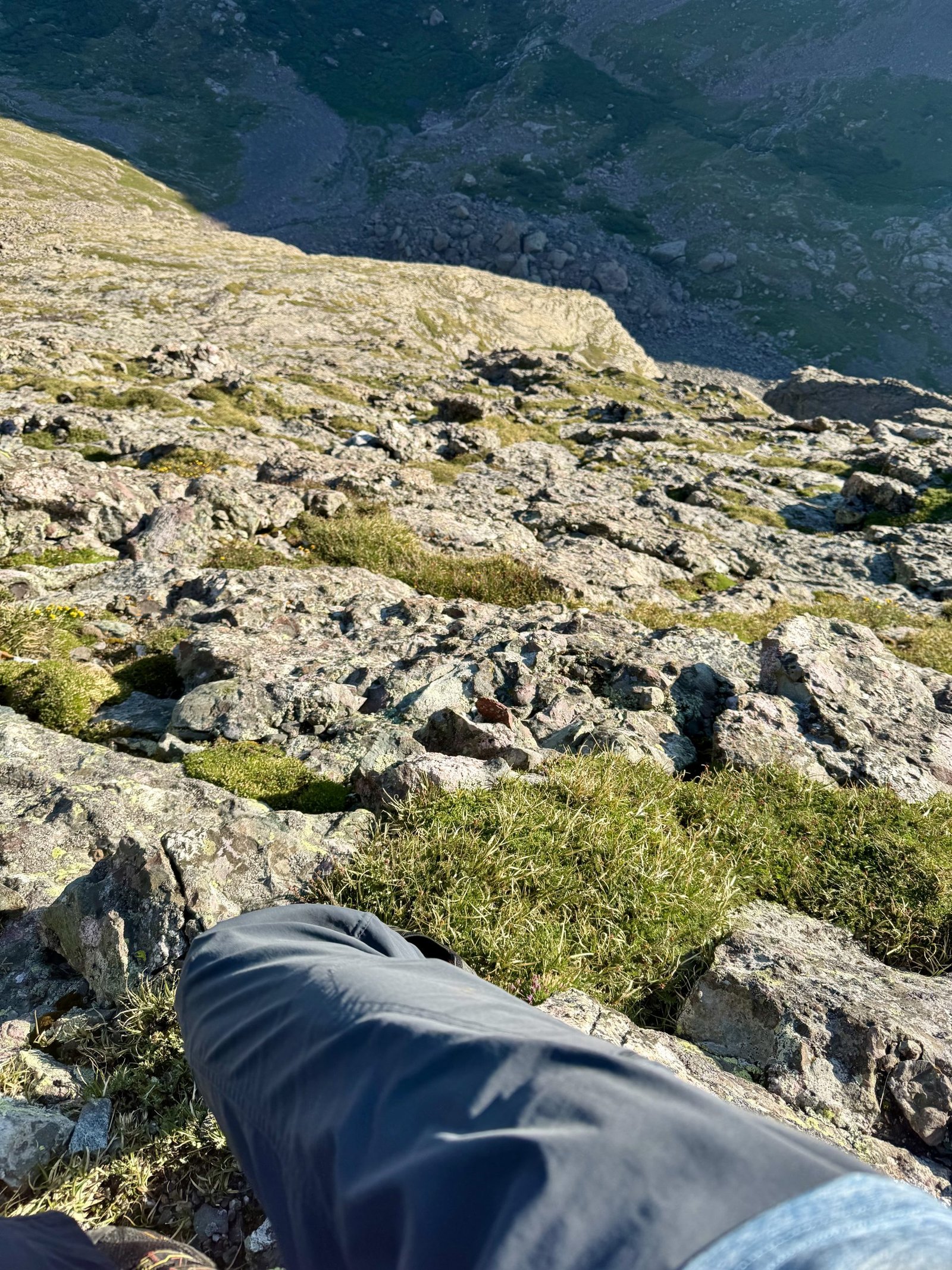
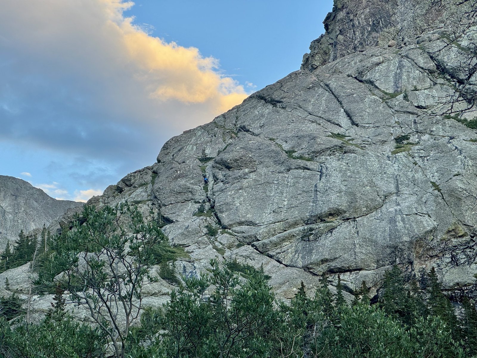
This is a tremendous climbing route. The rock is excellent: mostly solid and very knobby, with plenty of features for foot and handholds. Even so, the sheer steepness took me aback in a few places. The exposure behind me didn’t so much bother me; it was more the vertical nature of some of the climbing moves while knowing what was (or wasn’t) at my back. I favored the right side of the ridge, near the crest, where I found the climbing a little easier.
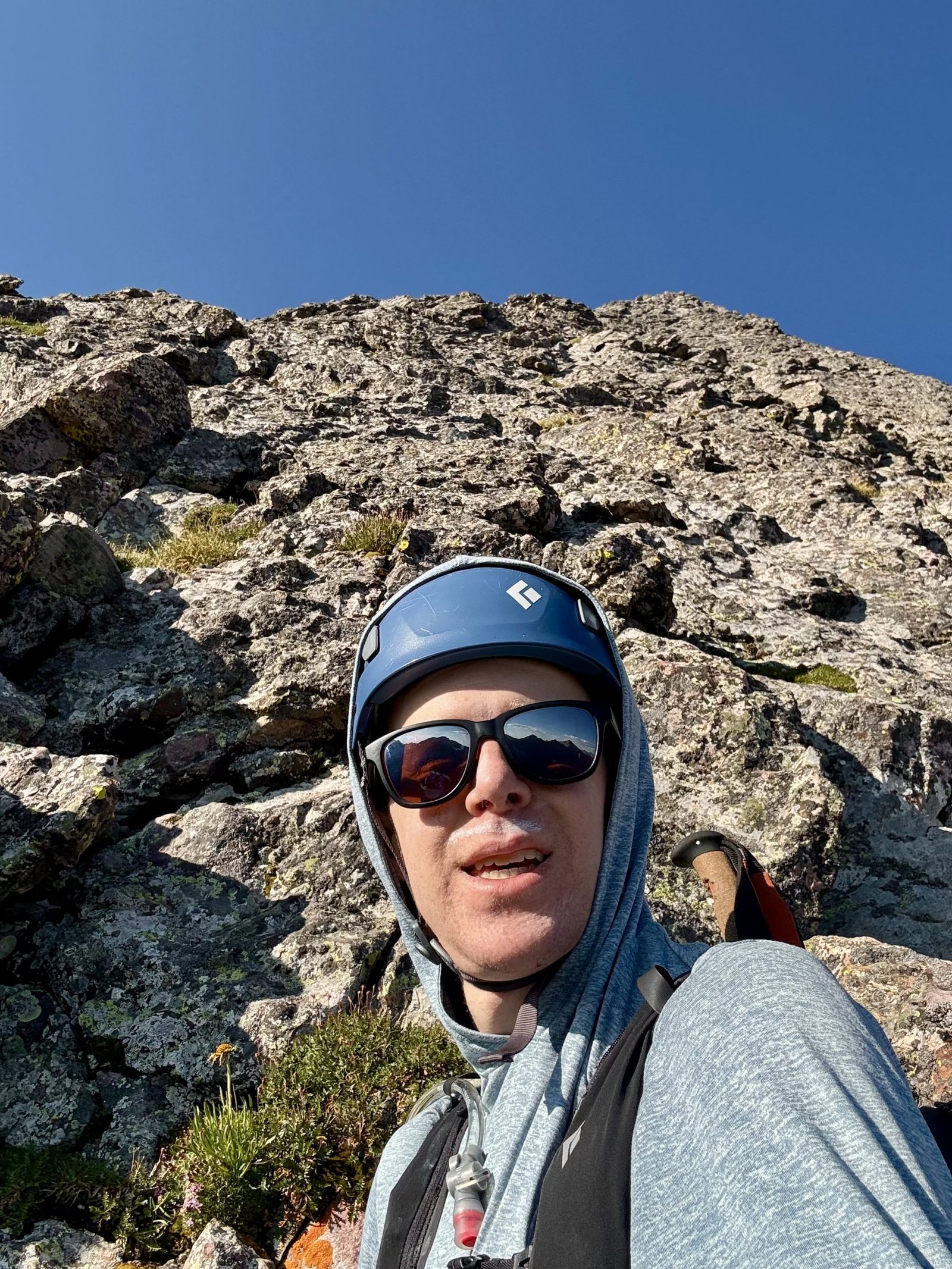
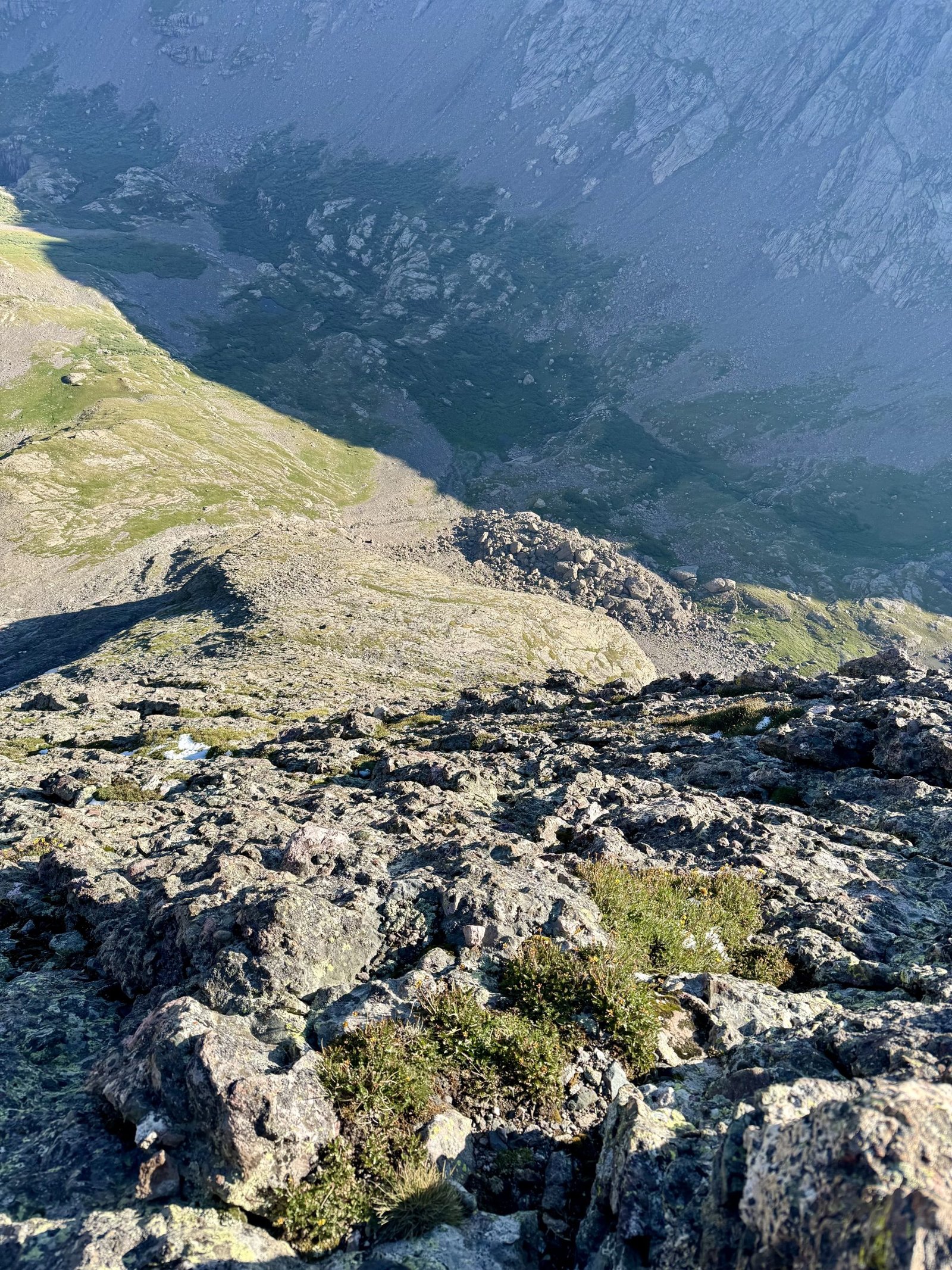
On the plus side, once you get to the ridge there’s basically no route-finding required: just go up. The climbing is solidly class 4 but there’s little danger of climbing yourself into impassible terrain or cliffing out.
Closer to the top, the climbing eases slightly and several potential “off-ramps” from the ridge start to appear. I stuck to the ridge proper all the way to the summit.
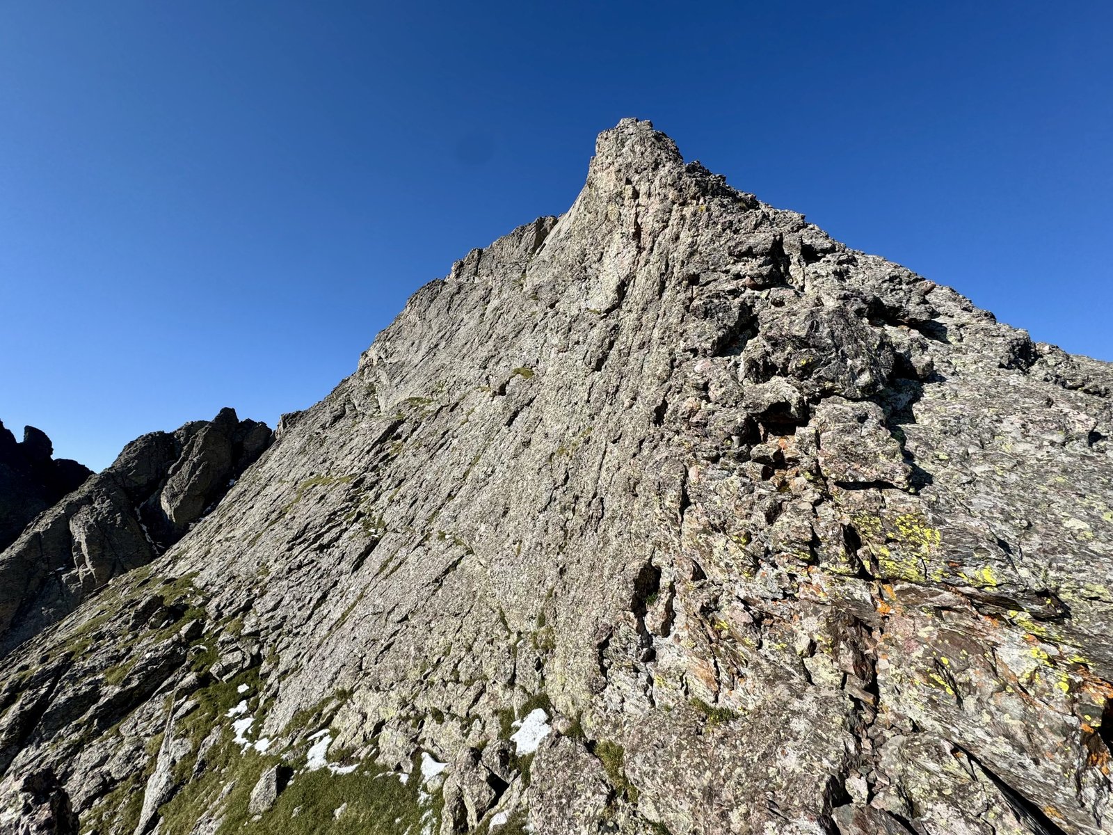
Somewhere on this final pitch I had my one nervous moment for the day, as a foot slipped and I was stuck holding an awkward position for a few seconds while I searched for a foothold. A fall wouldn’t quite have sent me into thin air, but it wouldn’t have been good. It was 5 or 10 seconds of awkward repositioning and holding my weight with my arms before I was secure again.
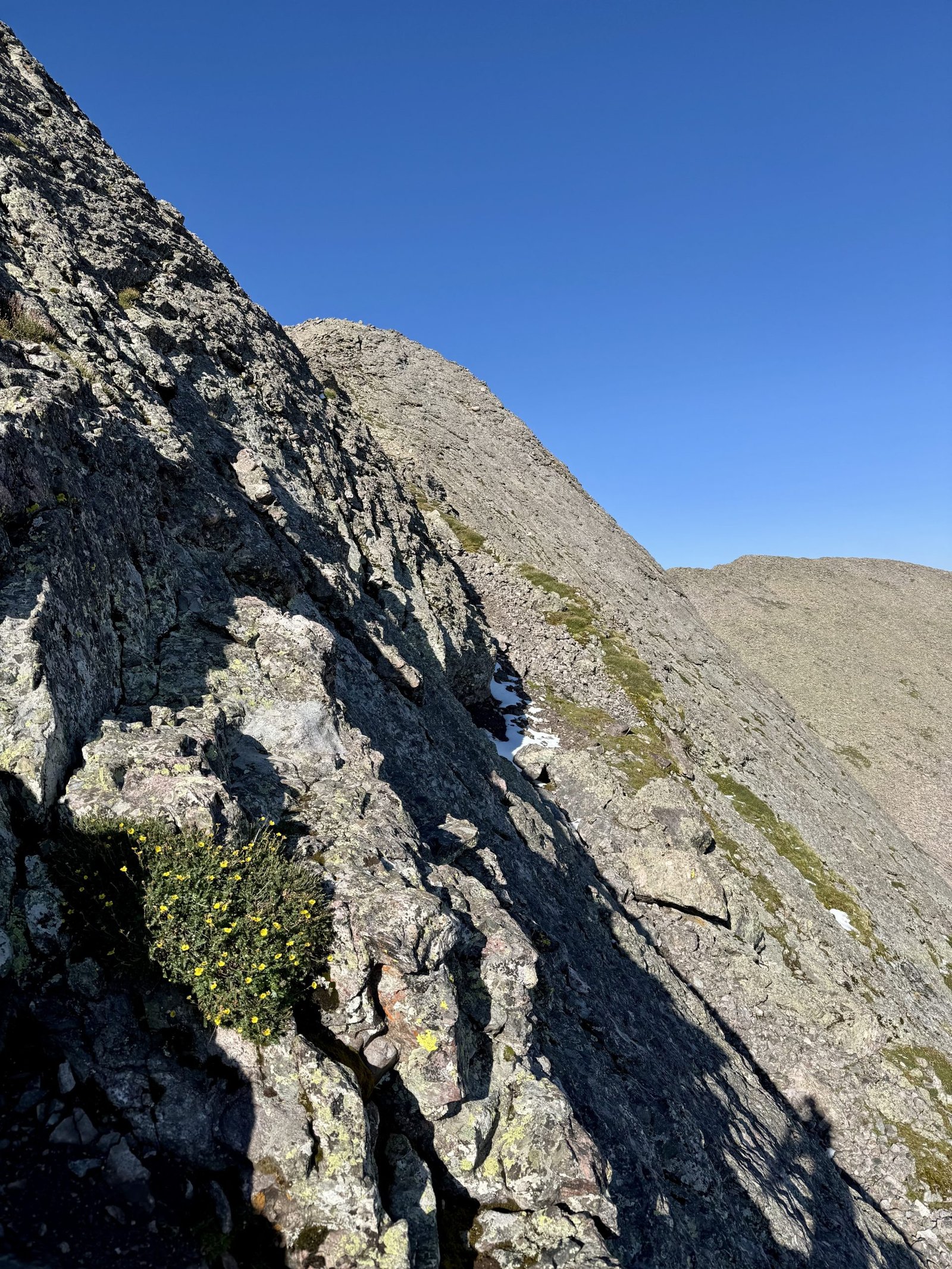
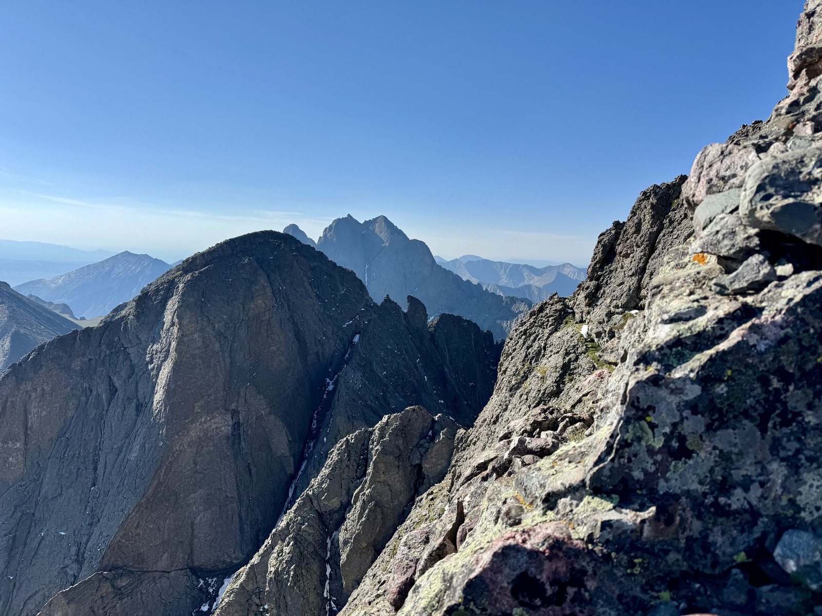
I hit the flattening ridge crest right around the time my firm’s morning meeting was starting, at 8:30 AM MT (9:30 CT) and I happened to have good cell service so I hopped on the Zoom call from 14,000′ and said hi to my coworkers. Then I hiked the last hundred feet to the summit, arriving at 8:45 AM. The ridge itself took me a little over an hour, probably closer to an hour flat without the Zoom break.
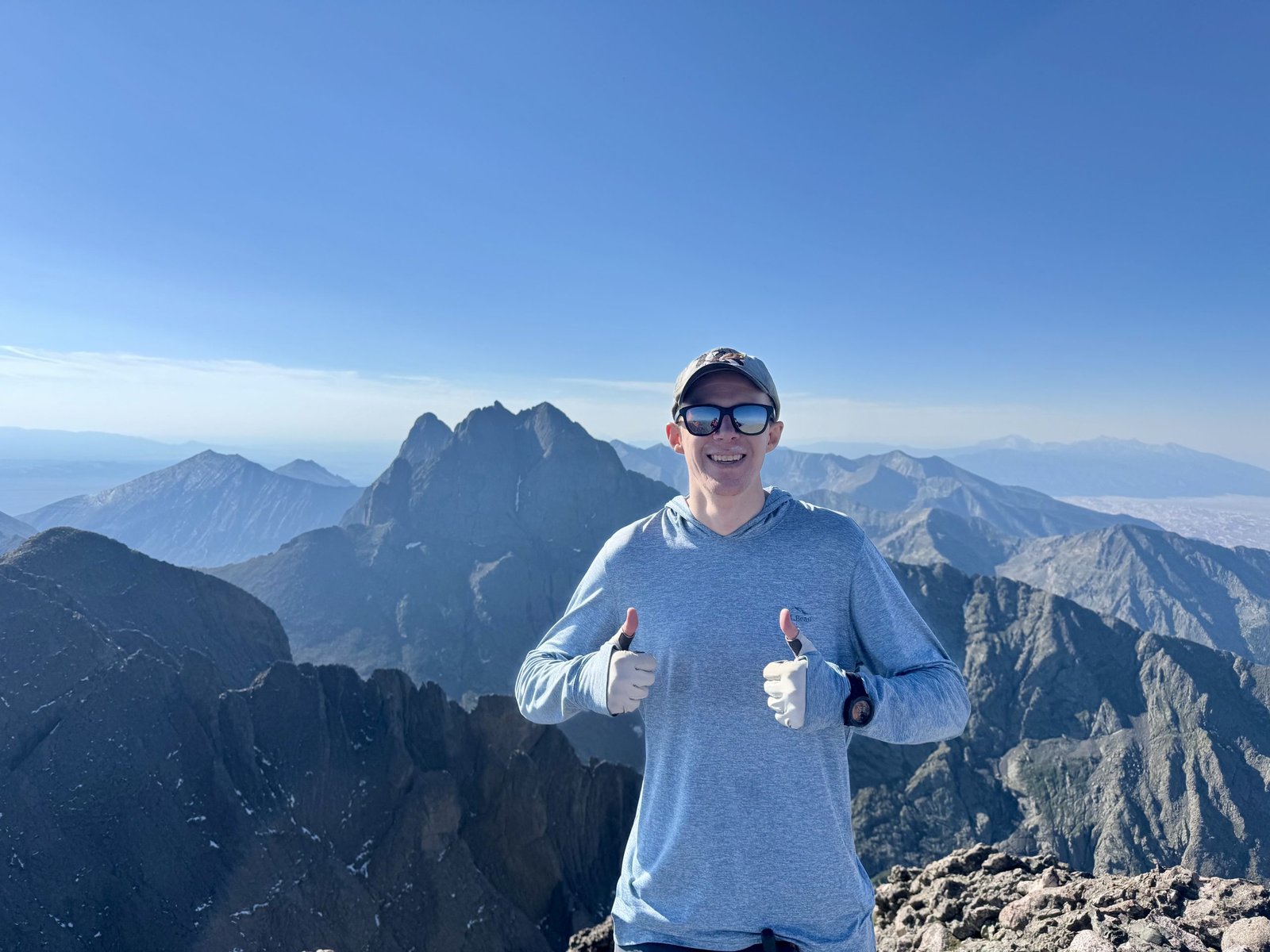
Another pair of climbers was on the summit, having come the standard route over Challenger Point. From Kit Carson, the return path is back over Challenger Point, which worked for me since I hadn’t climbed it yet.
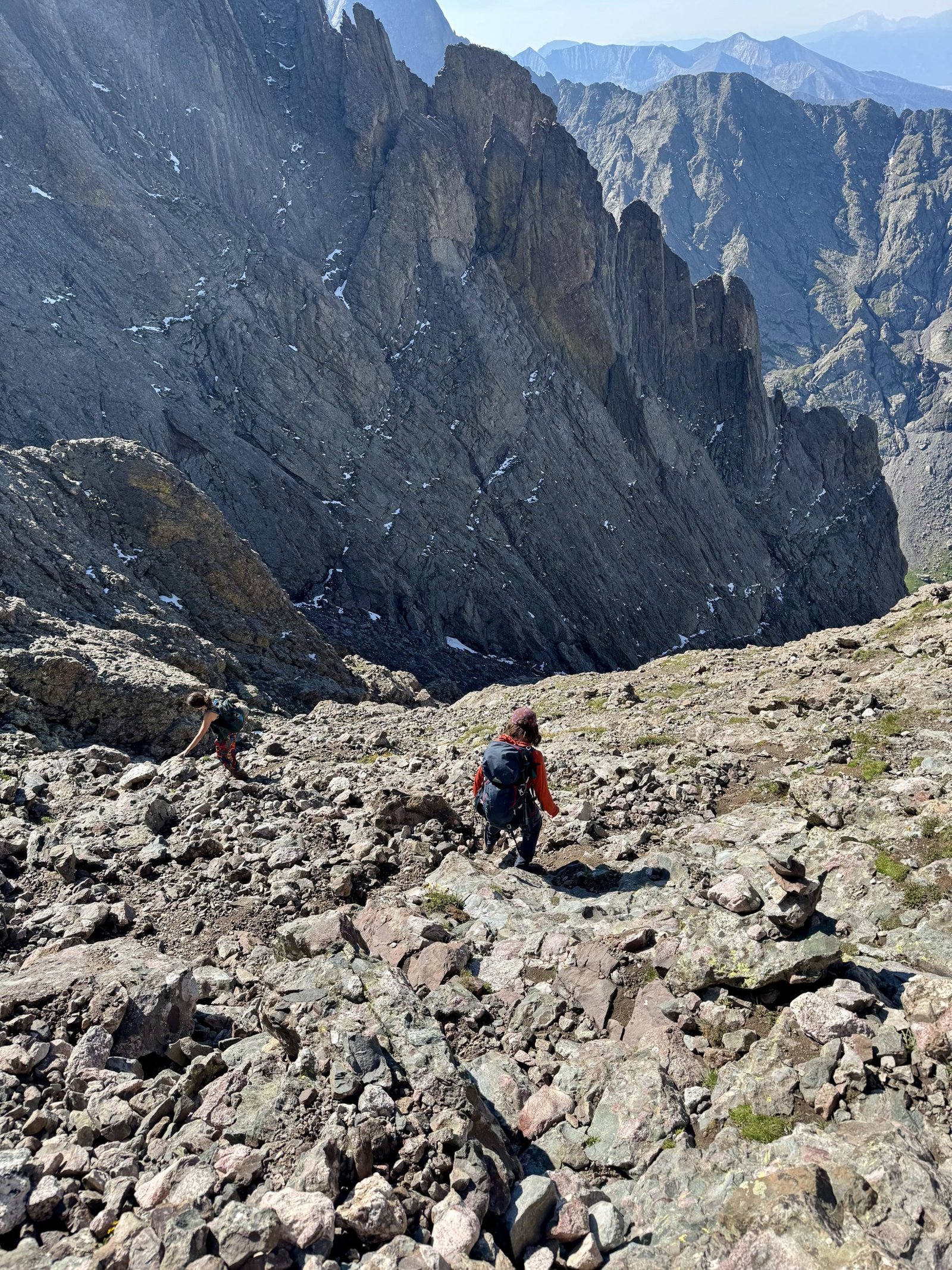
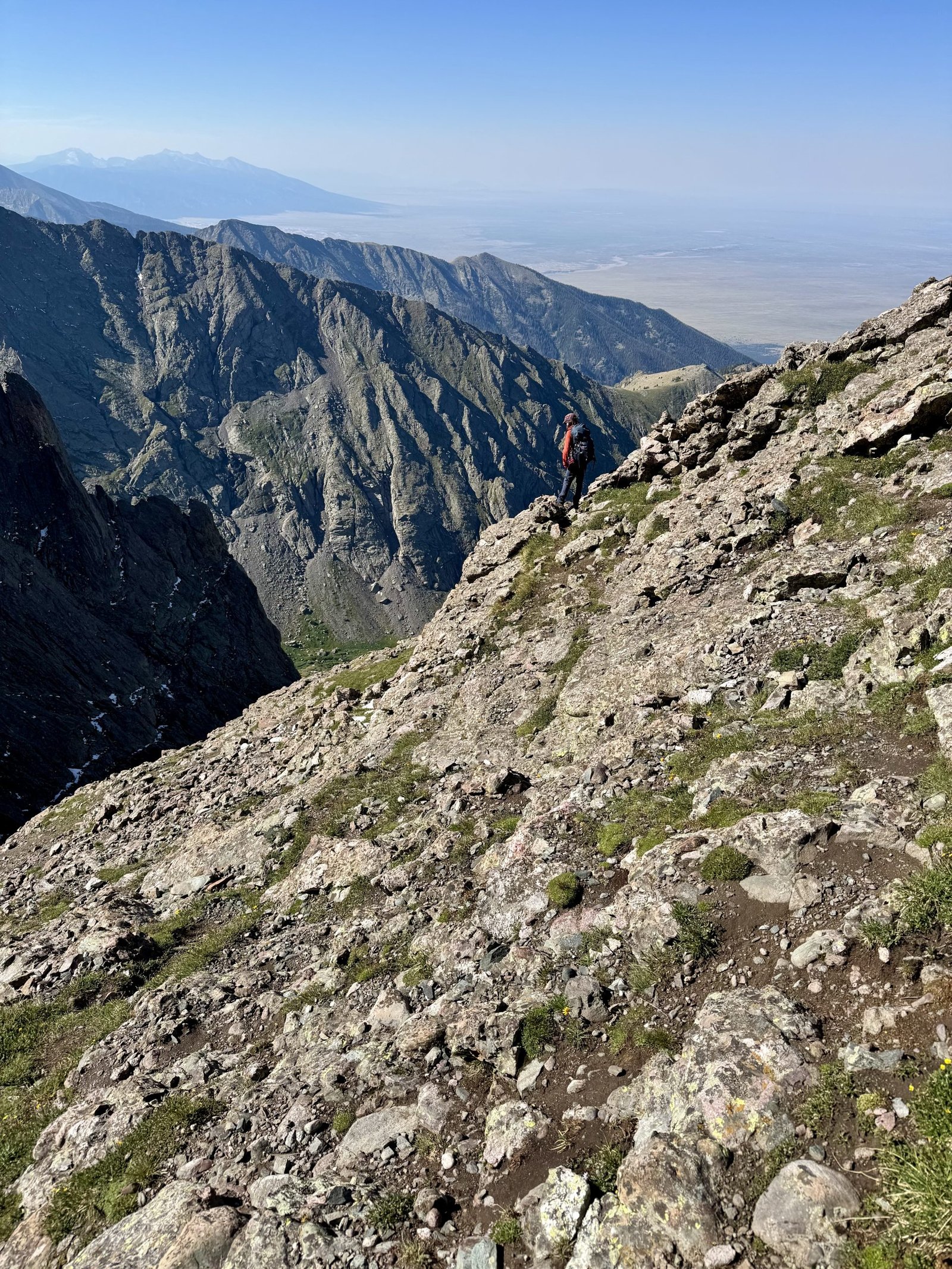
Kit Carson and Challenger are connected by a narrow ledge that runs along Kit Carson below its northwest face, called Kit Carson Avenue. To find it from Kit Carson’s summit, you descend a steep gully and then hang a right to wrap around onto the Avenue. If you descend too far and miss the turn, the gully turns into sheer cliffs; several climbers have died here by descending too far and becoming trapped or falling down the cliffs below. We were vigilant and found the Avenue turn easily enough.
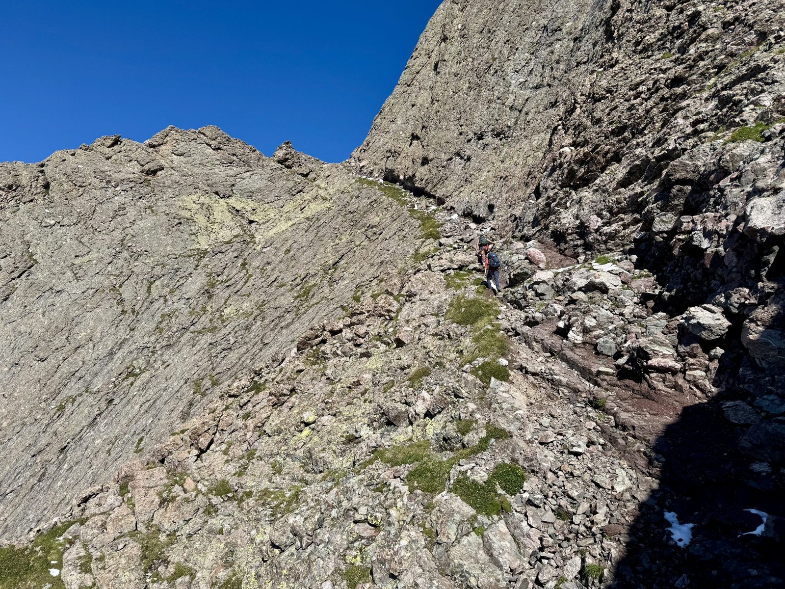
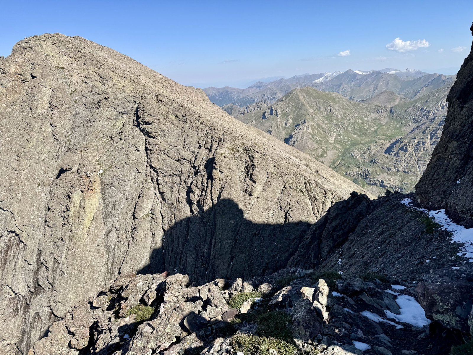
There was a layer of snow lingering on the Avenue closer to Challenger, in the shade of Kit Carson’s northwest face. We crossed without much difficulty.
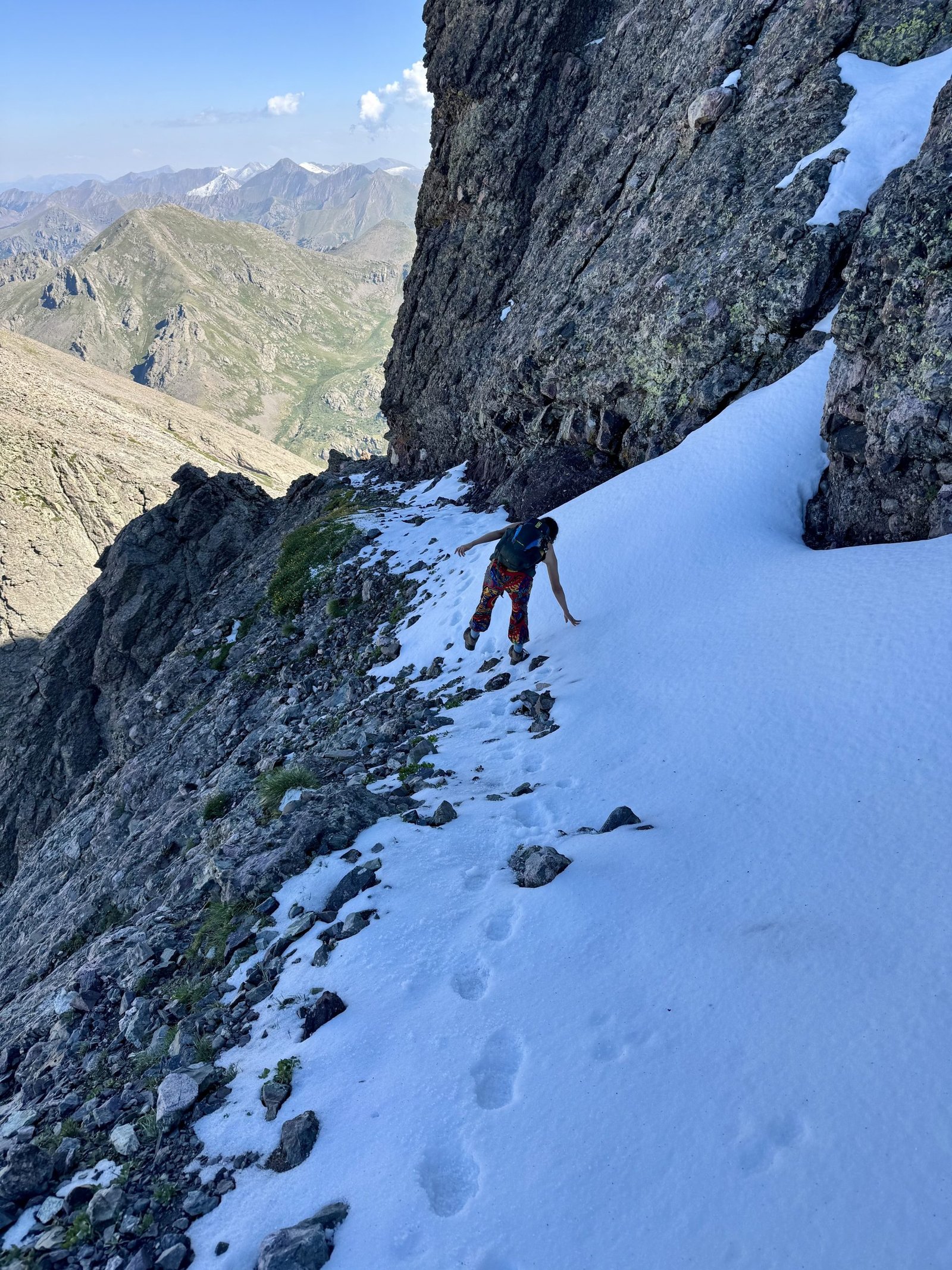
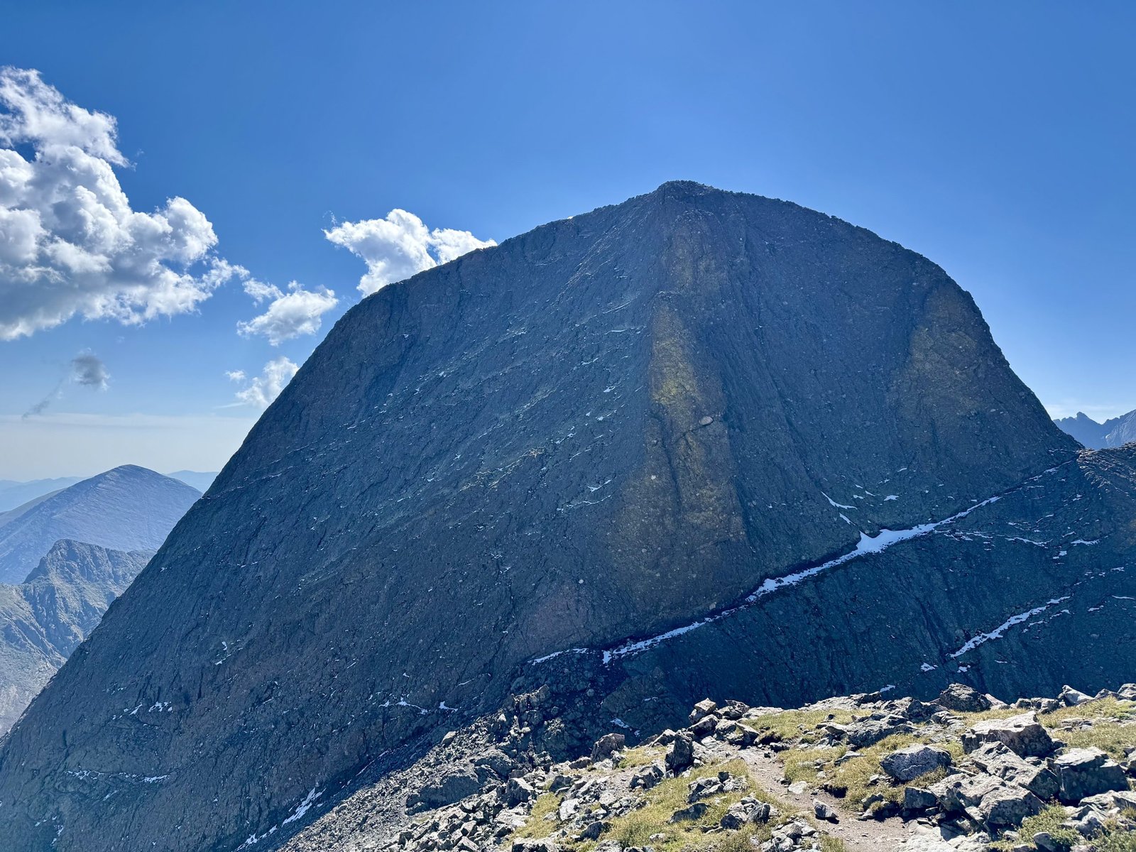
It took about an hour to reach Challenger Point’s summit from Kit Carson and we arrived just after 10 AM.
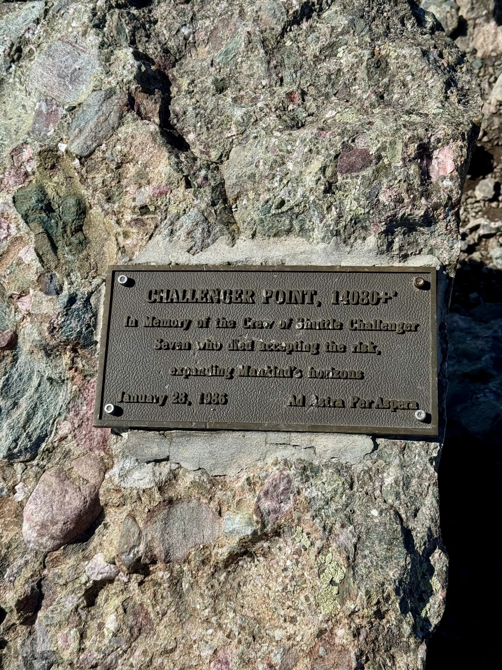
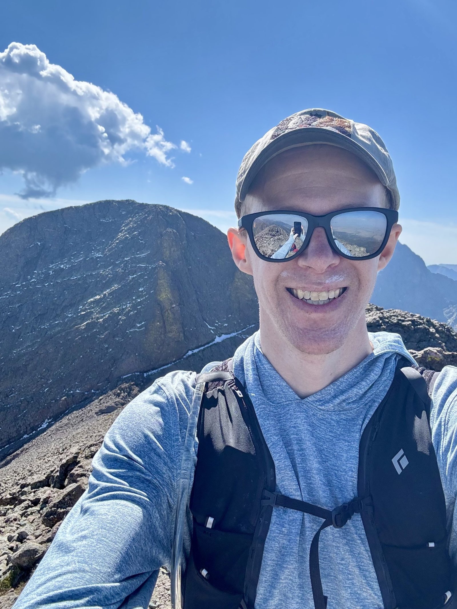
We left the summit around 10:20 AM. Descending Challenger Point was a pain. After following the summit ridge for a ways, you drop into a steep and often loose rock gully. I did not regret climbing the ridge instead of this gully. My Achilles and lower calf began to ache during the descent so I made slow progress limping down.
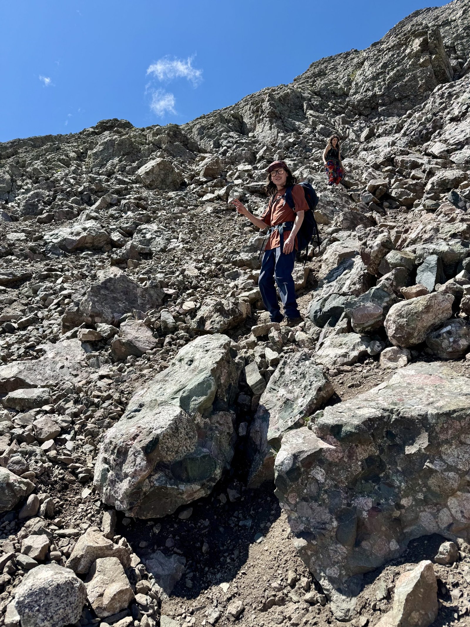
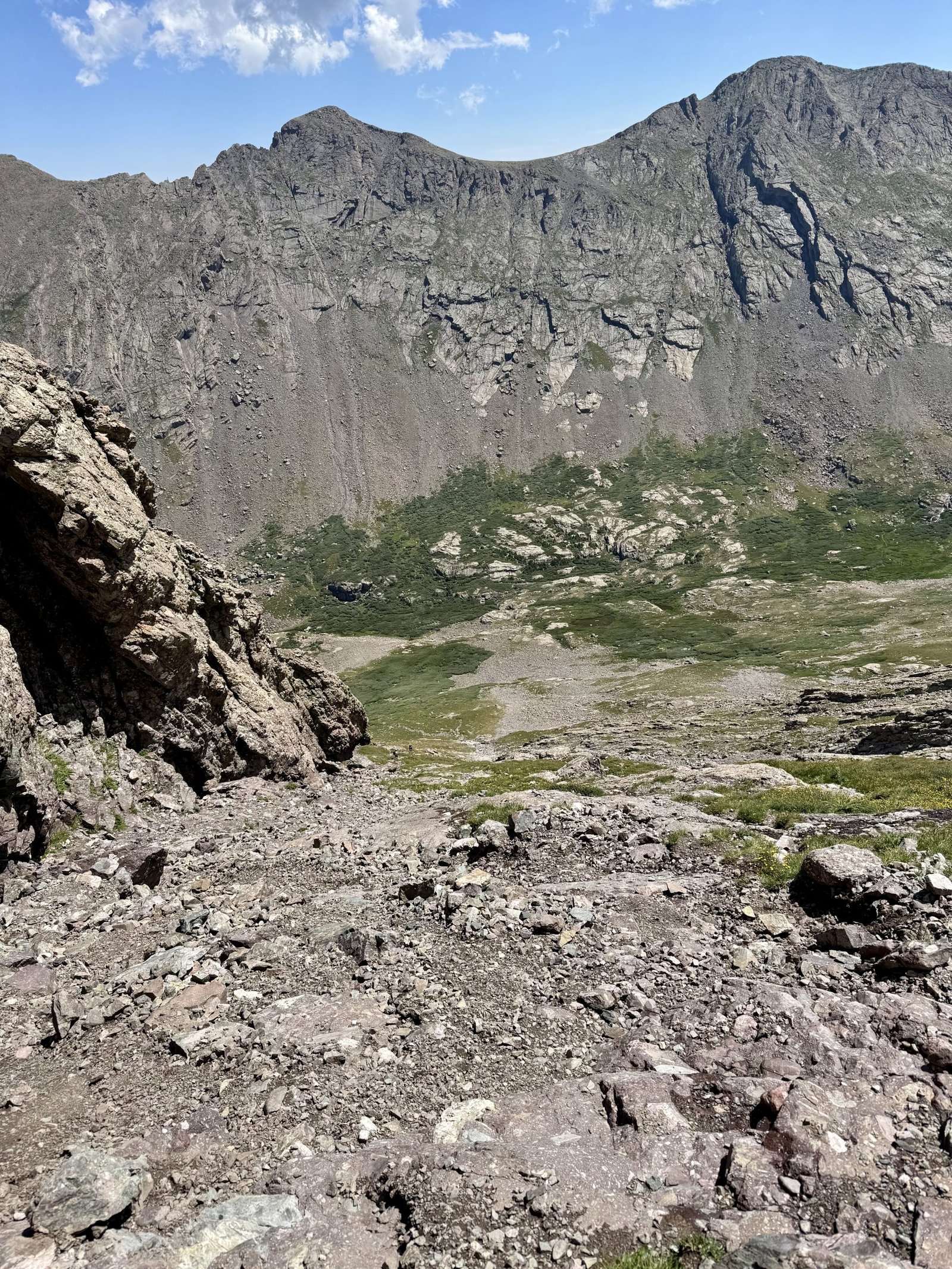
We passed a number of hikers coming up, including members of that large group from Arkansas, most of whom were clearly laboring hard.
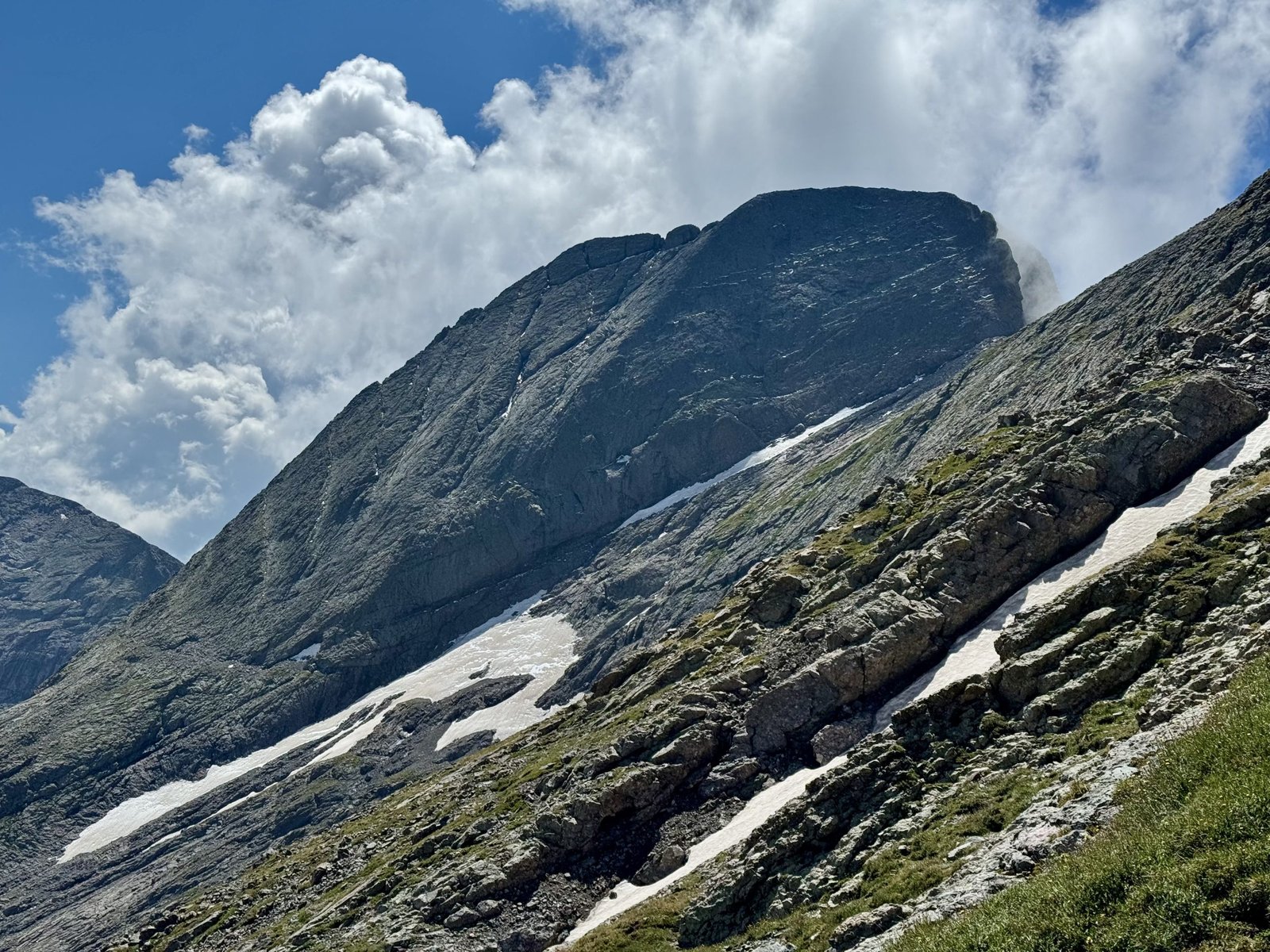
After nearly two hours of painful descent, we were back at the trail split above Willow Lake, where I said goodbye to the pair I had joined on top of Kit Carson. They were hiking all the way out today and returning to Breckenridge so they stopped to filter water, while I was exhausted and hurried onwards to camp to begin lounging around for the rest of the day. I was worried about my Achilles and wanted to give it a rest day to recover before anything else strenuous.
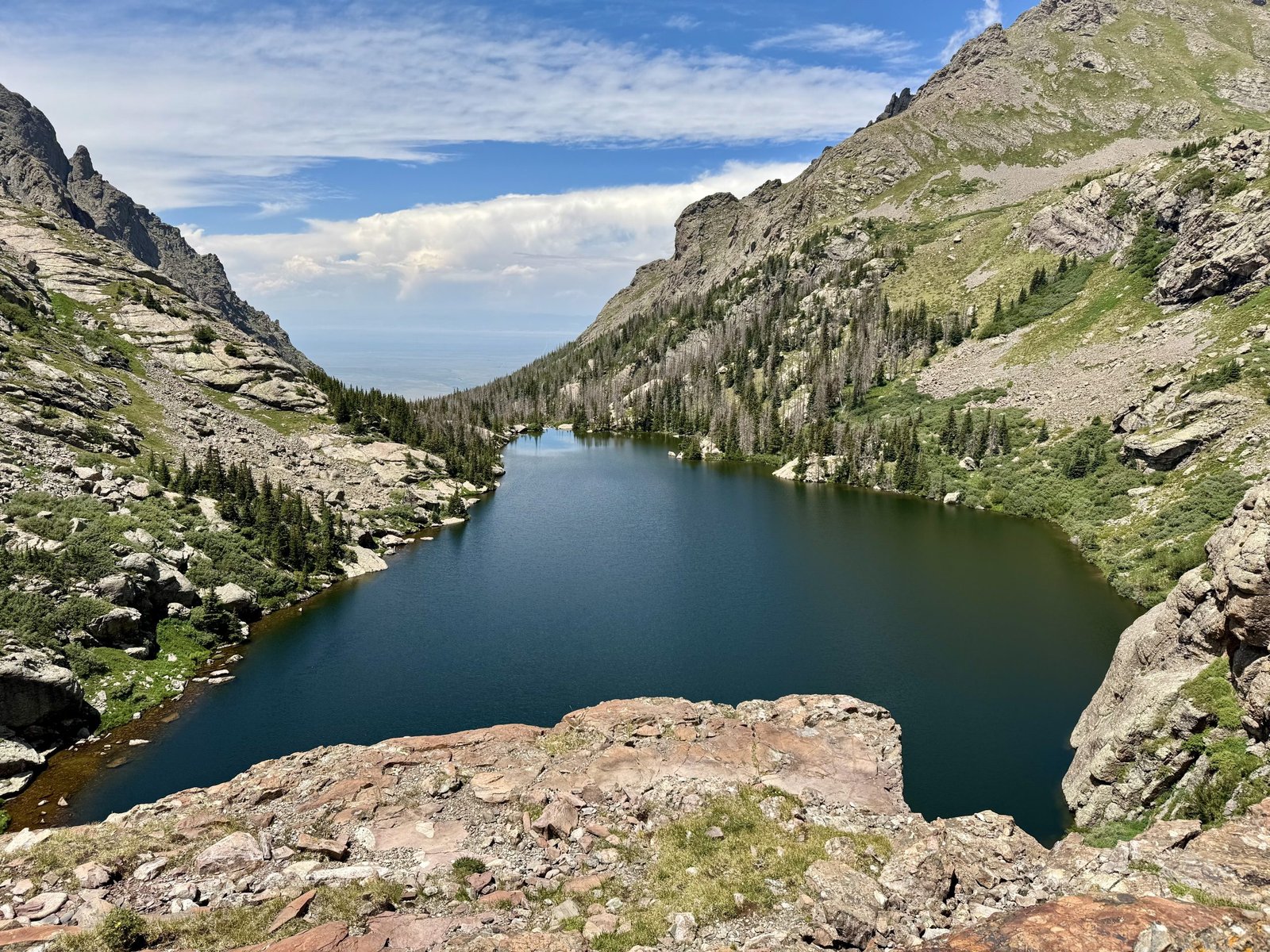
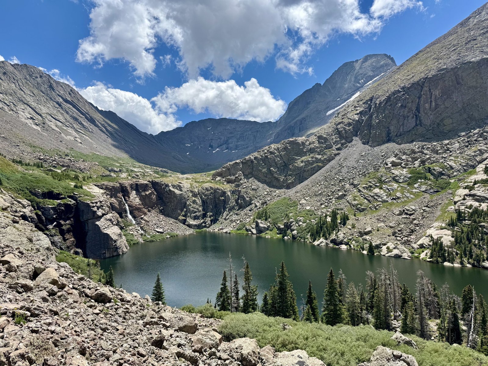
I made it back to camp just before 1PM, for a total trip time of 7h56m to cover 4.9 mi and 3,579′. Were it not for the tedious descent of Challenger, this might have been my favorite day ever in the mountains. The North Ridge lived up to all the hype and remains the finest climbing route I have taken. I laid around camp resting my feet and Achilles, devouring the rest of my food, reading book #2 for the trip (Cormac McCarthy’s No Country For Old Men), and watching a pair of kids explore one of the nearby rocky slopes.
The campsites were filling up quickly for the weekend. A young guy approached me to introduce himself and warn me that he and “a group of 10-12 kinda rowdy guys” were camped nearby and might be doing a little partying this weekend and that I should feel free to come join them or tell them to shut up as I preferred. I asked if he was part of the group from Arkansas I had already met. He said no, they were a different group of a dozen rowdy young guys. I thanked him for the heads-up. I did not have any trouble falling asleep that night.
Saturday, July 26
I was lucky with a perfect forecast day yesterday for the ridge, and the rest of the weekend was supposed to be just as good. I didn’t want to waste the good weather so I planned to try to hit Crestone Needle tomorrow, which meant I had a long day ahead of me today. I broke camp and hit the trail at 9:45AM. I was relieved that my Achilles and calf felt basically normal after less than a day of rest.
It took me two hours to hike the four miles and 3,000′ down to the car. I was back in the town of Crestone just in time for another burger and coffee at Our Food Is Art, and by 2PM I was hiking up the Cottonwood Creek trail just outside Crestone.
The Cottonwood approach is not the standard approach to Crestone Peak and Needle—that would be the South Colony Lakes approach, from the east—but I was on the west side of the Sangres after leaving Willow Lake and I had enjoyed the Cottonwood approach last year. Maybe as both cause and effect of not being the standard route, the trail is difficult to follow in places and requires some brief scrambling across slabs and up chimneys that can be awkward with a heavy backpack. Gerry Roach calls it an “arduous approach…a wonderful alternative to the crowded South Colony Lakes approach…[i]f you have the energy.” I did, but just barely.
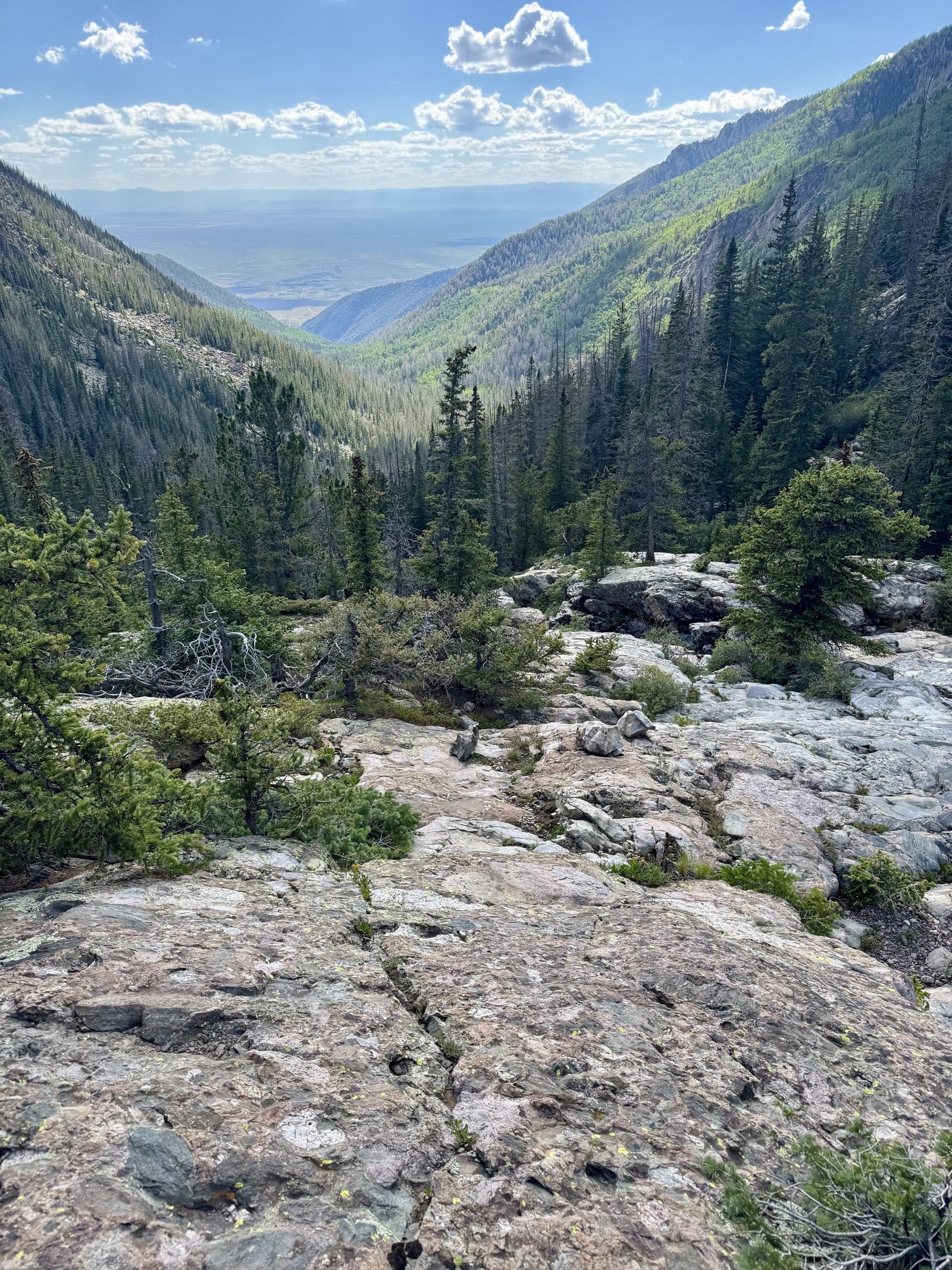
With a 2PM start, it was very hot at the start of the trail at 8,400′, just barely off the floor of the San Luis Valley. I made slow progress, stopping for rest breaks nearly every time I hit a patch of shade. To speed up the grueling approach I put on a podcast from my phone speakers without headphones, pausing it the handful of times I met another hiker (or whenever I lost the trail and needed to concentrate on finding it again) and passed the time listening to college football previews. I made slow but steady progress and eventually found myself in a familiar meadow at 11,800′ below the Crestones around 6:15PM, covering the 4.4 mile, 4,314′ approach in 4h15m.
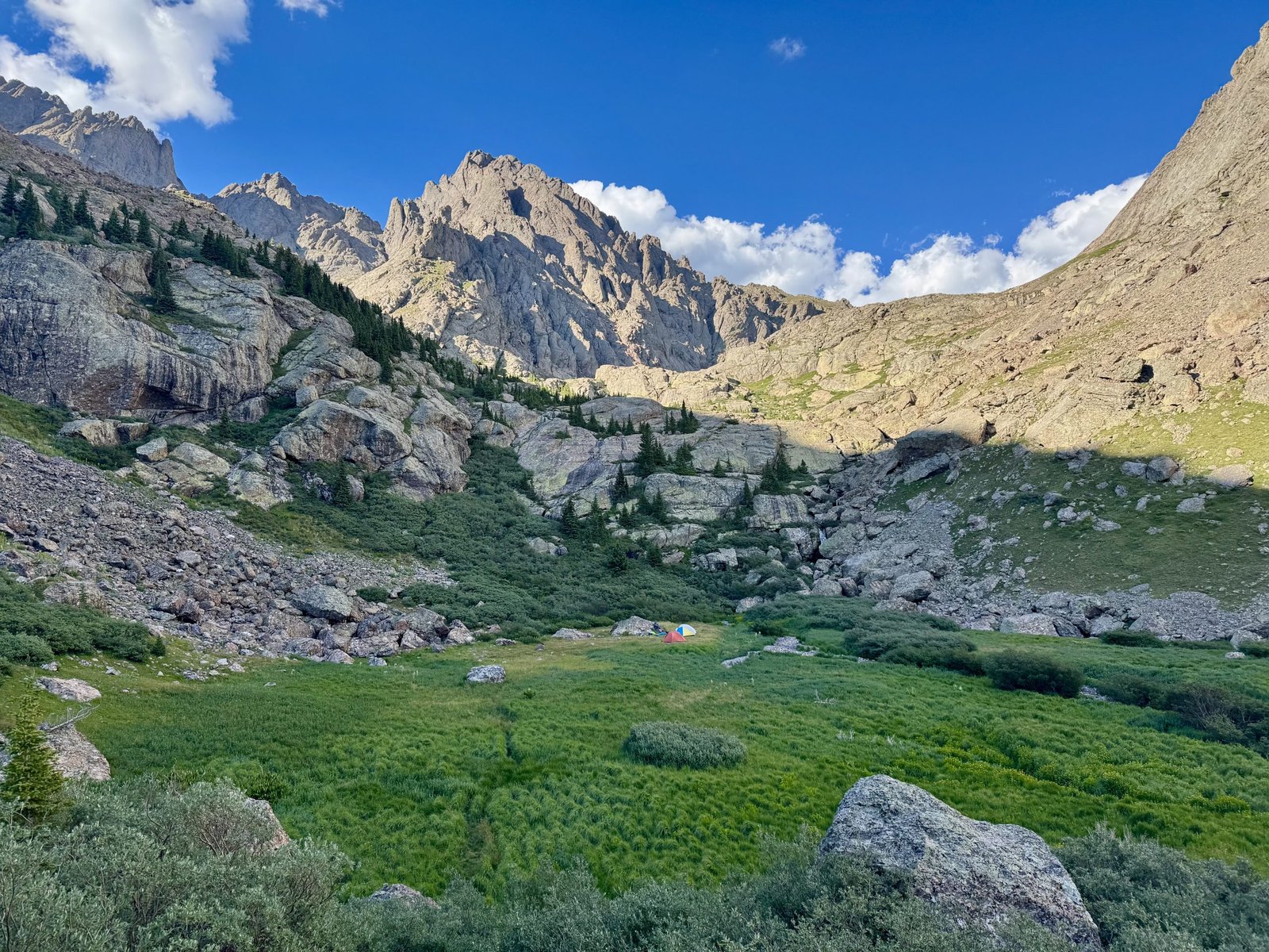
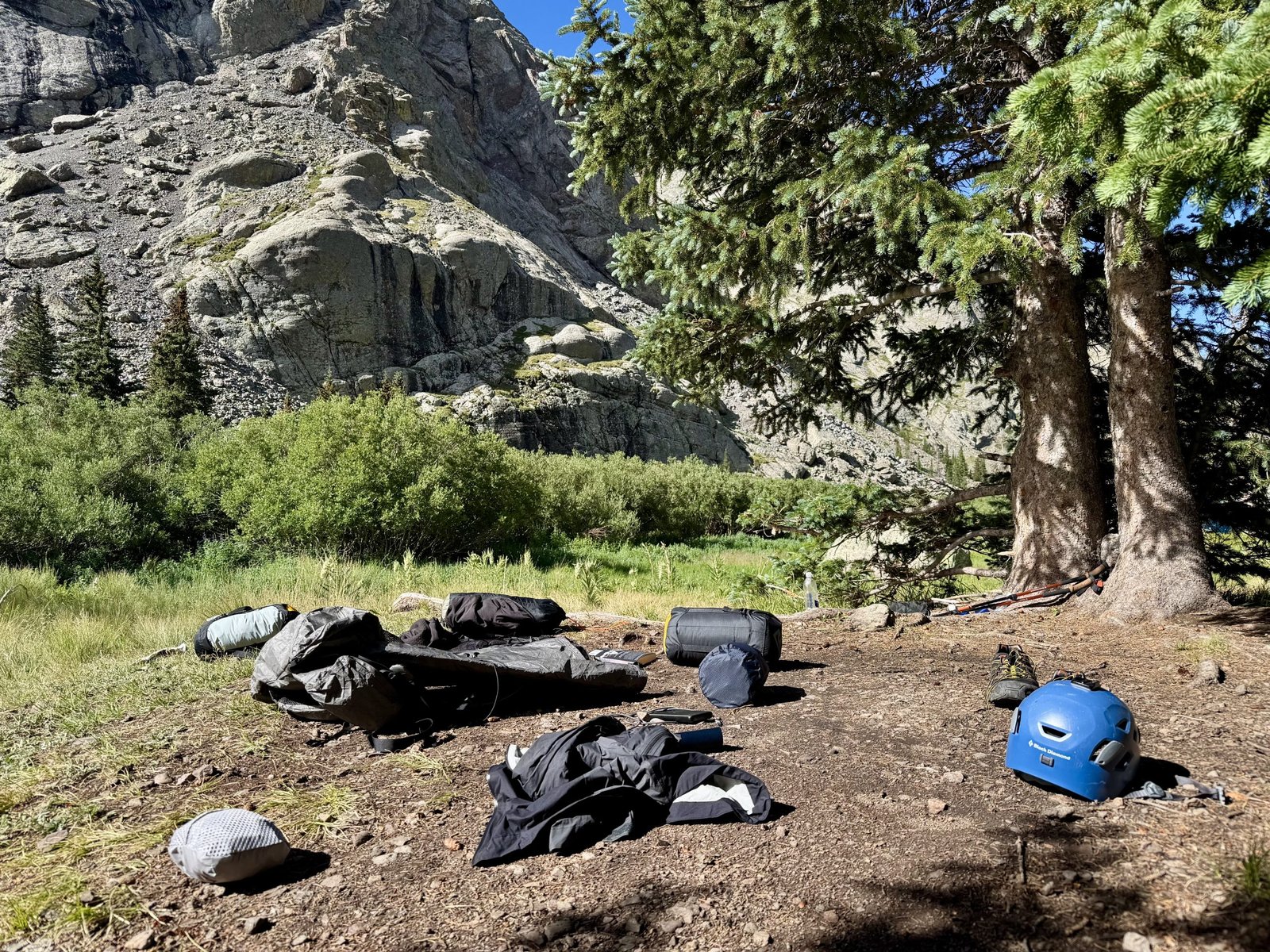
This is the same spot I camped a year ago when I climbed Crestone Peak. I didn’t have it to myself this time but the other group (three adults and two young girls) was very friendly and I set up camp just on the other side of the large rock from their tents. One of them warned me to watch out for marmots chewing up your gear and I told them about losing part of a trekking pole handle to marmots in this very spot a year ago. We talked climbing and they described Crestone Needle as “pretty chill.” I was busy setting up camp, eating dinner, and filtering water until sunset and bedtime around 8:30PM.
Sunday, July 27: #29 Crestone Needle (14,196′)
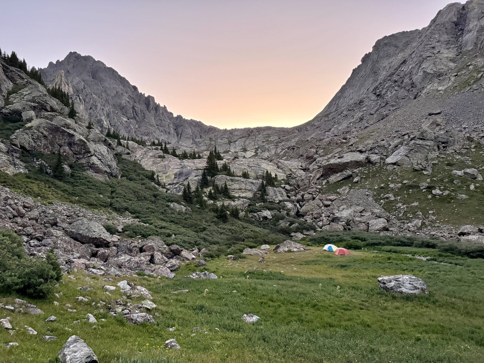
I didn’t have too far to go today, and the forecast remained excellent, so I started a little on the late side at 6AM. The roundtrip distance for Crestone Needle’s South Face route from my camp was maybe 4 miles and 2,500′ of gain but would involve steep, exposed class 4 climbing.
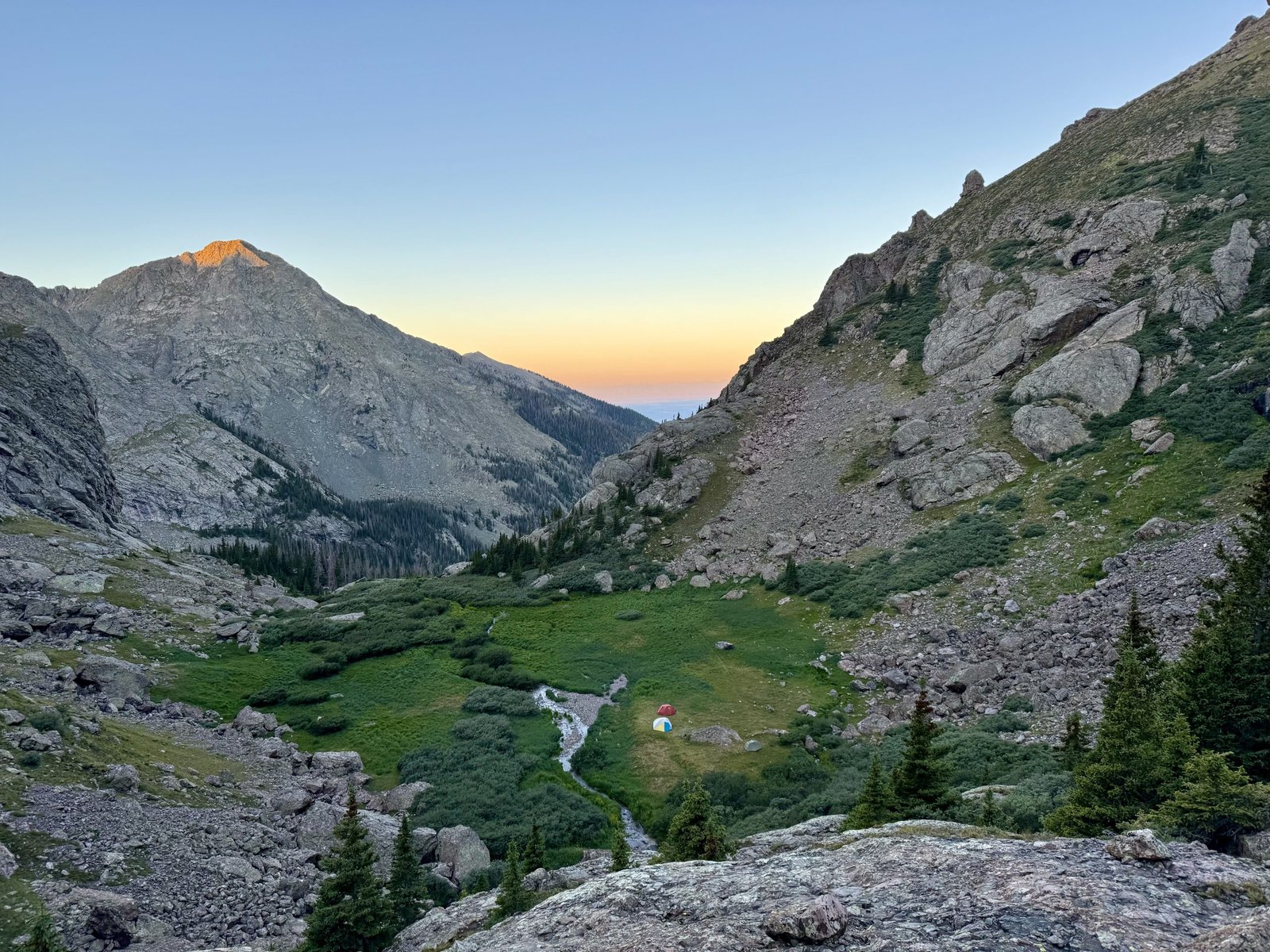
The first step was to bash through willows and rock hop across large slabs fields to Cottonwood Lake, where the standard Crestone Peak trail continued left to the Peak and right to Broken Hand Pass at 12,850′ (about 1,000′ above camp), where the Needle route began.
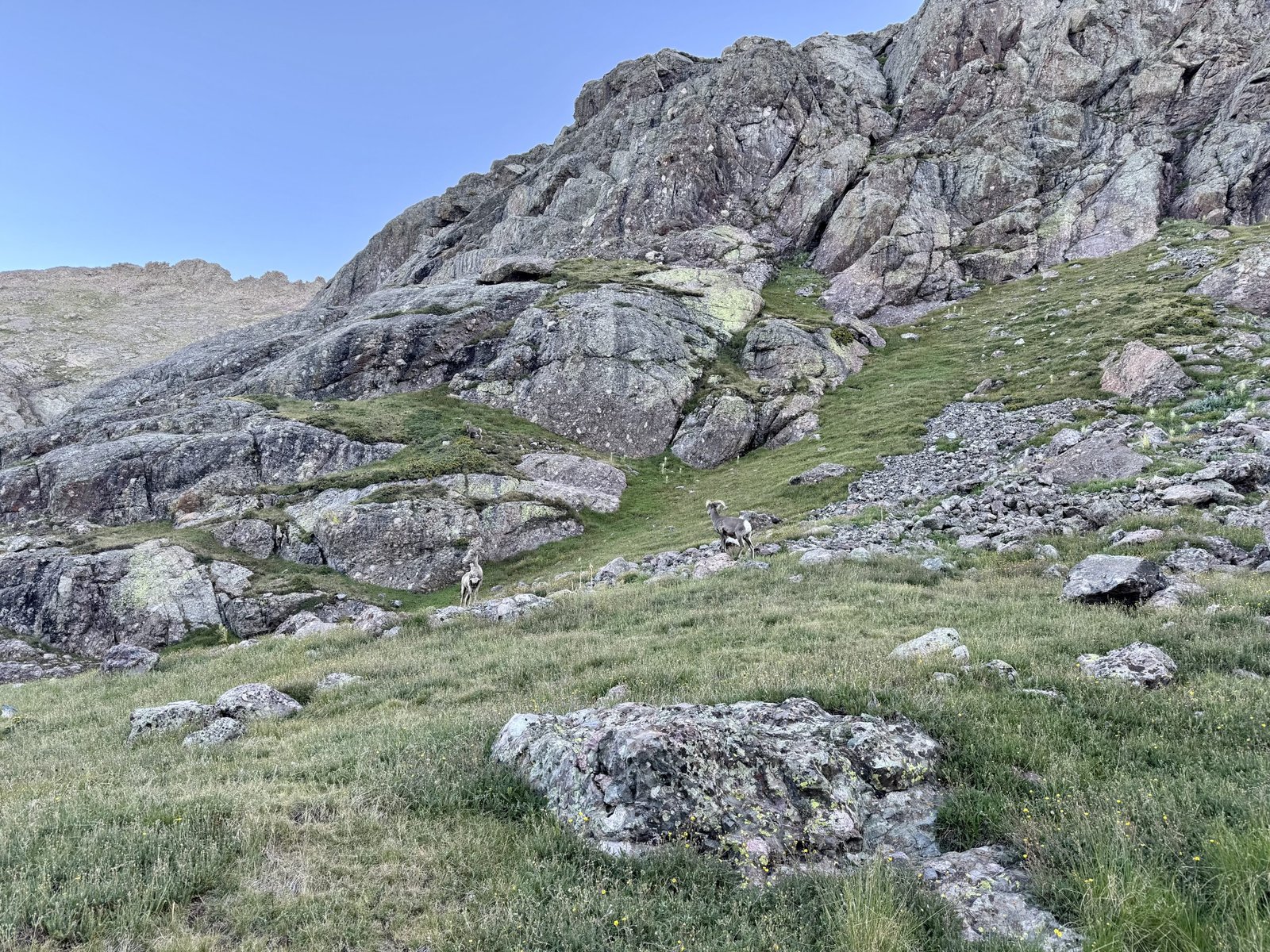
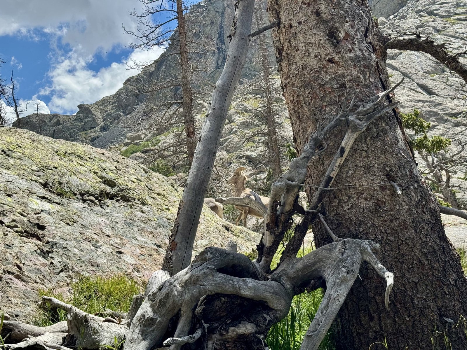
I passed three bighorn sheep and many marmots, none of whom seemed very concerned by me.
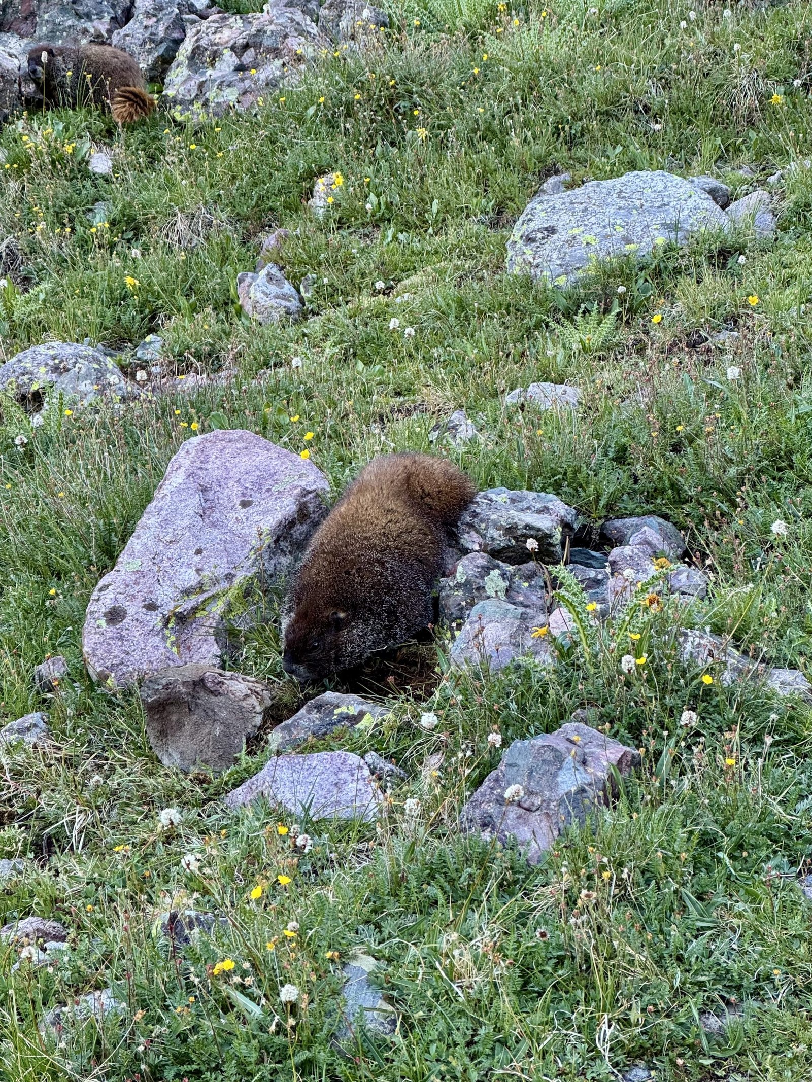
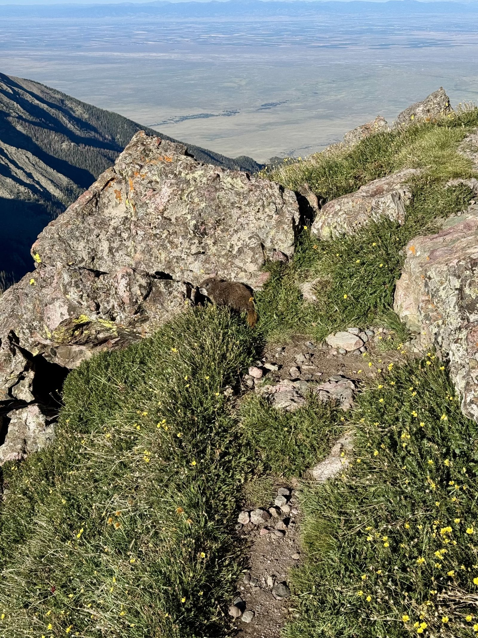
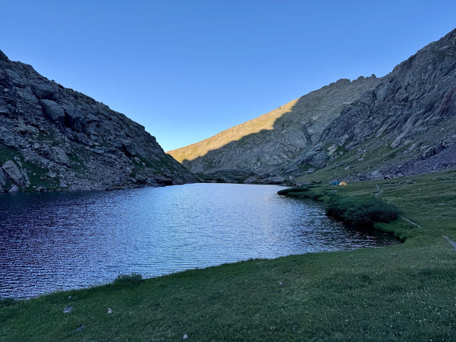
I made it to Broken Hand Pass in 80 minutes, at 7:20AM, where it was exceptionally windy.
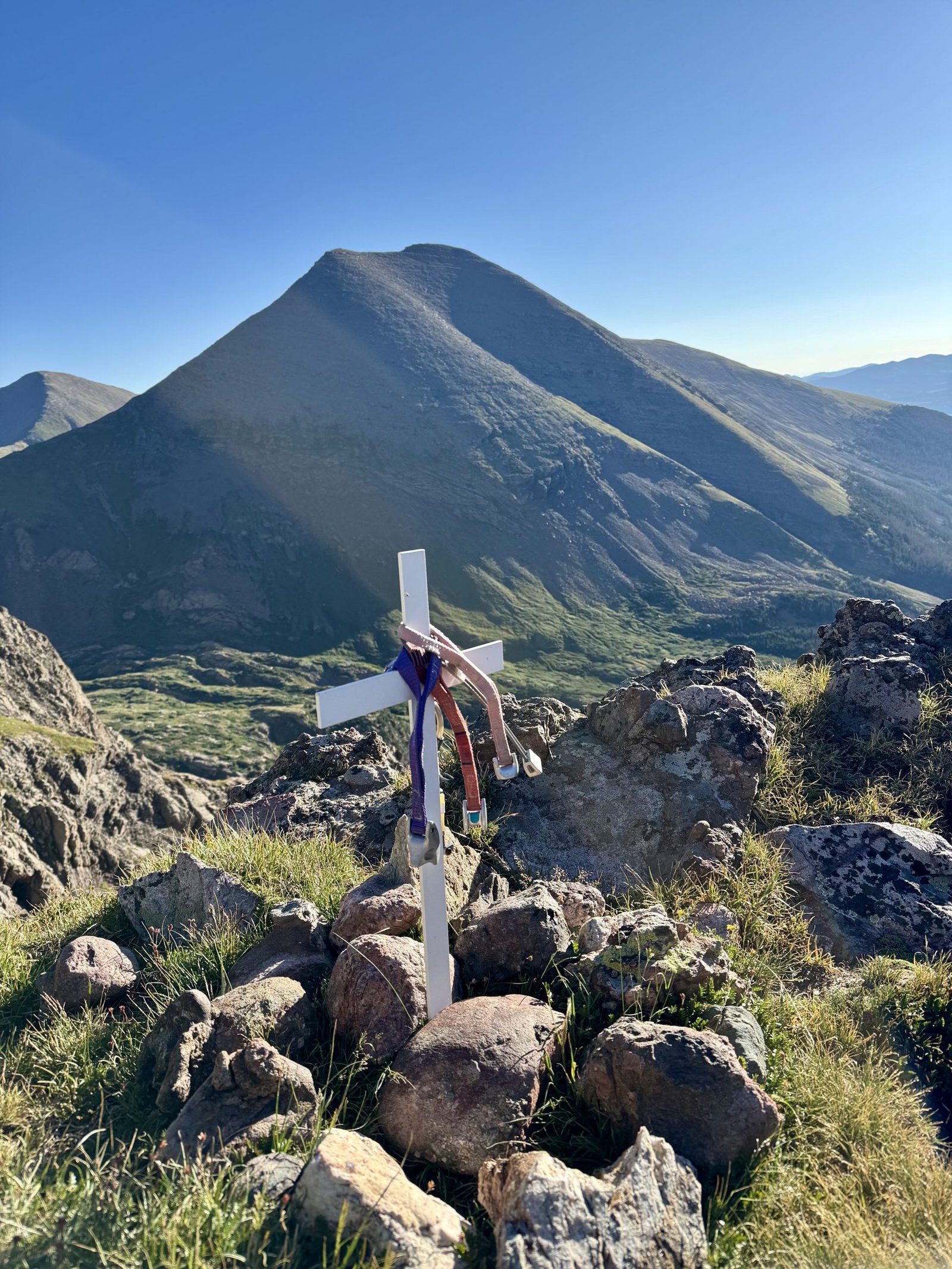
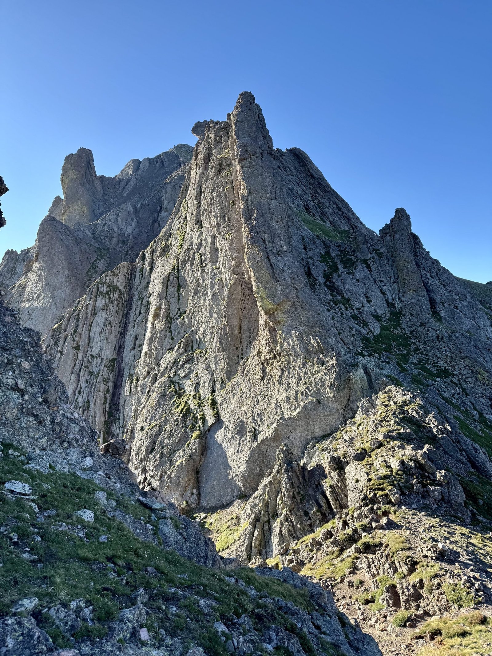
From Broken Hand Pass, you traverse northwest on a good trail and complete a short class 3 down climb to access the east gully on the Needle’s south face.
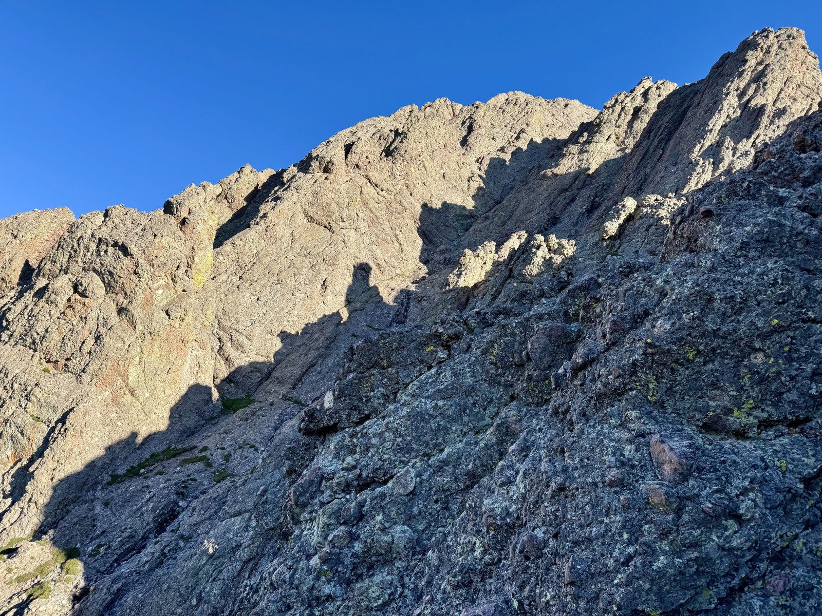
From there, the route is pretty straightforward: climb the gully.3
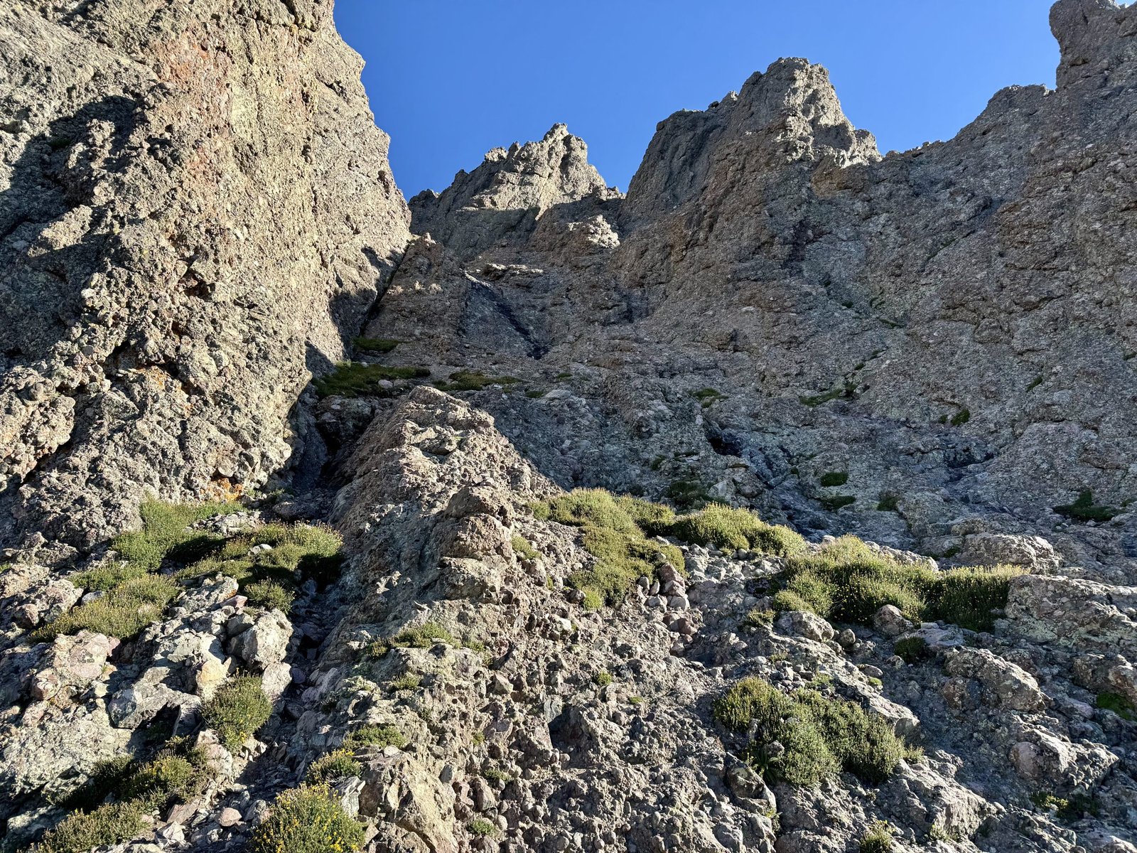
I started up the gully in earnest at 8AM. Unlike the loose dirt and rock descent gully on Challenger that I complained about, this gully is composed of the same excellent Crestone Conglomerate rock that makes up Kit Carson’s north ridge. This results in similarly excellent climbing in the gully.
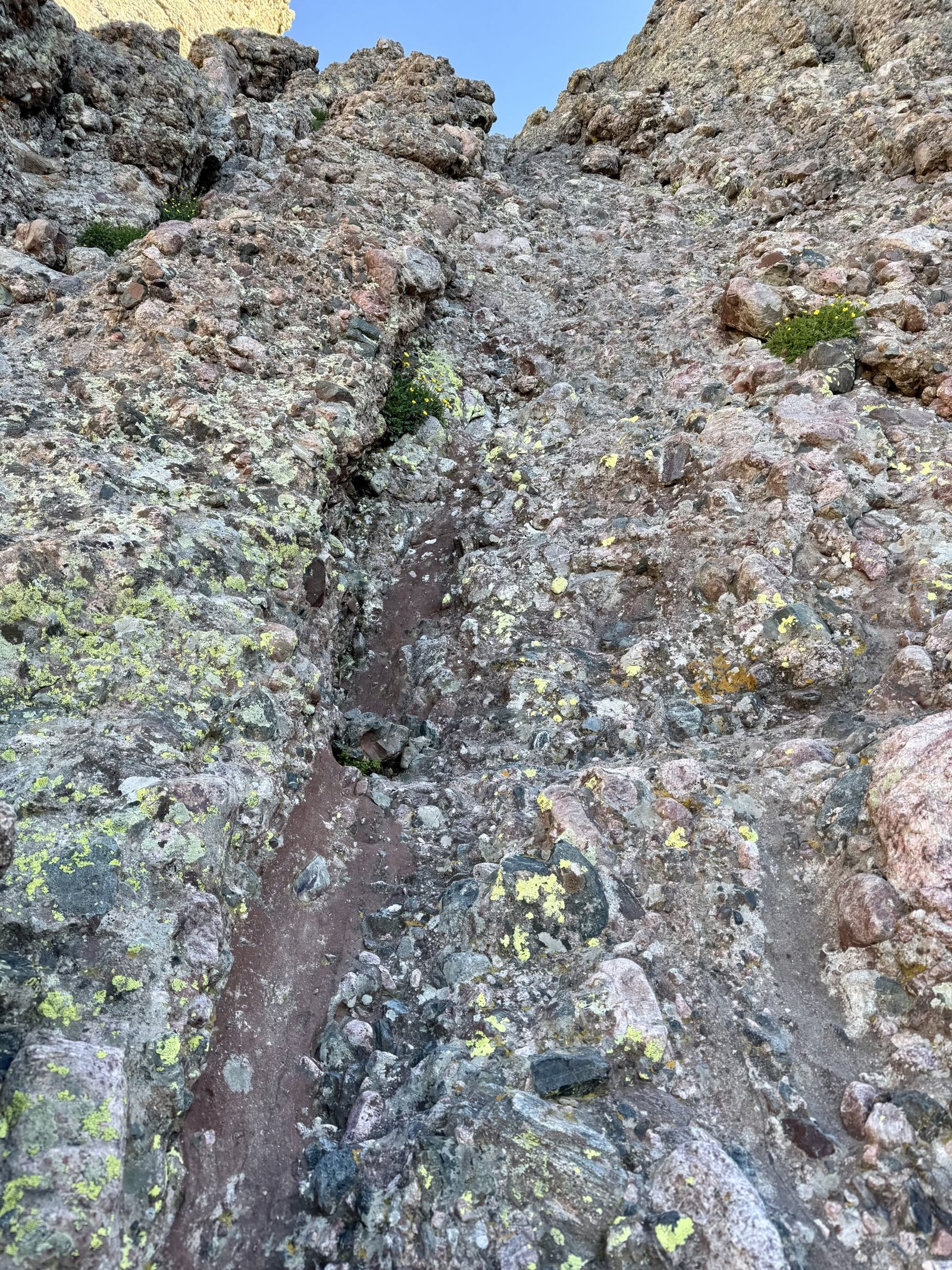
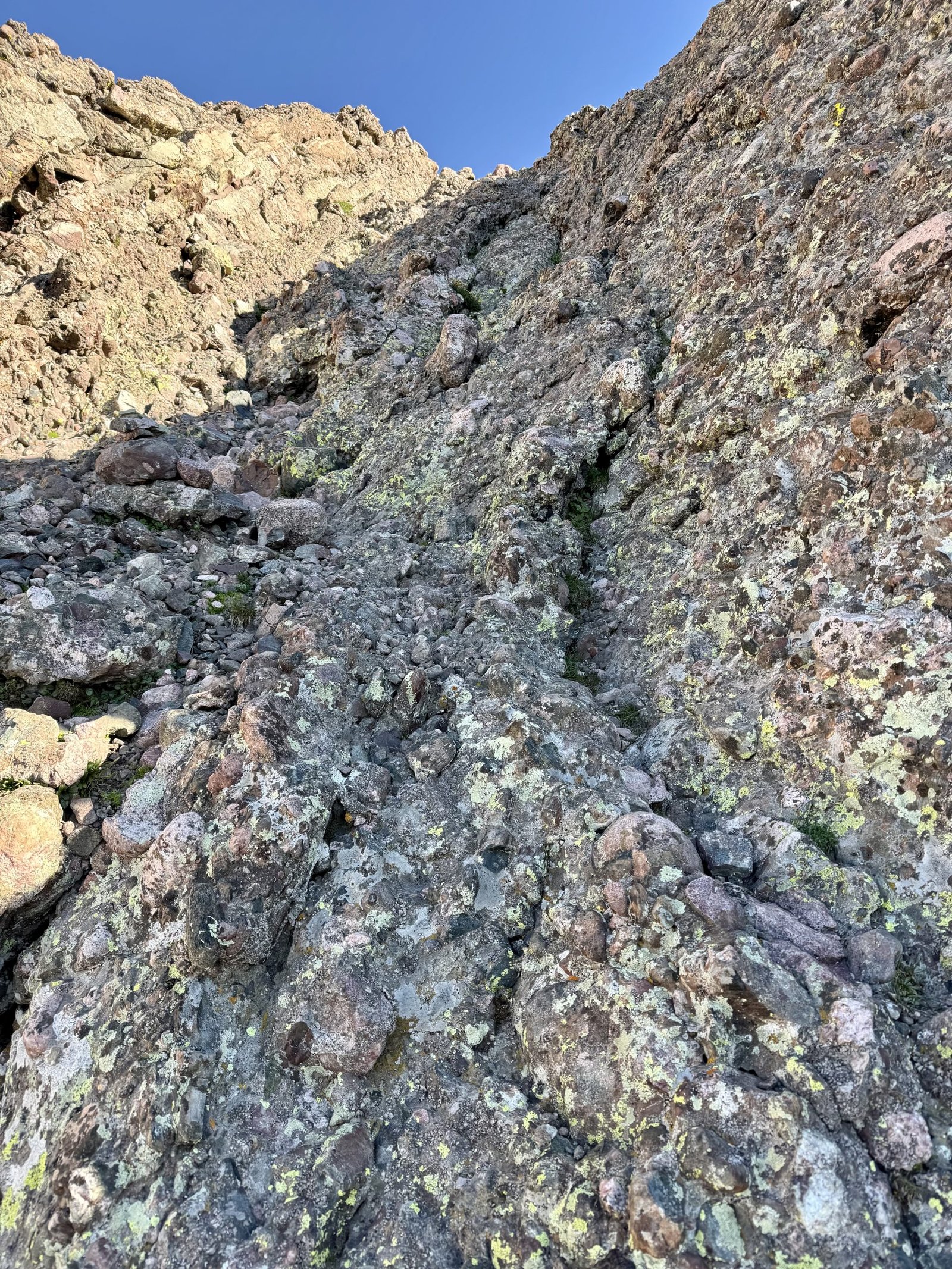
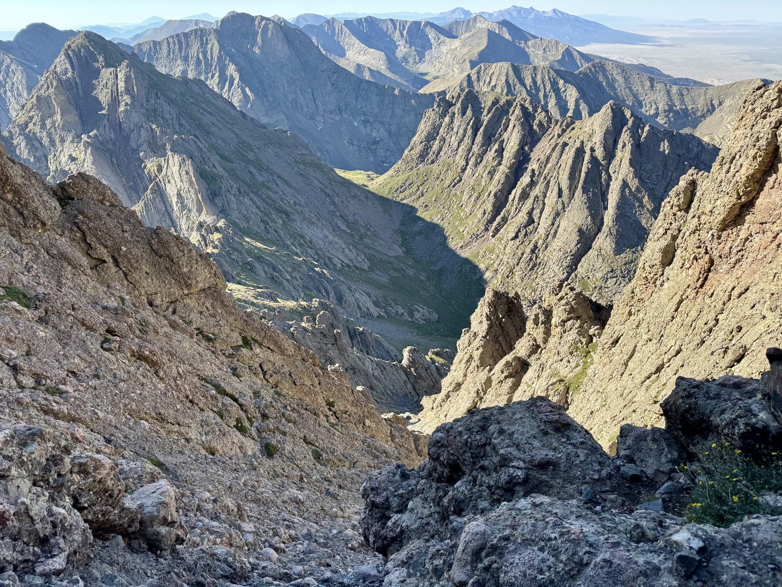
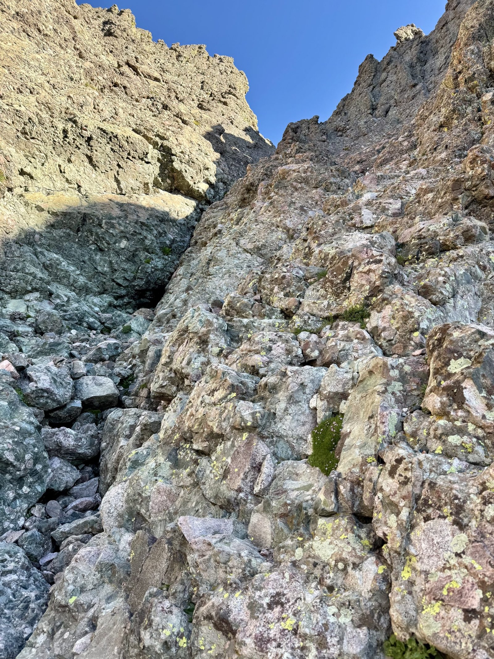
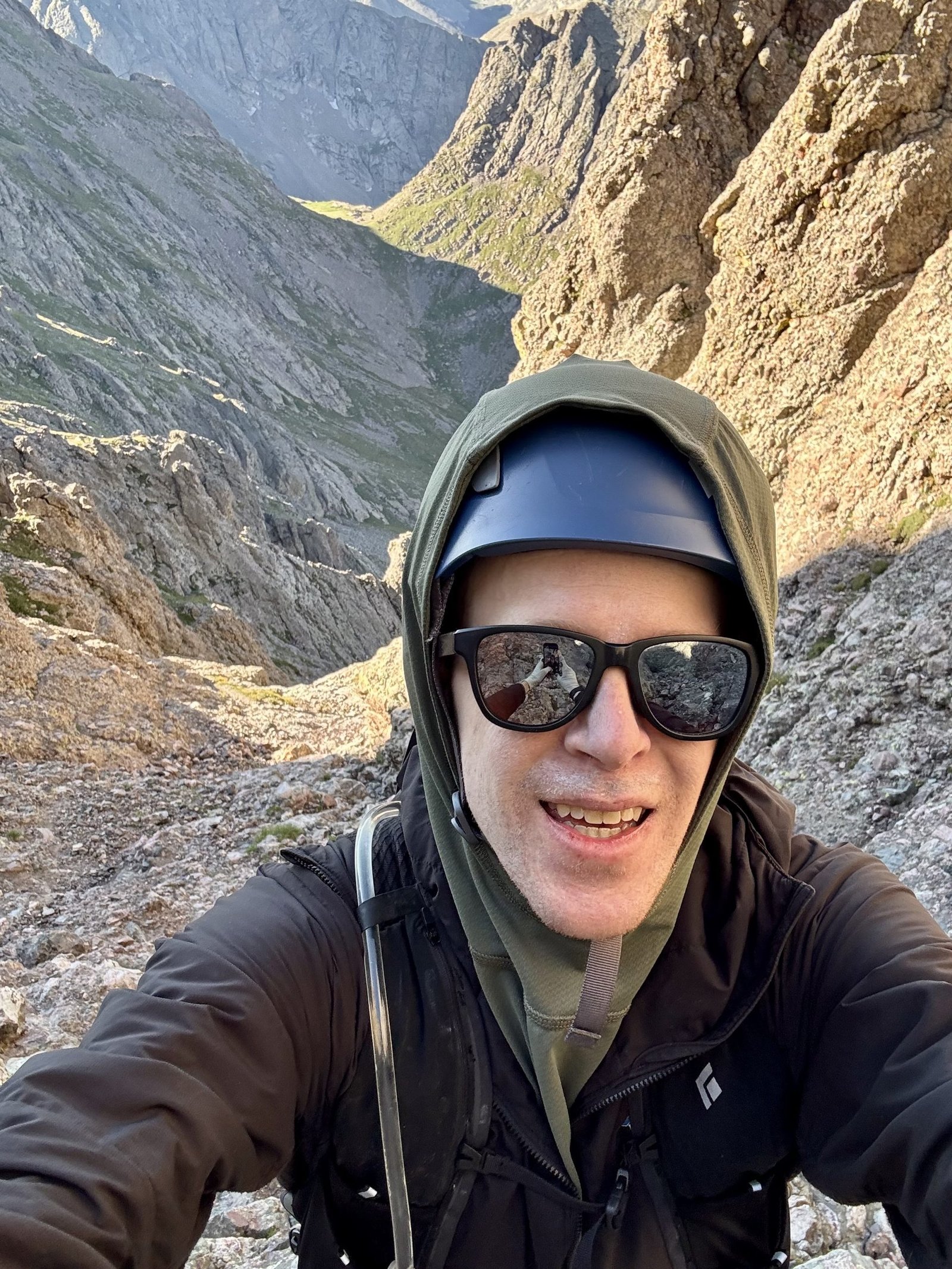
I had a blast climbing the gully and hit the summit at 9AM, exactly 3 hours after starting. Gerry Roach says, “Crestone Needle’s summit will thrill all but the most dispassionate soul,” and he’s not wrong.
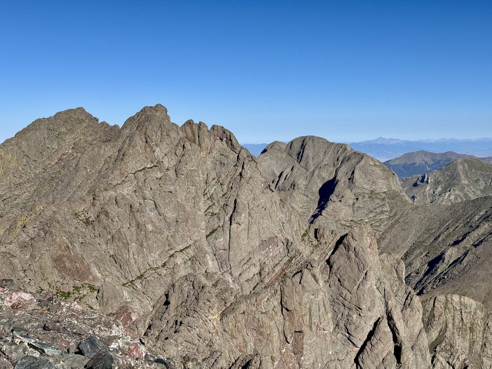
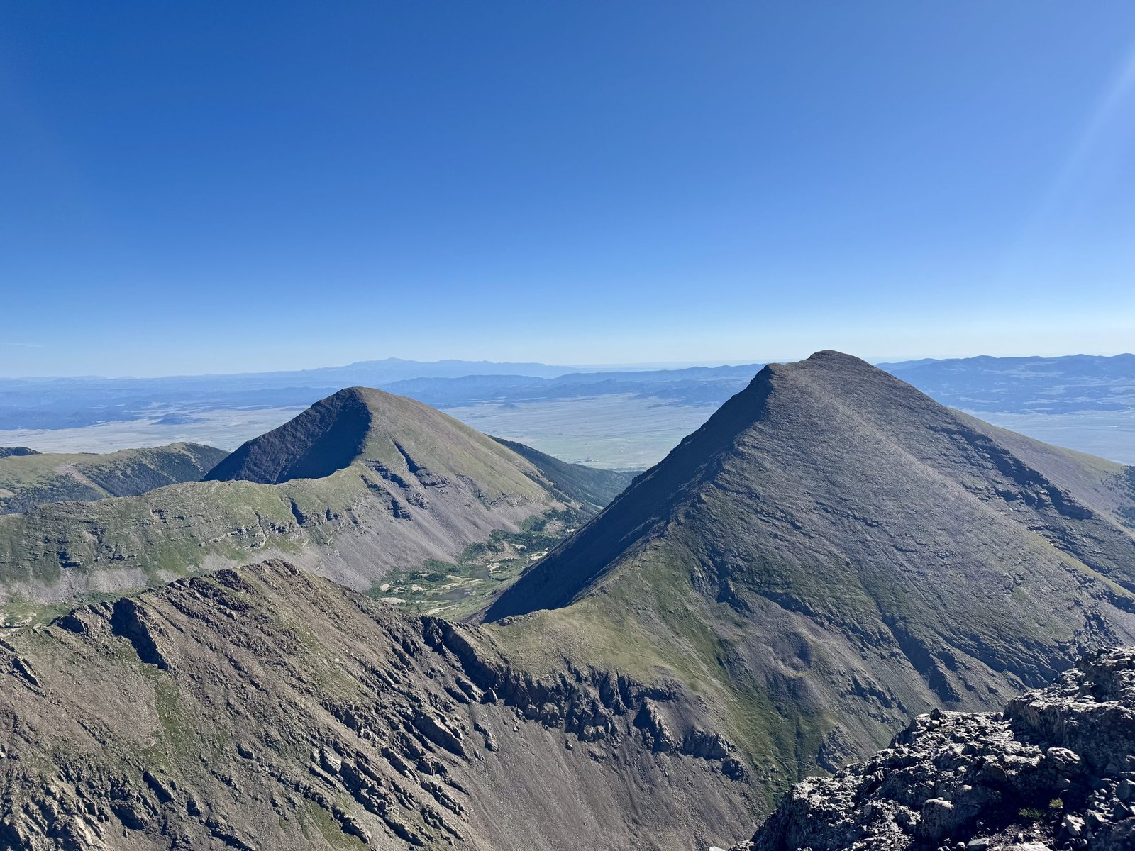
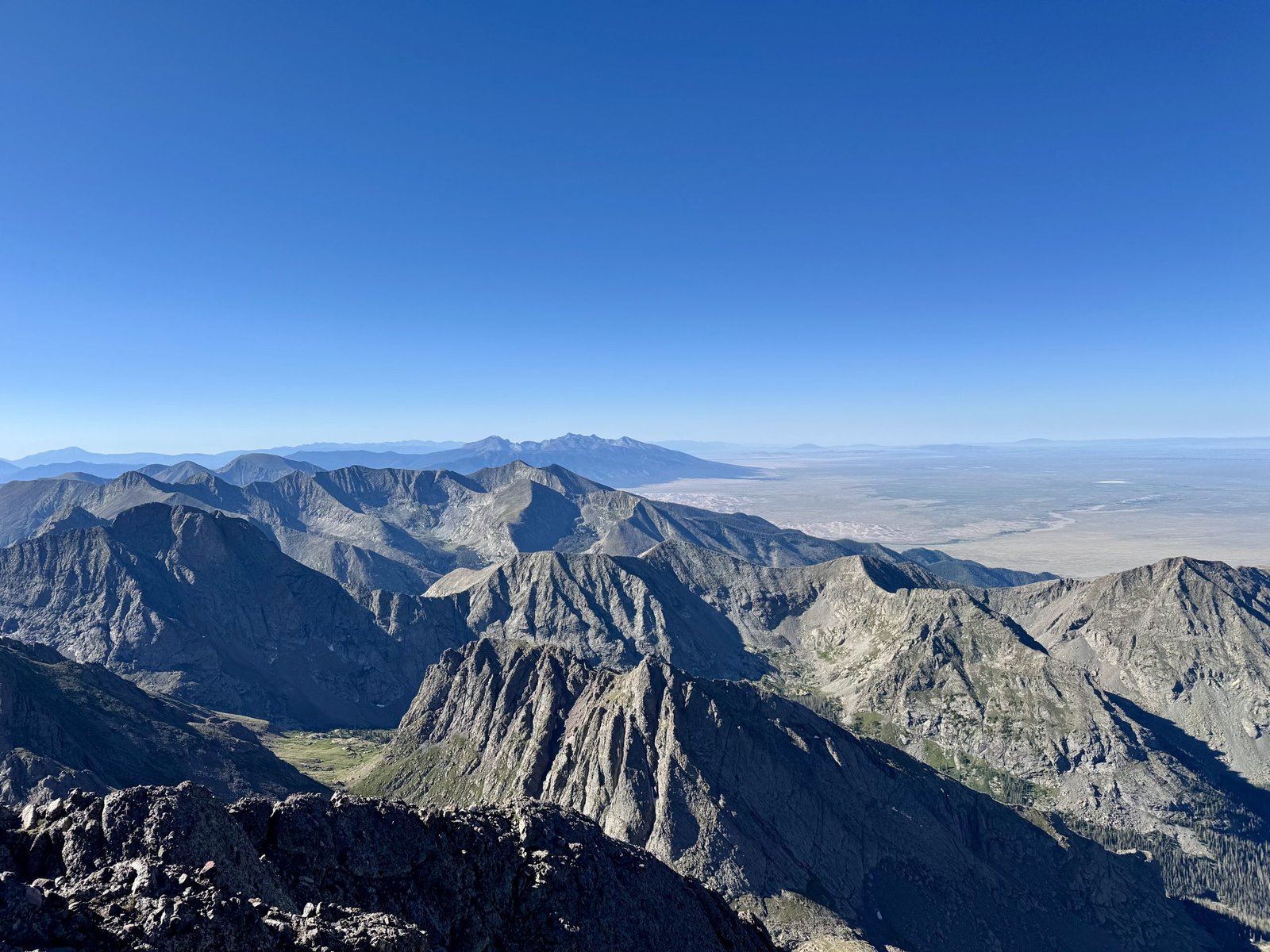
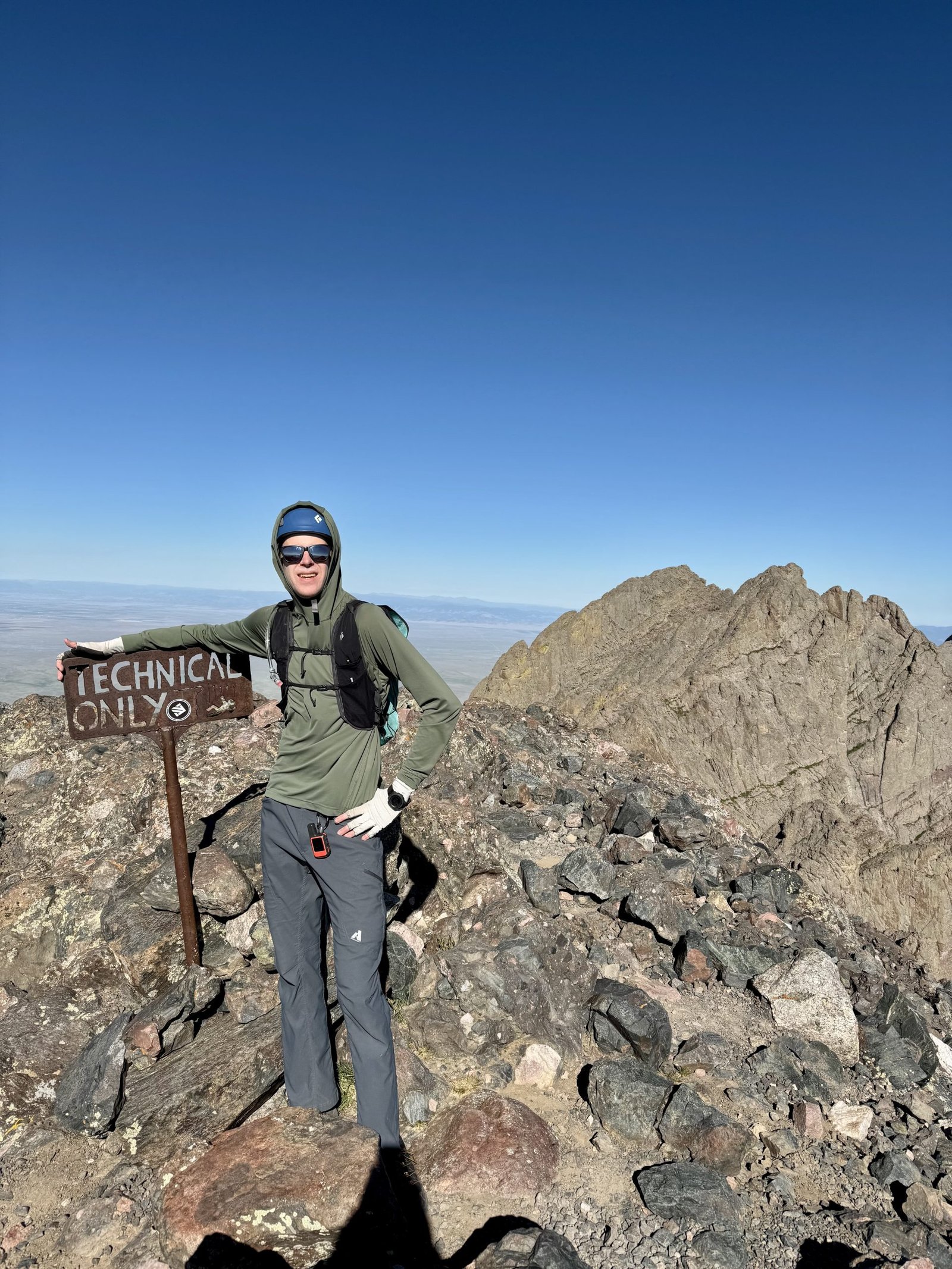
Crestone Needle was number 29 out of 58 for me: halfway done! Part of me wished I had done the Crestone Traverse (traditionally done from Peak to Needle, as the final pitch is a steep, exposed climb to Needle’s summit that is inconvenient to downclimb). But I had made the decision that I wouldn’t do the Traverse until I had climbed and descended the Needle on its own. Crestone Needle has a history of causing accidents, including fatalities, on its descent when climbers (who may have climbed the Peak and traversed to the Needle and thus have not climbed their descent route) take the wrong gully descending the Needle’s complex south face and find themselves stuck on impassible cliffs. The helicopter mission I saw on the Needle last year while climbing the Peak was a body retrieval owing to this exact problem.
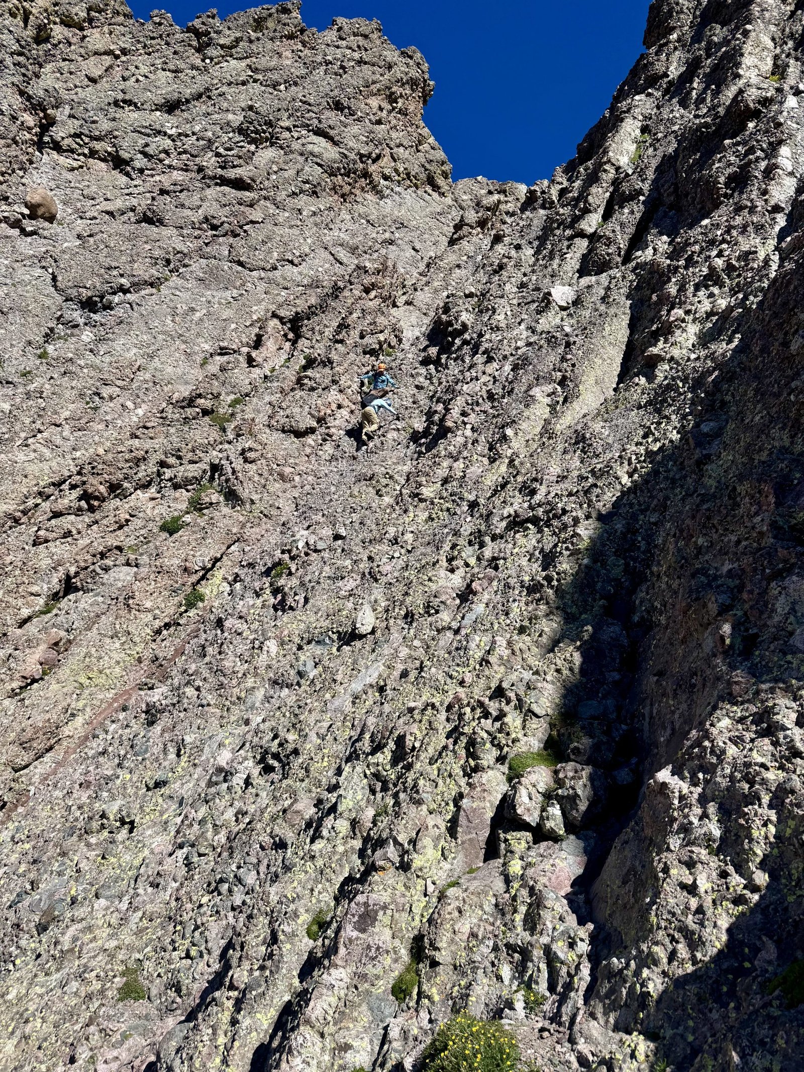
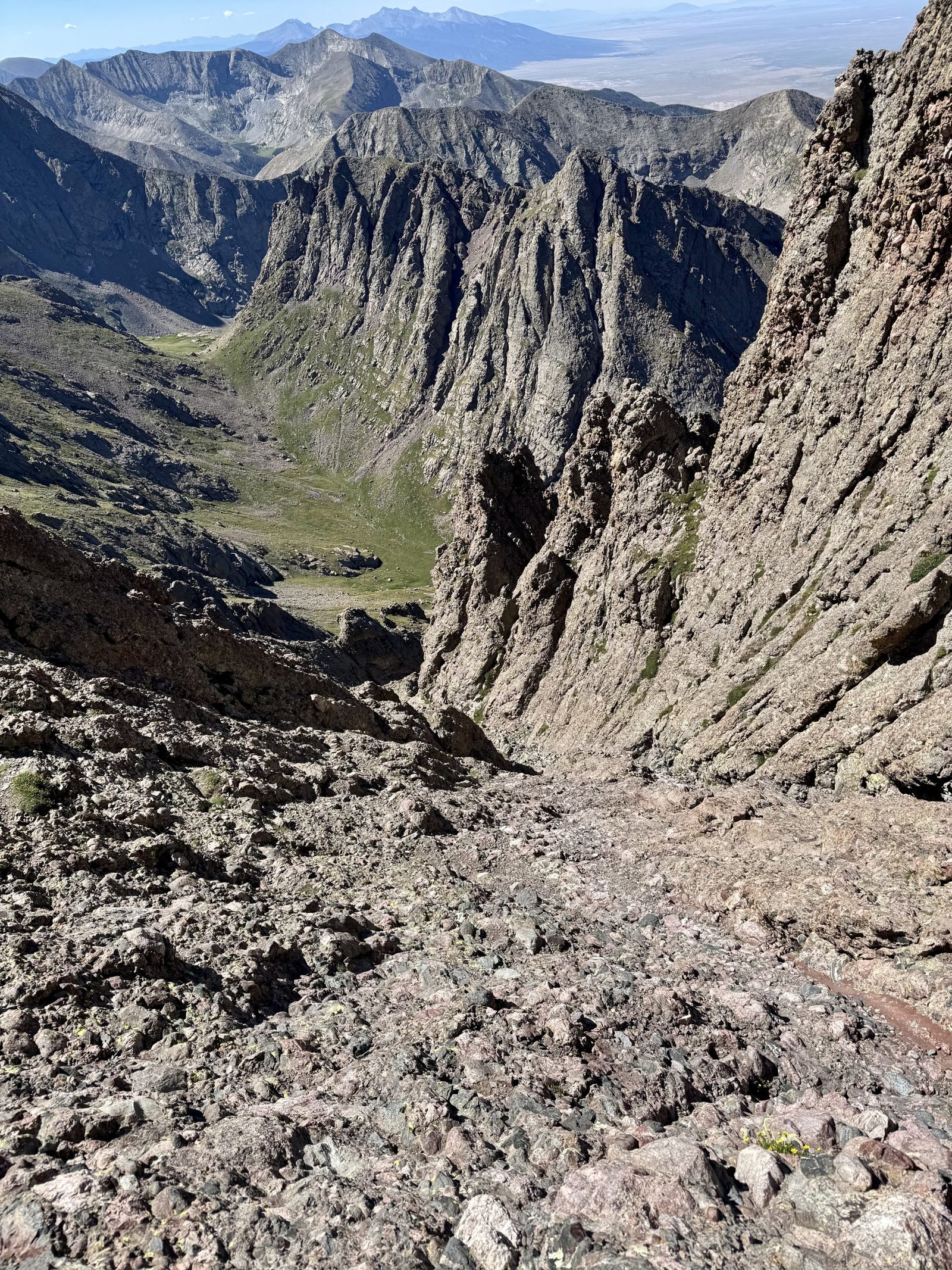
Along with a pair of older climbers I met on the summit, I was able to find the correct gully without too much difficulty. While descending the gully, one of the other big hazards reared its head: a group of climbers ascending above us dislodged a softball-sized rock that flew down the gully alarmingly fast. Thankfully they shouted out “ROCK!” and I pressed myself into the gully wall, only to jump sideways when the rock changed directions as it neared me before ultimately bouncing high overhead and careening further down the gully. We shouted “ROCK!” to the climbers below us and assumed they were okay when we heard their voices talking as normal.
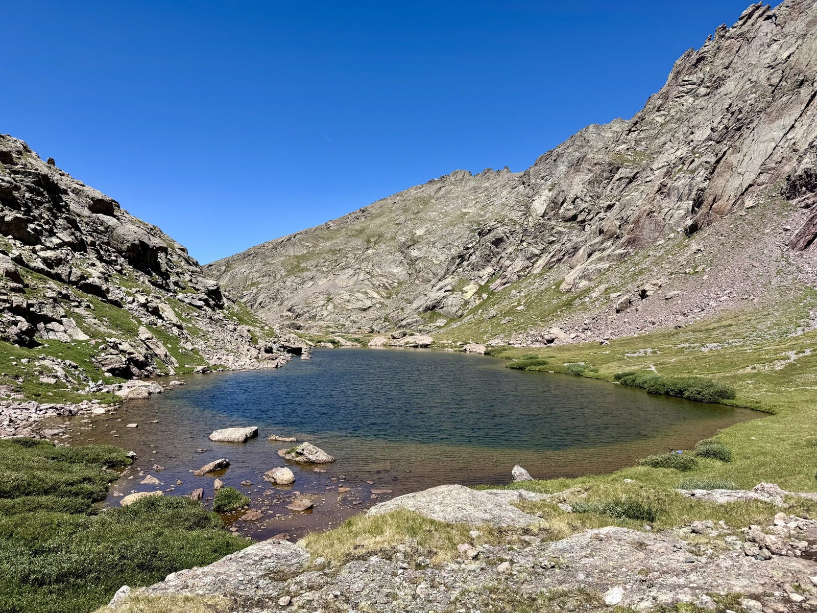
After an otherwise uneventful hour or so, I was back down the gully and at Broken Hand Pass by 10:30AM, back at the lake at 11:15AM, and back at camp by 11:40AM. Total time was 5h51m to cover 3.7 mi and climb 2,600′.
At high noon, it was hot and sunny back at camp, where I was still above treeline and without shade. I packed as quickly as I could and braced myself for a hot and grueling exit hike back to the car. I slogged down the 4 miles and 3,386′ in 3h2m.
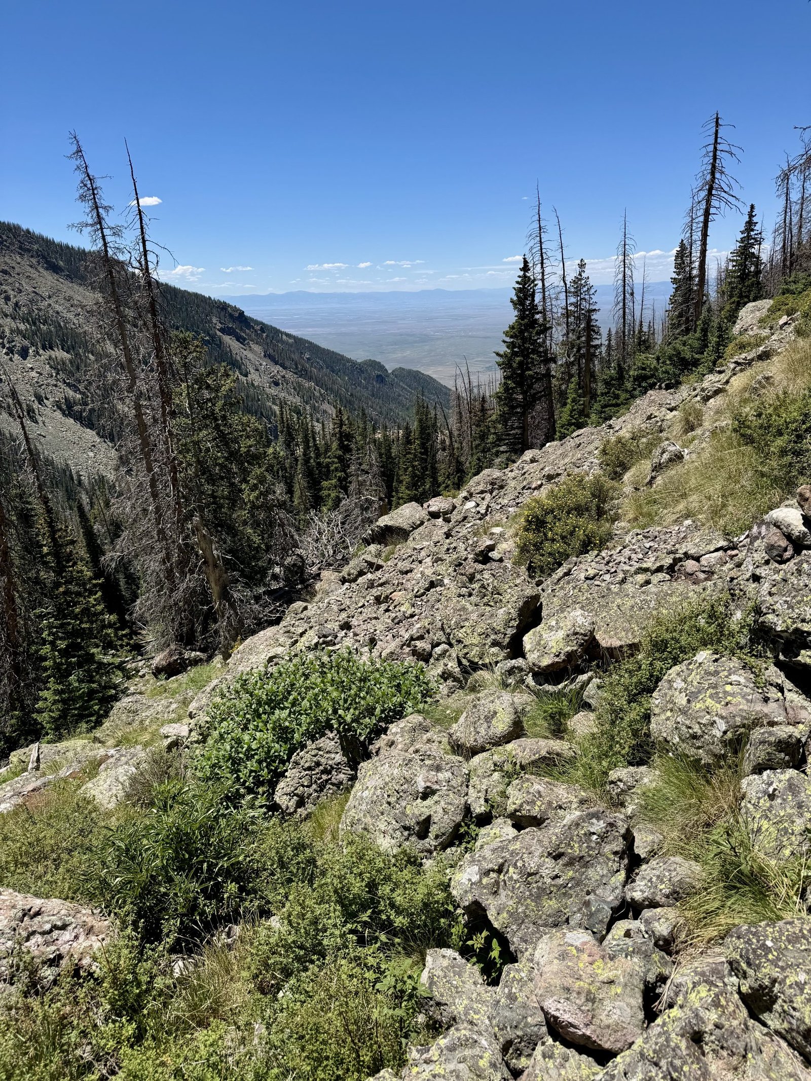
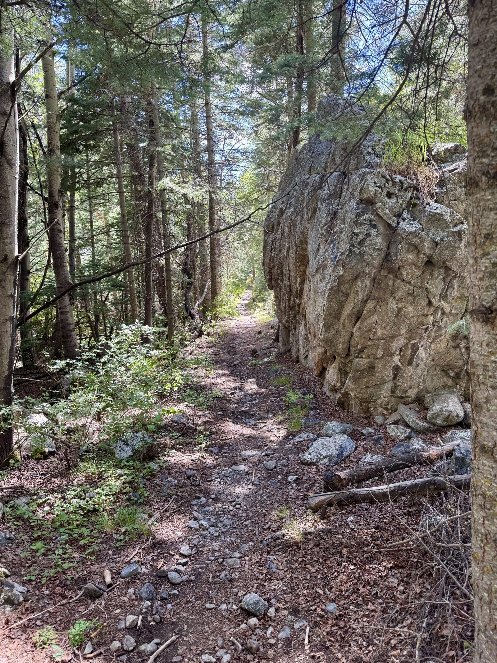
I was wiped out when I arrived back at the car and beelined for a Mexican restaurant in Alamosa, about an hour south of Crestone. I had a brief heart attack on the highway when my car’s oil light came on and then went off 30 seconds later. I checked the oil the next day in Alamosa and it seemed a little low so I added half a quart at a gas station. I talked to a mechanic who couldn’t fit me in that day but had a few theories and said ultimately, if the light stays off and I don’t hear any weird noises, it was probably okay to keep driving, especially given that I didn’t have many other options. I spent the night in a hotel in Alamosa looking at weather forecasts.
Monday, July 28
It had been a successful but long weekend: hike into Willow Lake Thursday, climb the north ridge Friday, pack out of Willow Lake and into Cottonwood Lake Saturday, and climb the Needle and pack out of Cottonwood Lake Sunday. I was due for a rest day, so I took one Monday. After talking to the mechanic in Alamosa, I drove back north through Salida and on to Buena Vista. Just a week into the trip, I felt like I was both running out of steam and playing with house money, given how I’d already climbed 8 peaks and knocked off two of the harder class 4 routes on my hit list (both basically solo, at least on the ascents). Plus the forecast for the San Juans didn’t look ideal for the El Diente-Wilson traverse. So it was back to the Sawatch Range to take a victory lap on something closer to a walkup.
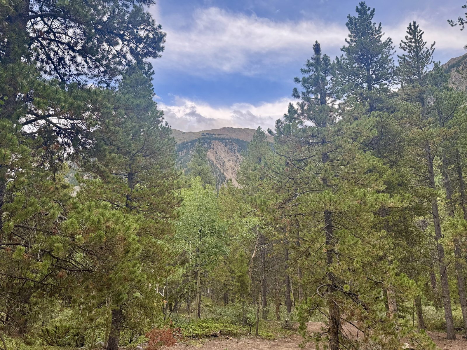
I got lunch in Buena Vista at Sorelle Deli and grabbed two more books at a small bookstore in town (Classic Krakauer, another essay/article collection and Andy Weir’s Project Hail Mary). I then drove up Chaffee County Road 390 in between Buena Vista and Leadville, which leads to the Huron and La Plata trailheads, as well as the Missouri Gulch trailhead. I camped here my first year back to Colorado in 2022. I decided I would take on some combination of Belford, Oxford, and Missouri, all of which can be climbed from Missouri Gulch. I parked off the road near the trailhead at a dispersed campsite, where I spent the afternoon reading more Krakauer: articles about the death of a big wave surfer, and exploring slot canyons in Arizona.
I eventually decided I didn’t want to set up the tent that night because I would want an early start tomorrow morning to give myself a good chance to hit multiple peaks, and taking the tent down in the morning would delay my start time at least 30 minutes, which I could otherwise spend sleeping. So at dusk I drove the mile or so back to the Missouri Gulch trailhead to sleep in the car, along with about five other vehicles with similar ideas. Once again, I slept pretty well in the Subaru.4
Tuesday, July 29: #30 Mount Belford (14,202′) and #31 Mount Oxford (14,158′)
I got going at 4:35AM, as early as I could bring myself to leave the car. I debated routes and combinations until the last minute but eventually decided to take the standard class 2 northwest ridge route up Belford (4 miles and 4,500′ one-way), add the trek to Oxford if the weather allowed (one mile each way and another 1,500′ gained), and then take the Elkhead Pass trail down to where it connected with the trail up Missouri Mountain, where I would decide if I had time and legs to go for one more. The alternative was to start with Missouri but I decided I’d rather orphan it than the other pair. Missouri has some interesting snow climb options if I have to come back.
As always, Gerry Roach’s description of the trail is better than mine:
This delightful hike is the easiest route up Belford. The direct ascent is beautiful in its simplicity….You will meet Belford’s challenge immediately as the excellent Missouri Gulch Trail climbs steeply via a series of memorable switchbacks to enter Missouri Gulch.
The switchbacks were indeed memorable and it took me a while to get into a rhythm. I decided it was because it was too dark to see just how steep the trail was by headlamp, resulting in me setting a faster pace than I could sustain and needing to catch my breath often.
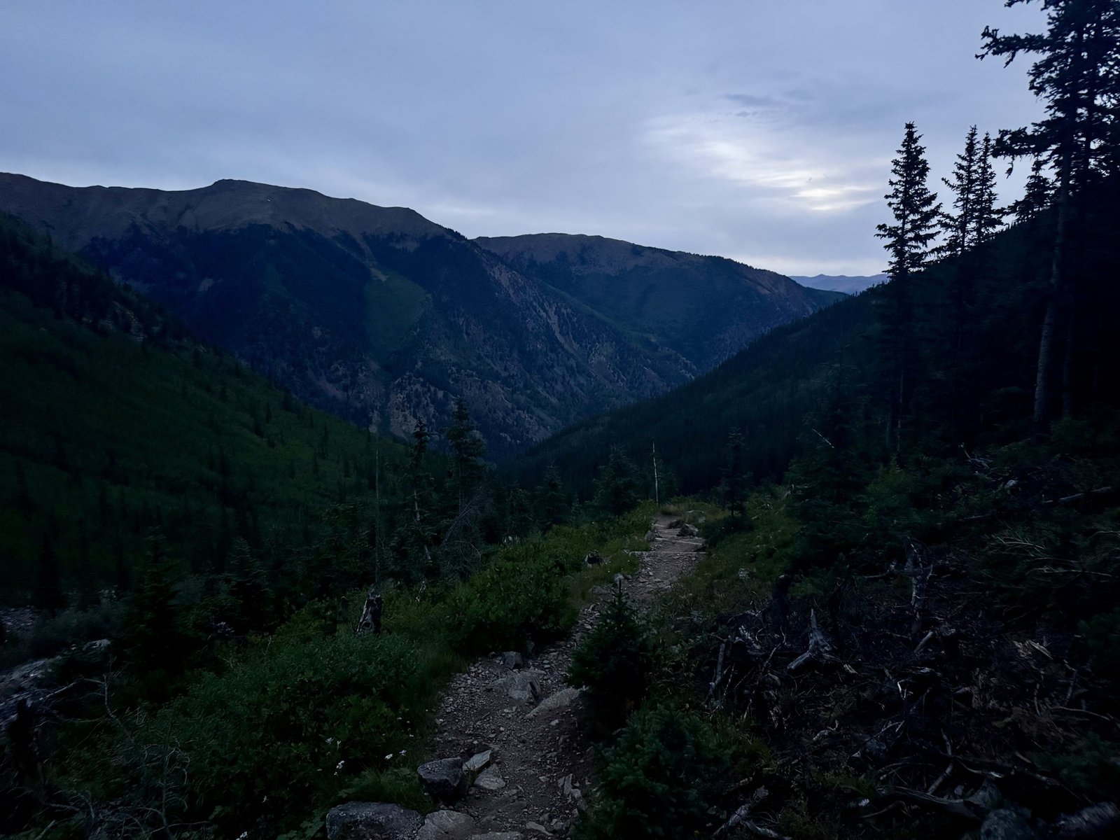
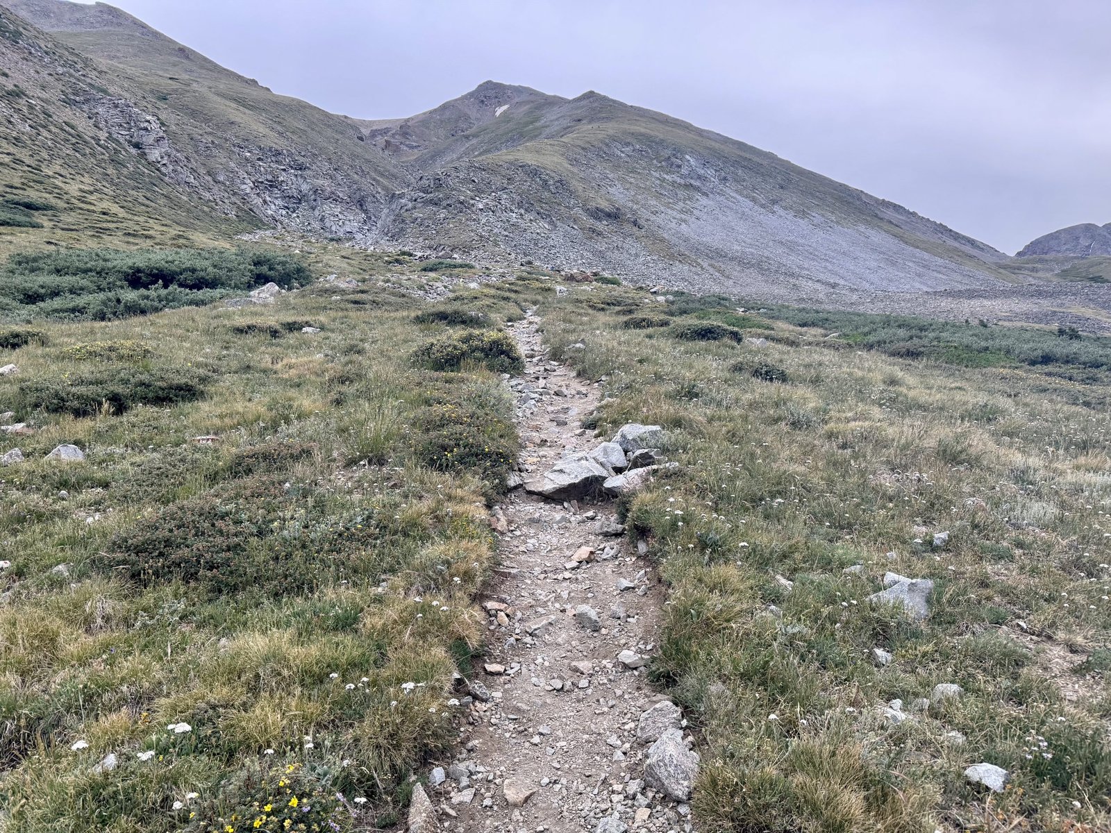
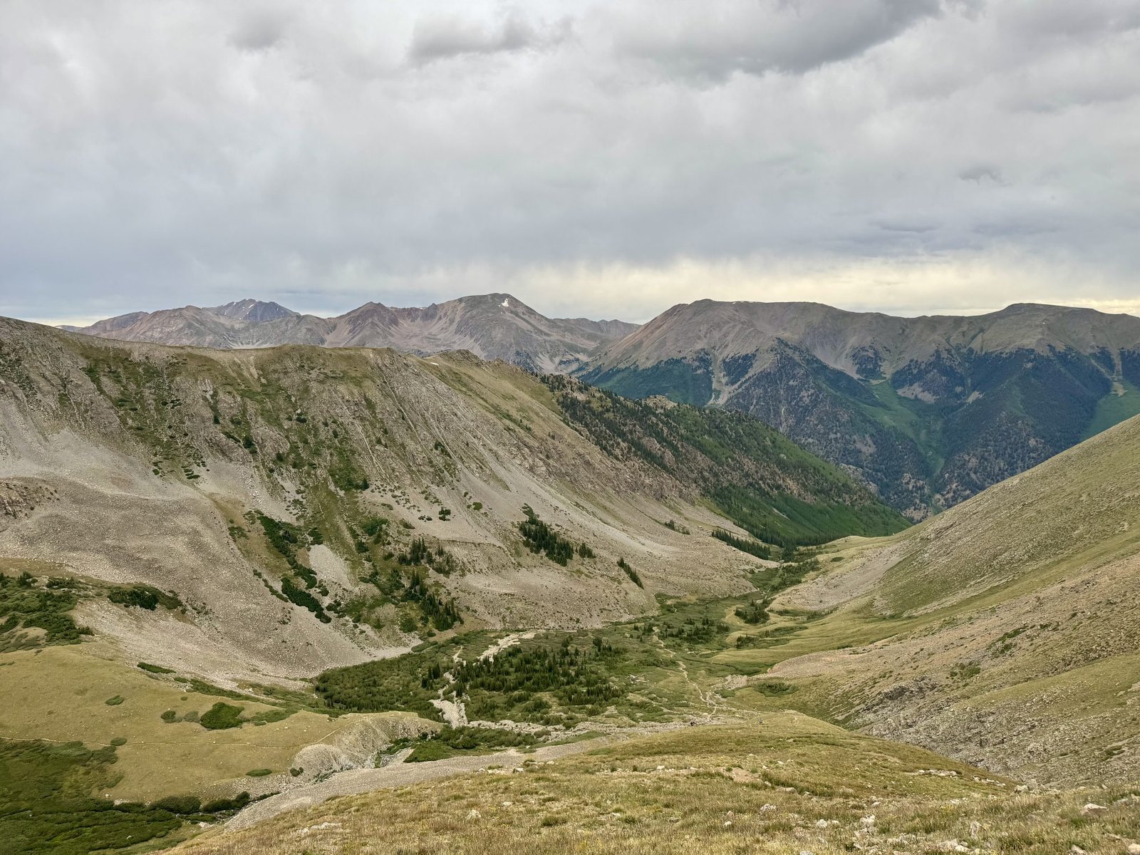
The sun had yet to emerge and it looked like it was raining everywhere around us. Somehow we were spared. After reaching Belford’s northwest ridge, the trail switchback’d upwards even more memorably for another 2,300′.
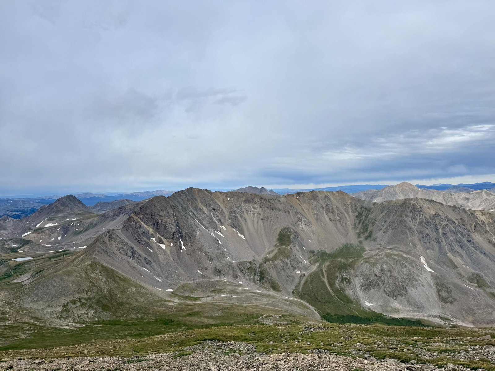
After slogging uphill for 3 hours and 20 minutes, I arrived at Belford’s summit (#30) at 7:55AM. It still looked like rain everywhere around, so I snapped a couple quick pictures and headed on to Oxford.
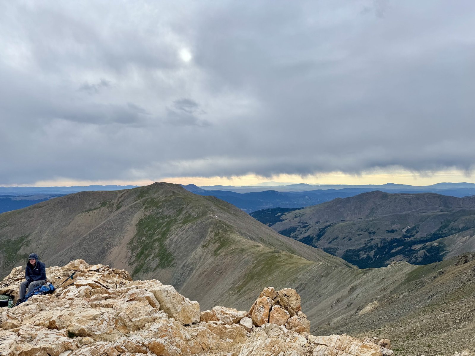
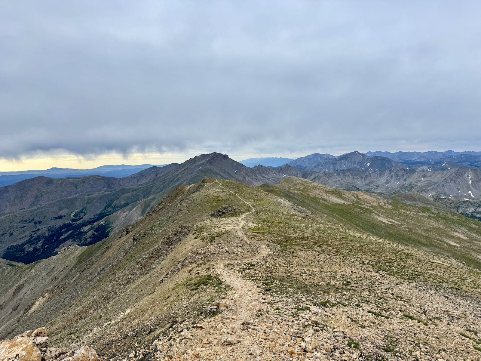
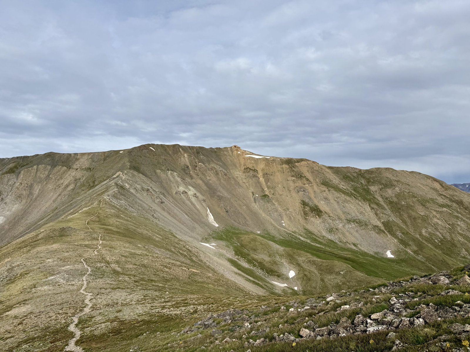
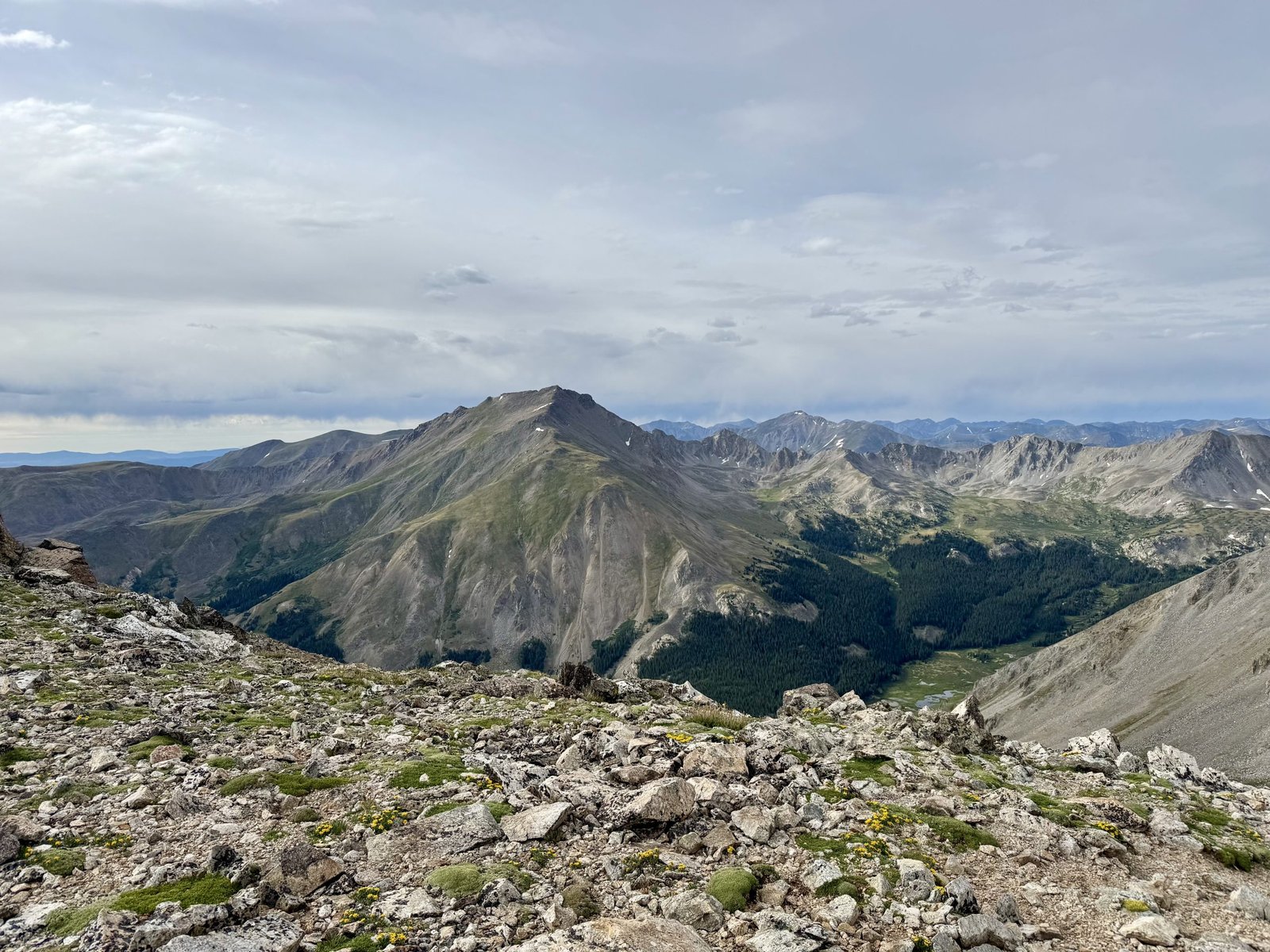
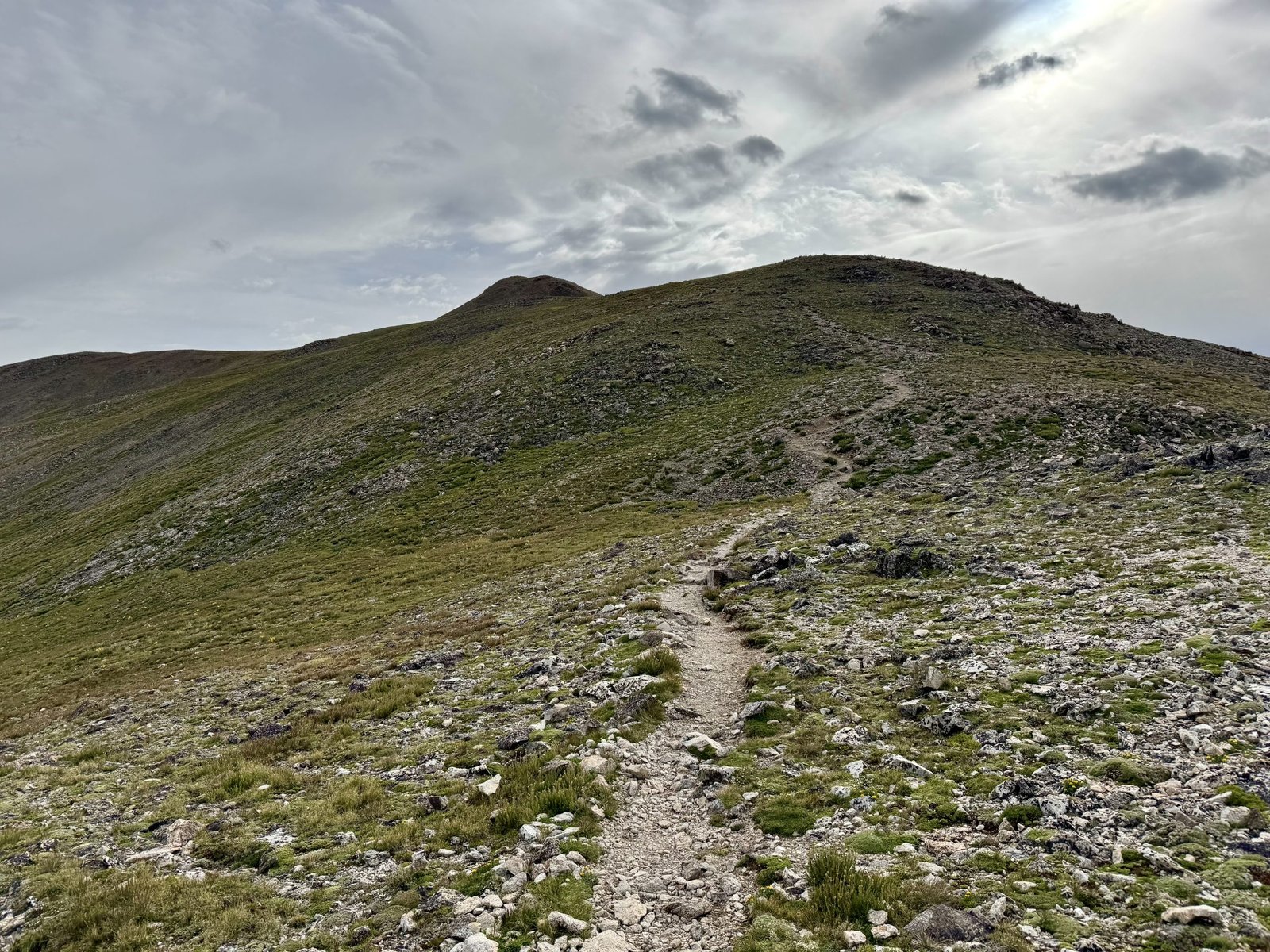
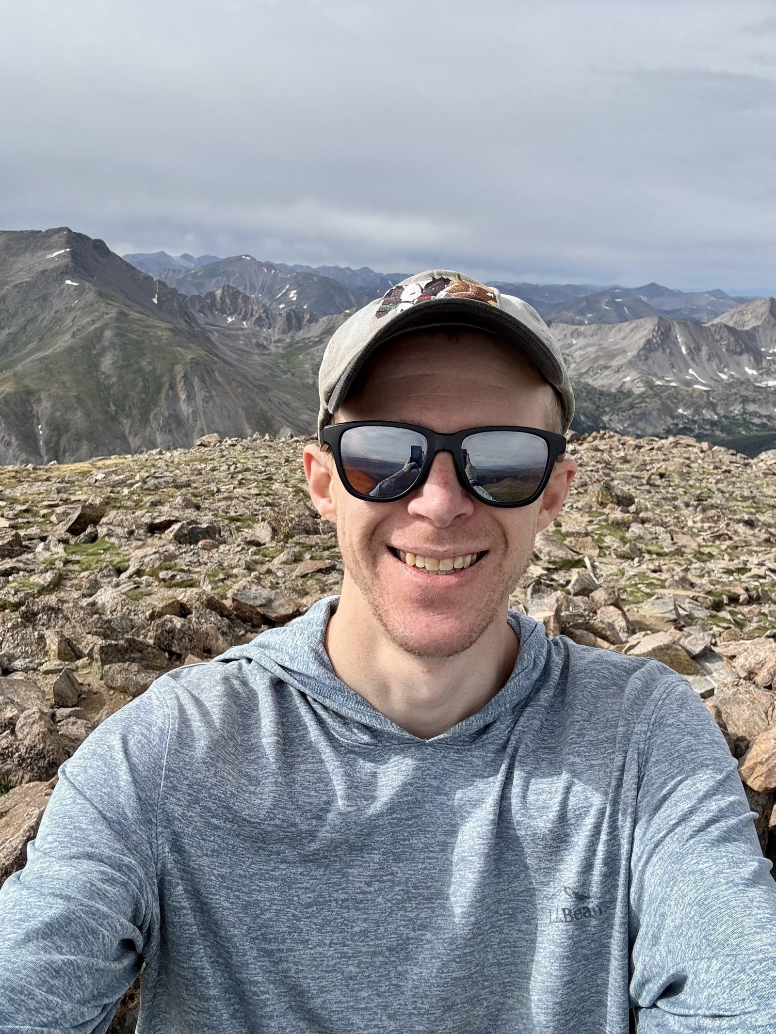
I hit Oxford’s summit exactly an hour after Belford’s, at 8:54AM. I took a bit more time on top to snack but the ominous clouds pushed me to make tracks for low ground. I crossed the connecting ridge back towards Belford and then veered left, to Elkhead Pass, instead of re-summiting Belford.
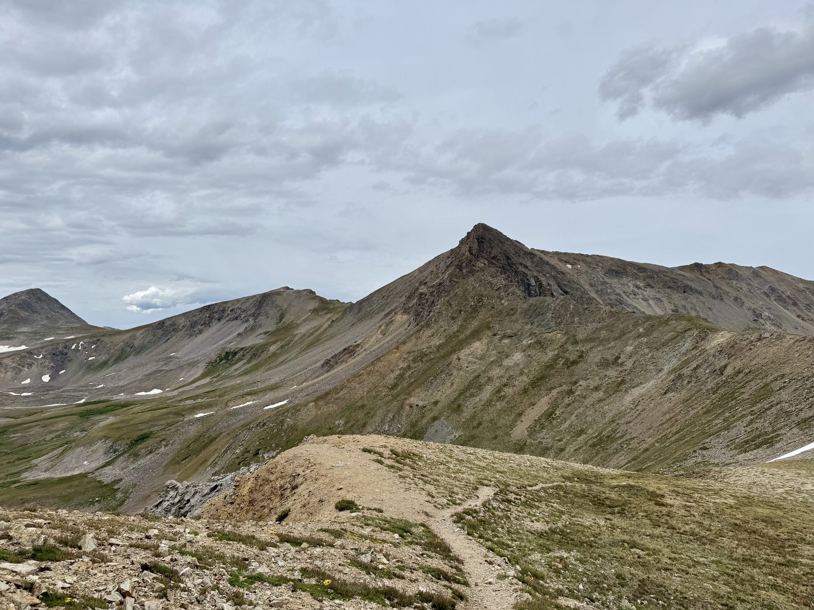
You get a great view of Missouri Mountain and its east ridge as you approach Elkhead Pass, at 13,220′. It would simplify things neatly if you could simply scramble up the east ridge to Missouri from here. Alas, the east ridge is notorious for awful, rotten, loose rock; climbing it is advised against even by the adventurous. Gerry Roach warns, “[t]his route’s class 4 rating disguises a serious and dangerous climb. What should be Missouri’s premier mountaineering route is so rotten that it is relegated to this author’s nightmares.” I want no part of Gerry Roach’s nightmares. His description of the climb ends tersely: “Descend another route.“
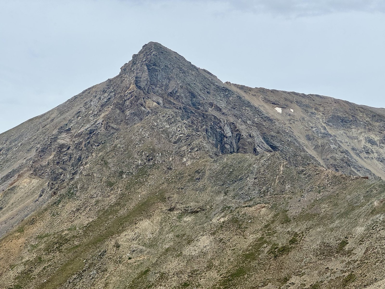
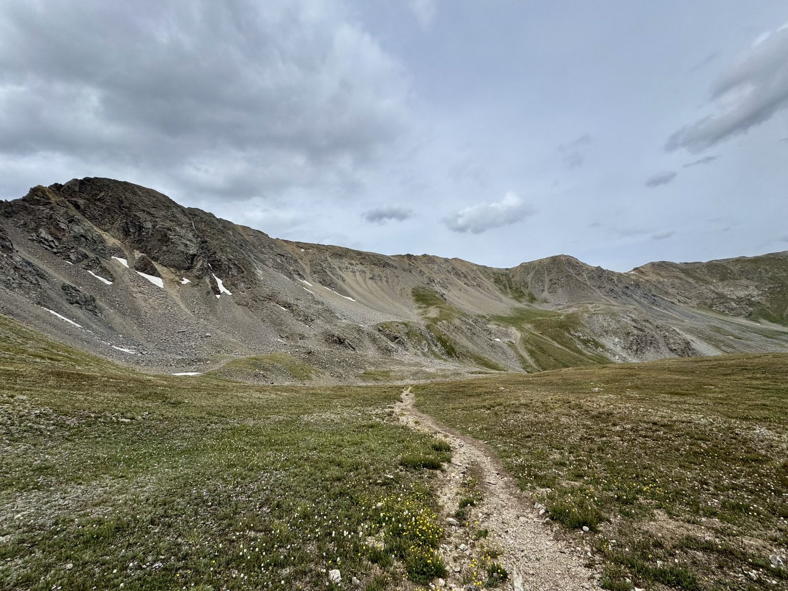
I was happy with my choice of descent route, as the Elkhead Pass trail was gentler than the steep slog from this morning. The trail winds its way down from the pass into Missouri Gulch and eventually joins back up with the Belford trail below the second set of steep switchbacks. I passed the turn to head up Missouri at the 6 hour mark, around 10:35AM, and only gave it a passing, wistful look. I was ready to be done.
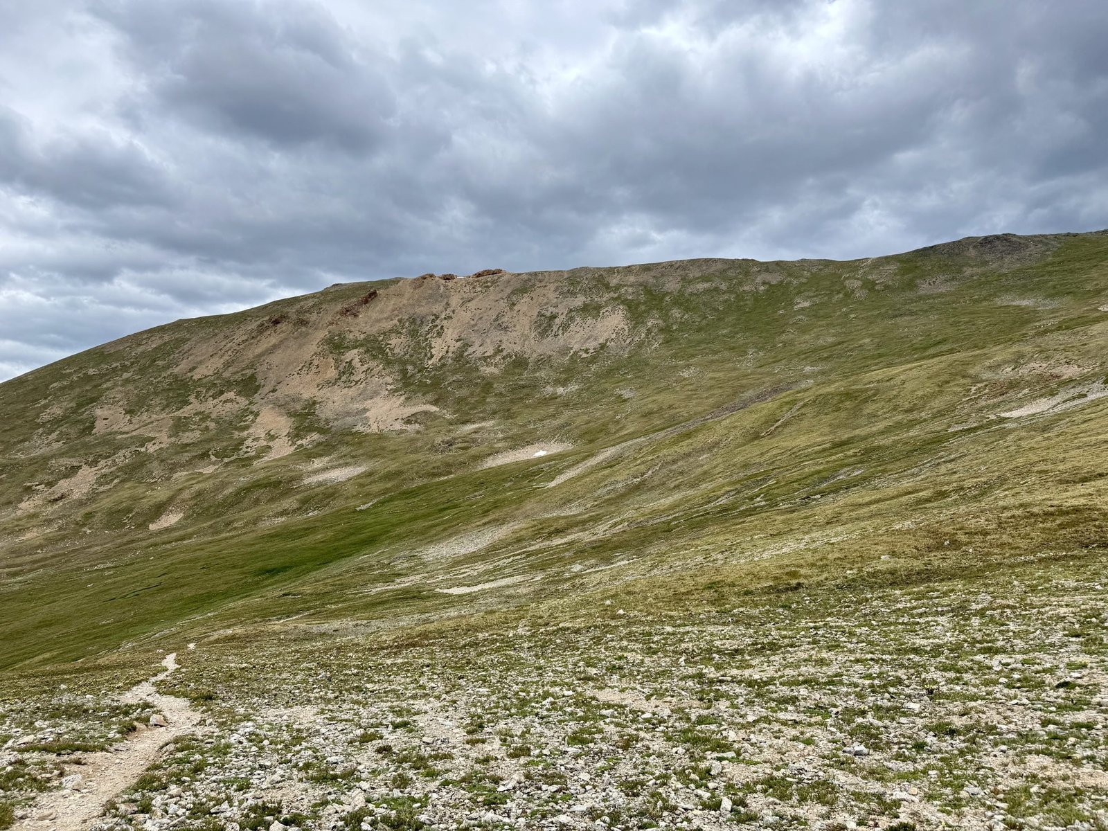
I made good time descending but it was still after noon when I arrived back at the car. In all, I took 7h35m to cover the 12 miles and 6,266′(!) of elevation for both peaks.
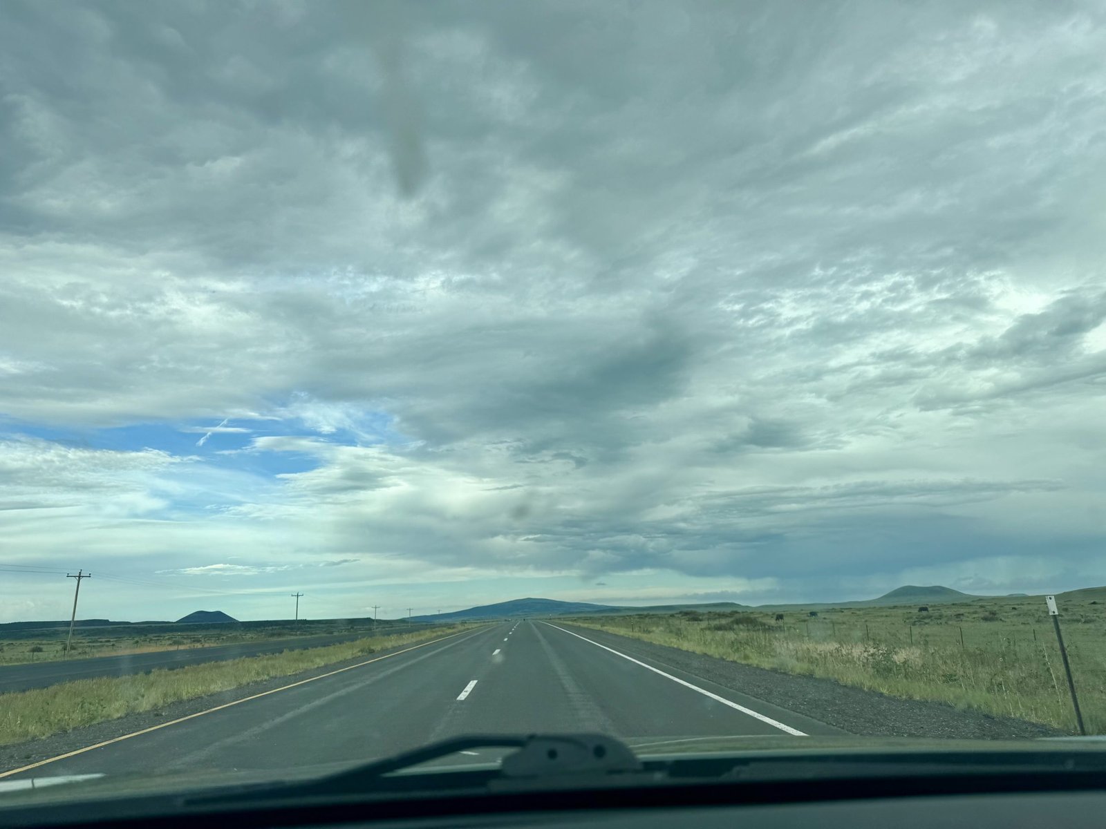
By now, I was good and tired after 10 peaks in the 10 days I’d spent in Colorado. I decided the symmetry was a good enough reason to call it a year and begin the long drive home. I drove about 7 hours Tuesday, stopping just short of the Texas border in Clayton, New Mexico. It was still a 9 hour drive Wednesday to make it home in the early evening. In total, I drove 2,500 miles this trip—roughly a thousand miles each way and 500 or so miles while in Colorado.
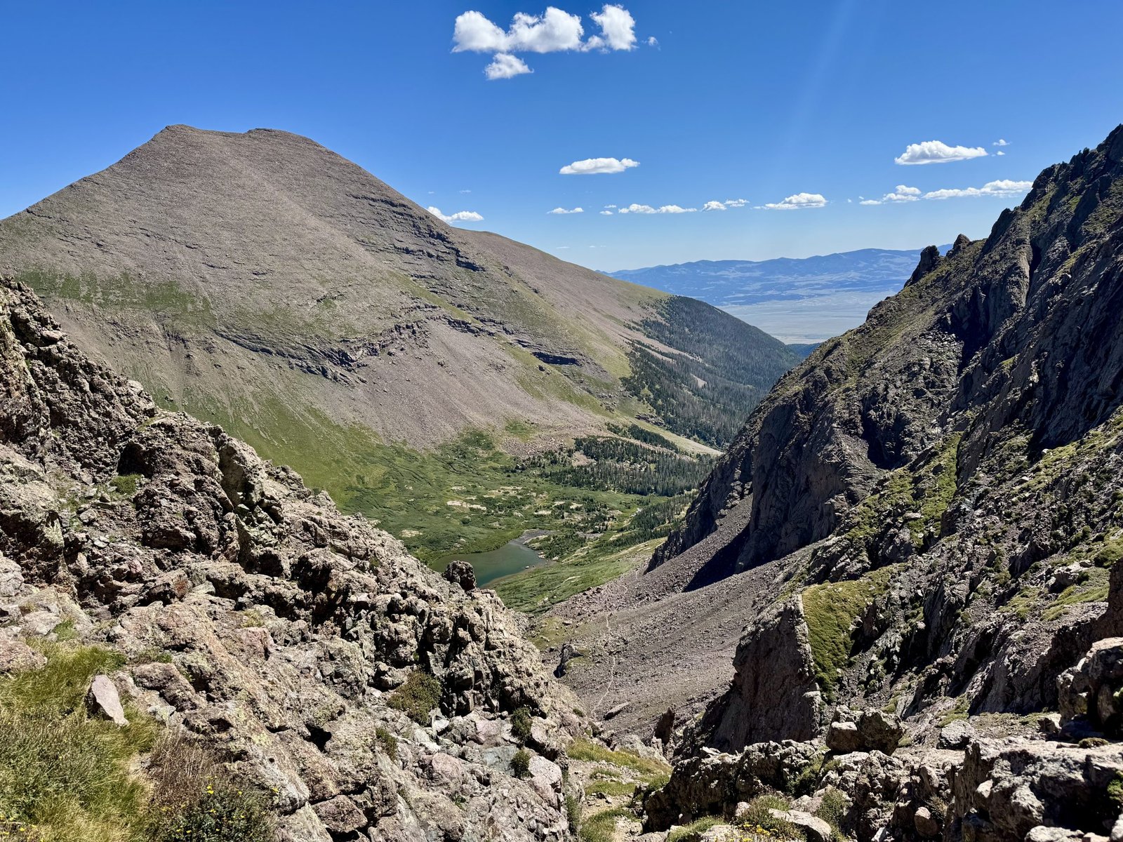
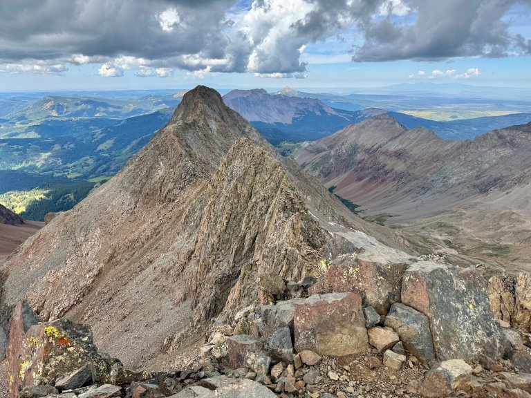
Last year’s climbs, Capitol Peak in particular, gave me confidence that I could finish the 14ers. This year, the number and difficulty of peaks climbed gave me confidence that I would finish the 14ers. 31/58 feels like a lot more than 21/58. Sometimes you just have to make it up and over the obstacle blocking your view to a rise to see the rest of the route and how far you’ve come.
- For an explanation of the difficulty ratings used (“class 3,” etc), see this summary. ↩︎
- Where possible, I am putting links to the route descriptions in links on the peak names. ↩︎
- The standard route used to crossover to the easier west gully about halfway up the east gully but that variation is little-used now, as most find it simpler to just climb the slightly harder east gully and not worry about looking for a turn. See the route description here. ↩︎
- The other trick to better car sleep I found this year was to remove the soft plastic trunk liner mats, which had a raised portion in the middle where the trunk section meets the folded-down rear seat section. With that out of the way, I was reasonably comfortable on my sleeping pad and was hardly cold enough to zip up the sleeping bag, even with the windows cracked. ↩︎
Loved reading this, Maff. Thanks for writing and sharing this. I wonder if an appropriate periodical might want to publish this. Glad for your successful adventure and thankful for your safe return.
Great read Maff and thanks for the links. I had fun following maps on 14er and All Trails. I am just amazed at the elevation gain and distances you cover at those altitudes. Wow!
Oh, my goodness, yes: how far you have come!!